It’s a busy time in Wendell Falls! Currently several phases of residential development are underway as well as several commercial components.
For a refresher on what’s going where please visit: https://philveasley.com/wendell/wendellfalls/
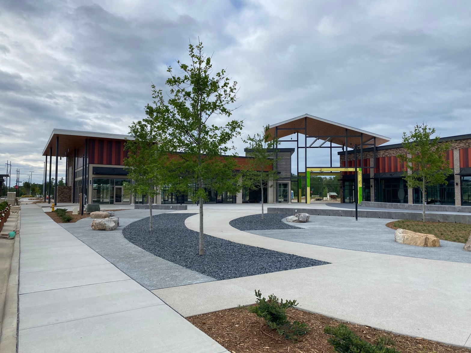
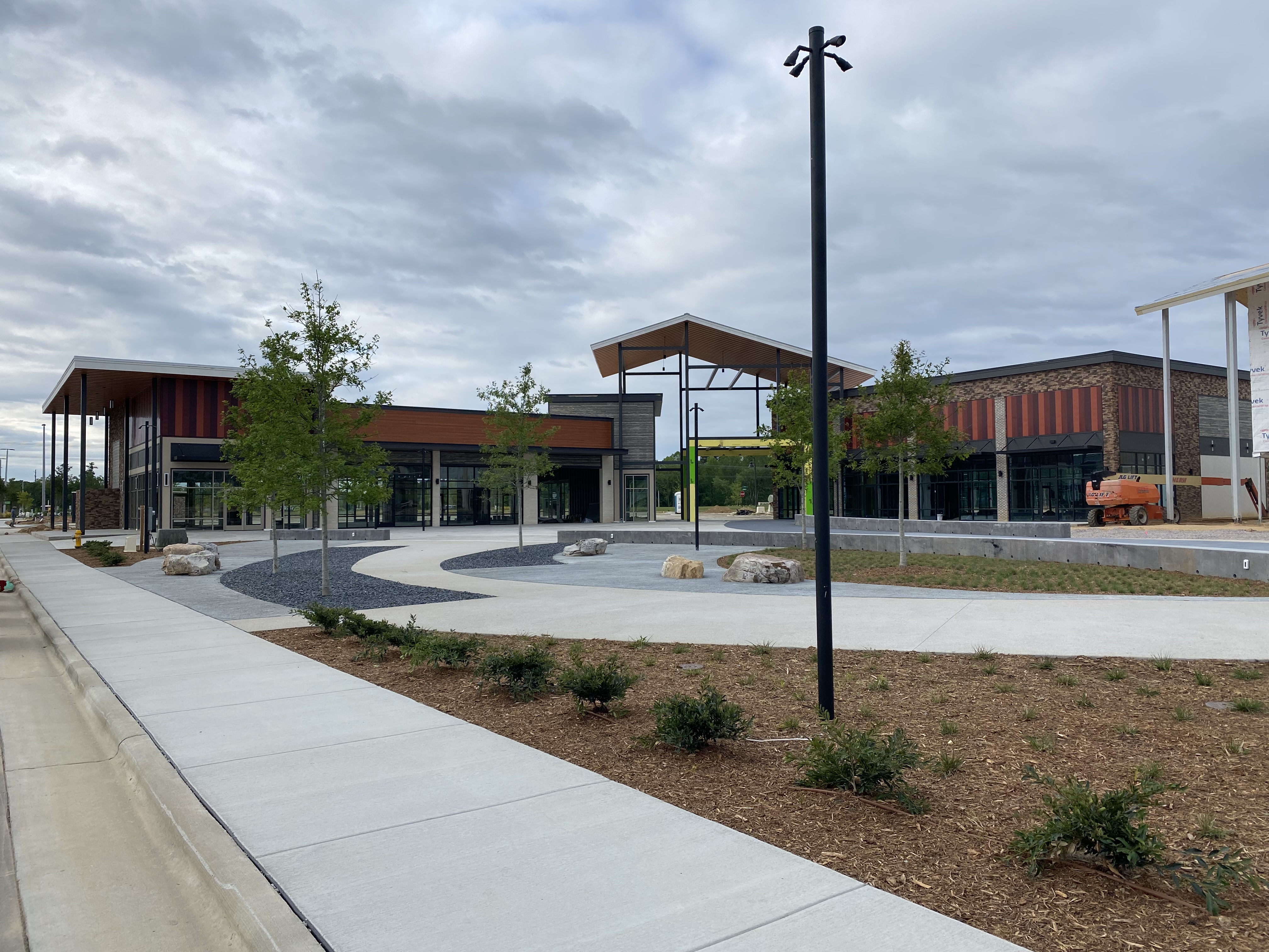
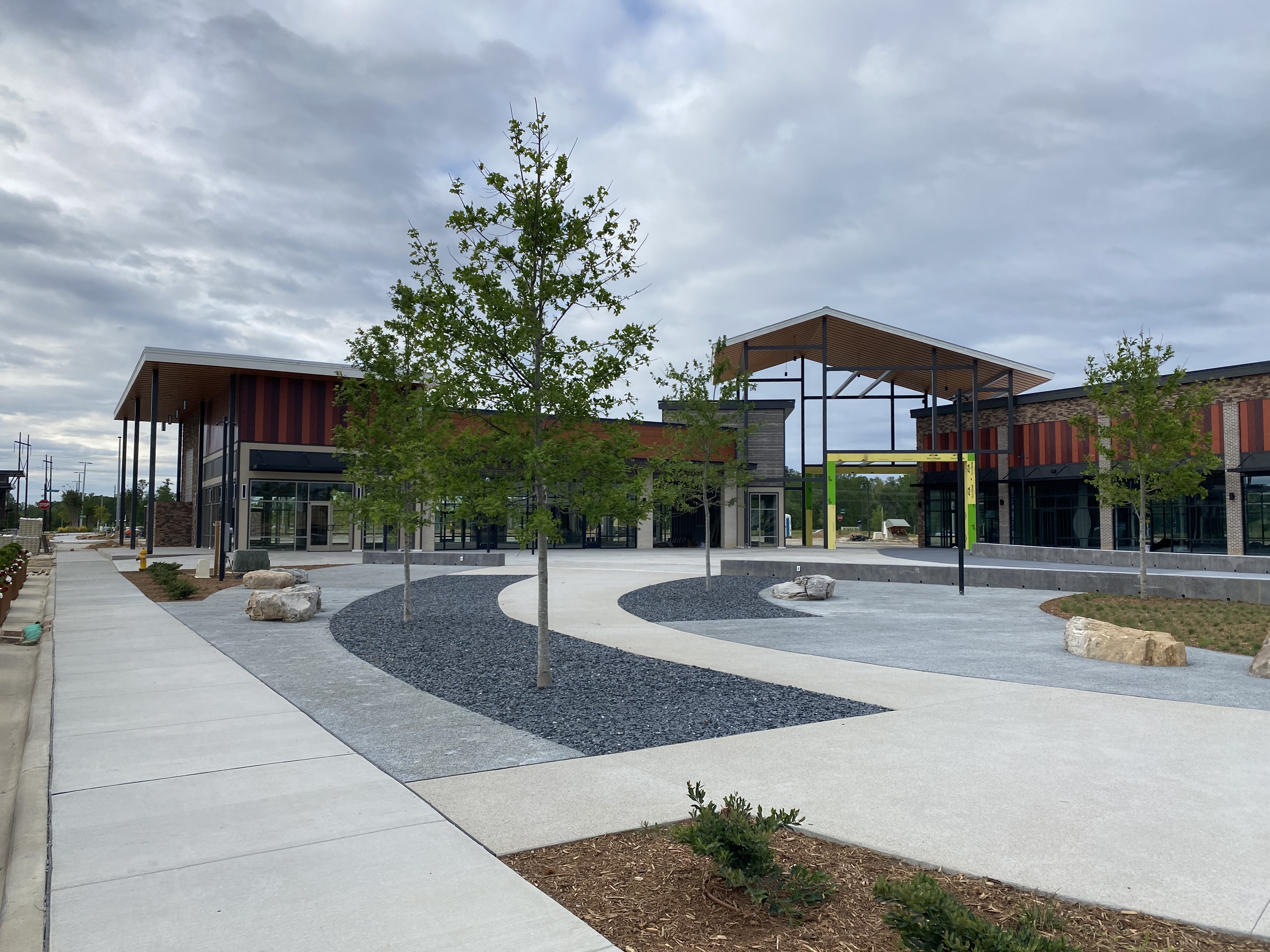
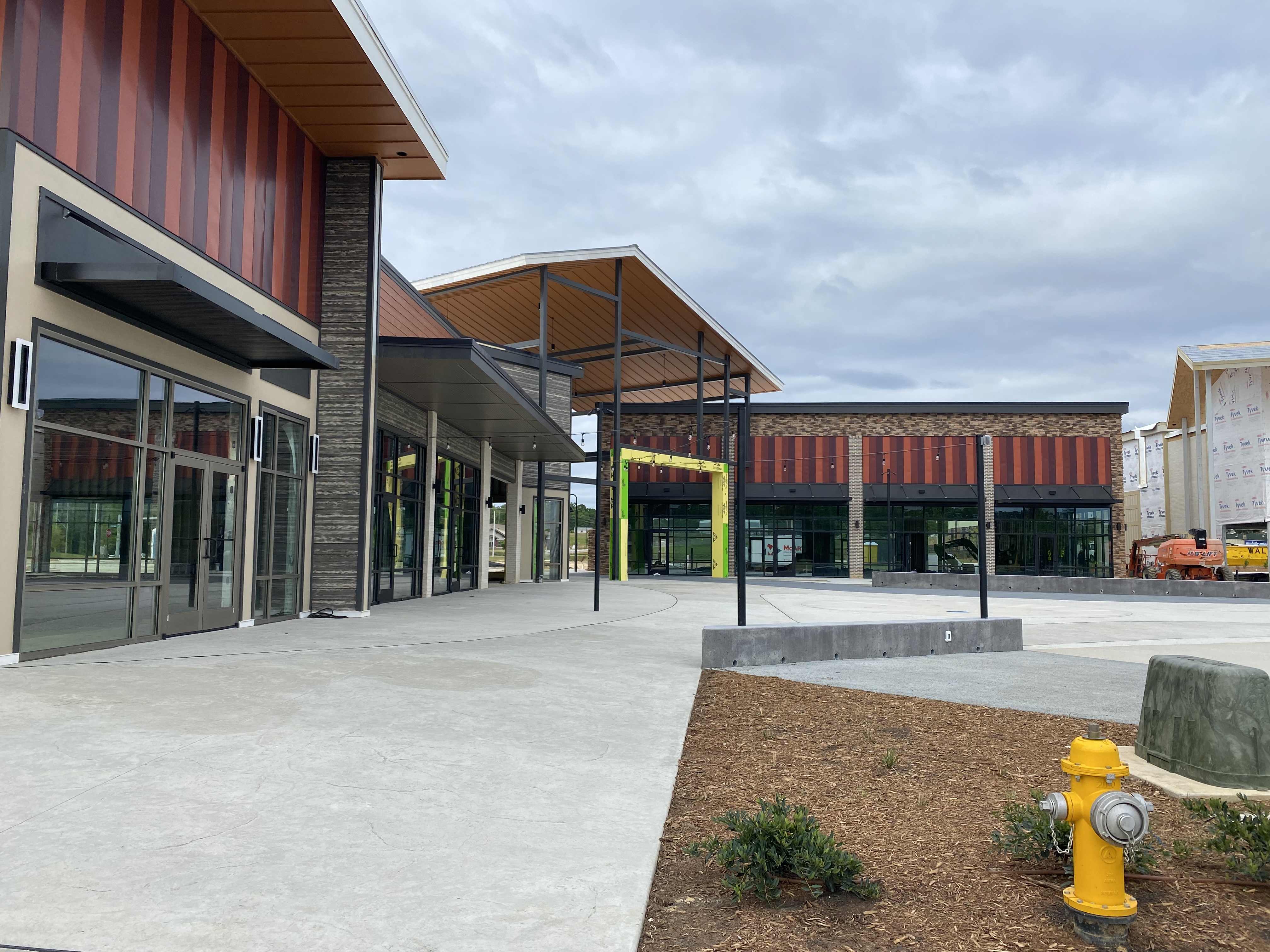
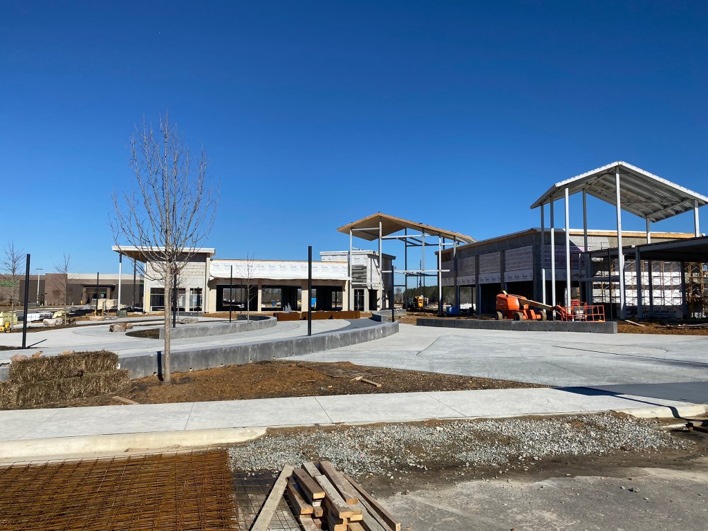
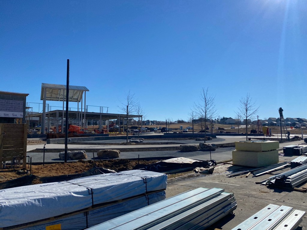
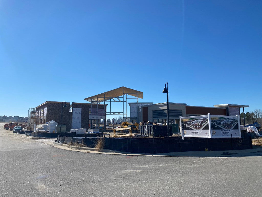
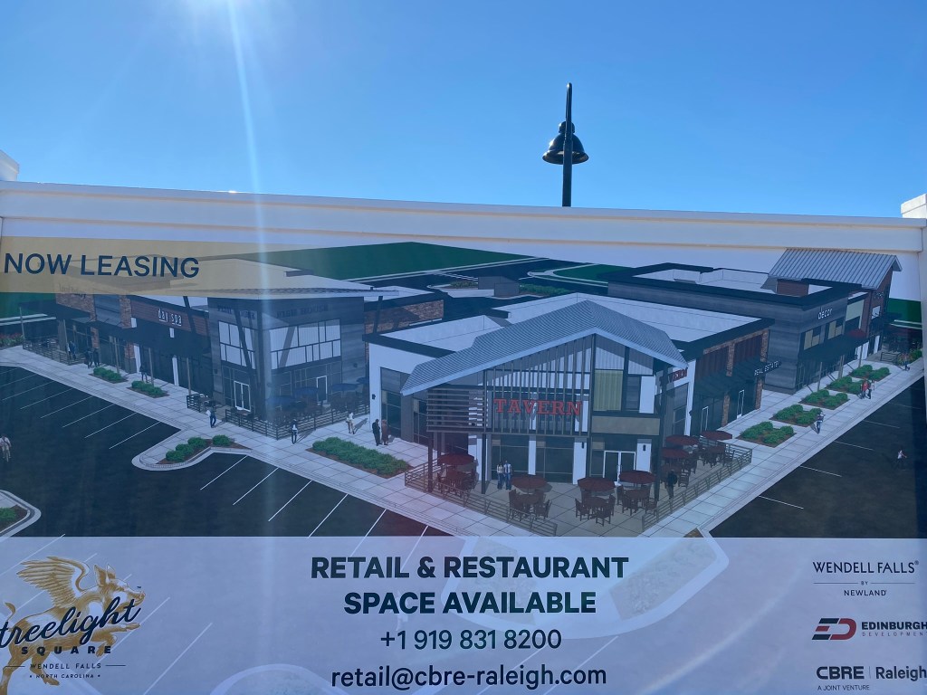
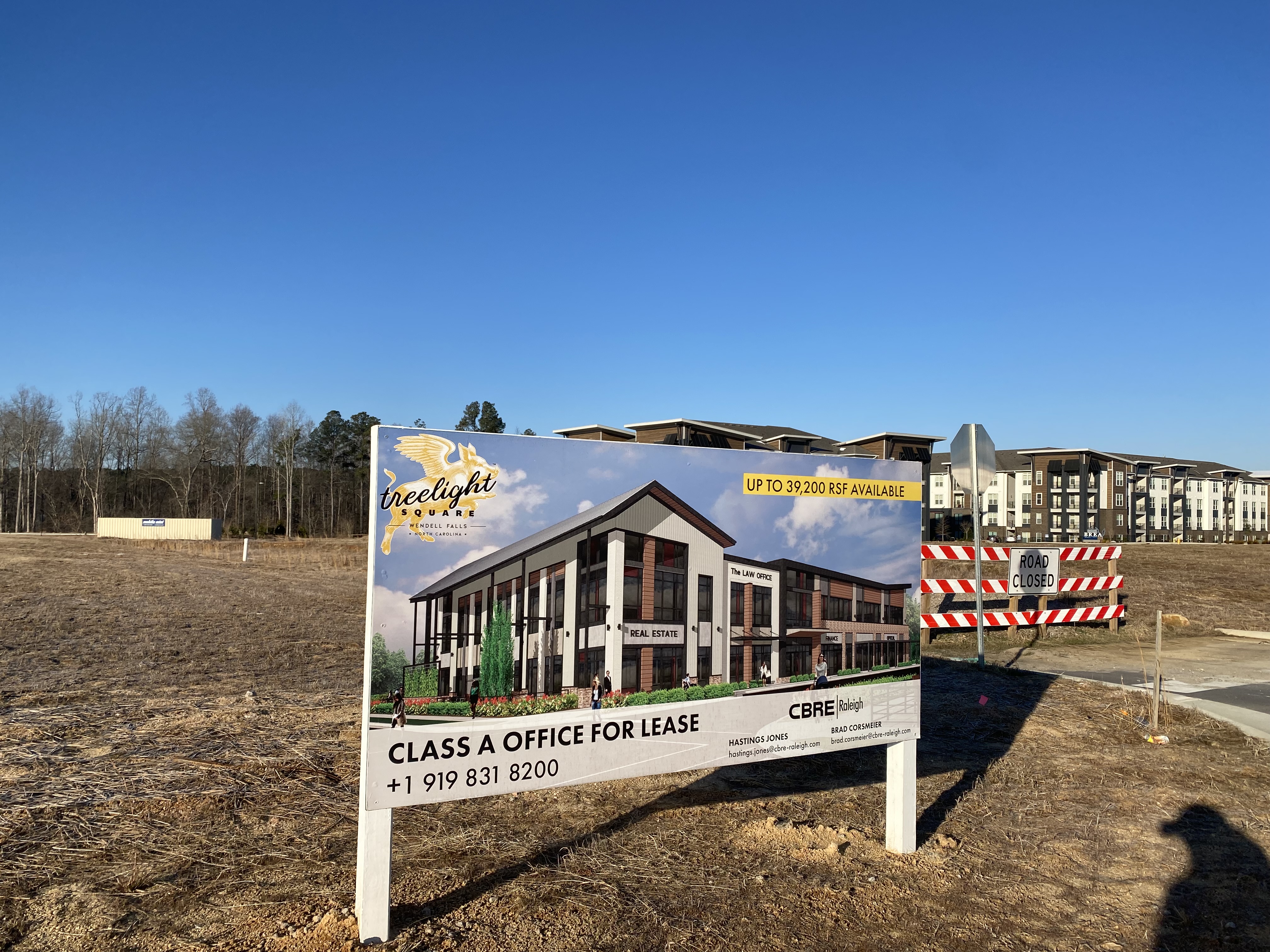
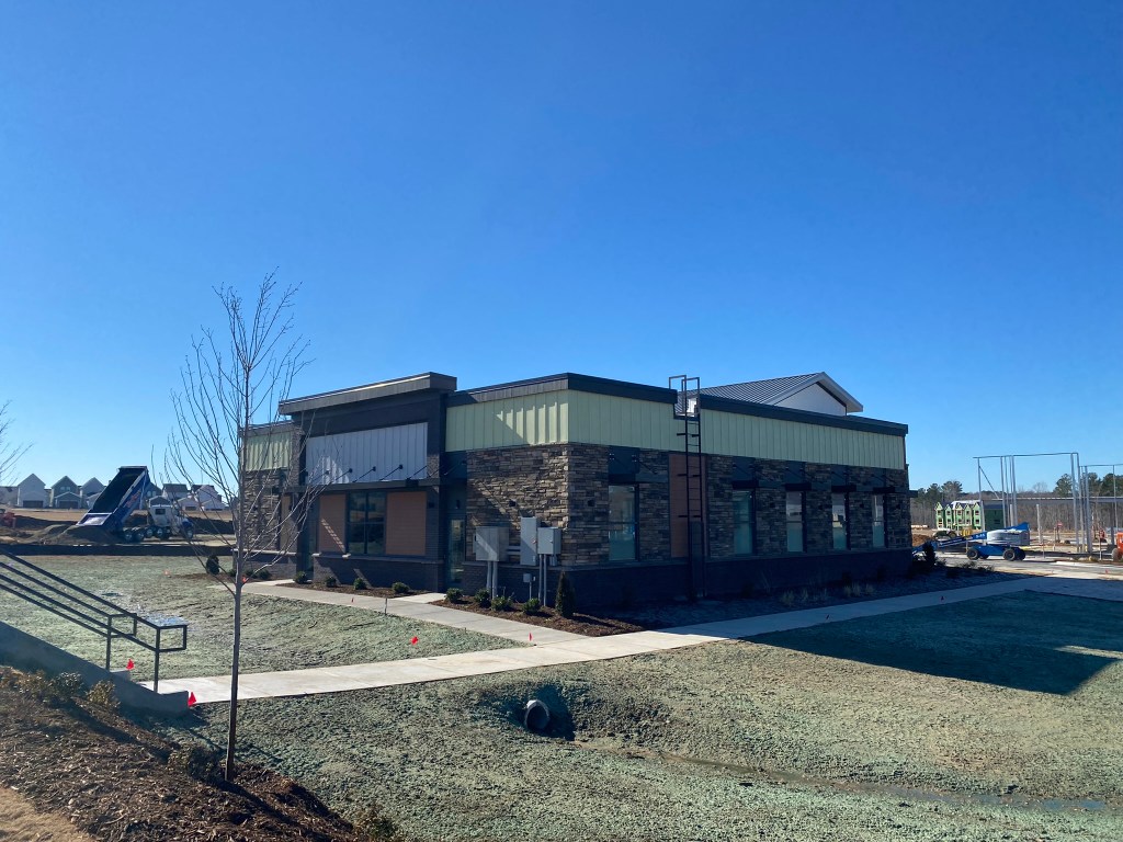
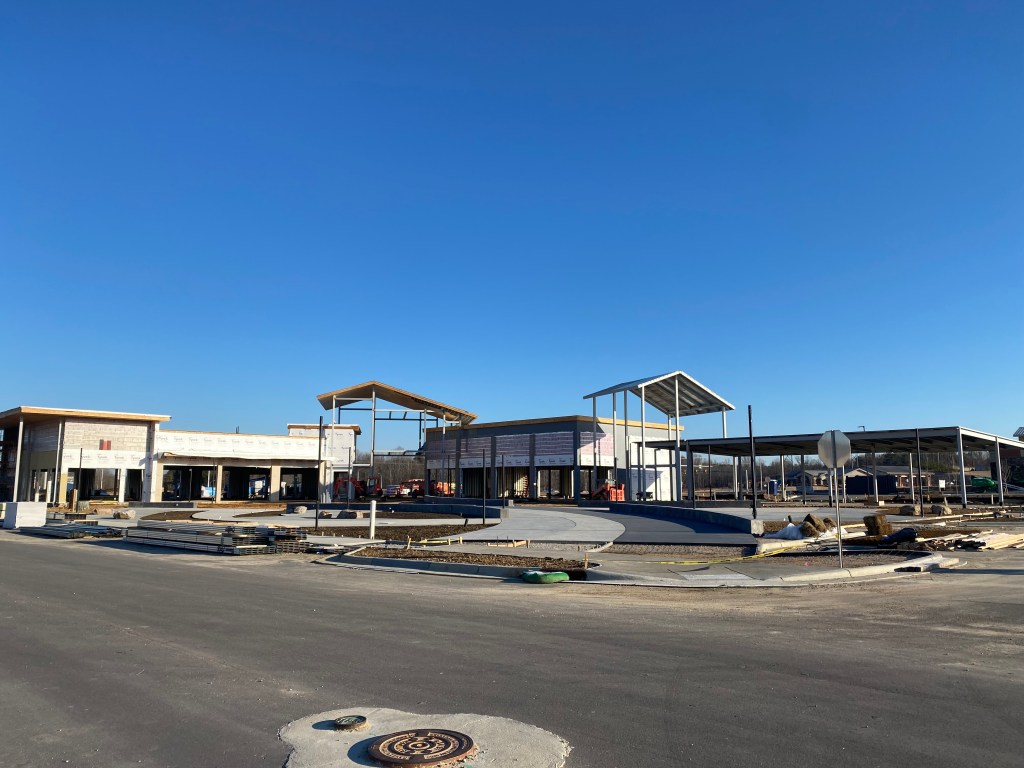
Treelight Square Phase 1
Exterior buildout is nearly complete and the landscaping has been installed. Latest word is that tenants should be open by year’s end.
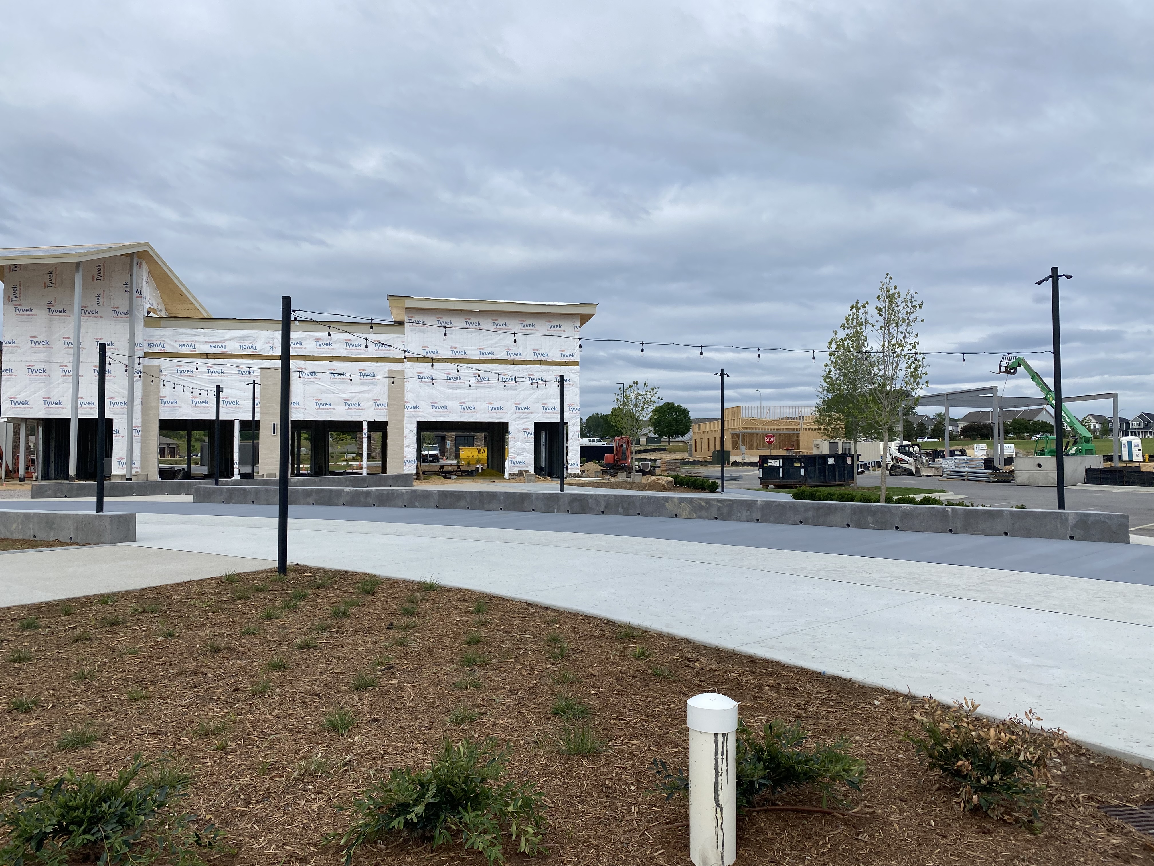


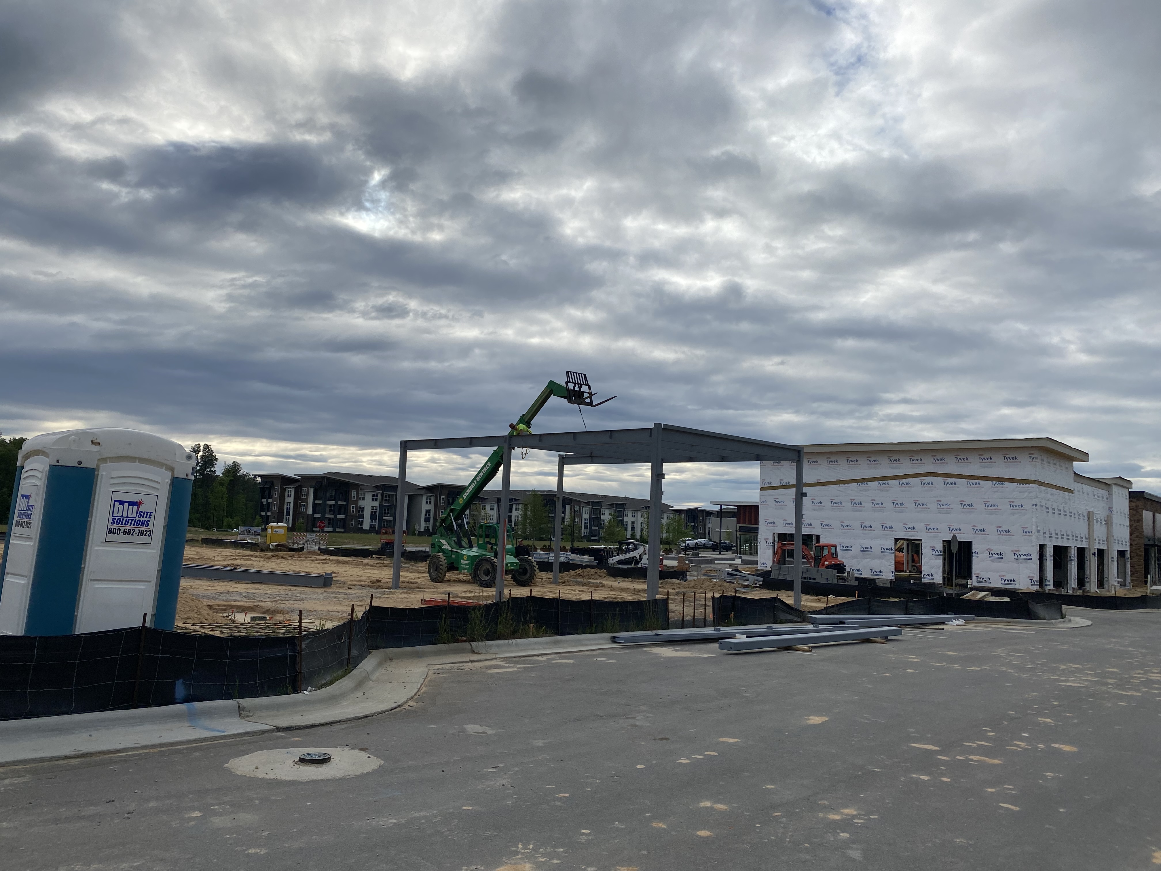
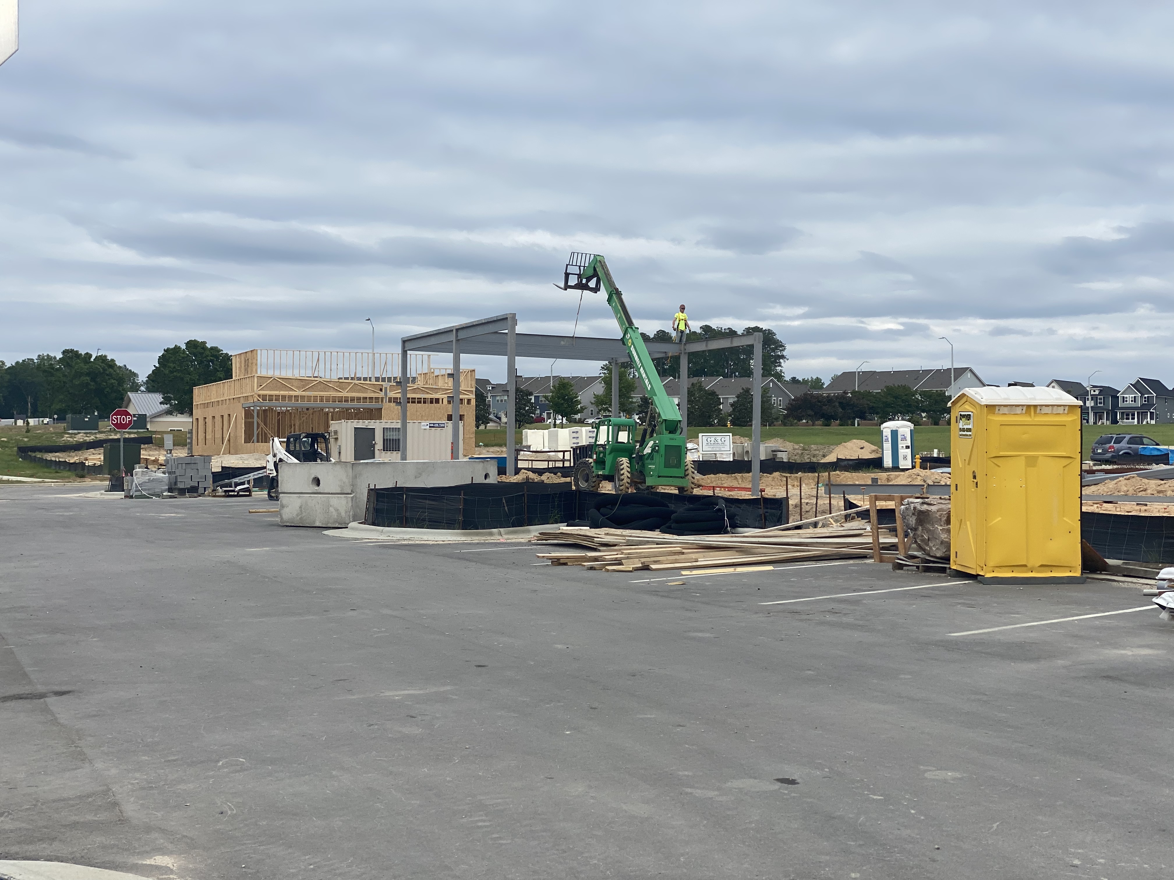
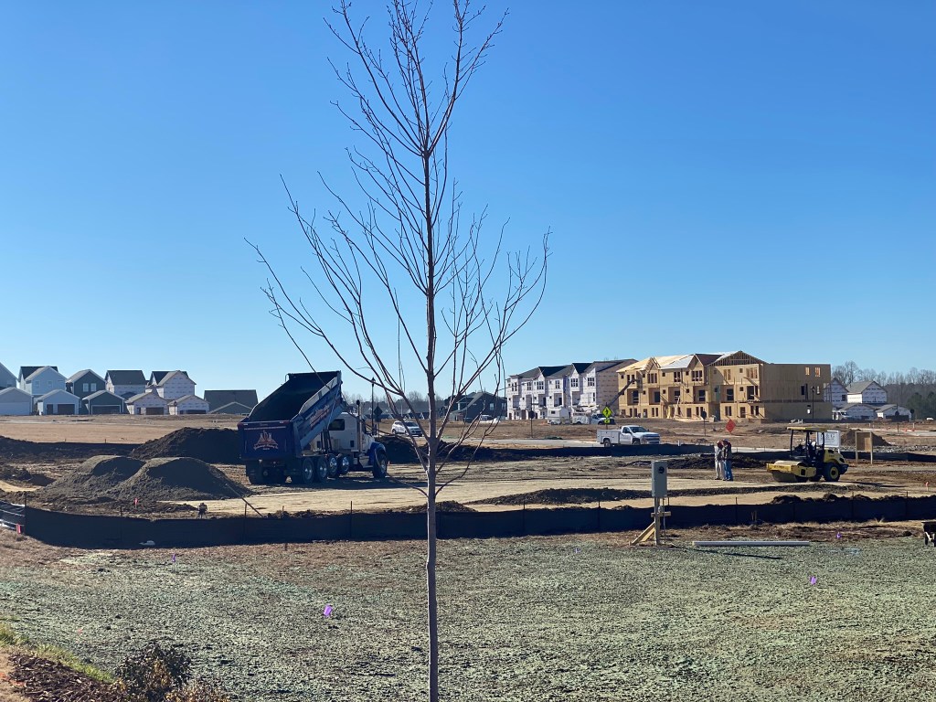
Treelight Square Phase 2
Footers are being dug and poured. Vertical construction started this afternoon! This will be an identical looking building as Phase 1.

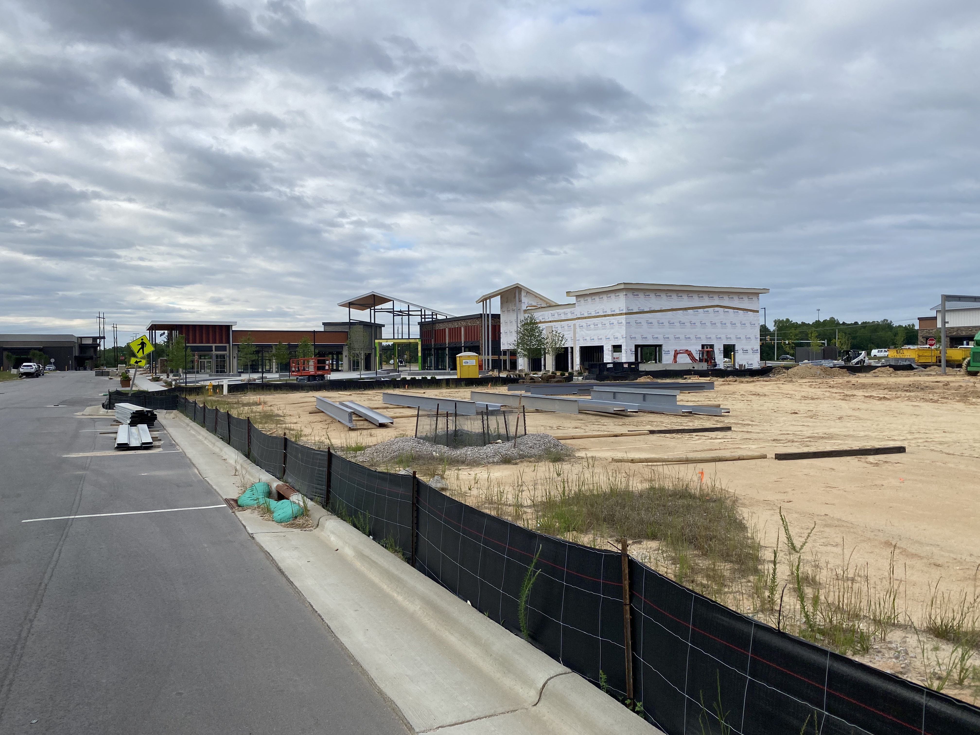

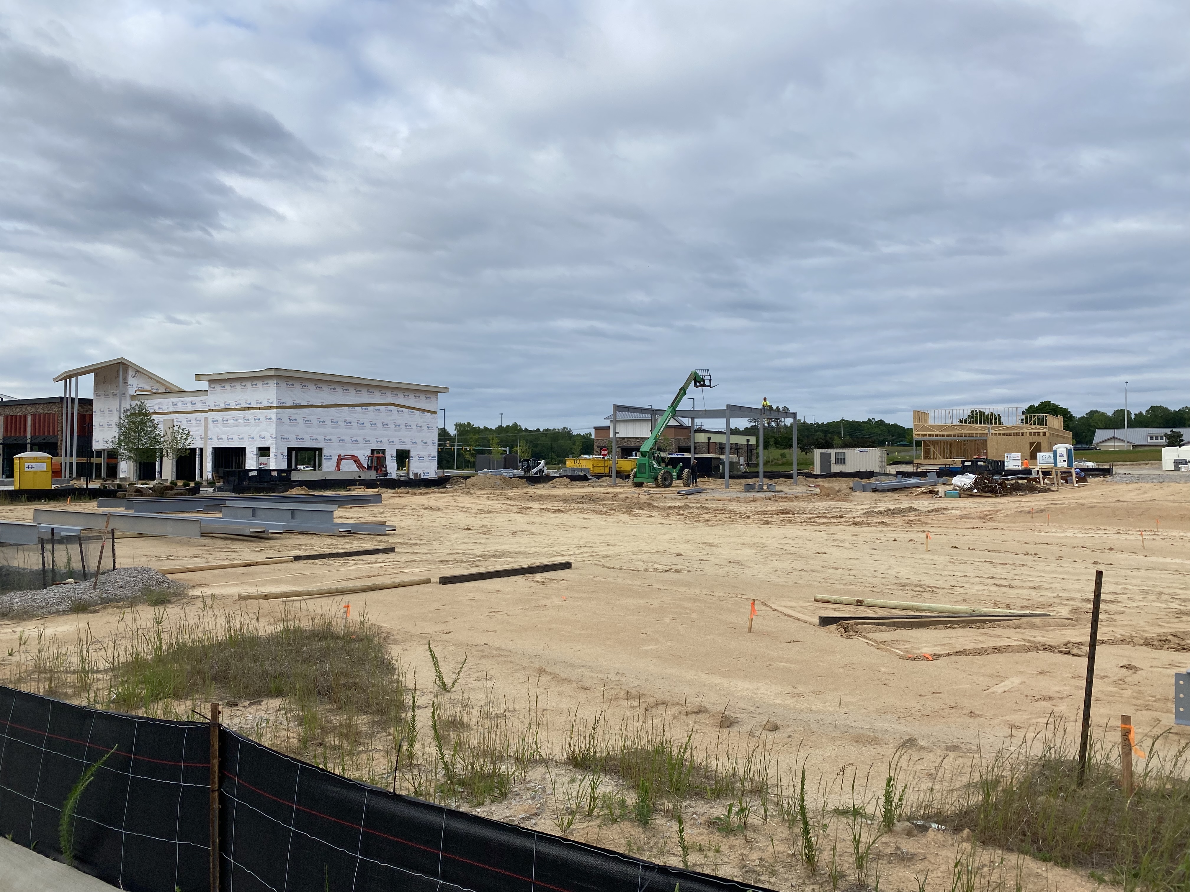
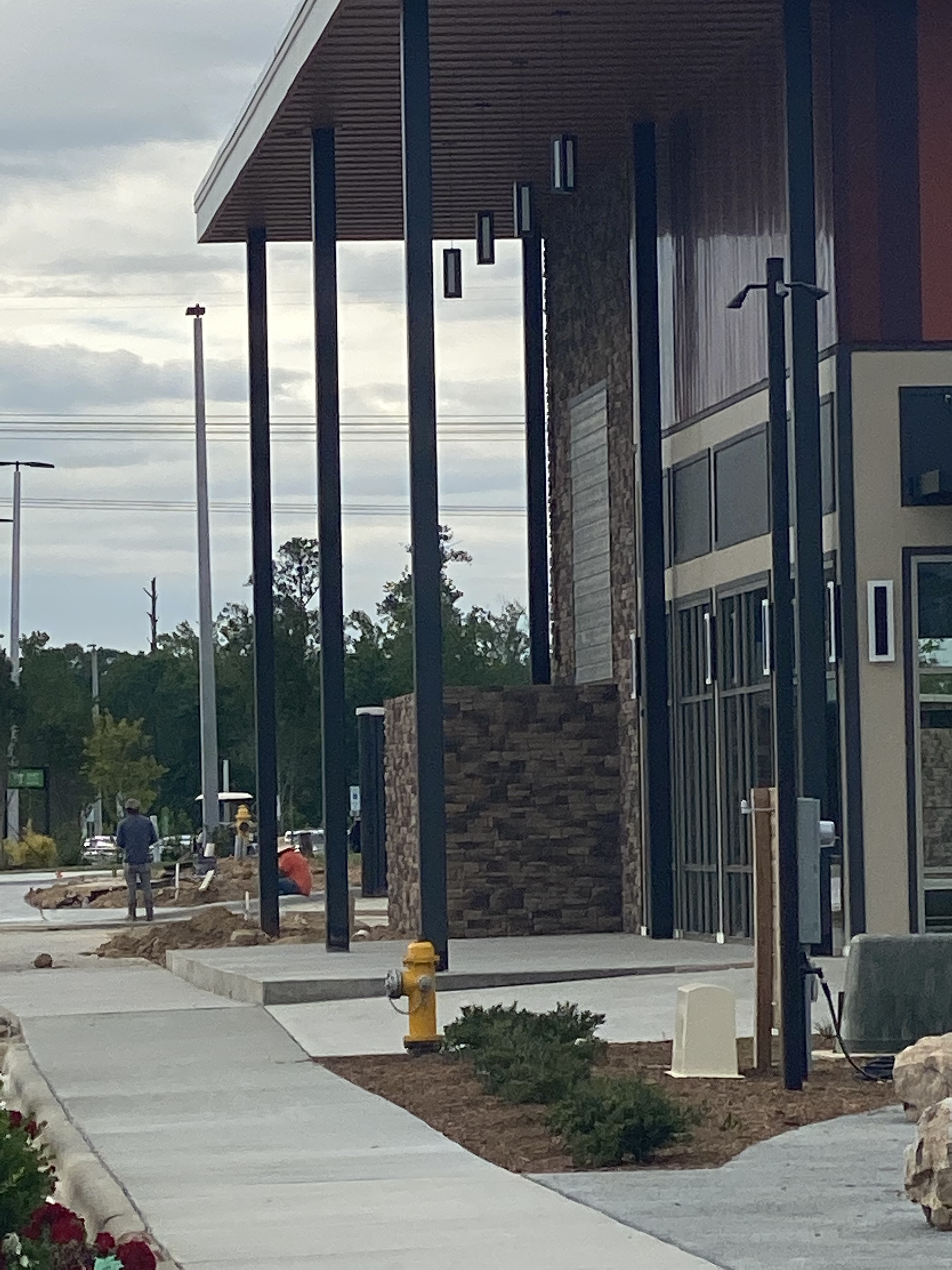
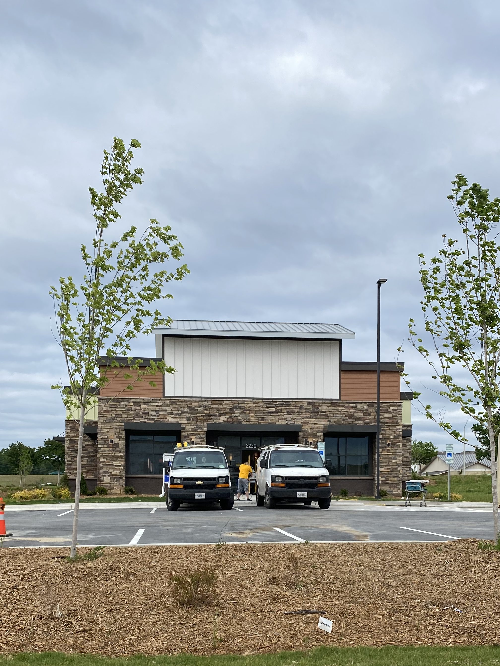
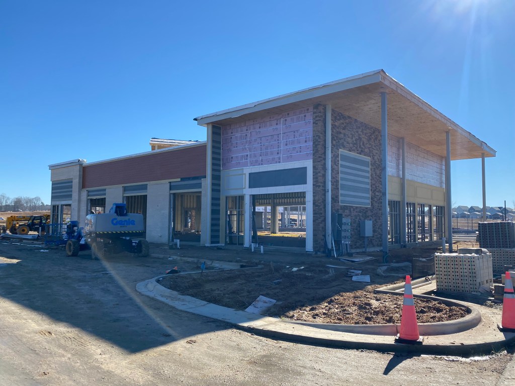
Heartland Dental
Exterior construction is complete. Interior build out appears to be moving along quickly. This will probably be the next thing to open.
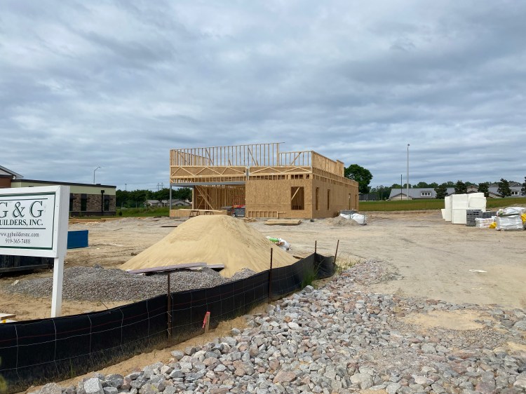
AFC Urgent Care
Construction is underway and framing is complete.
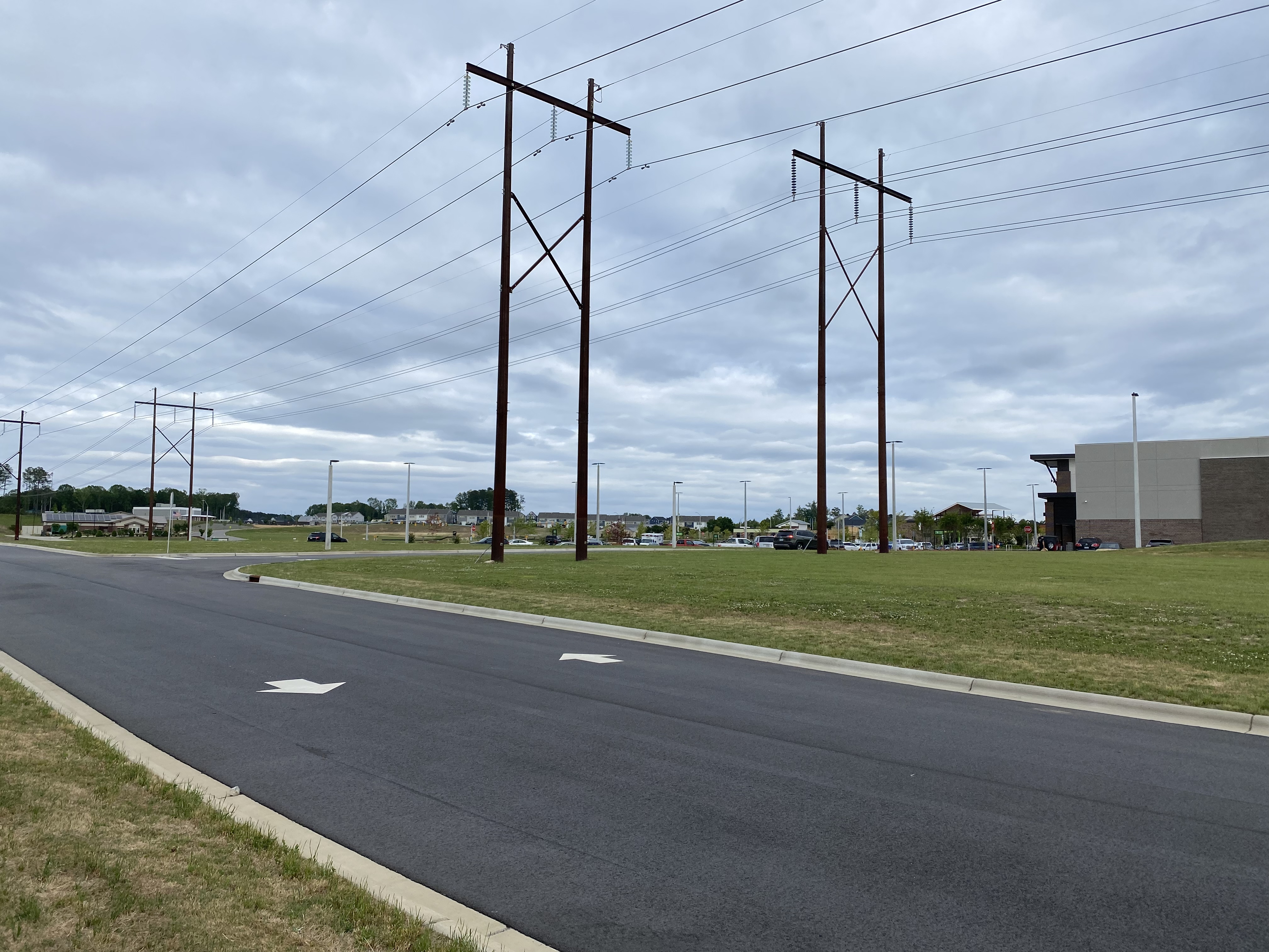
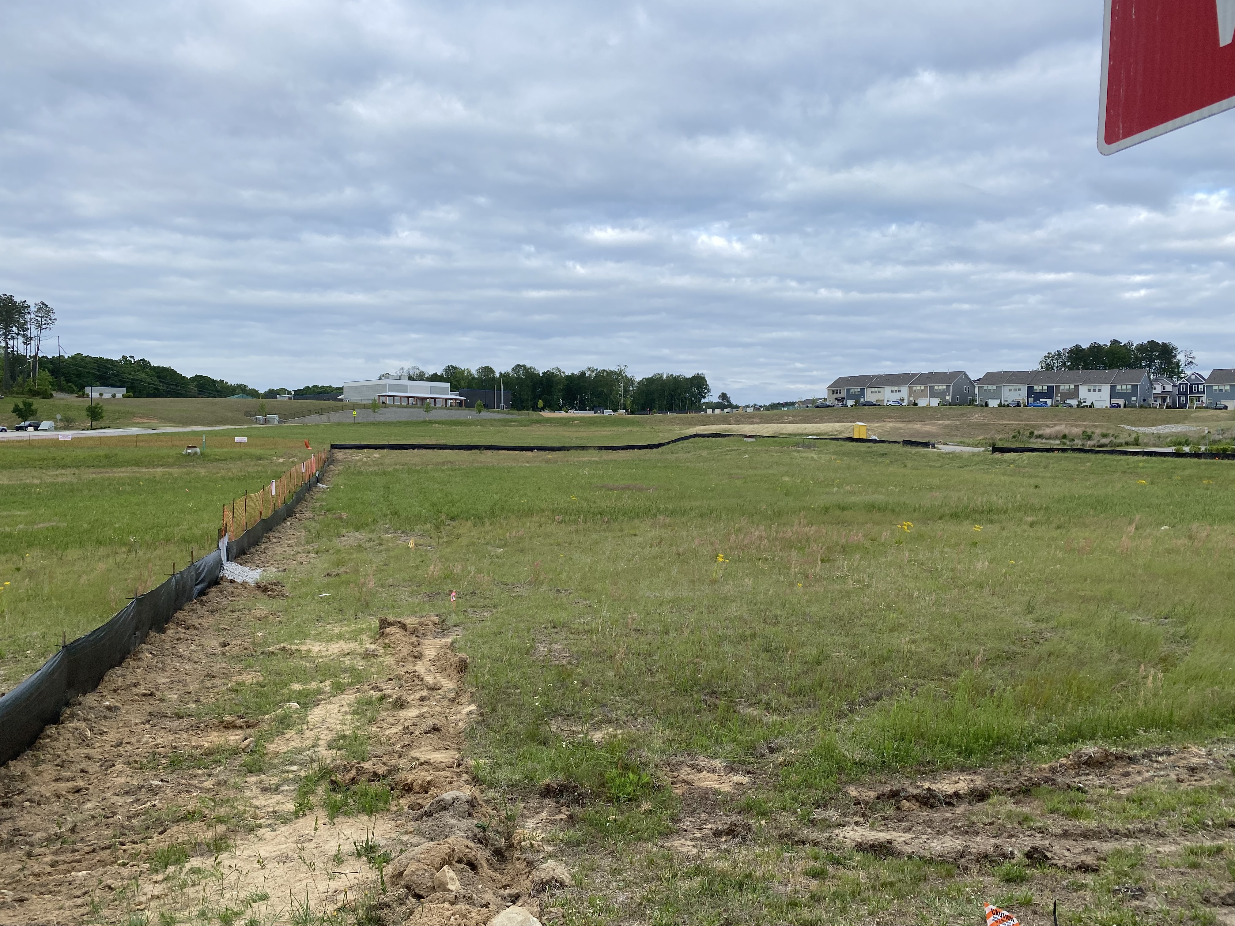
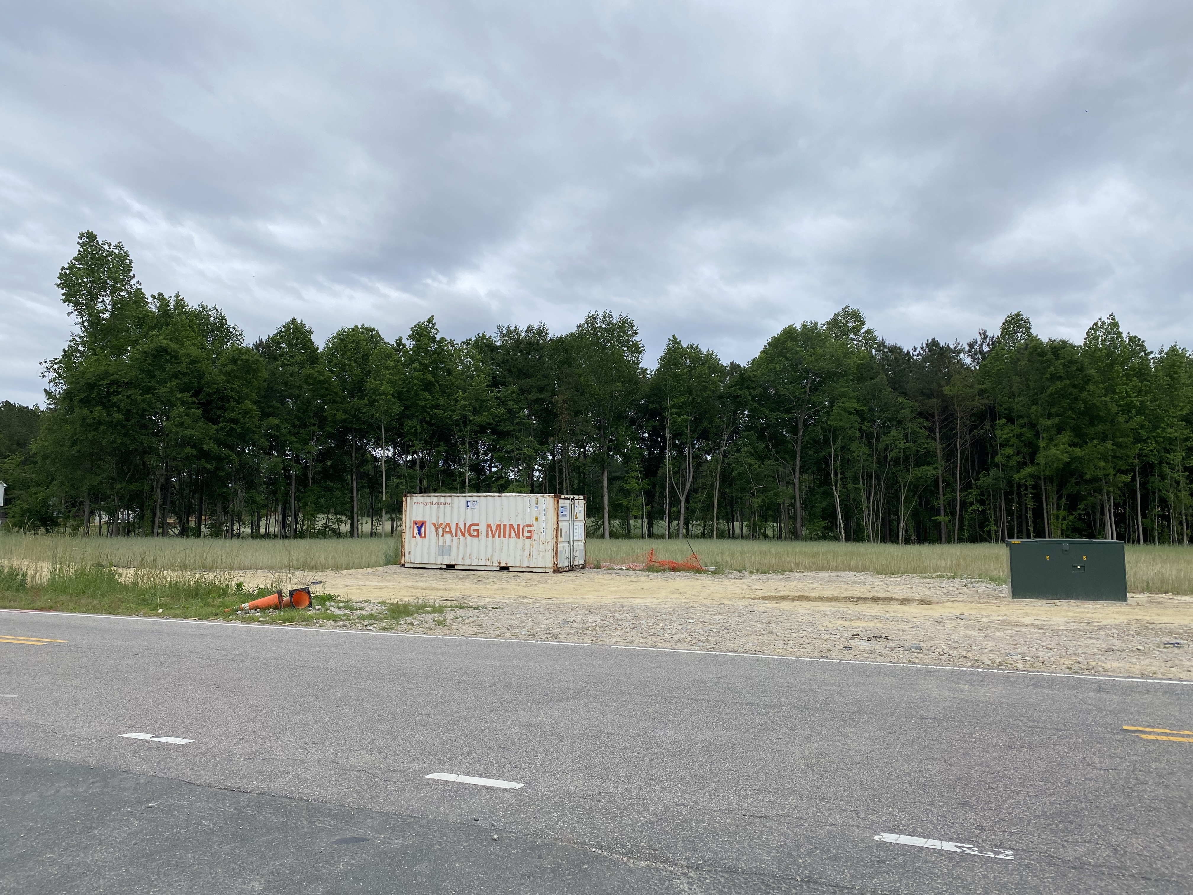
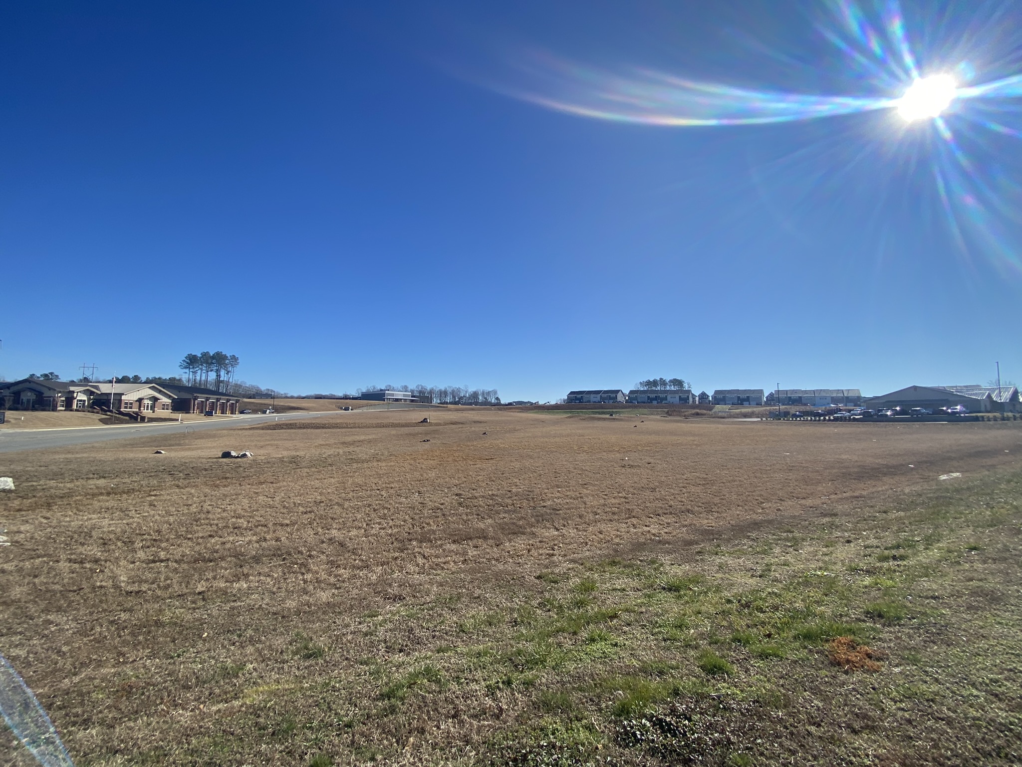
Senior Living Apartments
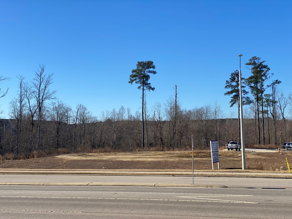
Plans for an age restricted apartment complex have been announced for the plot of land next to Publix.
The field will be the building and the parking will be under the power lines.

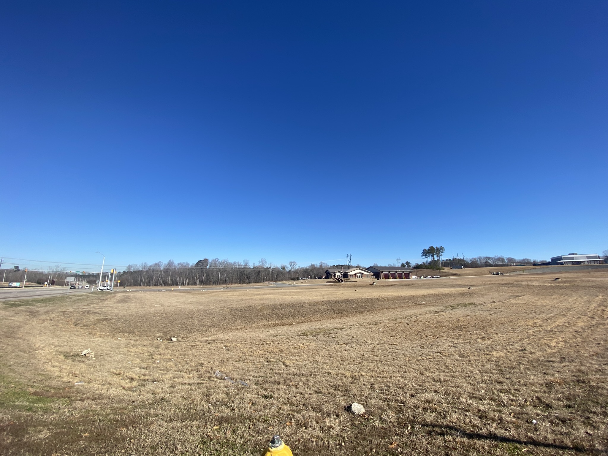
Starbucks
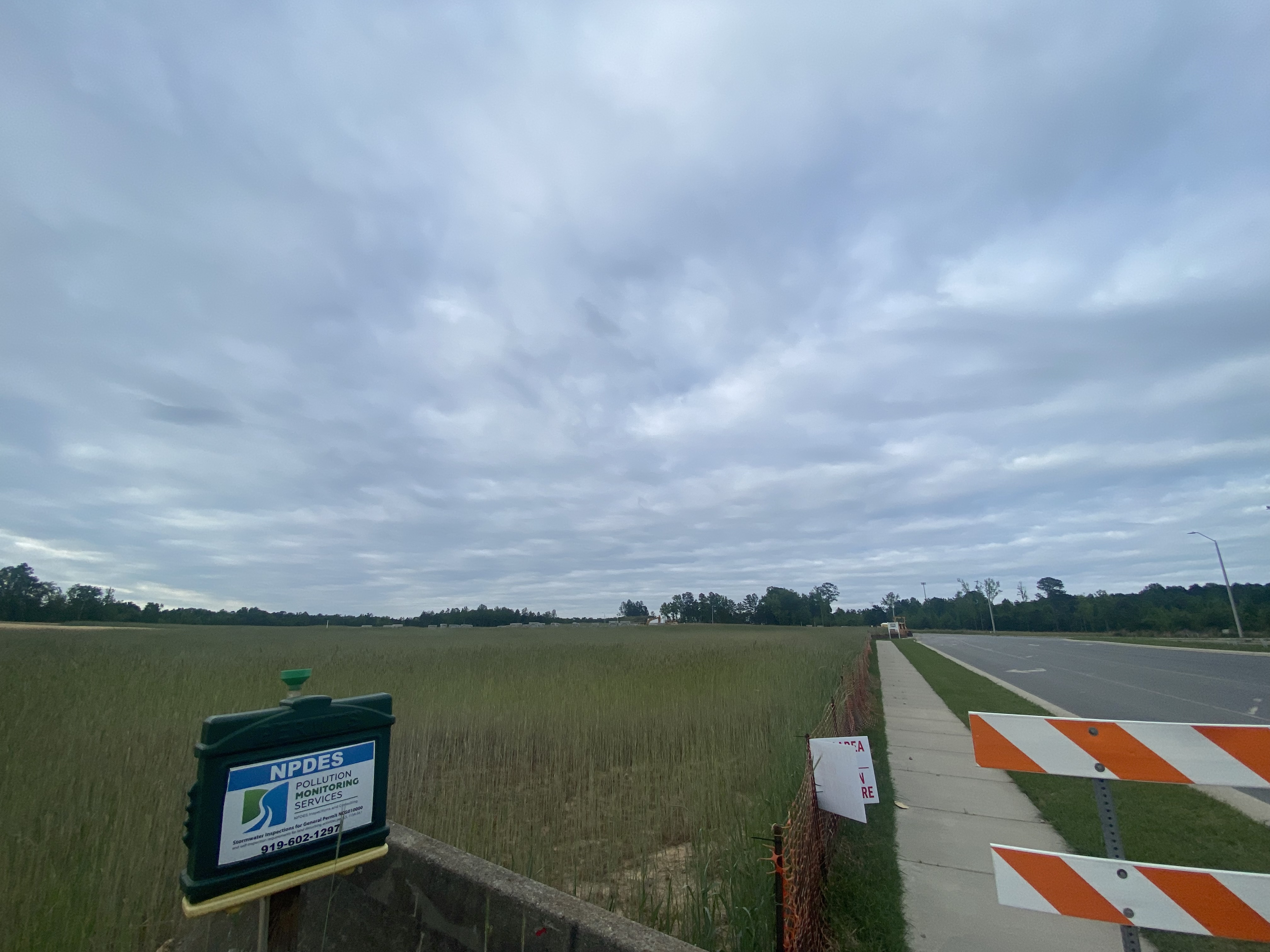
The silt fence has been installed and visible work should start any day! I’d estimate about 6-8 months for construction.
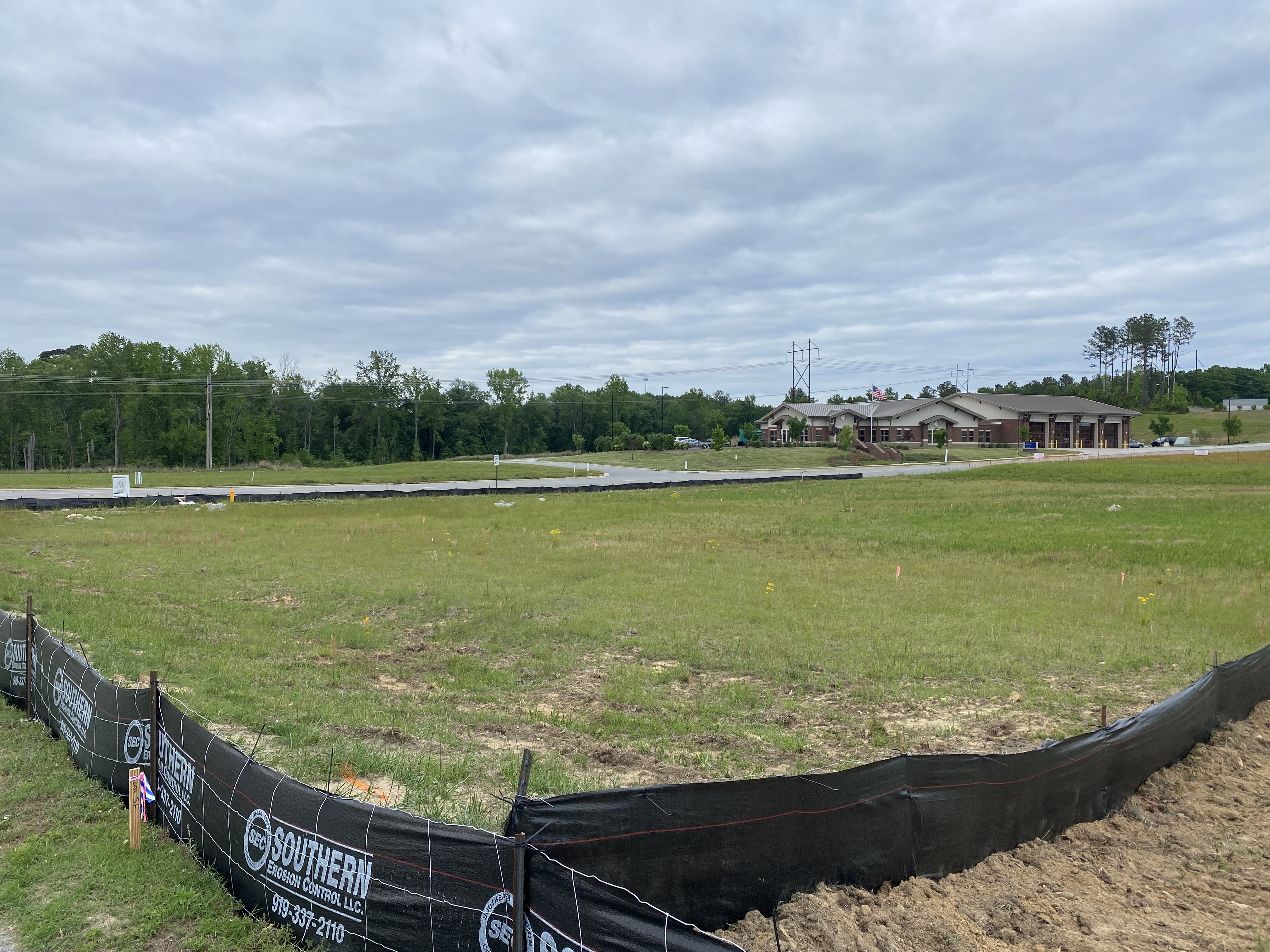
Bojangles
The silt fence has been installed and visible work should start any day! I’d estimate about 6-8 months for construction.
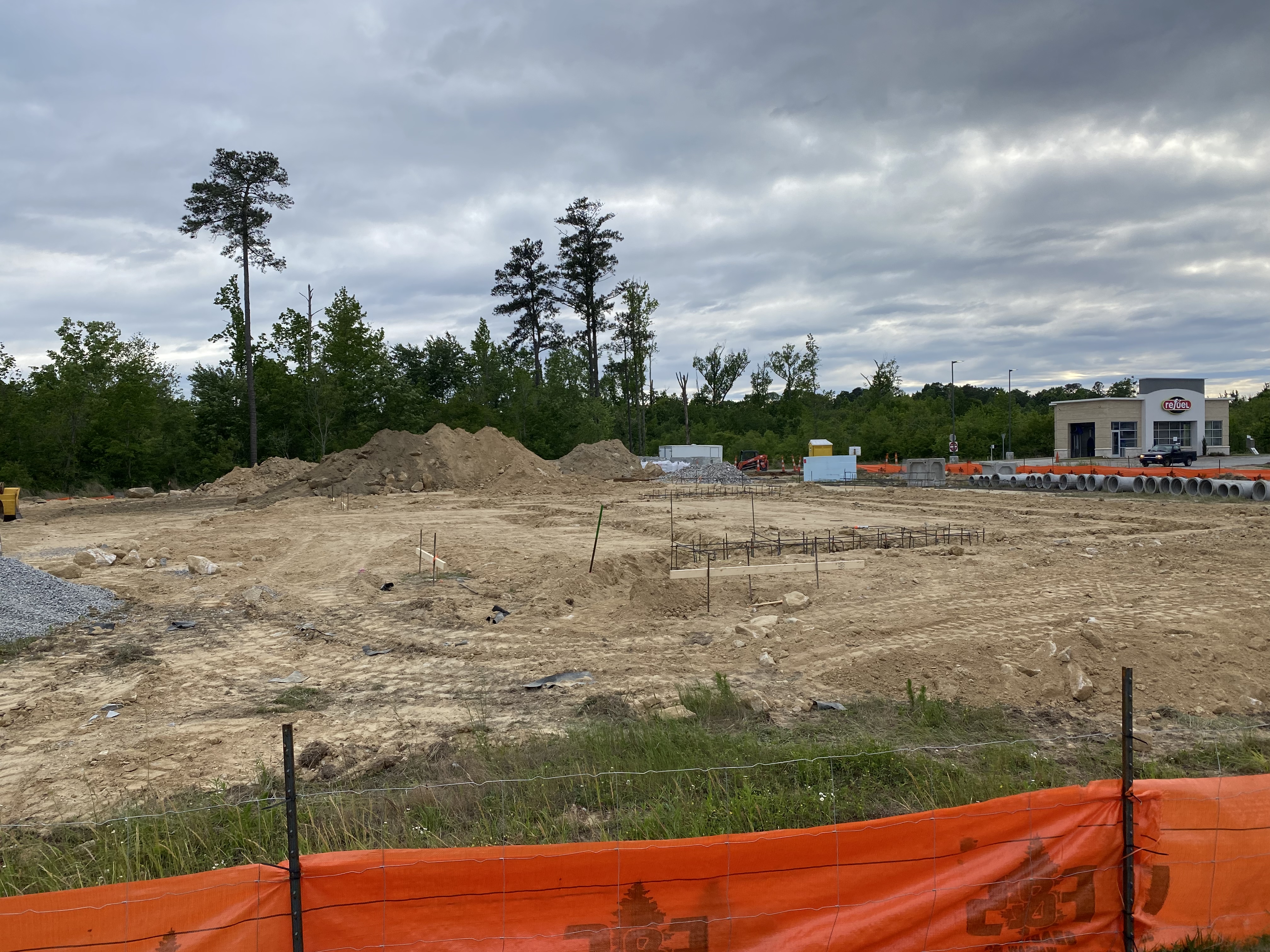
Wendy’s
This one went from rumor, to plans, to construction in just a few months! Footers are being poured and we’ll see vertical construction soon.
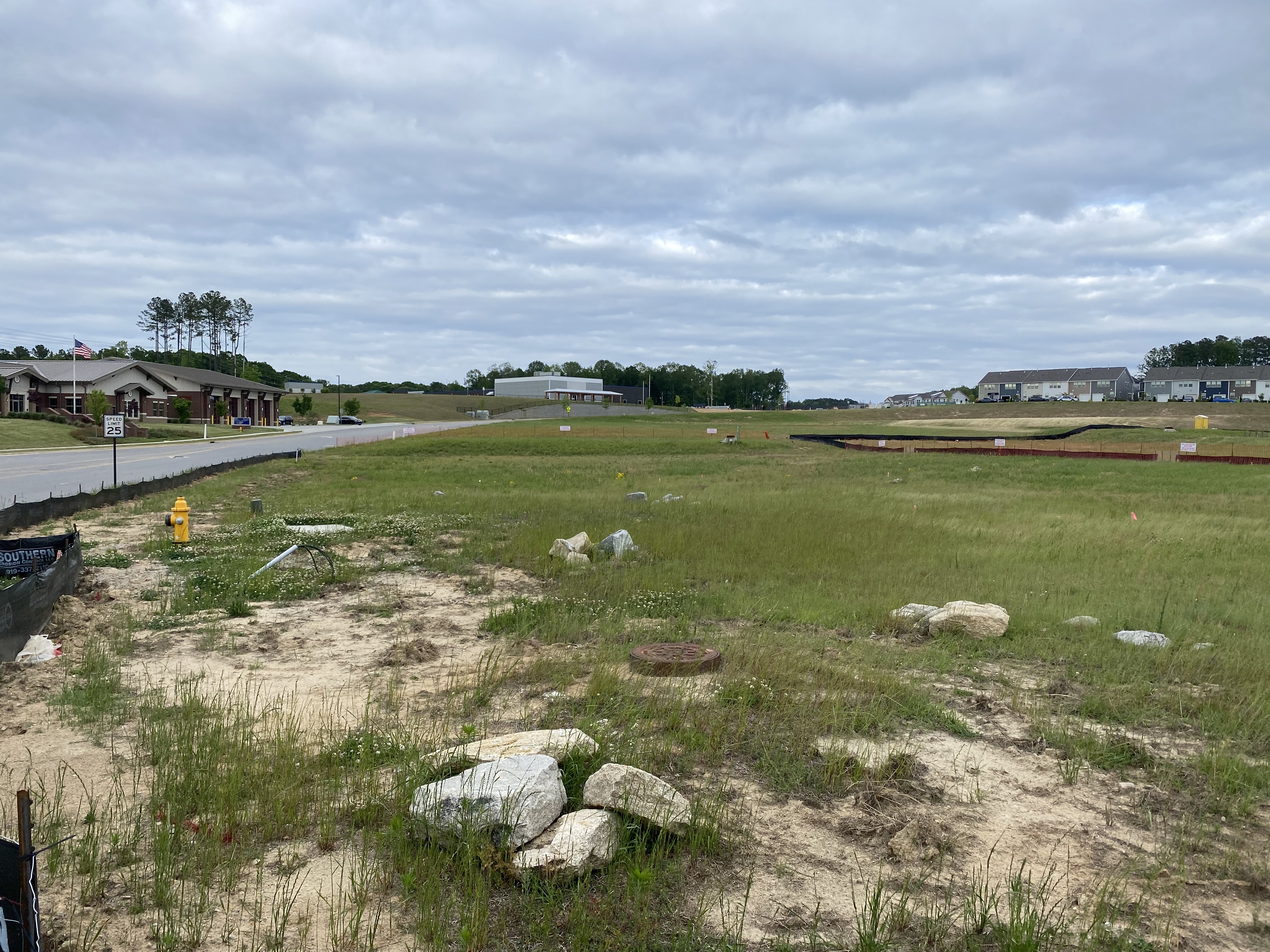
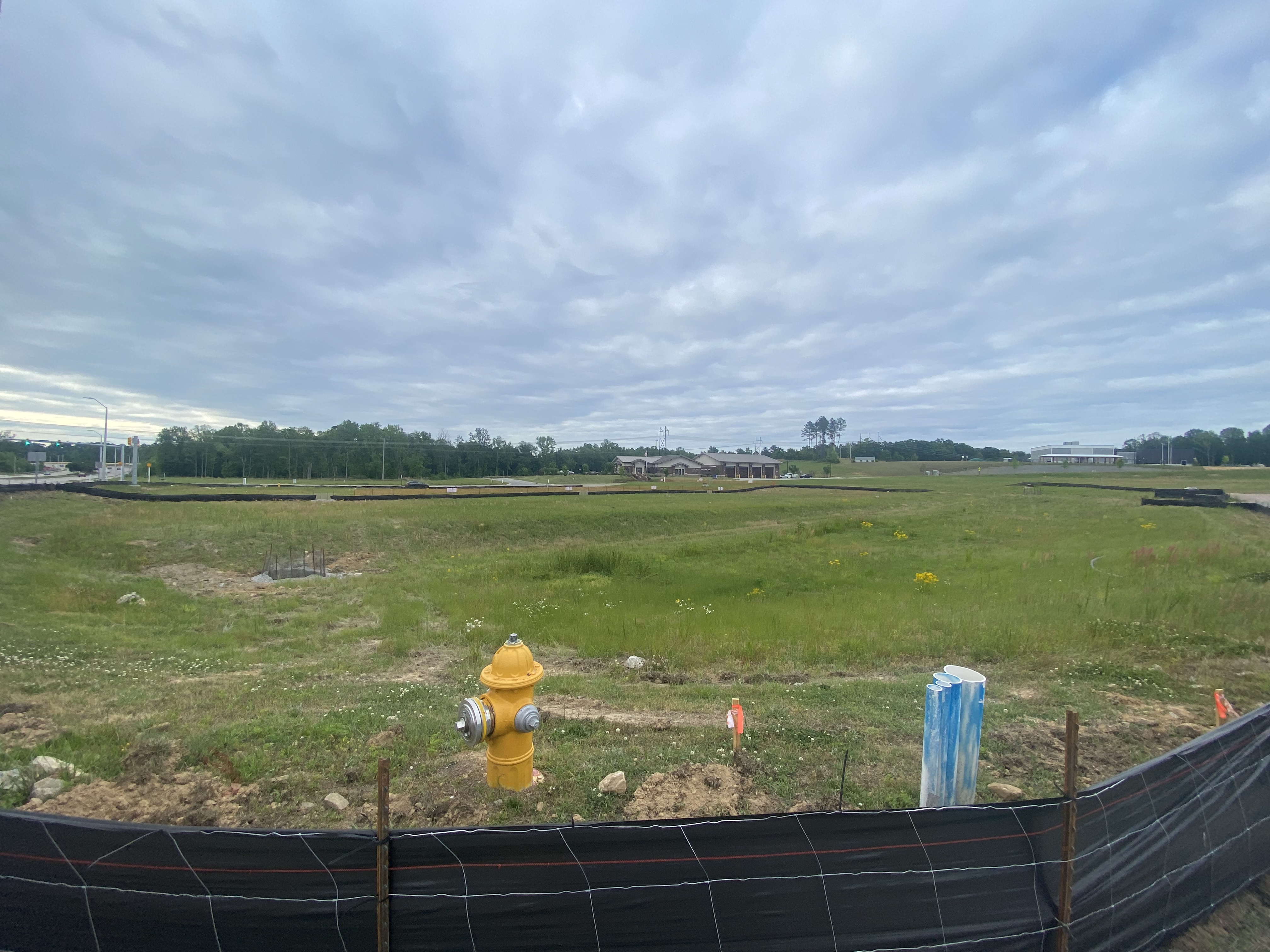
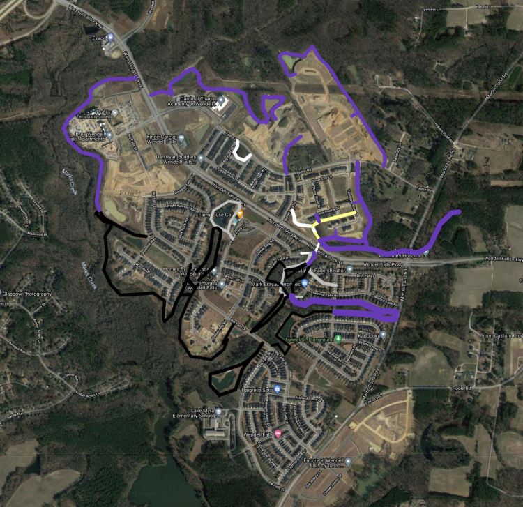
The Collective
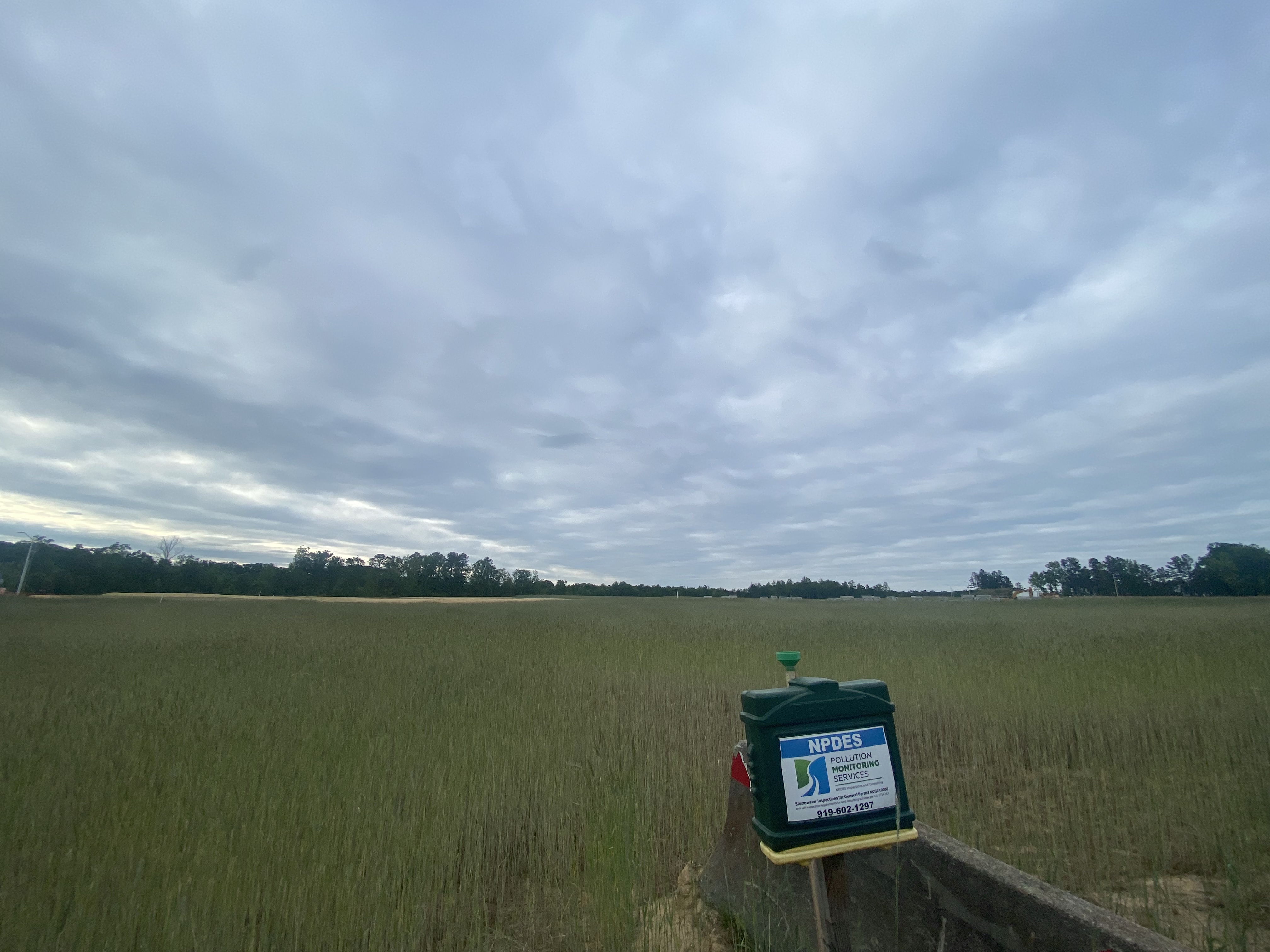
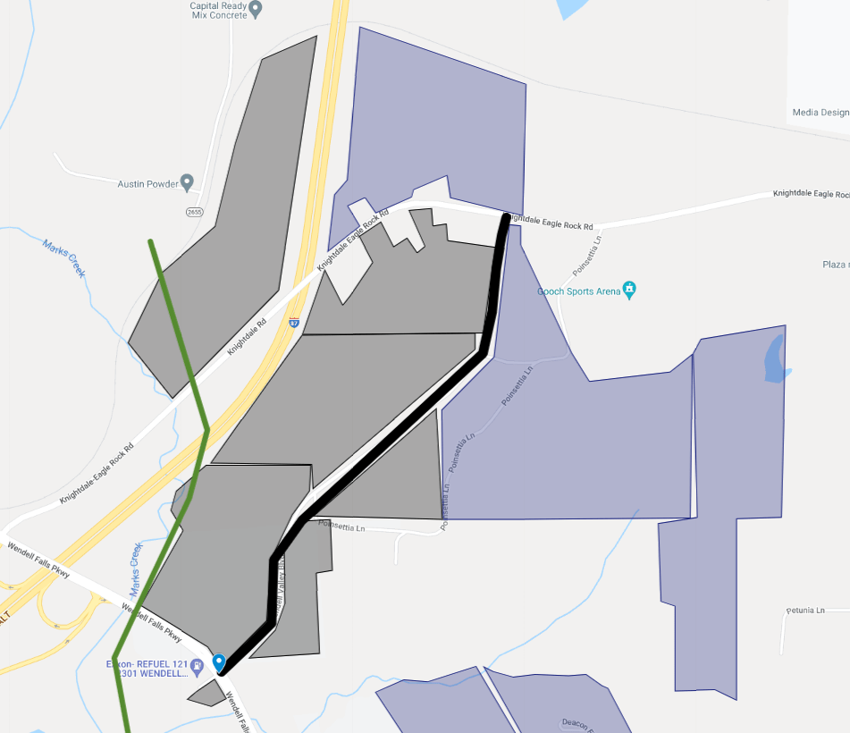
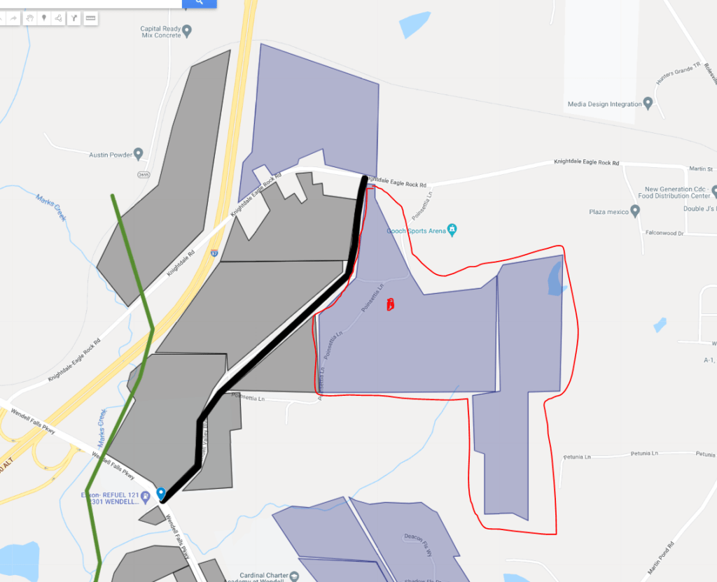
Clearing is complete all the way back to Knightdale-Eagle Rock Road. Crews are now implementing the site infrastructure. Still no tenants announced except for Wake Med and the Residential phases (and extra pool!). Latest official correspondence about the site is still an office park and mixed-use district which could include apartments, large scale shopping, dining, and entertainment. https://www.wendellfalls.com/whats-happening/blog/posts-by-date/2022/march/whats-new-at-wendell-falls/
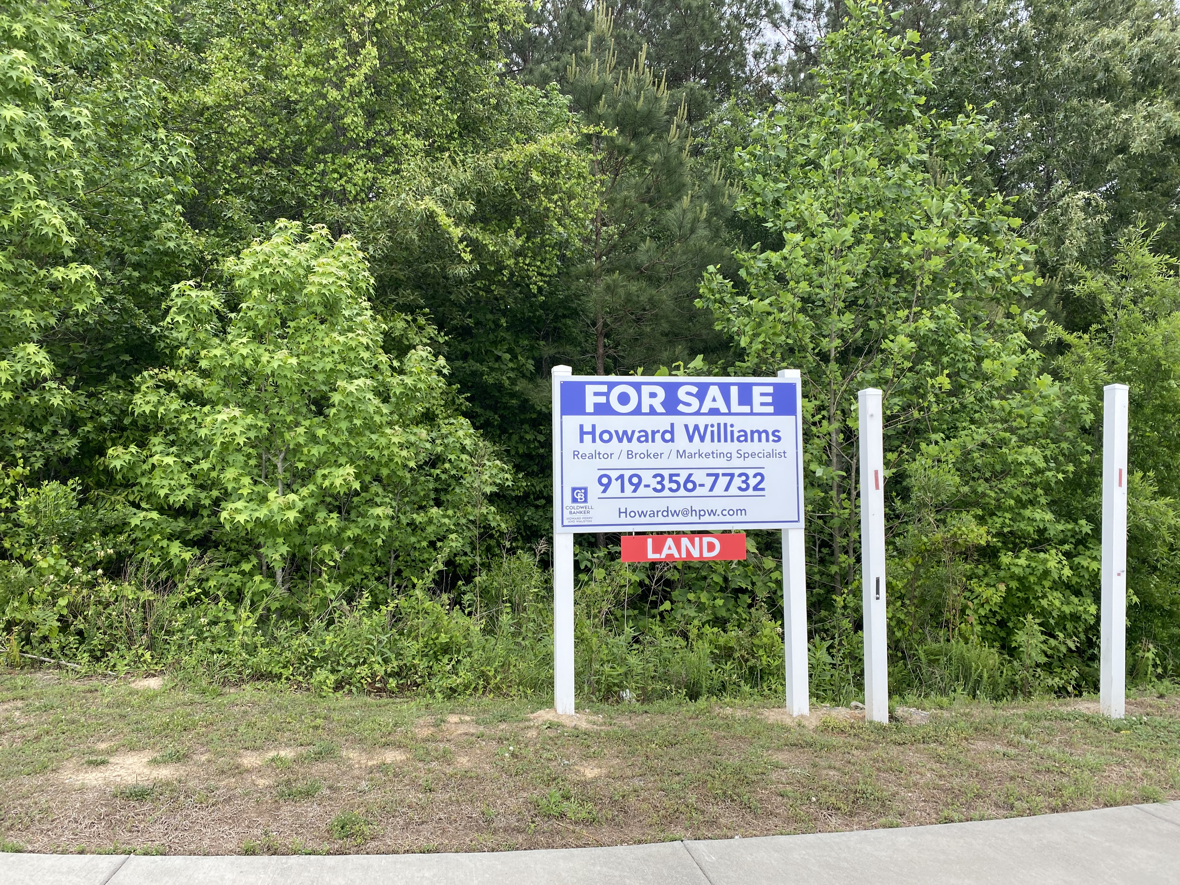
There is also an 8 acre parcel separate from Wendell Falls on the corner of Wendell Falls Pkwy and Wendell Valley Blvd for sale.

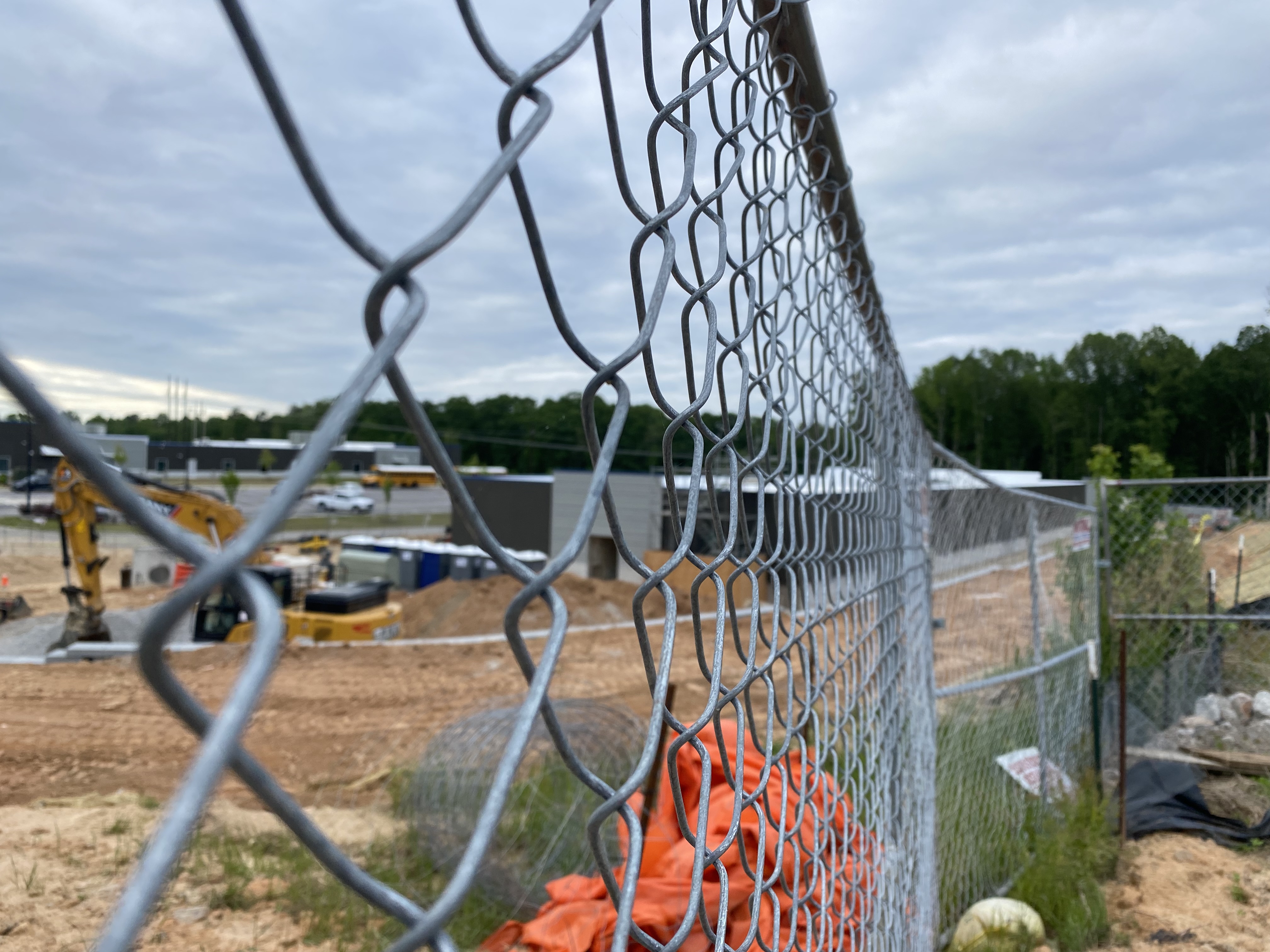
Cardinal Charter Middle School
Construction is moving swiftly.
Neuse River Vet Expansion
Clearing is underway and construction will follow.

Martin Pond Apartments
Clearing appears to be complete and now grading and infrastructure work is underway. We could see physical construction soon.

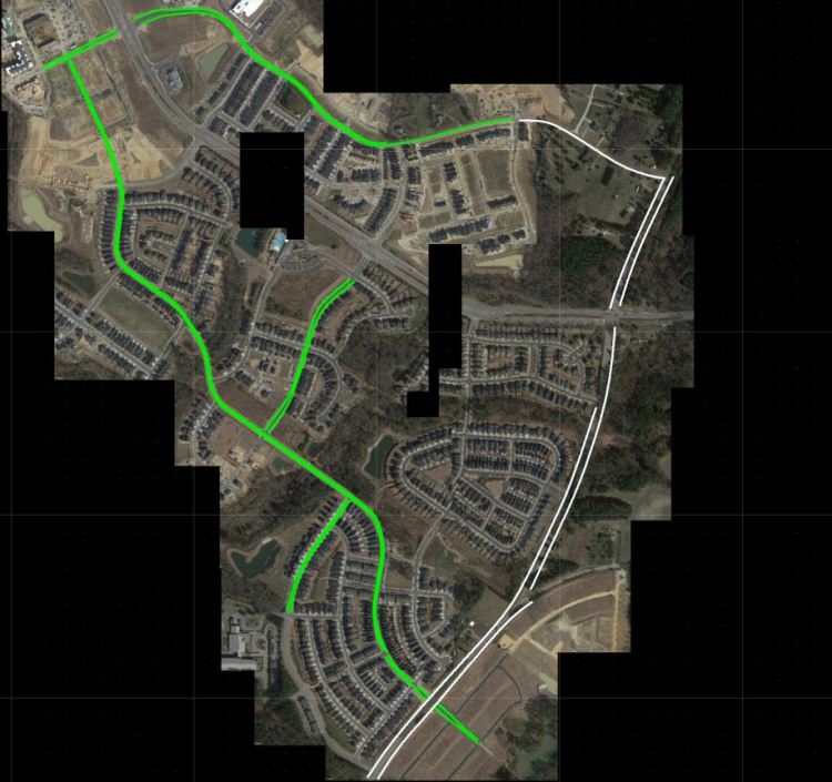
Trails
Nature Trails, LLC has revamped the trail system. According to the map installed at the Farmhouse, all that was planned has been finished. Hopefully we see some inclusion onto the new side of Wendell Falls next go around.

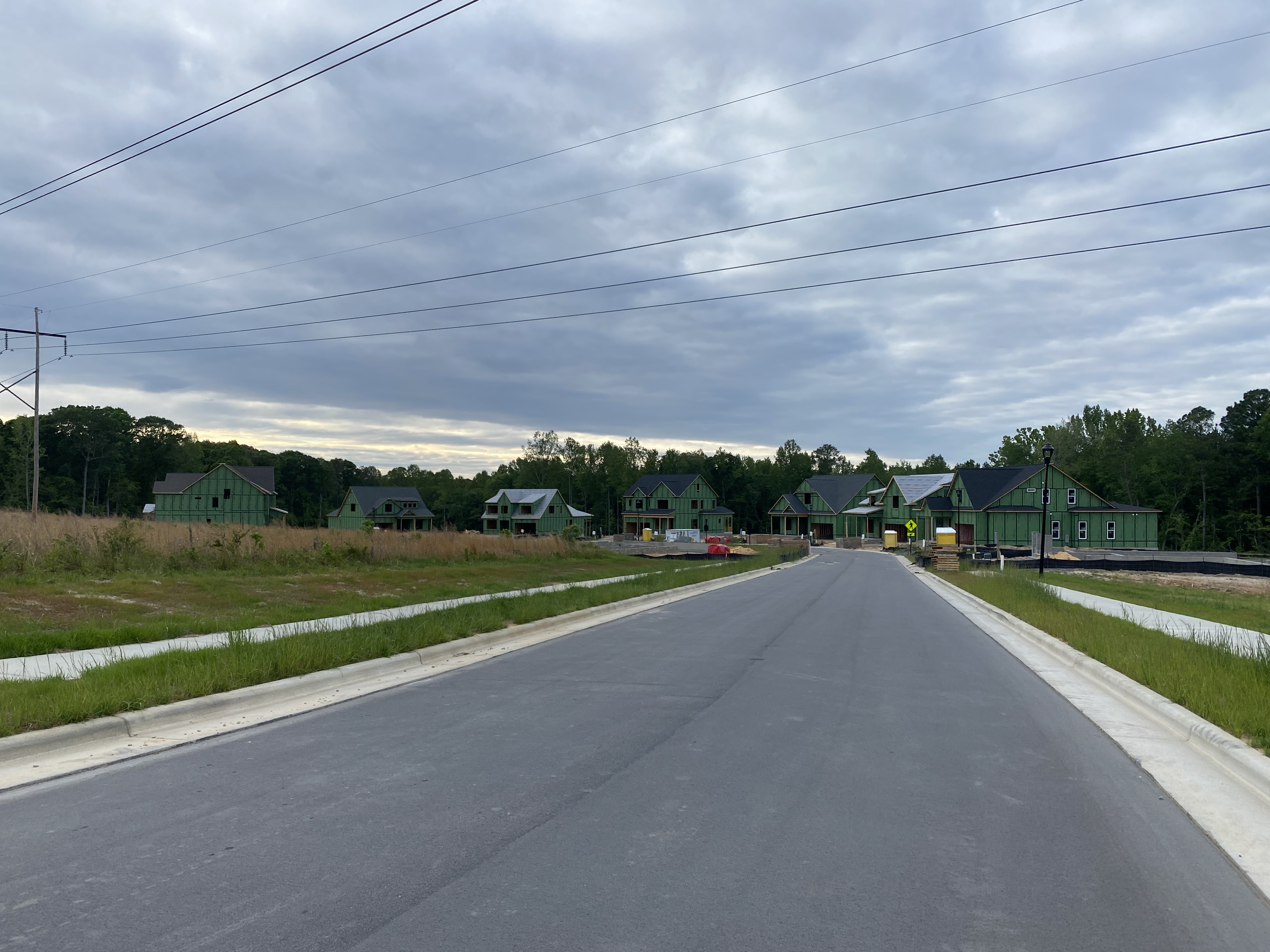
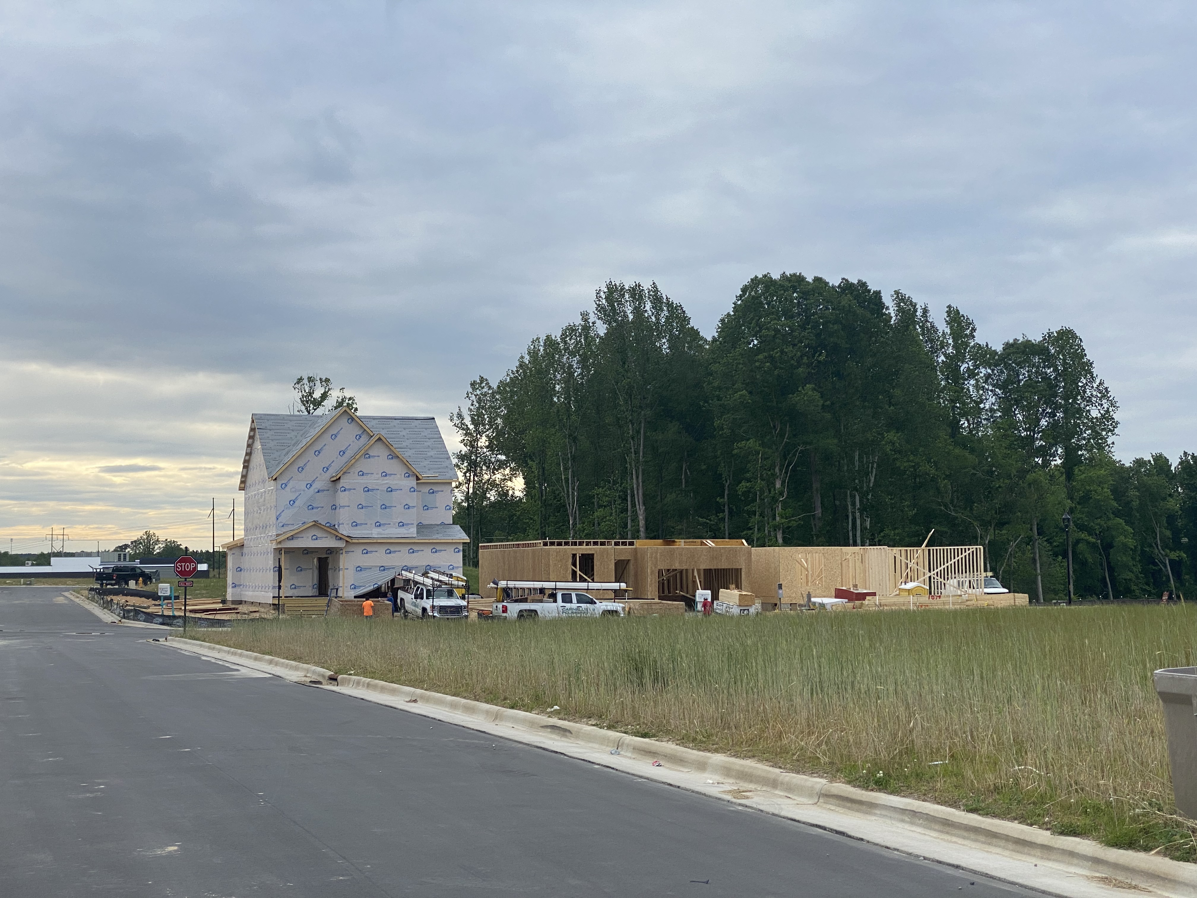
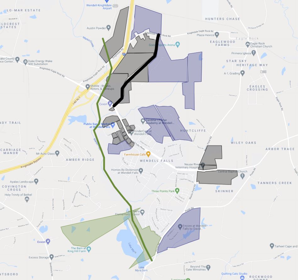
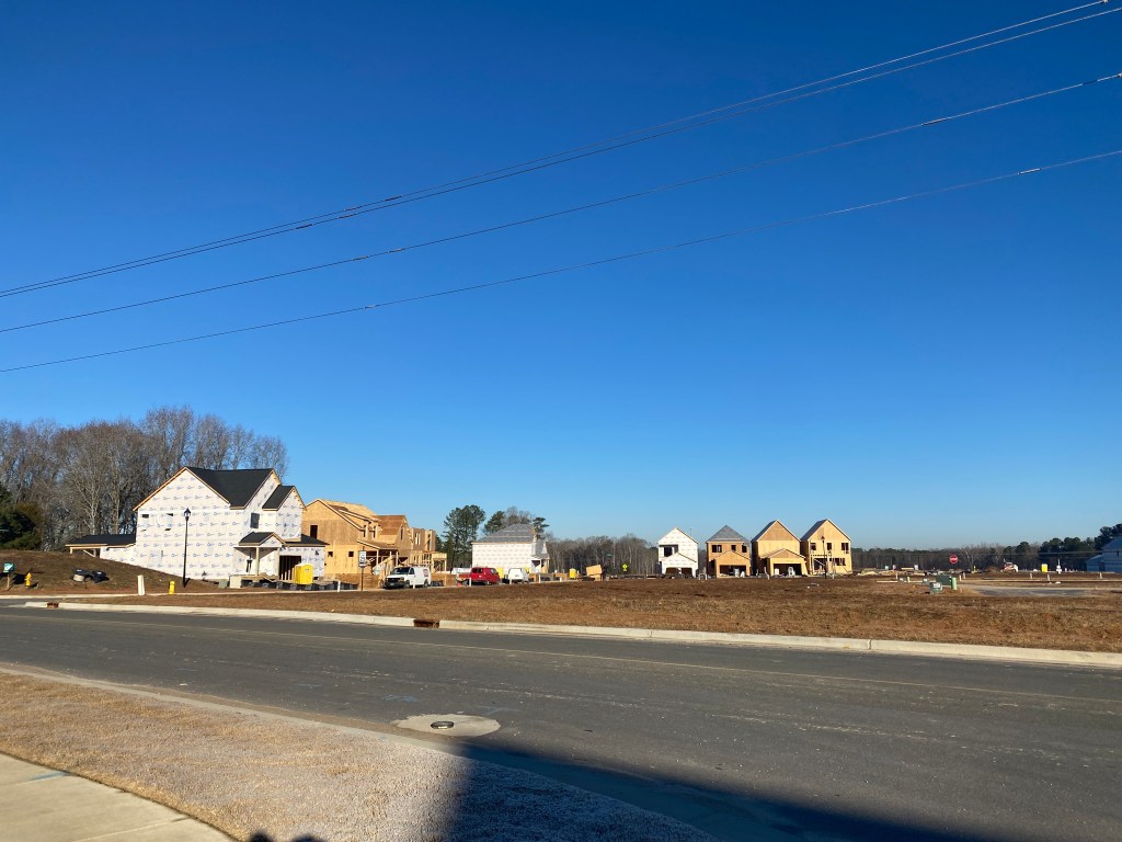
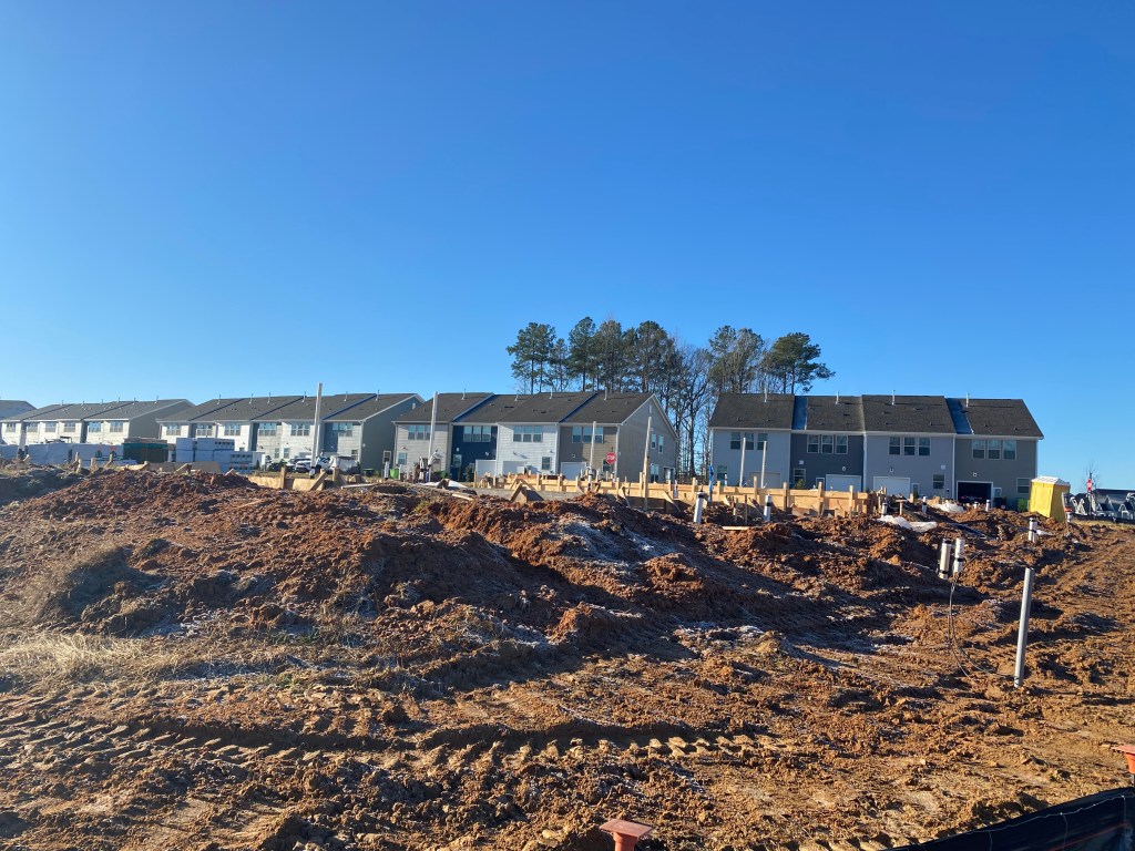
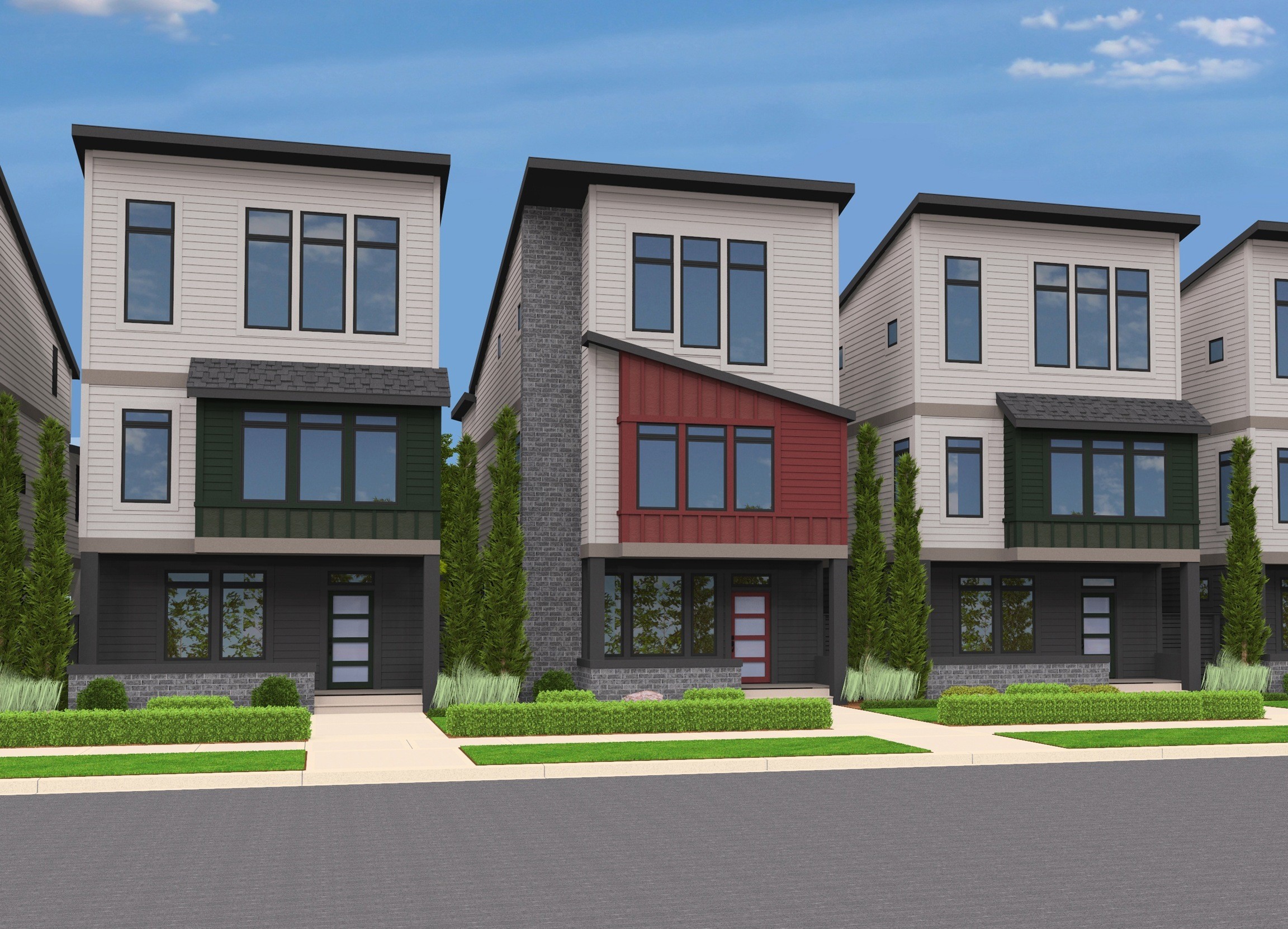
Residential Phases
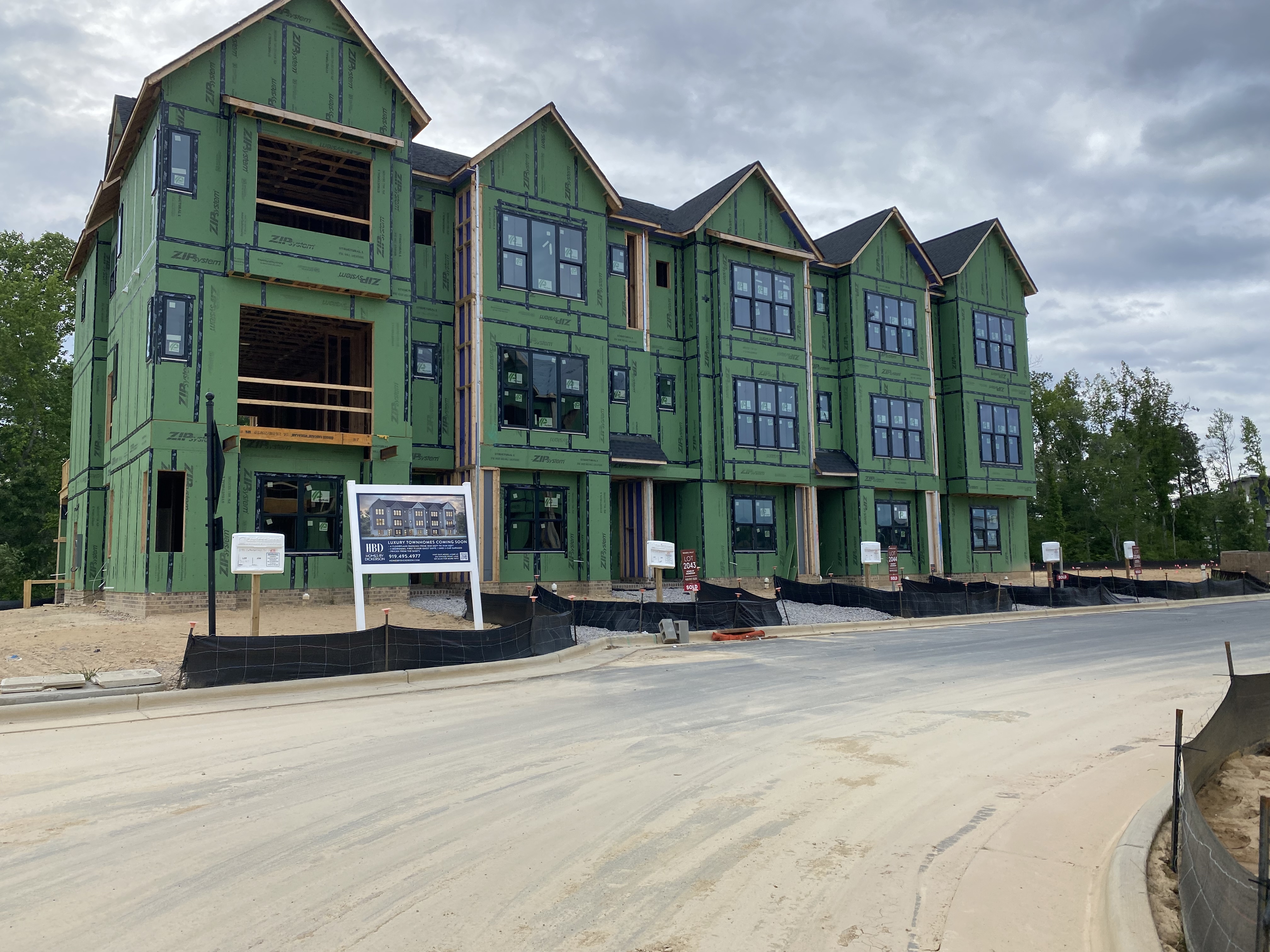
Work is in full swing on Phases 9 and 12 with Homes by Dickerson wrapping up various other lots within the neighborhood.
Phase 9A appears to be wrapping up the very first houses with nearly 100 others under construction.

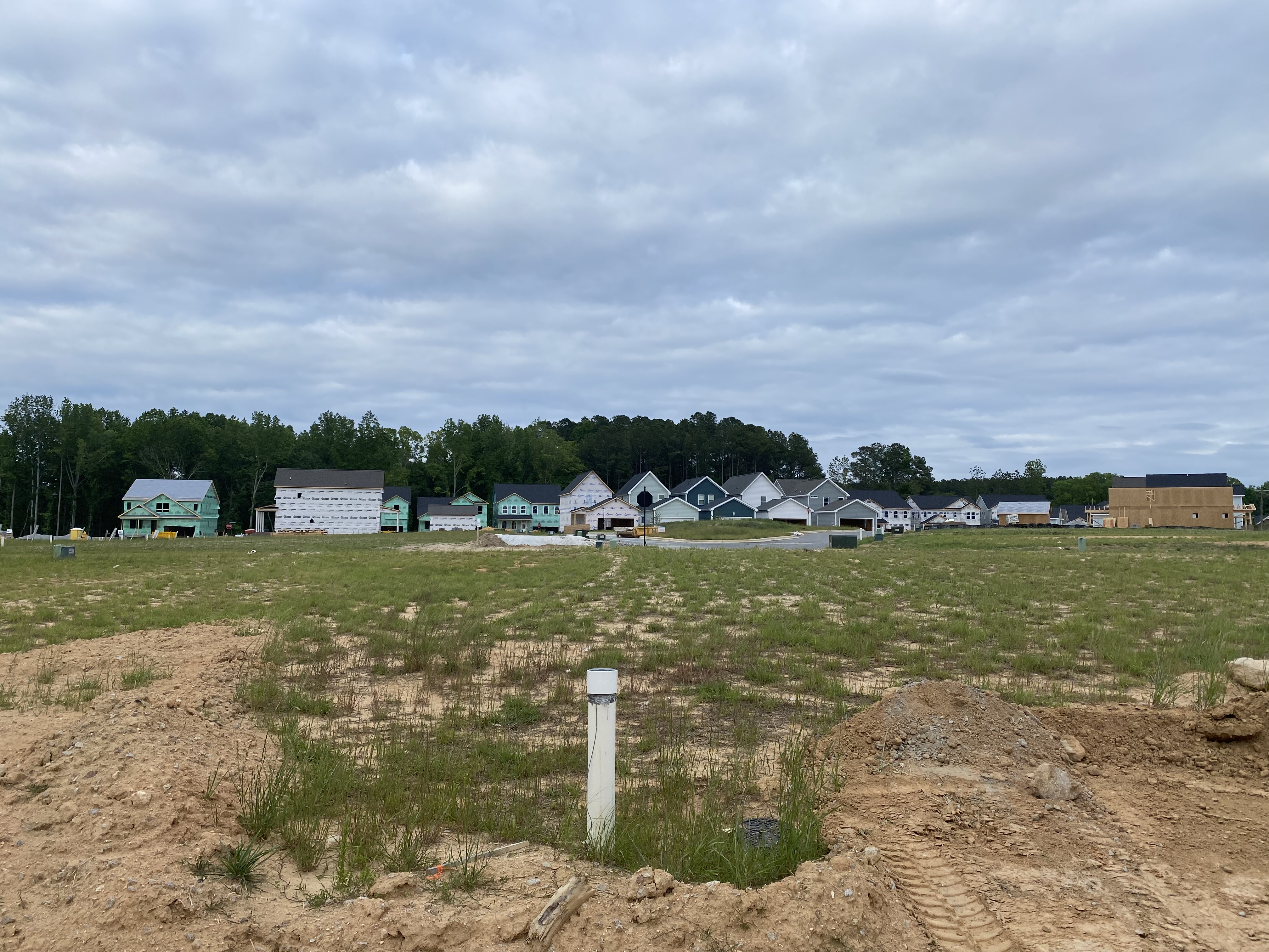
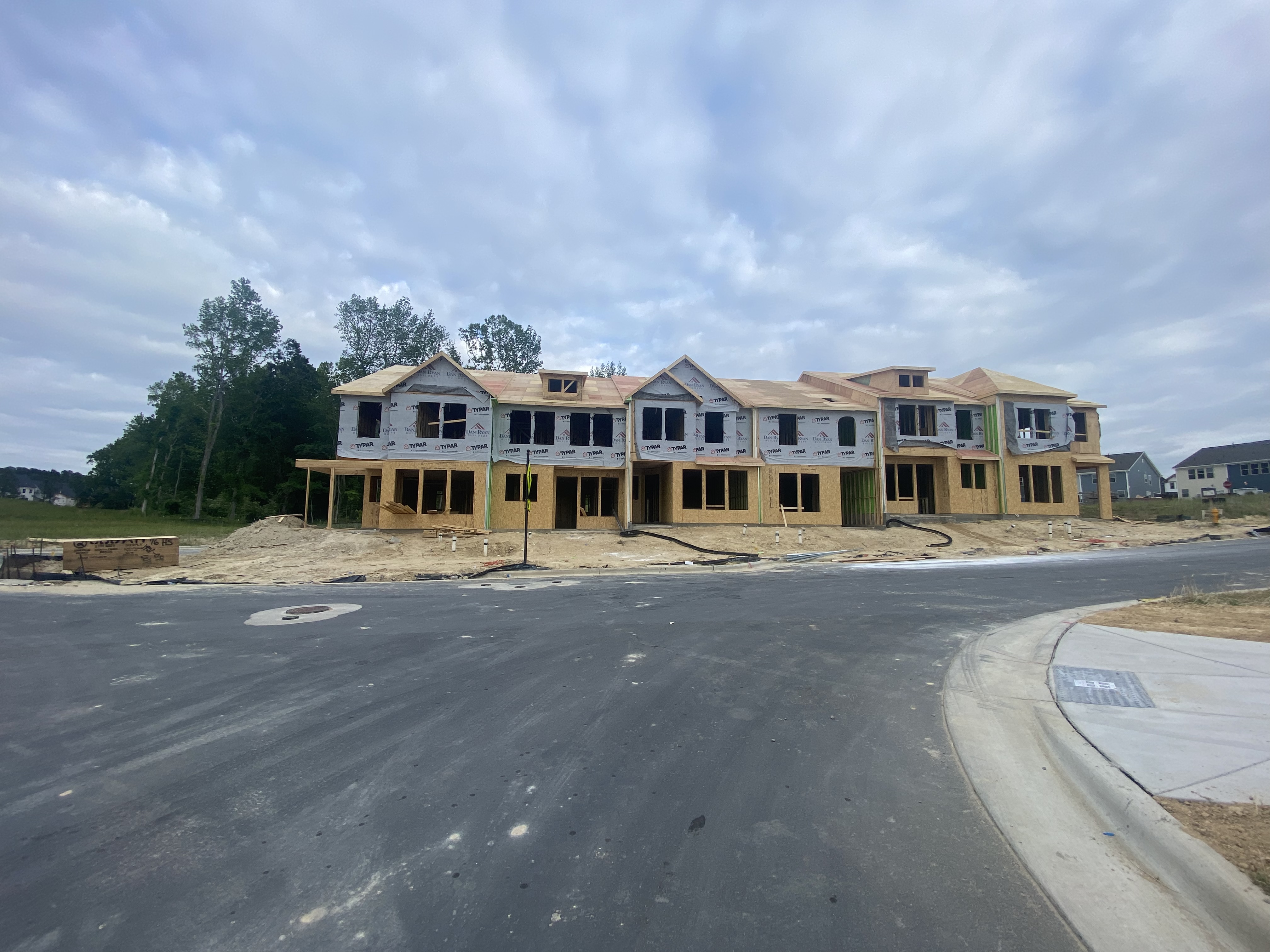
Phase 9B is starting to get going with Dan Ryan Townhomes and Garman Single Family.
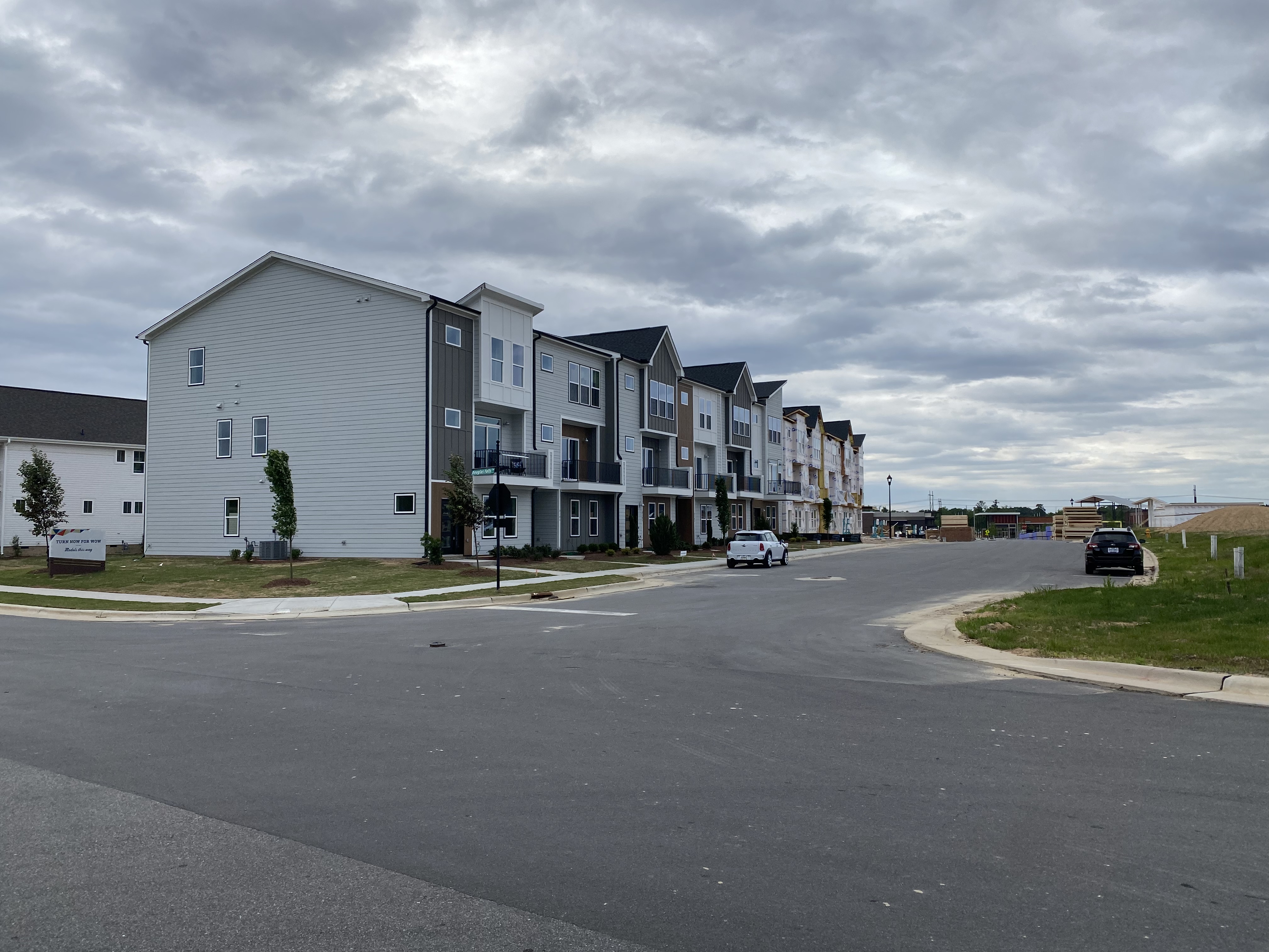
Phase 12 has seen the first homes and townhomes complete with many other under construction.
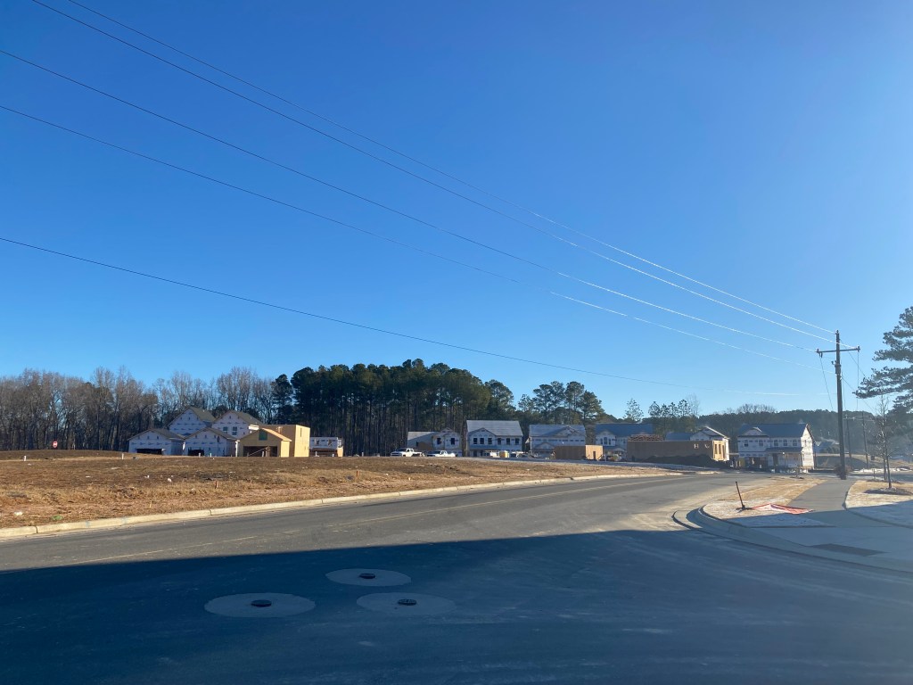
Phases 10 and 11 are part of The Collective and are currently being graded. This is down Wendell Valley Blvd and where the new pool will be located.
So much is going on in our great neighborhood right now! We’re on the cusp of many commercial openings which will usher in a new live-work-play lifestyle for us to enjoy. Fingers crossed for some big announcements for Treelight Square Phase 2 and The Collective soon!


