Featured

Accessing Downtown Raleigh Part 1: I-87 – New Bern Connector

Access from Eastern Wake County to Downtown Raleigh is lacking. The addition of a 1 mile connector arterial from the current interchange of I-87 and I-440 to New Bern Ave could go a long way in connecting the East.

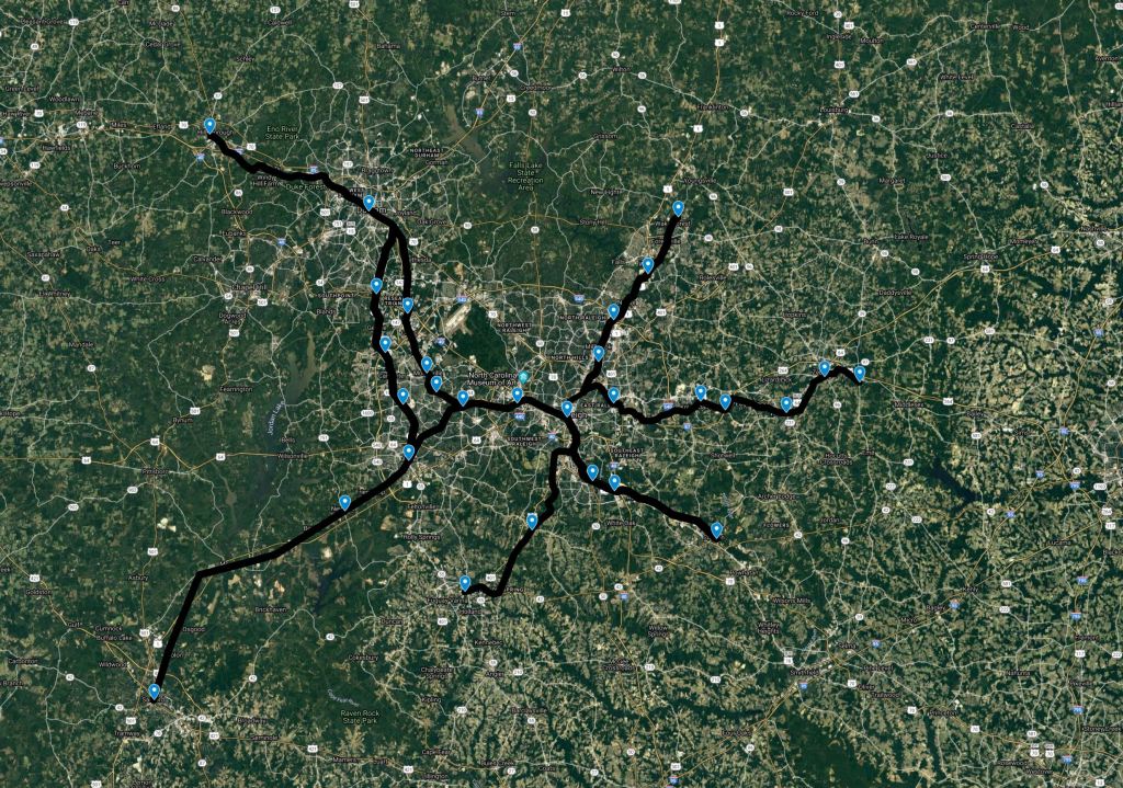
Raleigh sits roughly 30 miles in between I-85 and I-95, two key North-South Interstate corridors. I-40 also snakes through the region as it begins it’s journey from the NC Coast over to California. Sitting between these major corridors but not directly on them, gives the city the access it needs but also keeps traffic volumes relatively low.

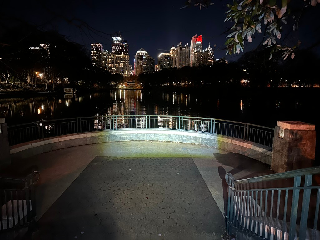
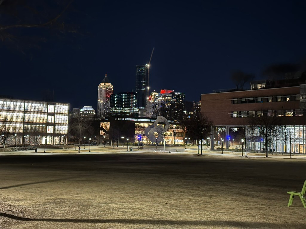
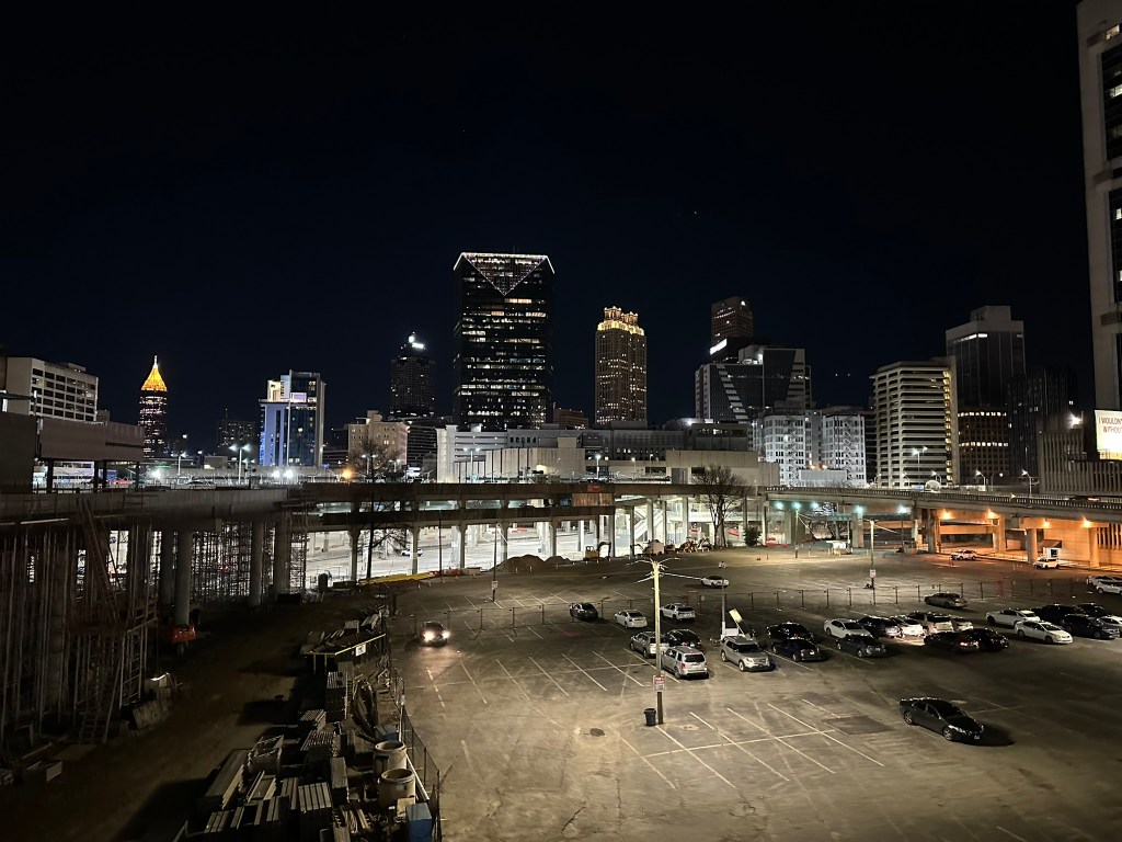
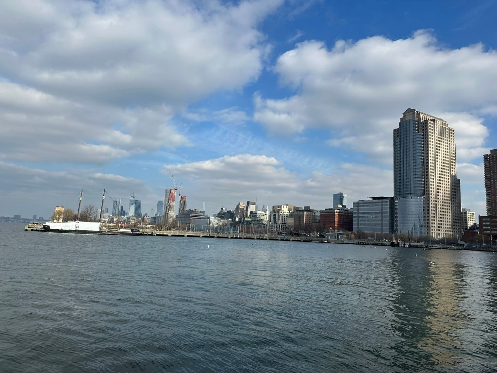
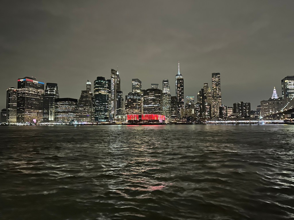
Closer to town, Raleigh is encircled by a roughly 25 mile “Beltline”. About two thirds of the Beltline is I-440. The other third is I-40. The closest the Beltline gets to downtown is roughly a mile to the South and 3 miles to the North. There are currently no limited access facilities inside of the Beltline.

Downtown Raleigh from I-40 at Wilmington St (GOOGLE)

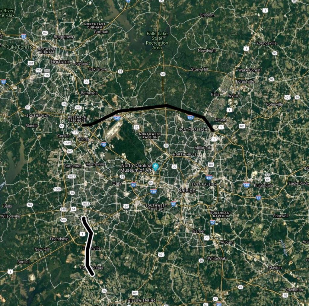
I-540 / NC 540 TOLL is the outer Beltline which when completed will be a 70 mile Perimeter around Raleigh. Currently around 45 miles are complete. Another 15 miles are under construction with the completion of the final section scheduled for 2029.

Access to I-95 is provided to the East by I-87 / US 64 (Future I-87), US 264 (Future I-587), US 70 (Future I-42), and I-40. Access to I-85 is provided by I-40 and the Durham Freeway NC 147 (Future I-885).

Raleigh Area Limited Access Facilities

Roads shown above in light grey are future limited access facilities that are either unbuilt or planned conversions. They include the East End Connector (Durham, I-885), US-70 in Durham, and US 1 in North Raleigh. There are currently no plans to upgrade any facilities within the Beltline.

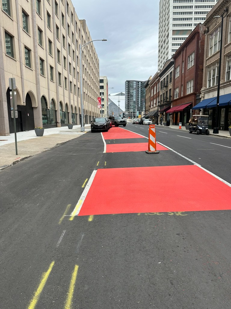
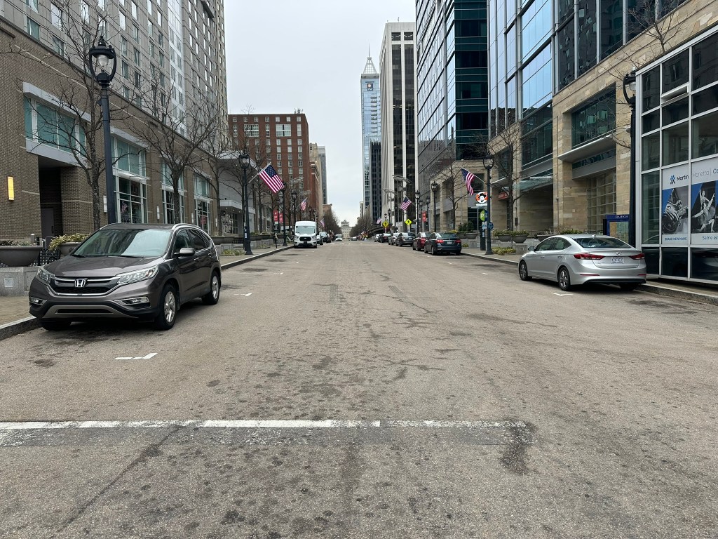
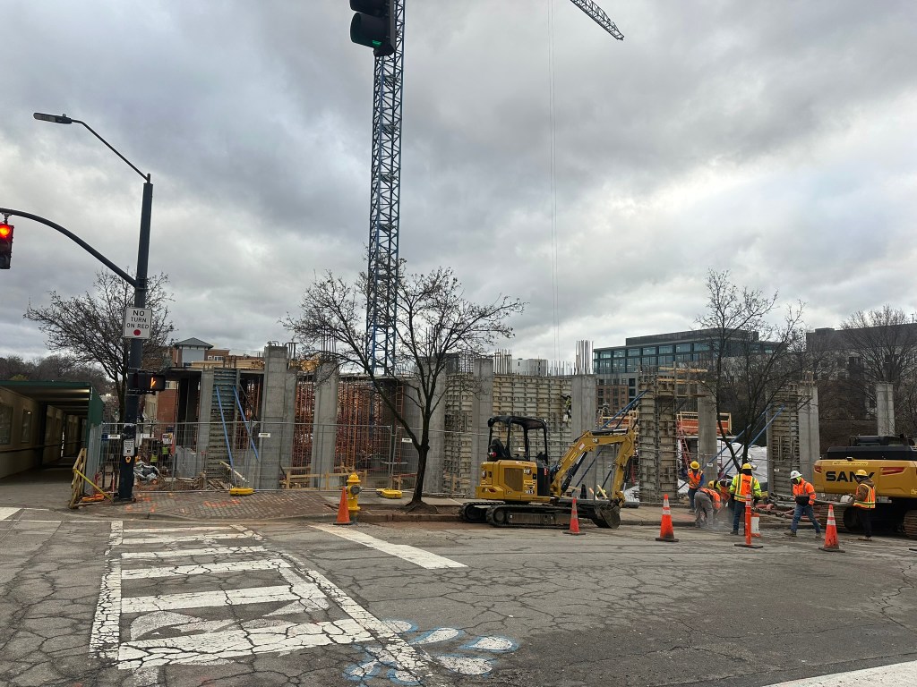
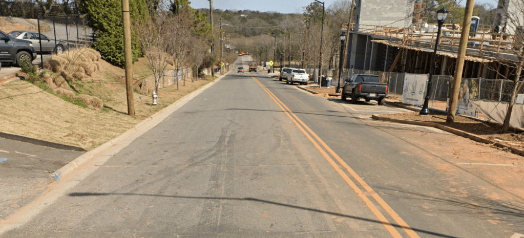
As I mentioned, there are no limited access facilities within the Beltline, which can cause some difficulties accessing downtown. The major routes to and from I-440 / I-40 to Downtown are: Wade Ave, Glenwood Ave / US 70, Capital Blvd / US 1, New Bern Ave, Hammond Rd, and S Saunders St / US 70 / US 401.

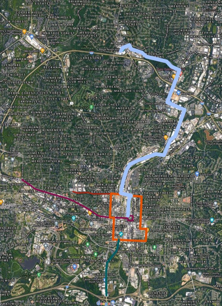
As you approach the Raleigh area on I-87 Southbound, you catch a couple of skyline glimpses as you pass I-540 in Knightdale. I-87 was constructed in the early 2000s as a reliever for New Bern Ave as it goes through Knightdale. It has quickly turned into a primary route to and from I-95 and the Northeast carrying close to 100,000 vehciles per day.

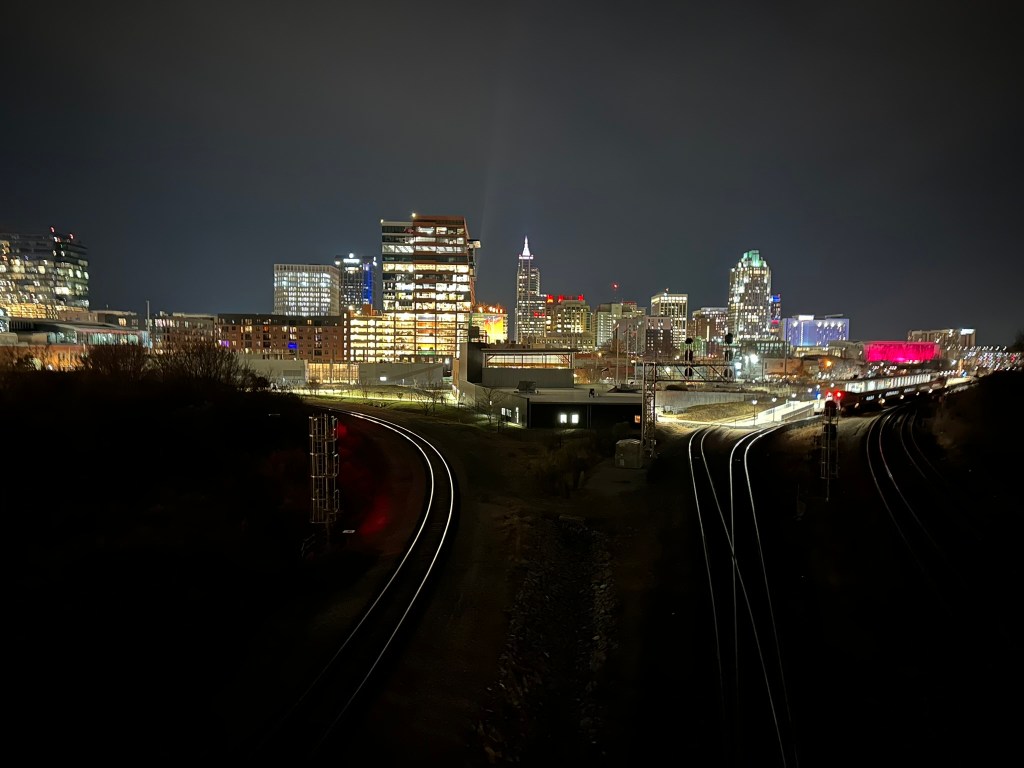
As you travel on I-87, it may appear that you are heading for a collision course with Downtown. But as you approach the Beltline you’re left with two choices. I-440 East which is signed for Wake Forest. Or I-440 West which is signed for Durham and Benson. Where’d Raleigh go?! Which way is best to Downtown?!

I-87 at I-440 (GOOGLE)

If you’re using GPS, you’ll likely be presented with three routes: I-440 West to Capital Blvd, I-40 West to S Saunders St, and New Bern Ave. Under typical conditions, all three routes take 11 minutes from the I-87 / I-440 Interchange to the Statehouse Square in Downtown Raleigh. I’m not sure what factors went into Google Maps algorithm, but I-440 West to Capital Blvd is the preferred route. For what it’s worth, that is also my route of choice.

Choices to Downtown (GOOGLE)

As seen above, there is a clear hitch in any route you may choose to take although I-87 appears to be heading straight toward New Bern Ave and Downtown Raleigh. This can lead to driver confusion, as well as wasted time and emissions.

Looking at the Typical Traffic Heat map from Google during morning rush hour, there are some delays heading South on I-87 and West on I-440 as people head toward Downtown, North Hill, and RTP.

Typical Traffic at 8 AM Wednesday (GOOGLE)

As many companies eventually ease back into offices as well as the explosive growth Eastern Wake County, Downtown Raleigh, and North Hills are experiencing, this corridor will become increasingly congested.

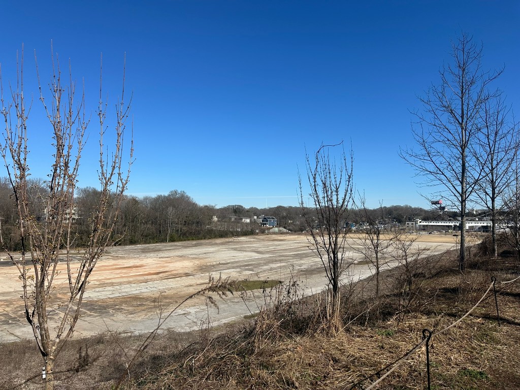
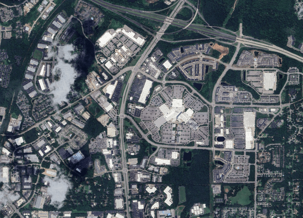
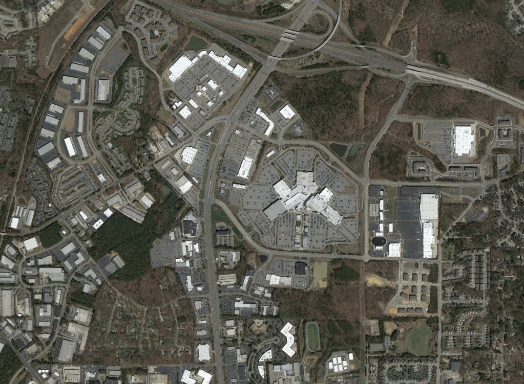
In addition to the Triangle region as a whole being among the fastest growing in the country – for good reason; Eastern Wake County is the fastest growing section of the triangle. This is due to Eastern Wake being the last area within close range that has significant developable land remaining.

Town of Wendell Development (https://wendell-plan.maps.arcgis.com/apps/webappviewer/index.html?id=c50df66a466a44558b4d5e90132b9d4f)

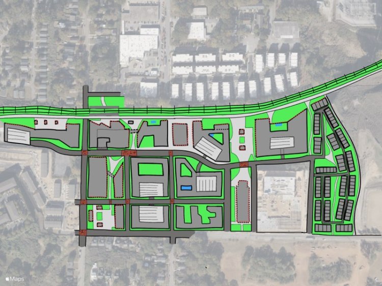
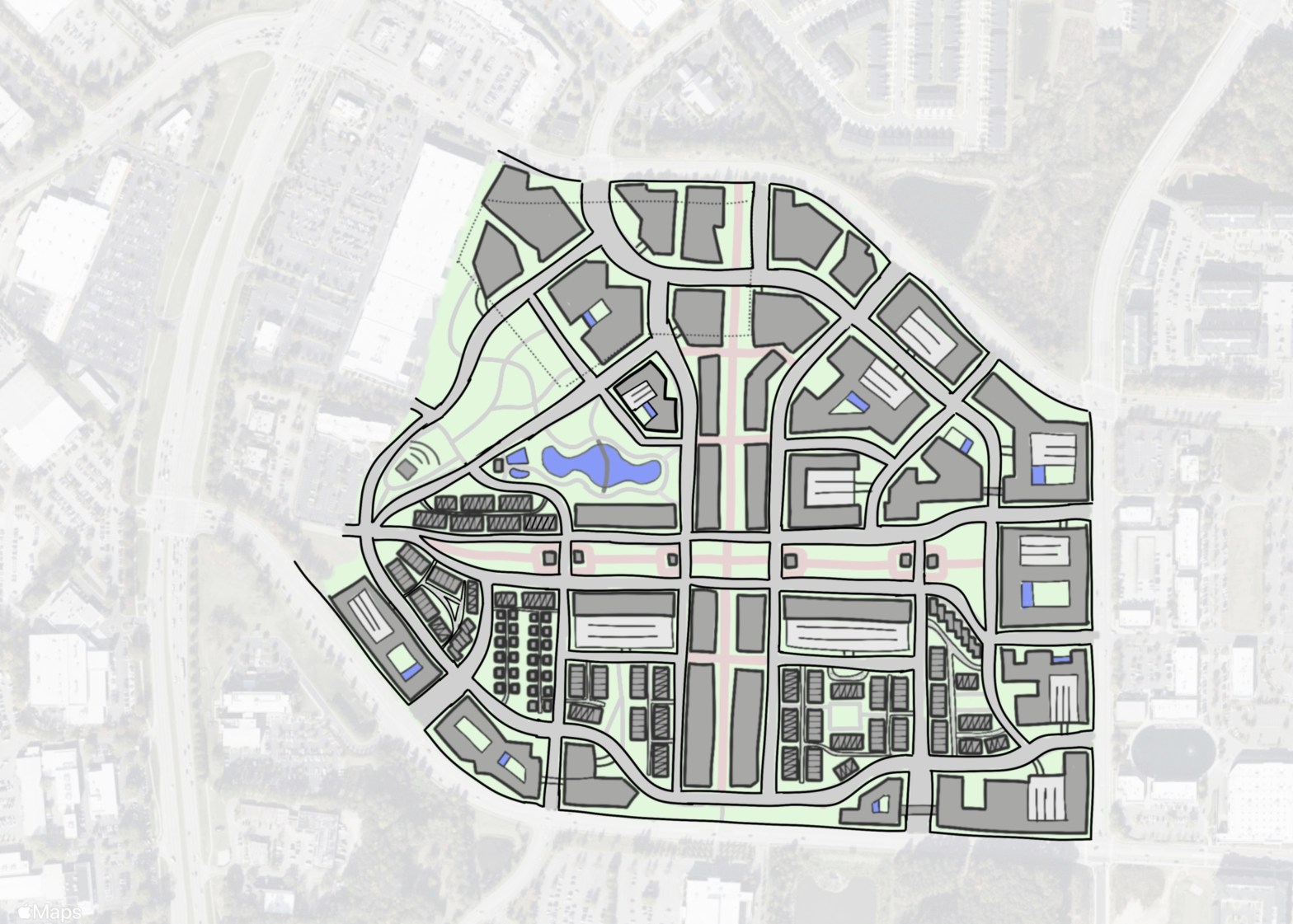
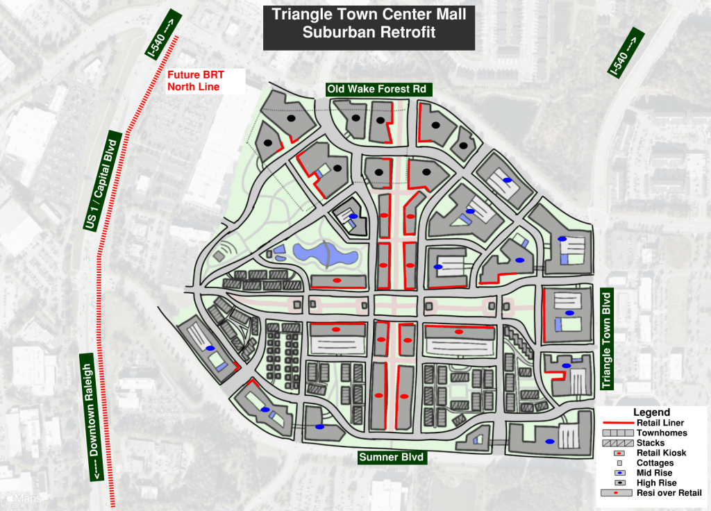
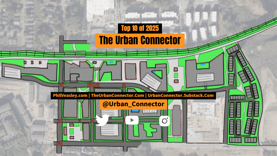
One of the towns in Eastern Wake, Wendell is a prime example of this explosive growth. The map below shows the current and planned developments within the town’s planning limits. Over 5000 residential units, a college, and numerous mixed use developments are on the docket for the town. Adjacent Knightdale and Zebulon are also experiencing similar growth.

The New Bern – I-87 connector would provide a direct route from the Interstate to Downtown Raleigh. It would also serve as a gateway into the city while also helping to drive development along a prime BRT corridor. An interactive map of the proposed route is at the link below.

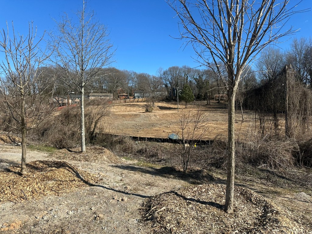
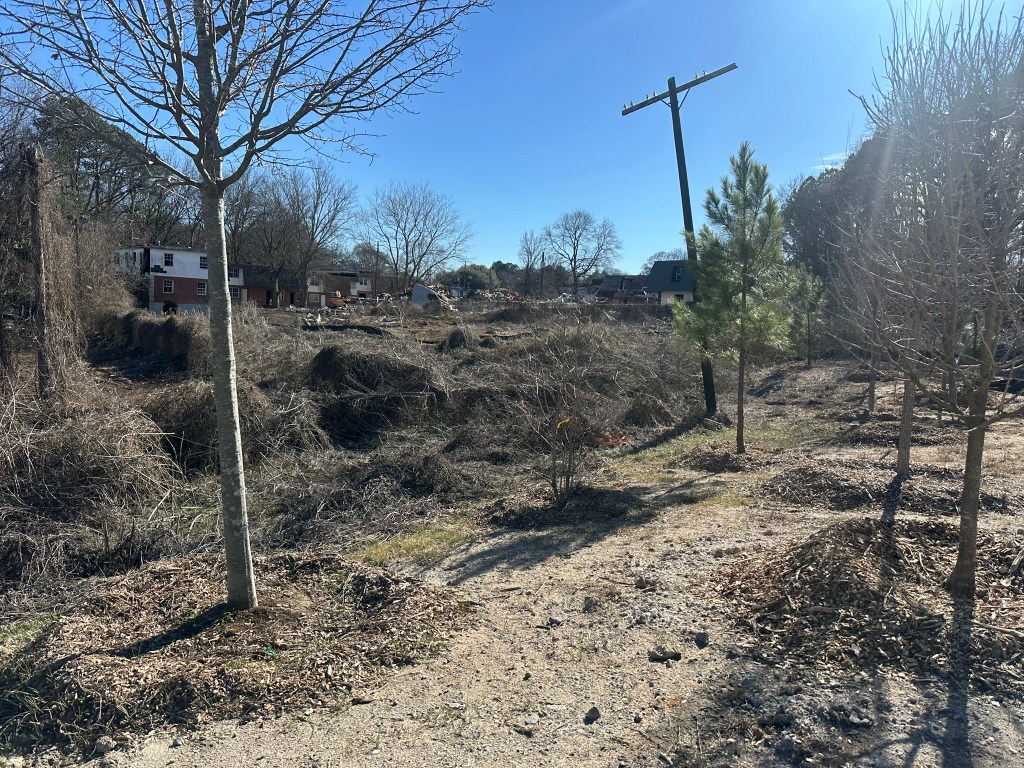
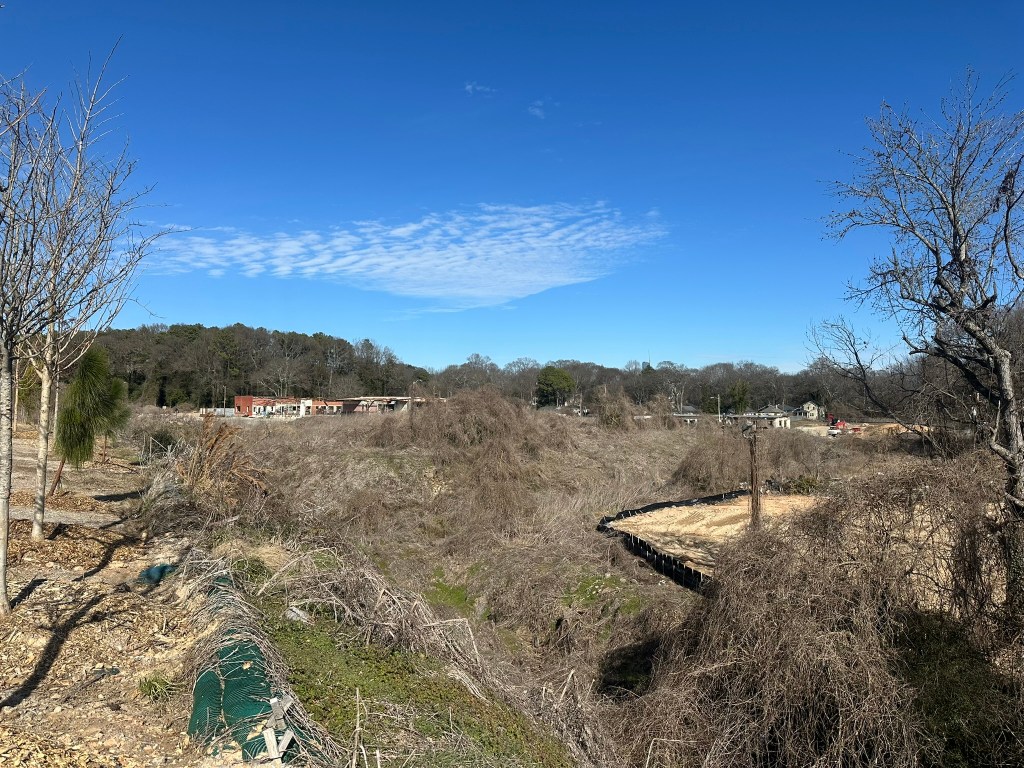
Despite being a new route, only limited ROW impacts would be seen. There are a couple of existing roads that could be utilized, as well as sneaking between a few medical buildings of the Wake Med complex.

Section 1

Section 1 shows the tie-in to I-87 as well as the addition of ramps at the I-440 interchange. The existing flyover bridges should be maintained and the Connector should be routed to go under existing bridges wherever possible to ensure cost and constructability remains feasible.

Section 2

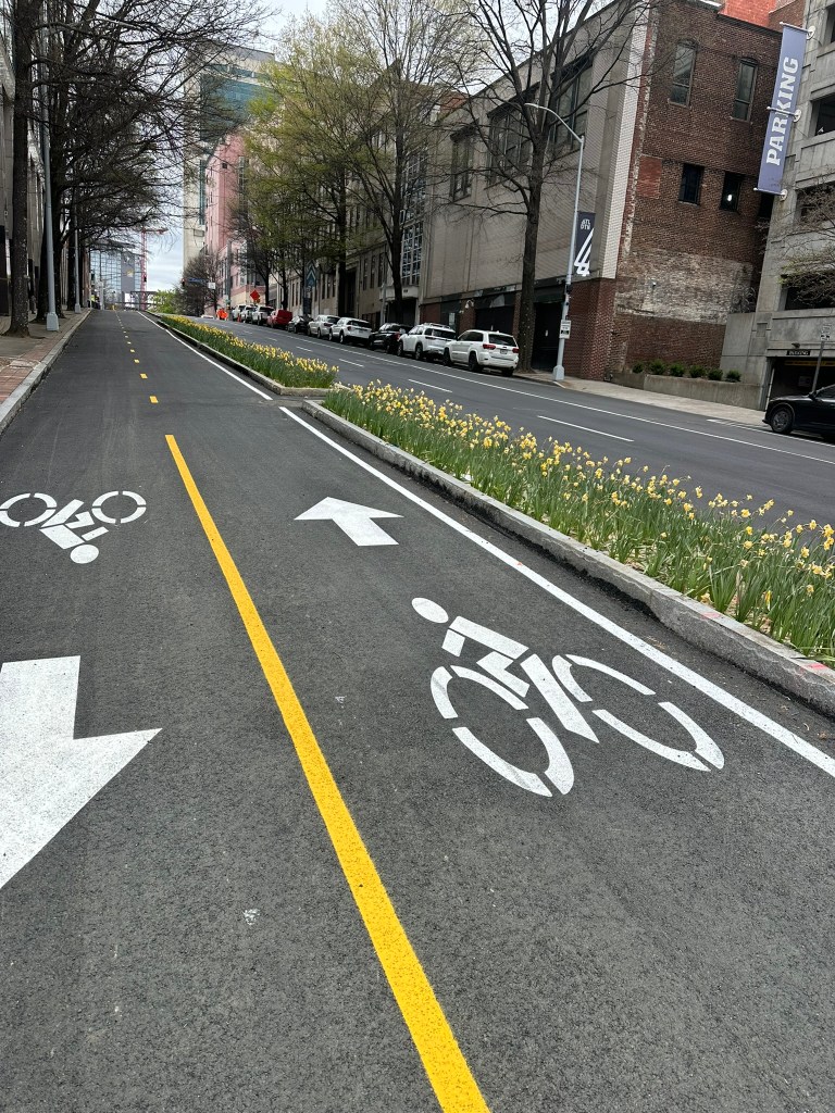
As the Connector moves away from the interchange it will transition into a complete street corridor with street trees, median plantings and a multi-use trail. The trail would be a direct connection from the Crabtree Creek Trail providing more direct bike access from the Neuse River Trail to Downtown Raleigh. A few Right-In-Right-Out driveways are provided for access to some commercial facilities.

Section 3

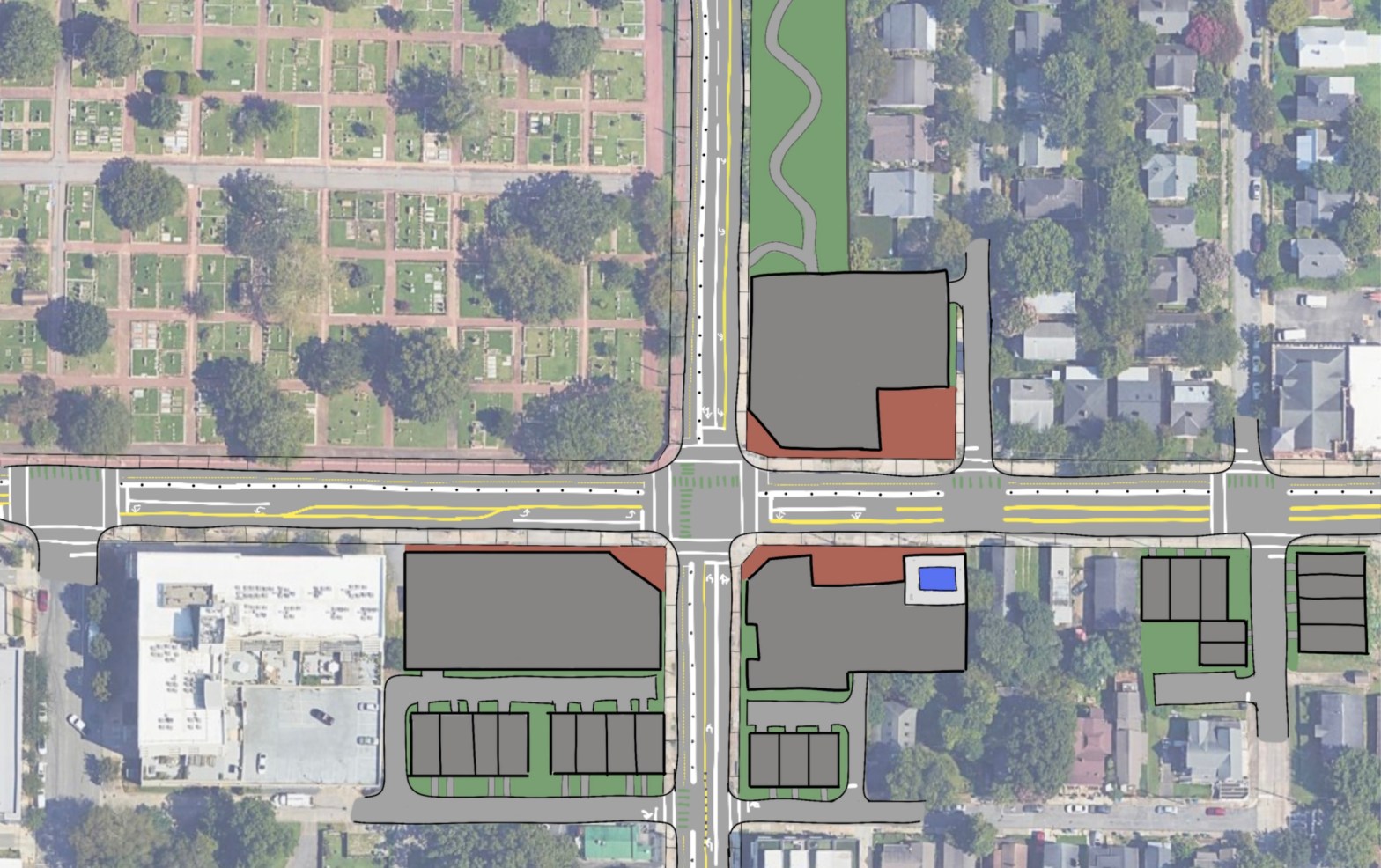
Section three features a Roundabout at the intersection with Sunnybrook Rd. Special design considerations for bikes and pedestrians on the roadside greenway trail should be explored to ensure the highest level of safety is provided. This would also provide a couple of prime corner development opportunities adjacent to the huge WakeMed medical facility. There would also be some more Right-In-Right-Out driveways to ensure a high level of access to all facilities.

Section 4

Section four sees the tie-in to the existing New Bern Ave. This is also where the majority of our ROW impacts would be seen. Due to the proximity of the Roundabout with New Bern and the Connector, a grade separation was chosen to pass Donald Ross Drive.

As mentioned, a BRT line is planned on New Bern Ave from Downtown to East Raleigh. On the Northeast quadrant of the Roundabout, a mixed-use BRT station with Park-and-ride, apartments and retail should be considered.

In total, the New Bern – I-87 Connector would span about 1.5 miles while shaving about a mile off of the existing shortest route that currently exists.

I-87 – New Bern Connector

As Raleigh continues to rapidly grow, we must ensure that connectivity remains our number one priority. While only a mile long, this connector would provide a more reliable, direct route for motorists traveling from Eastern Wake County. It would also connect one of the largest greenways in North Carolina to Downtown, as well as provide opportunity for economic development along the future BRT corridor.

In the coming parts of the series, we’ll explore some more ideas for enhancing the connectivity of Raleigh.

Phil Veasley

Featured

Triangle Transit Plan

My first post explores a world where the Raleigh-Durham area has a comprehensive Transit system. I didn’t include the planned BRT lines since it looks like that is finally getting off the ground. There are also preliminary plans for a Commuter Rail line stretching from Garner to Durham but that is in the early stages. The CAMPO 2045 (https://www.campo-nc.us/transportation-plan/2045-metropolitan-transportation-plan) plan also calls for a few other lines but they are very far off.

Take a look below at the interactive GoogleMap I created to see in full detail. I’ll also explore each route in detail as we move on.

https://www.google.com/maps/d/embed?mid=1dGsebX5ZyKvlZKWzD1vzKBzIr6xROgDa

Commuter Rail

Commuter Rail with example station locations

Clayton to Hillsborough line

This is the most high profile line, and is already in the planning stages for the most part. My plan would have stops in Clayton, White Oak Plaza, Garner, RUS (Downtown Raleigh), NCState, Fairgrounds / Stadium, Cary, Park West Village, Morrisville, RTP, Ellis Point, Downtown Durham, Duke, and Hillsborough.

Potential expansion westward to Greensboro or connection to Amtrak and Eastward to Smithfield / Selma with less frequent service should be explored.

Raleigh to Wake Forest

The “North” line would service RUS, New Hope, Triangle Town Center, Southern Wake Forest and Wake Forest. Potential expansion to Franklinton and Henderson with less frequent service should be explored.

Raleigh to Fuquay-Varina

The “South” line would service RUS, Ten-Ten, and Fuquay-Varina. Further service on a less frequent basis should be explored to Fayetteville.

Raleigh to Sanford

The line stretching to the Southwest would service RUS, Cary, Apex, Veridea, New Hill and Sanford.

Raleigh to Zebulon

I’m a bit bias toward this one. The “East” line would service RUS, WakeMed, Knightdale, Wendell Falls, Wendell, Zebulon, and Five County Stadium. Less frequent service to Wilson and Greenville should be explored.

Durham to Apex

While this is the only line that doesn’t service Downtown Raleigh it still captures two important commute patterns in Durham to Apex and RTP to Apex.

New Rail Lines

These two lines would probably be nearly impossible to implement, but based on commute and development, patterns would display huge benefit.

New Rail Lines

The first line stretches from RTP to Triangle Town Center along I-540 which was one of the most congested corridors pre-COVID. The second extends the Durham-Apex line through Holly Springs, which is a rapidly growing suburb with a lack of highway access.

Though these lines sport the name “Commuter Rail”, I’d ideally like for the trains to operate during off-peak hours and on the weekends. This would allow for leisure travel to games, events etc as if they were Subway lines. To maximize the impact of the rail lines, dense Transit Oriented Developments should be proposed adjacent to stations.

StreetCar System

Raleigh Streetcar System

Maybe not in Atlanta (yet), but streetcars seem like a great alternative to full blown light rail and heavy rail.

My idea would provide fair coverage to Downtown Raleigh with lines encircling, and branching out from the urban core.

The Orange line would be a one-way circulator along the periphery of Downtown.

The Green Line stretches from Downtown to the upcoming Downtown South development, and Soccer Stadium.

The Pink Line would service NC State along Hillsborough Street.

The Red line would service the Village District and Peace Street Corridor.

The Blue line would service Downtown, Midtown and North Hills in what will hopefully become a seamless urban corridor such as Peachtree St from Buckhead to Downtown in Atlanta. Ideally, the route would remain off of Capital Blvd which should be a limited-access facility north of Downtown by the way, and utilize the planned West St extension or my planned Wake Forest Rd extension (plan coming next week to the site).

Over in the booming downtown of Durham, a StreetCar system linking NCCU, Downtown, Duke could go a long way to the continued renaissance that city is seeing. While we’re talking about Downtown Durham – I can’t wait for the Durham Beltline to be constructed.

Durham StreetCar System

To maximize ridership, and minizine hassle and cars in our Downtowns, fares should be kept to $1 and all-day, weekend, and student passes should be explored.

Comments, suggestions? Let me know in the comments section below. I’d love to chat with you all. My hope is to publish a plan weekly (maybe more, probably less). Some of my upcoming plans are: I-87-New Bern Connector, Raleigh Union Station Park, Downtown Northern Connectivity, Downtown Southern Connectivity, Durham Freeway Conversion and more. Elsewhere on the site I also plan to publish some of my favorite photos of cities, nature, houses, and sports I’ve taken and maybe even some sports blogging. Stay tuned.

Phil Veasley

The Urban Connector Newsletter – April 2026

Article recaps, multimodal rants, Nashville takeaways and more!

The Urban Connector monthly newsletter looks back on the best of the previous month as well as ways to get involved in the coming month. Please make sure you sign up below to have these delivered straight to your inbox and follow on YouTube, Substack, Twitter,  BlueSky Social, and Instagram.

✓ Subscribed

March Content

InPhil Designs: BOULEVARDxMEMORIAL This key intersection halfway between Downtown and the Eastside Trail holds a ton of potential.

Atlanta BeltLine Southeast Trail Progress – We’re down to the final days of waiting for the (official) opening!

Photos of the Month

Urban Thoughts: Too small for an article, too big to miss

Downtown – As we can see in some of the photos above, Downtown Atlanta is really hitting it’s stride. From South Downtown’s makeover, Centennial Yards, MARTA’s A-Line getting red paint, to even the little things like the replanting of flowers in the MLK cycle track, the future is looking bright.

NashvilleI really enjoyed a quick weekend trip to Nashville earlier this month. What stood out to me was the amount and quality of multimodal street infrastructure outside of Broadway, and bus ridership. What impressed me the most however were the neighborhoods just outside of Downtown in what felt like every direction. There was so much infill from small lot homes, duplexes, townhomes, corner shops and more. I’ll have a deeper dive soon!

Multimodal Narrative – It seems like everyone is willing to share their negative thoughts on Atlanta’s multimodal infrastructure these days from radio personalities (cough, 92.9 the Game), random online folks, media members and more. The facts that single nay-sayer seem to miss is that it comes down to safety and scale. At the end of the day, people are dying on these streets – usually walkers and bikers. And, cars just can’t scale in urban environments; bikes are smaller, more efficient and every person on a bike is one who isn’t in a car. I think car fanatics should actually be big bike fans! Also, when your show goes from ending at 7 to ending at 6, that’s the reason why traffic is so much worse, not because the “stupid” bikers. Entities such as Midtown Alliance have done a fantastic job combatting some of the flying hot takes out there but I do feel like the city as a whole is losing the general public narrative when it comes to safety and multimodal infrastructure. Hopefully we keep our eyes firm on our Vision Zero goals and as more and more of these great projects come along, more and more people will be out of their cars.

Developments that Excited Me

Speaking of Multimodal infrastructure…more is on the way in Midtown! I wish we could say the same for Downtown with all the paving we’re wrapping up.

https://www.midtownatl.com/project/west-peachtree-spring?utm_source=Master+List&utm_campaign=082b073dcb-EMAIL_CAMPAIGN_2025_02_25_12_56_COPY_01&utm_medium=email&utm_term=0_-6f48892f0e-600505191

Murphy Crossing – It may not be car-free and the renders may not show BeltLine Rail, but it’s still looking good!

Get Involved, Atlanta!

DateEventNotes
4/4404 DayAll day, city-wide
4/18MARTA Bus Network redesign launchNew routes, new frequencies
4/20City Council1:00 PM
4/27Zoning Committee11:00 AM
4/29Transportation Committee10:00 AM
5/4City Council1:00 PM
5/5City Council1:00 PM

Raleigh folks, I miss y’all! Make sure you’re keeping up to date with the great people at Raleigh ForwardWakeUPOaks and SpokesNC Housing Table, and The Downtown Raleigh Community.

What I’m working on this month (and probably later)

  • Netherlands infrastructure takeaways
  • More suburban spotlights
  • InPhil Designs ideas
  • Urban Thoughts – Cities: Chicago, Orlando, Nashville

I’m sure this newsletter will evolve as time goes on. Comments or suggestions? Let me know!

I’ll be reposting my favorite ideas to date plus all new content over on Substack! As always, everything will remain free so hop on over and subscribe!

Phil Veasley, PE, CNU-A, The Urban Connector, is a Professional Engineer with Nelson\Nygaard Consulting Associates focused on creating safer, more vibrant cities through strategic multimodal infrastructure design. With expertise spanning traffic analysis, hand sketching, conceptual design, and full construction documentation, he thrives on transforming roads into great streets where people of all ages and abilities can flourish. Based in Atlanta, Phil is a passionate advocate for walkable, dense, and equitable neighborhoods. Outside of work, his passion is exploring urban life through sketching infill ideas and navigating cities primarily by bike or foot. His on-the-ground perspective informs his professional work, helping him design transportation systems that are not only functional but also people-centered and inspiring. Phil brings both technical depth and a city lover’s enthusiasm to every project, drawing on the belief that infrastructure and urban form must go hand in hand to support vibrant, inclusive communities where everyone has access to opportunity and quality of life.

Please check out the menus above for all of my ideas and also check out my YouTubeInstagram, Website, Substack, and Twitter accounts.

Opinions and insights are my own and are not representative of my employer or any organization.

YouTube | Atlanta BeltLine Southeast Trail Progress

A look at the latest progress along the Southeast Trail. We’re down to the final days of waiting! Head to YouTube to watch the latest drone tour!

https://youtu.be/FWkOdVhB2ho

Subscribe to my YouTube Channel

Phil Veasley, PE, CNU-A, The Urban Connector, is a Professional Engineer with Nelson\Nygaard Consulting Associates focused on creating safer, more vibrant cities through strategic multimodal infrastructure design. With expertise spanning traffic analysis, hand sketching, conceptual design, and full construction documentation, he thrives on transforming roads into great streets where people of all ages and abilities can flourish. Based in Atlanta, Phil is a passionate advocate for walkable, dense, and equitable neighborhoods. Outside of work, his passion is exploring urban life through sketching infill ideas and navigating cities primarily by bike or foot. His on-the-ground perspective informs his professional work, helping him design transportation systems that are not only functional but also people-centered and inspiring. Phil brings both technical depth and a city lover’s enthusiasm to every project, drawing on the belief that infrastructure and urban form must go hand in hand to support vibrant, inclusive communities where everyone has access to opportunity and quality of life.

Please check out the menus above for all of my ideas and also check out my YouTubeInstagram, Substack, and Twitter accounts.

Opinions and insights are my own and are not representative of my employer or any organization.

InPhil Designs: BOULEVARDxMEMORIAL

This key intersection halfway between Downtown and the Eastside Trail holds a ton of potential.

Subscribe to my YouTube Channel

Subscribe to receive email notifications for new articles.

✓ Subscribed

The intersection of Boulevard and Memorial Drive has seen better days to put things nicely. Despite being about 1/2 mile west of the BeltLine, a few blocks north of I-20 and roughly a mile east of Downtown, three of the four corners are either abandoned or vastly underused.

GoogleEarth

The corridor has rapidly densified in the past decade. There are even plans for a linear park connecting the Capitol to Oakland Cemetery. To date though, nothing is planned (to my knowledge) right at the corner.

2012 vs 2026 – GoogleEarth

BOULEVARDxMEMORIAL

Transforming this corner from a car-oriented pass-through to a neighborhood center with an infusion of infill:

  • Three mid-rise condo / apartment buildings with tuck-under parking and retail liner
  • Three sets of townhomes to the south of the condos
  • Two stacked townhome buildings at the corner of Berean and Memorial
  • Courtyard gathering spaces
  • Linear park adjacent to Boulevard on current surface lot
  • Boulevard cycle-track (more on that in a coming post)

NOTE: I do not own, control, have actual say, etc over any of the proposed redevelopment parcels. This is just an idea and just a sketch.

As Atlanta increasingly realizes the need to grow up, not out; infill in strategic, mobility-rich locations becomes more important. This site offers a car-lite lifestyle. It is just blocks away from the BeltLine and MARTA rail. There is also direct access to multiple bus lines.

Related Reading

Fixing our Bill Kennedy Way Problem

Choseline Idea: InPhil Designs – ChoseLine

ChoseLine underutilized parcel idea

Quick Wins: Chosewood Park BeltLine Access

All Atlanta Ideas: Atlanta

All Articles: The Urban Connector

Subscribe to my YouTube Channel

Subscribe to receive email notifications for new articles.

✓ Subscribed

I’ll be reposting my favorite ideas to date plus all new content over on Substack! As always, everything will remain free so hop on over and subscribe!

Phil Veasley, PE, CNU-A, The Urban Connector, is a Professional Engineer with Nelson\Nygaard Consulting Associates focused on creating safer, more vibrant cities through strategic multimodal infrastructure design. With expertise spanning traffic analysis, hand sketching, conceptual design, and full construction documentation, he thrives on transforming roads into great streets where people of all ages and abilities can flourish. Based in Atlanta, Phil is a passionate advocate for walkable, dense, and equitable neighborhoods. Outside of work, his passion is exploring urban life through sketching infill ideas and navigating cities primarily by bike or foot. His on-the-ground perspective informs his professional work, helping him design transportation systems that are not only functional but also people-centered and inspiring. Phil brings both technical depth and a city lover’s enthusiasm to every project, drawing on the belief that infrastructure and urban form must go hand in hand to support vibrant, inclusive communities where everyone has access to opportunity and quality of life.

Please check out the menus above for all of my ideas and also check out my YouTubeInstagram, Website, Substack, and Twitter accounts.

Opinions and insights are my own and are not representative of my employer or any organization.

The Urban Connector Newsletter – March 2026

Welcome to March!

The Urban Connector monthly newsletter looks back on the best of the previous month as well as ways to get involved in the coming month. Please make sure you sign up below to have these delivered straight to your inbox and follow on YouTube, Substack, Twitter,  BlueSky Social, and Instagram.

✓ Subscribed

February Content

Atlanta BeltLine Southside Trail Progress – Word is that this segment will be ready for the World Cup in June…someway, somehow.

Photos of the Month

Urban Thoughts: Too small for an article, too big to miss

Raleigh Rising – It’s always great to get back to Downtown Raleigh. It’s even better to see all the infill replacing surface lots. There’s a long way to go but Downtown is definitely on the rise. If Downtown South can get going, a cohesive Dix-Downtown connection, and a few other key parcels filled in, things will really be cooking!

Just another day on the MLK Cycle Track – Some things change, some things stay the same.

“We full” – There’s not much that annoys me more than when people say this about Atlanta. I’m supposed to believe “we full” when parcels directly on the BeltLine look like this?!

We’re literally the least dense Top 100 metro area in the world!

https://en.wikipedia.org/wiki/List_of_largest_cities

The only thing we’re full of is low density suburbs leading to long car trips. It’s pure ignorance when people parade around claiming “we full”, “don’t move here”, etc. There are 1000s of examples of underutilized parcels throughout the City ,that if put to better use, we’d reduce traffic, car dependency, cost of living, and make transit expansion way more viable.

Developments that Excited Me

Southwest Trail Infill – Despite some really weird Zoning Review Board reasoning behind their denial, this catalytic site is hopefully moving forward.

Southeast BeltLine (finally) almost complete – It’s been years – literally. Concrete is finished being poured and the stretch between Boulevard and Glenwood should be open next month.

BRT Line almost ready – MARTA’s first BRT line from Downtown to the Beltline in Peoplestown is expected to somewhat launch along with the rest of the bus network redesign on April 18th.

Get Involved, Atlanta!

DateEventNotes
3/2City Council1:00 PM
3/9 Zoning Committee11:00 AM
3/11Transportation Committee10:00 AM
3/12Fatal Crash Review Commission10:00 AM
3/16City Council1:00 PM
3/23Zoning Committee11:00 AM
3/25Transportation Committee10:00 AM

Raleigh folks, I miss y’all! Make sure you’re keeping up to date with the great people at Raleigh ForwardWakeUPOaks and SpokesNC Housing Table, and The Downtown Raleigh Community.

What I’m working on this month (and probably later)

  • More suburban spotlights
  • InPhil Designs ideas
  • Urban Thoughts – Cities: Chicago, Orlando

I’m sure this newsletter will evolve as time goes on. Comments or suggestions? Let me know!

I’ll be reposting my favorite ideas to date plus all new content over on Substack! As always, everything will remain free so hop on over and subscribe!

Phil Veasley, PE, CNU-A, The Urban Connector, is a Professional Engineer with Nelson\Nygaard Consulting Associates focused on creating safer, more vibrant cities through strategic multimodal infrastructure design. With expertise spanning traffic analysis, hand sketching, conceptual design, and full construction documentation, he thrives on transforming roads into great streets where people of all ages and abilities can flourish. Based in Atlanta, Phil is a passionate advocate for walkable, dense, and equitable neighborhoods. Outside of work, his passion is exploring urban life through sketching infill ideas and navigating cities primarily by bike or foot. His on-the-ground perspective informs his professional work, helping him design transportation systems that are not only functional but also people-centered and inspiring. Phil brings both technical depth and a city lover’s enthusiasm to every project, drawing on the belief that infrastructure and urban form must go hand in hand to support vibrant, inclusive communities where everyone has access to opportunity and quality of life.

Please check out the menus above for all of my ideas and also check out my YouTubeInstagram, Substack, and Twitter accounts.

Opinions and insights are my own and are not representative of my employer or any organization.

YouTube – Atlanta BeltLine Southside Trail Progress Feb 2026

A look at the latest progress along the Southside Trail. Head to YouTube to watch the latest drone tour!

Atlanta BeltLine Southside Trail Progress

Subscribe to my YouTube Channel

Phil Veasley, PE, CNU-A, The Urban Connector, is a Professional Engineer with Nelson\Nygaard Consulting Associates focused on creating safer, more vibrant cities through strategic multimodal infrastructure design. With expertise spanning traffic analysis, hand sketching, conceptual design, and full construction documentation, he thrives on transforming roads into great streets where people of all ages and abilities can flourish. Based in Atlanta, Phil is a passionate advocate for walkable, dense, and equitable neighborhoods. Outside of work, his passion is exploring urban life through sketching infill ideas and navigating cities primarily by bike or foot. His on-the-ground perspective informs his professional work, helping him design transportation systems that are not only functional but also people-centered and inspiring. Phil brings both technical depth and a city lover’s enthusiasm to every project, drawing on the belief that infrastructure and urban form must go hand in hand to support vibrant, inclusive communities where everyone has access to opportunity and quality of life.

Please check out the menus above for all of my ideas and also check out my YouTubeInstagram, Substack, and Twitter accounts.

Opinions and insights are my own and are not representative of my employer or any organization.

The Urban Connector Newsletter – February 2026

Welcome to February!

Happy Black History Month! Check out this list of Black Urbanists that we should all know.

The Urban Connector monthly newsletter looks back on the best of the previous month as well as ways to get involved in the coming month. Please make sure you sign up below to have these delivered straight to your inbox and follow on YouTube, Substack, Twitter,  BlueSky Social, and Instagram.

✓ Subscribed

January Content

InPhil Designs | Triangle Town Center Mall – Triangle Town Center Mall may be the perfect candidate for a mixed-use overhaul.

liQuick Wins | Englewood Blvd Safe StreetEnglewood Blvd will be depended on by 1000s of new Chosewood Park residents. It needs to serve them safely.

Photos of the Month

Urban Thoughts: Too small for an article, too big to miss

In this house we believe… But do you really? In a neighborhood where more houses than you can count have some sort of sign like this, they overwhelmingly downvoted a supportive housing proposal on church owned land. Unfortunately, this is par for the course in many neighborhoods.

Not in a car, too bad! I came across this work zone the other day while riding in Downtown Atlanta. Bikes and peds were pointed directly into oncoming traffic with no detour signs, information, or accommodations. This is also one of the only two-way-two-way bike lane intersections in the city. Anything to keep that car lane flowing uninterrupted though. To make matters worse, it looks like it’s been in place at least since sometime in December according to street view. We have to do better.

OOF…Yeah, I don’t have too much to say that I haven’t already about how we’re fumbling the easiest mass transit project in the Country. Check out Sara Gregory’s latest on the latest state of things. https://www.ajc.com/news/2026/01/eastside-beltline-light-rail-work-secretly-halted-last-year/

Developments that Excited Me

Avondale Estates setting the bar – Ten years from now, I bet we’ll be looking at Avondale as one of the best urban enclaves in the inner-metro.

Shirley Franklin Park (Westside Park) Access – I’ve long been a critic of this park because of access! Looks like others are catching on too.

Southeast Trail getting close – No firm date yet but we’re down to just needing concrete on the northernmost section! I’ll have a drone tour hopefully next weekend

Atlanta Streets Alive – Atlanta Streets Alive announced their 2026 schedule this week which includes a really cool new route from South Downtown out to the BeltLine along MLK.

Kronberg FTW, as usual – We need to make it easier for Eric and his team to build cool things in this City.

Get Involved, Atlanta!

DateEventNotes
2/11Transportation Committee 10:00 AM
2/23Zoning Committee11:00 AM

The City calendar is still not yet fully populated for 2026.

Raleigh folks, I miss y’all! Make sure you’re keeping up to date with the great people at Raleigh ForwardWakeUPOaks and SpokesNC Housing Table, and The Downtown Raleigh Community.

What I’m working on this month (and probably later)

  • More suburban spotlights
  • InPhil Designs ideas
  • Urban Thoughts – Cities: Chicago, Orlando

I’m sure this newsletter will evolve as time goes on. Comments or suggestions? Let me know!

I’ll be reposting my favorite ideas to date plus all new content over on Substack! As always, everything will remain free so hop on over and subscribe!

Phil Veasley, PE, CNU-A, The Urban Connector, is a Professional Engineer with Nelson\Nygaard Consulting Associates focused on creating safer, more vibrant cities through strategic multimodal infrastructure design. With expertise spanning traffic analysis, hand sketching, conceptual design, and full construction documentation, he thrives on transforming roads into great streets where people of all ages and abilities can flourish. Based in Atlanta, Phil is a passionate advocate for walkable, dense, and equitable neighborhoods. Outside of work, his passion is exploring urban life through sketching infill ideas and navigating cities primarily by bike or foot. His on-the-ground perspective informs his professional work, helping him design transportation systems that are not only functional but also people-centered and inspiring. Phil brings both technical depth and a city lover’s enthusiasm to every project, drawing on the belief that infrastructure and urban form must go hand in hand to support vibrant, inclusive communities where everyone has access to opportunity and quality of life.

Please check out the menus above for all of my ideas and also check out my YouTubeInstagram, Substack, and Twitter accounts.

Opinions and insights are my own and are not representative of my employer or any organization.

Quick Wins – Englewood Blvd Safe Street

Englewood Blvd will be depended on by 1000s of new Chosewood Park residents. It needs to serve them safely.

Chosewood Park is seeing explosive growth – most of which can be attributed to the long-awaited opening of the BeltLine Southside Trail this year. 1000s of units are either under construction or in the planning pipeline along with massive parcels sitting ripe for housing.

Most of these developments tout direct BeltLine access as one of their biggest selling points. There’s just one problem though. That direct BeltLine access depends on the 2nd phase of Boulevard Crossing Park and having to navigate broken or missing sidewalks along Englewood Blvd. This phase of Boulevard Crossing Park is currently unfunded and has even disappeared from the latest BeltLine Design and Construction updates page and there is no known plan for addressing the gaps on Englewood.

Englewood Blvd Safe Street

In addition, Englewood Blvd is the only continuous East-West roadway connection between Hill Street and Boulevard.

Filling those sidewalk gaps, adding crossings, and curb extensions along with formalizing some of the parking stalls creates a safe environment for what is going to prove to be a high pedestrian environment.

Related Reading

Choseline Idea: InPhil Designs – ChoseLine

Quick Wins: Chosewood Park BeltLine Access

All Atlanta Ideas: Atlanta

All Articles: The Urban Connector

Subscribe to my YouTube Channel

Subscribe to receive email notifications for new articles.

✓ Subscribed

I’ll be reposting my favorite ideas to date plus all new content over on Substack! As always, everything will remain free so hop on over and subscribe!

Phil Veasley, PE, CNU-A, The Urban Connector, is a Professional Engineer with Nelson\Nygaard Consulting Associates focused on creating safer, more vibrant cities through strategic multimodal infrastructure design. With expertise spanning traffic analysis, hand sketching, conceptual design, and full construction documentation, he thrives on transforming roads into great streets where people of all ages and abilities can flourish. Based in Atlanta, Phil is a passionate advocate for walkable, dense, and equitable neighborhoods. Outside of work, his passion is exploring urban life through sketching infill ideas and navigating cities primarily by bike or foot. His on-the-ground perspective informs his professional work, helping him design transportation systems that are not only functional but also people-centered and inspiring. Phil brings both technical depth and a city lover’s enthusiasm to every project, drawing on the belief that infrastructure and urban form must go hand in hand to support vibrant, inclusive communities where everyone has access to opportunity and quality of life.

Please check out the menus above for all of my ideas and also check out my YouTubeInstagram, Substack, and Twitter accounts.

Opinions and insights are my own and are not representative of my employer or any organization.

InPhil Designs – Triangle Town Center Mall

Triangle Town Center Mall may be the perfect candidate for a mixed-use overhaul.

Triangle Town Center Mall is still fairly new and “nice” in terms of traditional suburban style malls but like most, is seeing a sharp increase in tenant vacancy. The latest blow being that Macy’s will be shutting down soon.

The mall was constructed in the early 2000’s and saw instant success with major tenants such as Saks, Sears, Macy’s and Dillard’s, and even had an outdoor promenade of shops.

The area surrounding the mall has also exploded with endless blobs of suburbia surrounding the massive Stroad that is US 1/ Capital Blvd and Raleigh’s I-540 loop.

As the mall continues to face rising vacancy, it may be time to consider it’s future. Many malls across the country are transitioning. Transforming the mall into a mixed-use hub with open-air retail, housing, offices, and parks could turn this North Raleigh node into a thriving town center.

Direct access to Downtown Raleigh would be enhanced by the potential future northern BRT which is expected to terminate near Triangle Town Center.

Aspects of the plan include:

  • The Retail Promenade: Stretching North to South through site would be a pedestrianized row of shops of restaurants with residential over. East to West would feature a wide greenspace with retail kiosks and shops along the road frontage. This would be the main retail replacement for the current mall.
  • The High Rise Sector: The Northwest section of the site would feature a concentration of higher building heights featuring office and residential uses with some ground floor retail and underground parking.
  • The Mid Rise Sector: The edges of the site would be lined with mid-rise buildings and would be the workhorses of the residential density. Some would feature pockets of ground floor retail.
  • The Residential Hub: Flanking the core sits an assortment of townhomes, stacks, and single family cottages featuring alley garages and greenspace frontages.
  • Greenspace: Greenspace, pocket parks, and playgrounds would be scattered throughout. The main park sits on the West of the site featuring a large pond, amenity area, amphitheater, and trails.

We’re likely a ways off from Triangle Town Center actually ceasing to operate as a traditional mall but it’s never too early to start to set the vision.

NOTE: I do not own, control, have actual say, etc over any of the proposed redeveloped parcels. This is just an idea and just a sketch.

Related Reading

InPhil Designs: InPhil Designs

Choseline Idea: InPhil Designs – ChoseLine

All Raleigh Ideas: Raleigh

All Articles: The Urban Connector

Subscribe to my YouTube Channel

Subscribe to receive email notifications for new articles.

✓ Subscribed

I’ll be reposting my favorite ideas to date plus all new content over on Substack! As always, everything will remain free so hop on over and subscribe!

Phil Veasley, PE, CNU-A, The Urban Connector, is a Professional Engineer with Nelson\Nygaard Consulting Associates focused on creating safer, more vibrant cities through strategic multimodal infrastructure design. With expertise spanning traffic analysis, hand sketching, conceptual design, and full construction documentation, he thrives on transforming roads into great streets where people of all ages and abilities can flourish. Based in Atlanta, Phil is a passionate advocate for walkable, dense, and equitable neighborhoods. Outside of work, his passion is exploring urban life through sketching infill ideas and navigating cities primarily by bike or foot. His on-the-ground perspective informs his professional work, helping him design transportation systems that are not only functional but also people-centered and inspiring. Phil brings both technical depth and a city lover’s enthusiasm to every project, drawing on the belief that infrastructure and urban form must go hand in hand to support vibrant, inclusive communities where everyone has access to opportunity and quality of life.

Please check out the menus above for all of my ideas and also check out my YouTubeInstagram, Substack, and Twitter accounts.

Opinions and insights are my own and are not representative of my employer or any organization.

The Urban Connector Newsletter – January 2026

We made it through 2025!

The Urban Connector monthly newsletter looks back on the best of the previous month as well as ways to get involved in the coming month. Please make sure you sign up below to have these delivered straight to your inbox and follow on YouTube, Substack, Twitter,  BlueSky Social, and Instagram.

✓ Subscribed

December Content

Atlanta BeltLine SouthSide Trail Progress – Checking in on the progress of the SouthSide Trail which is somehow still promised to be ready for June.

Centennial Yards Development Progress – Drone tour of the progress over at Centennial Yards.

Dec 2025 Drone Tour – Full skyline tour of our beautiful City.

Urban Connector Top 10 of 2025 – Counting down my favorite pieces of the year.

Photos of the Month

Urban Thoughts: Too small for an article, too big to miss

New York City – It’s the greatest City on Earth, but I have to say – I’m shocked at how even in the middle of Manhattan it feels like cars still rule the world! The sidewalks and curb ramps are tiny too. Really shocking when pedestrians far outnumber the number of cars.

YimbyTown 2026 – I can not wait for YimbyTown 2026 up in Raleigh! Huge shoutout to CityBuilder and everyone else in the Triangle who made this huge win happen.

Developments that Excited Me

BeltLine – It’s been painfully slow at times but 2026 will be the year where we will finally have 18 miles of continuous trail around the “U”.

Bankhead Station TOD – One of MARTA’s most barren stations may be seeing a good amount of TOD soon!

Civic Center Groundbreaking – It’s been a LONG time, but things may finally be happening at the old Civic Center site.

West End Mall – Things are progressing with the West End Mall makeover with Planet Fitness signing on as the first tenant.

Get Involved, Atlanta!

DateEventNotes
TBATBATBA

The City calendar is not yet populated for 2026.

Raleigh folks, I miss y’all! Make sure you’re keeping up to date with the great people at Raleigh ForwardWakeUPOaks and SpokesNC Housing Table, and The Downtown Raleigh Community.

What I’m working on this month (and probably later)

  • More suburban spotlights
  • InPhil Designs ideas
  • Urban Thoughts – Cities: Chicago, Orlando

I’m sure this newsletter will evolve as time goes on. Comments or suggestions? Let me know!

I’ll be reposting my favorite ideas to date plus all new content over on Substack! As always, everything will remain free so hop on over and subscribe!

Phil Veasley, PE, CNU-A, The Urban Connector, is a Professional Engineer with Nelson\Nygaard Consulting Associates focused on creating safer, more vibrant cities through strategic multimodal infrastructure design. With expertise spanning traffic analysis, hand sketching, conceptual design, and full construction documentation, he thrives on transforming roads into great streets where people of all ages and abilities can flourish. Based in Atlanta, Phil is a passionate advocate for walkable, dense, and equitable neighborhoods. Outside of work, his passion is exploring urban life through sketching infill ideas and navigating cities primarily by bike or foot. His on-the-ground perspective informs his professional work, helping him design transportation systems that are not only functional but also people-centered and inspiring. Phil brings both technical depth and a city lover’s enthusiasm to every project, drawing on the belief that infrastructure and urban form must go hand in hand to support vibrant, inclusive communities where everyone has access to opportunity and quality of life.

Please check out the menus above for all of my ideas and also check out my YouTubeInstagram, Substack, and Twitter accounts.

Opinions and insights are my own and are not representative of my employer or any organization.

The Urban Connector Top 10 of 2025

Counting down my favorite pieces of 2025.

Subscribe to my YouTube Channel

Subscribe to receive email notifications for new articles.

✓ Subscribed

It was another exciting year of spreading ideas to improve our cities. Here are some of my favorites of 2025.

10. Cherokee Ave Quick Win

Filling in a key bike lane gap in Grant Park will go a long way toward us having a truly connected and protected network.

9. Suburban Spotlight – Alpharetta

Taking a walk around one of the emerging gems in suburban retrofit.

8. Raleigh Drone Tour

Raleigh’s Downtown has come such a long way in the past few years.

7. Georgia Tech Multimodal Infrastructure

Sometimes I forget where I am when I’m near the campus of Georgia Tech. Ride along some of the most impressive multimodal infrastructure the South has to offer.

6. Atlanta Drone Tours

Three full scale drone tours of our amazing city.

5. Raleigh Northern Arc Station Area Planning – Crabtree Valley

I try to stay realistic when I sketch but I just couldn’t help myself but to push the limits of the Crabtree Valley site.

4. Chosewood Quick Win

Chosewood Park deserves mid-block BeltLine access too!

3. Atlanta Can’t Afford to Punt on BeltLine Rail Part Six

Let’s just say it’s been anything but a year of progress for Atlanta’s transit expansion hopes…

2. Raleigh Union Park

Increasing the sense of place that every successful Downtown needs may hiding in plain sight for Raleigh.

  1. ChoseLine

Filling in a key piece of underutilized BeltLine adjacent property is not only essential to making rail on the BeltLine successful but is also crucial in providing much needed housing and services in the underserved Chosewood Park neighborhood.

Next year my goal is for the Top 10 to be filled with more sketches and big ideas to transform our neighborhoods into vibrant hubs!

Related Reading

All Atlanta Ideas: Atlanta

All Articles: The Urban Connector

Subscribe to my YouTube Channel

Subscribe to receive email notifications for new articles.

✓ Subscribed

I’ll be reposting my favorite ideas to date plus all new content over on Substack! As always, everything will remain free so hop on over and subscribe!

Phil Veasley, PE, CNU-A, The Urban Connector, is a Professional Engineer with Nelson\Nygaard Consulting Associates focused on creating safer, more vibrant cities through strategic multimodal infrastructure design. With expertise spanning traffic analysis, hand sketching, conceptual design, and full construction documentation, he thrives on transforming roads into great streets where people of all ages and abilities can flourish. Based in Atlanta, Phil is a passionate advocate for walkable, dense, and equitable neighborhoods. Outside of work, his passion is exploring urban life through sketching infill ideas and navigating cities primarily by bike or foot. His on-the-ground perspective informs his professional work, helping him design transportation systems that are not only functional but also people-centered and inspiring. Phil brings both technical depth and a city lover’s enthusiasm to every project, drawing on the belief that infrastructure and urban form must go hand in hand to support vibrant, inclusive communities where everyone has access to opportunity and quality of life.

Please check out the menus above for all of my ideas and also check out my YouTubeInstagram, Substack, and Twitter accounts.

Opinions and insights are my own and are not representative of my employer or any organization.