Some of the favorite shots I’ve captured of Orlando. All shots were captured via iPhone


Some of the favorite shots I’ve captured of Orlando. All shots were captured via iPhone
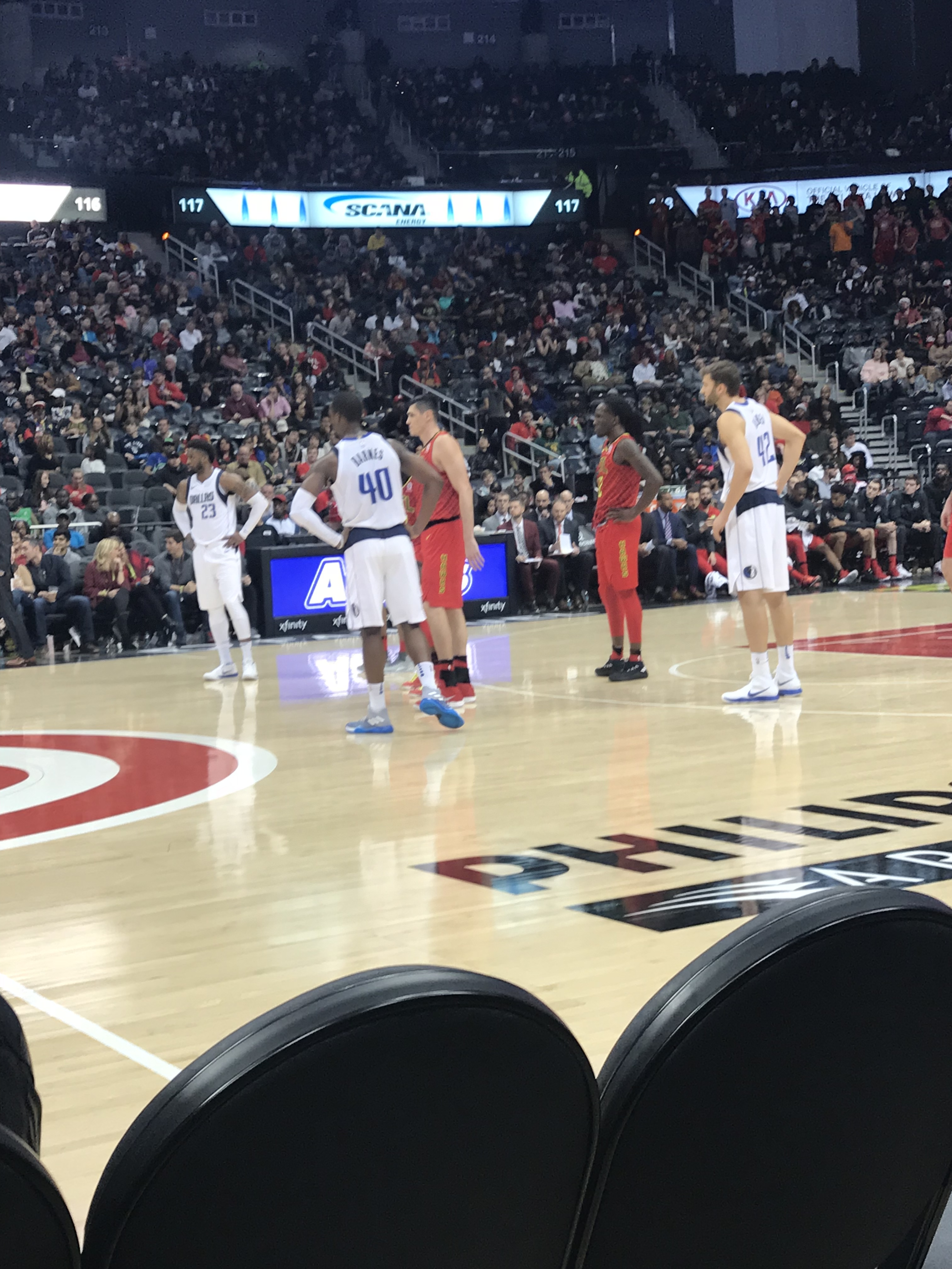
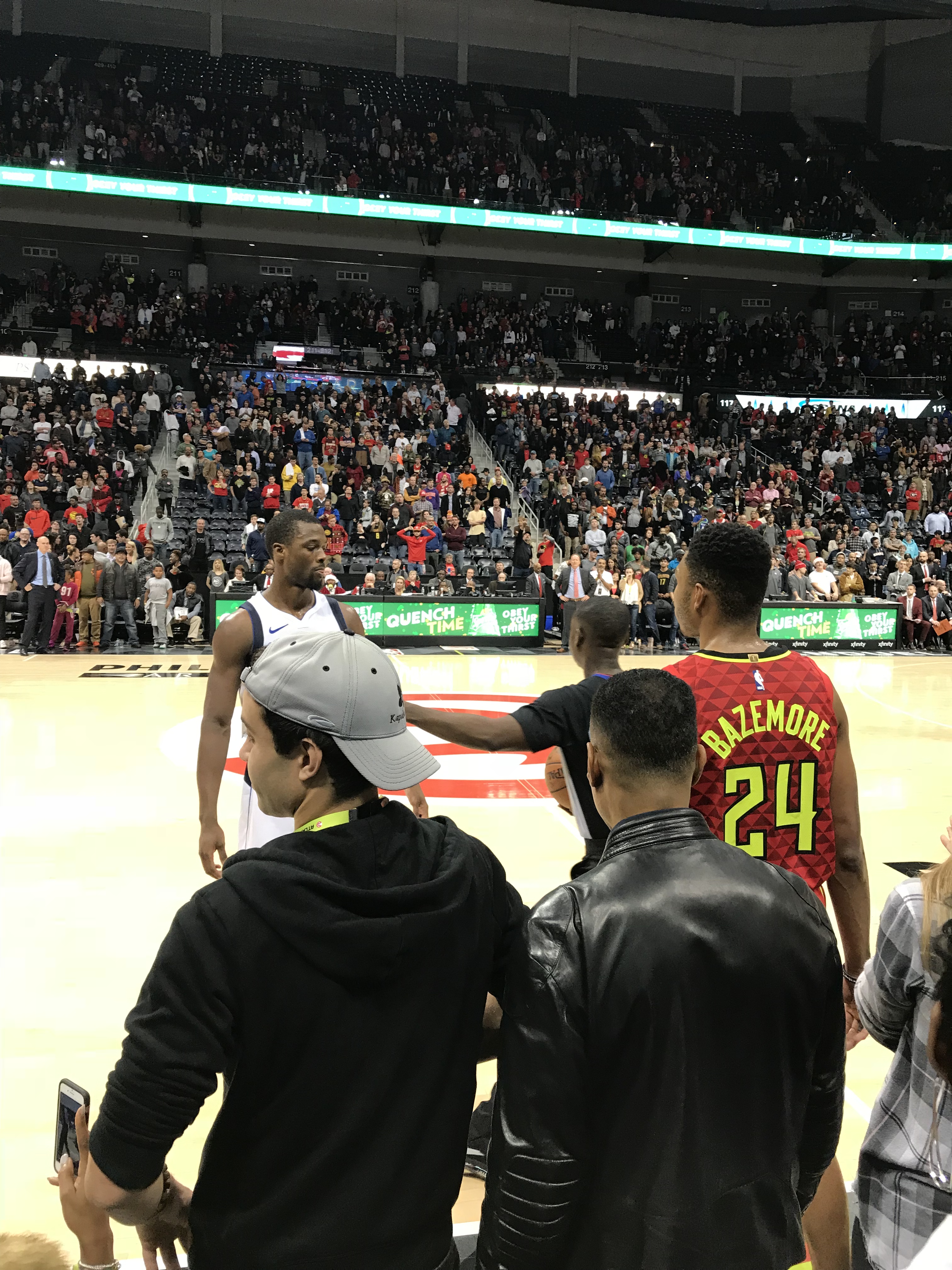
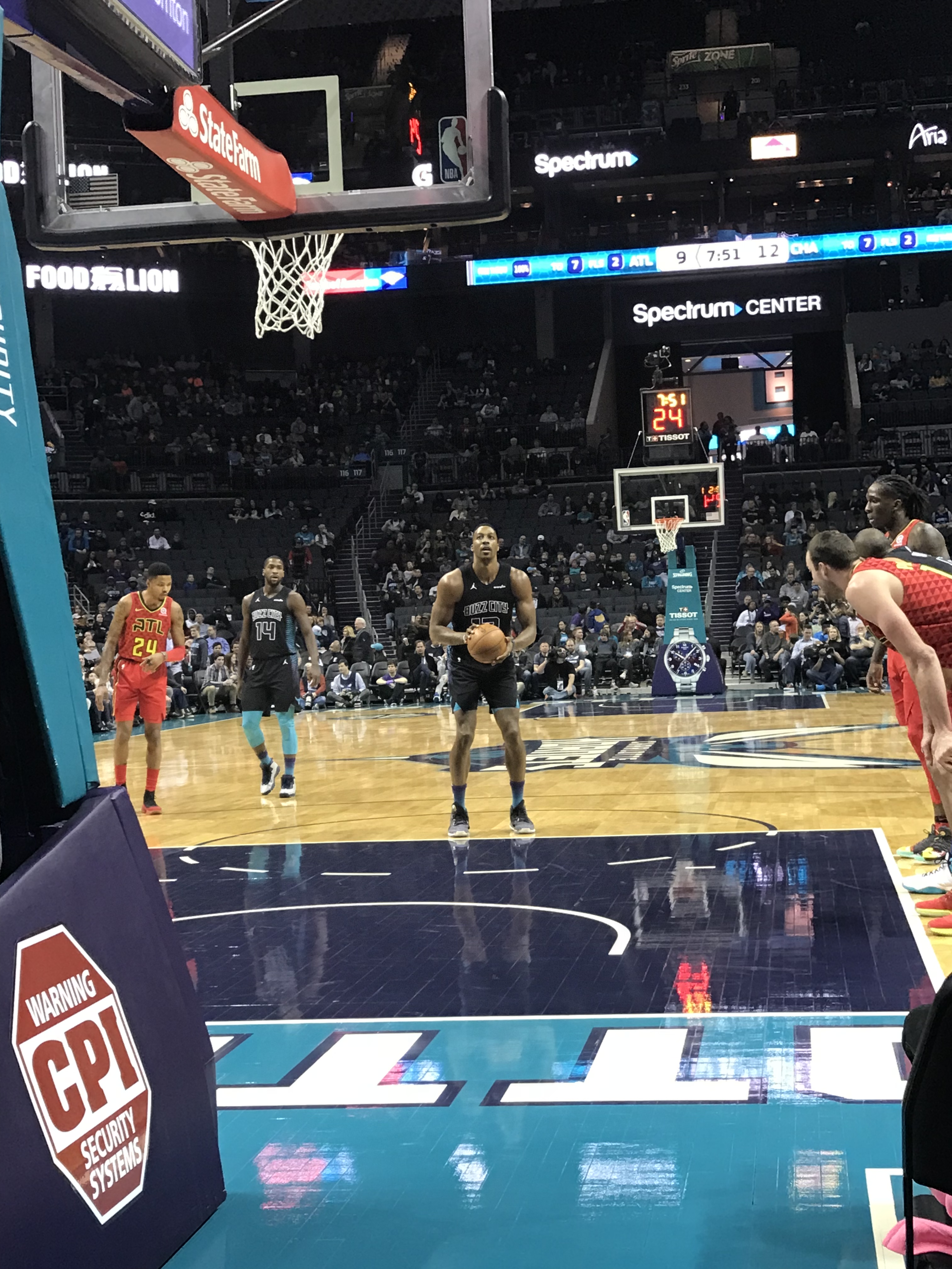
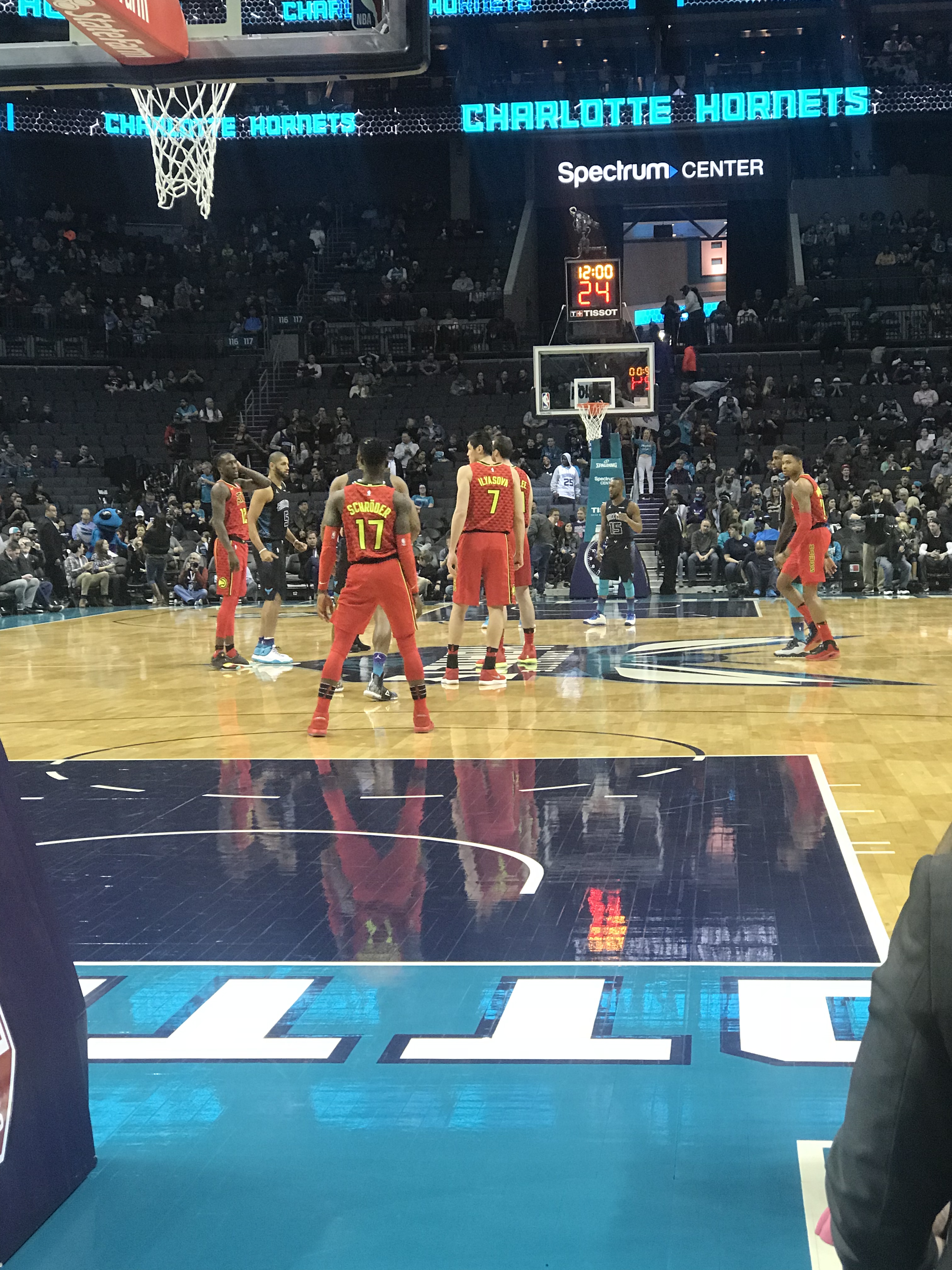
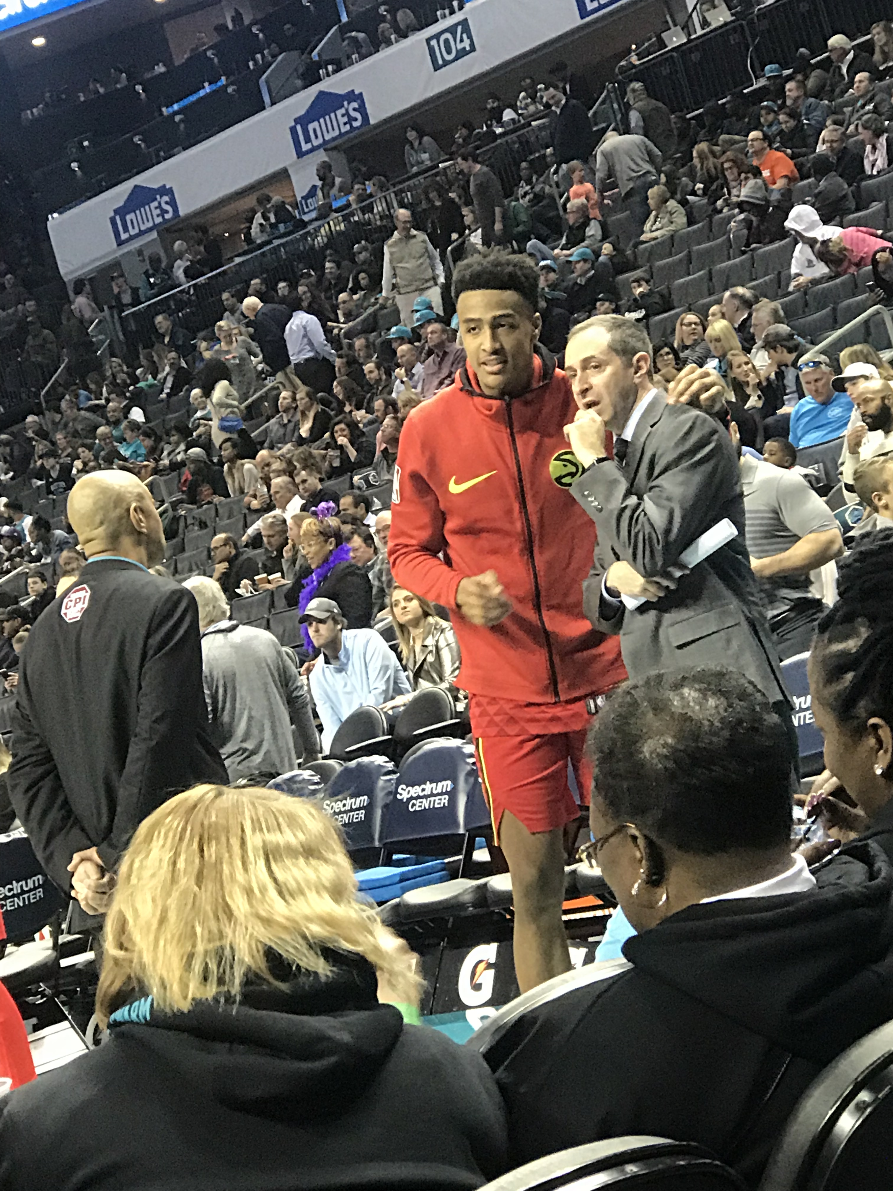
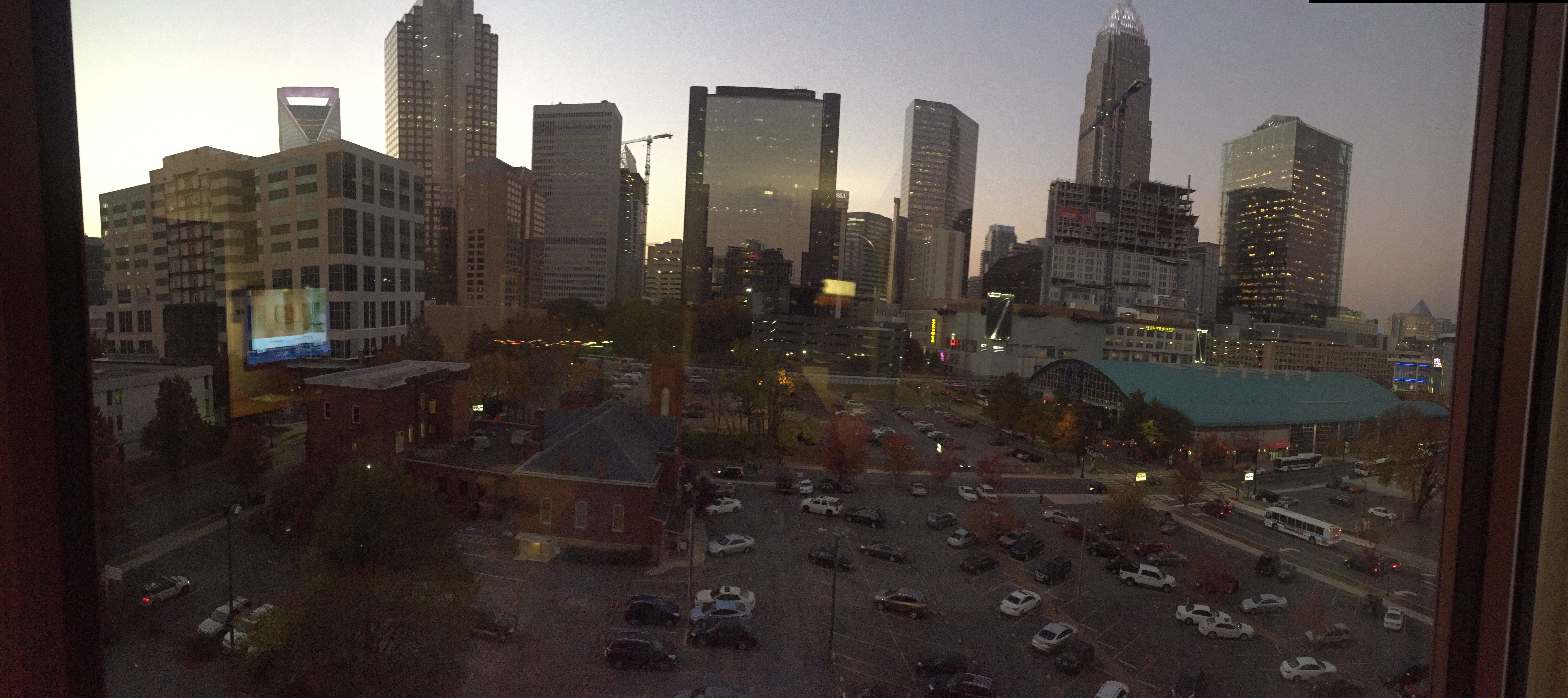
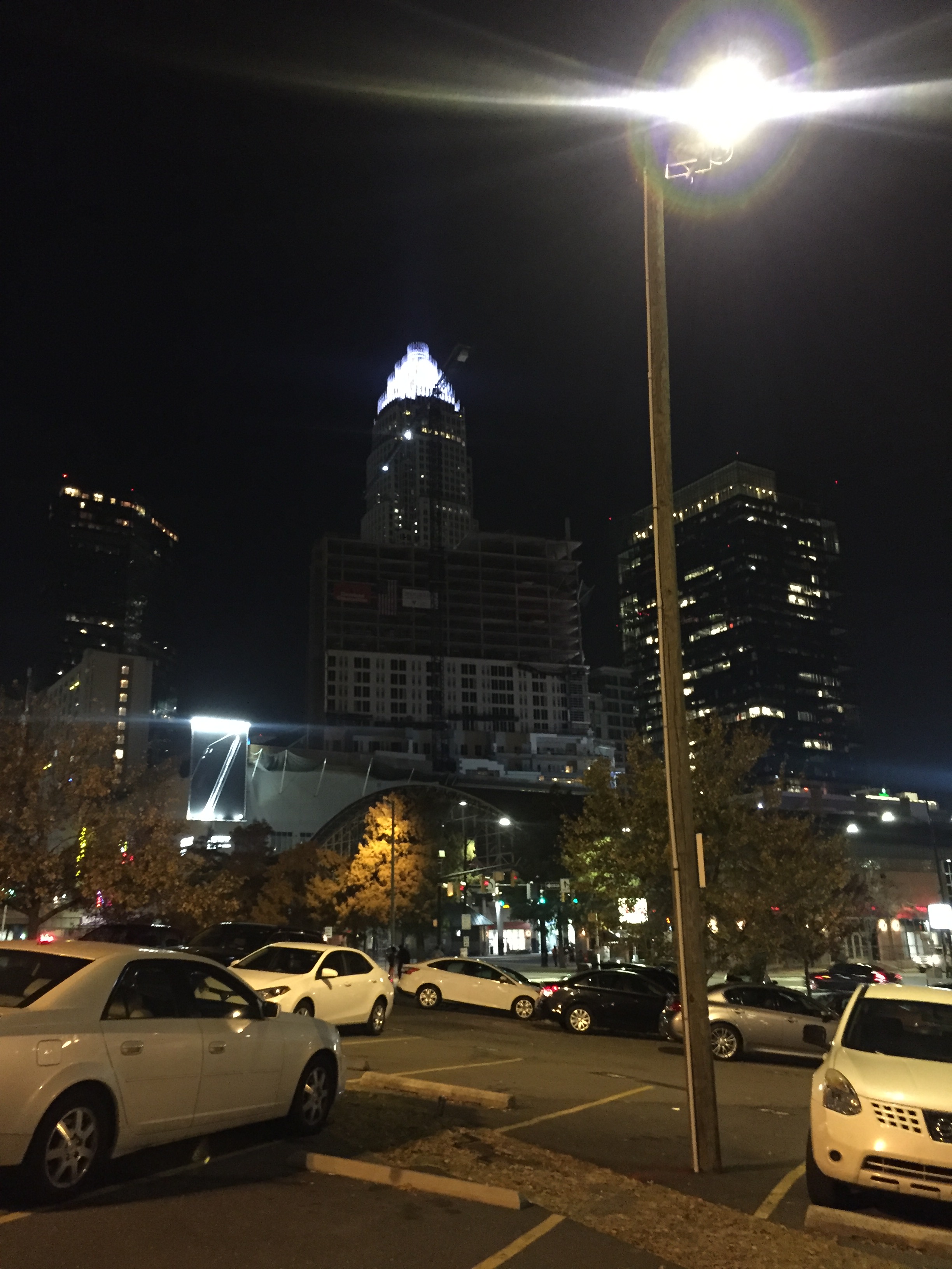
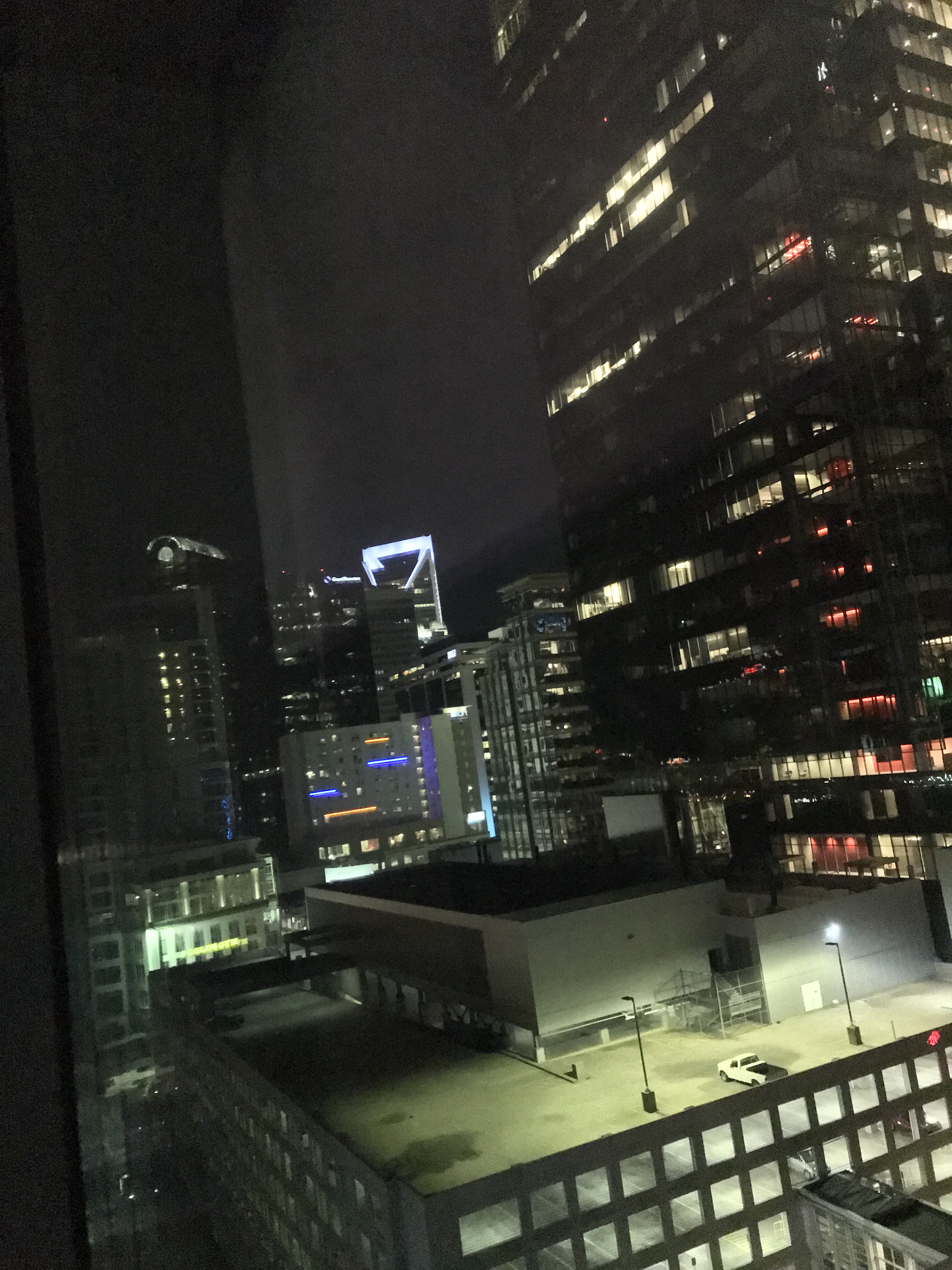
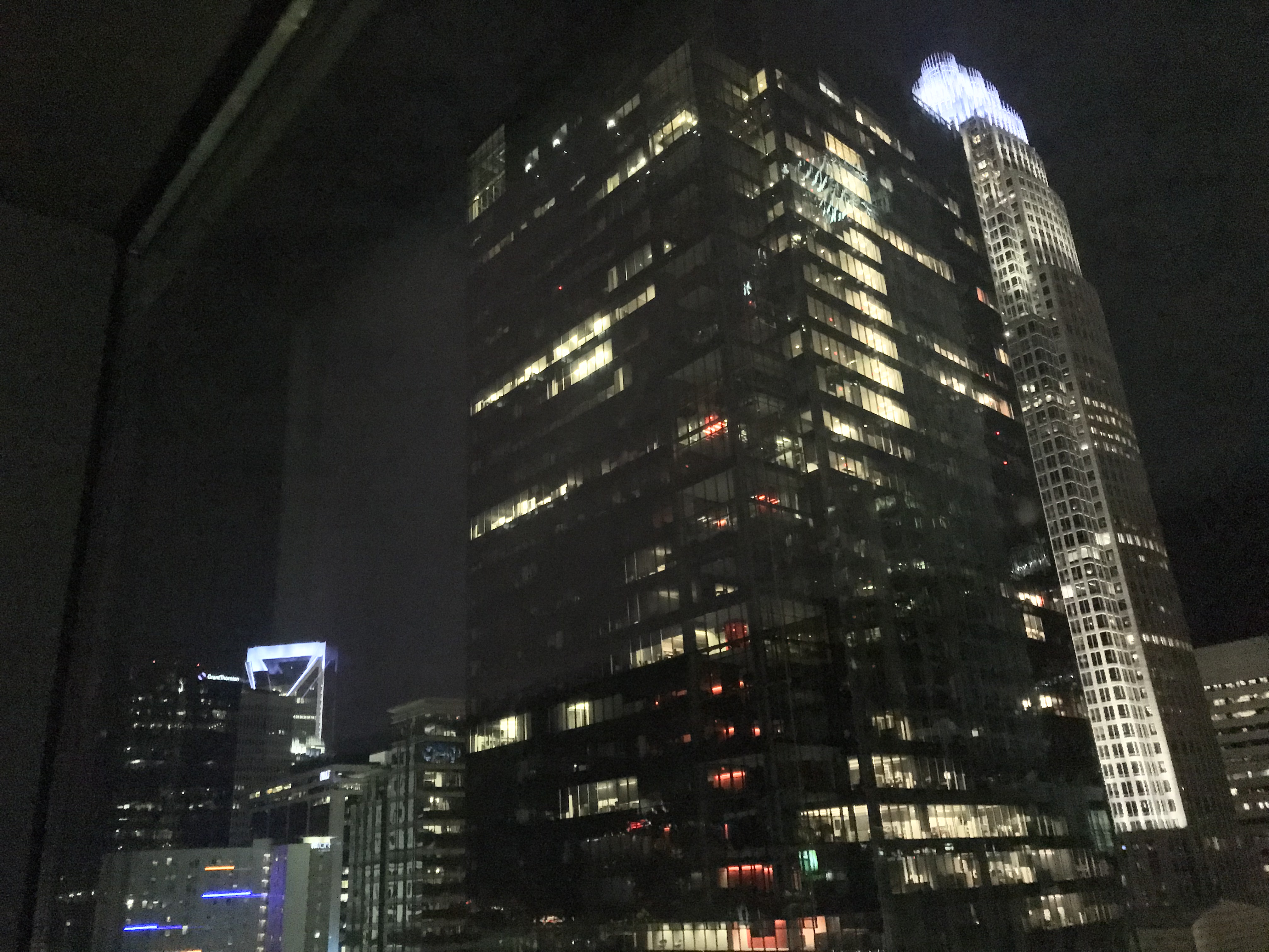
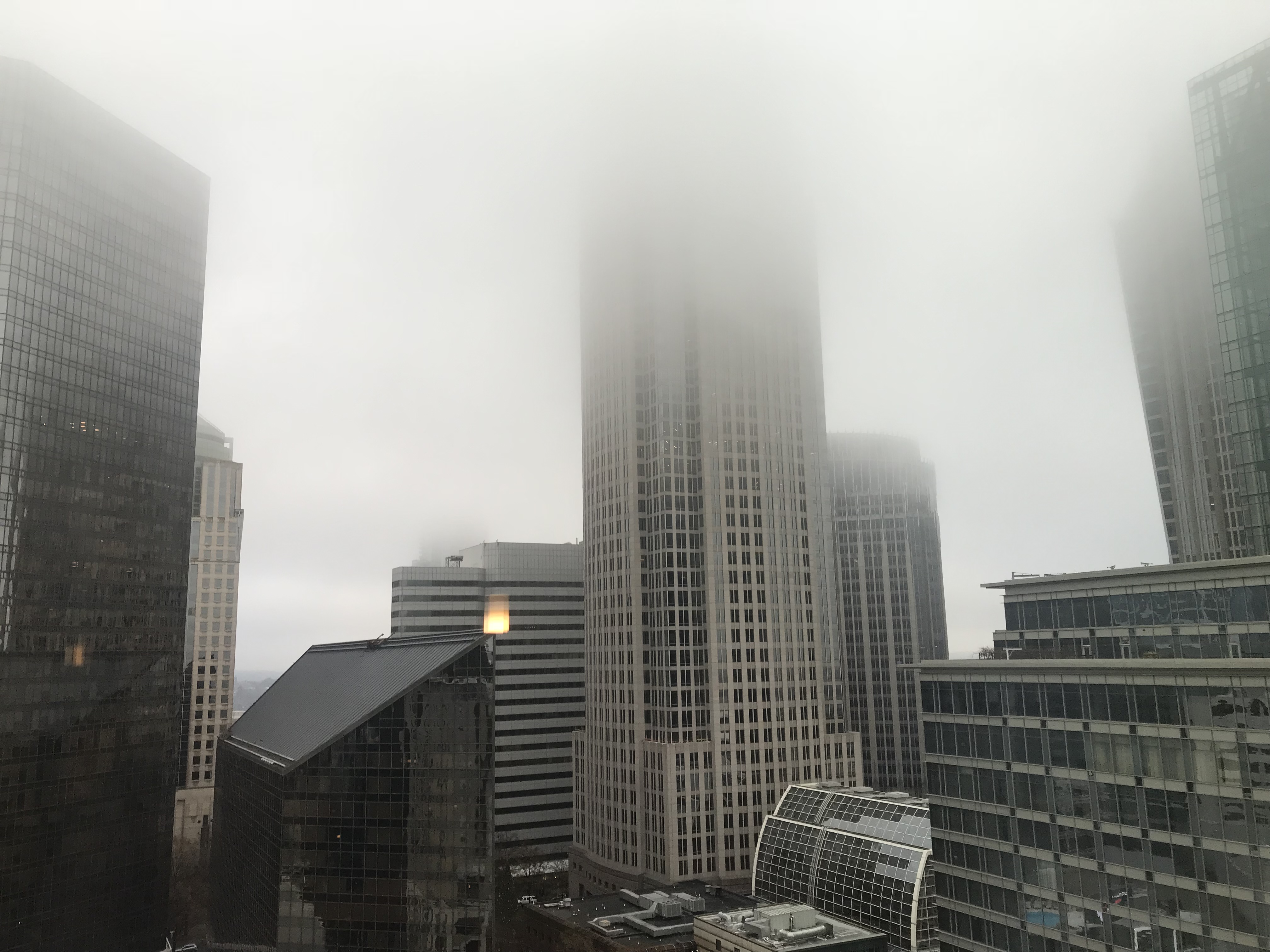
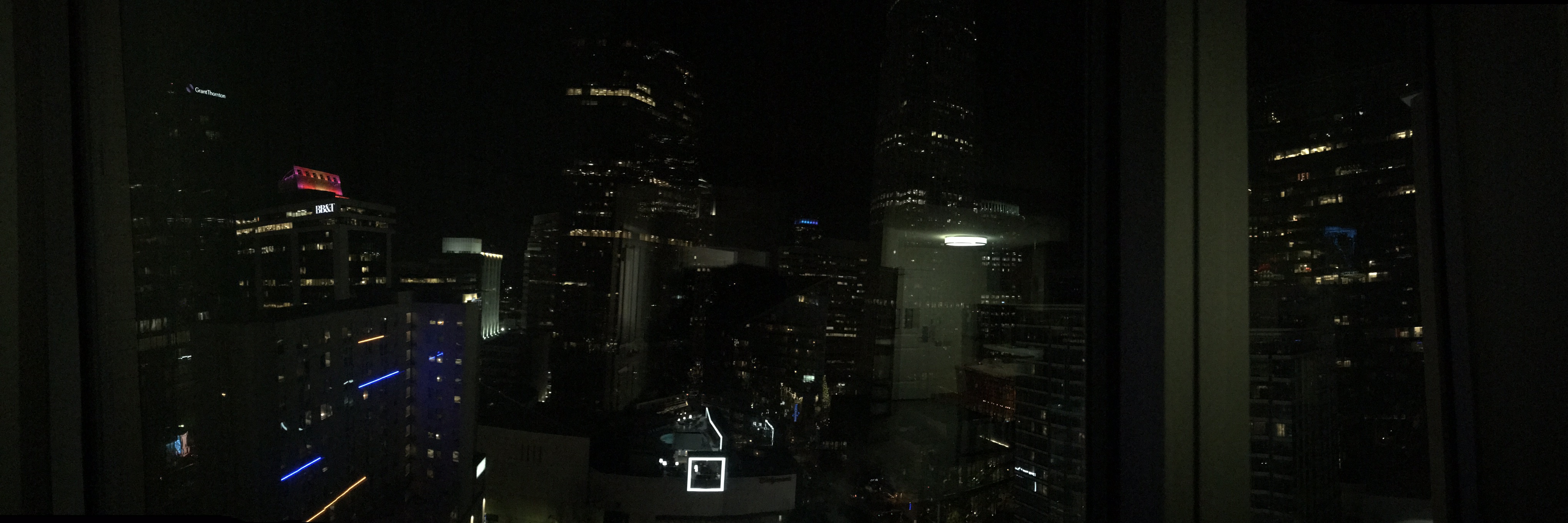
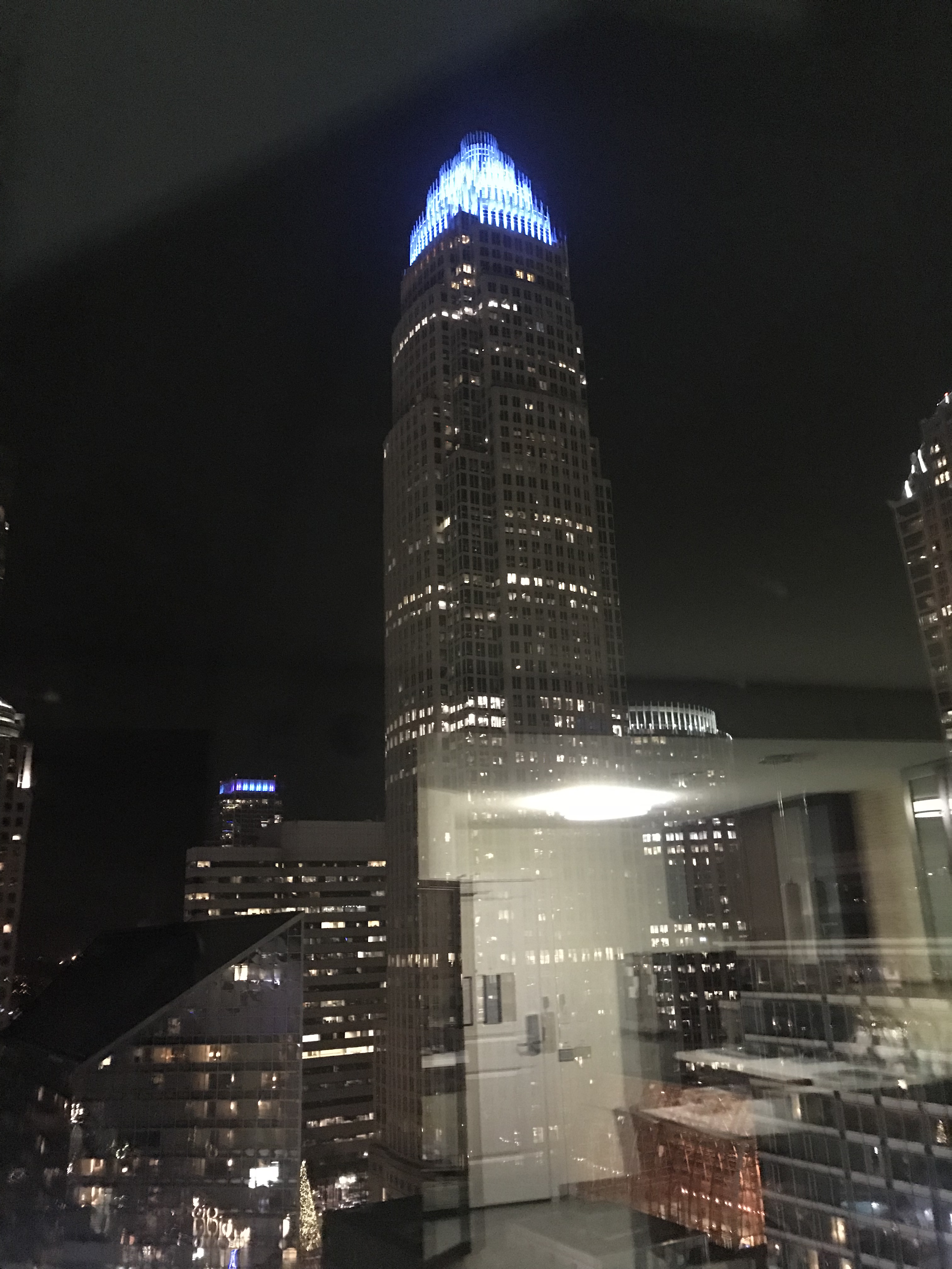
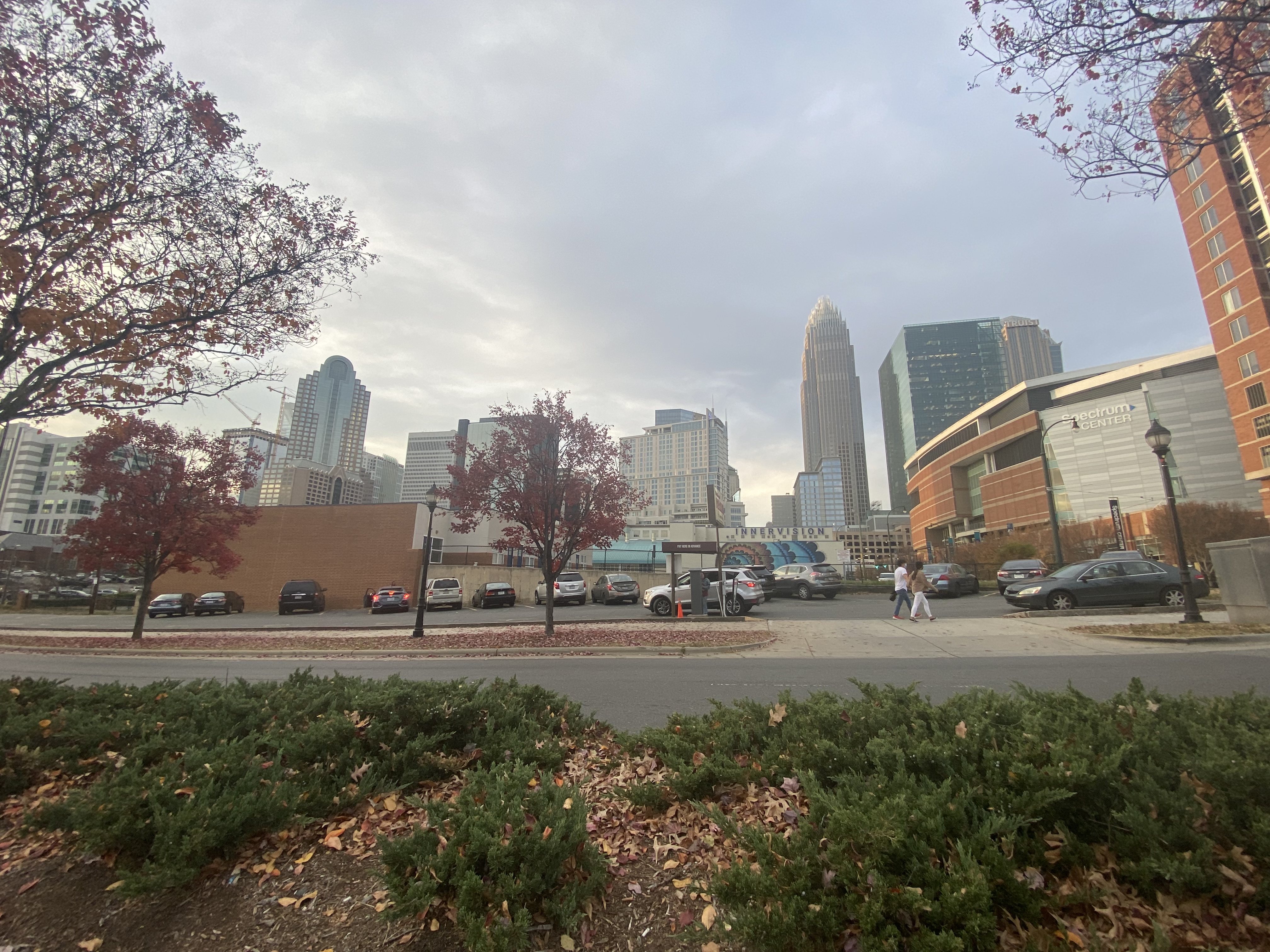
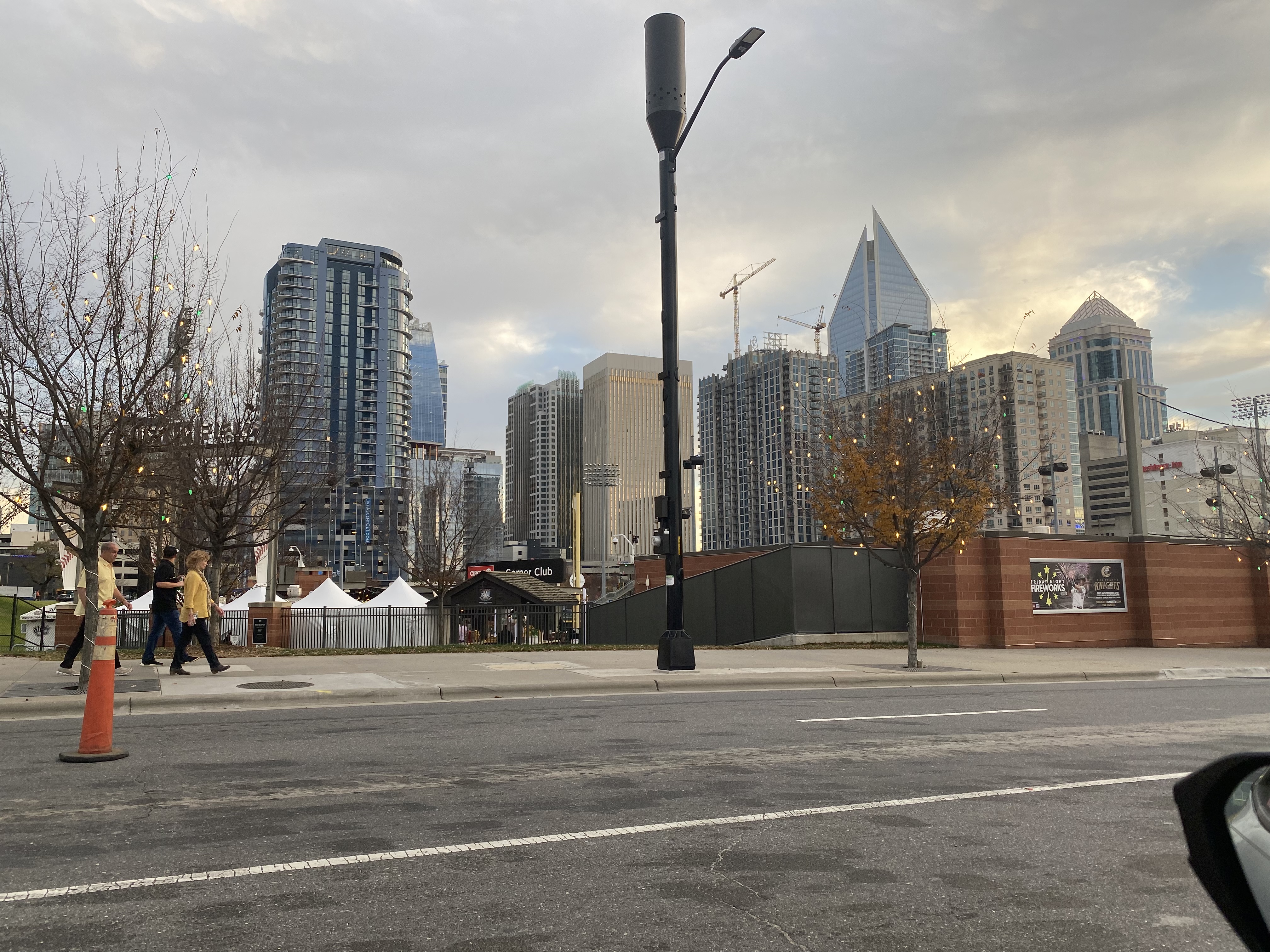
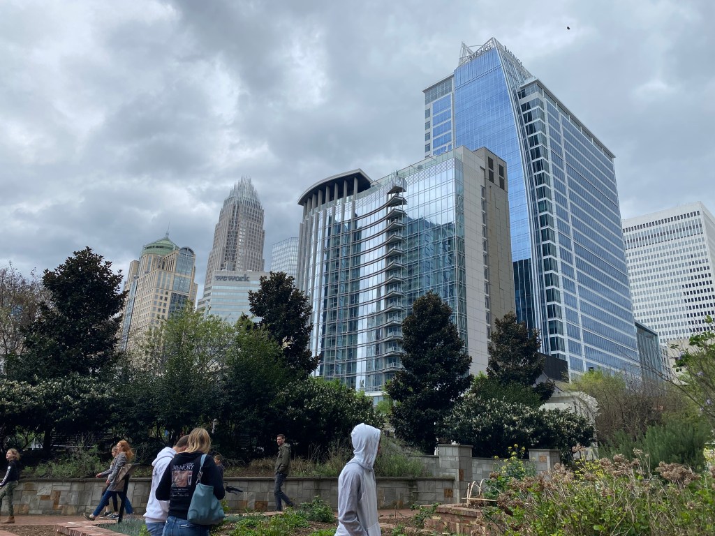
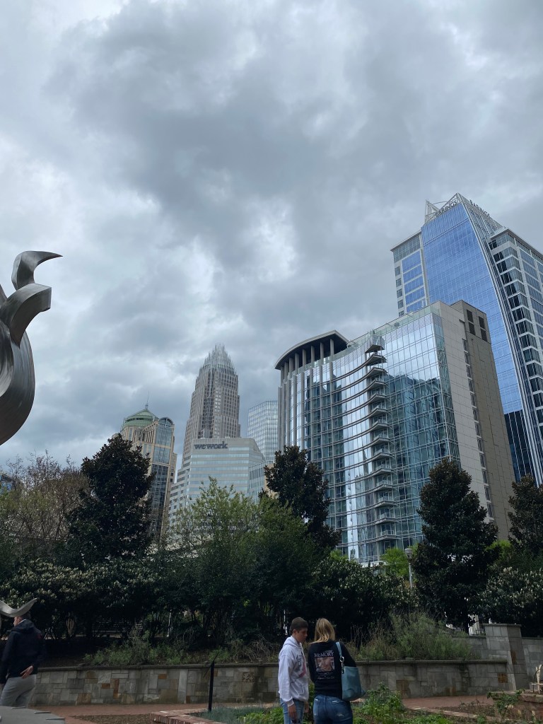
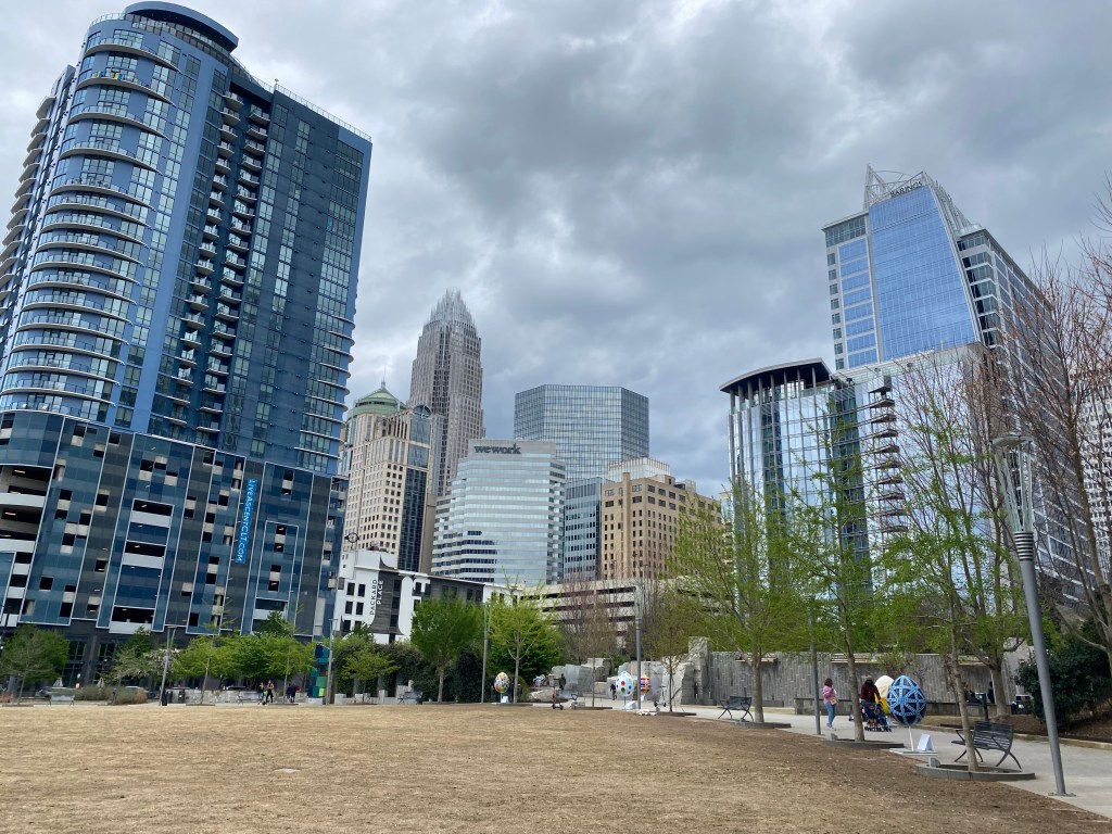
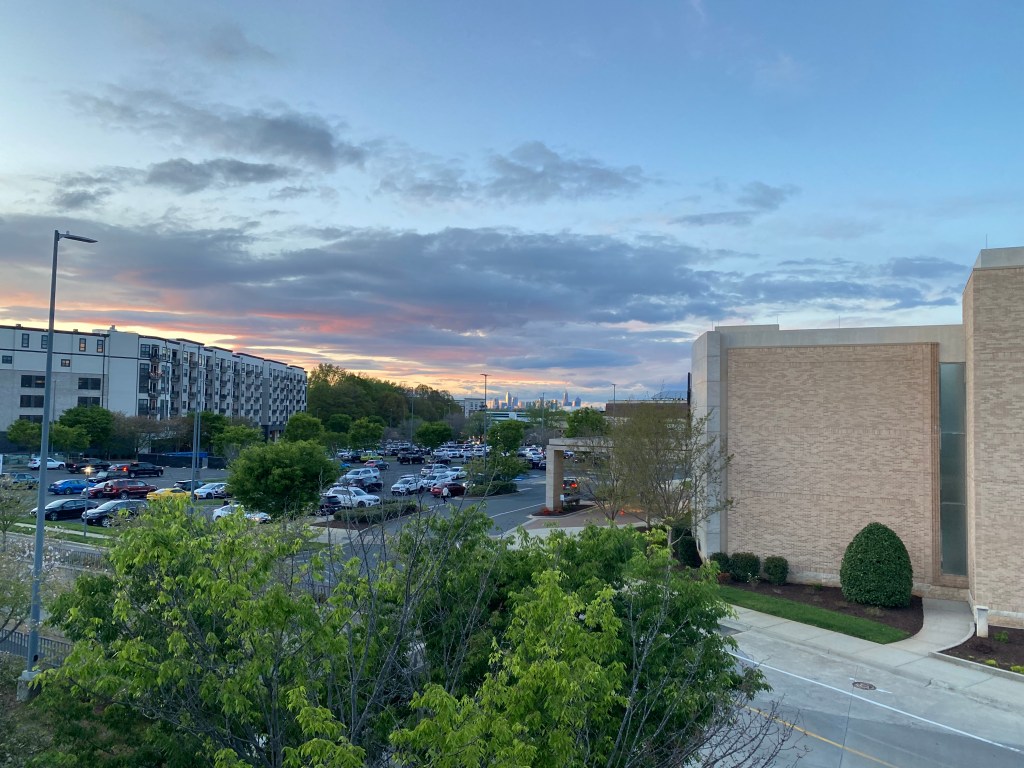
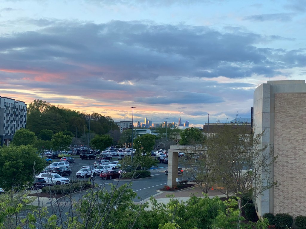
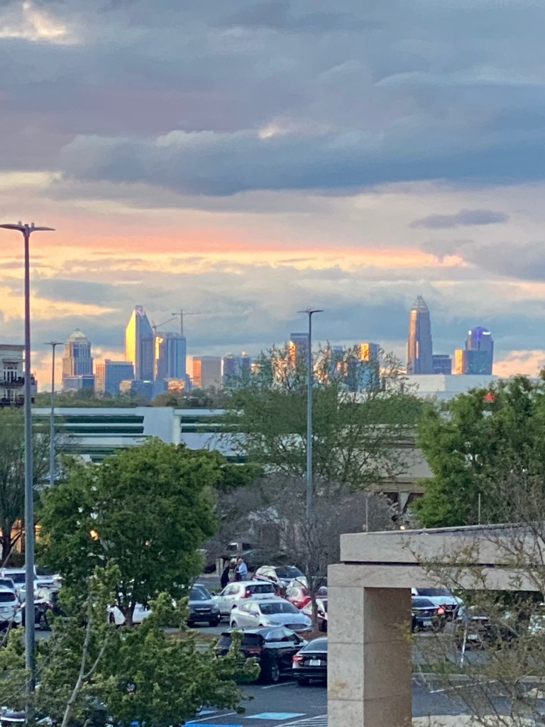
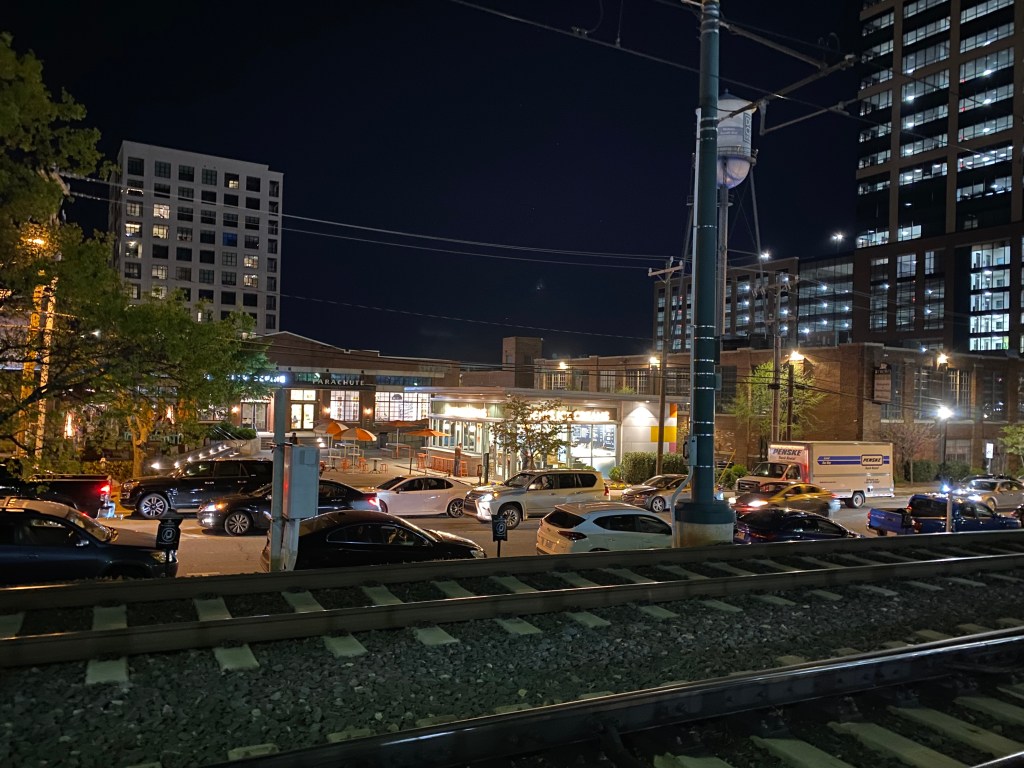
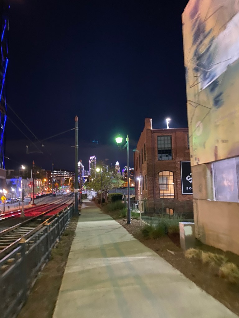
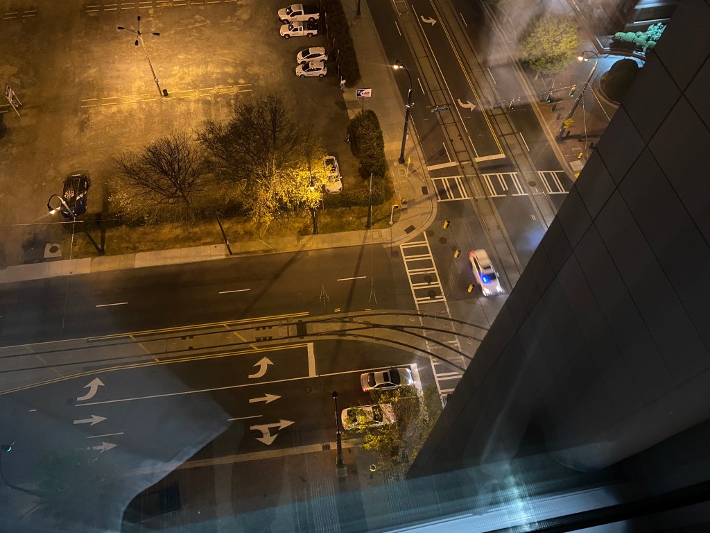
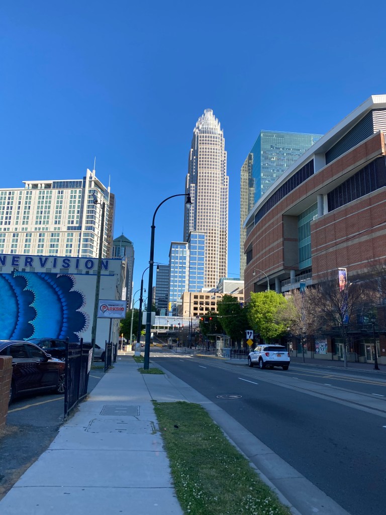
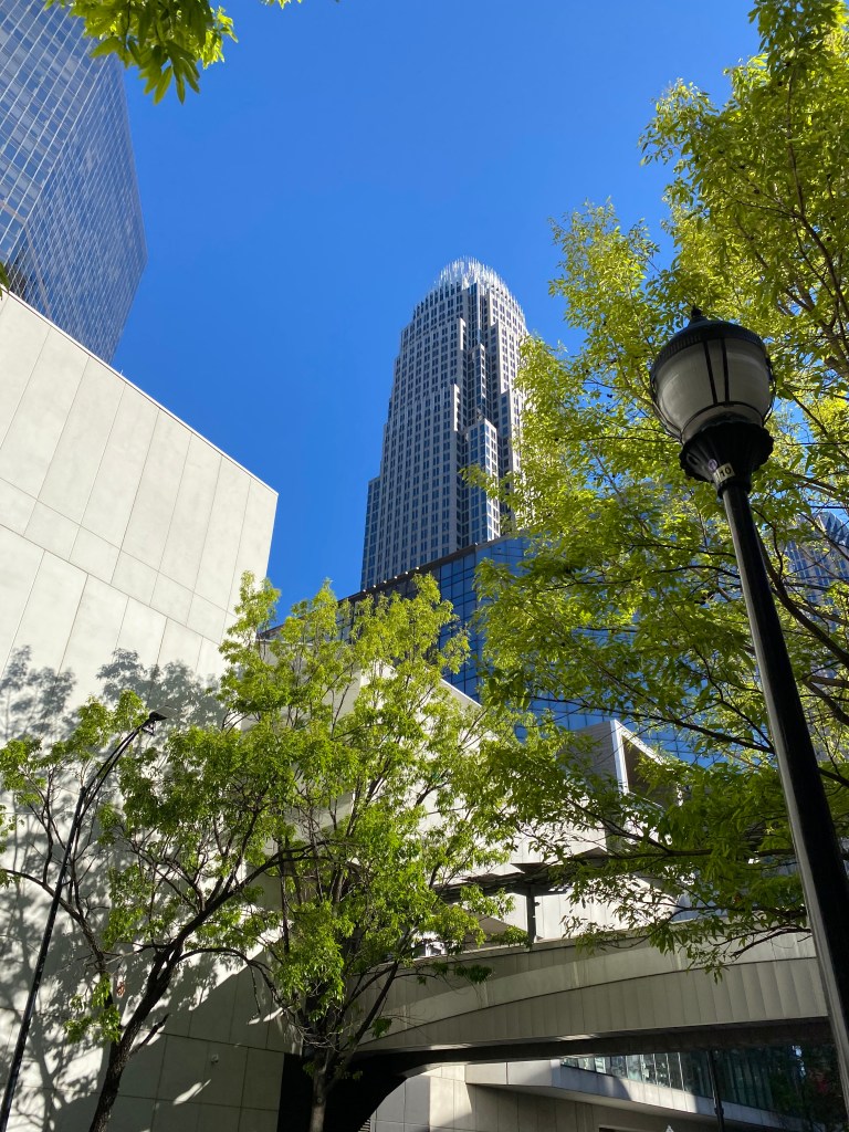
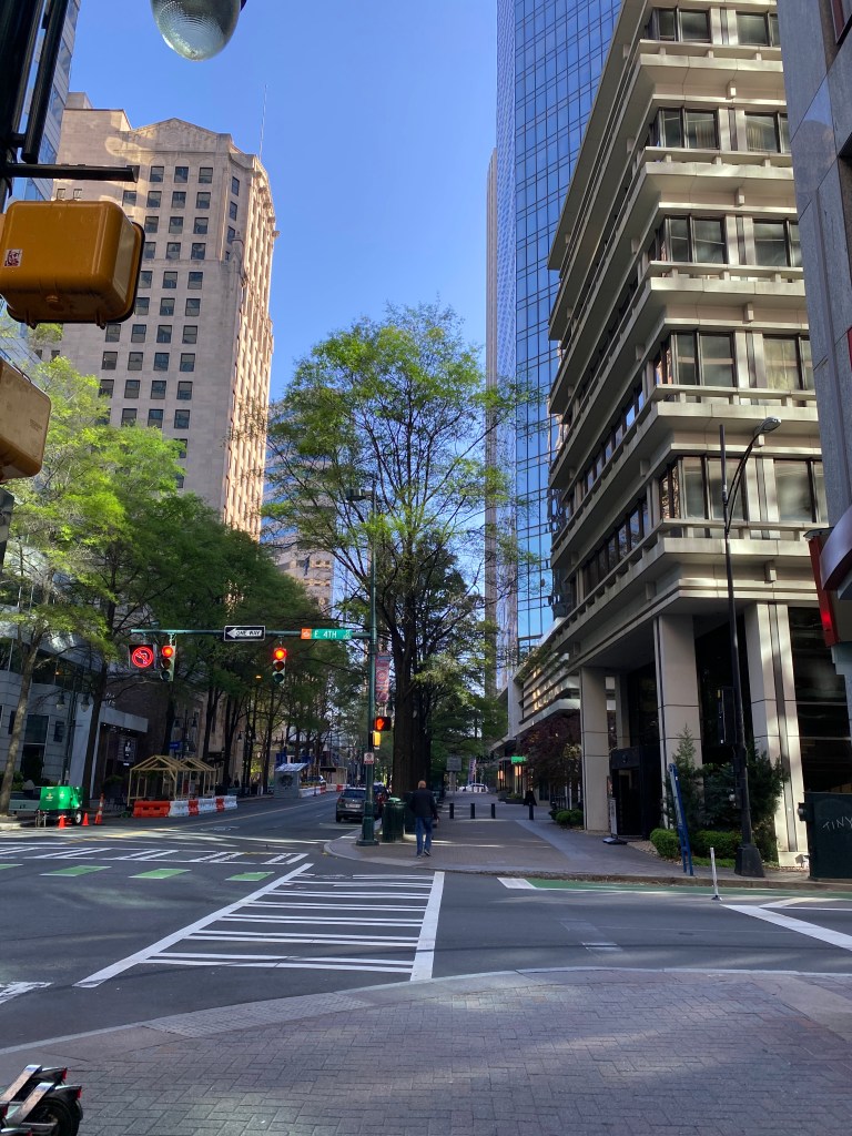
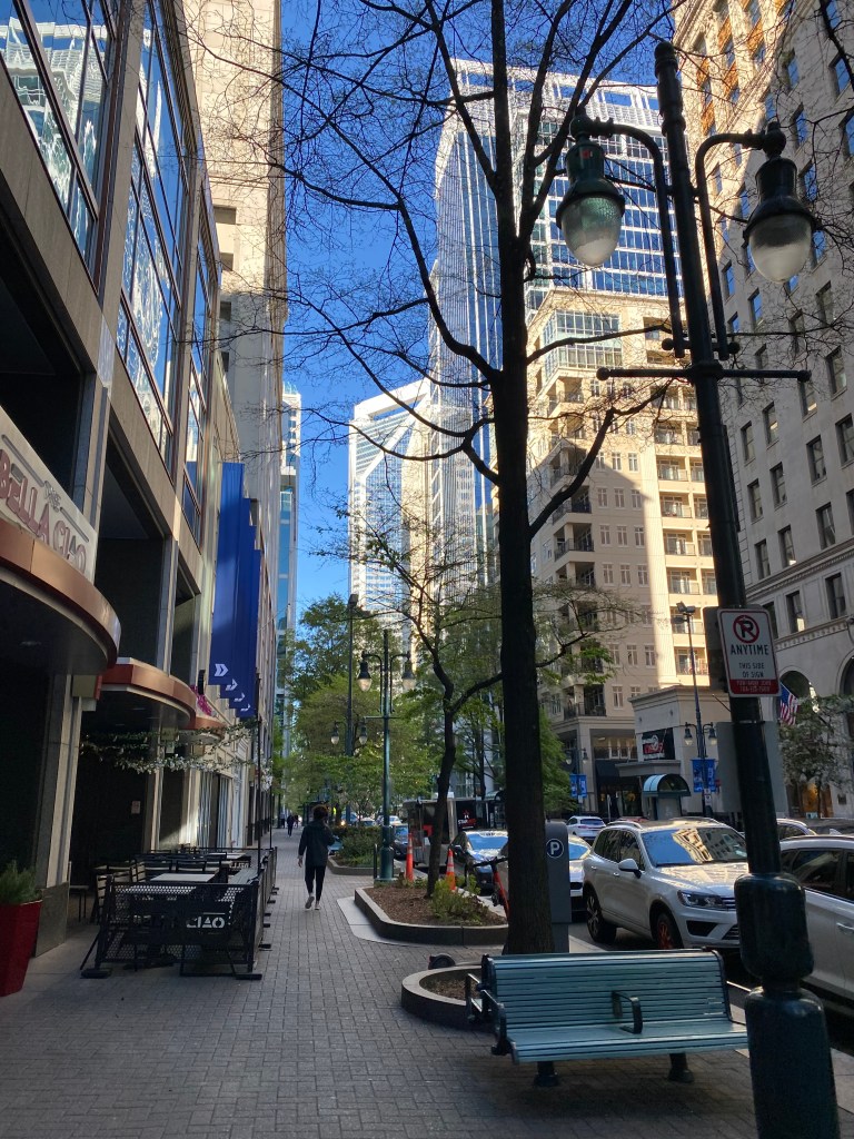
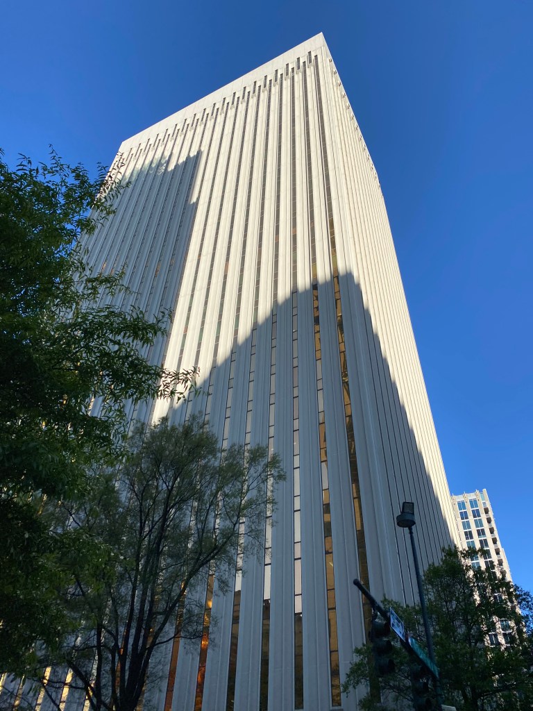
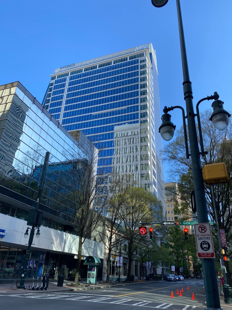
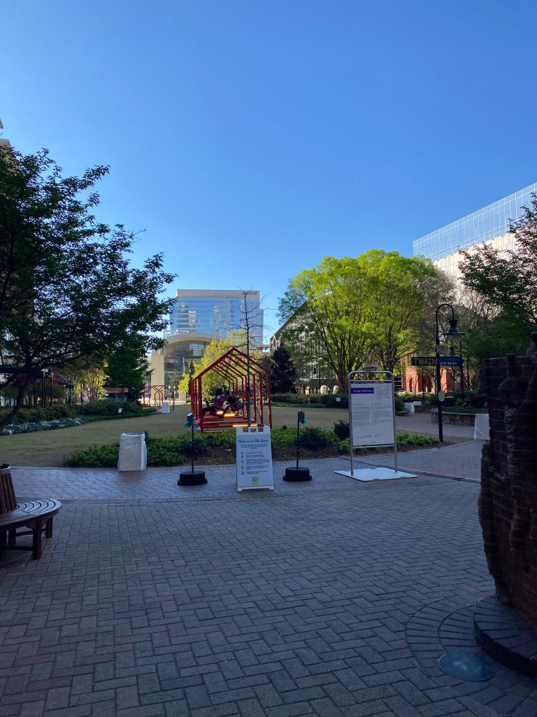
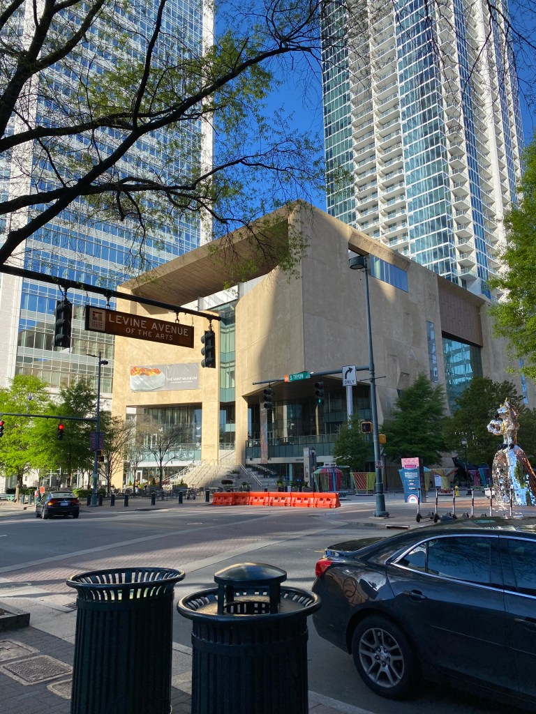
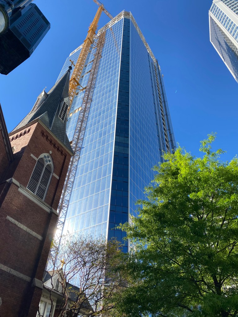
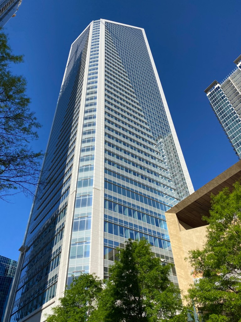
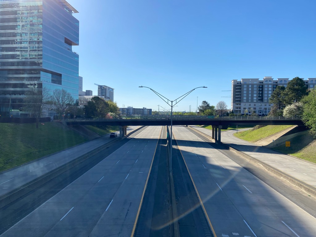
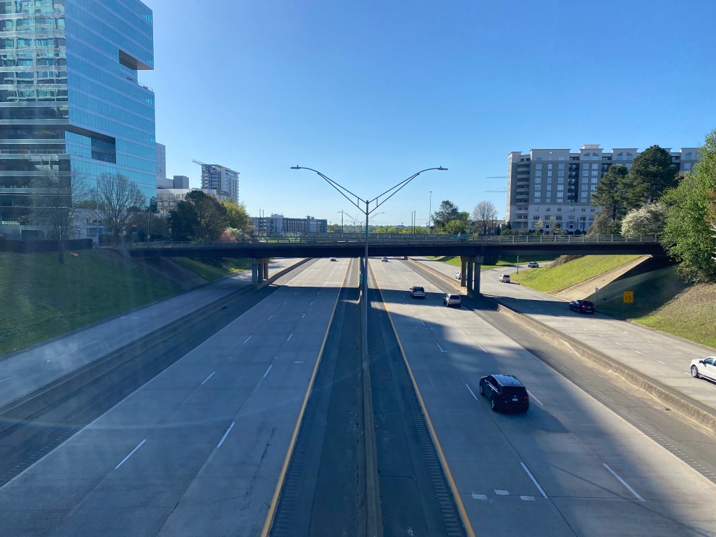
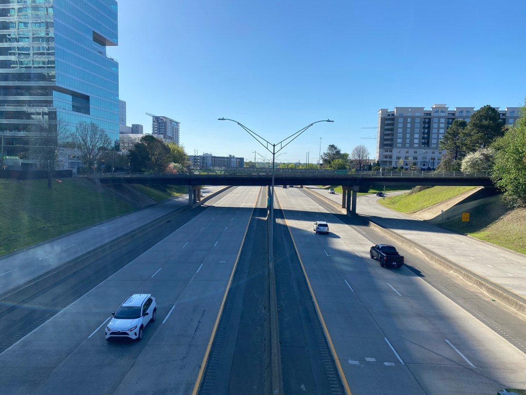
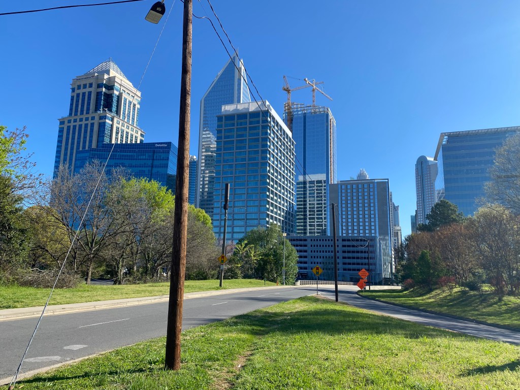
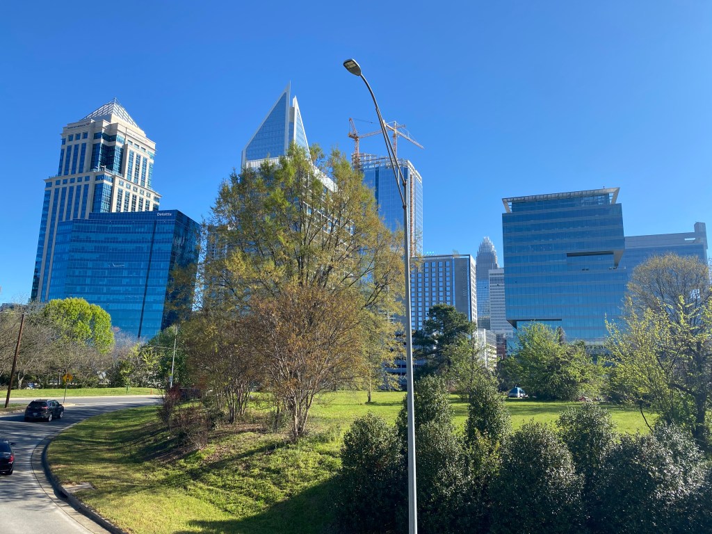
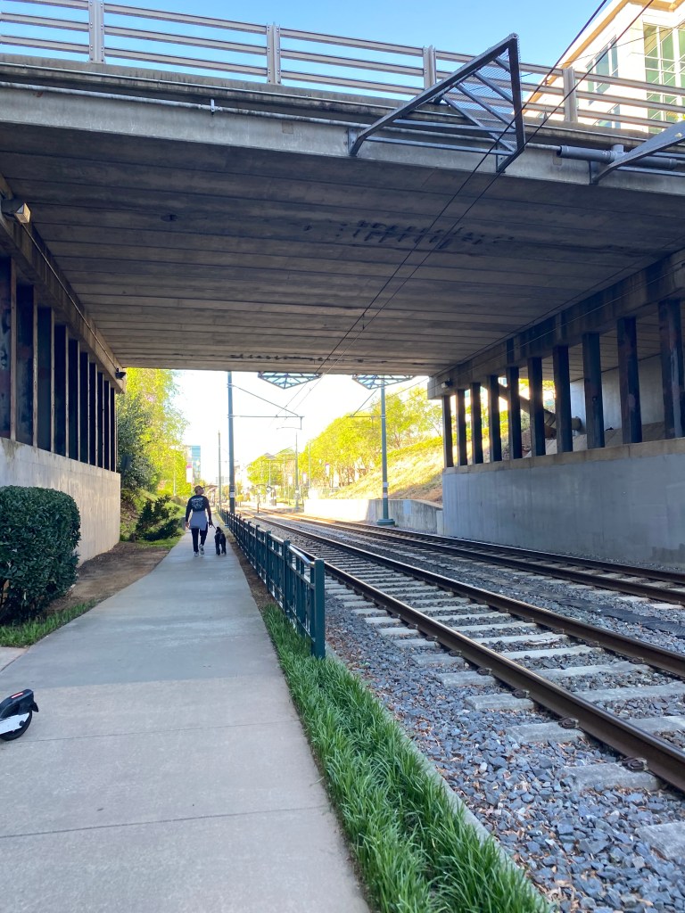
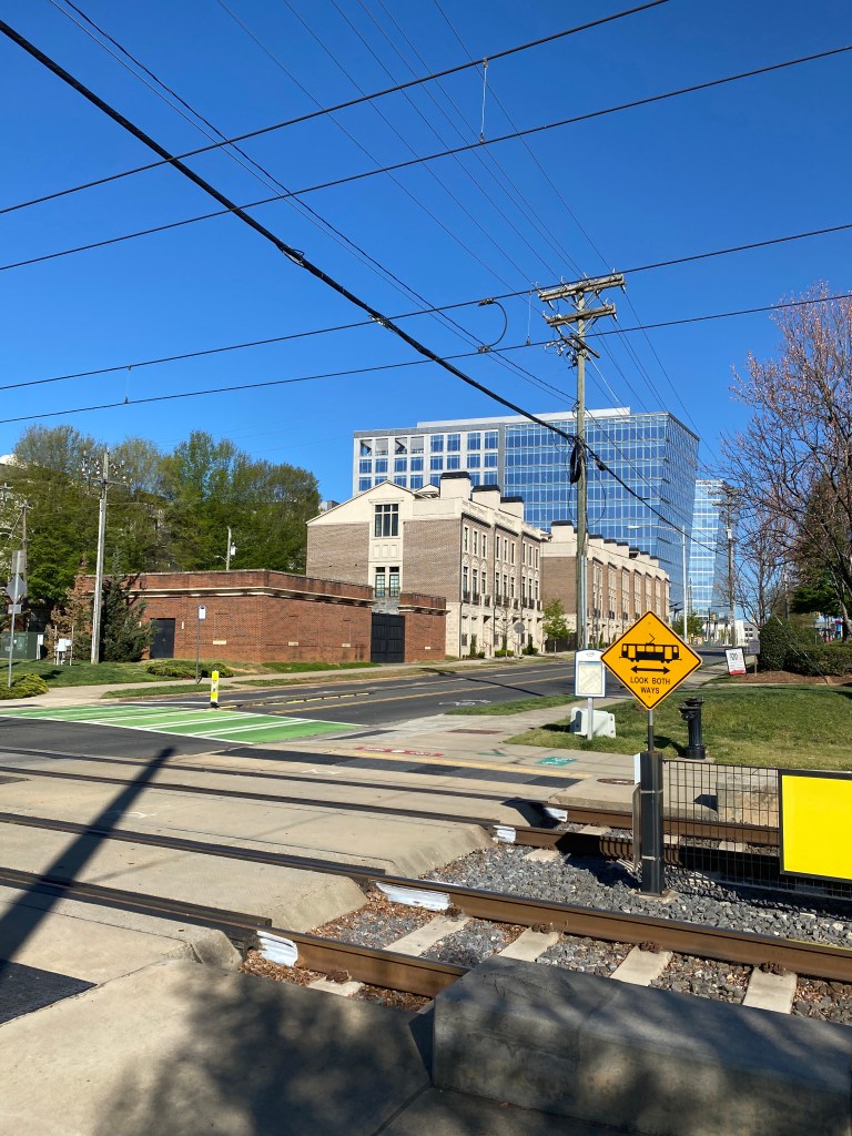
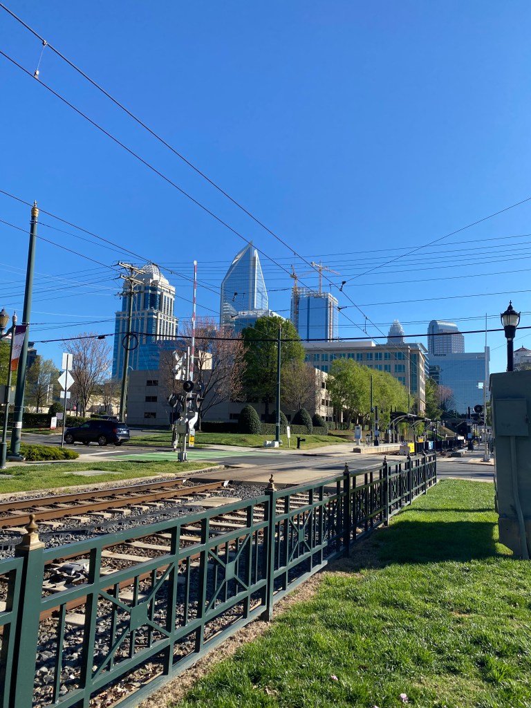
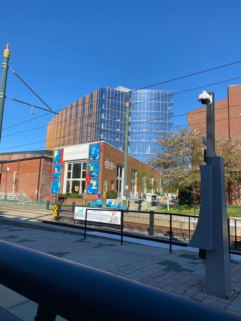
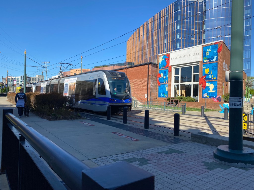
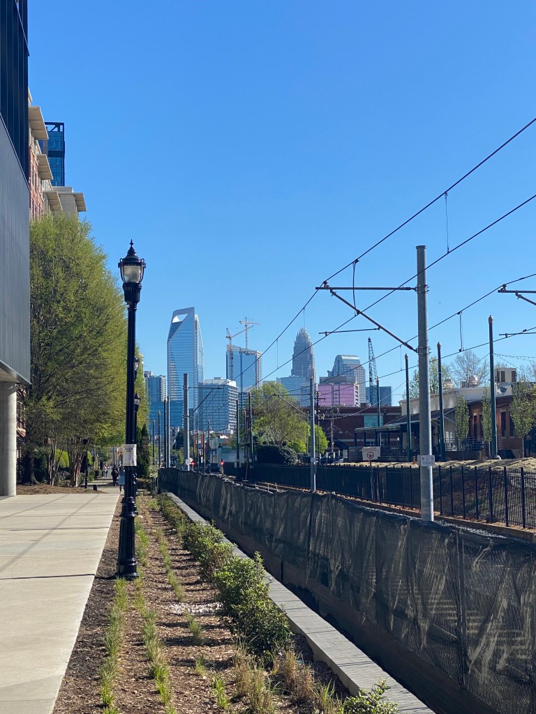
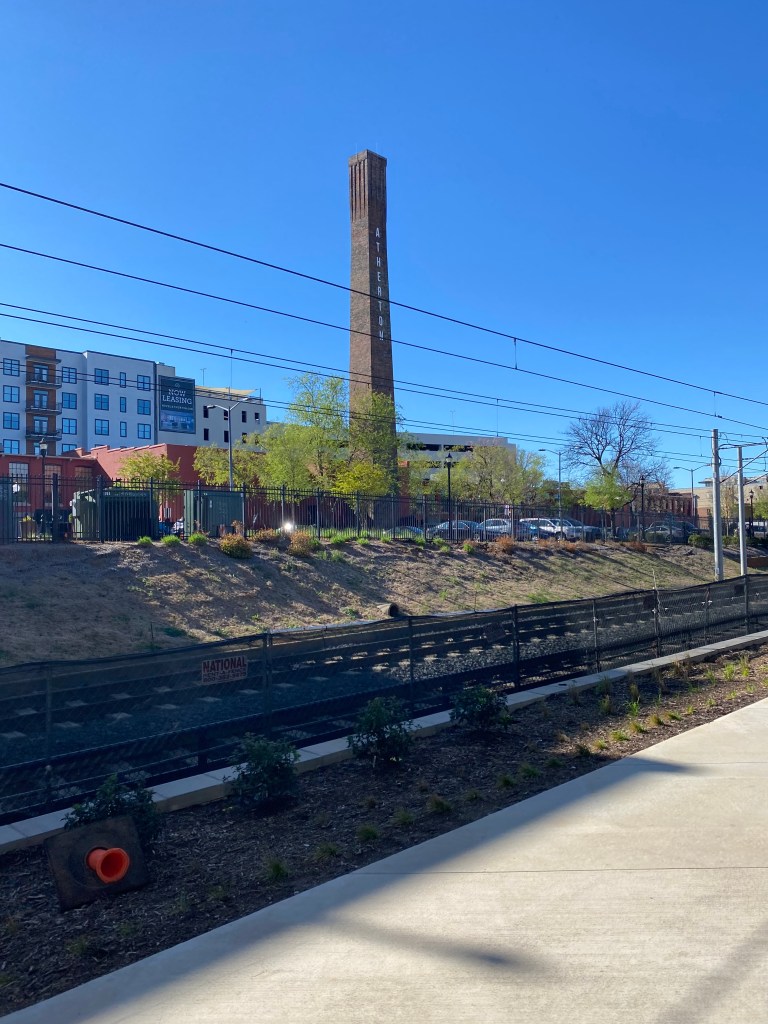
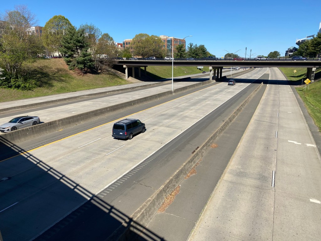
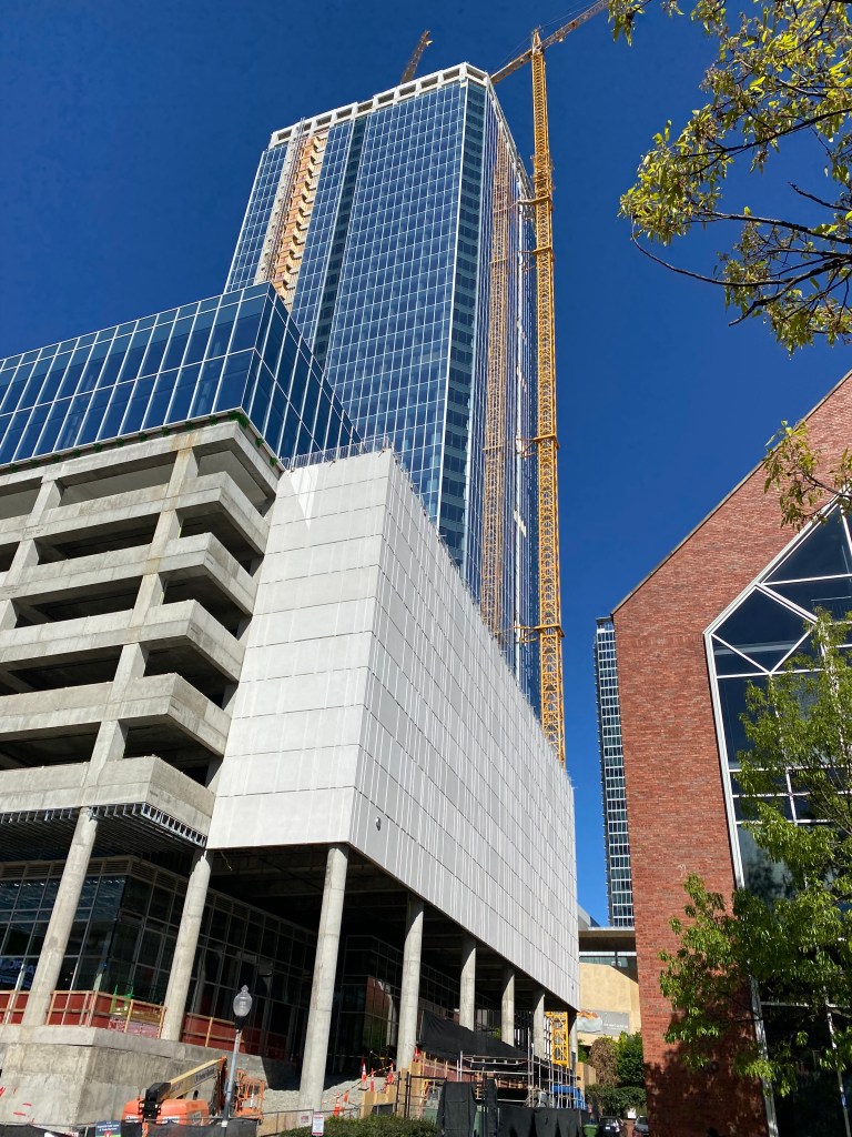
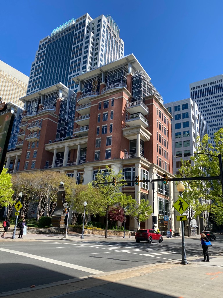
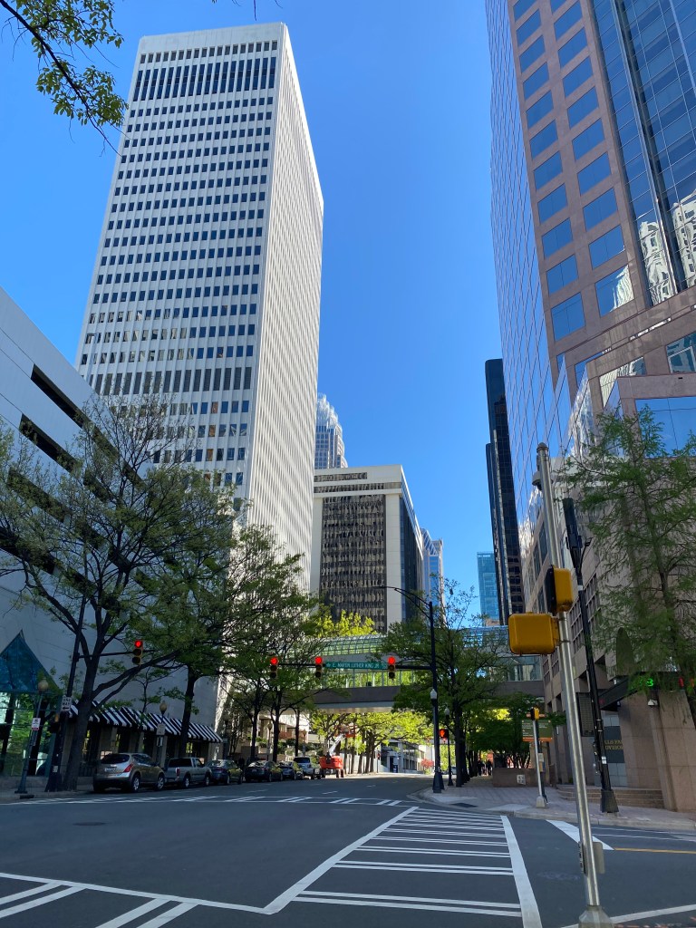
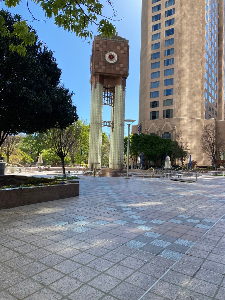
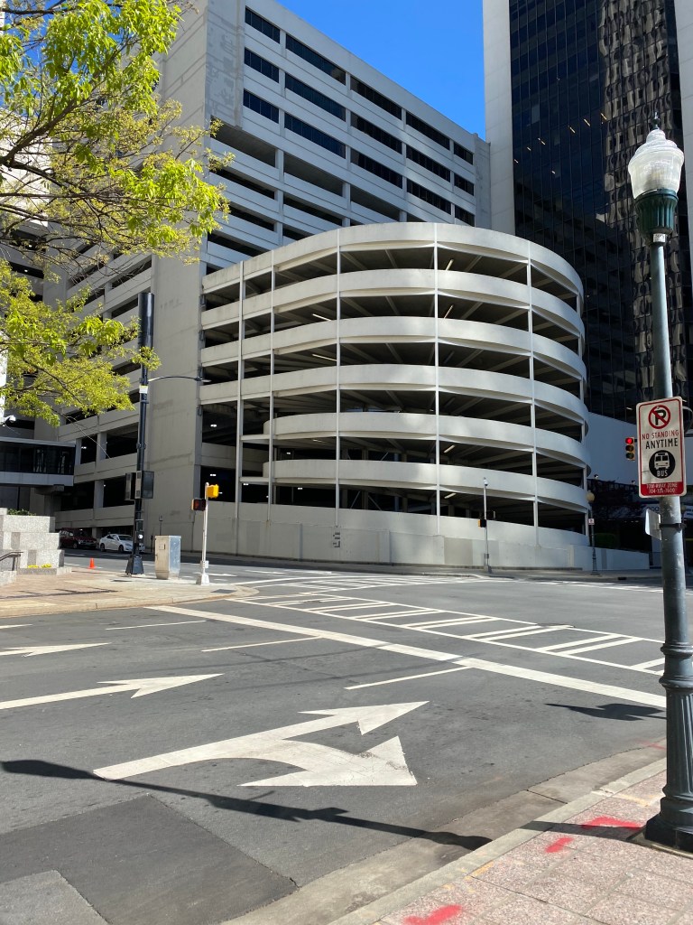
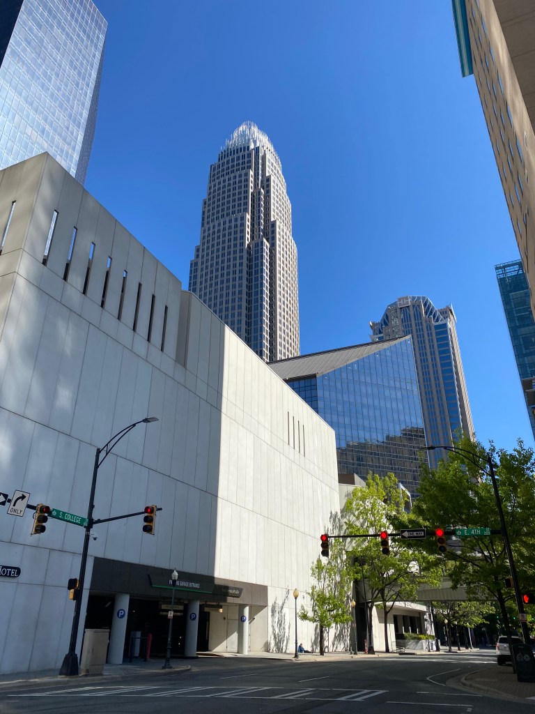
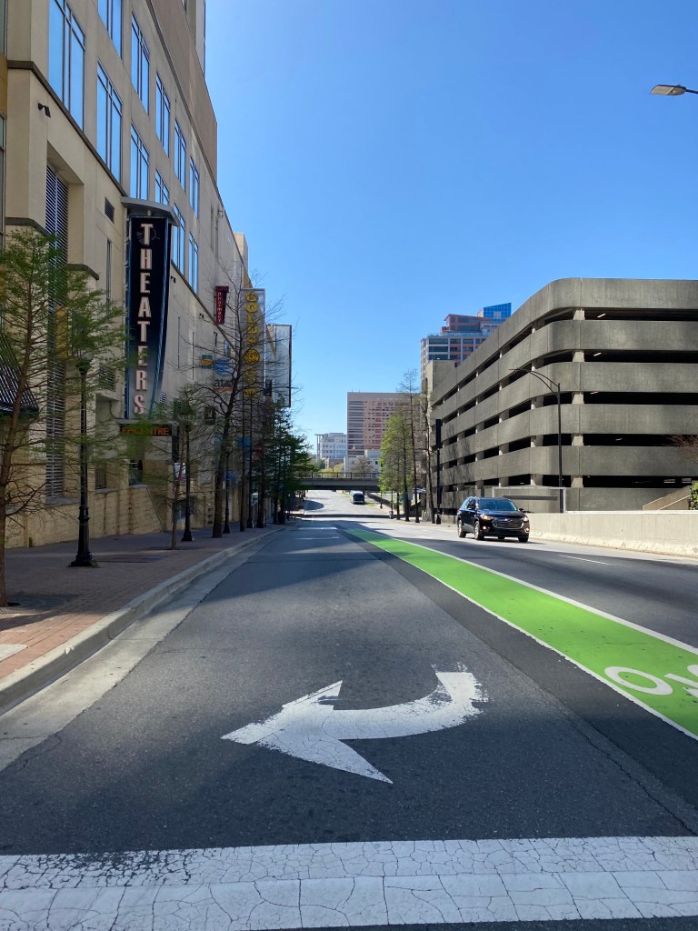
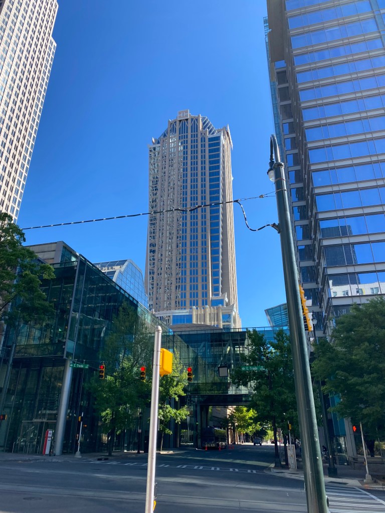
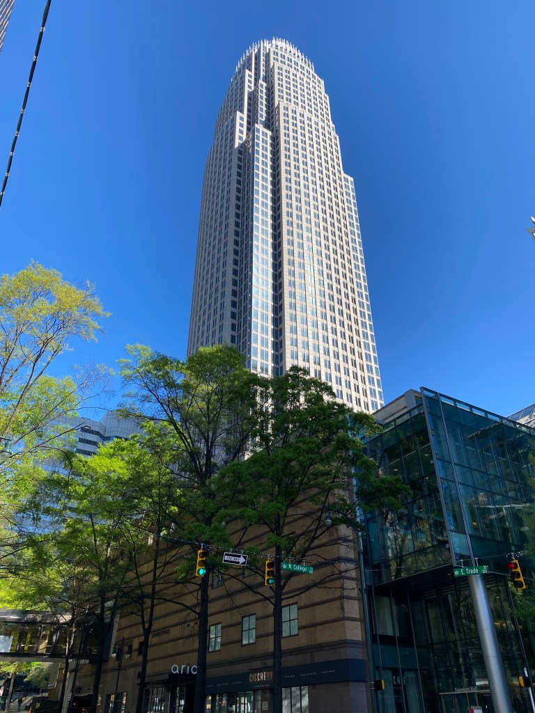
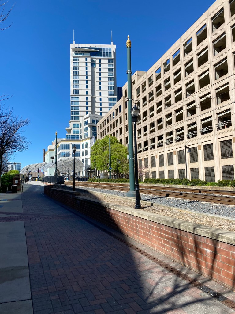
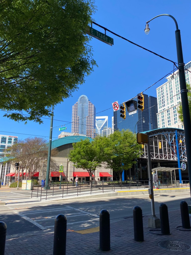
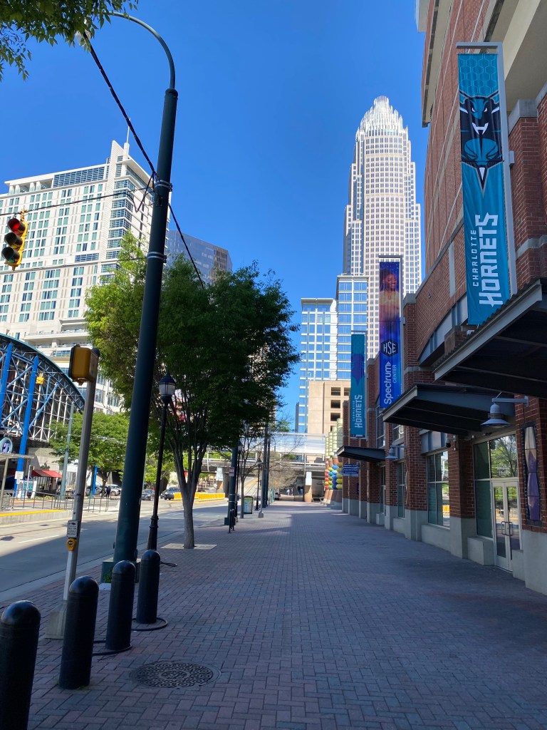
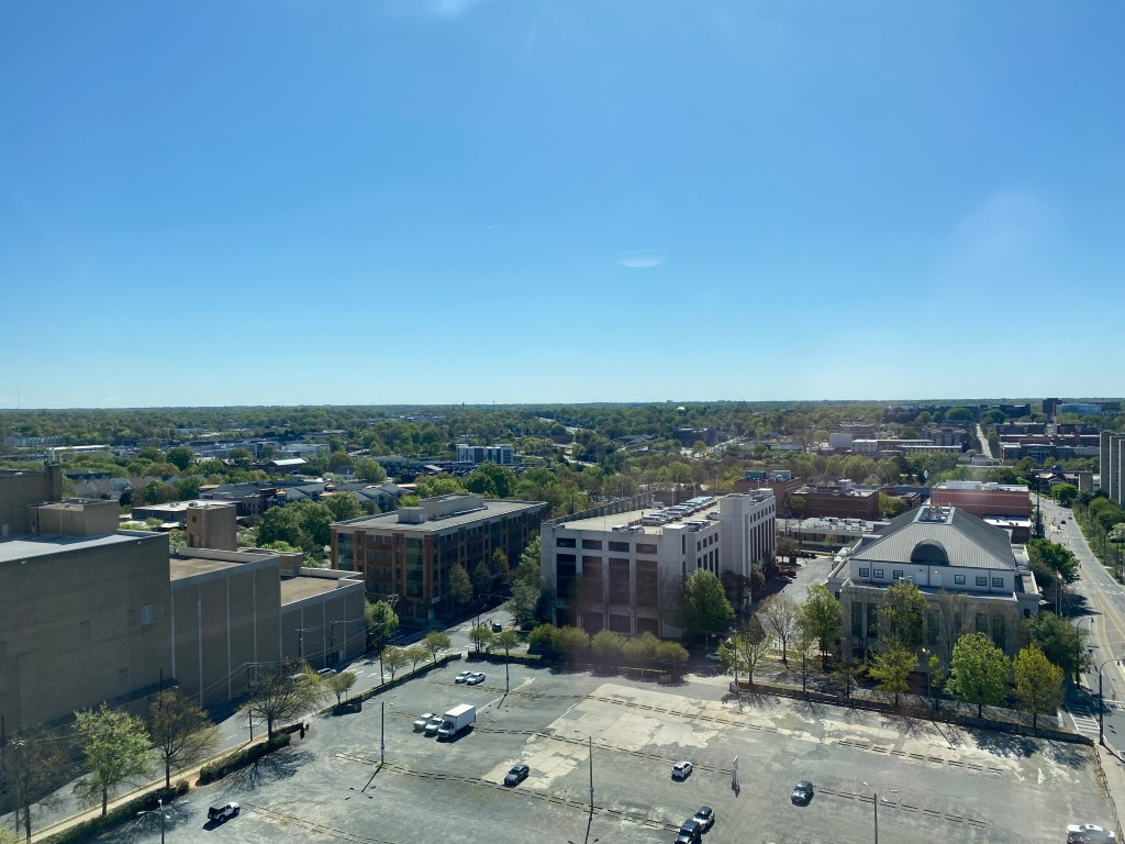
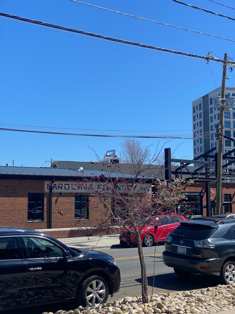
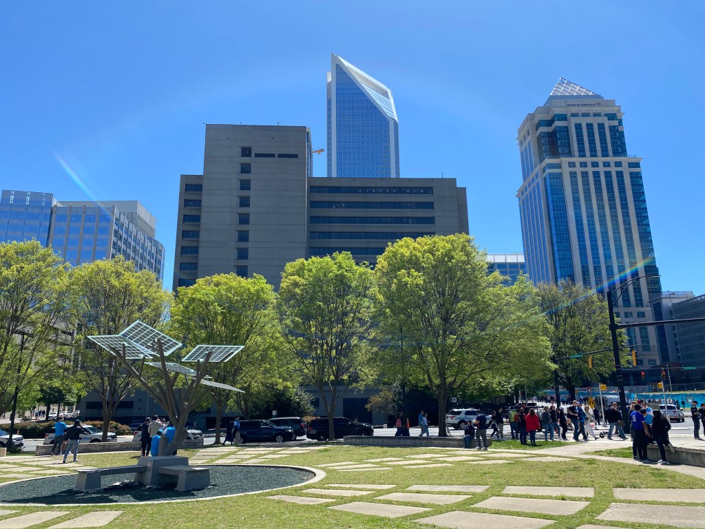
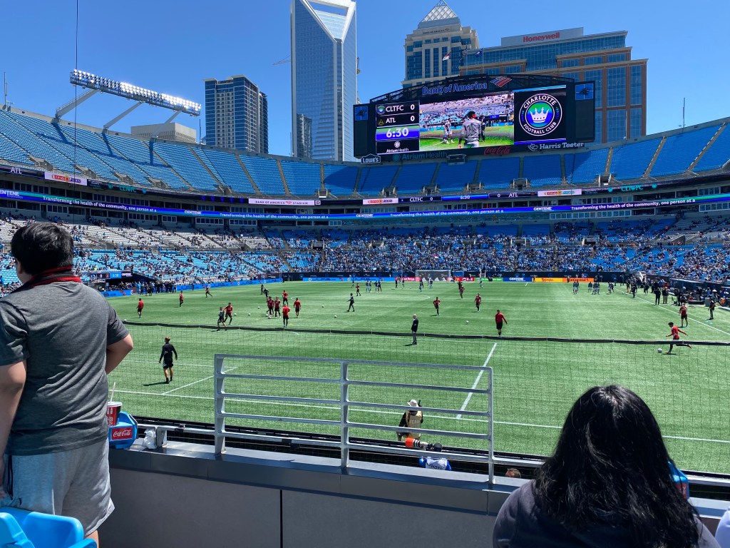
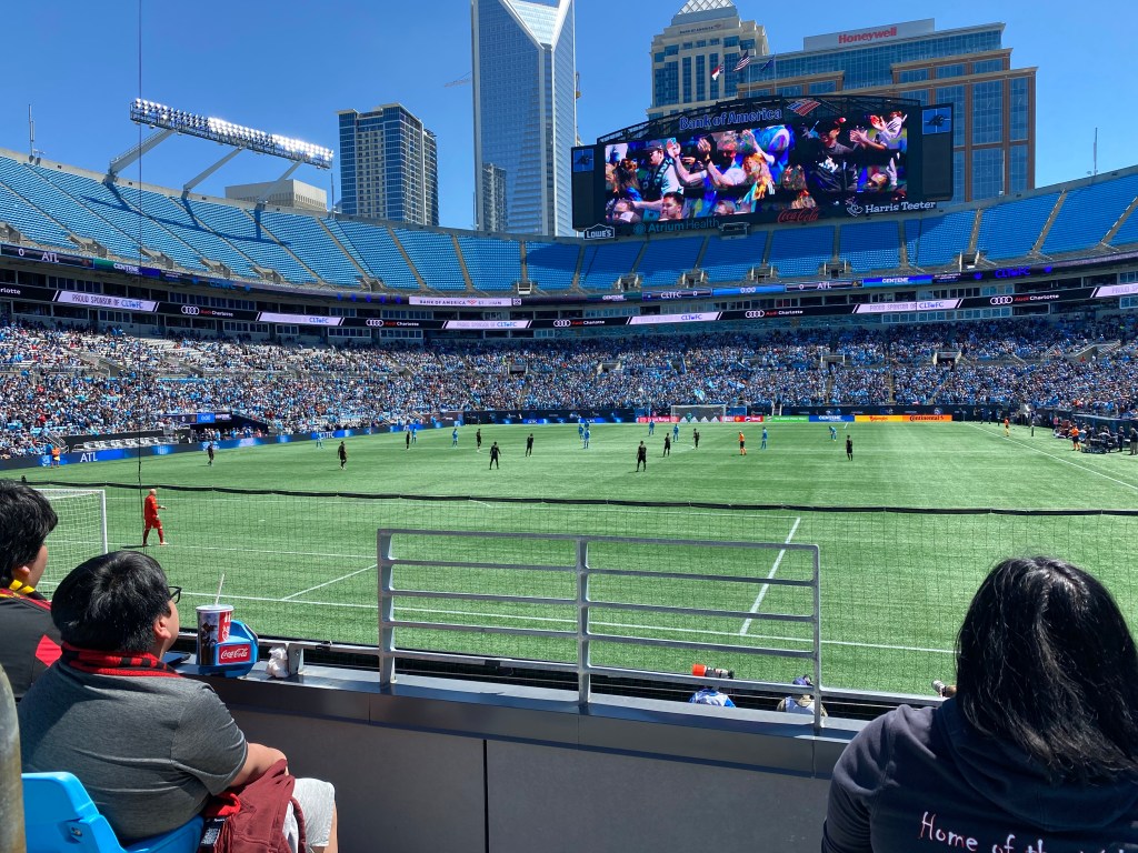
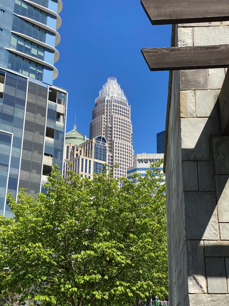
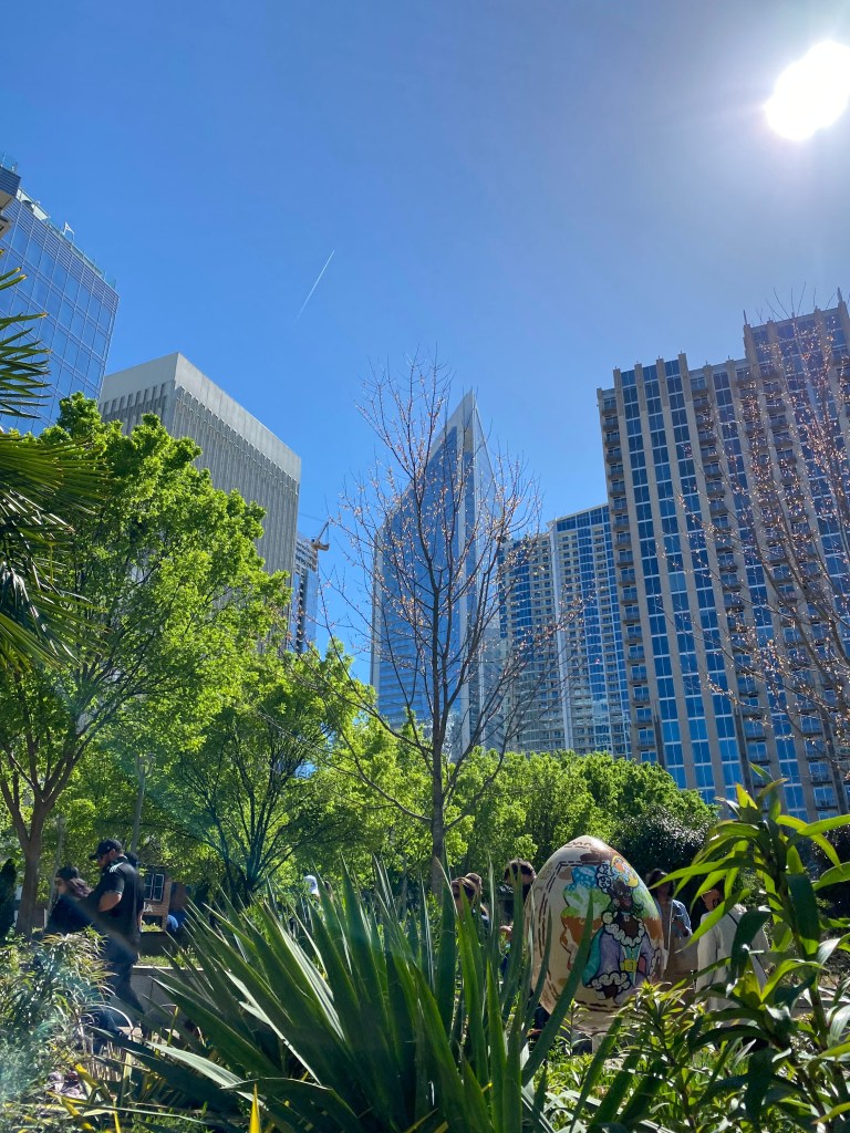
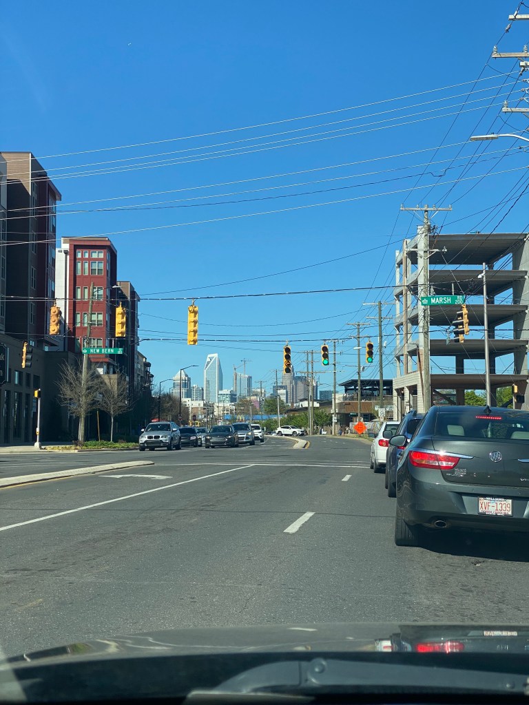
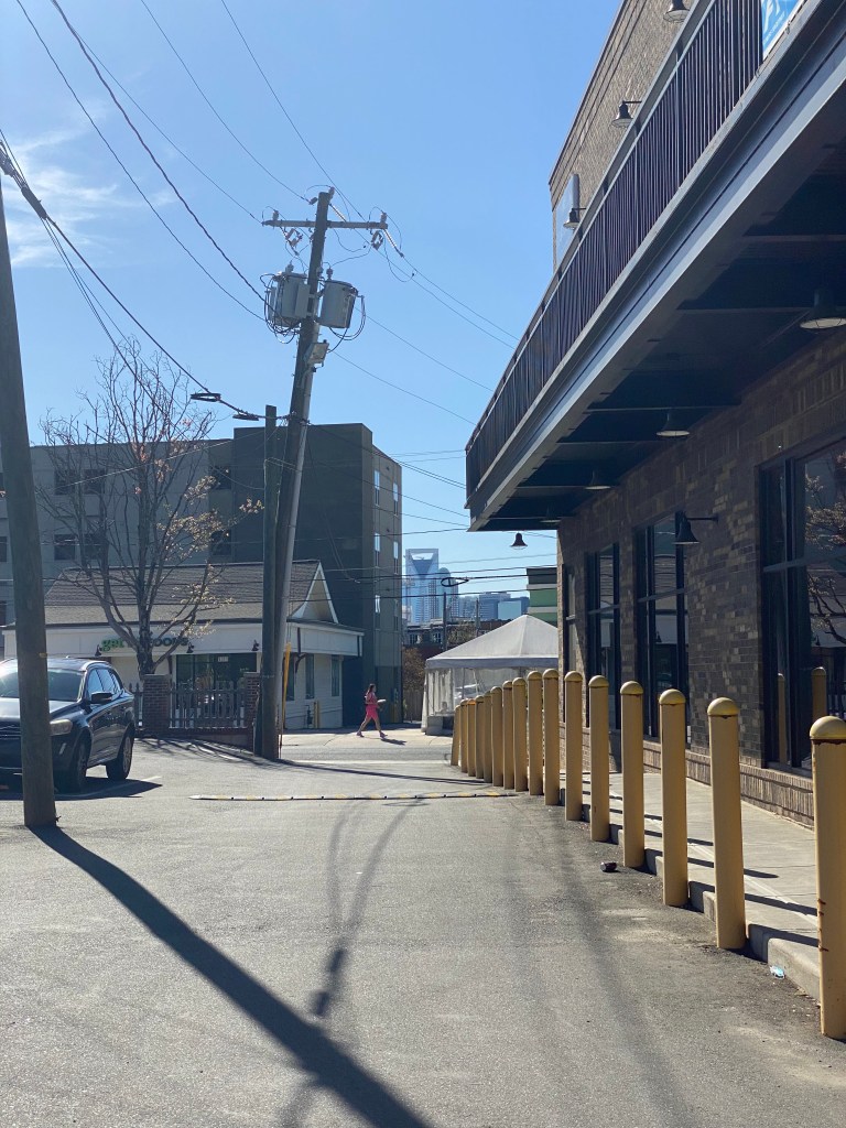
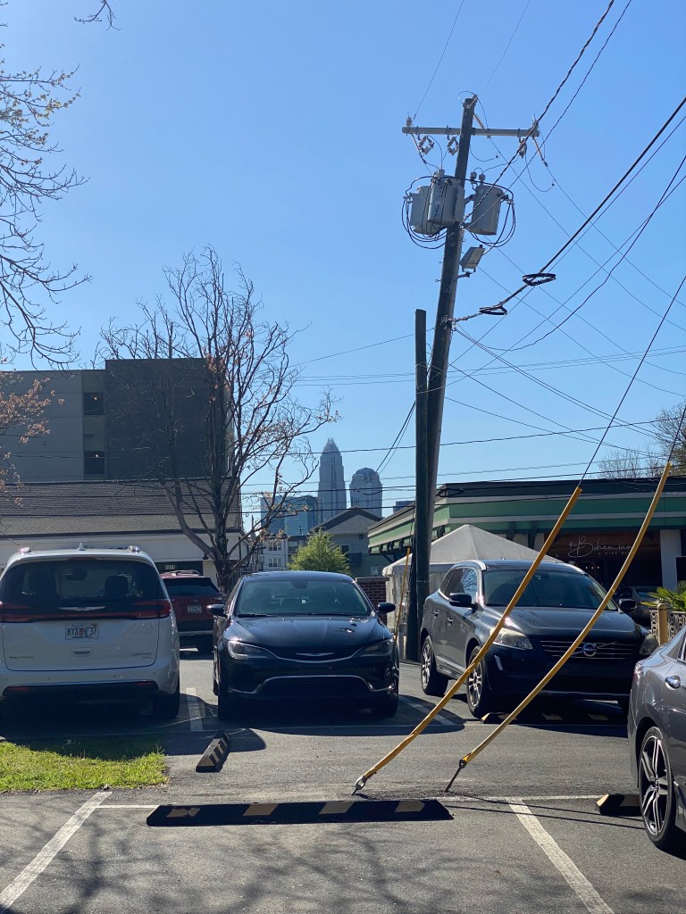
Some of the favorite shots I’ve captured of Charlotte. All shots were captured via iPhone.


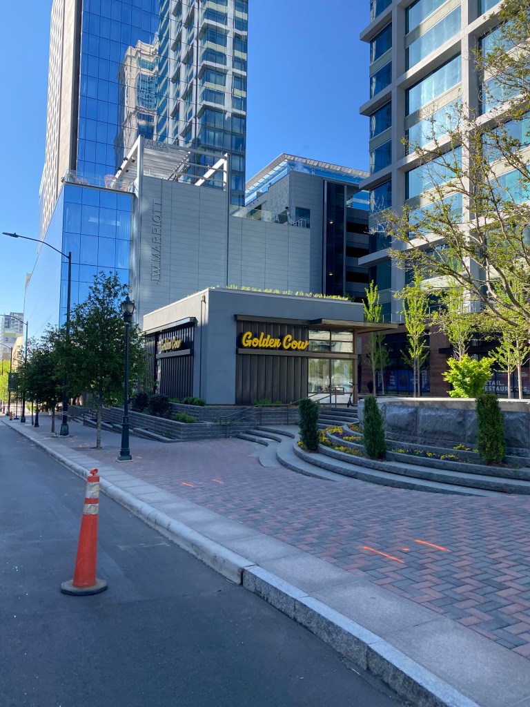
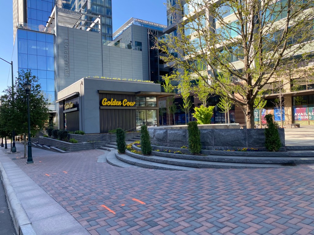


North Carolina’s Raleigh Central Prison and Governor Morehead School currently take up 100 acres of prime land less than 1/2 mile from the core of Downtown.

The City of Raleigh is home to many great parks. One of those parks is the historic Pullen Park which was the first public park in North Carolina and home to the 5th oldest amusement park in the US. Despite being less than a half mile from the core of Downtown Raleigh, Pullen Park is seemingly on an island and car-dependent.
Dorothea Dix Park is a 308 acre park just to the Southwest of Downtown that is slated for a massive overhaul as the North Carolina Department of Health and Human Services prepares to relocate. Unfortunately, Dix Park too is seemingly cut off from Downtown by the Central Prison and Morehead School.

Stitch Central would transform this underused land into 100 thriving acres of Greenspace, Apartments, Condos, Townhomes, Shops, Entertainment, Restaurants, and Retail. This would put everything Downtown Raleigh has to offer within walking distance of each other including: future commuter rail hub Raleigh Union Station, Dix Park, Pullen Park and NC State University.
When combined with the Trails over Rails plan: biking, walking, or scooting anywhere in Downtown Raleigh would be an ease.

There are five main components of Stitch Park.
The Northwest Quadrant with mostly Alley Entry Townhomes. The Northeast Quadrant with a mix of Townhomes, Condos, Apartments. The Central Park District featuring a massive Greenspace lined with corner Cafes and Shops. The Southeast Quadrant with Apartments and Condos. And finally, Southwest Quadrant with high density 12 story mixed use towers with ground floor Retail, Restaurants, and Entertainment under Condos, Apartments, Office and Hotel.

Quadrant One: Northwest

The Northwest Quadrant features roughly 200 Townhome lots with alley-entry garages. This makes way for tree-lined streets with wide sidewalks and inviting front porches making a walkable, urban neighborhood environment. To promote some affordability and diversity, a range of townhome types ranging from smaller two-story 1200 sq-ft units to massive four-story units with rooftop terraces.
Inspiration photo of a similar neighborhood in Atlanta.

This quadrant would also feature a seven story apartment building with roughly 100 units.
Quadrant Two: Northeast

The Northeast Quadrant features roughly 120 similar Townhome Lots. Along the railroad tracks, would stand a 150 unit seven-story apartment building and four-story micro condo buildings.
My inspiration of the micro-condo building would be a larger scale of these new build condos from Ashton Woods Homes.

Quadrant Three – Central Park

Quadrant three features a wide greenspace perfect for neighborhood events and concerts. A wide multi-use path leads walkers and bikers down the spine of the park from the Rail over Trail Path and Downtown or NC State. The corners of the greenspace would feature small shops and cafes similar to the setup seen below from Alpharetta, GA.

On either side would be a pair of tree lined streets and park facing Townhomes. Moving South toward Western Blvd and Dix Park, more greenspace is backed by Loft like Townhomes over Retail similar to this setup along the Atlanta Beltline.

Advancing south toward Western Blvd a decorative Pedestrian Bridge invites users to Dix Park.

Quadrant Four – Southwest Quadrant

Quadrant four is home to a trio of seven story apartment and condo buildings with underground parking. The roughly 300 units would have easy access to greenspace and all that Dix Park will have to offer.
Quadrant Five – Southeast

Quadrant five is the epicenter of the commercial side of things. Inspired by the Wharf District in Washington DC, there would be six blocks of buildings ranging from seven to twelve stories.


All of the buildings would feature ground floor retail targeted to Restaurants, Shops, Entertainment venues such as theatres/music halls, grocery, and services. Multiple pedestrian only corridors would give the vibe of an urban environment and underground parking would ensure that space is maximized.
The upper floors of the buildings would feature a mix of Hotels, Office space and more apartments and condos. The buildings would offer sweeping views of Dix Park, Pullen Park, or Downtown depending on the orientation.

In total, my plan would transform the area into a booming district with over 300 townhomes, and 1000 apartments and condos. The added density would be a major win for the future of Downtown Raleigh. Perhaps more importantly however, would be the added connectivity with Downtown Raleigh, Dix, and Pullen Parks.
In the coming weeks, I hope to add some 3-D modeling to the plan as I learn the Sketch-Up software.
Phil Veasley
The first two parts of the Connecting Downtown Raleigh series took a look at access from the East as well as the possibility of adding parks and trails over the railroad tracks. Part three of the Connecting Downtown Raleigh series examines the Southern extents of Downtown.
Currently, there are two direct routes in and out of Downtown to the South: US 70 / 401 / S. Saunders St and Hammond Drive. Both are currently six-lane urban corridors that aren’t pedestrian or dense development worthy. Wilmington St also extends out of Downtown but has no access to I-40 and not much else going on.
There are currently plans for a large development straddling I-40 and S. Saunders street titled appropriately, Downtown South. There are hopes that this will spur other development in this section of the city.
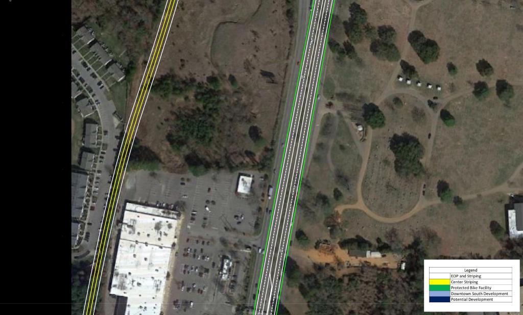
My plan would help facilitate development as well as give S. Saunders St and Hammond Dr a safer, bike and pedestrian urban boulevard feel. It would also enhance access to and from Downtown by constructing a three-mile limited access connector from the current junction of US 70 and US 401 to MLK Blvd.
Before we dive in to a detailed look at the plan, explore the interactive Google Map by clicking on the image below.
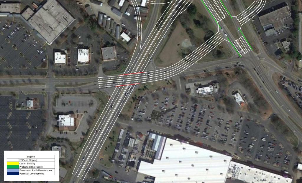
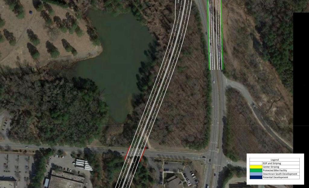
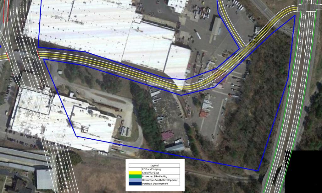
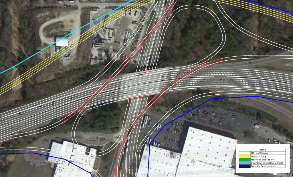
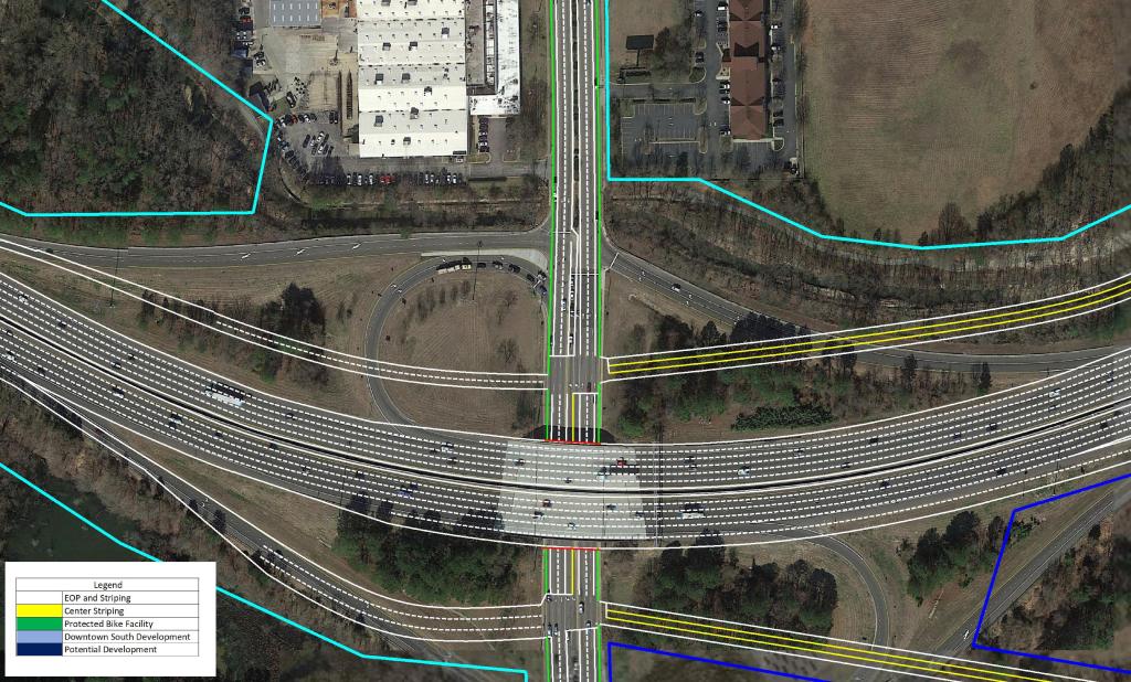
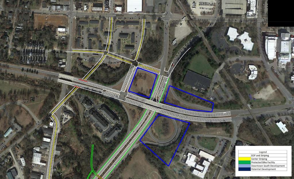
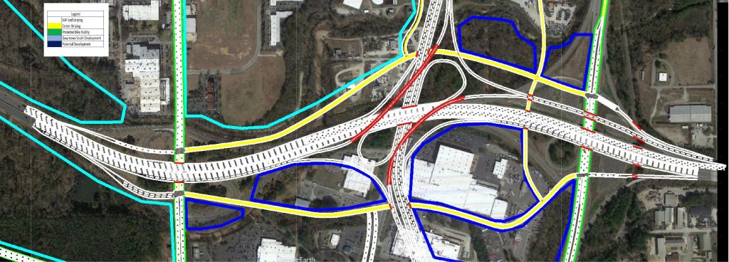
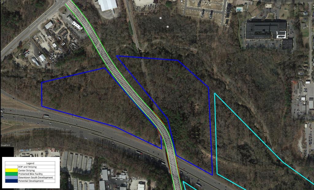
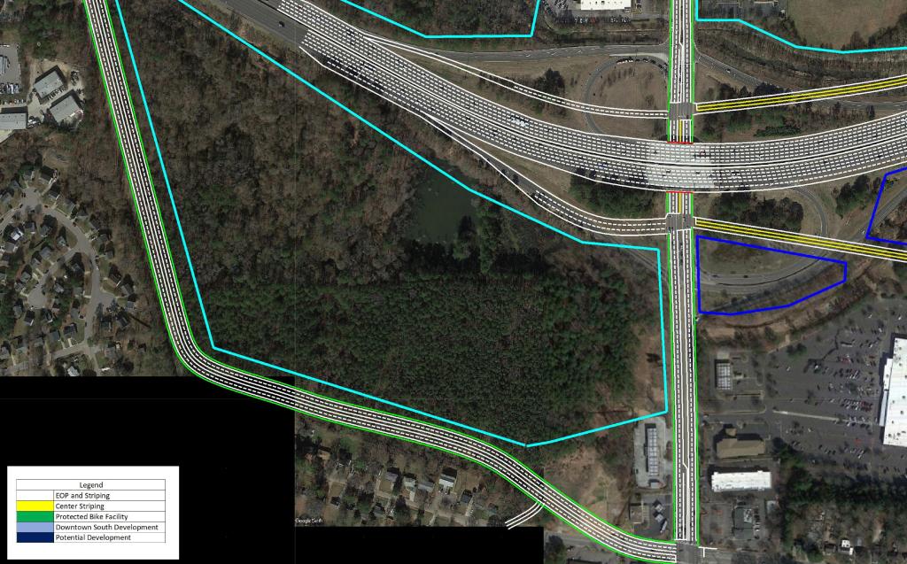
US 401 Downtown Connector
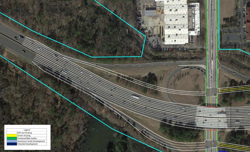
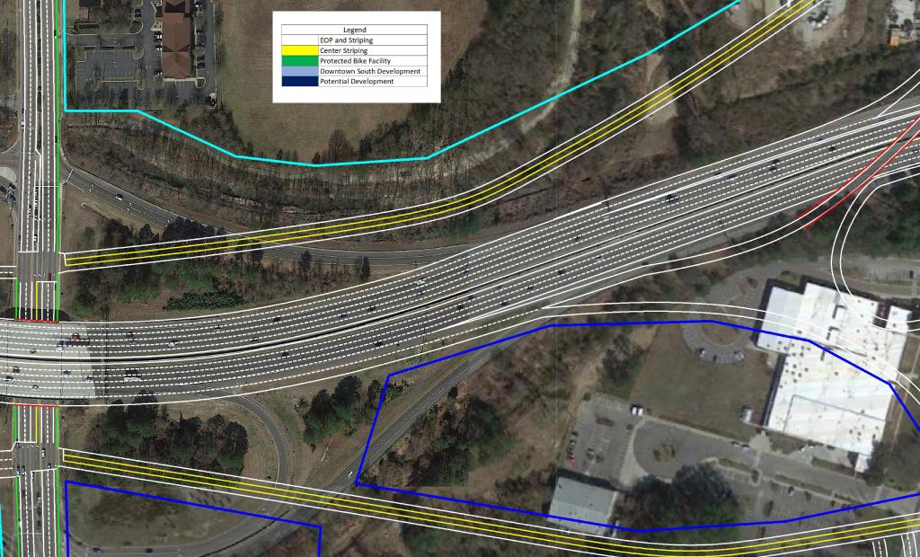
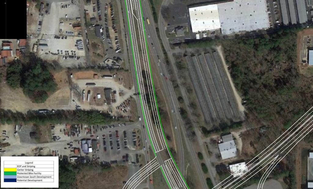
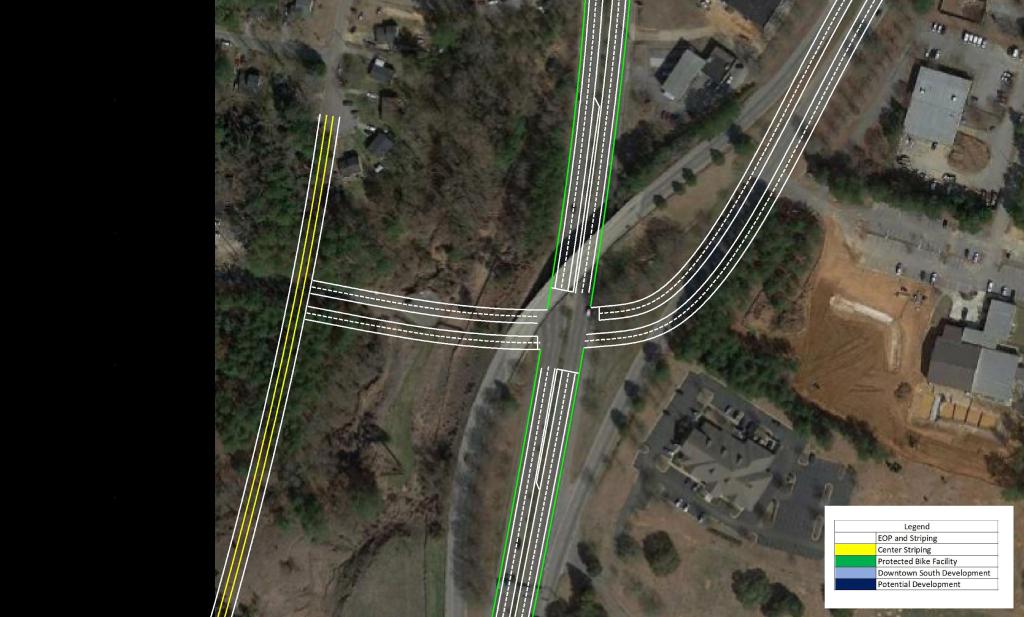
The focal point of the plan features the US 401 Downtown Connector. Currently, US 40 and US 70 merge just South of Tryon Rd to begin their approach to Downtown Raleigh to form S. Saunders St.
My plan would extend the current alignment of US 401 Northeastward past US 70 with a Partial Cloverleaf interchange. After passing Tryon Rd and Rush St with grade separations and briefly joining the current alignment of Hammond Rd, the connector would have a full interchange with Rush St.
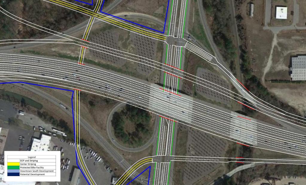
North of Rush St, an auxiliary lane would be added to help with the merge and diverge of the I-40 Interchange. The I-40 interchange is aligned as a Directional / Cloverleaf hybrid.
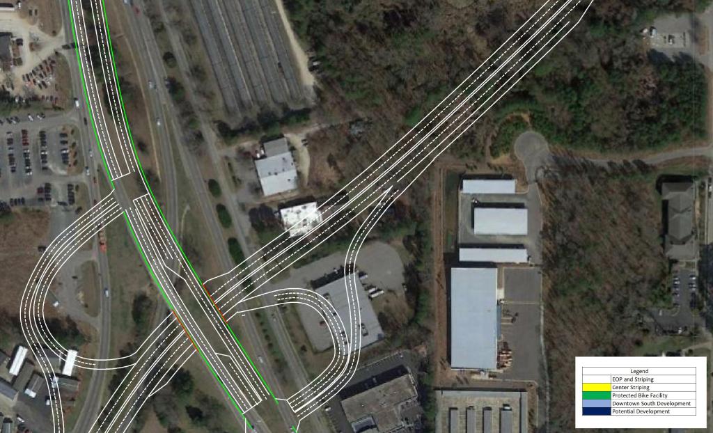
North of I-40 as the route approaches Downtown, grade separations are present City Farm Dr and Hoke St extension. In order to ensure minimal queuing in the AM Peak, the third lane from I-40 would be carried to the signal at MLK Blvd.
Although the route of least resistance is planned, a moderate amount of Right of Way – including a few factories – would be required.
View the conceptual drawings below by clicking through the pictures.
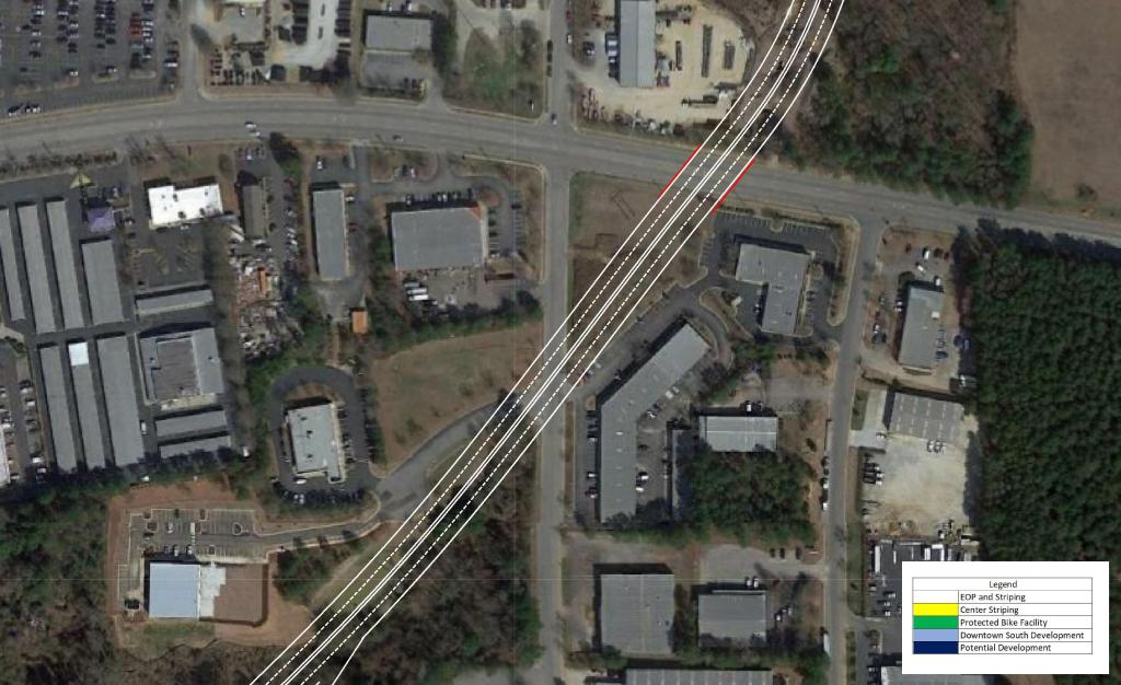
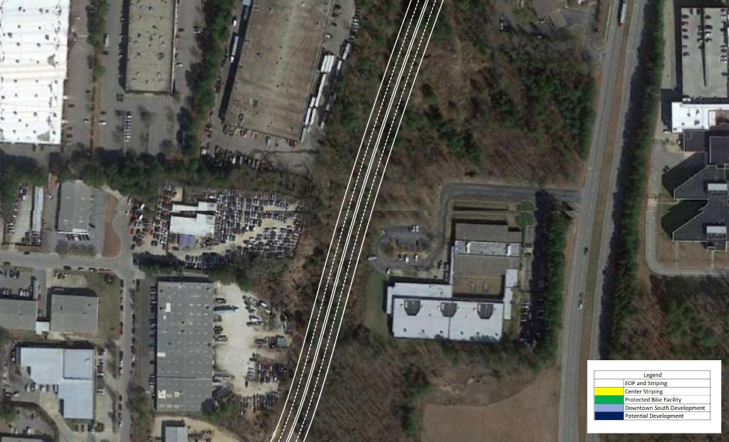
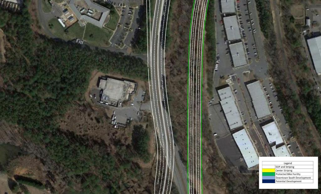
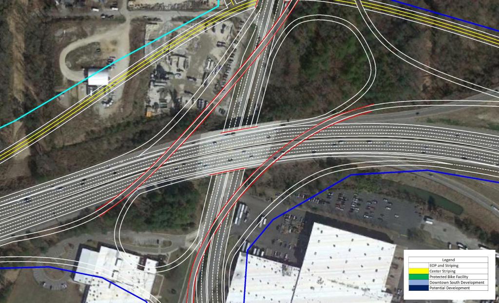
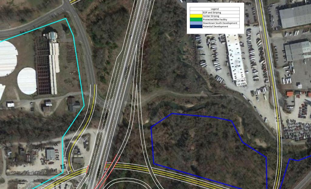
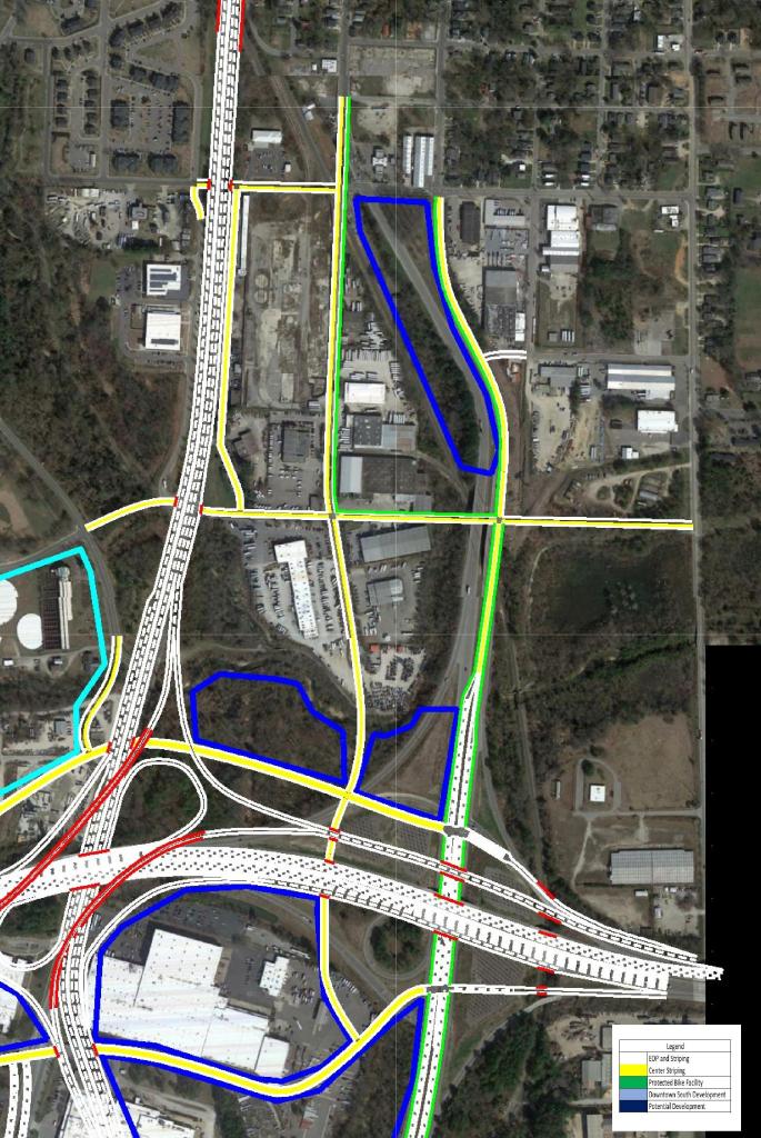
I-40
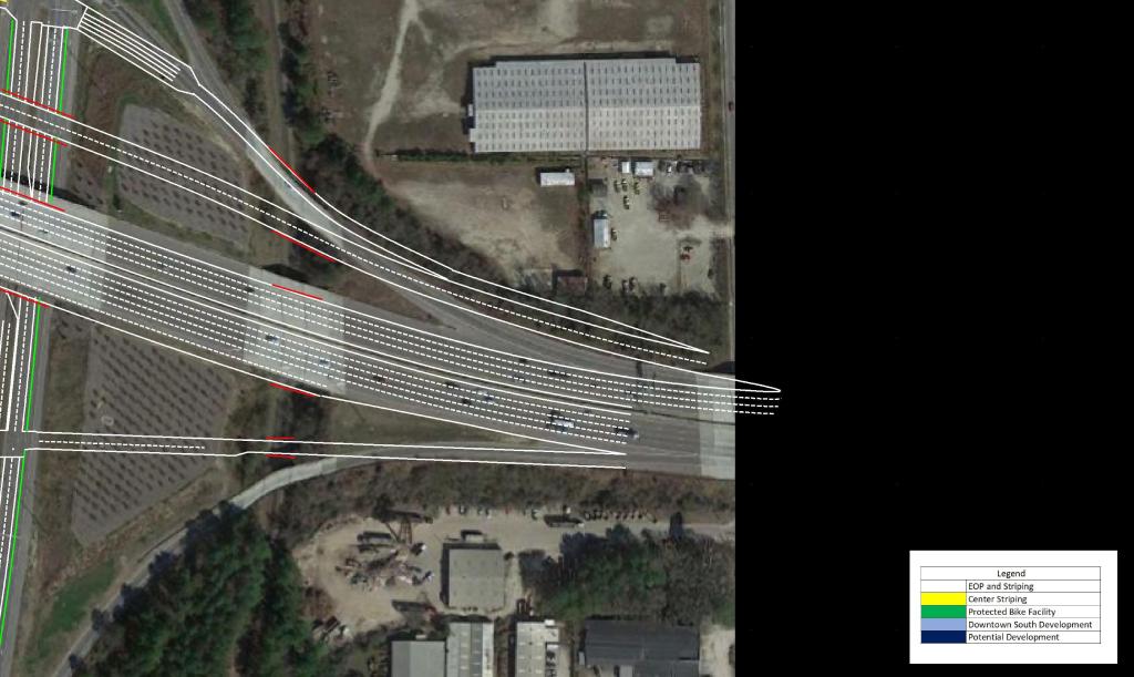
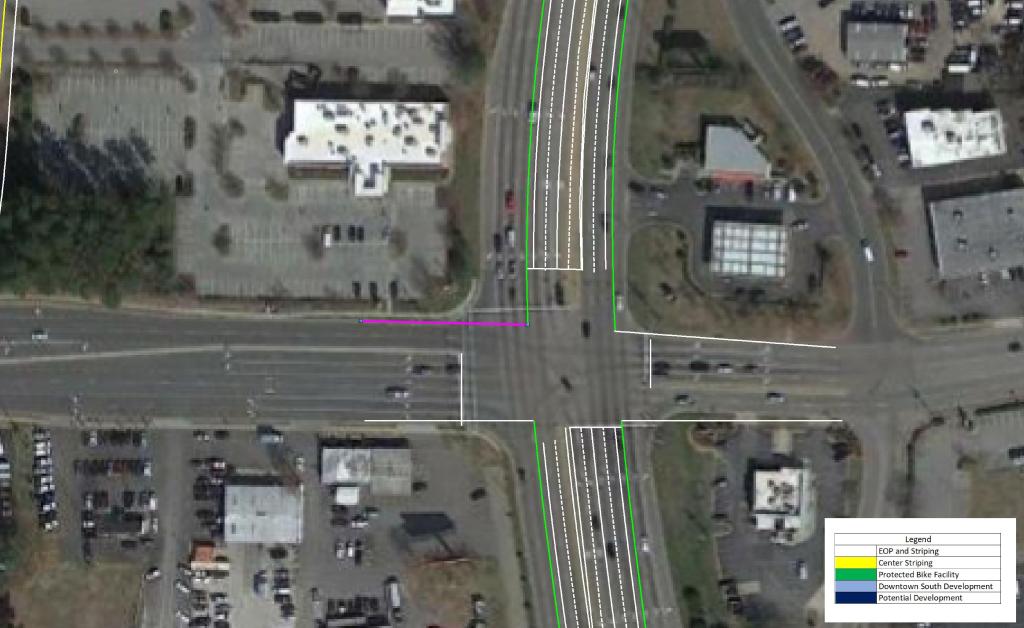
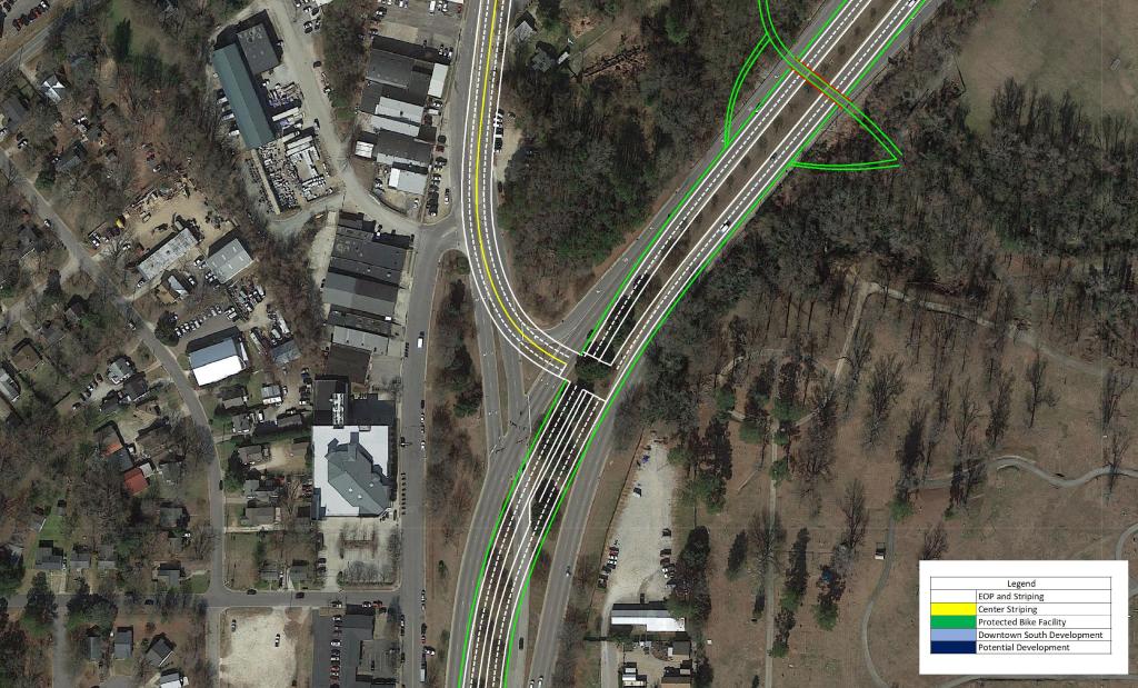
In order to tie into existing conditions with the new interchange, a few changes would have to be made to I-40 as well.
Existing exits 298 ( US 401 / US 70 / S. Saunders St) and 299 (Hammond Dr) would be converted to half-diamonds with a frontage road connecting the two roads. I don’t foresee this being an issue volume wise, because most traffic to and from Downtown and South will be using the US 401 Connector. This would also open the frontage roads to development.
View the conceptual drawings below by clicking through the pictures.
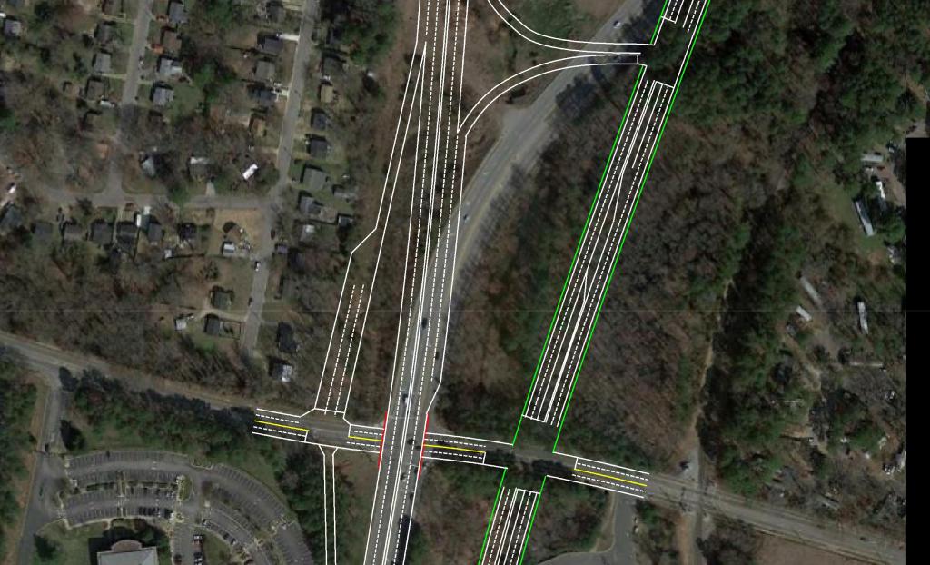
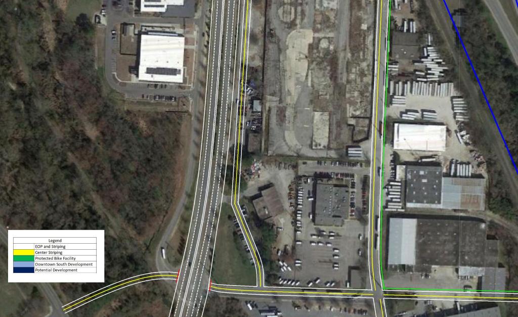
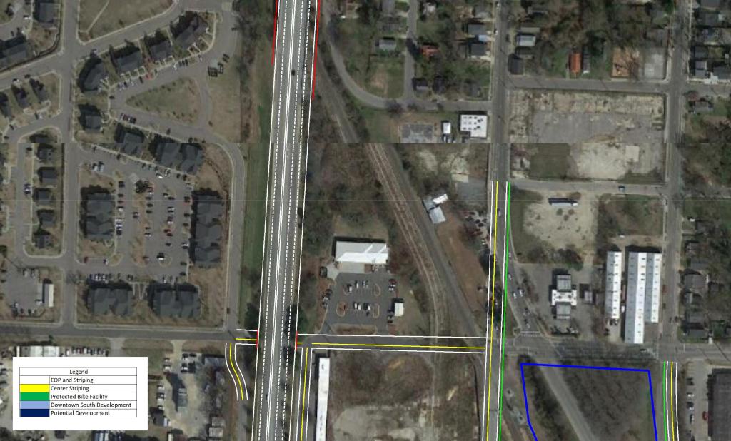
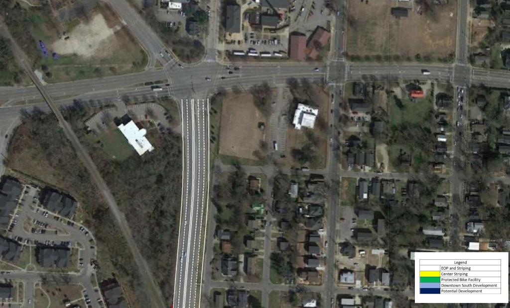
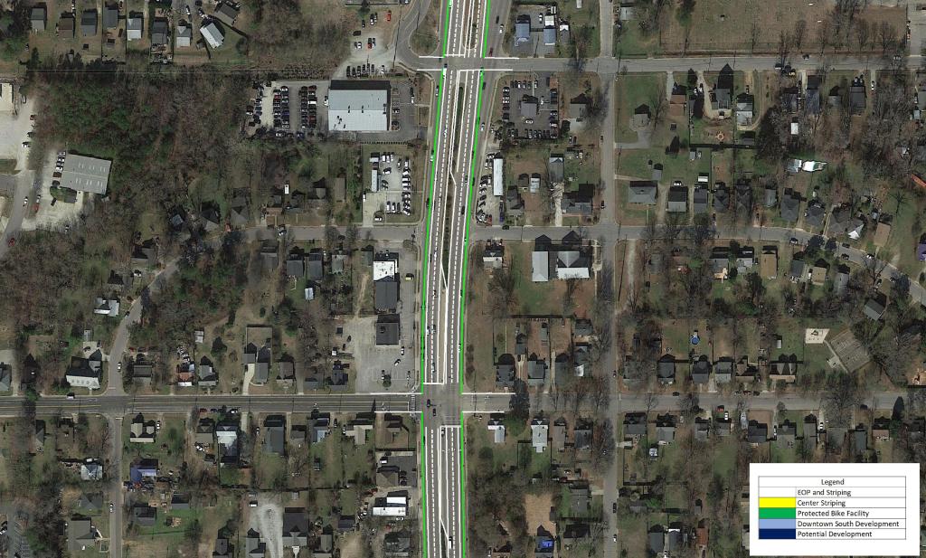
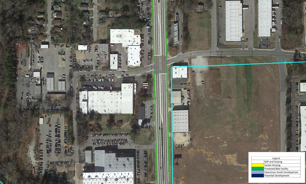
South Saunders Street
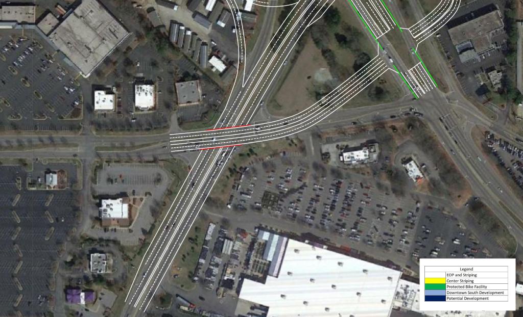
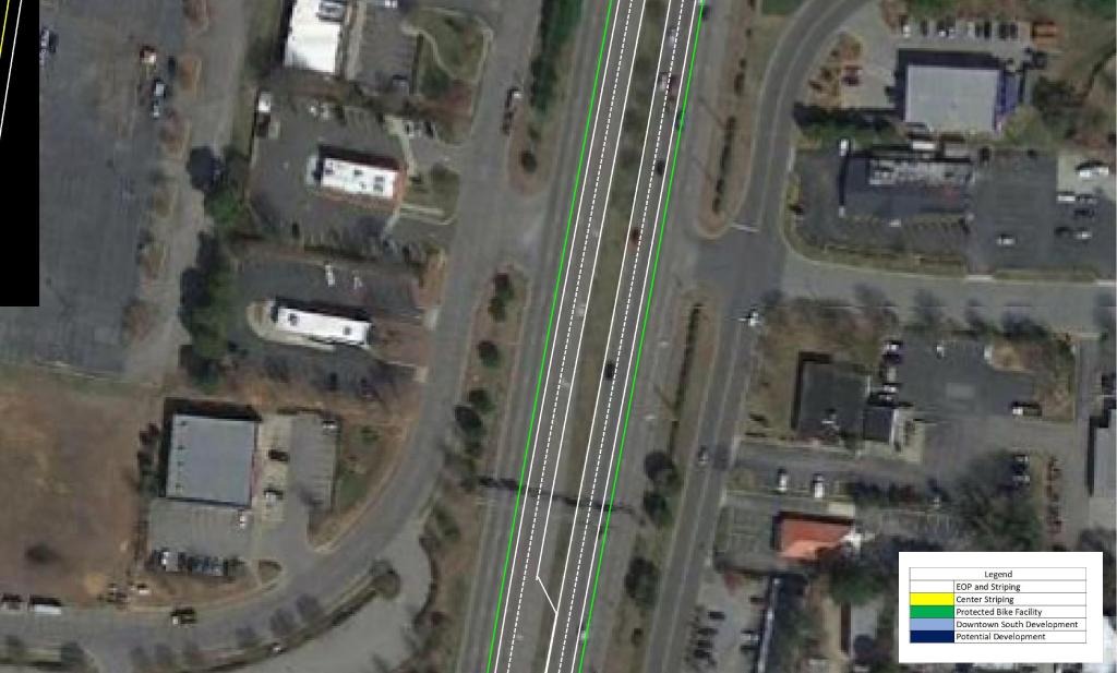
S Saunders St is the primary North – South route in, out, and through Downtown Raleigh. It exists as the primary vehicle and freight route. This leads to a busy corridor that has discouraged development on the fringe of Downtown.
With the vehicles heading in and out of Downtown diverted to the US 401 Connector, the opportunity presents itself to give S Saunders St the feel it deserves.
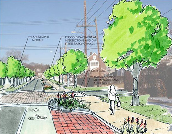
I propose reducing the street from three lanes in each direction to two as well as constructing dedicated bike lanes, and 8′ sidewalks.
An example of how I imagine S Saunders St can be seen in the image below.
These measures should be paired with a reduction in speed limit along the corridor. This would promote the possibility of urban, dense, and walkable development in the area. As Downtown continues to quickly grow, S Saunders St will continue to become more congested and less likely to see urban development.
View the conceptual drawings below by clicking through the pictures.
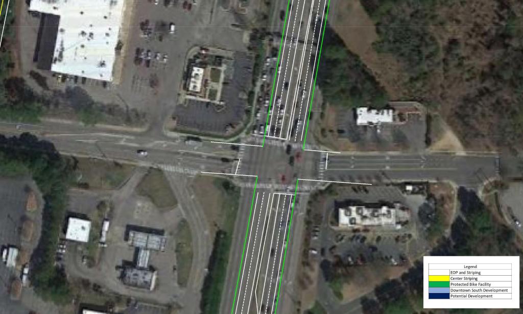
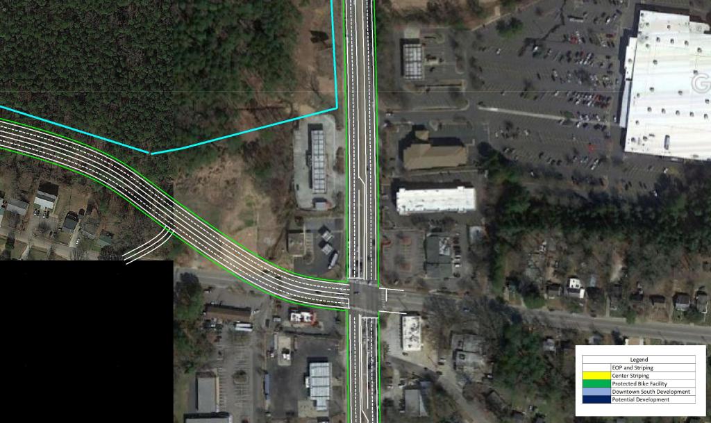
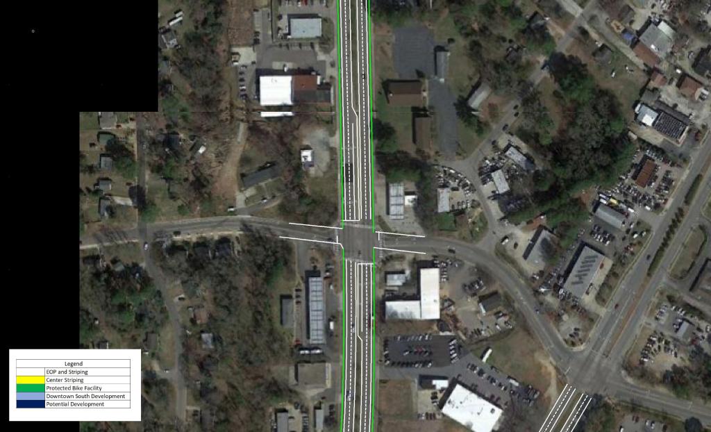
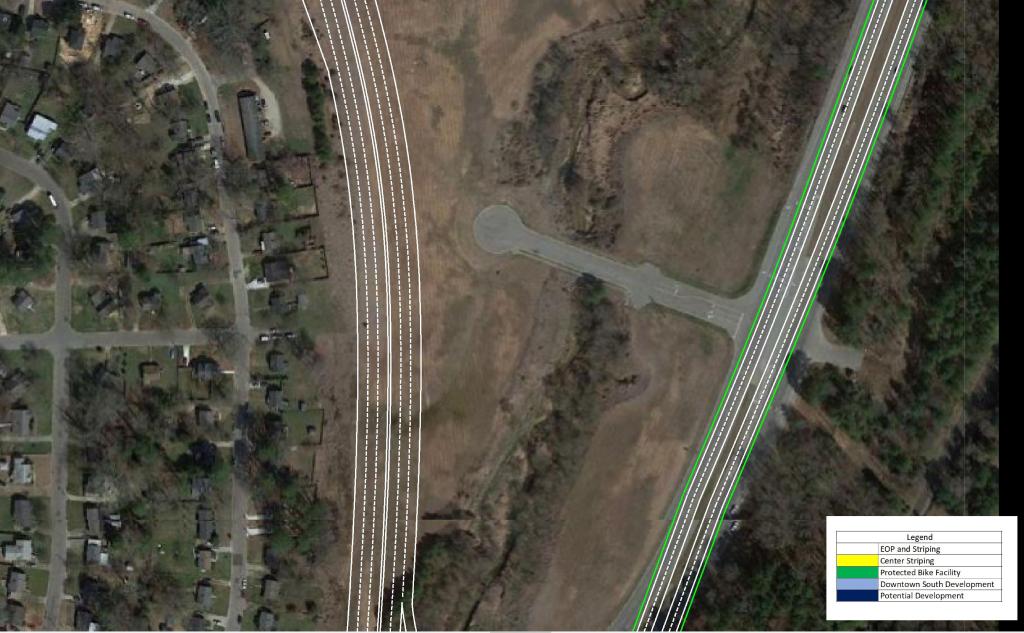
South Park Grid
The street grid South of Downtown Raleigh is severely lacking. There are plans currently to convert Blount and Person St in Downtown to a pair of two-way streets. My plan would take this a step further and extend Blount St to the South to the proposed frontage road. It would also continue the road diet down Hammond Drive toward I-40 as a two-way road with protected Bike Lanes. From I-40 southward it would become a 4-lane road with Bike Lanes until tying into existing conditions around Chapanoke Rd.
Several other new connections would further enhance the gird south of Downtown as well as ensuring greater connectivity even with the addition of the US 401 Connector.
Centennial Parkway Extension
The Centennial Pkwy would enhance access to and from NC State University as well as serving the future phases of the Downtown South Development.
The addition of a limited access facility may be looked at as a negative to some. But by doing this, the City of Raleigh can free up two clogged corridors and transform them to urban gateways as well adding to the urban street grid. In addition, dense development would now be viable in what is currently a vastly underserved area.
I would love to hear everyone’s thoughts on this plan. Please be sure to share with your colleagues and stay tuned for my next ideas!
Phil Veasley
Development within the Town of Wendell is certainly a hot topic right now. There are a lot of misconceptions about the growth Wendell is experiencing and how Transportation officials plan to keep traffic moving. With that said, I decided to overlay the town’s development map with the NC CAMPO 2050 Draft road improvement plan. This allows us to see not only where development is planned but also the proposed road and infrastructure plans that are also in place all on the same map. *Disclaimer: All lines are shown as approximate. Nothing is official unless communicated by Town Staff.
Check out the video describing the plan here:
Click the link below to explore the interactive GoogleMap.

As you can see by exploring the link, there is a plan to create a comprehensive grid system within the Town of Wendell. There is also a plan to combat many of the problem areas that exist today.
Bookmark this link https://www.google.com/maps/d/u/0/viewer?mid=1Oe2hdRr47MWbzN2QNd8m-XZ444LFgzmz&ll=35.787099160676675%2C-78.3798511382102&z=14 because I will continue to keep it up as projects present themselves as well as add more information about each project as I learn more.
Sources: https://ral.maps.arcgis.com/apps/webappviewer/index.html?id=96ce0056b372454a87af34c50616f0b0
Phil Veasley
The Wendell Falls Trail System currently contains nearly 10 miles of paved and unpaved trails. As the community continues to grow, the trail system should as well.
Explore the interactive Google Map below to see how I would propose building out the trail system to include the newly built phases of Wendell Falls.
https://www.google.com/maps/d/embed?mid=1Rh7qP3GQdacbBLFBWI0gYUVRx_UIg71w
My plan includes mostly unpaved trails for now but as I learn more about the process and how these are funded that could change. Although I’ve plotted the trails on an outdated aerial, all proposed trails stay within Wendell Falls / Newland owned land.
The proposed trails total roughly five miles and the majority follow existing sewer clearings and property buffers.

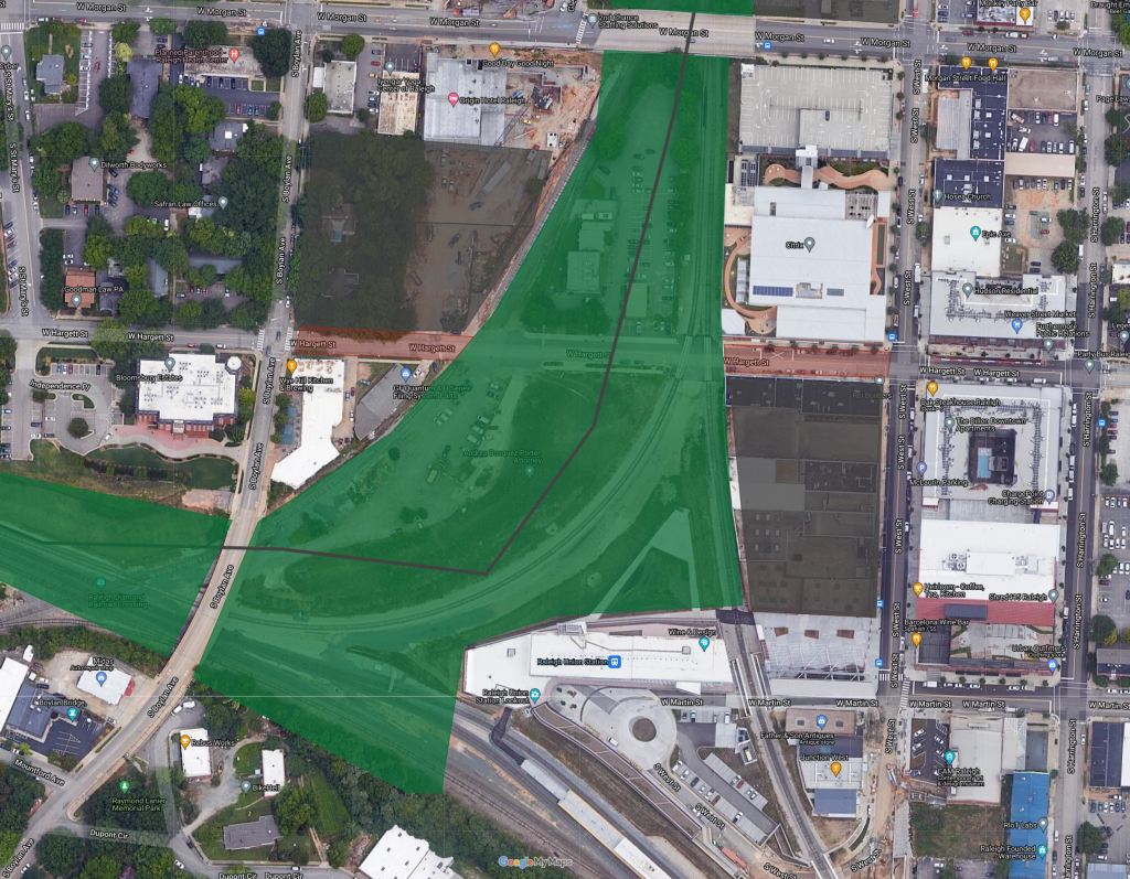
Part one of this series explored the lack of access approaching Downtown Raleigh from the East. This time, I took a look at what would happen if we capped our below grade railroad tracks and created over 25 acres of greenspace and trails.
Downtown Raleigh, like any other Downtown, has no shortage of railroad tracks. Thankfully, many segments of track through and adjacent to Downtown happen to fall below the grade of the surrounding land. This gives us an unique opportunity to cap the tracks and add to the city’s greenspace while connecting areas that are currently cut off from each other.
Currently there is a track coming from the West, two from the South, and two from the North.
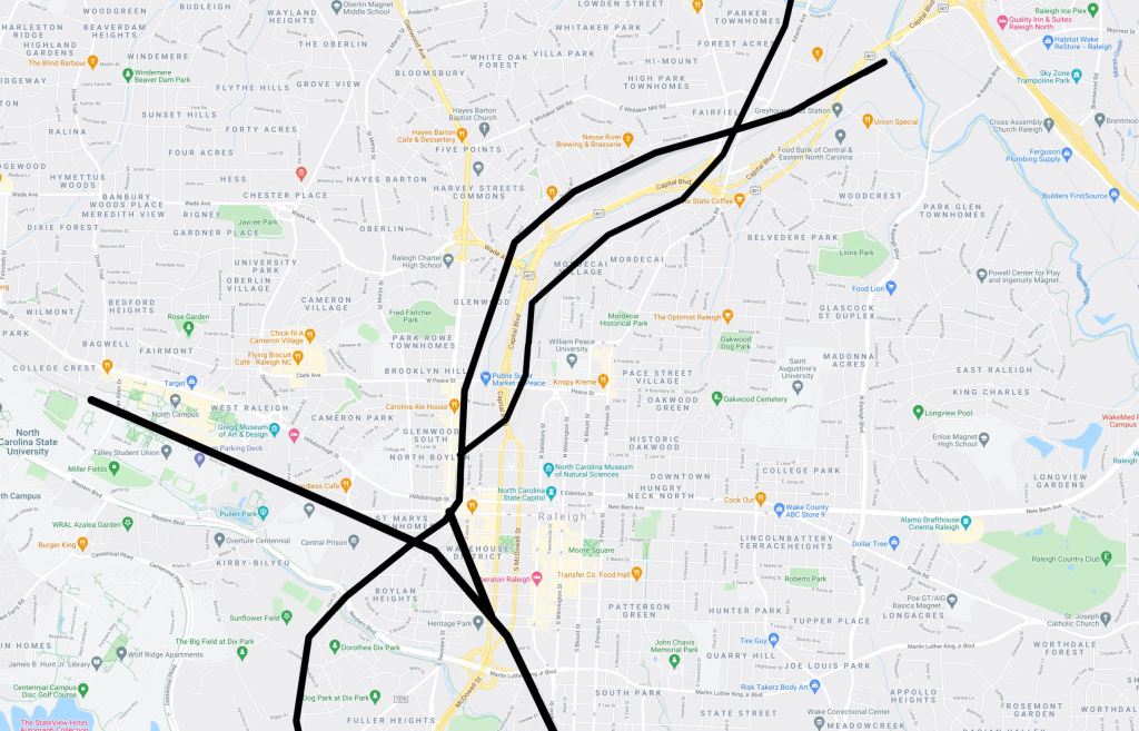
The first time I explored Downtown Raleigh, my lasting impressions were how segmented parts of Glenwood South were from the rest of Downtown and how much valuable land was wasted on the tracks junction known as the Boylan Wye.
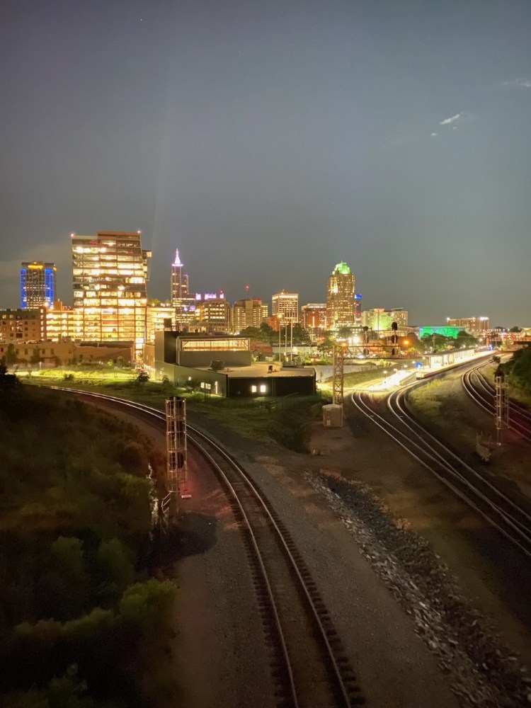
From the Boylan Bridge, visitors are treated not only to perhaps the best view of Raleigh, but also the sprawling tracks. But what if we capped all of those tracks? The result would be a 10 acre park in the heart of Downtown.
For an interactive look at the map below please visit: https://www.google.com/maps/d/embed?mid=1UXzUZ7sxPGcbIY3TRzsdwEYEaUt1VzbT
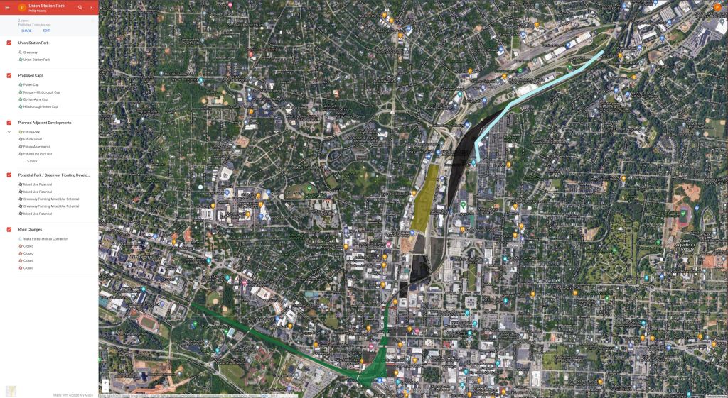
The centerpiece of this plan would be Union Station Park, named for the adjacent Multimodal Hub – Raleigh Union Station. The park would be a 10 acre oasis in the heart of Downtown Raleigh surrounded by office towers, hotels, shops, restaurants, and a mix of residences ranging from single family to 30 story apartment towers.
Union Station Park would fit perfectly into Owen Evans’ upcoming Artery plan. More information is soon to come but go ahead and sign up to stay in the know. https://raleighartery.org/
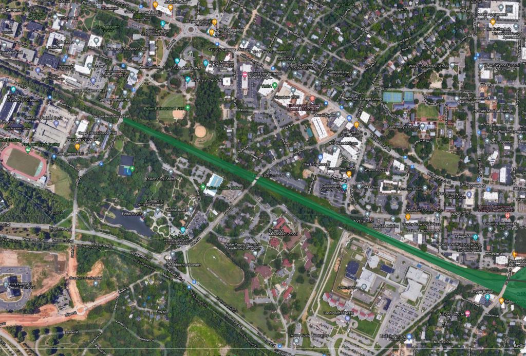
About a mile west of Downtown Raleigh sits the campus of North Carolina State University and Pullen Park. NC State and Pullen Park are both currently bisected by the rail line. As I mentioned earlier, the rail line sits below grade through Pullen Road, affording the opportunity to cap the track. This would provide the perfect opportunity to add a direct greenway connection from Union Station Park to Pullen Park and NC State. This would also help stich together several neighborhoods enhance the cohesiveness of Raleigh.
Just North of Union Station park, Morgan St and Hillsborough St cross over the tracks. These are two of the most important East-West streets in Downtown Raleigh vehicular and pedestrian wise. But as they are right now, there is only a typical 5′ sidewalk over the bridges. Capping the land between these two bridges would not only create an extra acre of greenspace but also further connect the Bloc 83 development and Glenwood South to Downtown.
Continuing North, another cap would stretch from Hillsborough St to just North of where Jones St currently sits.
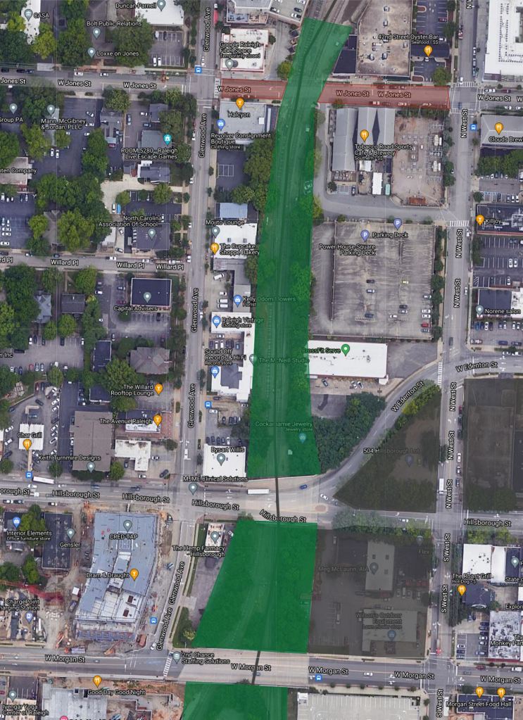
North of Jones St, the two tracks split. However, a couple of miles north, the tracks once again meet. This seems rather redundant, thus the opportunity to repurpose the eastern branch into a Greenway.
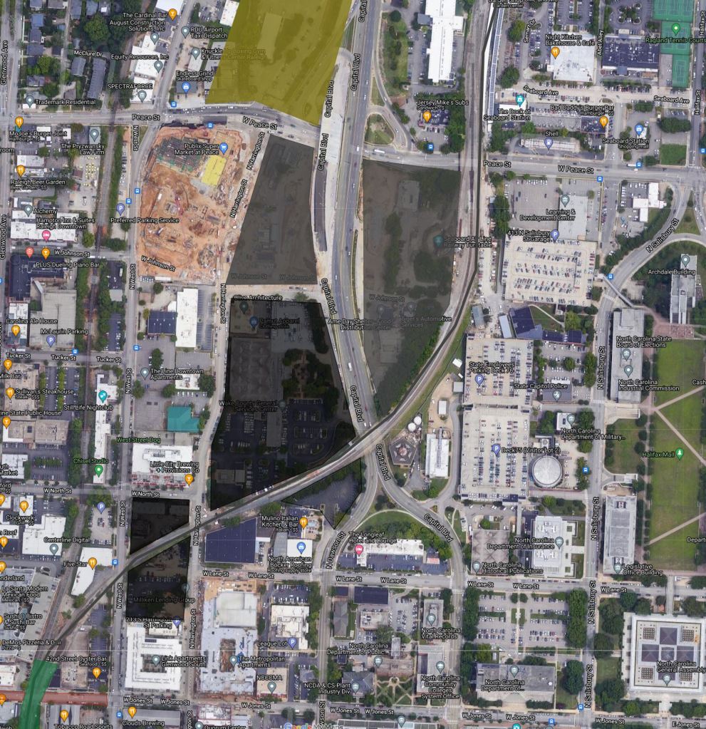
Straddling the proposed Greenway, are mixed light industrial facilities, underused parking lots, and proposed mixed-use developments. Building out these parcels would give this Greenway section a similar feel of the Eastside Beltline trail in Atlanta.
Further North the Greenway would straddle the current Railyard which would be a prime redevelopment site before connecting to the emerging Iron Works District. The adjacent Wake Forest-Halifax connector (more information to come in Part 3 of this series) would also help drive dense intown development.
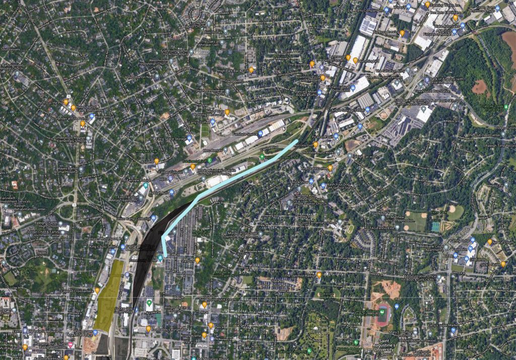
In total, this plan would add over 25 acres of greenspace and 3.5 miles of greenway trail to Downtown Raleigh. It would also connect NC State, the Union Station mulit-modal hub, Glenwood South, and the Iron Works District to Downtown as well as provide an economic driver for development.
Stay tuned for Part Three of my Connecting Downtown Raleigh series as we explore access into Downtown from the North.
The town of Wendell, along with the entire Triangle is experiencing major growth that shows no signs of stopping. Wendell Falls Pkwy is a road that was constructed to help facilitate that growth.
When the Wendell Falls development got off the ground, Wendell Falls Pkwy was constructed as a four-lane divided facility with a sidewalk and multi-use trail from I-87 to Martin Pond Rd from that point it reduces to a two-lane rural section to it’s tie-in with the existing Poole Rd and continues to it’s terminus in Downtown Wendell. The current speed limit is 45 MPH until entering Downtown Wendell where it reduces to 35 MPH.

Through Wendell Falls, Wendell Falls Pkwy has several intersections. The current state of those intersections is as follows
Wendell Valley Blvd: Unsignalized with no pedestrian accommodations. Soon to become a signal with coming development.

Taylor Rd: Current Condition: Signal with crosswalks. Note: Picture below is from before signal installation. This is the current only safe crossing option within Wendell Falls. The type of signal detection does not allow for golf cart crossing.

Douglas Falls Dr: Unsignalized two-way stop with no pedestrian accommodations.

Daniel Ridge Rd: Unsignalized two-way stop with no pedestrian accommodations. Turning left off of Daniel Ridge Road is currently very dangerous, especially in the peak periods. This is due to sight distance limitations and high levels of vehicles on Wendell Falls Pkwy. Vehicles are constantly seen waiting precariously in the median. Due to it’s location in the center of the neighborhood near the amenities, residents of Wendell Falls frequently have to run across all five lanes of traffic with little room to spare due to the aforementioned sight distance limitations.

Perhaps the biggest safety issue here, in addition to the high volume of pedestrian crossing is the sight distance. The photos below were taken from the stop bar Northeast bound and the assumed location of where a stop bar should be Southwest bound.


It is nearly impossible to see without either scooting up into the intersection or taking a chance and darting to the median. There have been many close calls here, vehicle wise and on foot.
Mill Station Dr: Unsignalized two-way stop with no pedestrian accommodations.

Martin Pond Rd: Signal with no pedestrian accommodations.

The Solutions
Alternative 1: (Preferred Alternative) – Signal at Daniel Ridge Rd, Signal Detection modification at Taylor Rd, R-Cut at Douglas Falls Dr, R-Cut at Mill Station Ln, Crosswalks at Martin Pond Rd.
Alternative 2: (If signal is deemed impossible) – Signal Detection modification at Taylor Rd, Midblock Pedestrian Hybrid Beacon on Wendell Falls Pkwy, Crosswalks at Martin Pond Rd.
Other Needed Improvement: Signal or Roundabout at the intersection of Wendell Falls Pkwy and Eagle Rock Rd.
Alternative 1:

Taylor Road signal detection: Currently, the only safe crossing for golf carts within the community is at Taylor Road. Unfortunately, the loop detection that is in place does not recognize golf cars. The detection should be swapped out for Radar, Pucks or a more sensitive loop detection.
To make Wendell Falls Parkway safer, R-Cuts should be considered at Douglas Falls Dr and Mill Station Ln. R-Cuts reduce potential conflict points. With the addition of the signal at Daniel Ridge, these R-Cuts would be seen as a good compromise. Douglas Falls left-turning vehicles could detour to the Taylor Rd or Daniel Ridge signal. Mill Station left-turning vehicles could detour to Chestnut Falls Rd or the Daniel Ridge signal.


With the pending developments on the corner of Wendell Falls Pkwy and Martin Pond Rd, crosswalks should be added to this intersection.

The improvements are necessary to ensure the safety of all users in the area. It is also imperative to stay within the mission of Wendell Falls being a walkable slice of urbanity. Two crossings within a mile with over 1400 houses and numerous commercial developments is unacceptable and does not accomplish the goal of being a walkable neighborhood.
Alternative 2:

Alternative two would still see the Taylor Rd Signal Detection and Martin Pond Rd Crosswalk improvements. If the signal were to be deemed unnecessary, a mid-block pedestrian hybrid beacon would be a possible solution.

This solution would provide better connectivity between the two sides of Wendell Falls. While a signal is greatly preferred to ensure safety, the mid-block crossing would at least bring us toward the goal of being one cohesive neighborhood.
Other Needed Wendell Falls Pkwy Improvements
Wendell Falls Pkwy is slated to be widening toward Downtown Wendell but it is still a ways off. The typical section would match the Wendell Falls portion with two lanes in each direction with a multi-use path on the Northern side.

There are a number of other projects slated for the Town of Wendell to ensure the extreme growth is able to be dealt with.
Currently there is one intersection – Wendell Falls Pkwy at Eagle Rock Rd – that sees significant queues in the Afternoon Peak Period. Recently, it was upgraded from a four-way stop to a basic signal with no turn lanes. Since there is a high volume and vehicles needing to turn left that have to wait causing the intersection to break down.
There is also a proposed development at this intersection which is the cause for much debate. The concerns include traffic but there are a couple of easy, inexpensive fixes to this intersection.
Quick fix 1: Turn lane improvements.

This option would add left and right turn lanes along Wendell Falls Pkwy along with an upgraded signal featuring protected-permissive left turn phases. It would also add a left turn lane to Eagle Rock Rd with a protected-permissive left turn phase. Along with the use of dynamic and adaptive signal timing, the queues along Wendell Falls Pkwy would likely disappear, even with development.
Quick Fix 2: Roundabout

This option would keep the flow moving in all directions with the addition of a Roundabout.
While these would only be temporary fixes until the road is fully widened, implementing either of these would provide great benefits to the quality of life within the Town of Wendell.
Phil Veasley
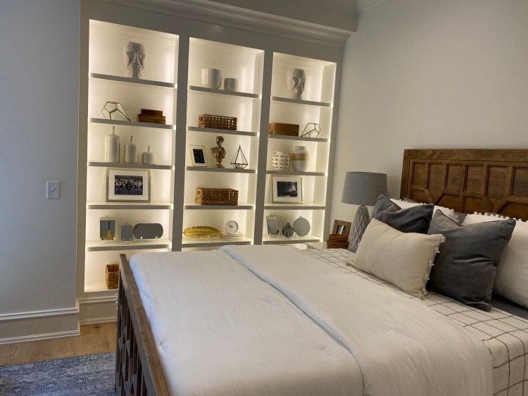
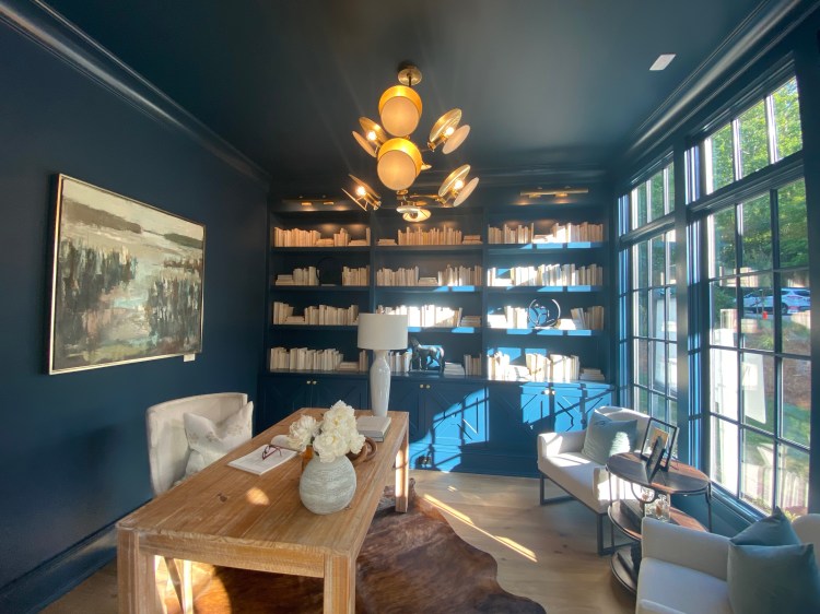
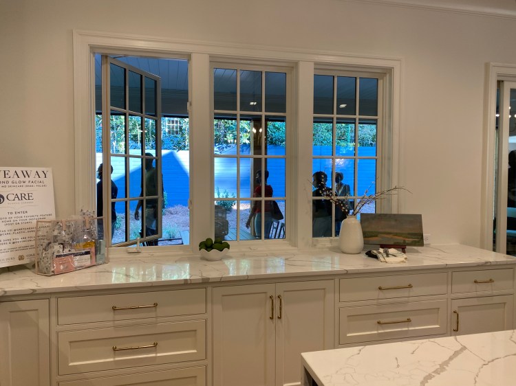
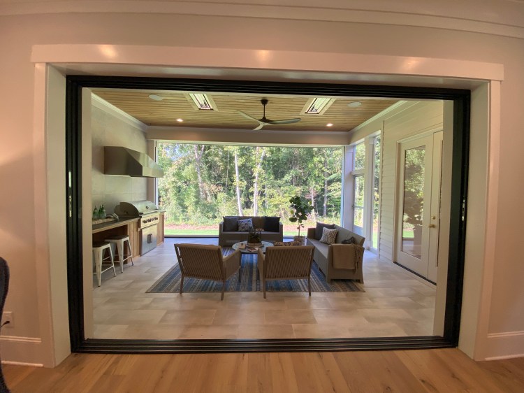
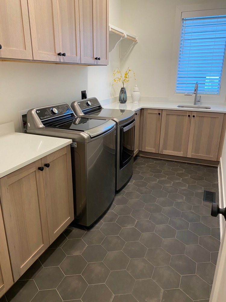
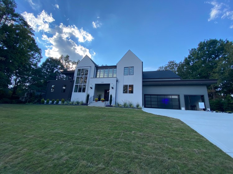
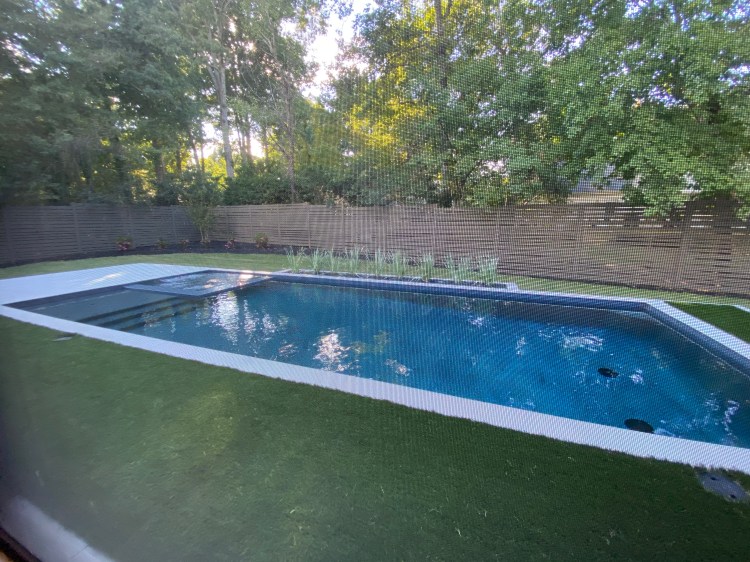
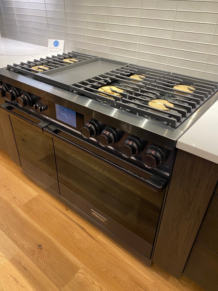
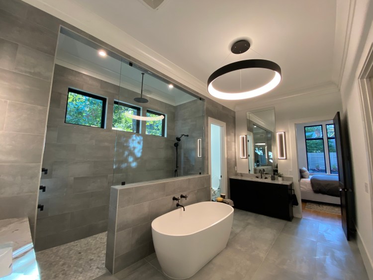
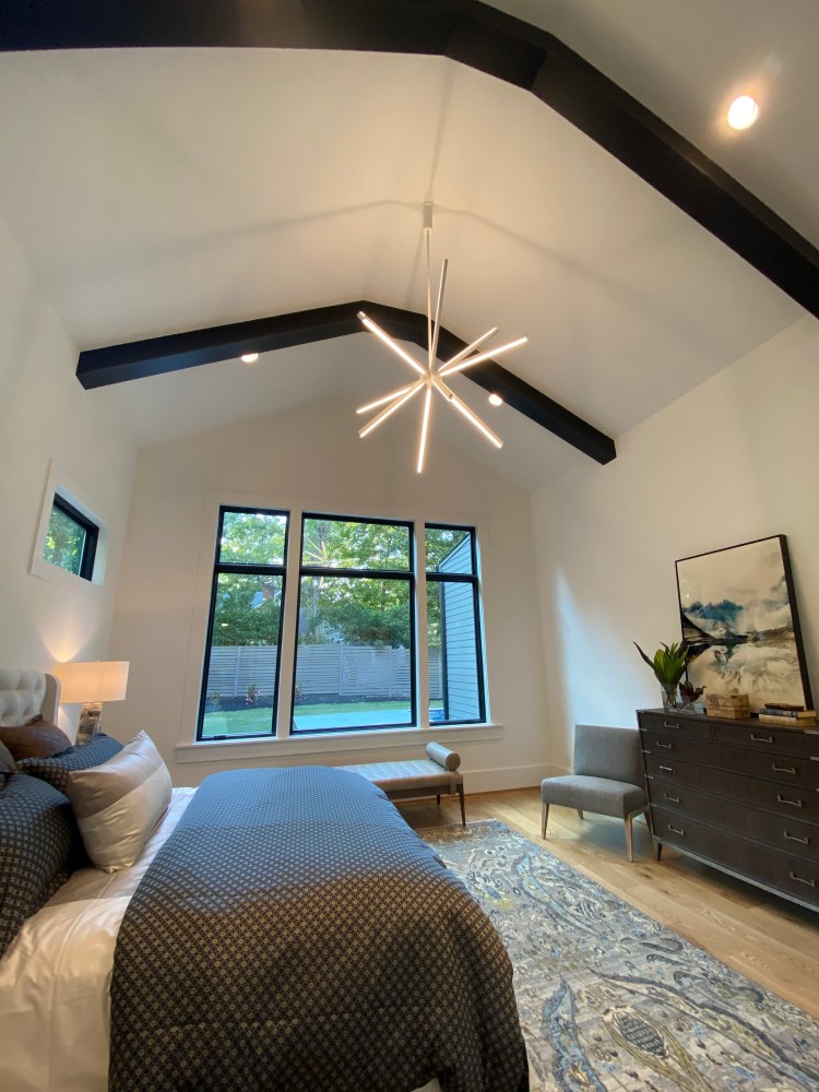
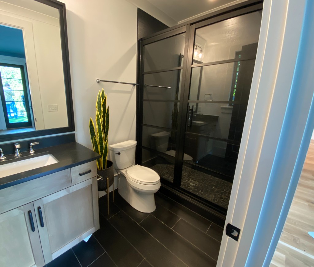
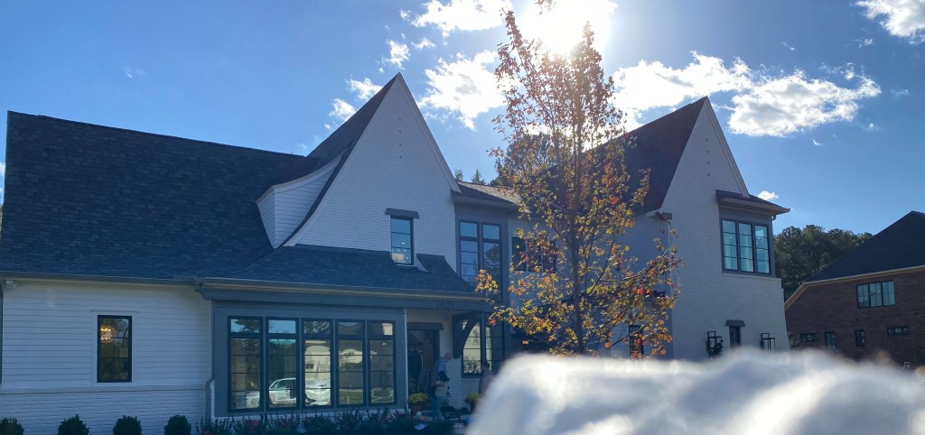
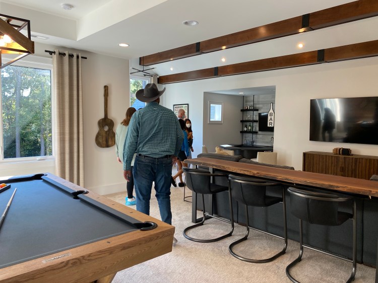
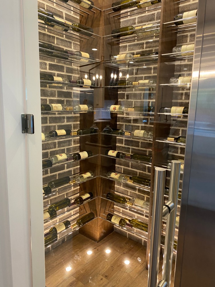
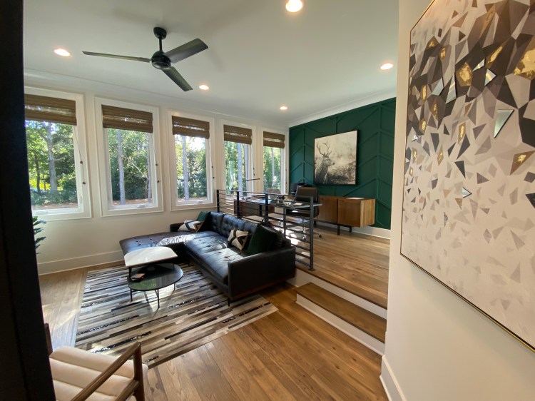
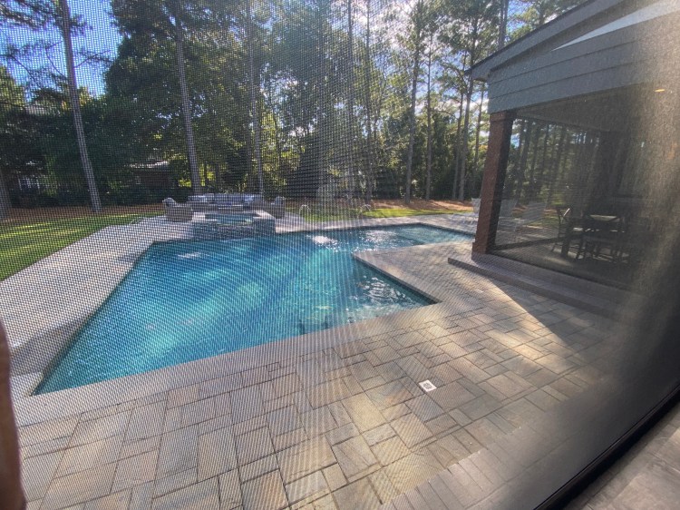
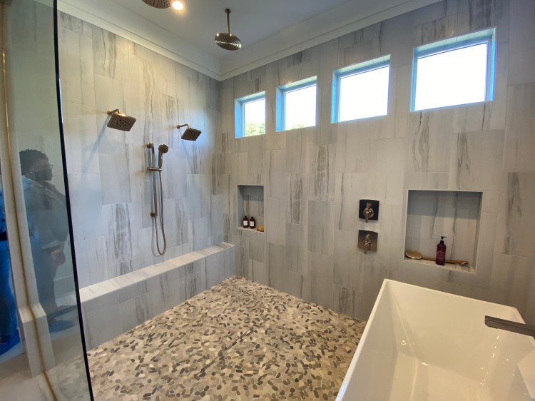
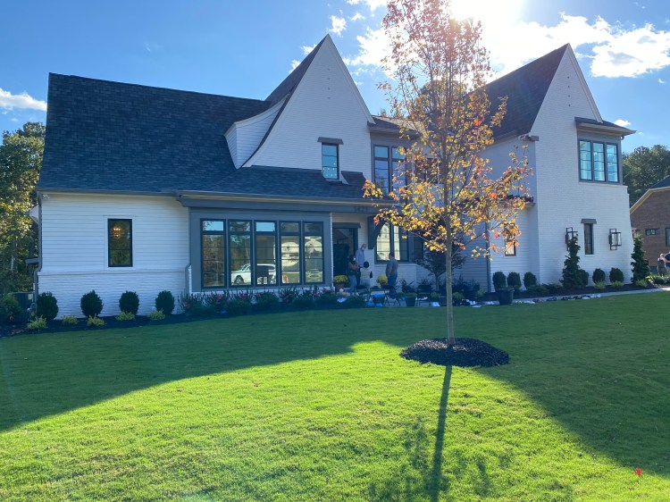
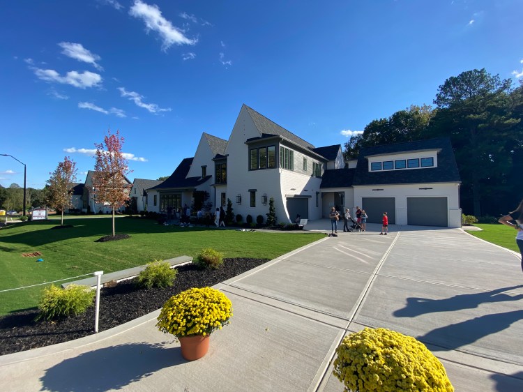
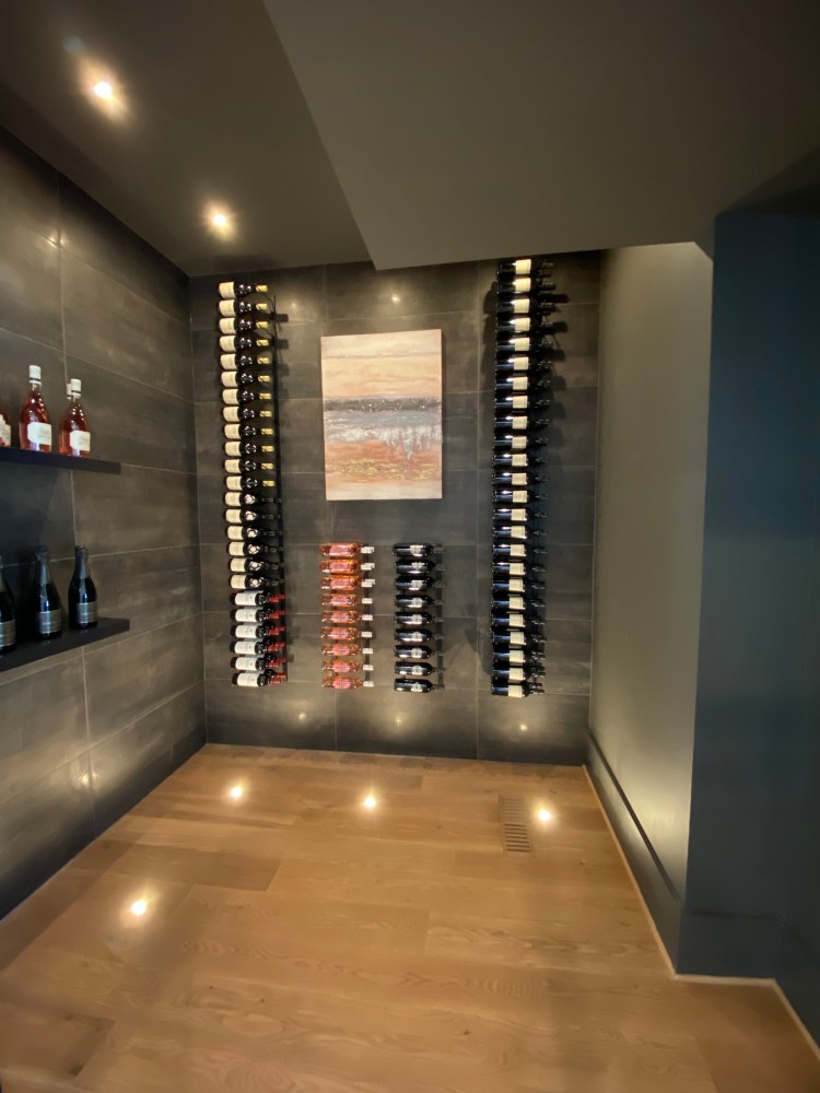
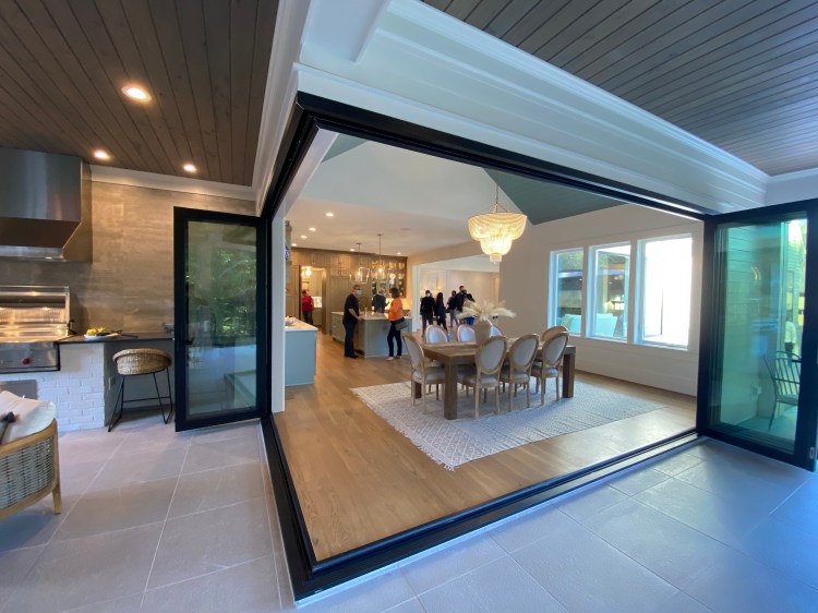
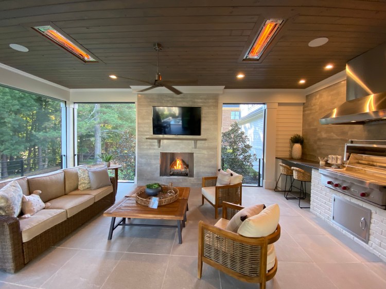
Some of my favorite pictures from some 2021 Parade Homes.