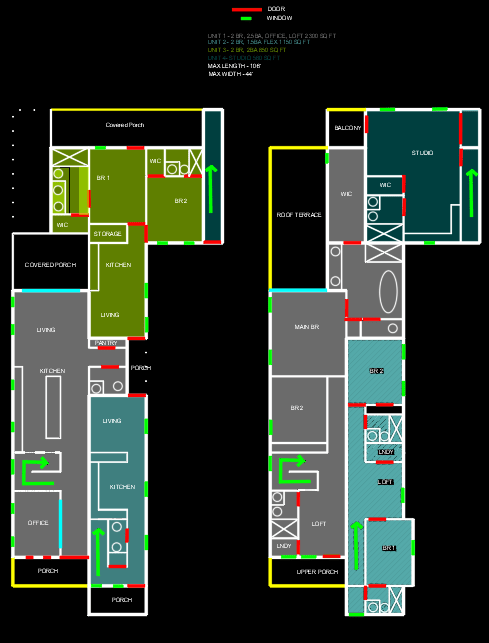
This four-plex features two duplex type units plus two ADU’s in the rear.
11/27 Updated Sketch: Same basic principles with updated stair placements in main two units to minimize wasted hall space.
Unit One
Unit one is 2300 square feet with 2 bedrooms, 2.5 bathrooms, an office, loft, 2 porches and a rooftop terrace.
The front porch welcomes you into the wide hallway with industrial glass doors leading into the office. The office also has French doors off to the porch.
The main living area features a large kitchen with center island and living room with accordion doors to the covered porch. Off to the side are pantry and 1/2 bath.
Upstairs features a loft off the stairs with laundry, bathroom, and linen closet. Up front is bedroom 2 and an upper porch.
The primary suite spans with a large bath with tub, shower and a large walk in closet. Accordion doors open up to a rooftop terrace.
Unit Two
Unit two is a 2 bedroom, 1.5 or 2 bath unit with an open living area downstairs off the front porch totaling 1150 square feet.
Upstairs is two bedrooms, a bathroom, and flex space that can either be an office, 2nd full bath, or upper porch.
Unit Three
Unit 3 is a single story 2 bedroom, 2 bath unit. The living area has an open living and kitchen area.
The two bedrooms each have a private bath and walk in closet and a large covered porch off the back.
Unit Four
Unit four is the smallest unit and is upstairs. It features a comfortable sized studio and bath with a small balcony.
The max depth of the building is 106′ so a rather deep lot would be needed depending on the necessary setbacks of the city. It could however fit on a 50′ wide lot which is pretty standard for most areas.
The best orientation may a pair of these facing each other to make an 8-plex with a shared courtyard (or parking) in the center.
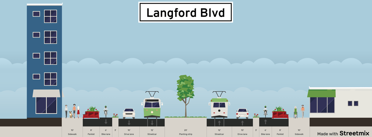
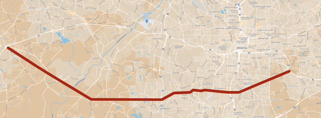
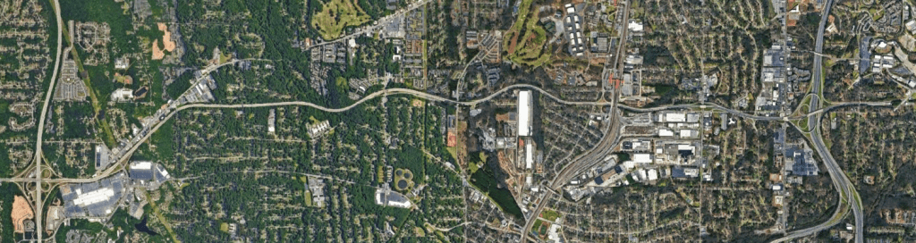
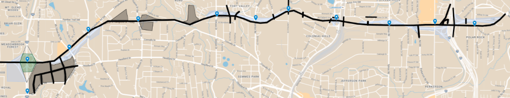
MARTA recently published plans to revitalize the Campbellton Road corridor in Southwest Atlanta. While plans initially called for Light Rail / Streetcar, BRT (Bus Rapid Transit) is now the preferred alternative. MARTA and the City of Atlanta should shift focus from just Campbellton Road to Langford Pkwy. Langford Pkwy is a six mile stretch of highway that was meant to be part of I-420 in the 1960s. The original alignment was proposed to stretch from Douglasville to East Atlanta.
GoogleMyMaps
Only the stretch tearing apart the the Black neighborhoods of Southwest Atlanta ended up being built.
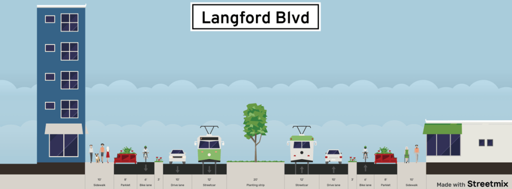
It’s time to reimagine the corridor as the multimodal, economic, and cultural hub it should be. We should remove Langford Pkwy and replace it with an urban Boulevard with BRT / Streetcar service that can serve as hub that SW Atlanta can thrive.
Streetmix
The Transit service would fill a vital void in MARTA’s current service and serve as the backbone of the plan. For more on MARTA the way I’d do it, check out my full plan I published a few months back.
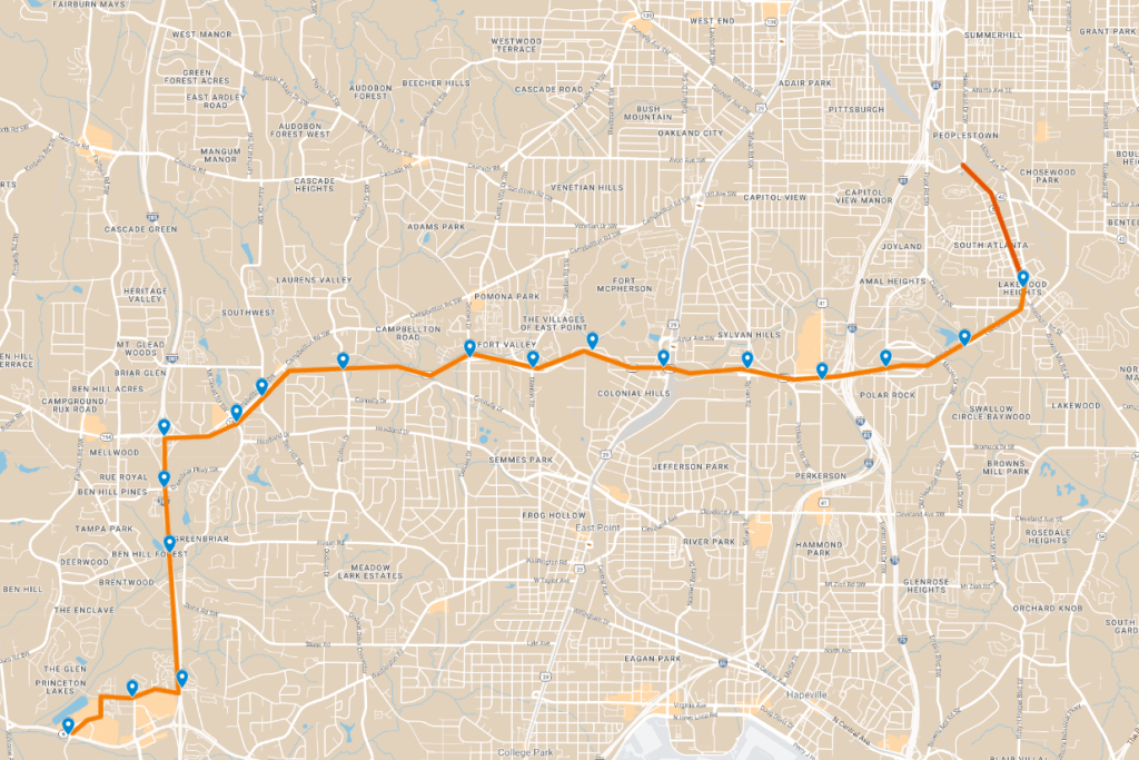
The alignment would essentially be an extension of the Summerhill BRT corridor stretching South from the proposed terminus down to Lakewood Heights. From there, the line follows the transformed Langford Pkwy to where stations at each cross street would serve as new neighborhood hubs. The later phase would stretch down I-285 to Camp Creek Marketplace which is another hub of commerce that is severely transit starved. A direct transfer point to MARTA’s Red / Gold line would be offered at Lakewood / Fort McPherson.
GoogleMyMaps
Greenbriar Focus Area
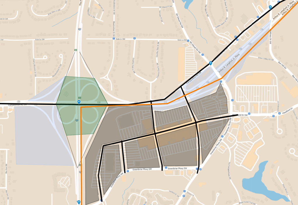
Perhaps the most important focus area would center around Greenbriar. Greenbriar Mall was once the economic hub of Southwest Atlanta. But like most malls, has fallen on hard times. There are currently no anchors, and the building sits on a sea of parking. Any redevelopment of the site should focus carefully on affordable housing and restoration of the Black economic hub it once was. Land can be reclaimed by removing Langford Pkwy, reconfiguring the interchange with I-285, and removing the interchange at Greenbriar Pkwy.
GoogleMyMaps
Reclaimed land from the footprint of the highway and ramps would amount to over 50 acres of land available for housing, greenspace and commercial. This is maximized by using the existing alignment of Cambellton Road East of I-285. Other themes of the plan would be restoring the grid structure where the mall and parking lots now stand.
To minimize the feeling of an interstate interchange, and a park over I-285 should be constructed similar to the 5th Street Bridge in Midtown.
GoogleEarth
The area would be served by three transit stations for optimal movement about the neighborhood.
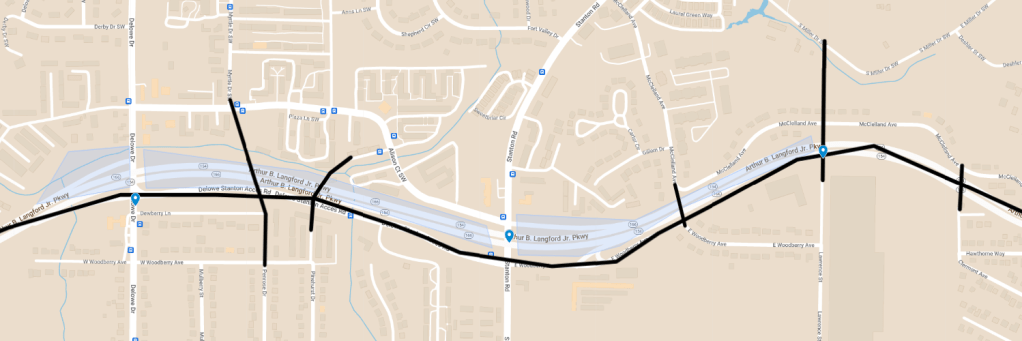
Delowe / Stanton
The Delowe / Stanton focus area would utilize the Delowe Stanton Connector as the principal alignment. This would free all the land of the highway footprint plus ramps as buildable land for dense neighborhood housing and services.
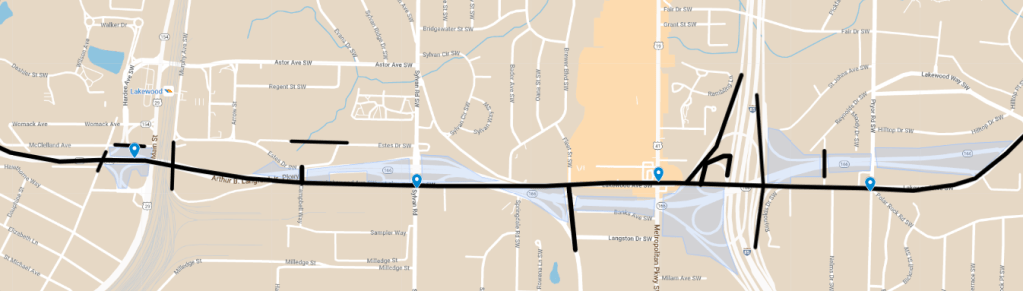
The Lakewood / Metropolitan focus area connects the corridor directly to MARTA.
GoogleMyMaps
Additional land would be freed up by reconfiguring the interchange with I-75 / 85 and utilizing some of the original grid. Doing so would give over 50 acres back to this community. High density uses should be concentrated even more in this focus area due to the direct Downtown connections and the Airport.
GoogleMyMaps
Challenges
The Cambellton Road BRT plan is pretty far along
Despite being a very low volume highway, removals are still very polarizing
Making sure any redevelopment is done with equity and the community at top of mind
Constructability
Benefits
Restored grid system creating new connections, neighborhoods, and relationships
Over 150 acres of reclaimed land given back to the community
A healthier environment
Safer, quicker, more efficient multimodal access between Camp Creek, Greenbriar, and Downtown
Spaces the community can be proud of and not just pass through
Increased density close to the core of Atlanta leading toward a more affordable and sustainable city.
The residents in and around Southwest Atlanta deserve a vibrant, dense multimodal corridor where families can thrive – not an underused highway connector.
Opinions and insights are my own and are not representative of my employer or any organization. Any ideas displayed on this site are purely that – just ideas to help improve the future of the built environment and begin discussions.
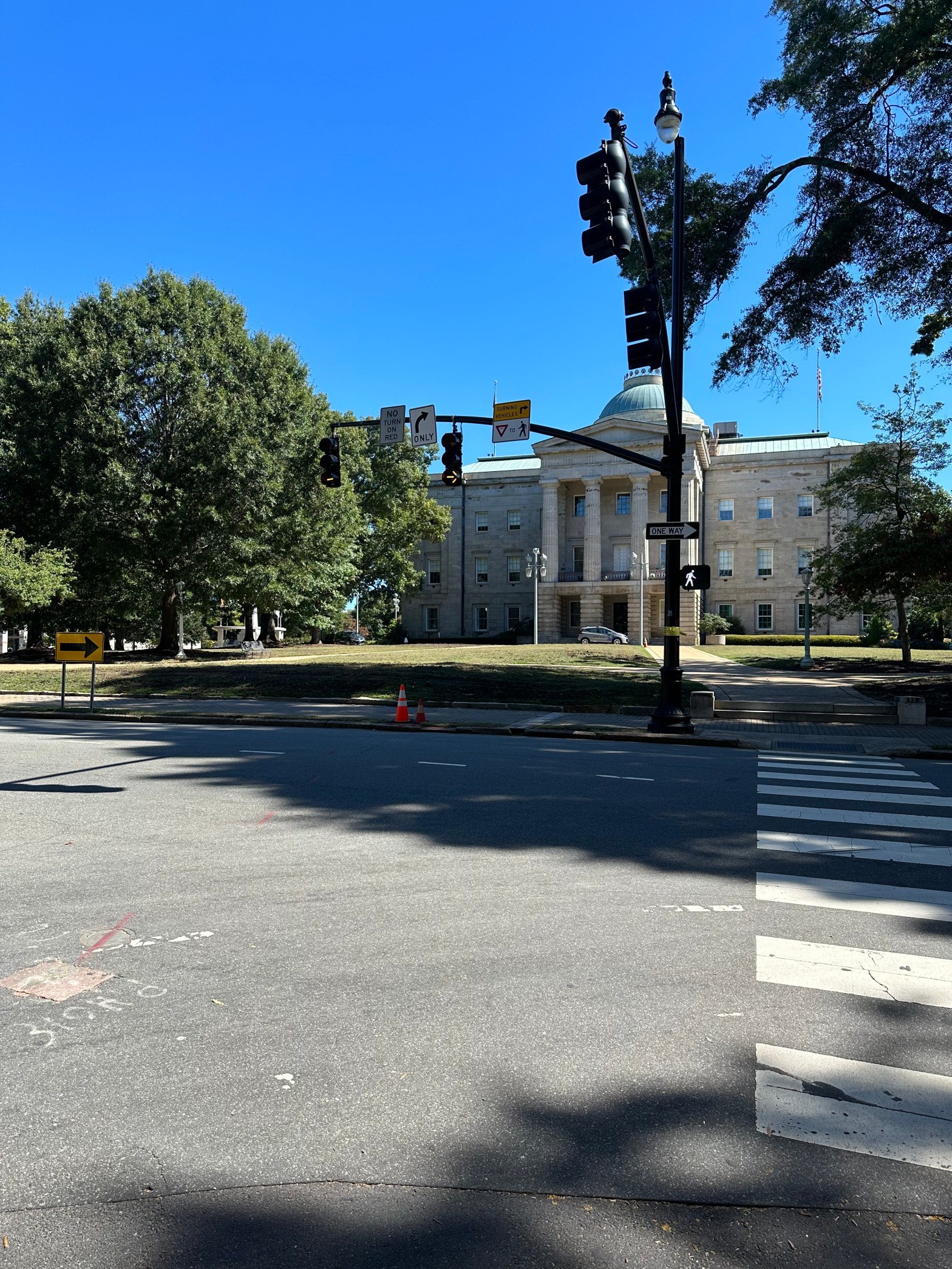
Recently, the City of Raleigh approved changes in the Downtown core to increase safety for all users.
All streets within Downtown will have their speed limits reduced to 25 MPH, right turns on red will be restricted, and dual turn lanes will be eliminated. These changes will even take affect on the Downtown streets that NCDOT owns which is a pretty big deal.
Usually, when agencies approve things like this, it is months – or longer, before we actually see things implemented. The City of Raleigh however has already been busy making these changes. Almost immediately after the announcement, I started noticing the new signs and altered signals.
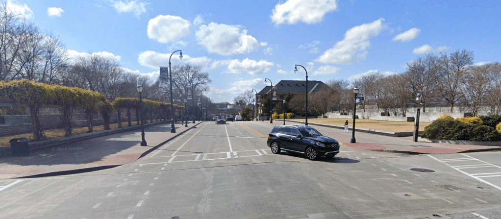
The first big one was at the intersection of Hillsborough Street and Salisbury Street.
GoogleEarth
While this particular signal was already no turn on red, there was a double right turn lane and a solid green light while having a forced pedestrian conflict. The updated configuration eliminated the 2nd right turn lane and converted the green light to a flashing yellow arrow to indicate that cars must yield to pedestrians.
Other changes I’ve already noticed are new 25 MPH speed limit signs on many of the Downtown streets including some of our major ones such as Edenton Street and New Bern Avenue.
Unrelated to these changes but still noteworthy is also the elimination of un-warranted signals in and around Downtown. Signals at the intersections of Oakwood Ave at Hill Street, East Street at Davie Street, and West Street at Lenoir Street were recently converted to All-Way stops. While it may seem like a small deal, this also helps with pedestrian safety and slows vehicles down.
GoogleMyMaps
It will be interesting to see how these changes affect safety and mobility throughout our city in the coming years. These small changes can help us advance toward the goal of Vision Zero.
Opinions and insights are my own and are not representative of my employer or any organization. Any ideas displayed on this site are purely that – just ideas to help improve the future of the built environment and begin discussions.
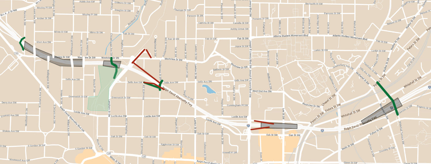
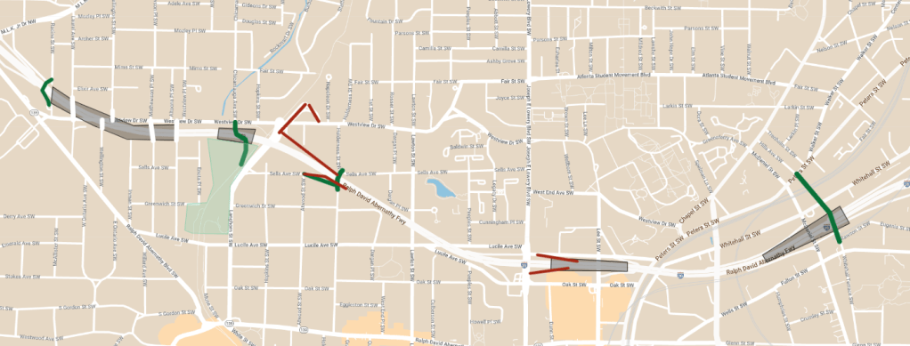
My reconnecting communities series continues in West Atlanta with some relatively “quick” build projects to help bridge together neighborhoods severed by the construction of I-20.
Catch up with the other reconnecting community plans I’ve examined to date:
I-20 West of Downtown Atlanta snakes through historically Black neighborhoods separating what was once a comprehensive grid structure.
While these projects shouldn’t be seen as an end all – be all fix, they could go a long way to increasing connectivity, promoting equity, and attempting to remedy the scars caused by the construction of the highway.
GoogleMyMaps
Long term solutions similar to the East Atlanta Boulevard proposal, complete removal and other strategies should be analyzed and will also be explored in future articles.
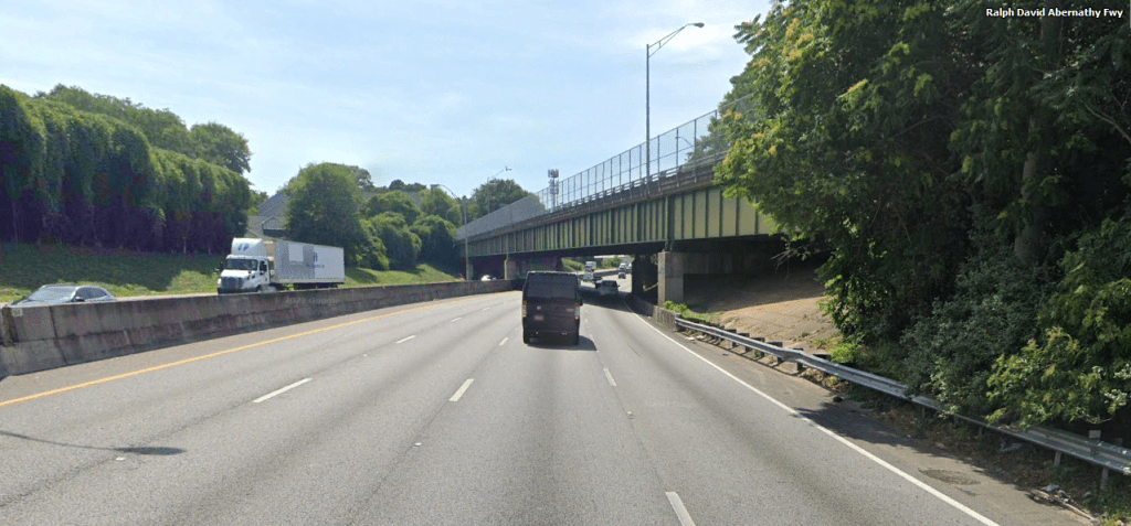
Westview Drive
The Westview Drive bridge currently crosses I-20 at an extremely acute angle making for a very long crossing.
GoogleEarth
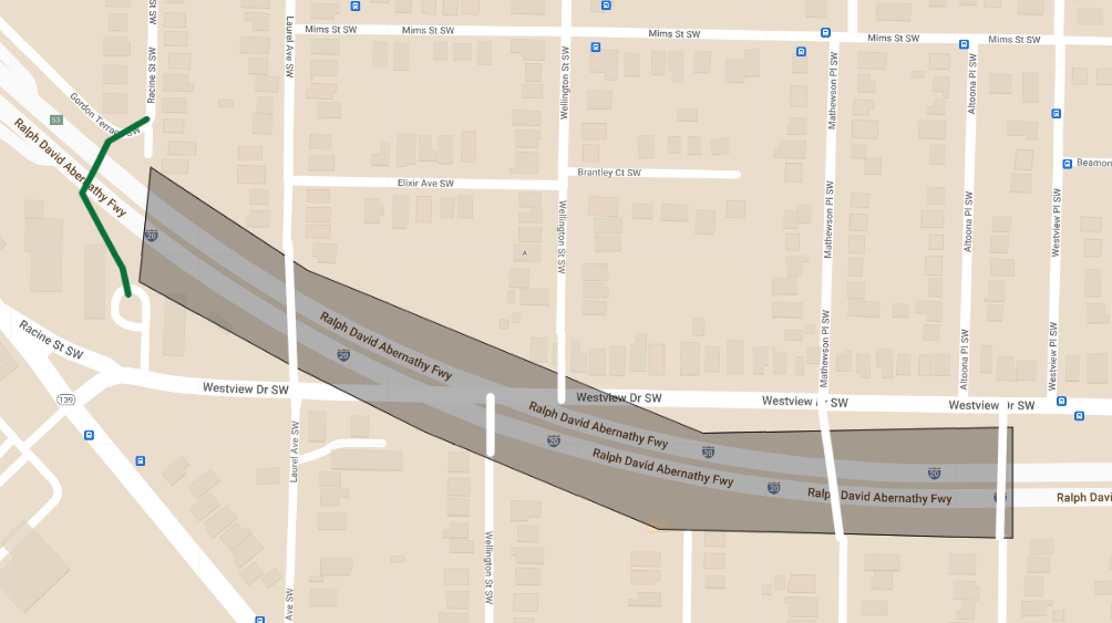
Using the grades to our advantage here, expanding the bridge in both directions over I-20 would present several opportunities. Several several neighborhood streets could be connected to Westview and up to 10 acres of community park space or developable land could be reclaimed.
Just to the West of the cap, a statement pedestrian bridge would serve as an extension of Racine Street.
Constructing a trail and wide bridge over I-20 would effectively extend Enota Park northward to Westview Drive and opening it up directly to the Mozley Park neighborhood.
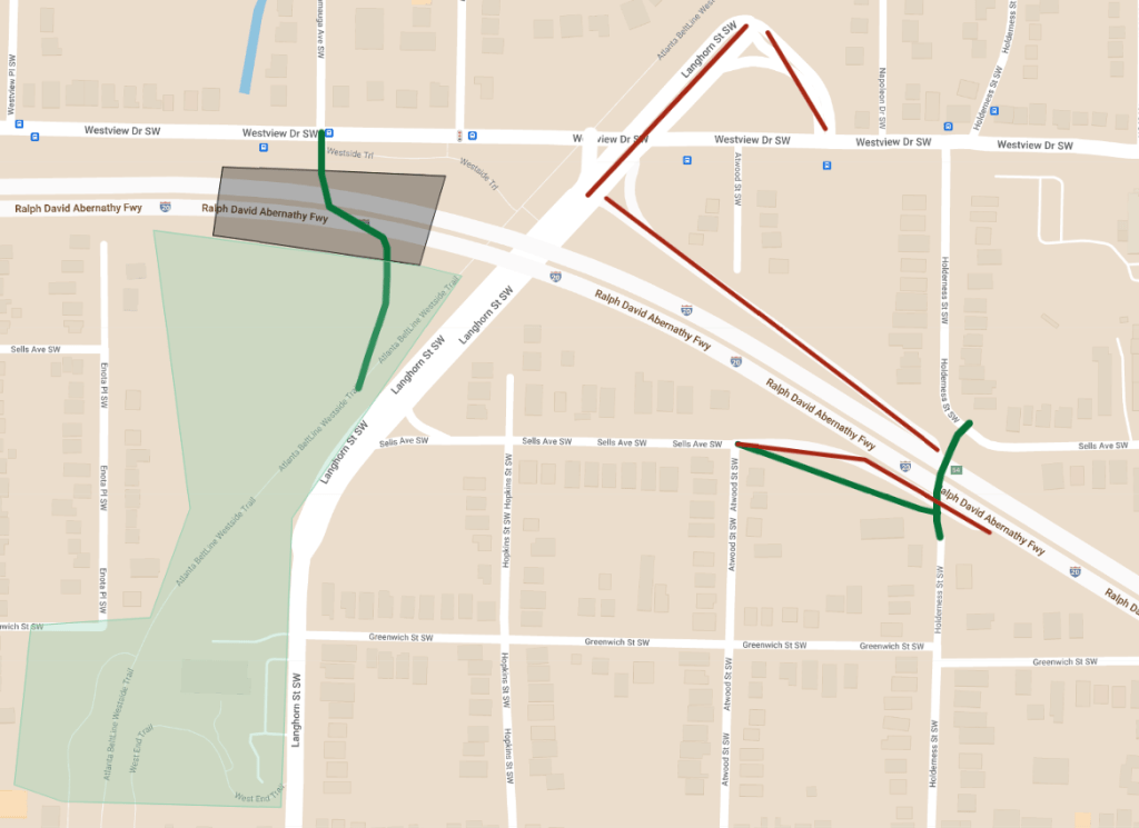
The overbuilt half-diamond interchange with Langhorn St and the interchange at Westview Dr should also be eliminated giving the area a more appropriate neighborhood feel.
Additional trail connections to the East would increase the grid system.
GoogleMyMaps
Lee Street
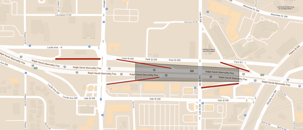
Perhaps the area with the biggest need for increased connectivity, greenspace, and redesign is the Lee St area. I-20 splits the AUC from the Mall at West End commercial area with multiple highway ramps and one-way streets.
Closing a pair of ramps, two-waying the frontage roads and capping where the grades allow for it would stitch together two of the most important neighborhoods in Atlanta.
The eventual redevelopment of the Mall at West End area should focus on re-establishing the street grid along with orienting focus toward the Lee St cap and AUC.
GoogleMyMaps
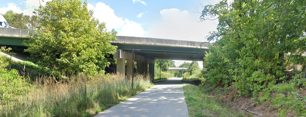
McDaniel Street
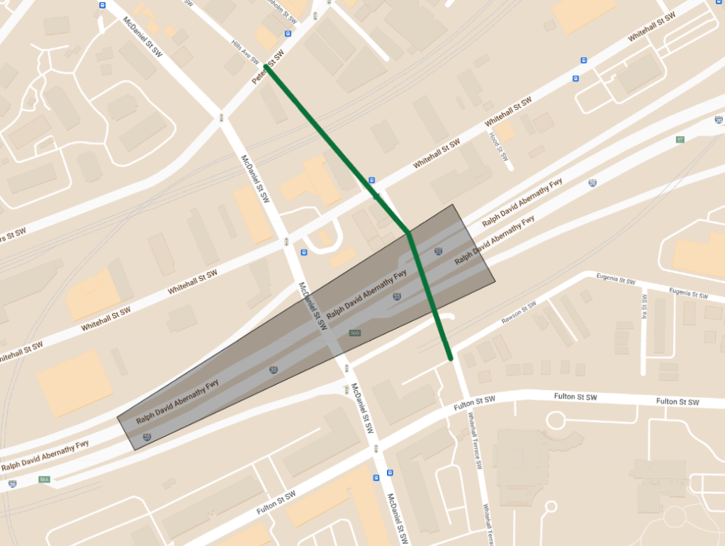
McDaniel St features 100s of newer apartments in the shadows of Downtown but without much in the way of safe access without a car.
GoogleEarth
A 5th Street style bridge and new cycle track on the parallel Whitehall Terrace would give the community safer access to and from Downtown as well as a sense of place.
GoogleMyMaps
Together these four projects will help the West Atlanta neighborhoods being to reconnect from the scars of I-20.
Coming soon I’ll explore a more long term solution for I-20 West, an interim solution for I-20 East and the removal of the Lakewood Freeway.
Opinions and insights are my own and are not representative of my employer or any organization. Any ideas displayed on this site are purely that – just ideas to help improve the future of the built environment and begin discussions.
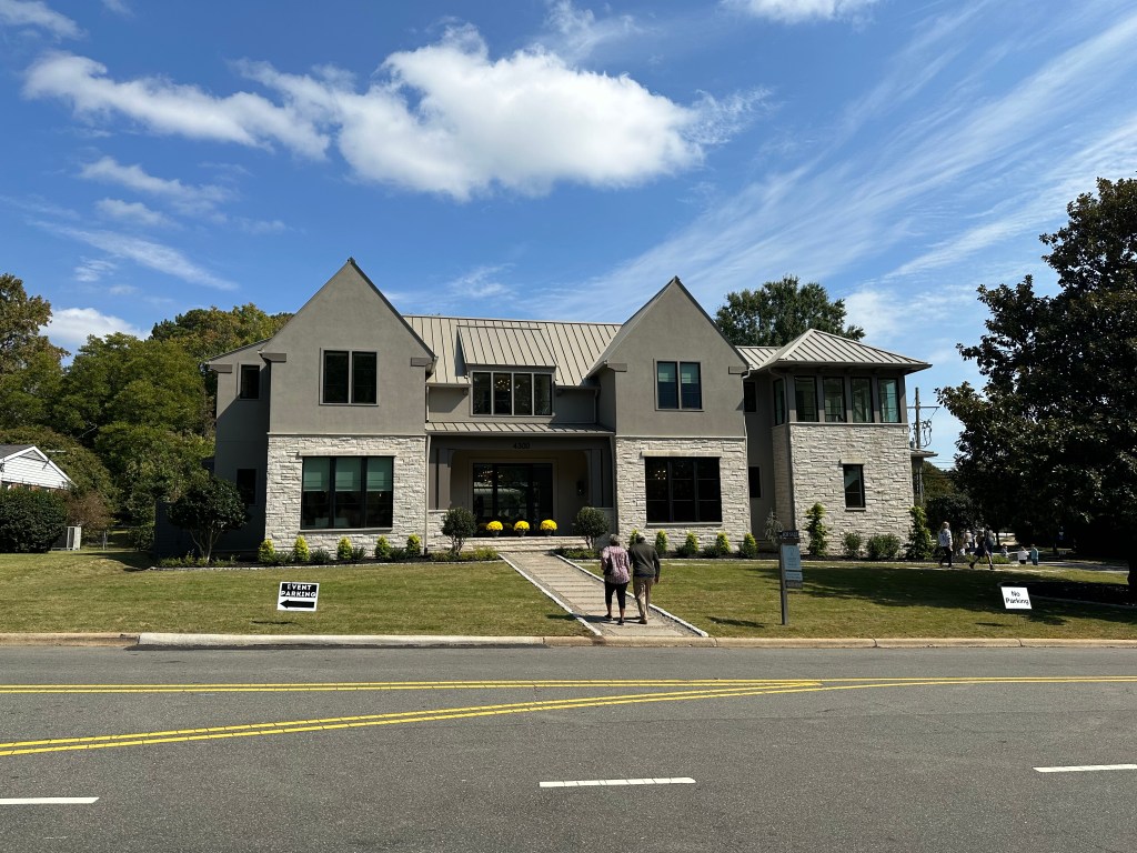
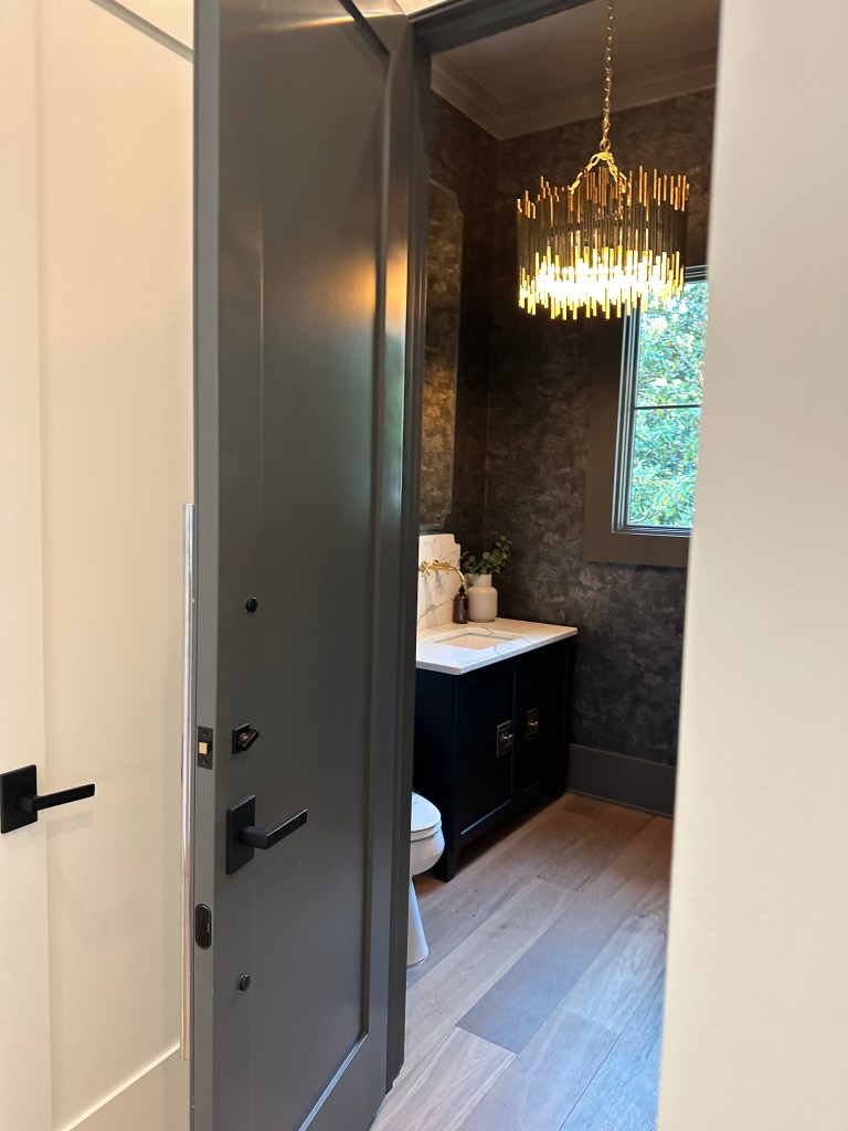
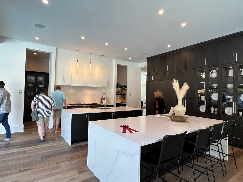
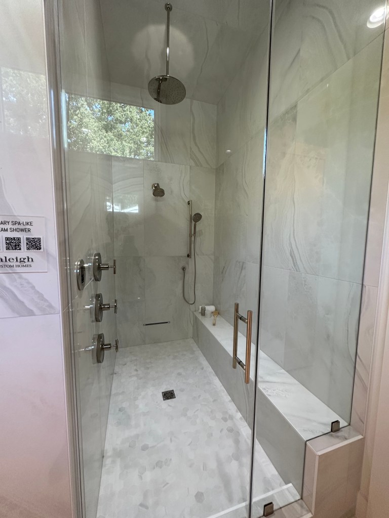
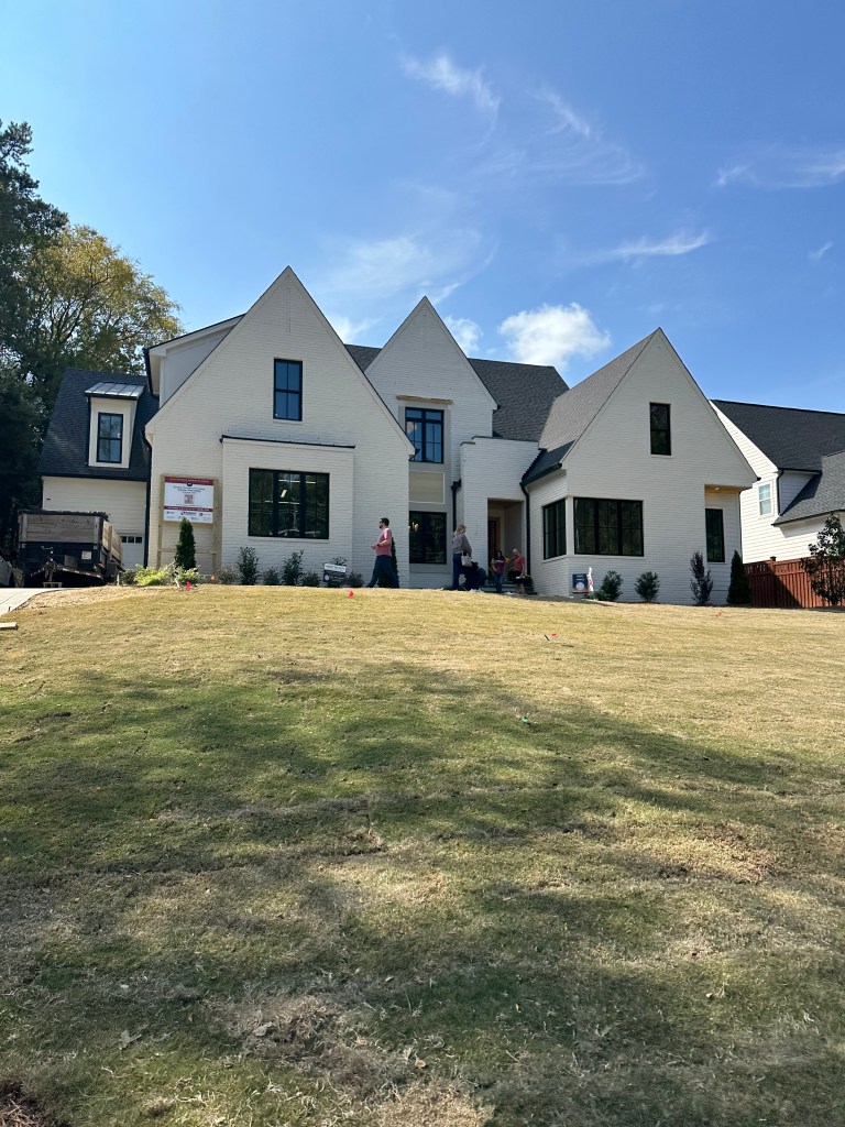
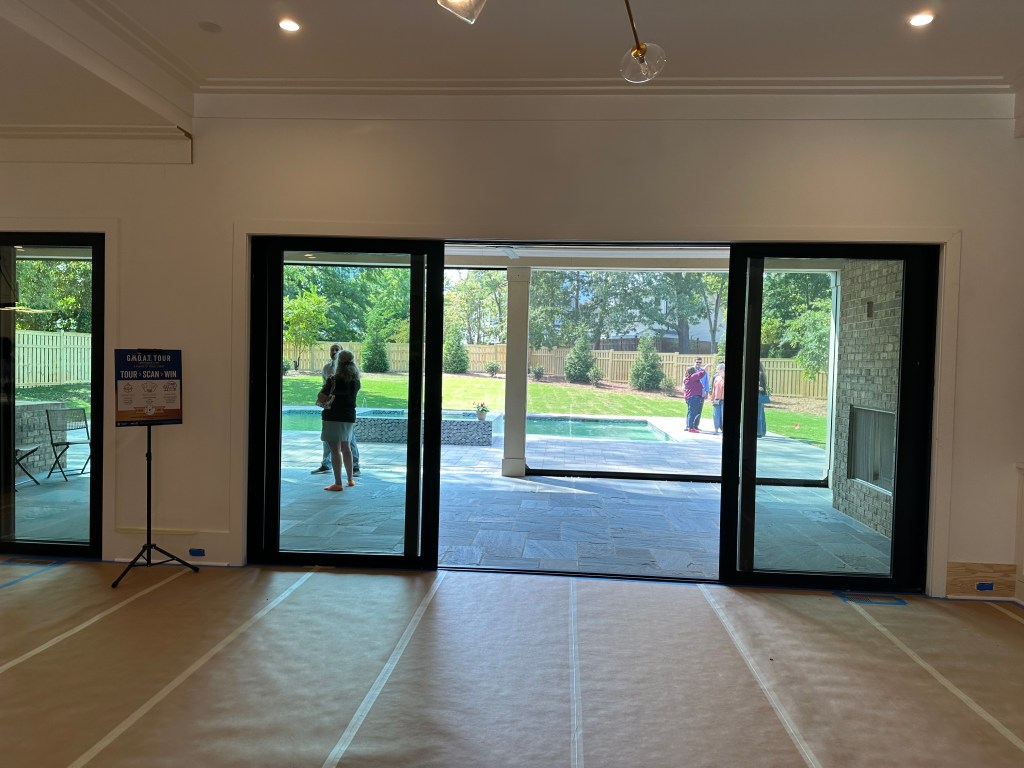
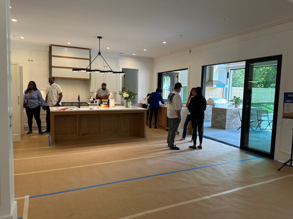
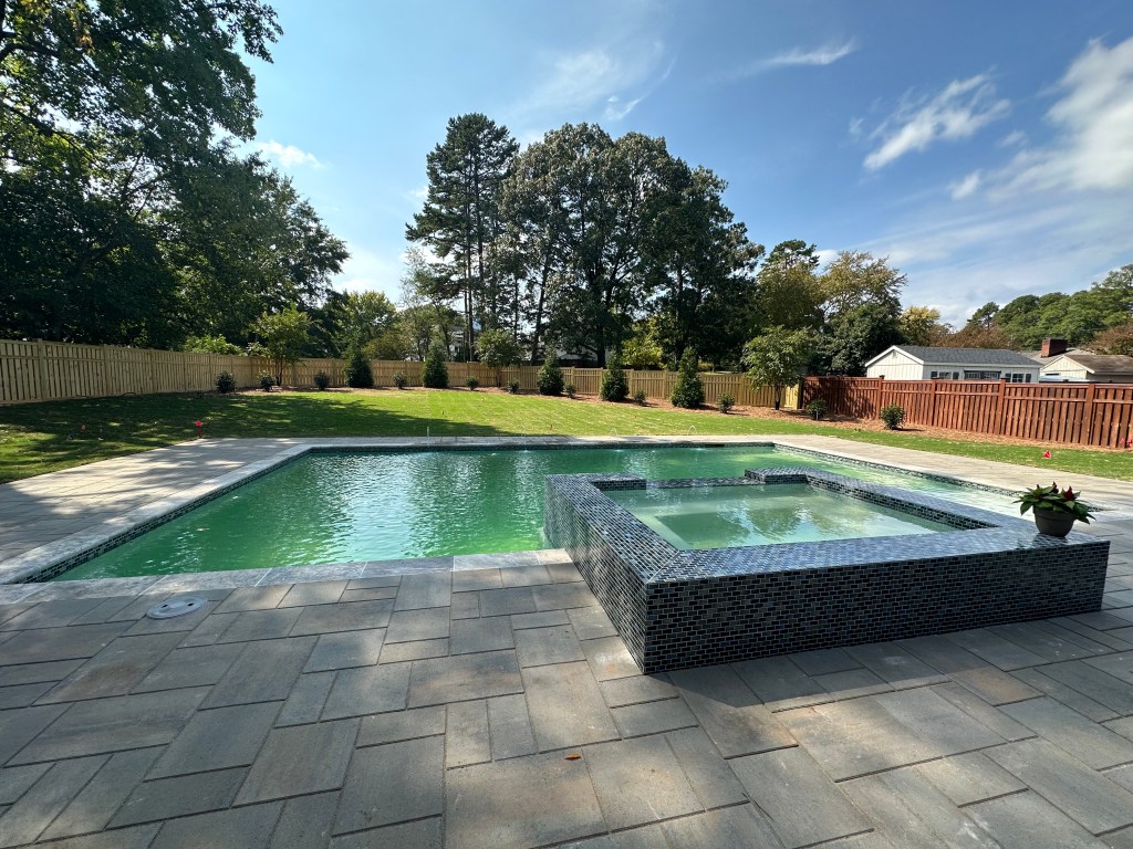
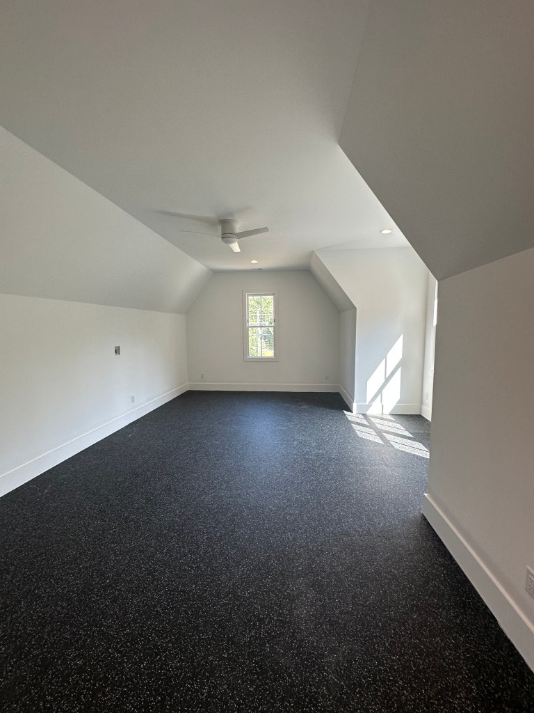
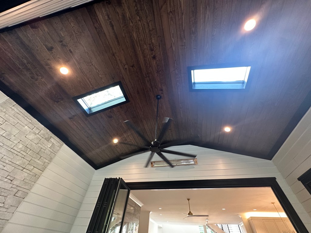
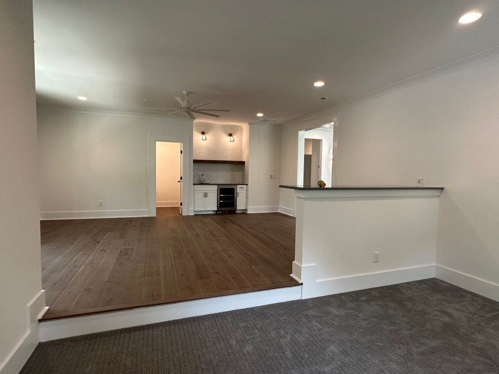
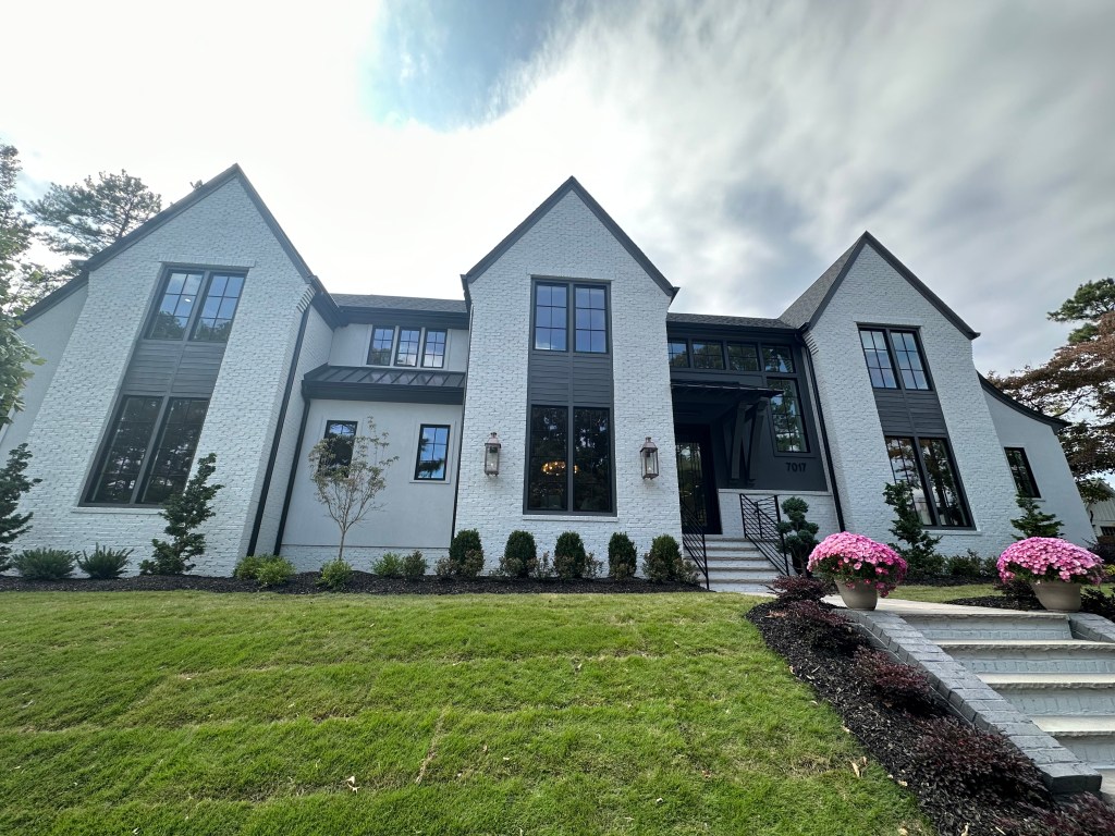
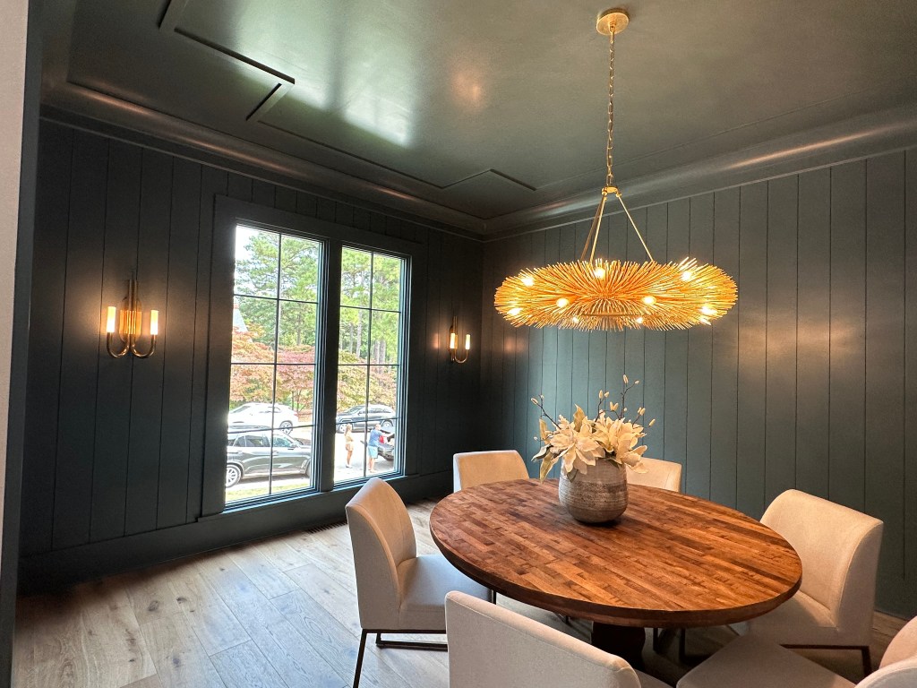
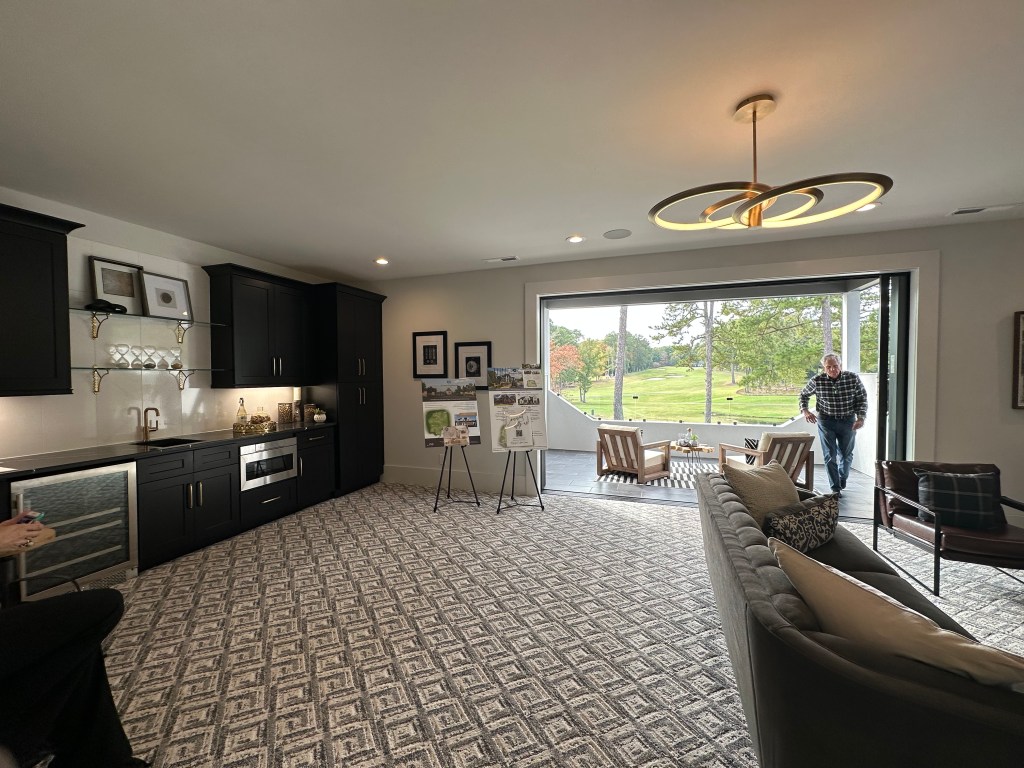
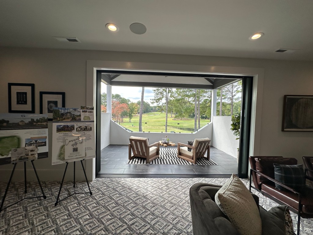
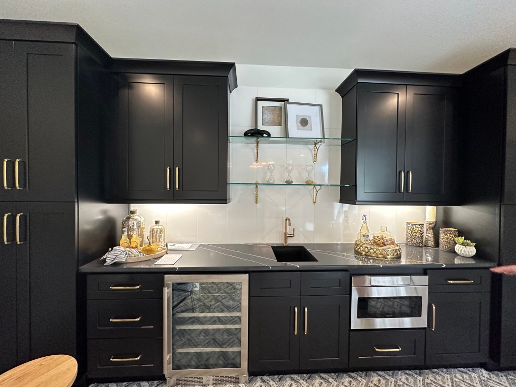
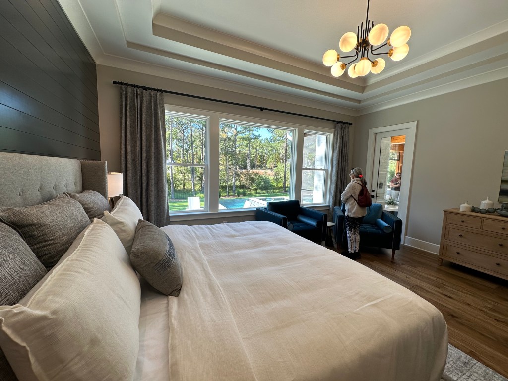
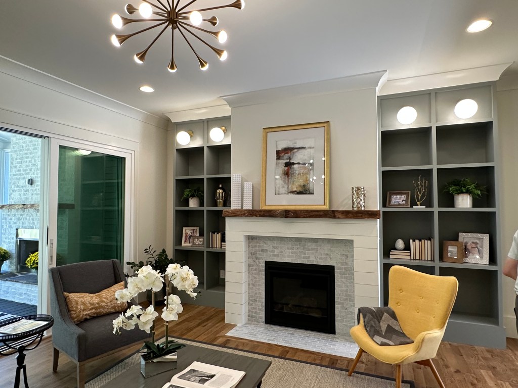
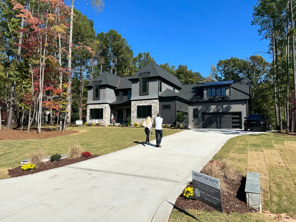
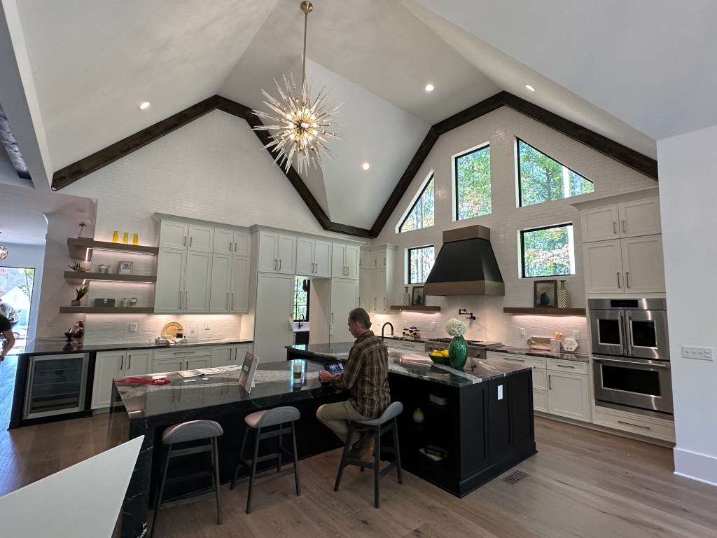
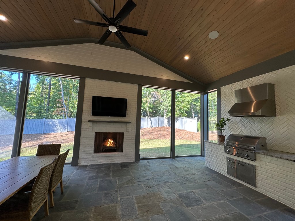
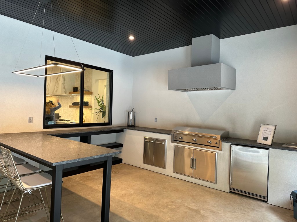
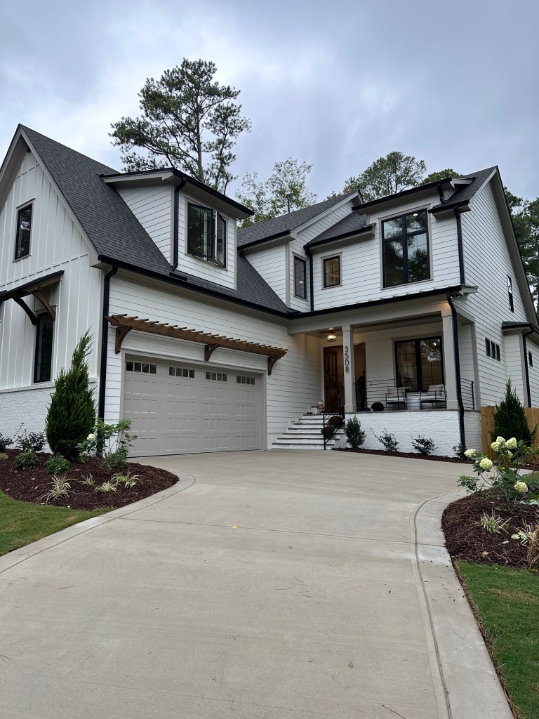
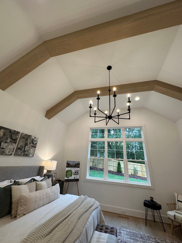
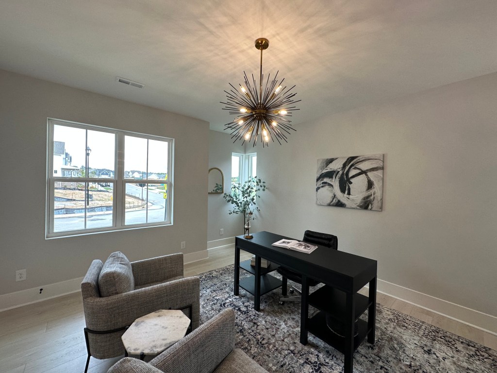
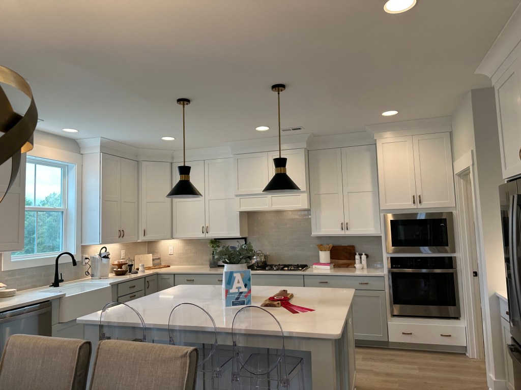
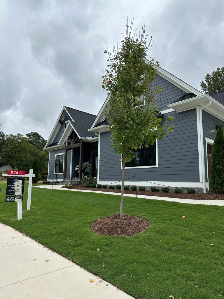
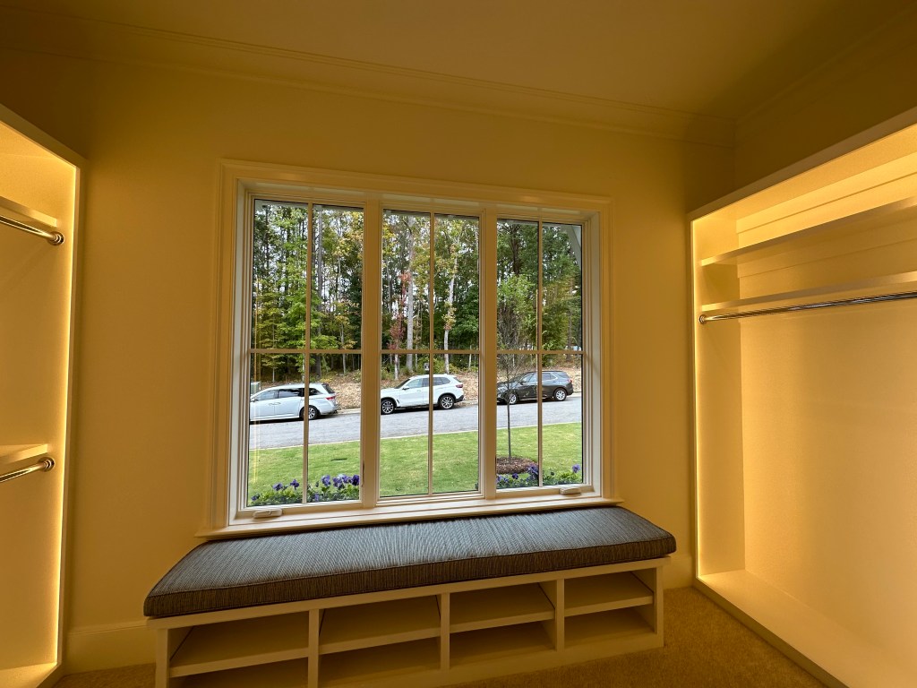
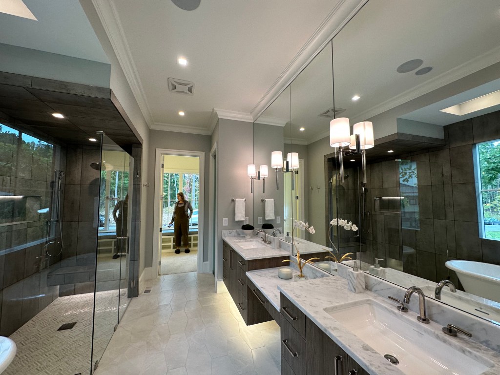
This is what 5 million gets you directly on the corner of North Hills. The urbanist in me cringes that this prime of a lot isn’t more than one unit, but my goodness – what a house.
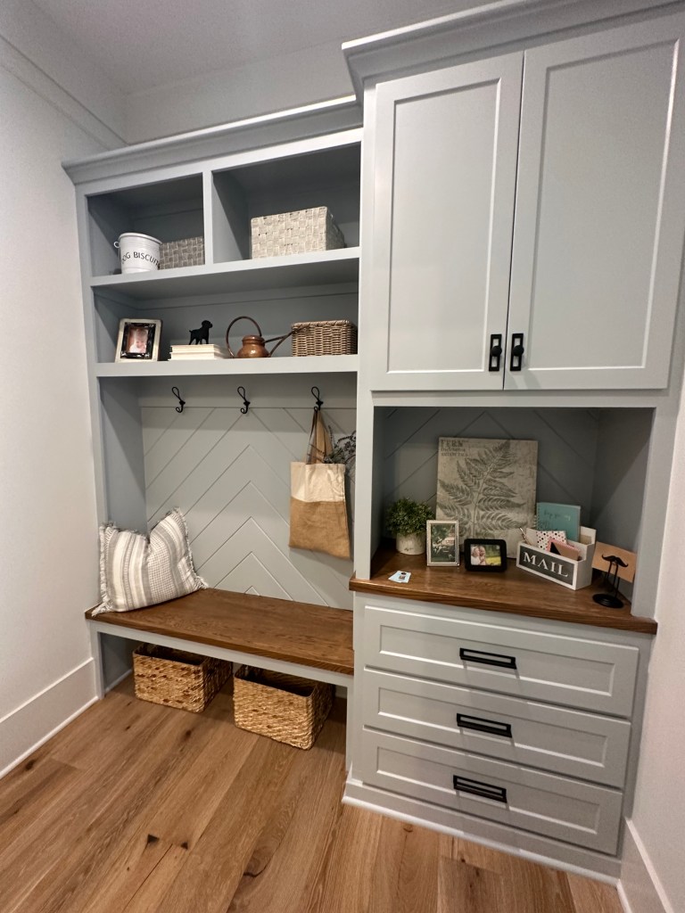
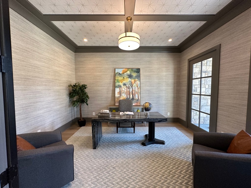
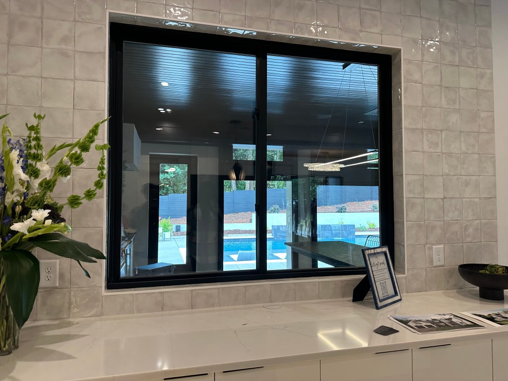
This house had a really nice setting with some existing trees remaining on the lot and really nice exterior finishes. What an amazing office as well – just missing some windows that actually open and direct porch access.
Finally, the office doors I dream of. But location wise, all of the rest of the homes on this list are located outside of I-540 on acre + lots with no sidewalks or access to any services anywhere near them. The definition of sprawl.
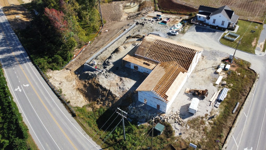
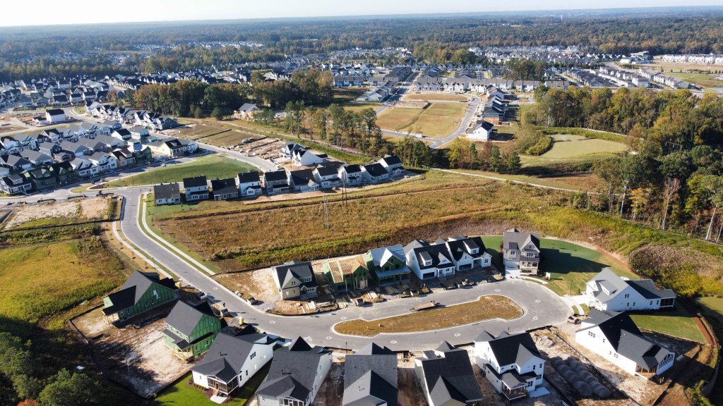
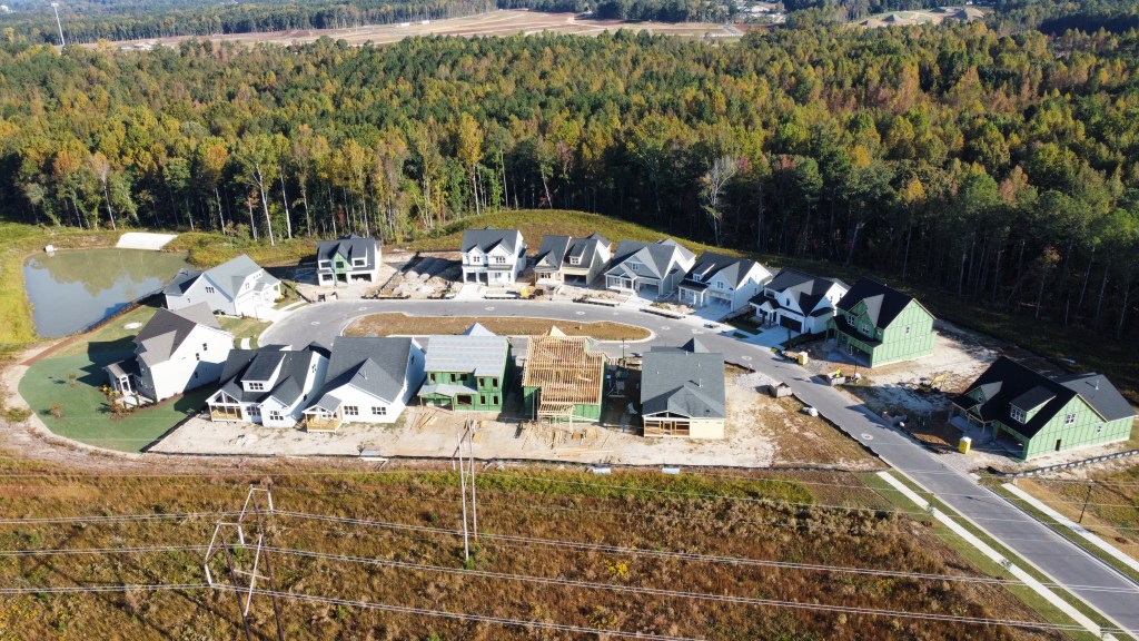
The weather and housing market has cooled, but not construction!
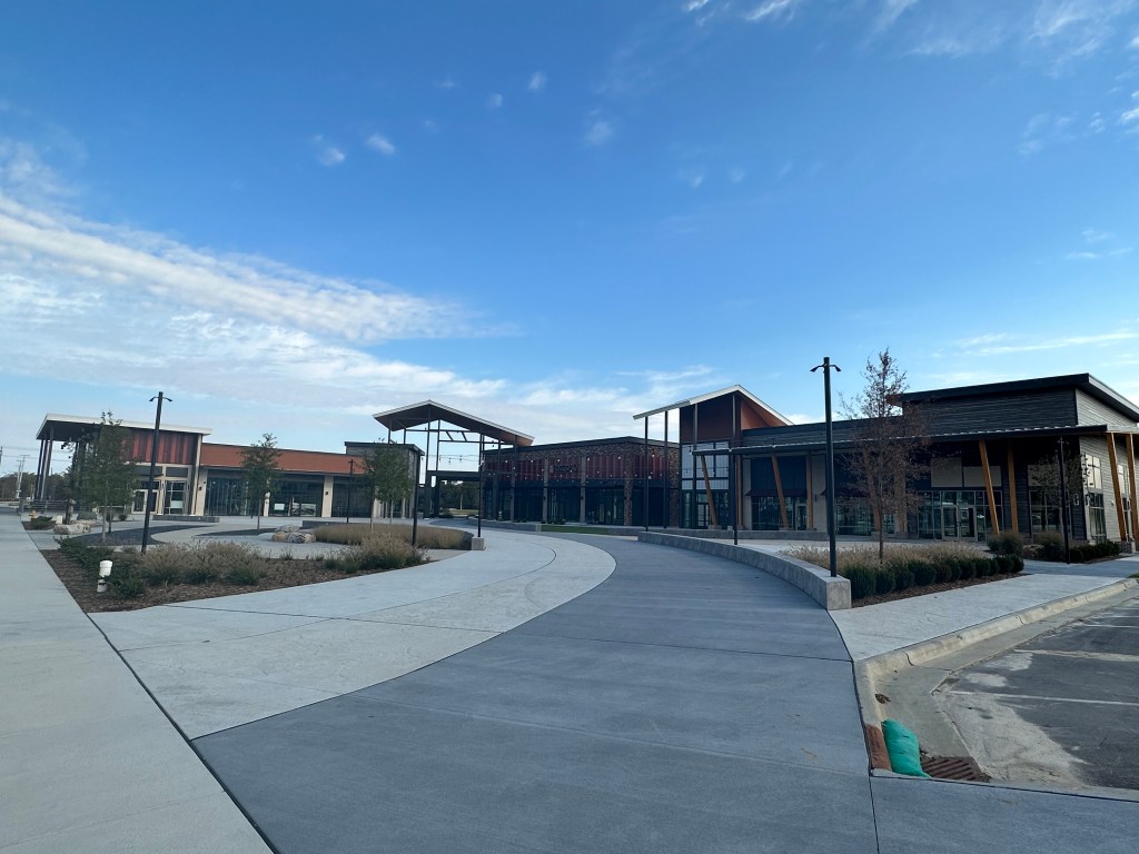
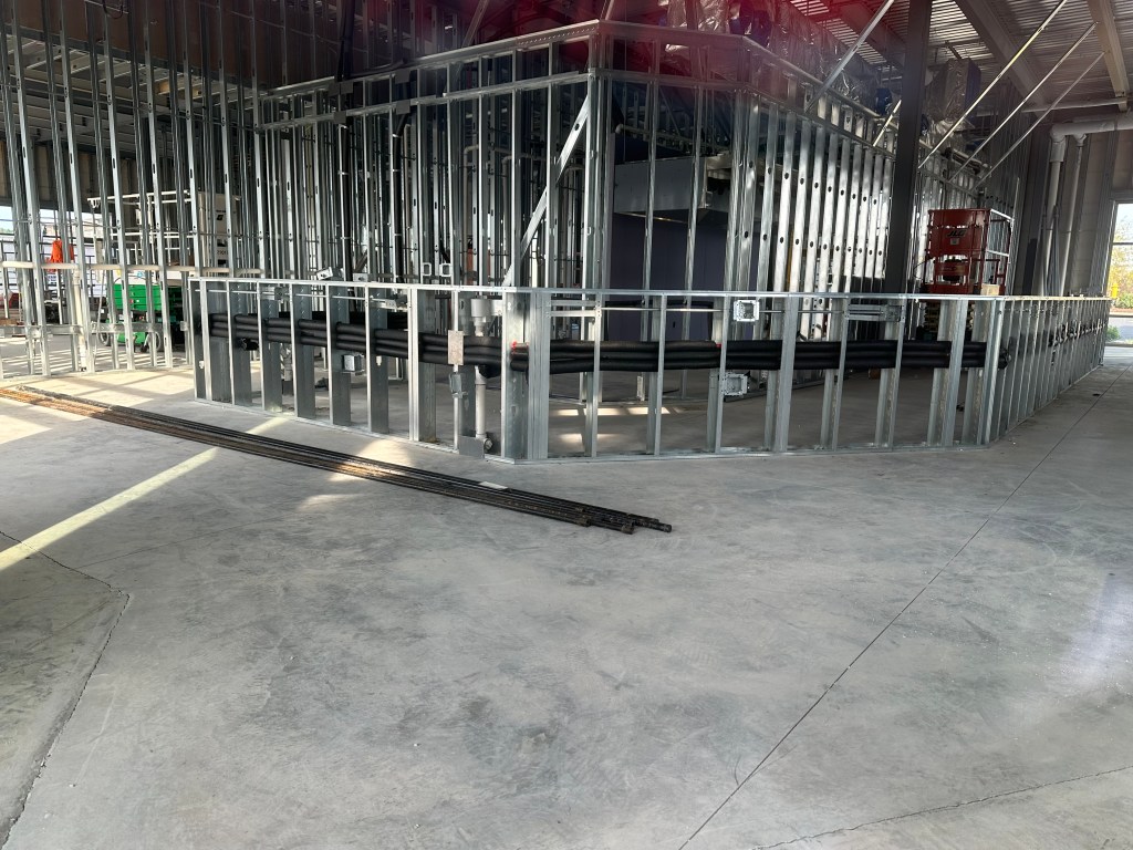
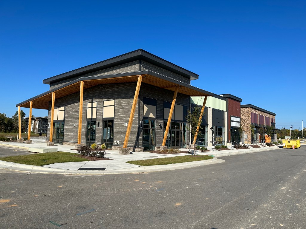
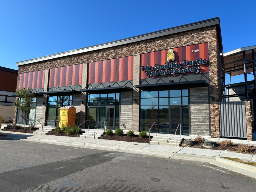
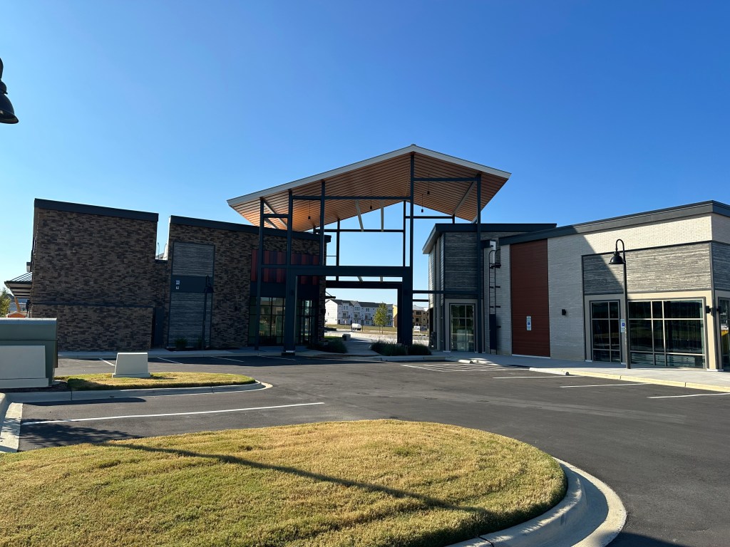
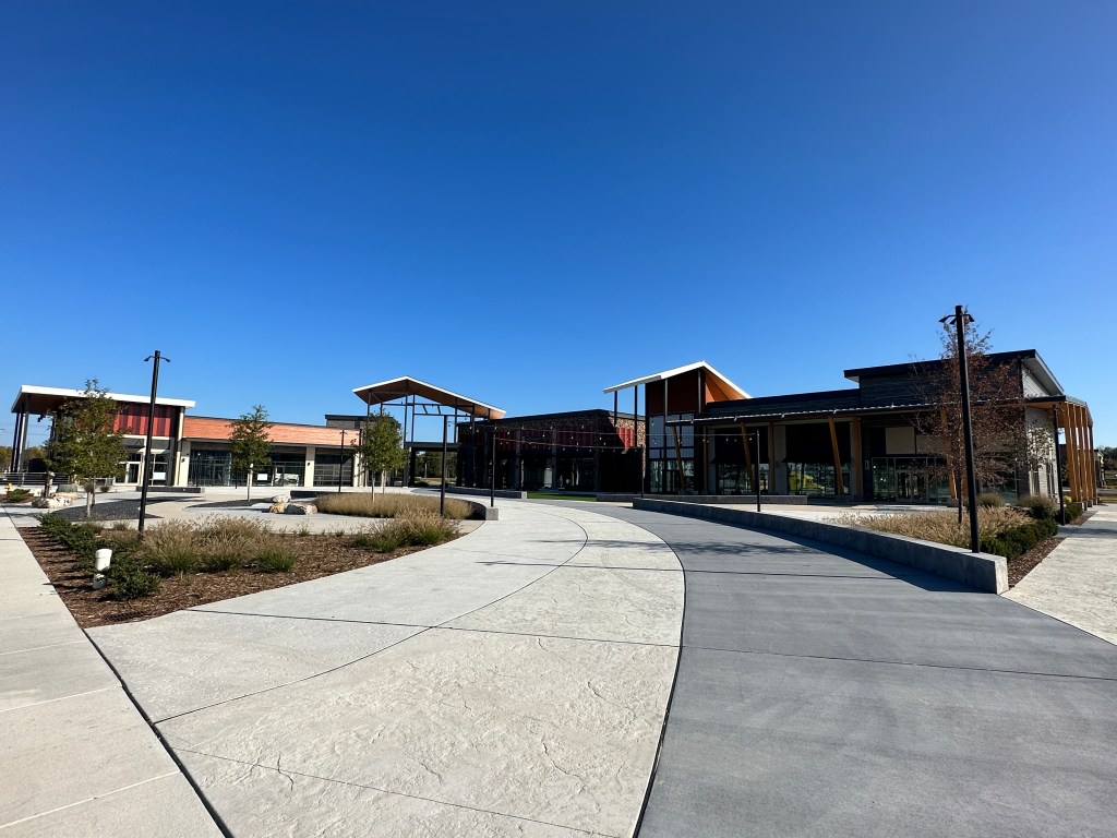
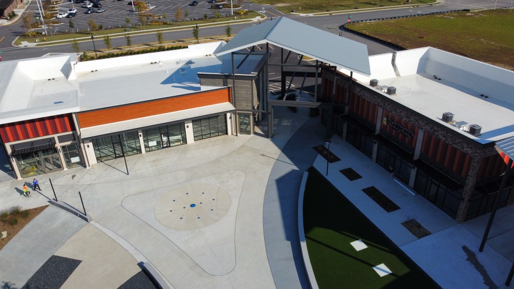
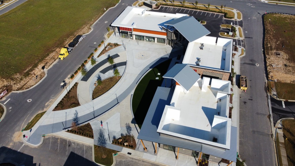
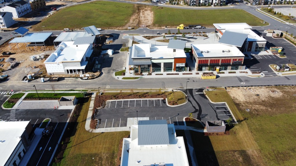
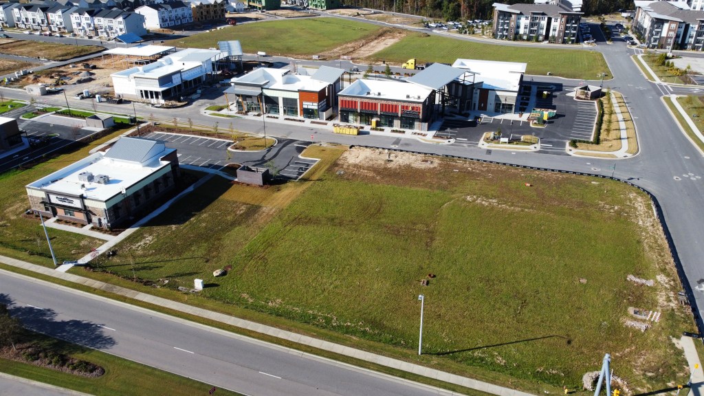
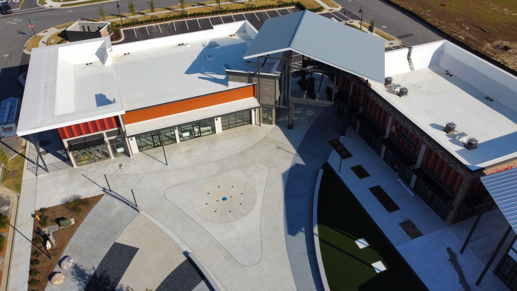
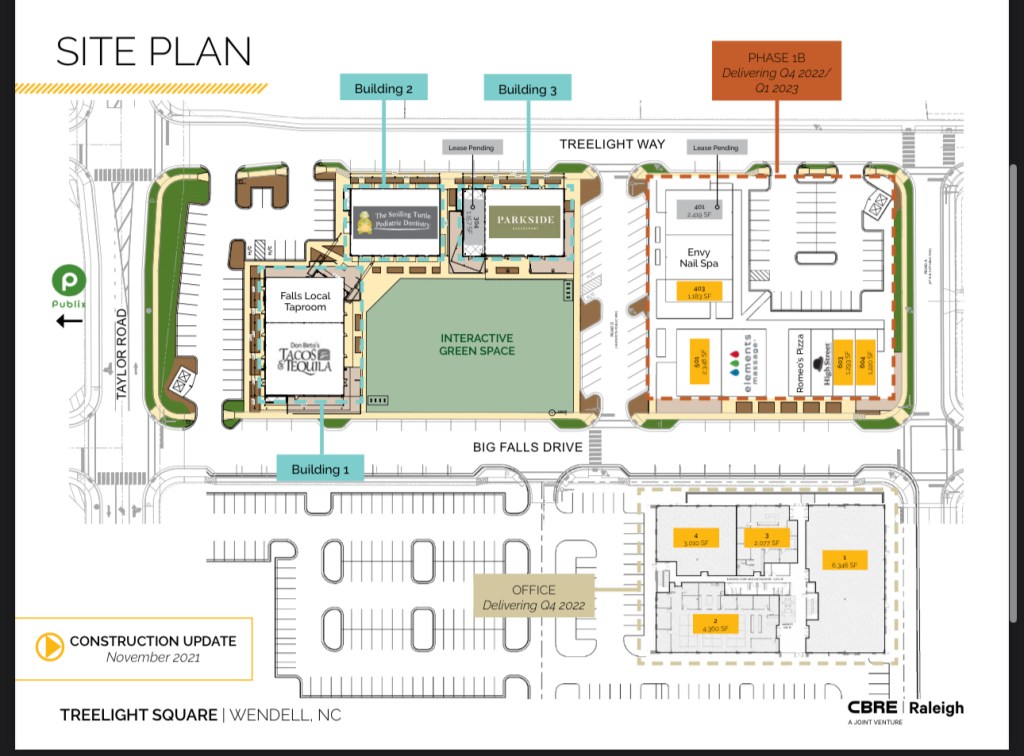
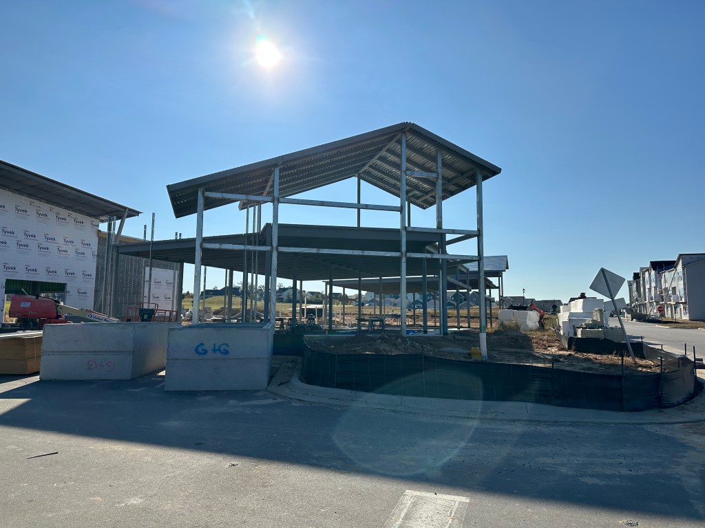
Treelight Square Dining District
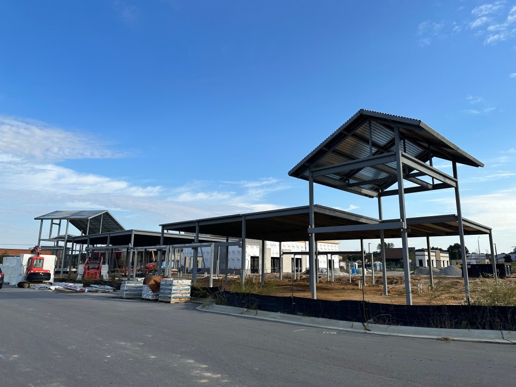
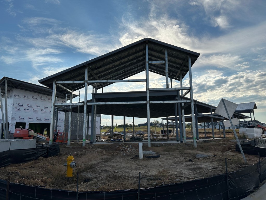
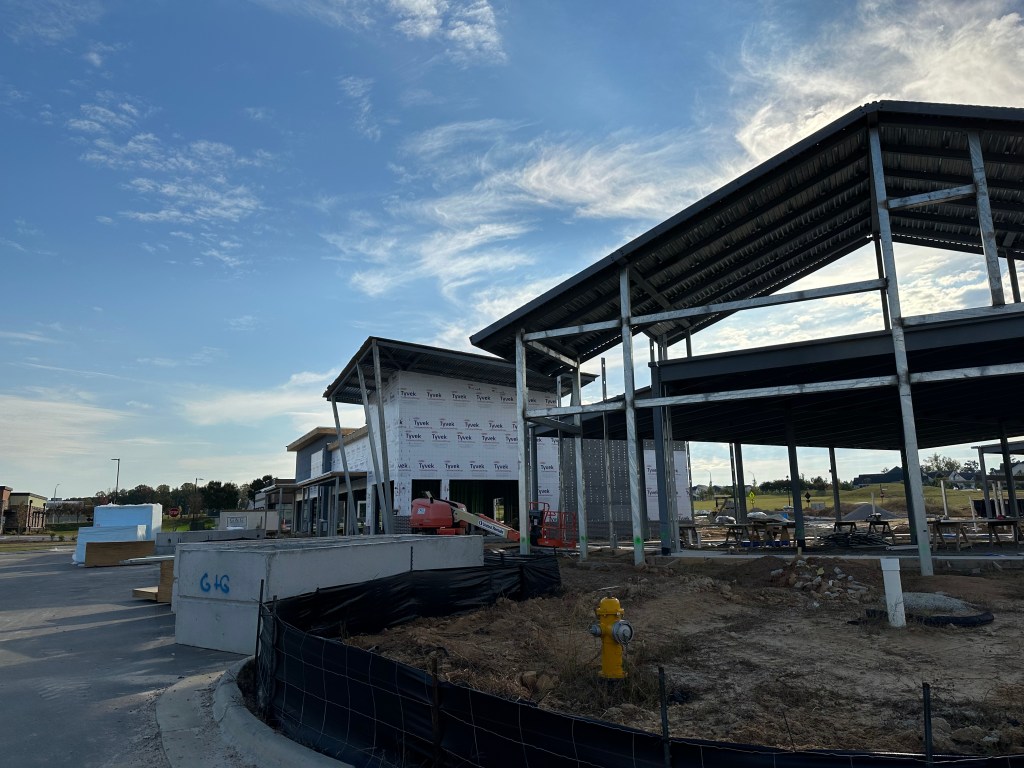
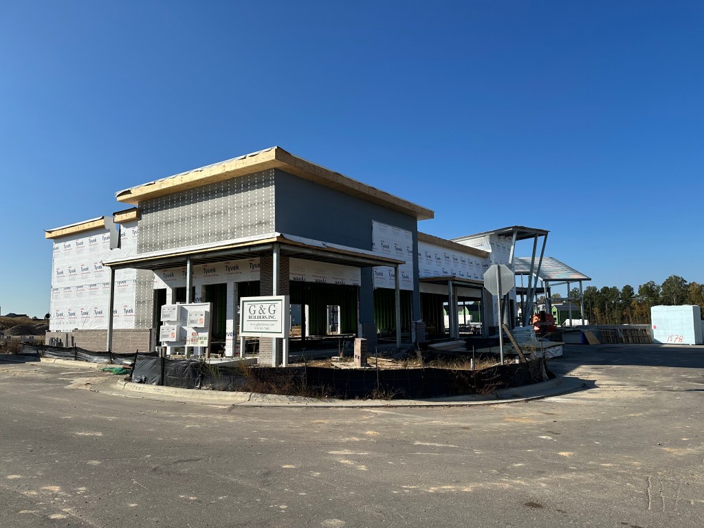
Work is complete on the exteriors of the first group of buildings (Phase 1A). The Smiling Turtle is just about complete, while Don Beto’s and Falls Local have been busy with their interior framing.
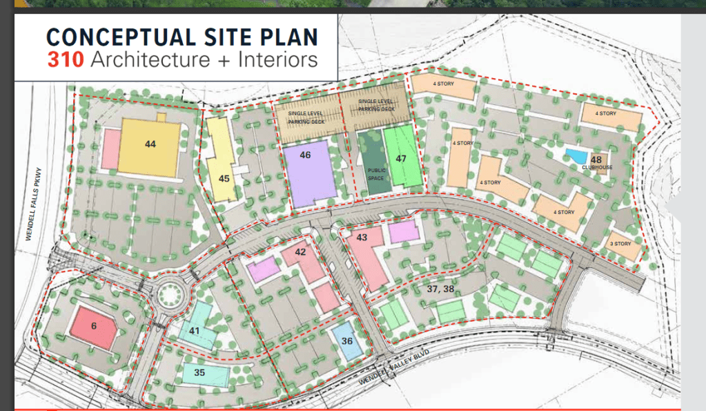
Phase 1B continues it’s exterior build and we recently learned that Elements Massage will be joining the lineup. The latest site plan courtesy of CBRE follows.
CBRE Raleigh
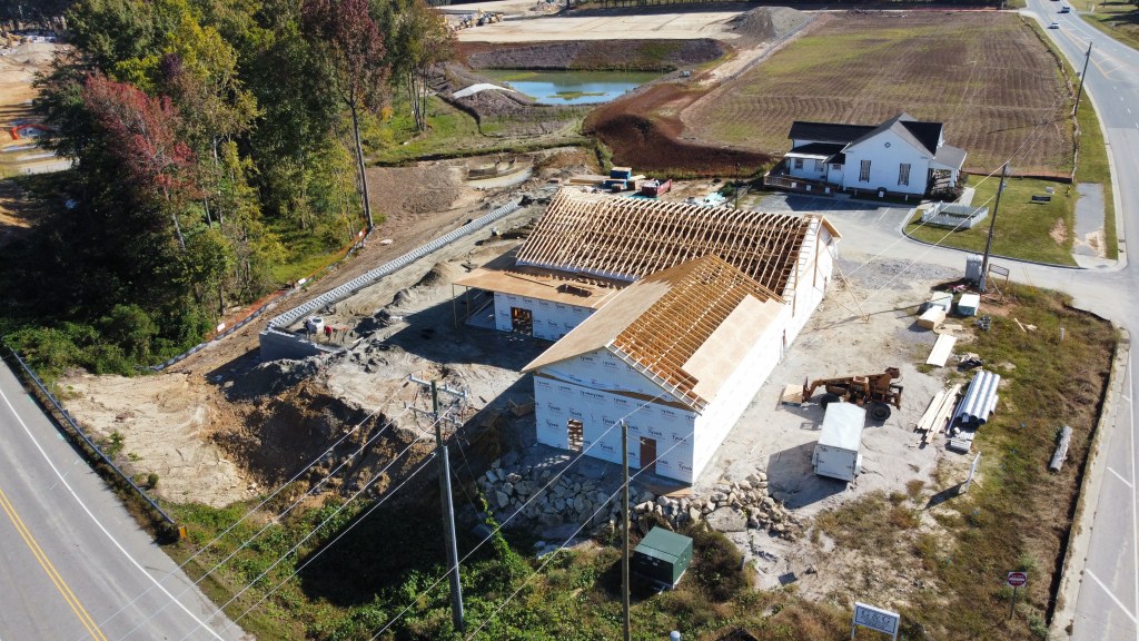
Construction still hasn’t started on the Treelight Office Building so that Q4 2022 delivery date will likely be late 2023. We’ve not had any word on tenants other than an insurance agency for that building which is likely why they’ve not broken ground.
As for the Treelight Square outparcels, construction on the 55+ apartments could start soon. Publix has solid their outparcel to McDonald’s and lot 20 was recently surveyed and may be a Fifth Third Bank. No formal announcements have been made though.
55+ ApartmentsMcDonald’sPotential Bank
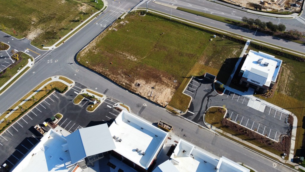
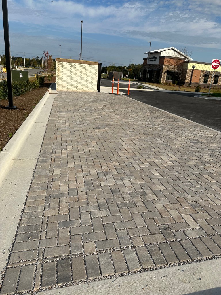
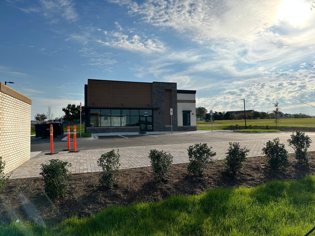
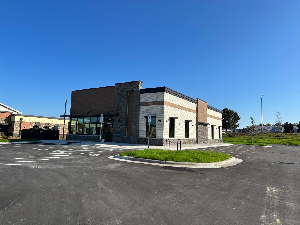
AFC Urgent Care
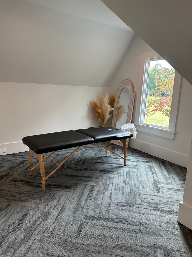
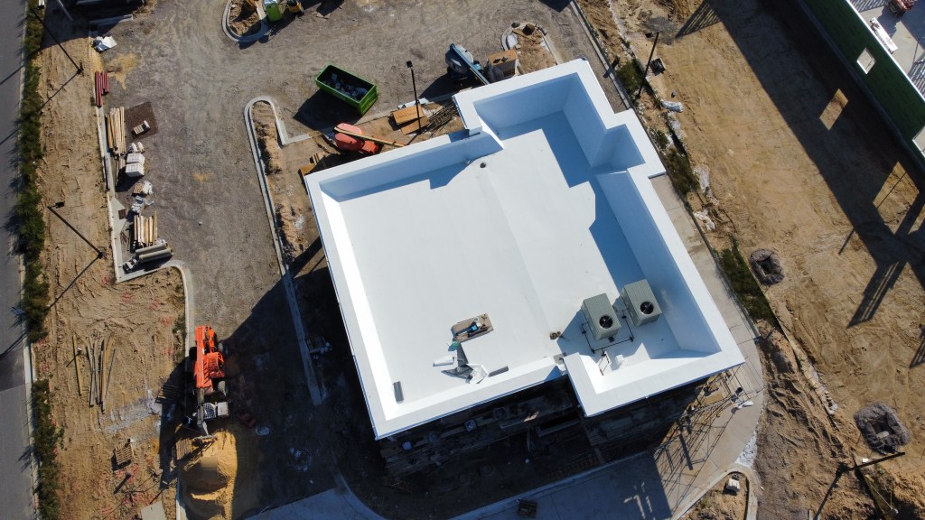
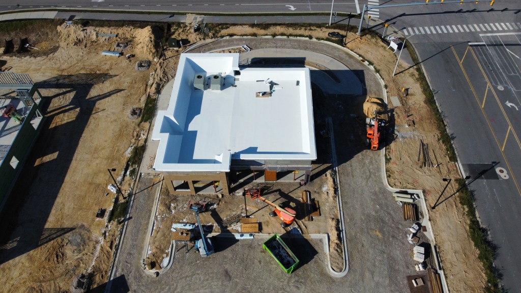
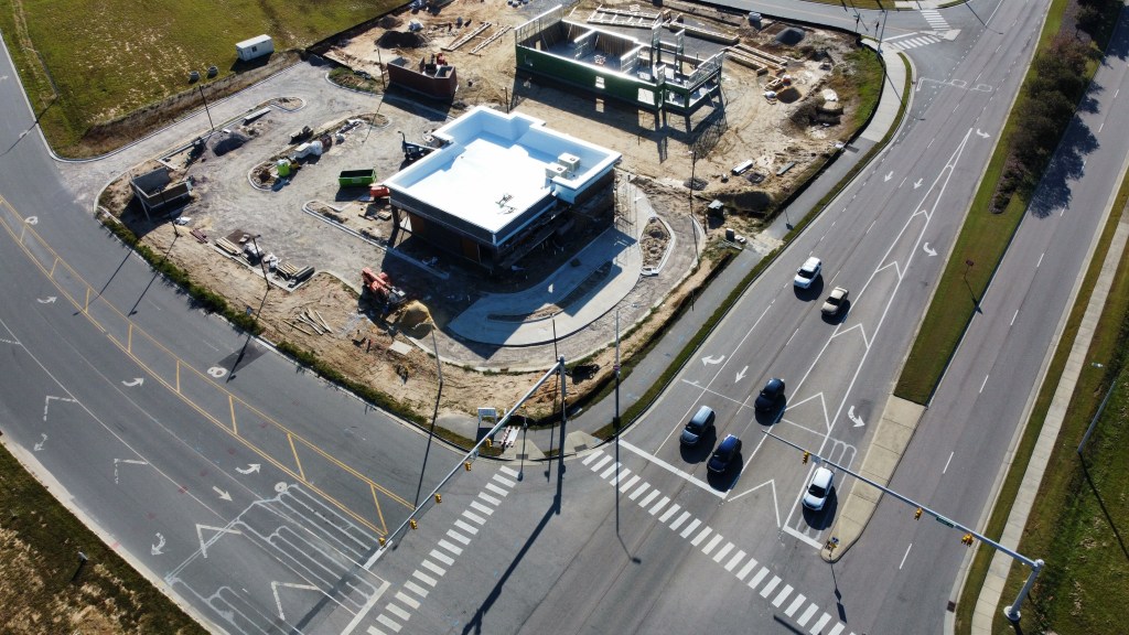
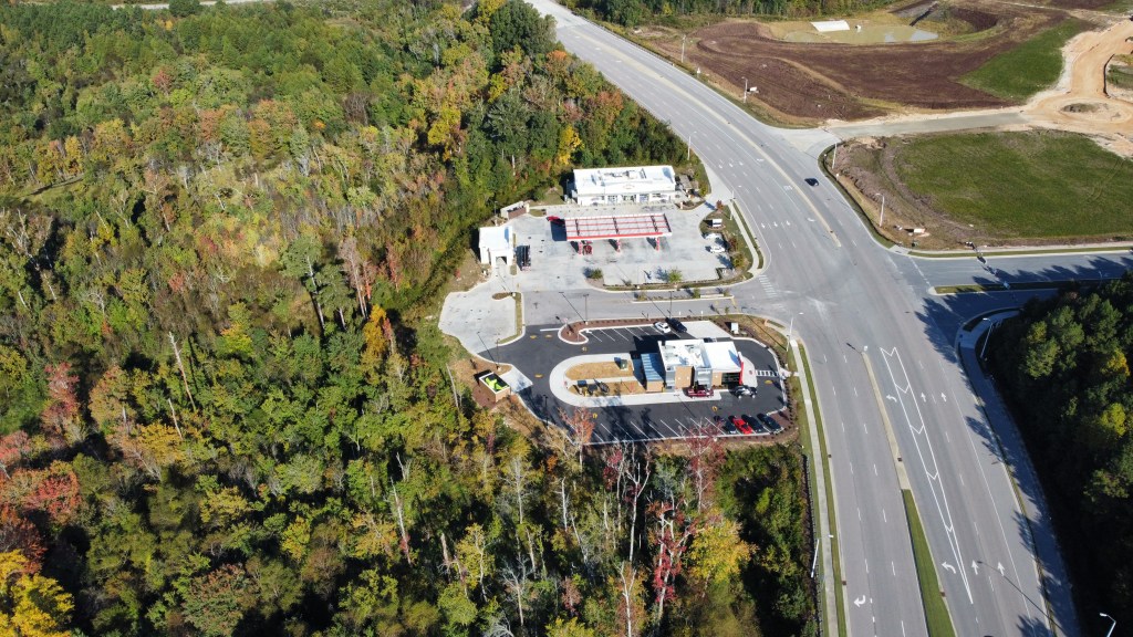
Work has wrapped up on the exterior and we could be approaching opening before the holidays! They really spent some money on their finishes, look at the brick parking spots.
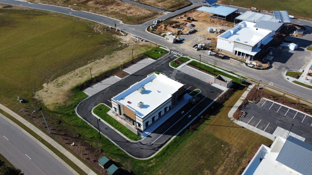
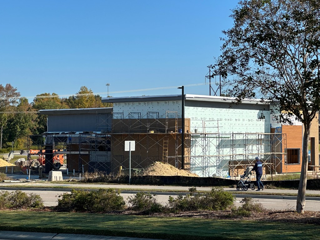
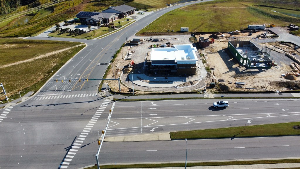
Starbucks building and Bojangles
Starbucks isn’t messing around. The building is taking shape very quickly, and the exterior is nearly complete. The building will contain a drive-thru Starbucks, Jersey Mike’s Subs, and a tenant to be announced.
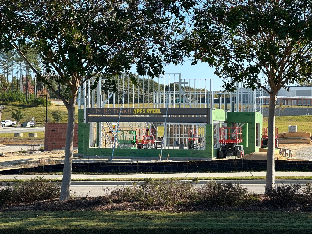
Bojangles is working on their exterior framing and finishes.
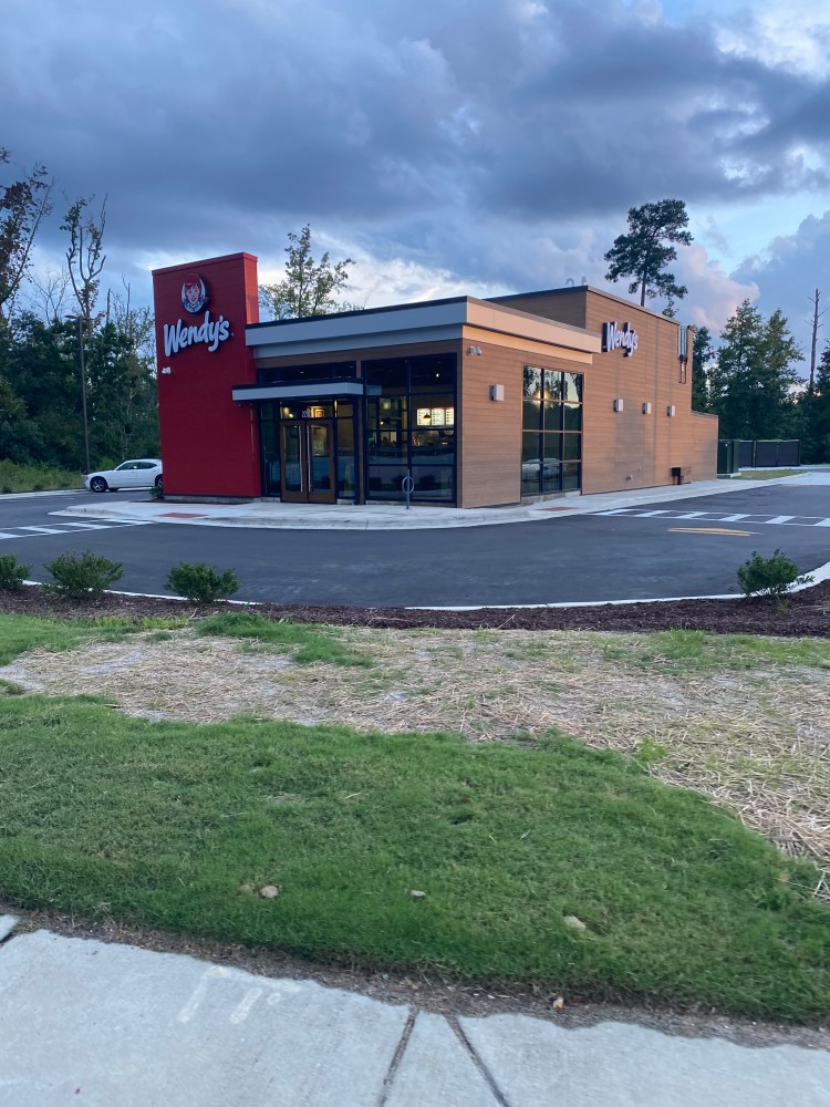
Wendy’s
Now Open!
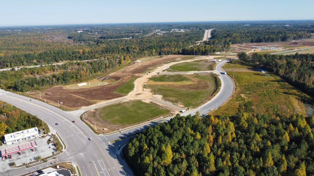
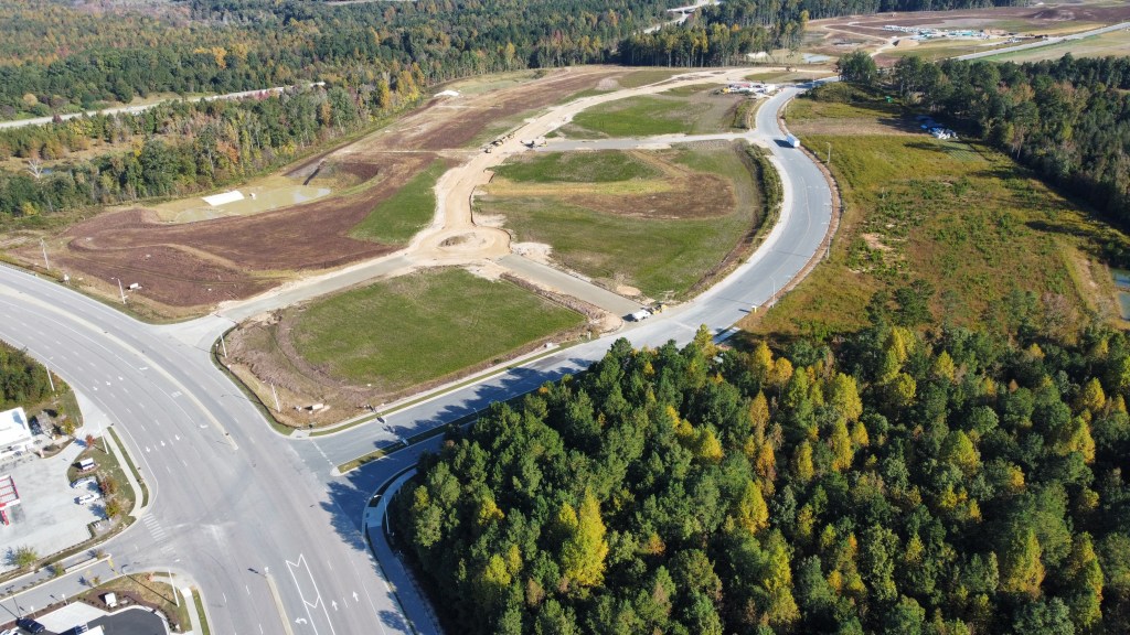
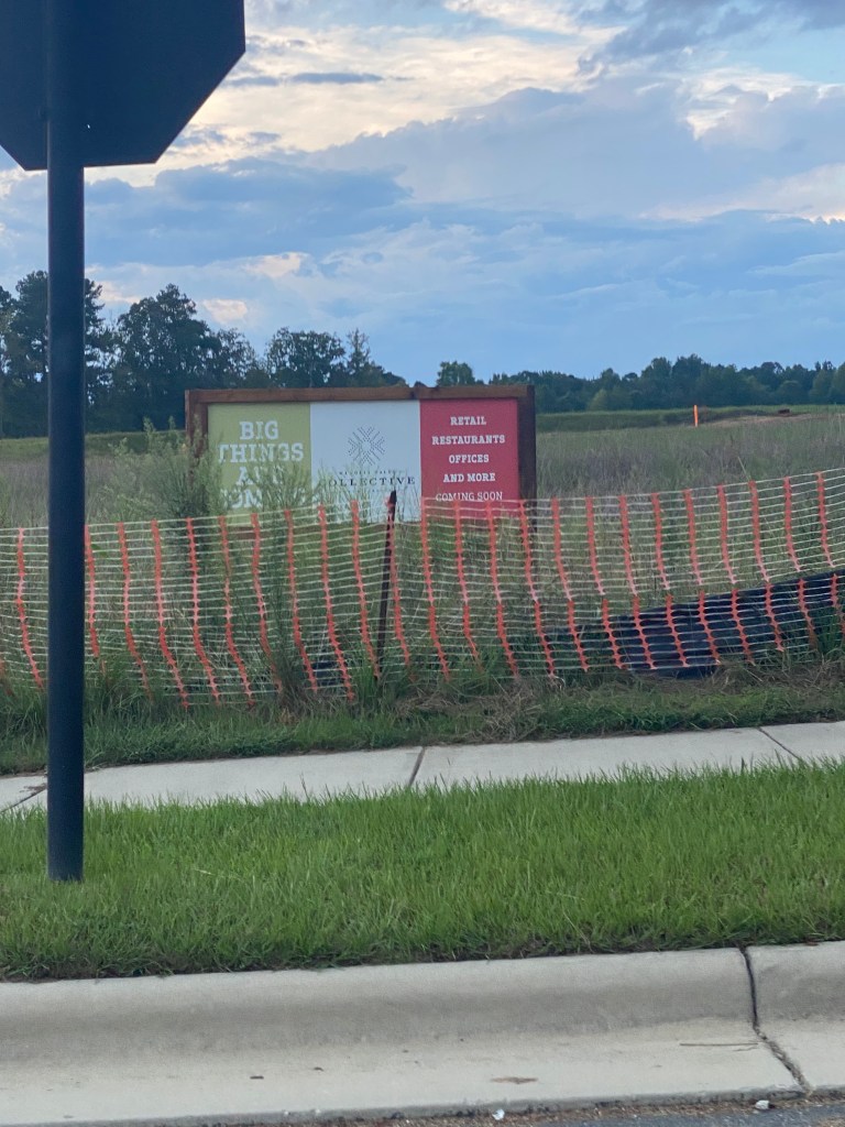
The Collective
Roadway infrastructure is being implemented now and we should see paving in the next few weeks.
JLL
JLL has put out new marketing material that paints a picture of what may be to come! Plans could include another grocery store, pharmacy, movies, hotel, apartments, retail, restaurants and office. Be sure to check out the fly-through video on page 9!
JLLCBRE Raleigh
There’s also some plots of land that are not affiliated with Wendell Falls for sale adjacent to the Collective but are priced way above market value and have seen no movement since being listed.
Zillow.com
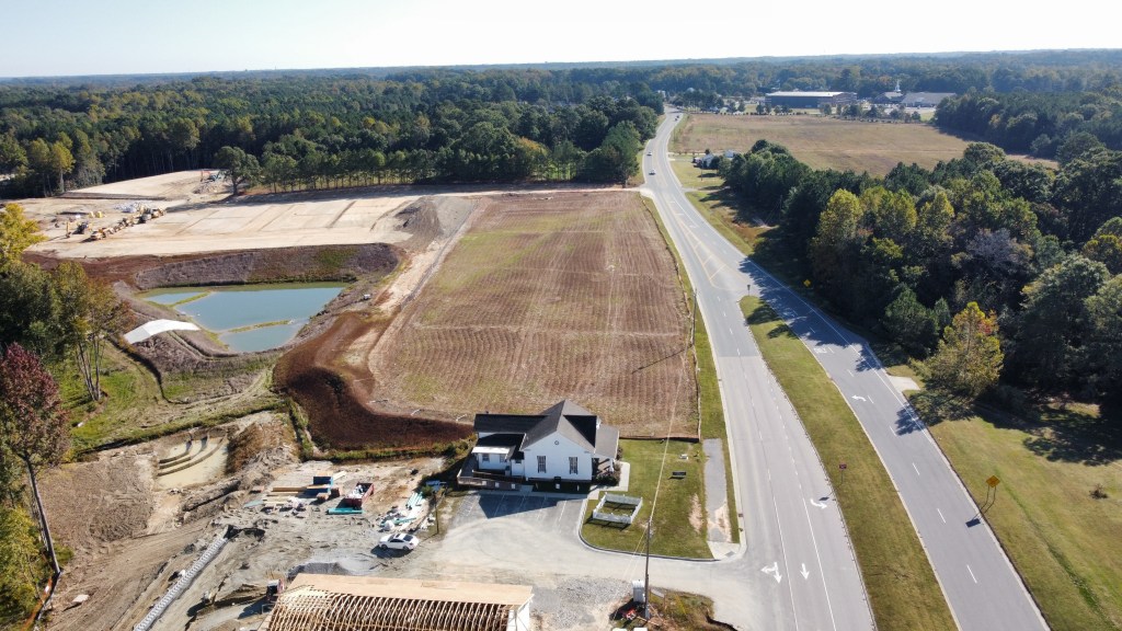
Adjacent to the Lifestyle District will be Wake Med. Still no word when work may begin.
Behind there will be the Collective Office District where grading is underway where paving should also take place soon.
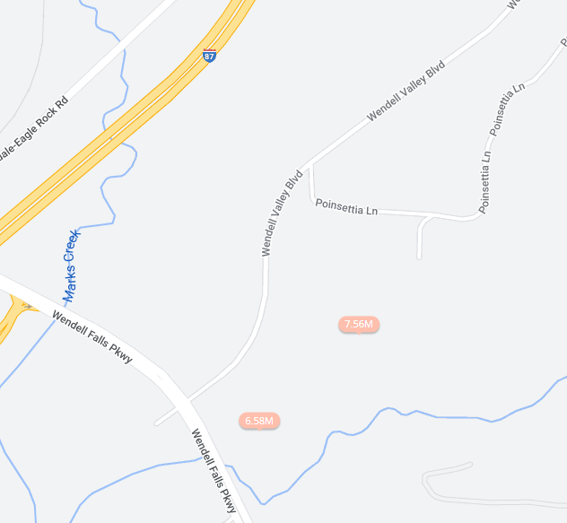
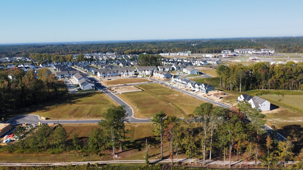
And finally, parts of Phase 10 have been paved! We could be getting close to Wendell Valley Blvd opening.
Phase 11 has started clearing. These phases will include roughly 500 residential lots as well as a new pool. It’s important to note that there will be no connection between Phase 9 and 10/11 so travel on Wendell Falls Pkwy will be necessary. My hope is that a trail along the sewer easement is at least constructed.
Even further out, toward and even past Knightdale-Eagle Rock Rd, will be another two future Residential phases and even perhaps some industrial on the NW side of Knightdale-Eagle Rock. This will backup to the upcoming Wendell Commerce Center and provide a direct connection to the Wake Tech area. For more on all that see https://philveasley.com/2022/09/11/september-2022-wendell-development-updates/.
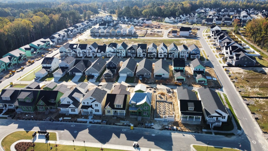
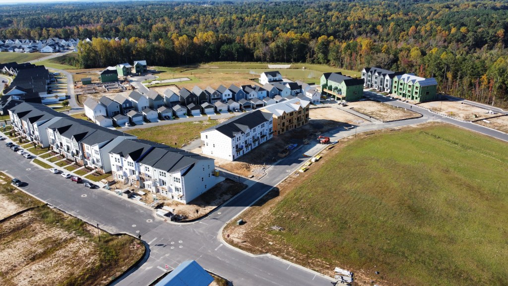
Neuse River Vet and Martin Pond Apartments / Outparcels
Neuse River Vet is framed and will receive it’s exterior finishes next.
The Richardson Apartment and Townhome section has been fully graded and infrastructure work is well underway.
The other three outparcels have been graded and one is under contract. We’ve not heard what it may be yet.
CBRE Raleigh
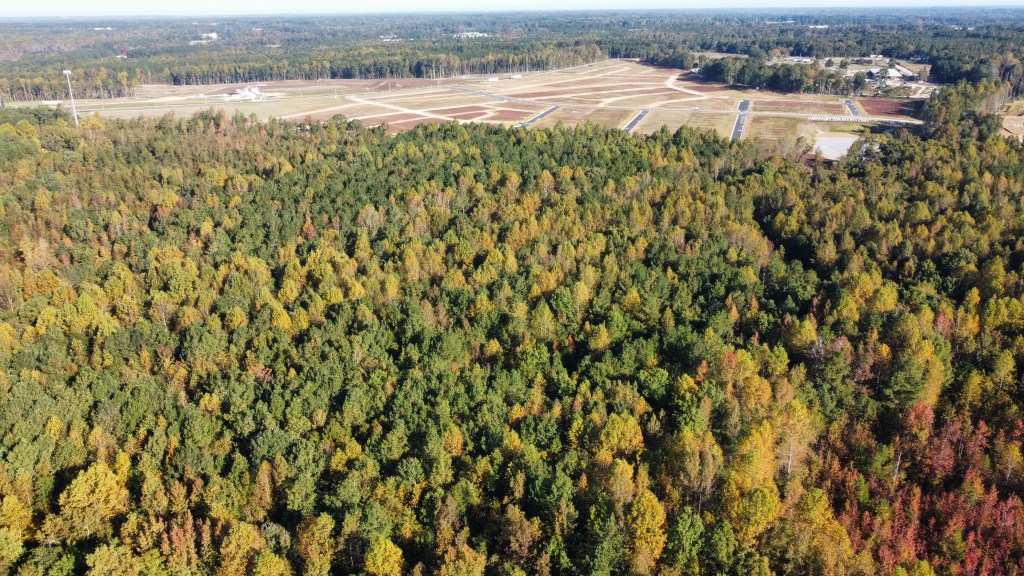
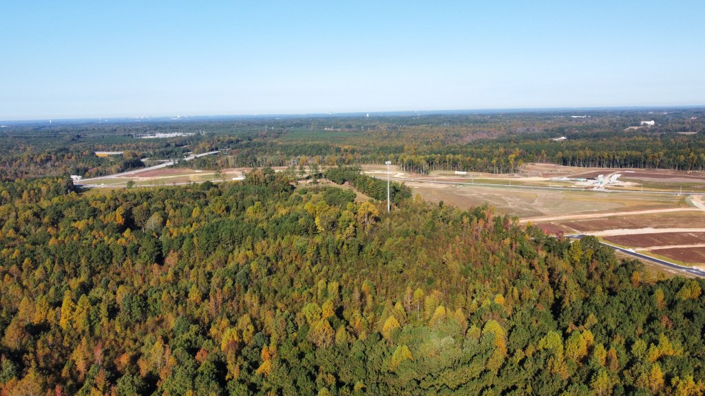
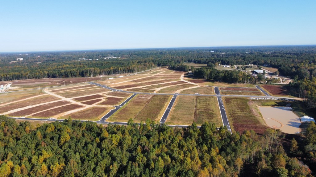
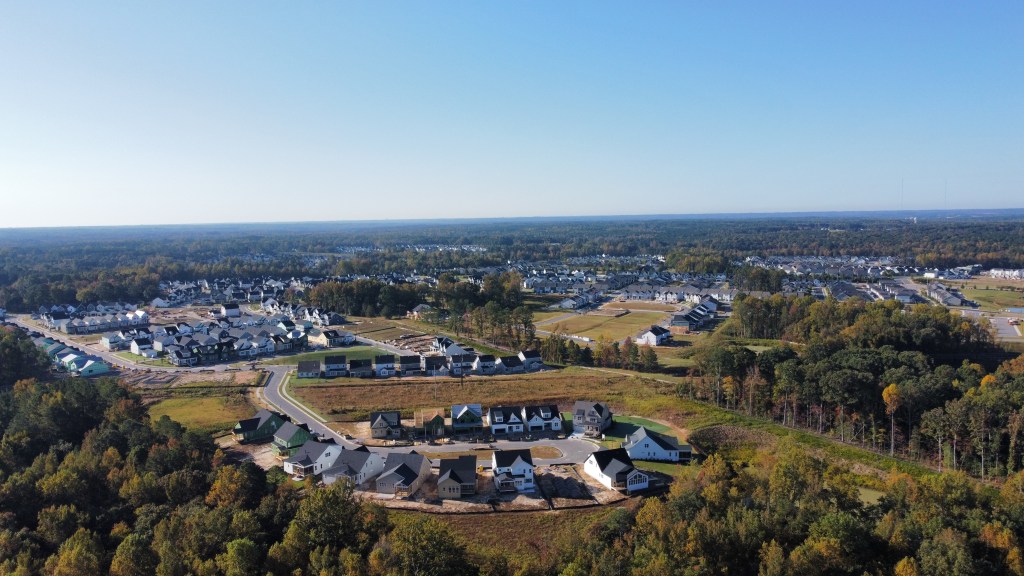
Residential Phases Work continues on tons of homes in Phases 9B, 9C, and 12.
Illustrative graphics courtesy of CBRE. Drone photography is for recreational purposes only. Views and insights are mine and not representative of my employer or any organization.
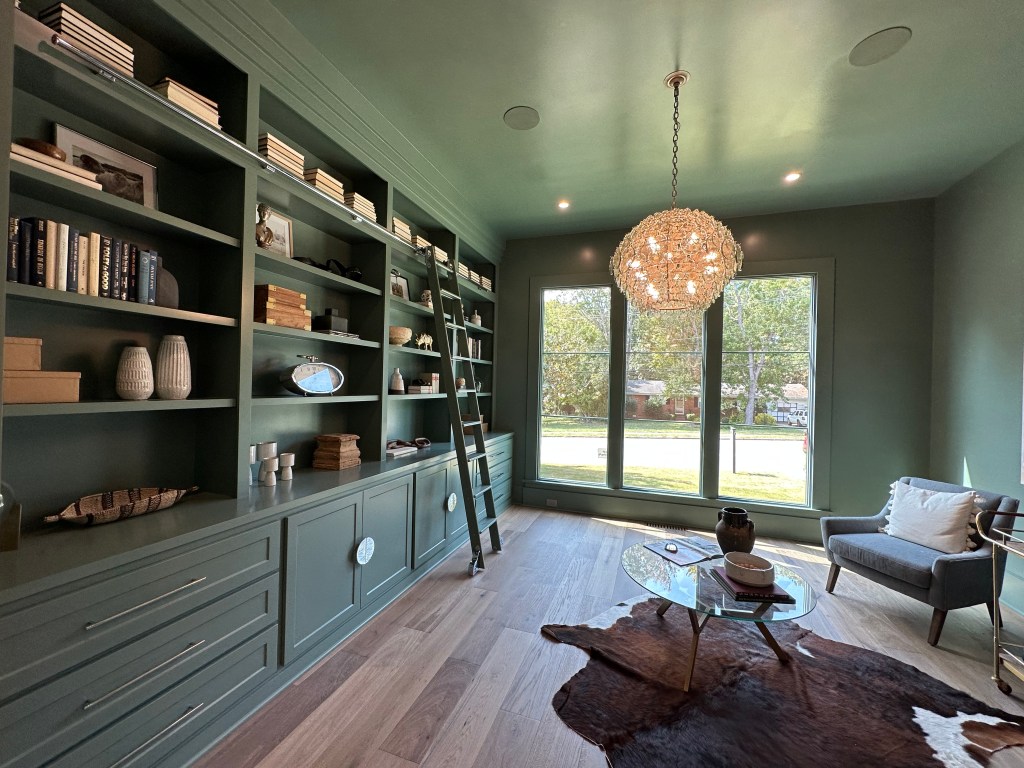
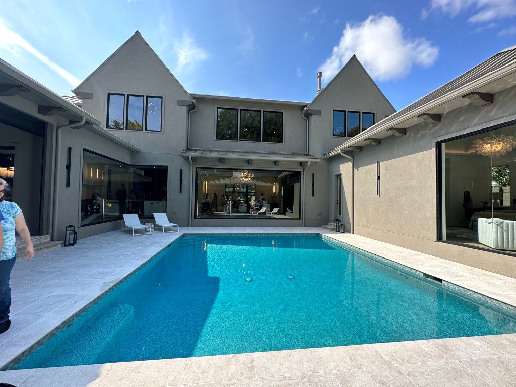
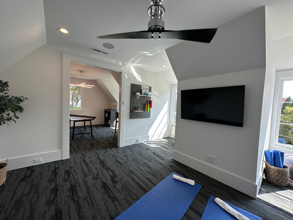
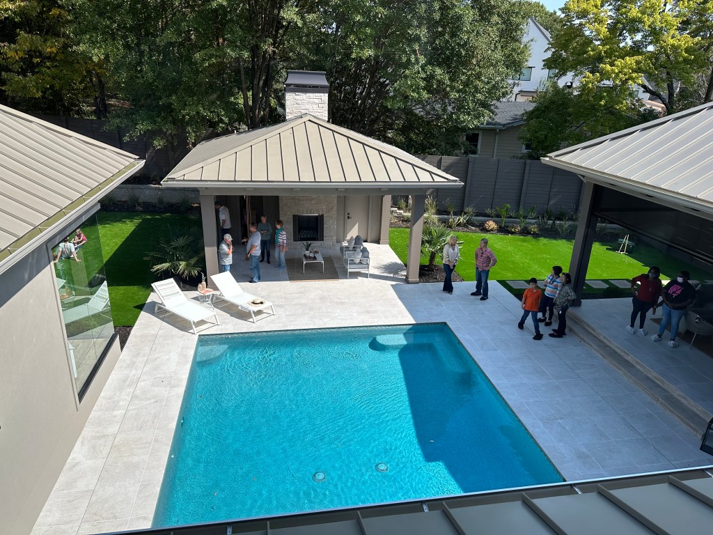
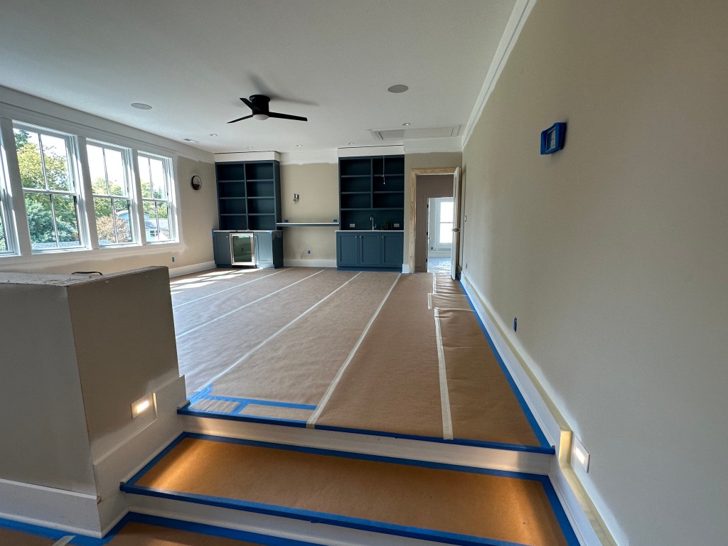
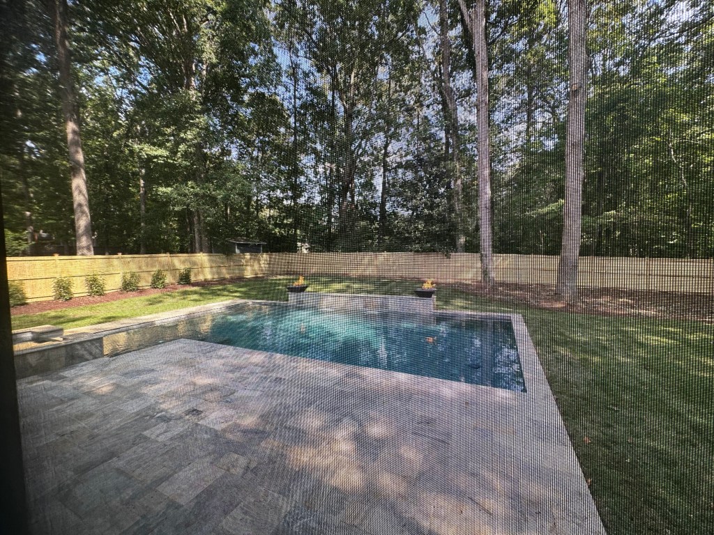
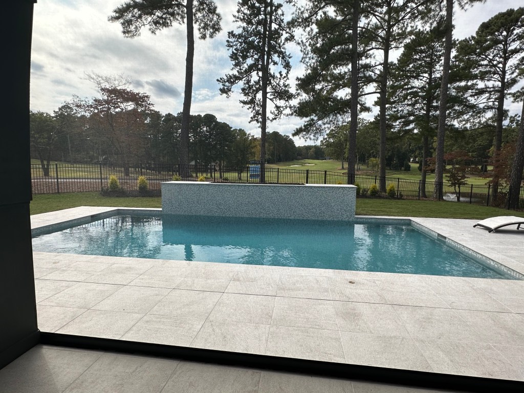
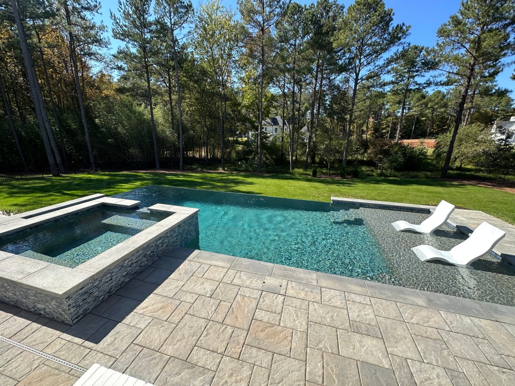
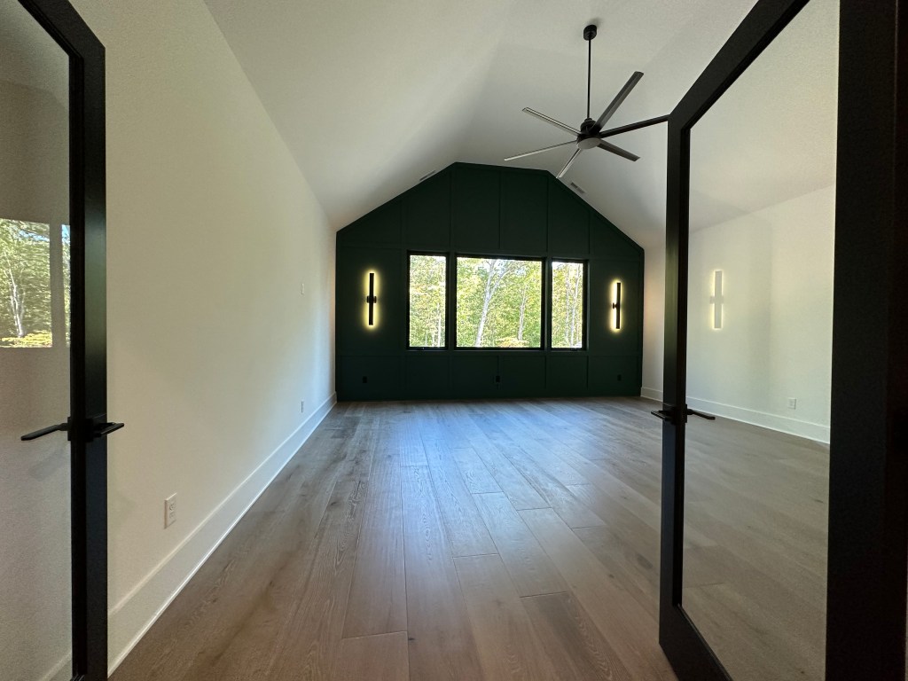
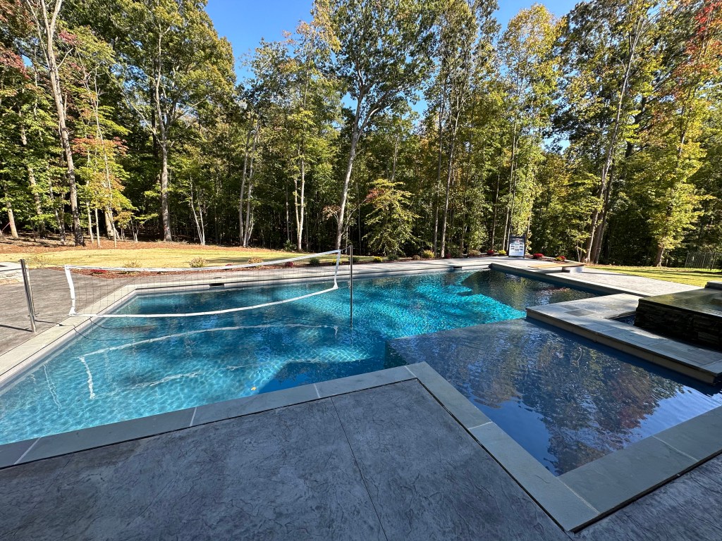
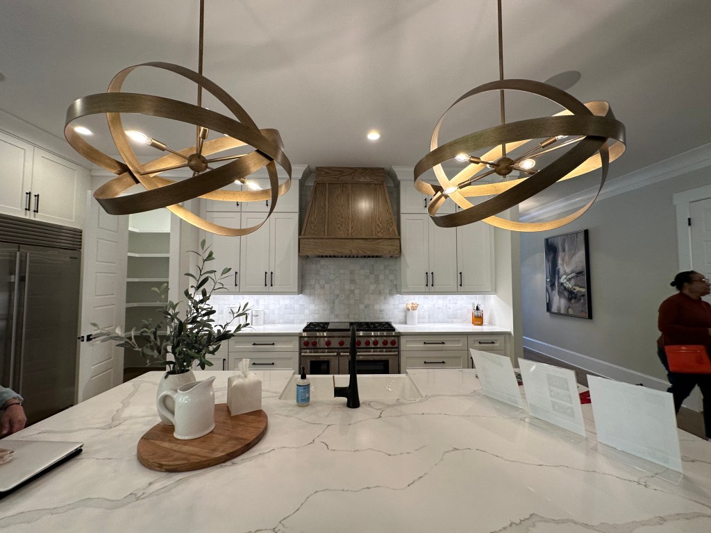
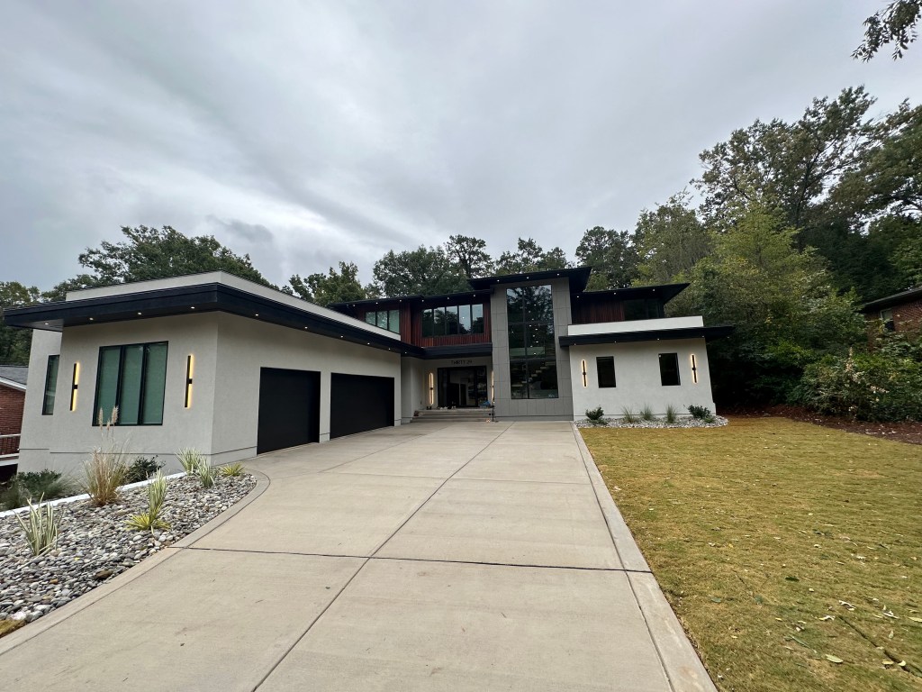
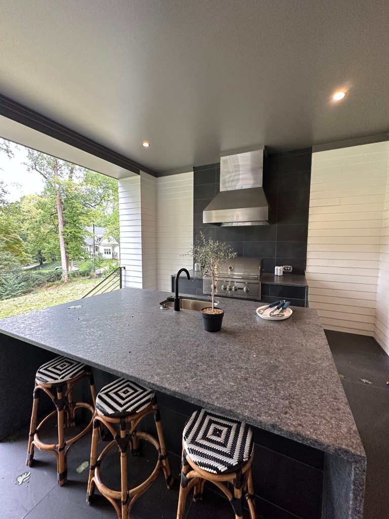
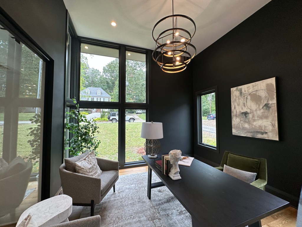
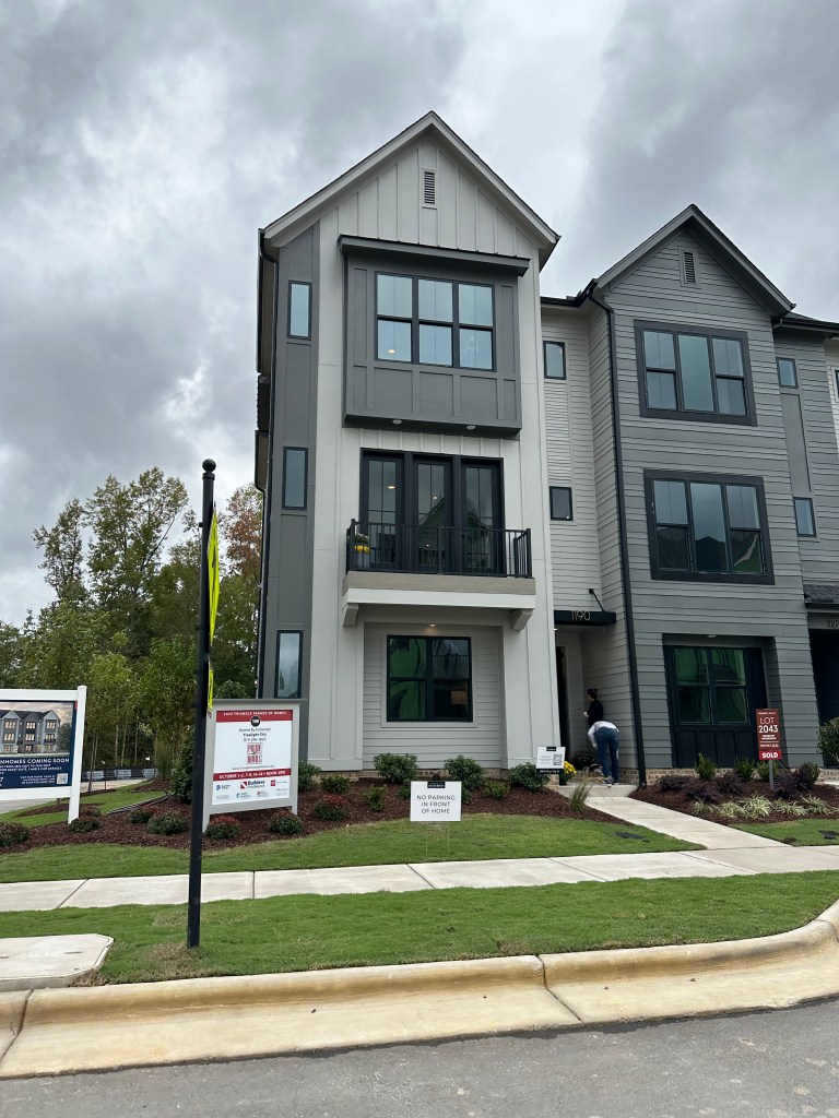
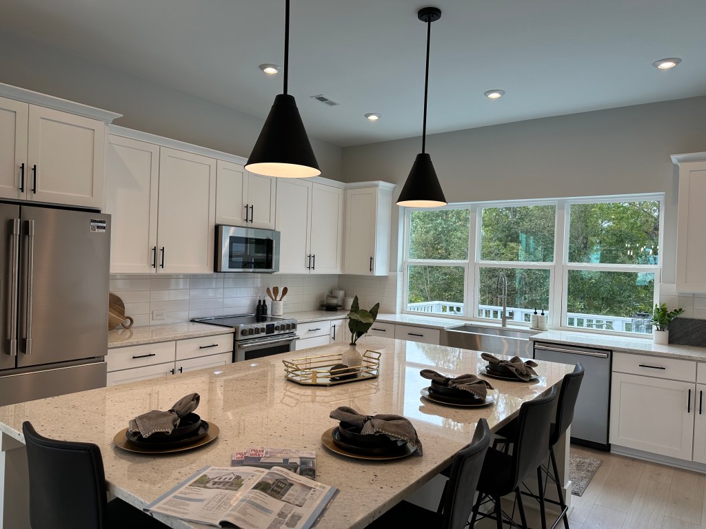
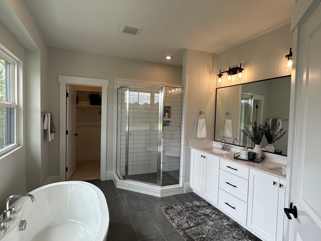
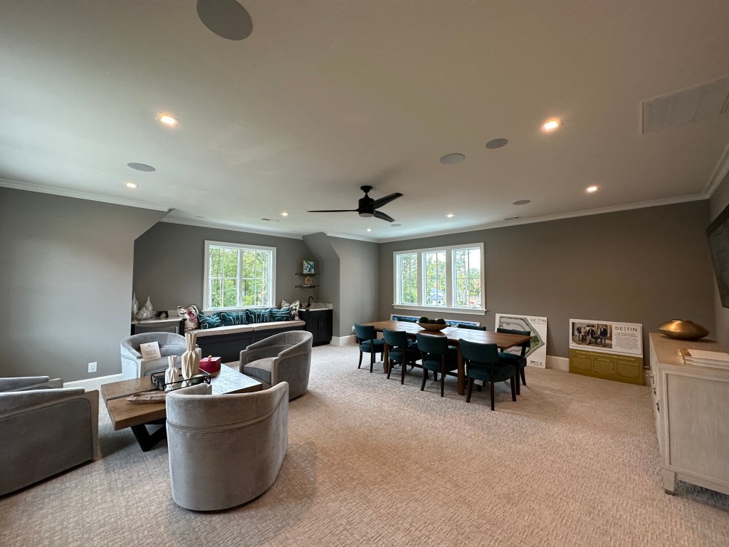
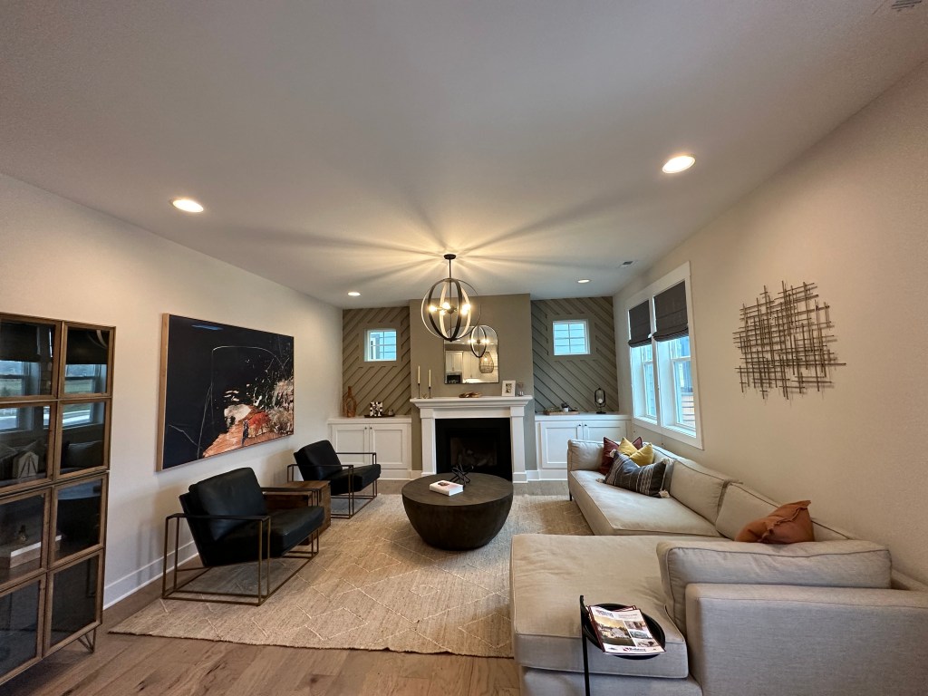
Located in West Raleigh’s wooded mansion areas this home features incredible finishes and a wonderful pool but the exterior and finishes weren’t my style. Other missed opportunities for me are lack of upper porch with the flat roofs and location. Despite being “in town” there are no sidewalks or things to walk to.
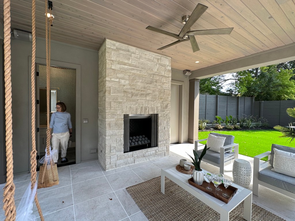
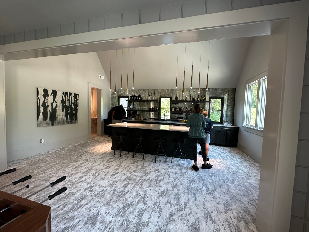
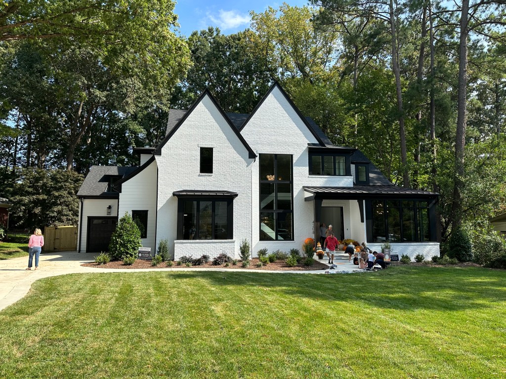
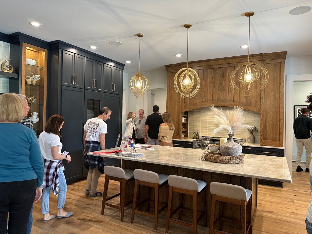
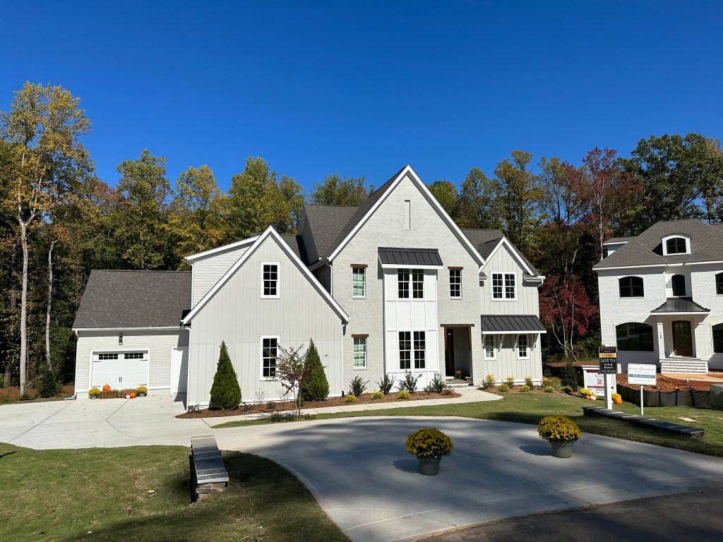
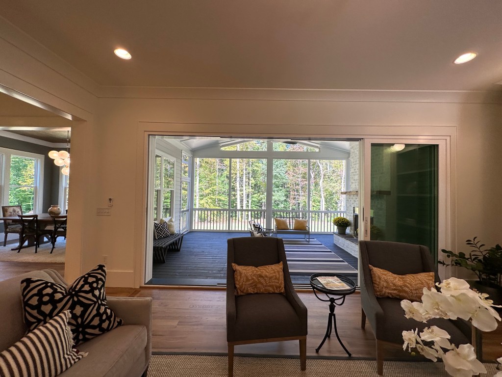
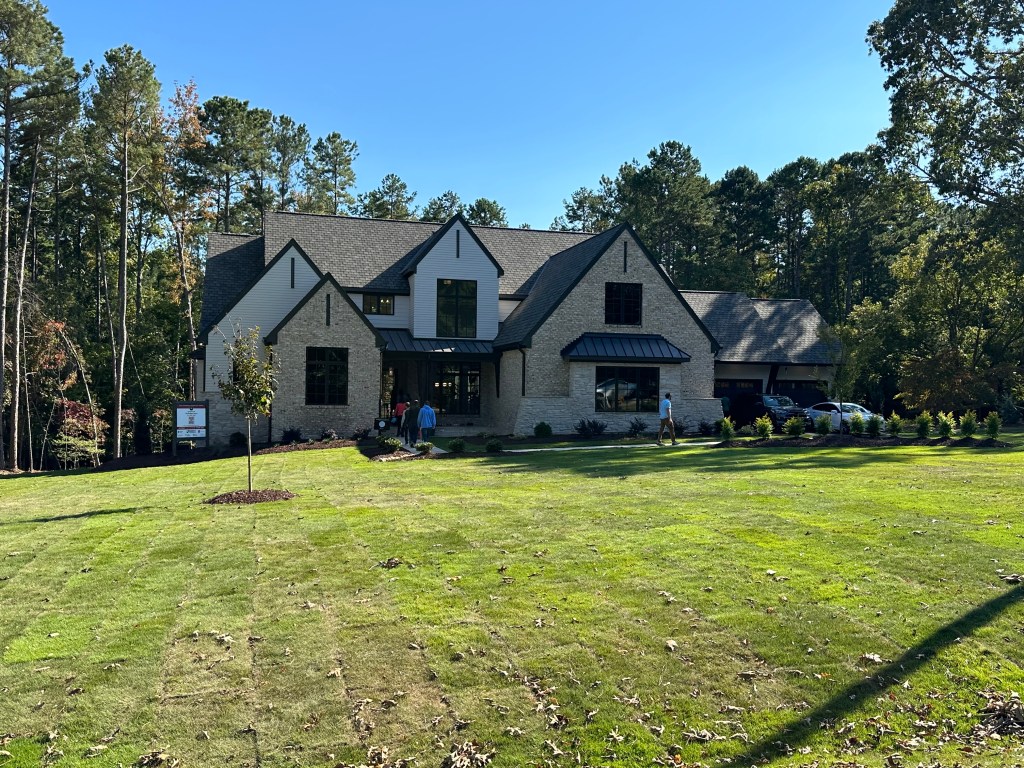
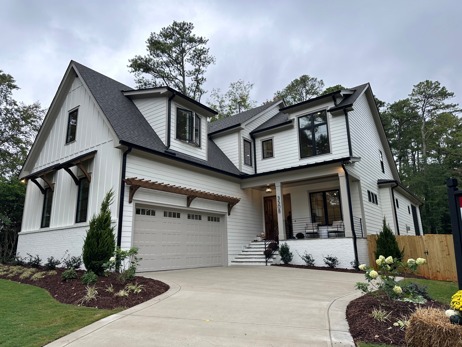
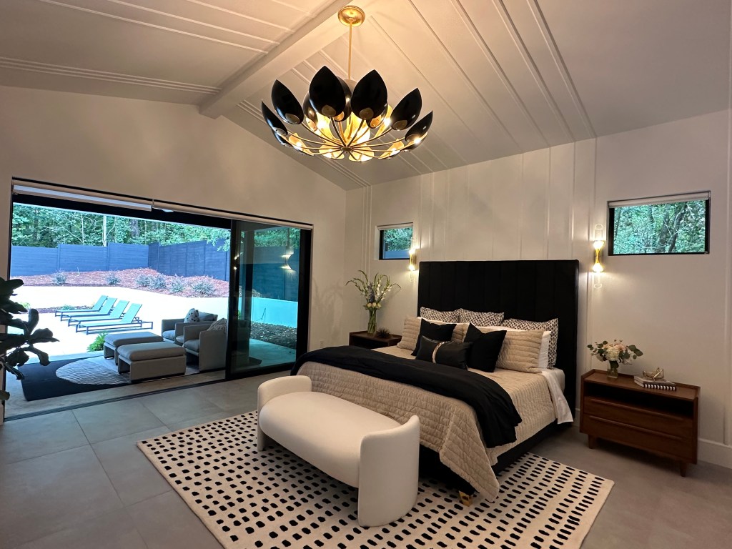
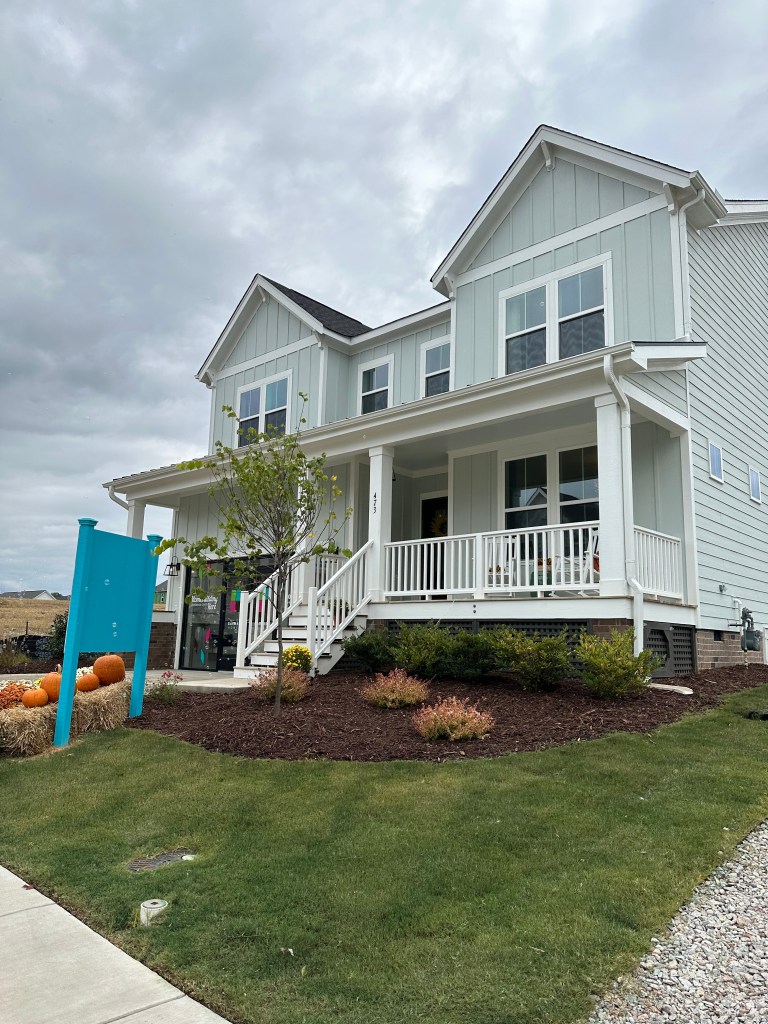
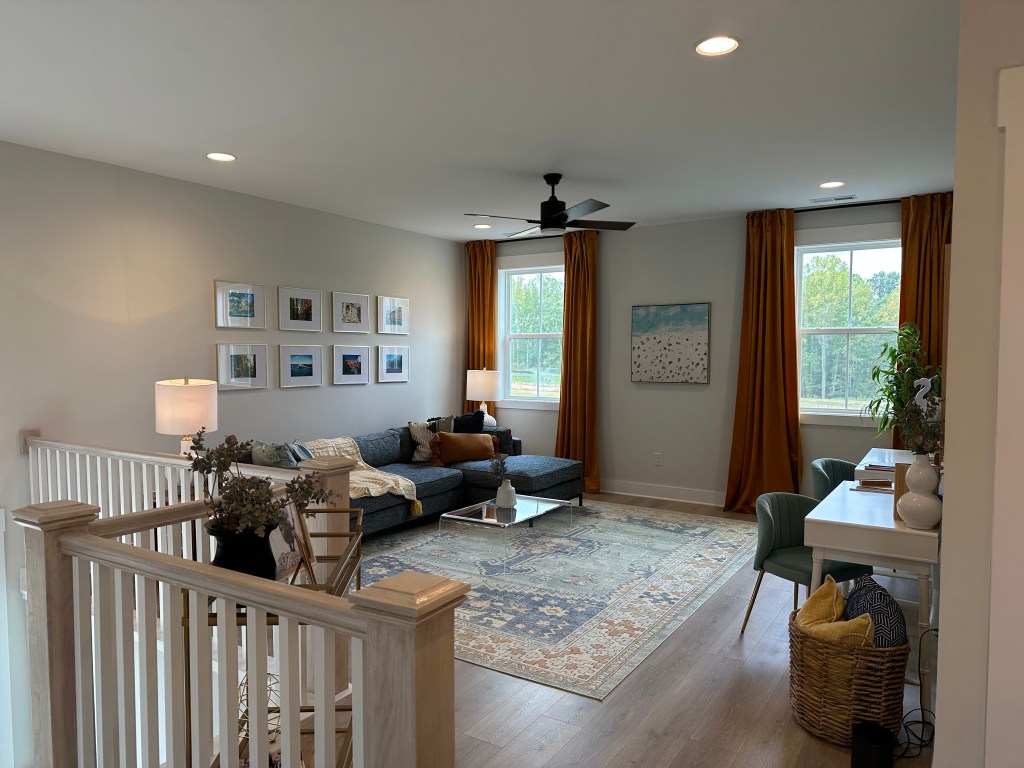
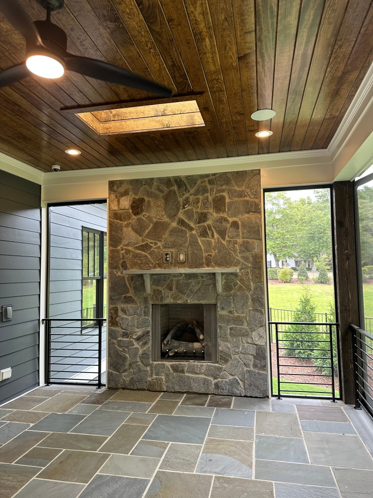
This one will be in contention for show favorite for me. Very home feeling modern farmhouse with upscale but natural feeling finishes Big plus for the existing trees that remained in the front yard. Also located close to Whole Foods and numerous bike trails. Only thing that could make it better would be an upper porch – yes that will be a trend with my analysis.
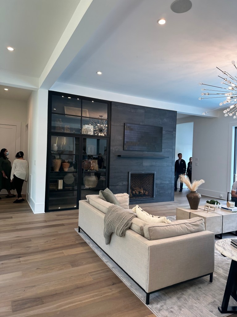
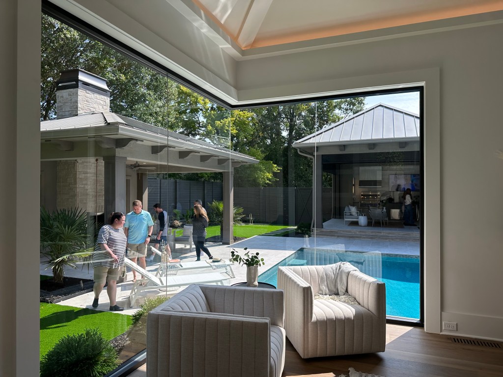
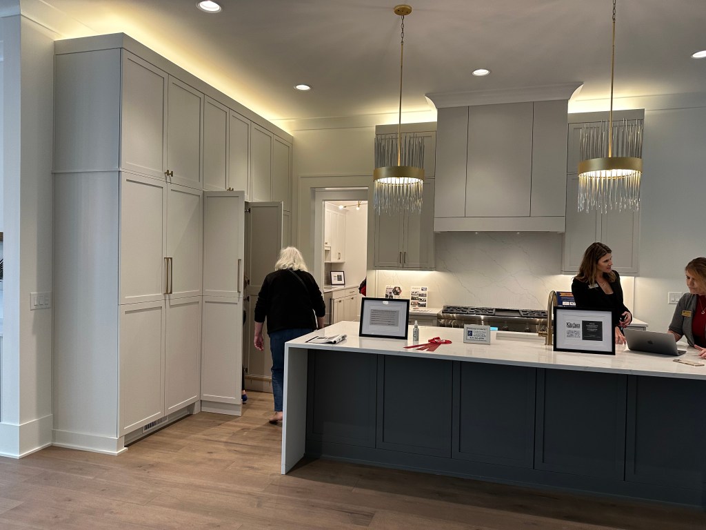
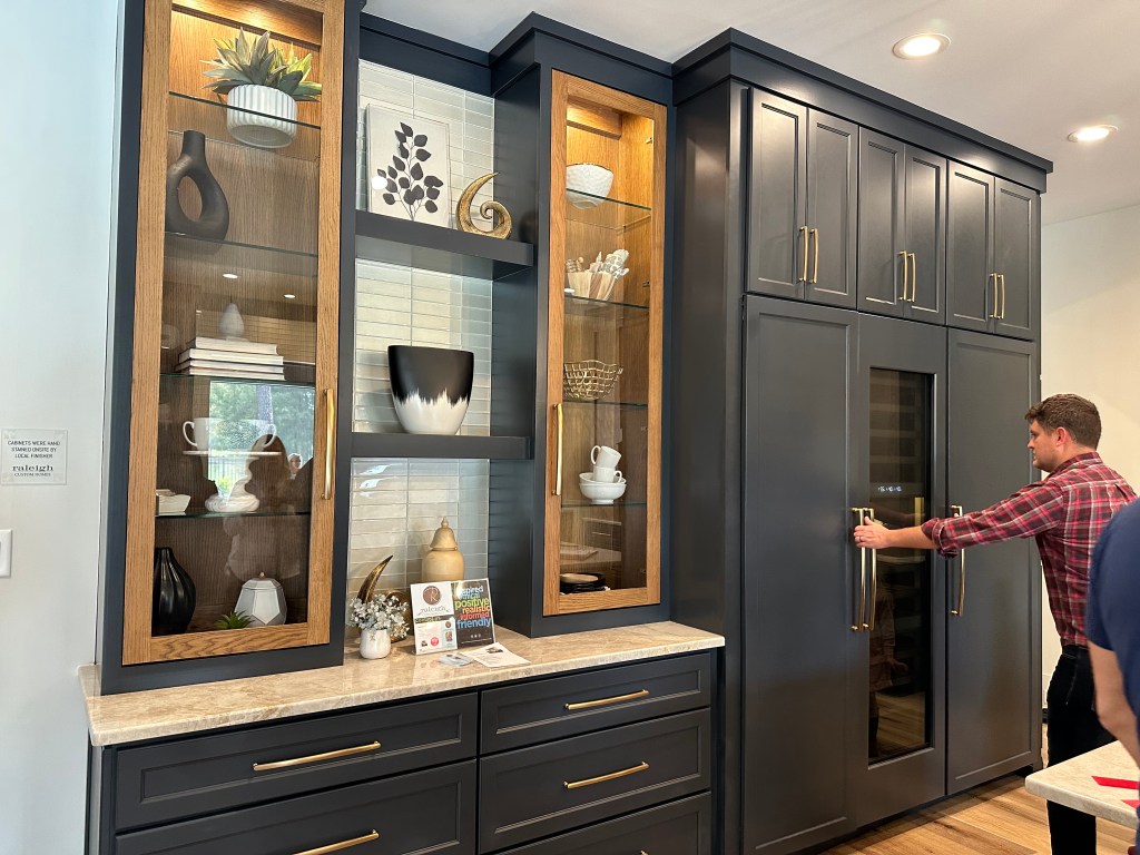
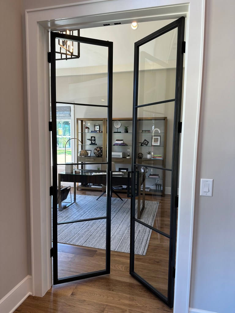
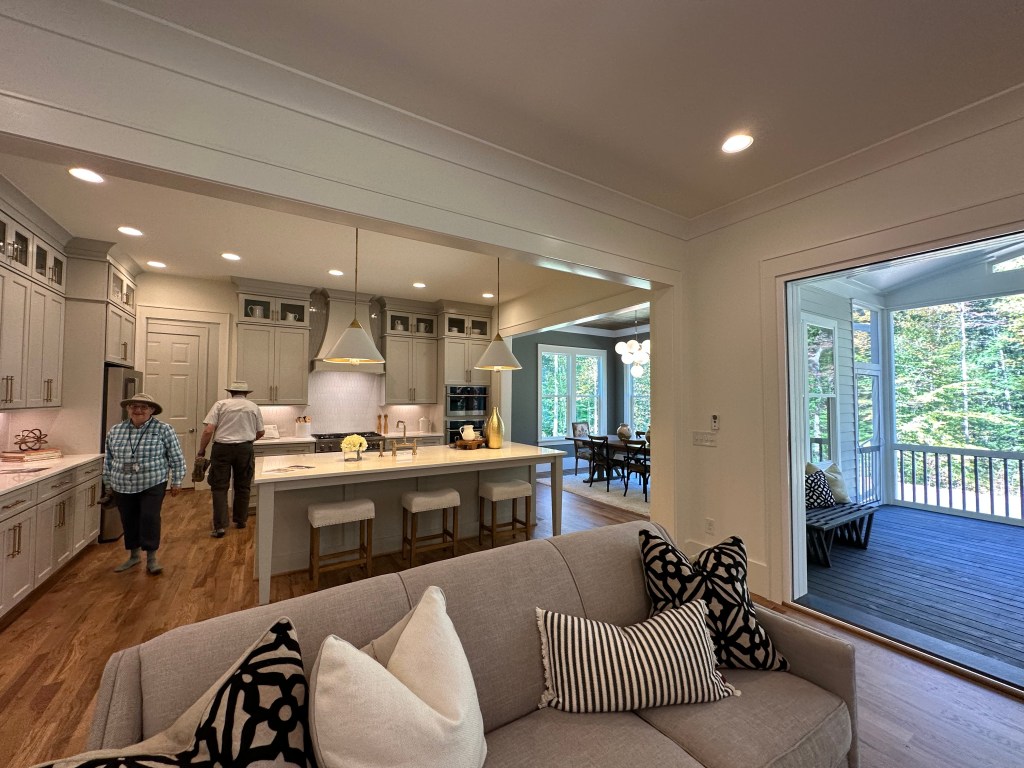
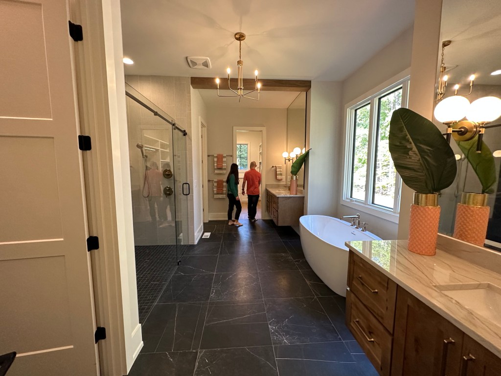
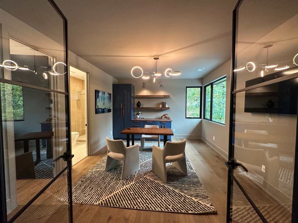
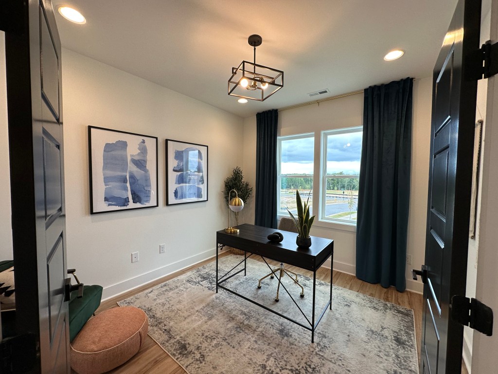
Modern industrial doors for the office were about all I could focus on! But that was countered with the lack of sliders off the living room to the outdoor area.
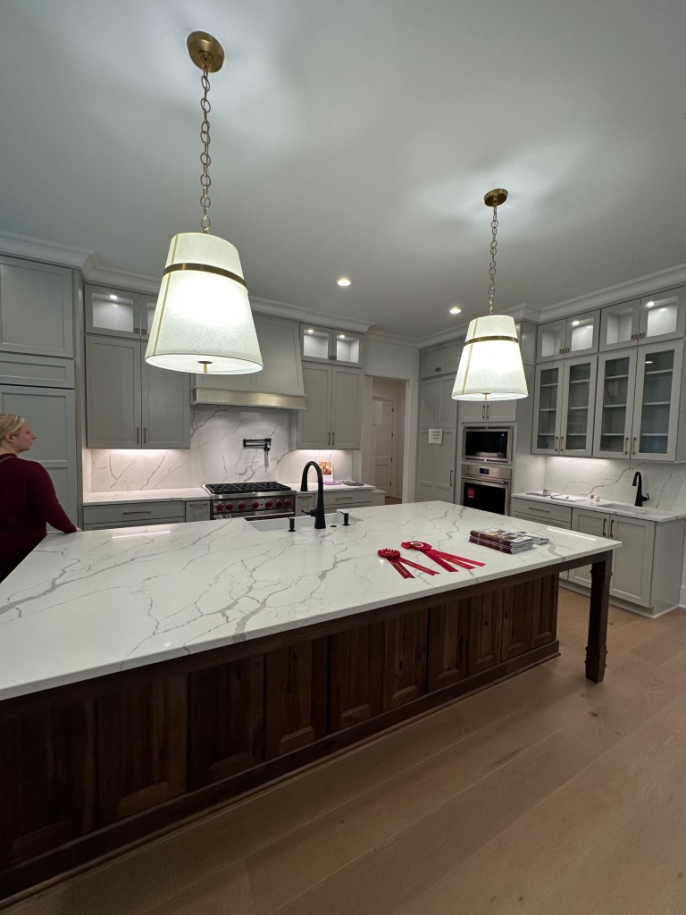
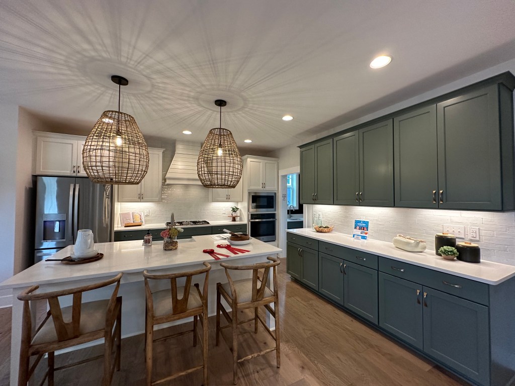
Homes by Dickerson latest addition to Wendell Falls is a beauty! Amazing job on the exterior of this. My big nitpick is the cabinets though. Other big plusses are the front and back porches and black finishes. Add in the surprising level of walkability that Wendell Falls offers, it’s enough to draw many out of the city.
What a great family home by Garman. Great finishes and space for the price point within Wendell Falls. Probably my 3rd favorite floor plan Garman offers here in Wendell Falls behind the Beau and Castle in Brooklyn.
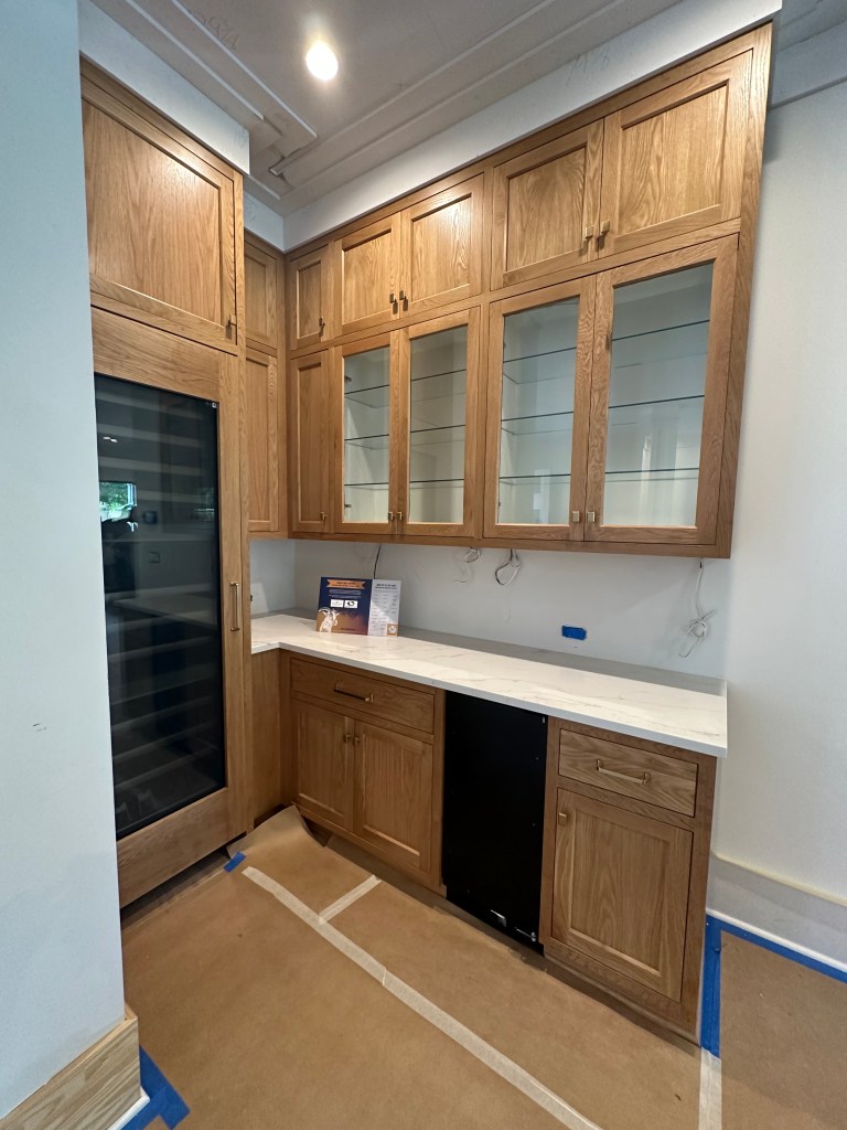
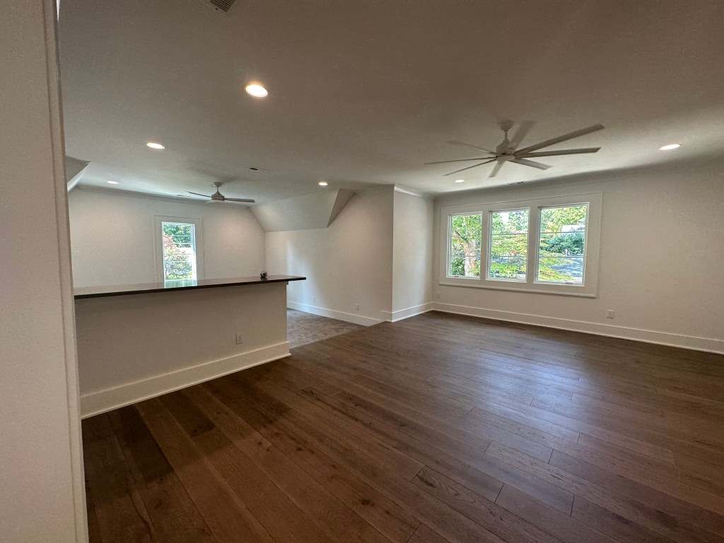
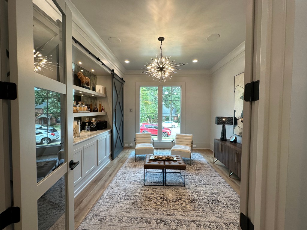
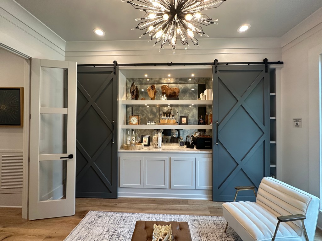
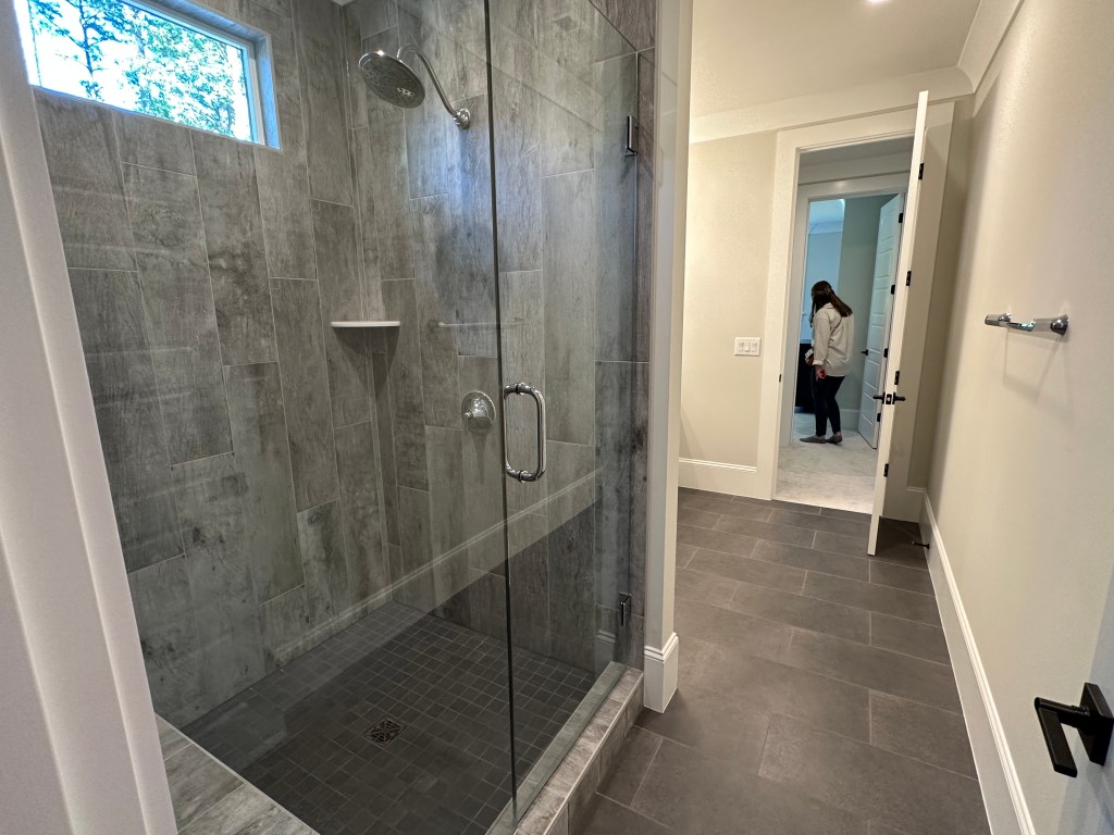
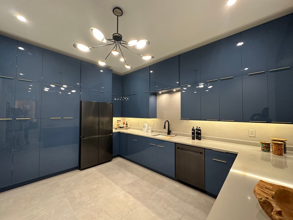
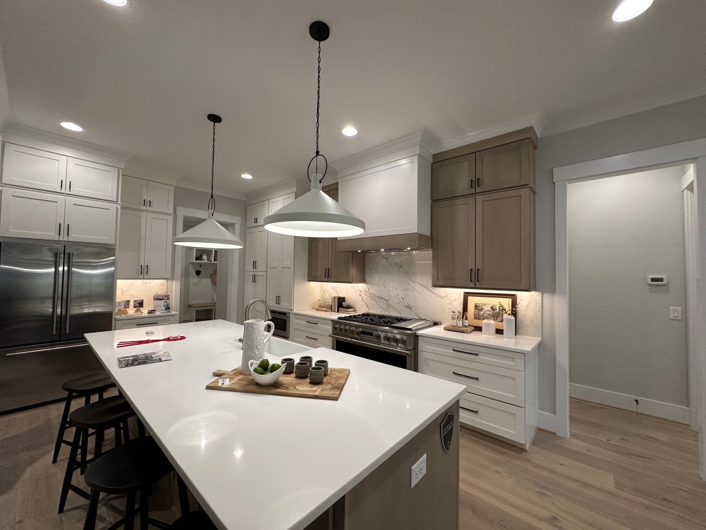
Garman’s first Wendell Falls townhomes did not disappoint finishes wise. The lack of openness between the kitchen and living, and lack of typical over driveway porch usually seen in these types of townhomes were major negatives. However for under 500k for 2500 sq ft, they may be the best bargain in Wendell Falls.
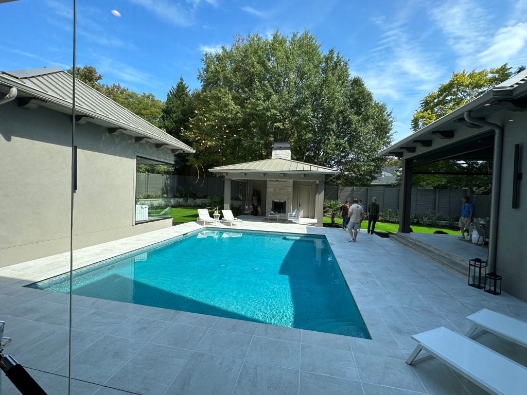
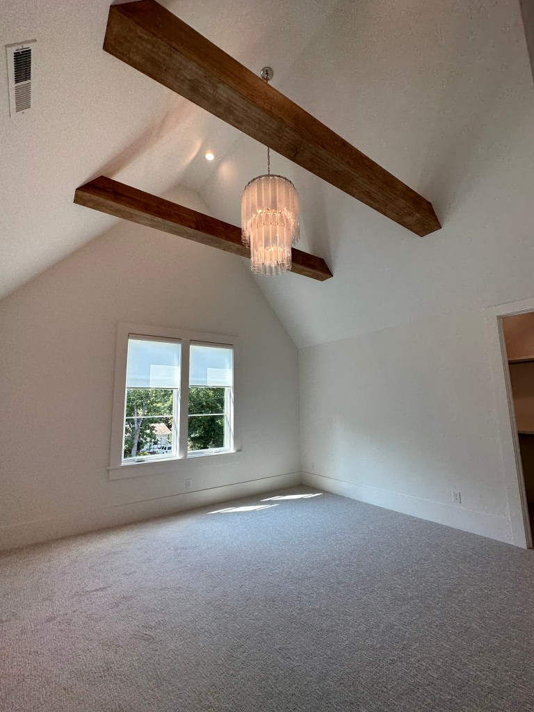
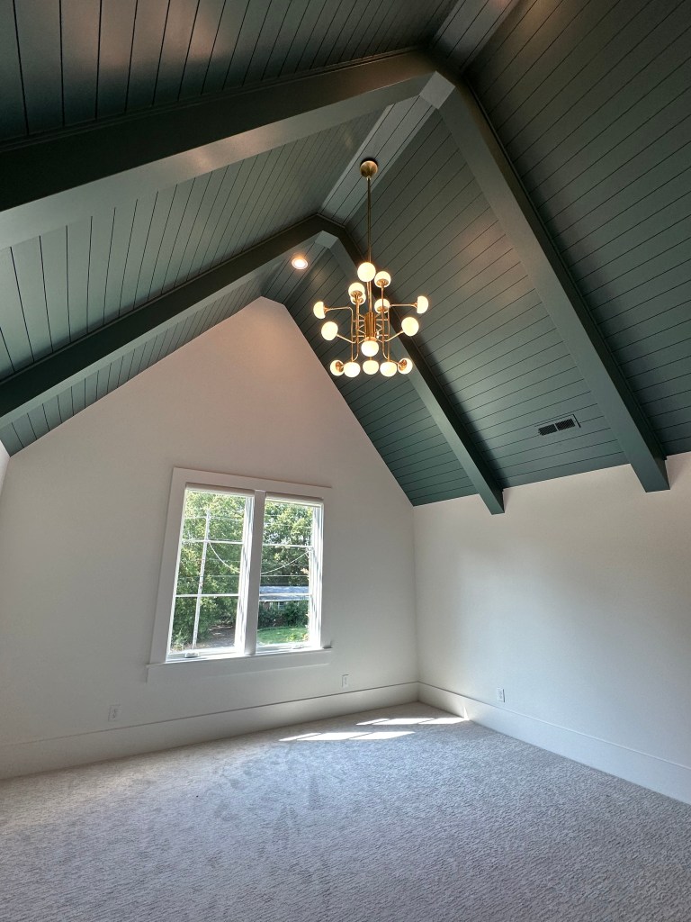
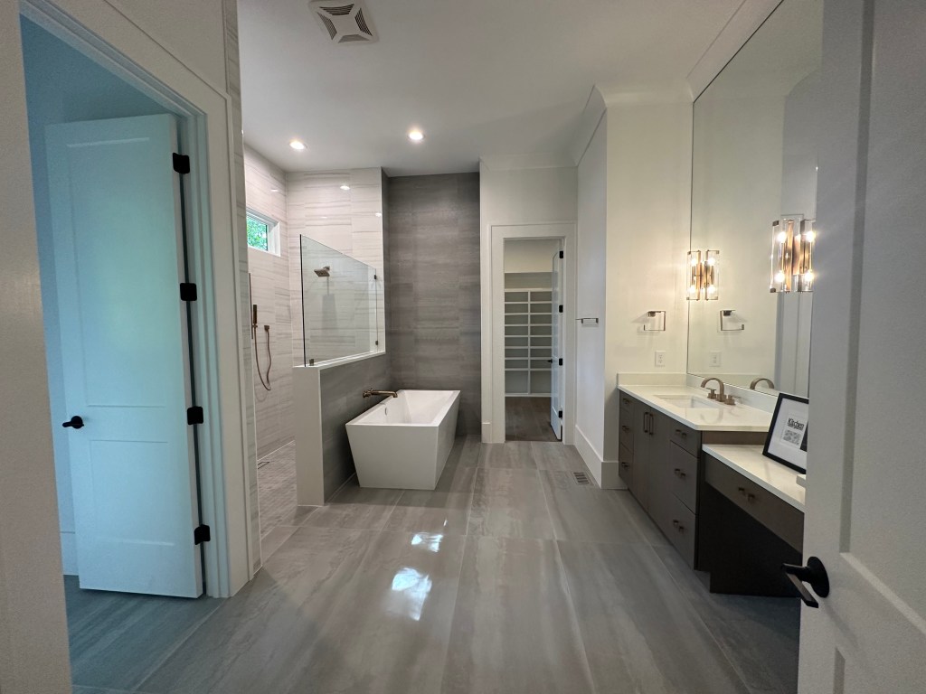
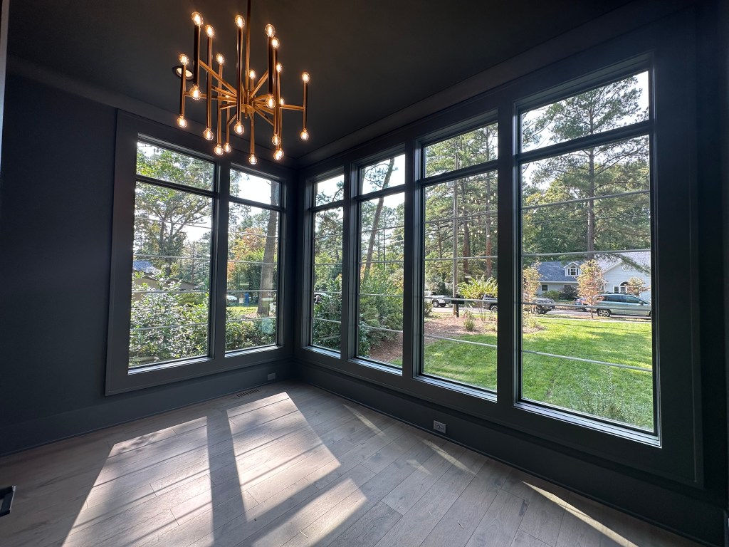
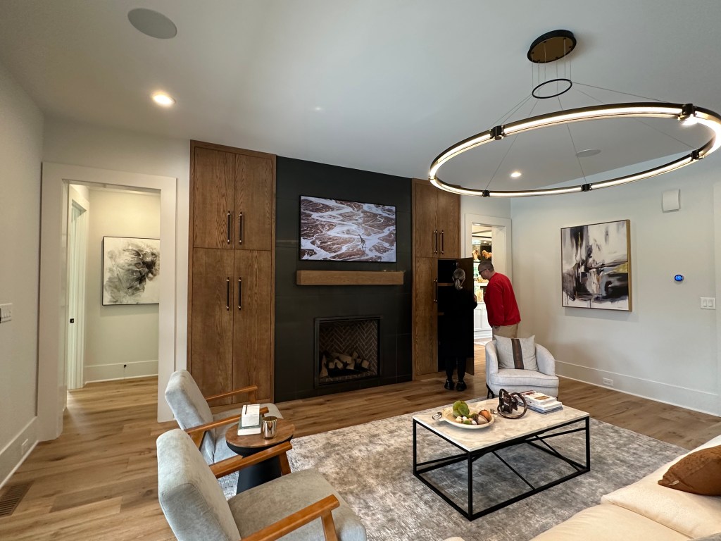
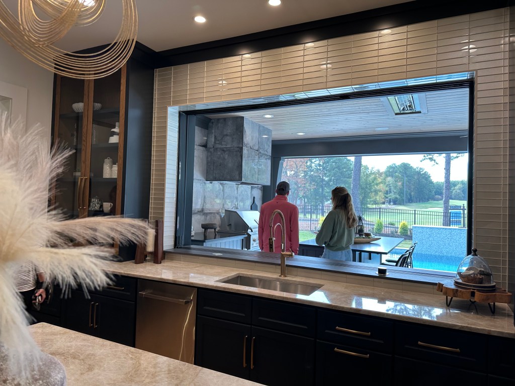
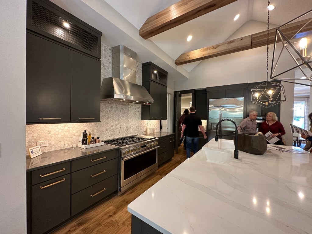
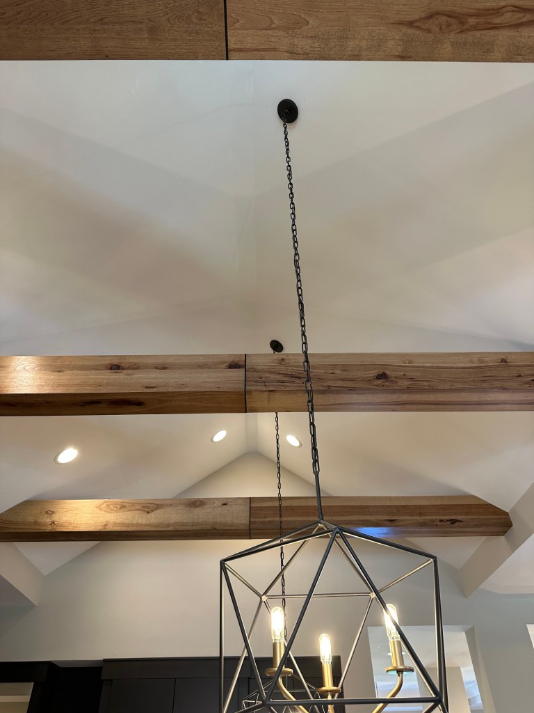
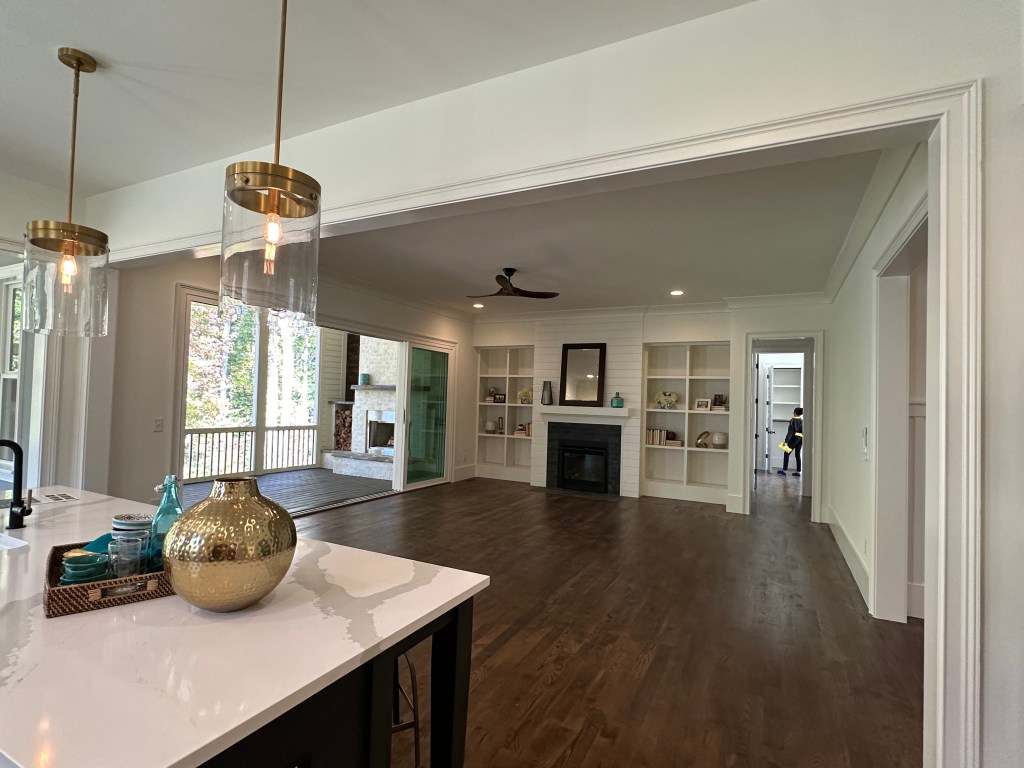
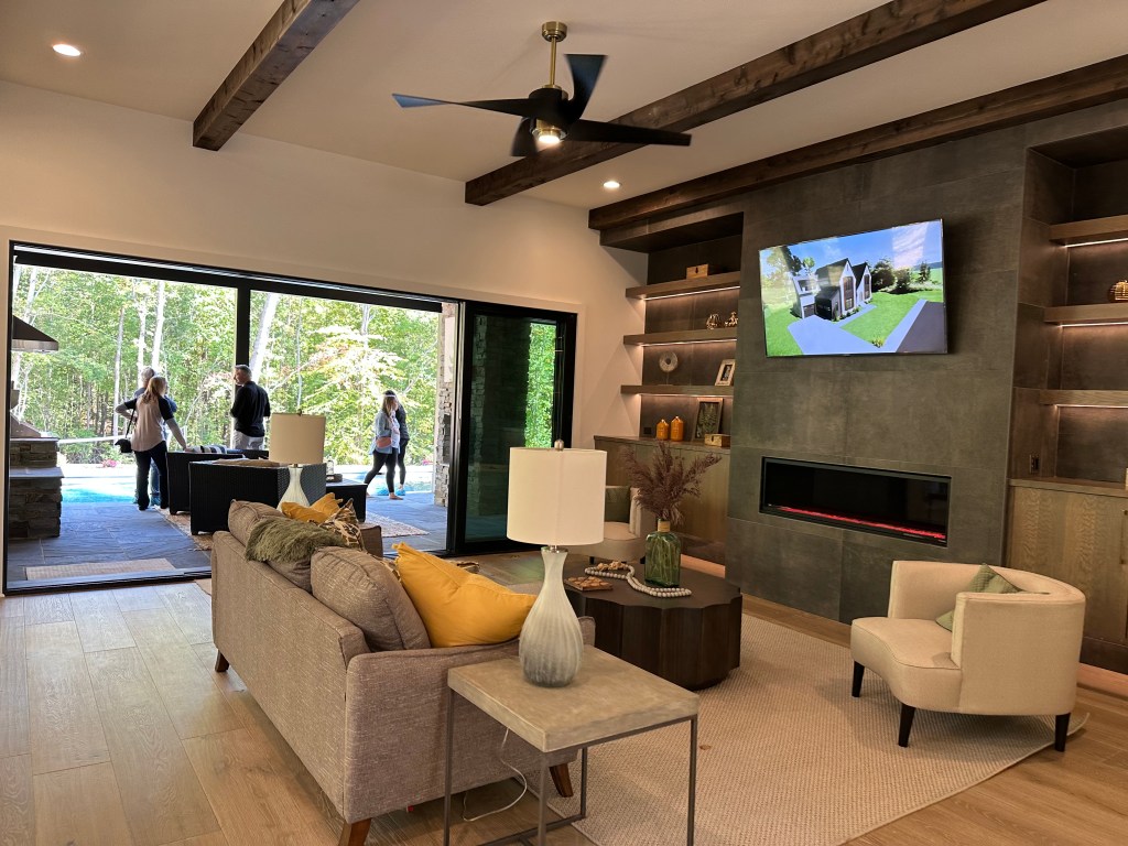
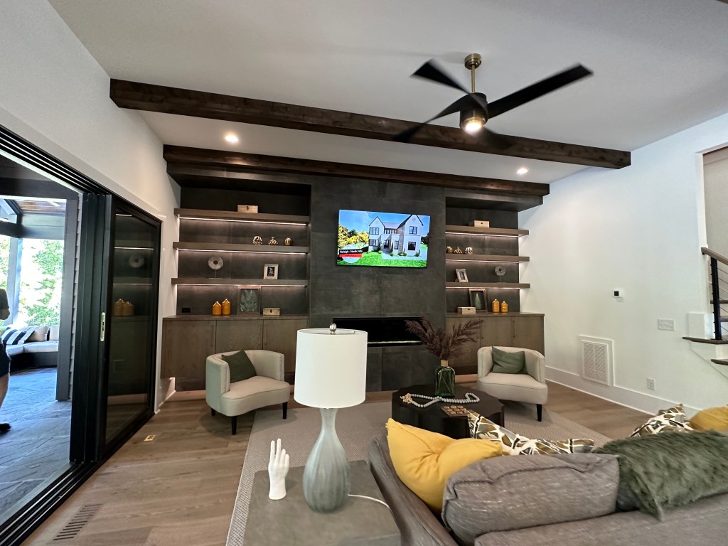
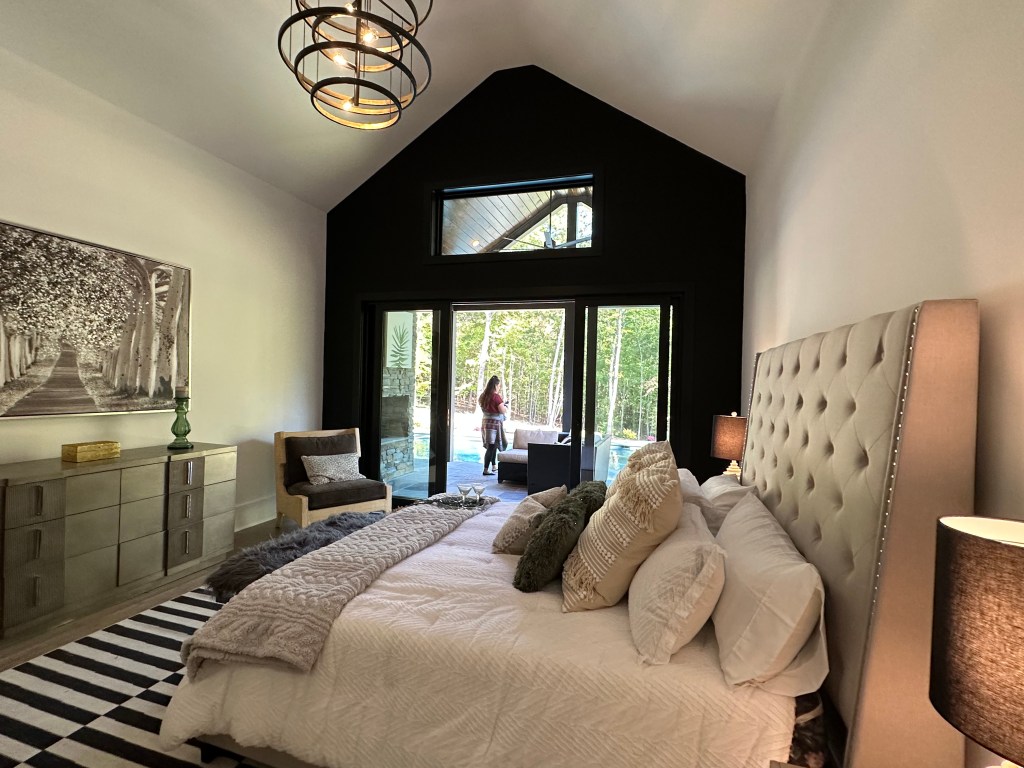
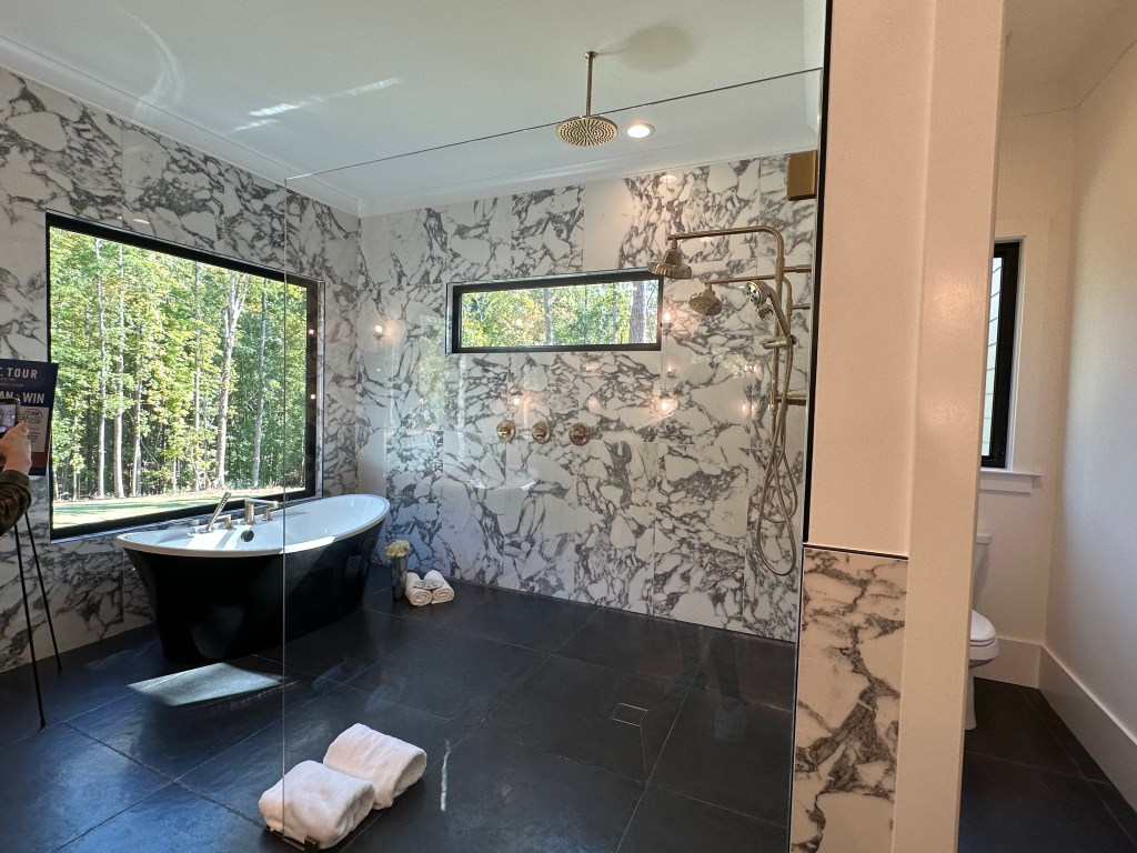
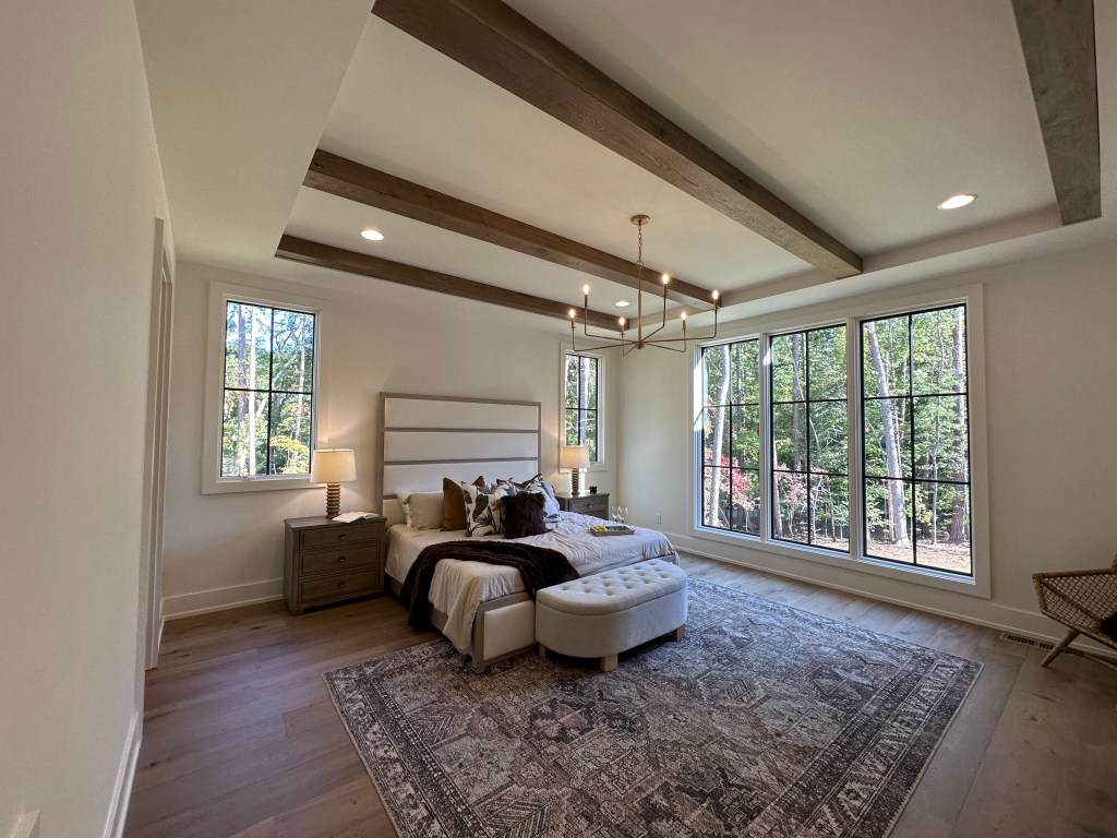
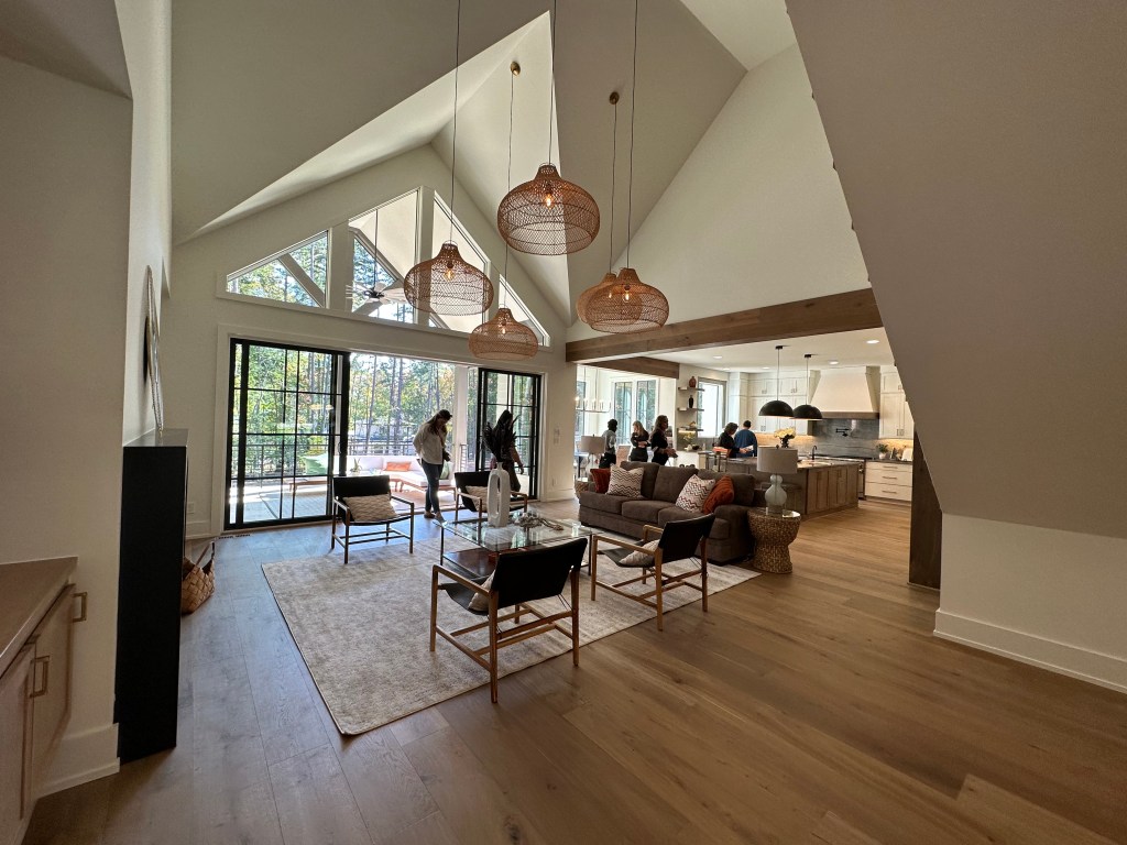
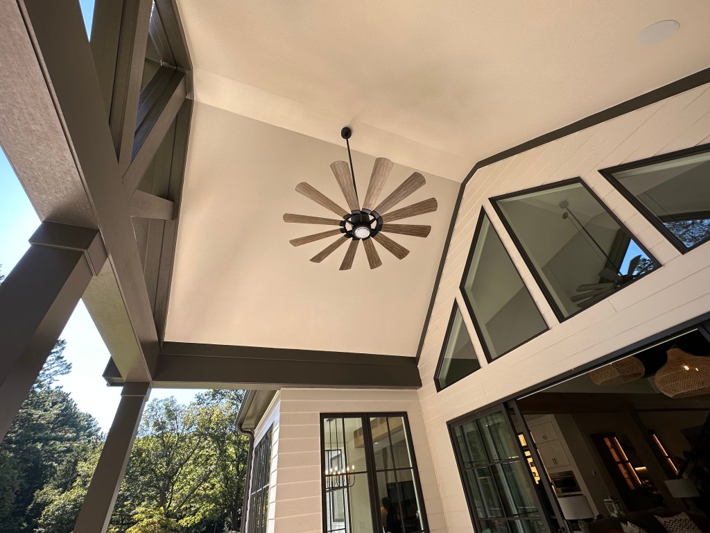
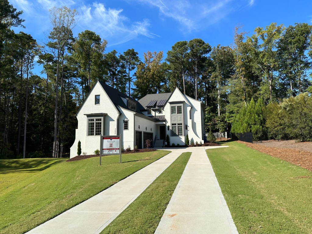
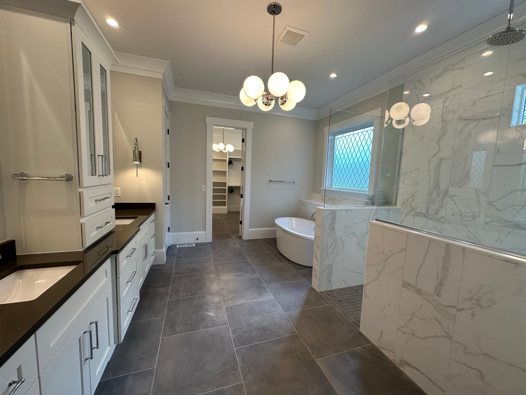
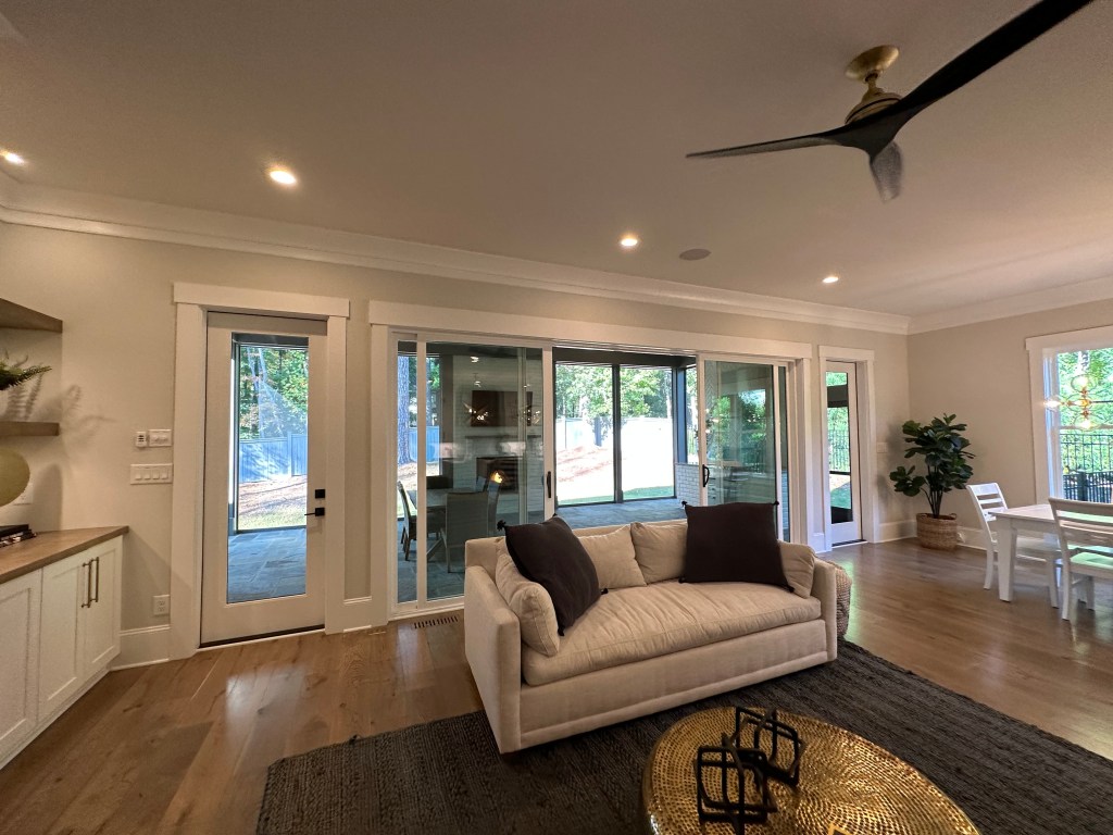
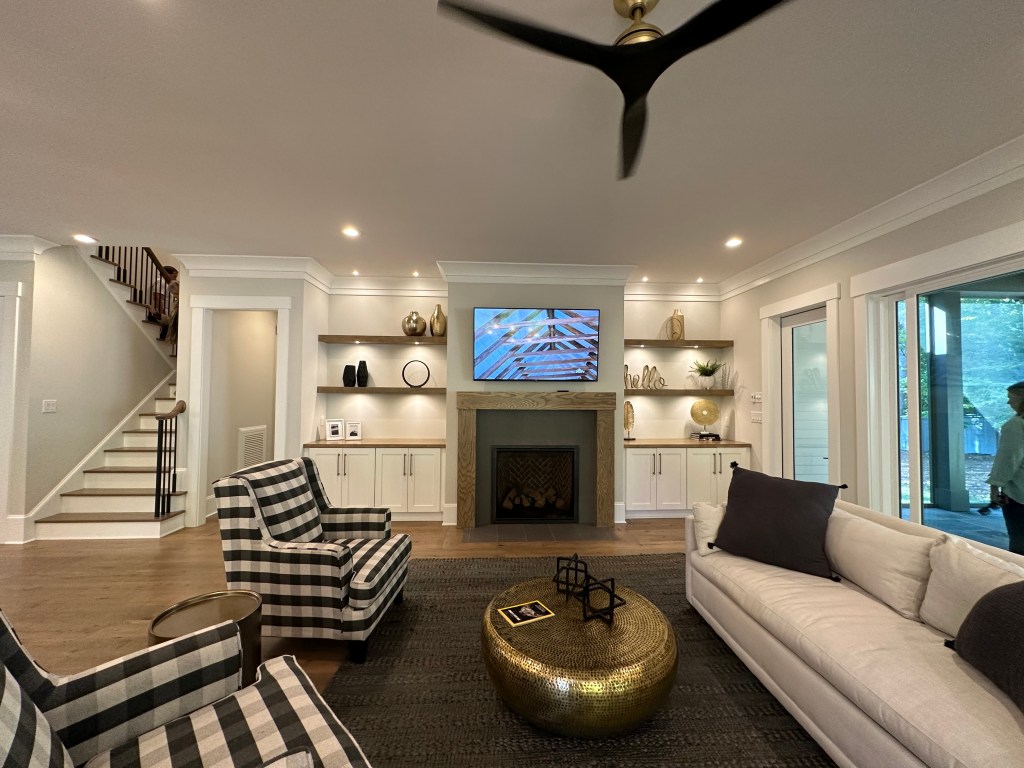
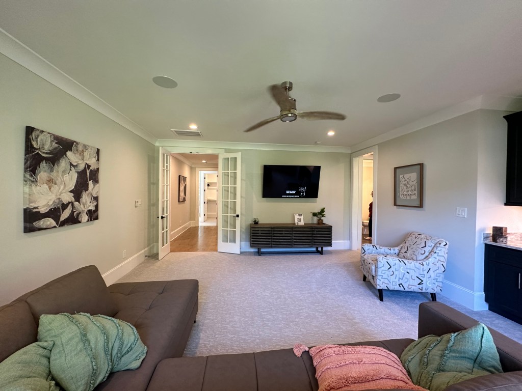
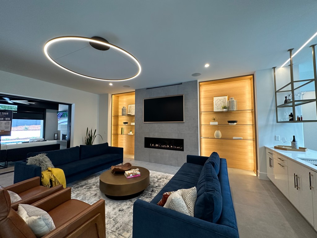
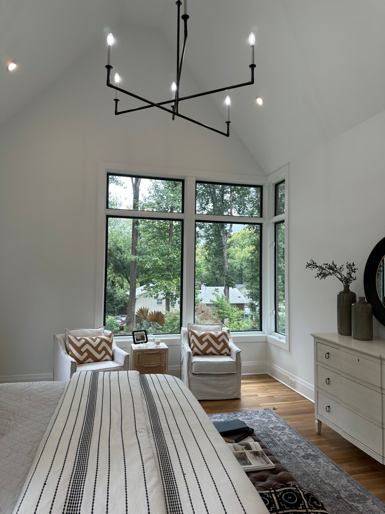
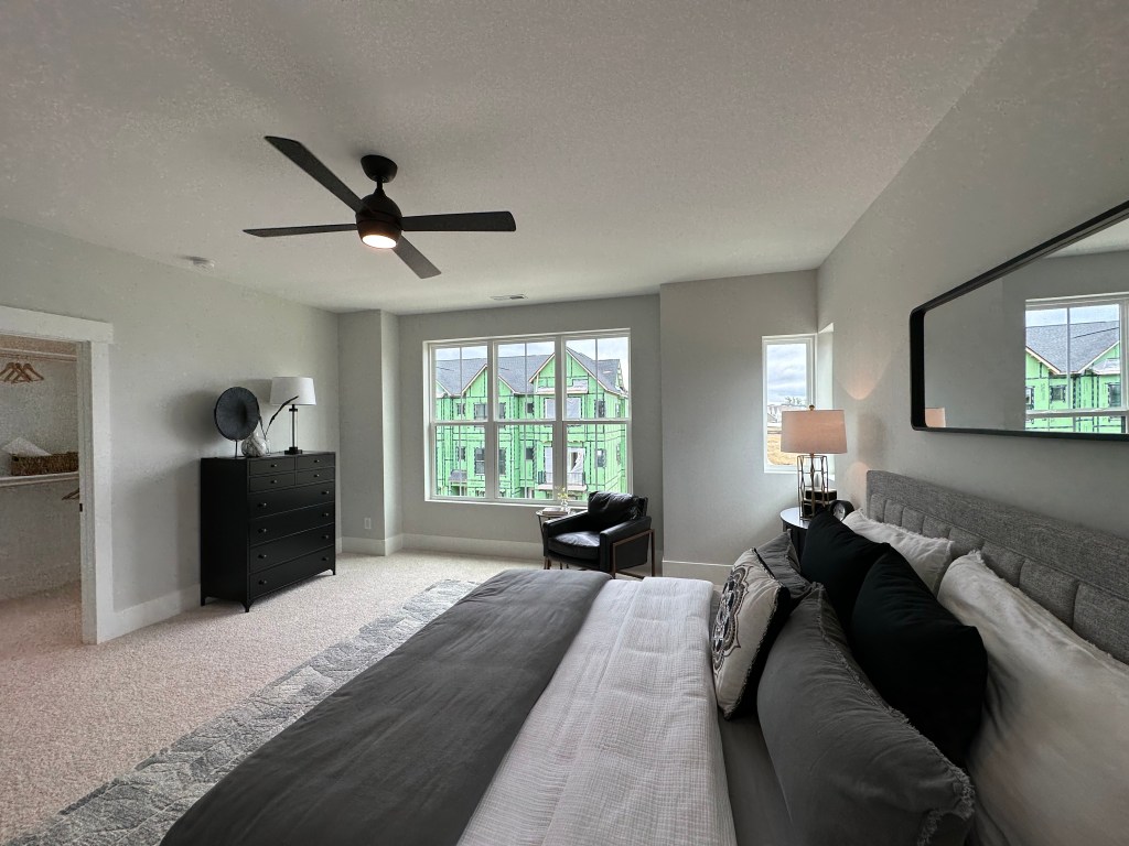
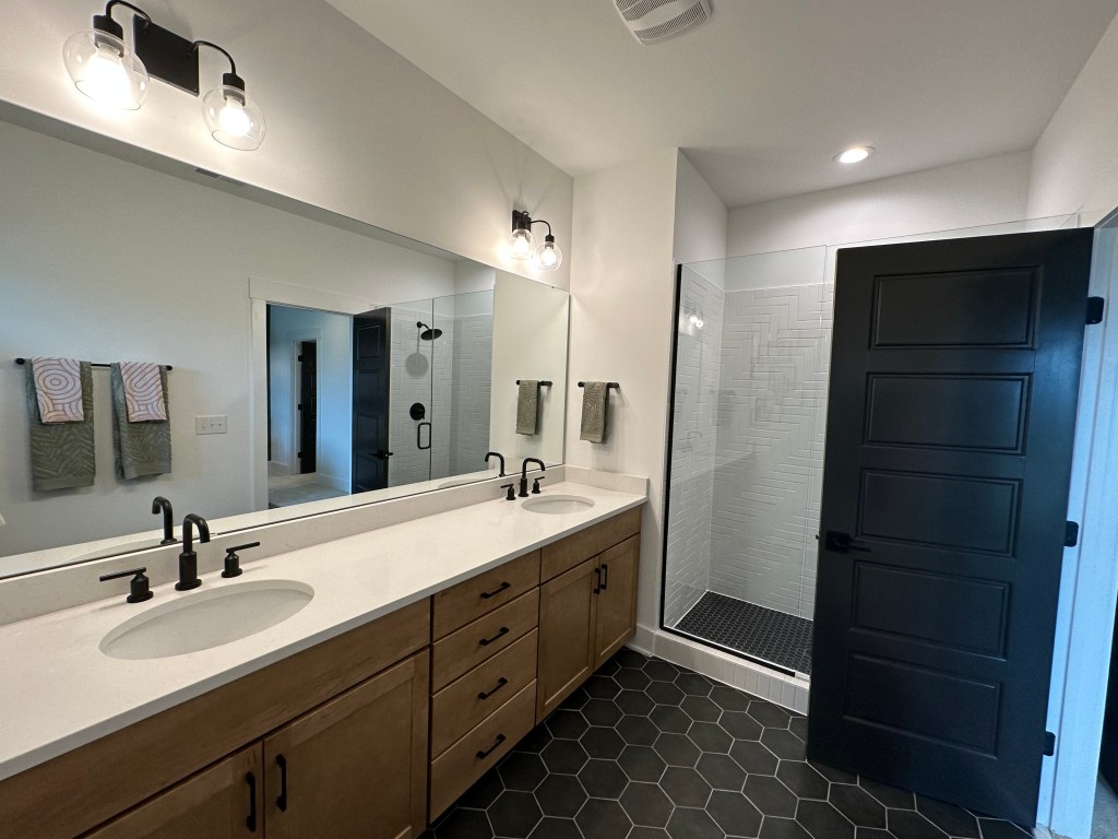
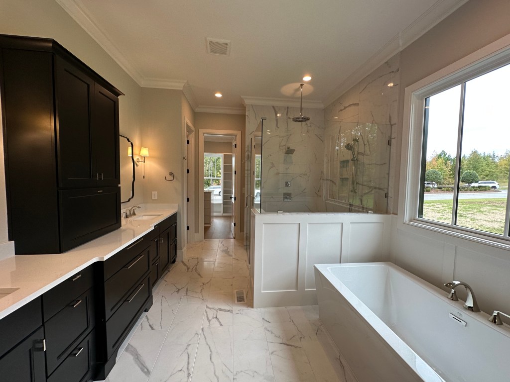
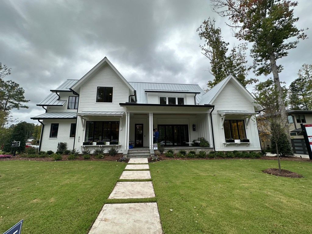
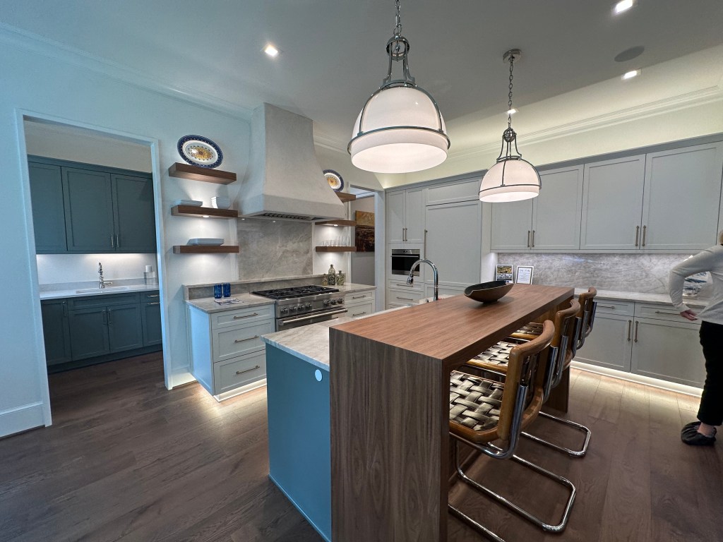
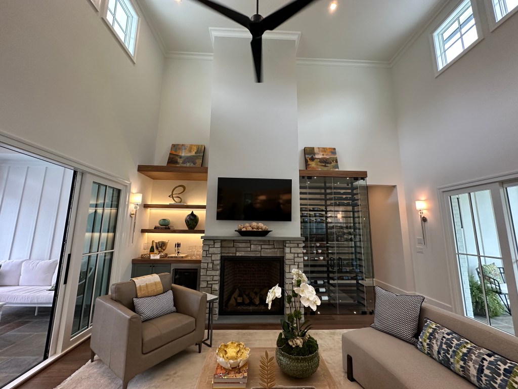
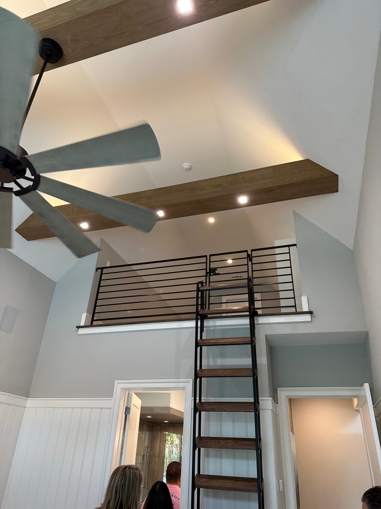
This home would probably be 4+ million in town. What a gem. Some features I’d not previously seen in a home. Look at the lighting package, front and back sliders, bar island, floating beams, bedroom secret loft. This home had it all (except an upper porch!)
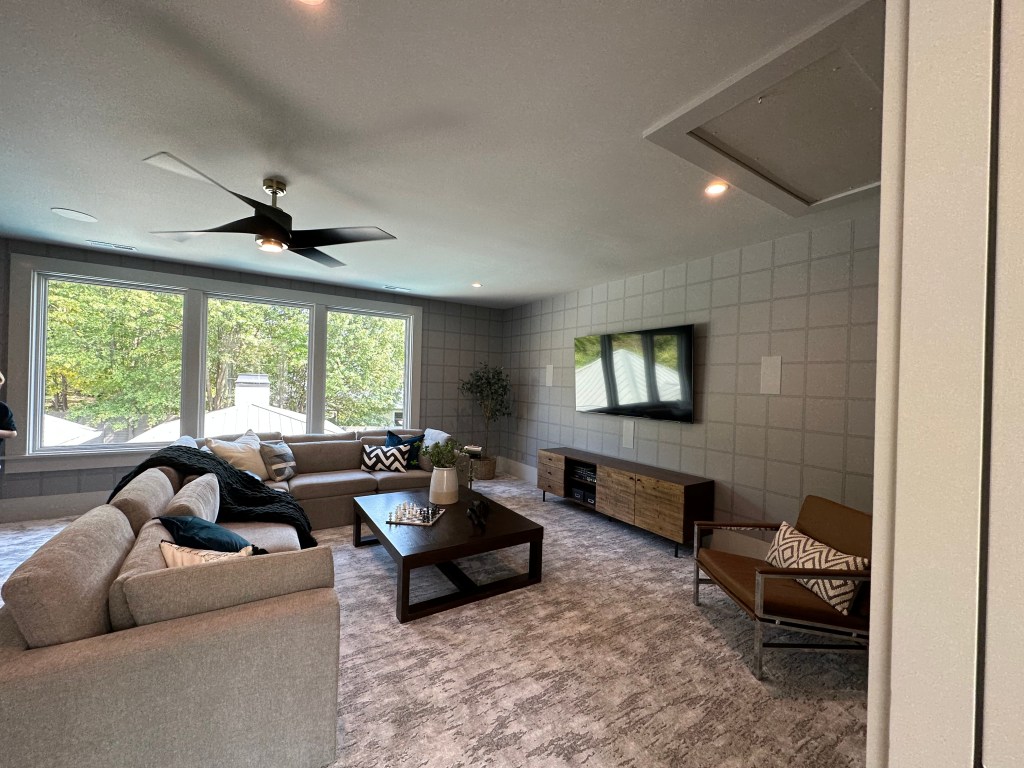
One day Chatham Park will contain 10,000 homes, millions of sq feet of commercial, office, trails, river access and more. But for now, it’s basically an island. There are some beautiful homes though – like this one from Garman.
Glenwood South is the nightlife hotspot for Raleigh. Every Friday and Saturday nights Glenwood Ave transforms into a gridlocked mess full of cars cruising and throngs of people on narrow sidewalks.
This Google Typical Traffic map shows how congested the area gets on Saturday nights.
GoogleMaps
Currently the setup of Glenwood contains two travel lanes with on street parking and typical city width sidewalks.
Closing Glenwood Avenue between Jones Street and Johnson Street from Friday at 8 PM to Monday 5 AM would go a long way in promoting a safer experience for all in Glenwood South. Leaving the cross-streets open would allow for ease of emergency and restaurant pickup access.
Map showing area of closure: GoogleEarth
Benefits
Reduction of cruising vehicles blasting music and mufflers leading to less neighborhood noise complaints. While some may mention that they would resort to the side streets, I believe that wouldn’t be the case since most are trying to show off their vehicles to the people out on Glenwood.
Increased space for people to congregate, dine, and walk would lead to a more organized atmosphere which also leads to a safer atmosphere. Currently pedestrians are confined to the small sidewalks leading to a chaotic feel.
Minimal effort required to stage the closure and the city has ample expierence with similar spot weekend closures on Glenwood and Fayetteville.
More opportunities for outdoor seating for the restaurants along Glenwood leading to potential increase in sales.
Responses to Probable Challenges
What about emergency access? Currently, Glenwood Ave is gridlocked every weekend evening. It is easier for people to move out of the way than it is for cars stuck in traffic. Also by leaving the cross-streets open, it will be easy to reach any point. In addition, an clear zone free of any outdoor seating shall be maintained down the center of Glenwood.
What about access to parking lots? All of the businesses on this stretch would still have access to their respective parking lots from side streets.
What about pickup zones for the restaurants? With the cross streets remaining open, the points in which they cross Glenwood could be used as pop-up pick up zones or 5-minute parking spots. Also, the minimal disruption caused by this would likely be made up and more by the increased outdoor seating and foot traffic.
Won’t cruising just spill onto the other area streets? I find it highly unlikely. Most of the people are just cruising to show off and get attention. They would not get that attention on the other streets.
Is it worth the effort and cost? Temporary construction type barricades can be easily mounted and dismounted fairly easily. There’s also currently a large police presence patrolling the area every weekend which could be reshuffled without needing many more. If this turned out successful, retractable bollards could even be an option.
Next Steps
If you think this is a great idea, let City Council know by email, or speaking at a Council Meeting! Hopefully, we can get this going at least as a pilot project soon.
Cover Photo: WRAL Adam Owens
Opinions and insights are my own and are not representative of my employer or any organization. Any ideas displayed on this site are purely that – just ideas to help improve the future of the built environment.
NOTE: THIS CONTENT IS NOT UPDATED – THINGS HAVE GREATLY CHANGED SINCE SEPTEMBER 2022. PLEASE HEAD TO THE TOWN’S DEVELOPMENT PAGE FOR AN UPDATED DEVELOPMENT MAP
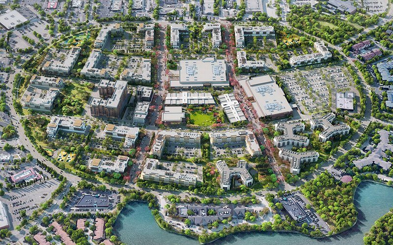
As Wendell continues to grow and thrive, it appears that we may finally be on the cusp on of attracting larger scale mixed-use developments instead of just subdivisions. Here’s a rundown of some of the big things we have to look forward to.
CBRE has released marketing material for Wendell Commerce Center which will be a massive mixed use district across from Wake Tech (I-87 / US 64 BUS Interchange). At build out, the district could comprise of over 100 acres of housing, retail, industrial / life science spaces. The district will seamlessly connect the Wendell Falls Collective district to the Wake Tech area creating a new connected node adjacent to I-87.
The space was dubbed as “Innovation District” in the Wendell Blueprint 2030 Plan that was released earlier this year. The conceptual rendering below shows a welcoming mixed use district.
Wendell Blueprint 2030
Unfortunately, the marketing material from CBRE only shows a grocery anchored strip center as of now but even that is purely conceptual. We must aim extremely high for this very important district and ensure it turns out close to – or even better than envisioned in the Blueprint Plan. If this district plays out right, it could be our own slice of “RTP East”!
CBRE
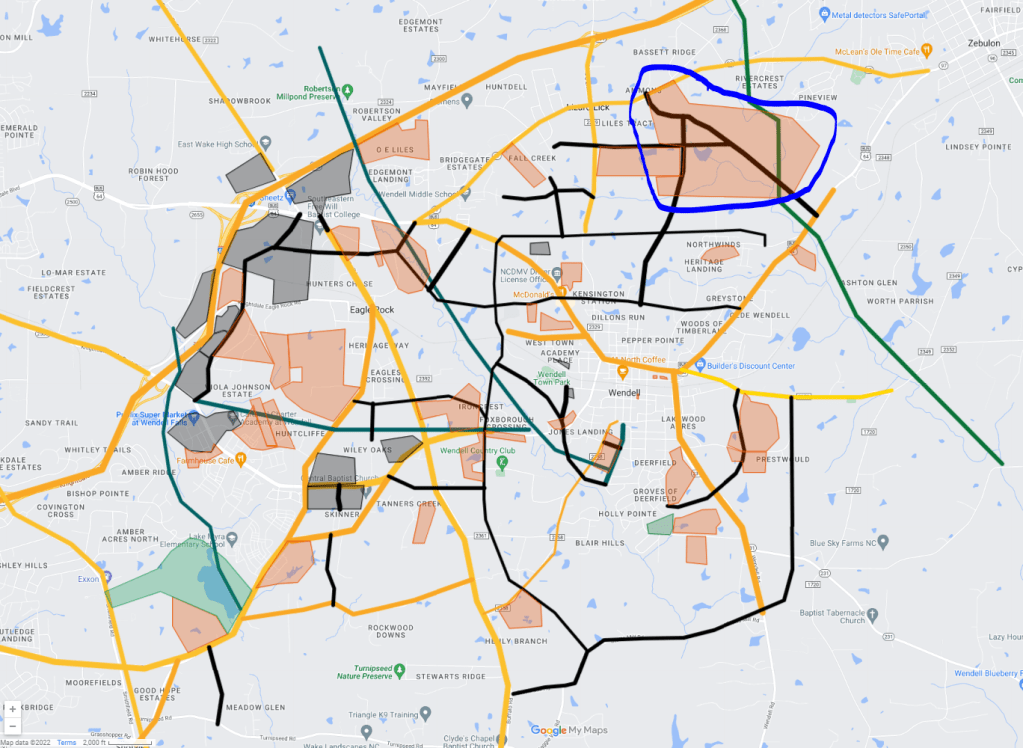
Ammons Acres PUD
To date, Wendell Falls is the only PUD (Planned Unit Development) in Wendell. Ammons Acres will be the second. Located on 500 acres North of Downtown Wendell and just to the South of NC 97, Ammons Acres could bring 1000-2000 new homes to this part of town. Let’s hope there are commercial components, trails, parks, and schools to ensure a sustainable future for this development. While no concrete plans are in place yet, we should be learning more soon with the Town set to investigate the proposal in the coming weeks.
GoogleMyMaps
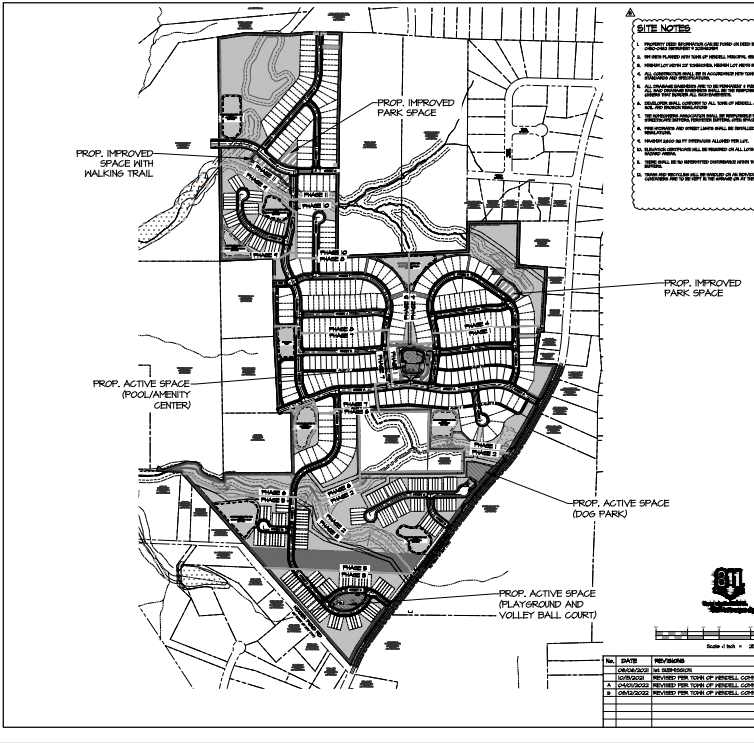
Martin Pond Road
Preliminary plans have been released for a 500 home subdivision along Martin Pond Road adjacent to Phase 11 of Wendell Falls. This would also bring a new connection point from Wendell Valley Blvd / WF Phase 10/11 to Martin Pond Road.
GoogleMyMaps
The plans call for a mix of Single Family and Townhomes along with trails and park spaces.
Wendell Village has sat idle for a few years but it appears that is finally set to change. The Town Board will consider a case for a new apartment development on this key lot.
I personally would have liked to see more mixed-use on this key parcel, but adding 400 homes within walking distance of grocery and even Downtown is a win!
Lake Myra Scaleback
To put it lightly, I’m extremely disappointed with this one. A development that is within walking distance of an Elementary School, future 200 acre park, greenway, and future mixed use district at the corner of Poole Road and Smithfield Road has been scaled back from over 300 homes of varied lot size to just 115 estate homes.
We should be aiming for increased density on parcels this close to services, not less. I understand that this area was part of the “compromise” during negotiations for the 2030 plan. As I wrote then – “Perhaps the worst thing Wendell could do is caving to the anti-density crowd. If we do that, we will end up with a bunch of low-mid density residential sprawl where everyone sits in traffic daily to go to work, go shop and more. While they may present compelling cases, they are usually built on fear of change more than anything. Unfortunately they are usually the vocal minority and can inflict a great deal of pressure on town officials. Wendell only gets one chance to build itself toward a sustainable, livable future where people from all walks of life can live, work, play, and thrive.”
Recently Approved and Under Construction Developments
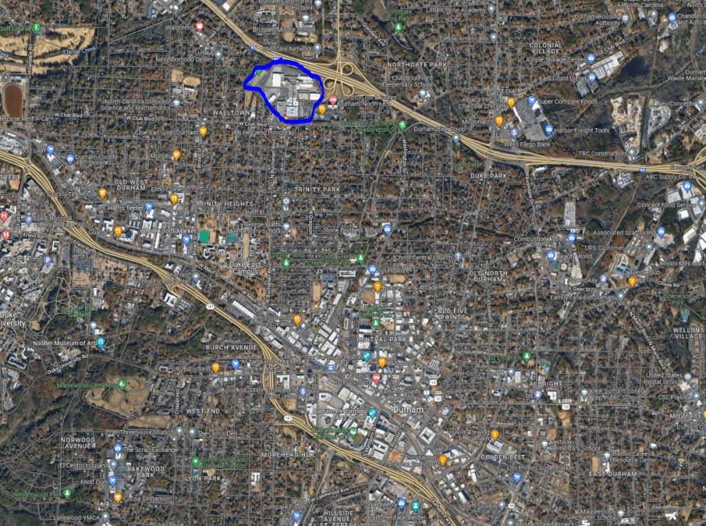
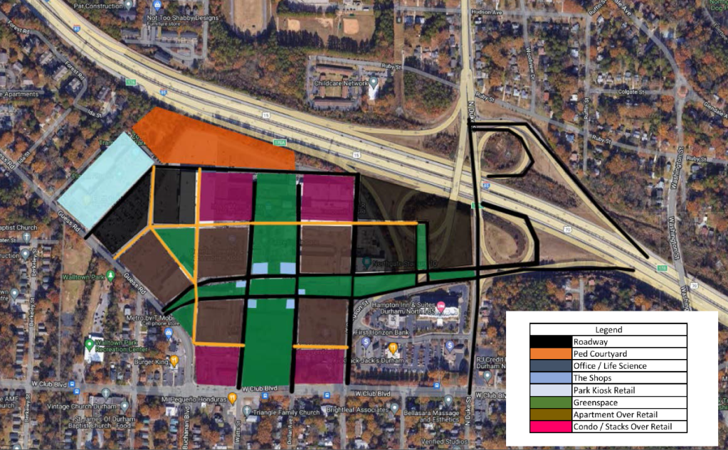
Northgate Mall in Durham shuttered in 2018. Since then plans have called for a new mixed use development. This past week Northwoods Investors shared their plan which included no residential elements. This was rightfully met with much disappointment to the many neighbors who were listening to the information session.
The site sits roughly two miles North of Downtown Durham. Much much of the Triangle, Durham is experiencing explosive growth and is in need of increased housing. Creating a dense mixed-use node that has all the everyday elements for a non car-dependent lifestyle while also falling within biking distance of Downtown would go a long way in achieving the cities’ goals for the future.
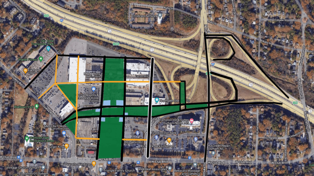
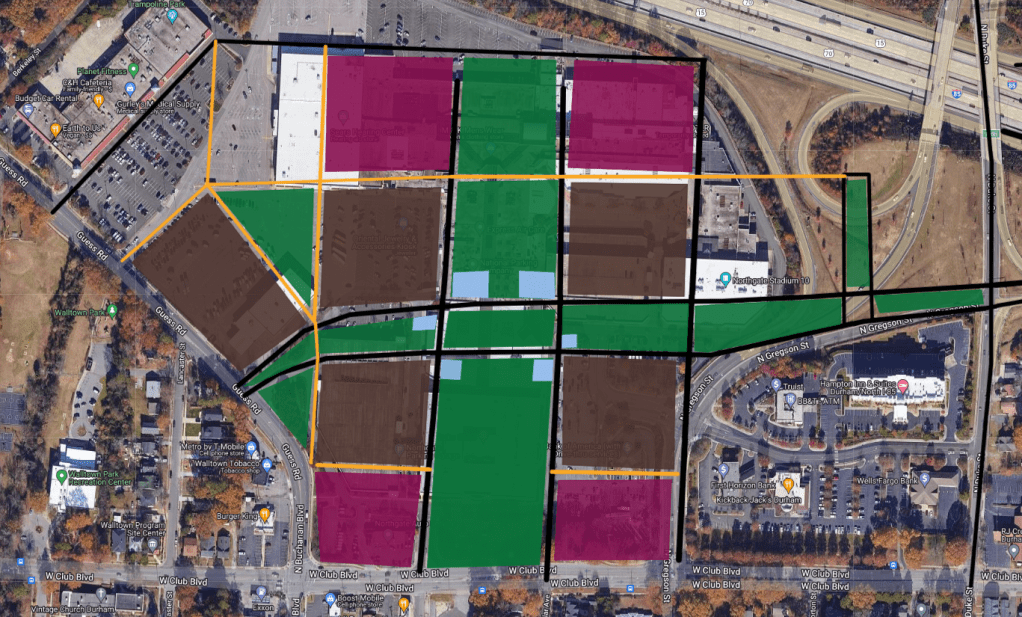
The general layout would expand upon the area’s street grid.
GoogleMyMaps
The existing sprawling interchange of I-85 and Gregson / Duke Streets would be reconfigured and simplified to reclaim nearly 10 acres of space. Duke Street would see a two-way conversion to Club Drive (and hopefully to Downtown in the future), while Gregson Street would be realigned to continue Northward through the development.
Watts and Dollar Avenues would be extended North through the development to serve as the primary slow streets with similar East-West slow streets completing the grid and providing parking deck access.
Streetmix
The East-West central interior street would be separated with a linear park.
Between the North-South central interior streets would sit the Central Park and event space perfect for events, leisure activity, pop up sporting play, markets and more. It would also be flanked on the corners with kiosk type shops and restaurants.
GoogleEarth
The use of pedestrian only courtyards would also be used to complete the block structure.
A big component of this plan would be the residential elements. Five blocks of Apartment over Retail and four blocks of Condos / Stacks would be provided creating a thriving 16-hour neighborhood. Nearly all of the residential units would be centered around the greenspace and all of the residential parking decks would be fully wrapped by the buildings. Special care must be taken to ensure the maximum amount possible is set for varying levels of affordable housing.
GoogleMyMaps
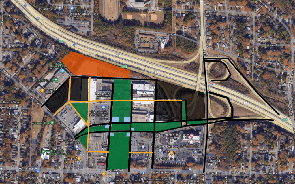
Office / Medical / Life Science
The section of the development fronting I-85 and the Northwest Quadrant would be the Office District providing five new buildings.
GoogleMyMaps
The main office building would sit in the NE corner adjacent to Duke Street and I-85 and feature two central courtyards. The Northern flank would feature a medical center or additional life science buildings with two more blocks on the Western End.
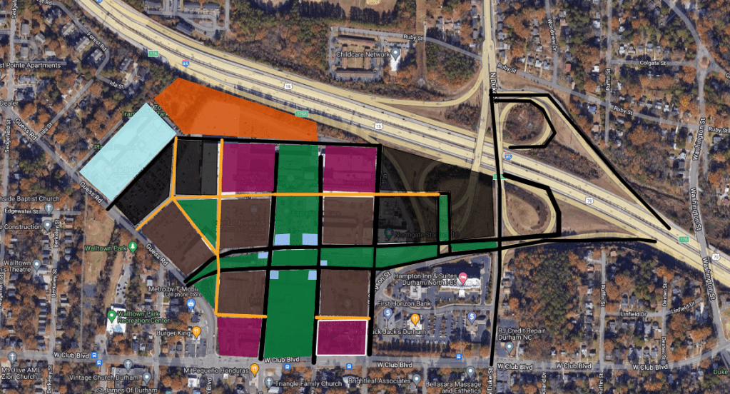
Retail
Retail would feature on the ground floor of all apartment / condo buildings as well as most of the office buildings. Tenants of all sorts would be targeted from small pop-up neighborhood shops, restaurants, grocery, services, entertainment and more.
Dedicated space for start up, Black and other minority owned businesses as well as night / weekend pop up in the park spaces should be provided to give a true neighborhood feel.
GoogleMyMaps
Overall, I feel like this plan provides more of what the neighborhood and all of Durham needs as they take the step into tomorrow. Suggestions, comments, ways to make it better? I’d love to hear from everyone. The goal is to start a conversation and have a starting point to bring back to the developers and City Council. Together we can set the table for a better Durham. Explore the interactive GoogleMap here.
GoogleMyMaps
Opinions and insights are my own and are not representative of my employer or any organization. Any ideas displayed on this site are purely that – just ideas to help improve the future of the built environment.