Phil Veasley is a Professional Engineer working with Toole Design Groupto design safer multimodal infrastructure in cities throughout the US.
My goal is to create cites that are safe and effective for all people to move about outside of cars. To achieve that we have to focus on creating equitable, dense, and vibrant cities full of walkable neighborhoods with a various mix of housing choices, schools, restaurants, and services. We cannot have safe multimodal infrastructure without the density to support it and we cannot have equitable density without safe multimodal infrastructure. Outside of designing safe streets, my passions are sketching ideas for infill neighborhoods, floor plans, urban photography, and exploring our cities on foot or bike. Please check out the menus above for all of my ideas and also check out my YouTube, Instagram, and Twitter accounts.
Opinions and insights are my own and are not representative of my employer or any organization.
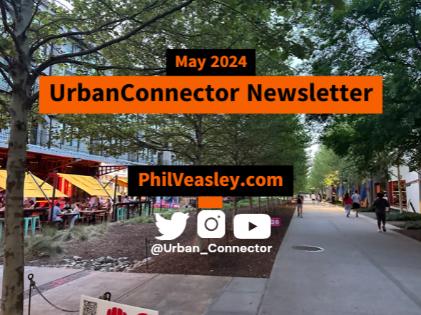
Happy Bike Month! Whether you’ve been riding for years, or just get started this month, I hope you get out there and enjoy the freedom of biking! The Urban Connector monthly newsletter looks back on the best of the previous month as well as ways to get involved in the coming month.
Please make sure you sign up below to have these delivered straight to your inbox and follow on YouTube,Twitter, and Instagram.
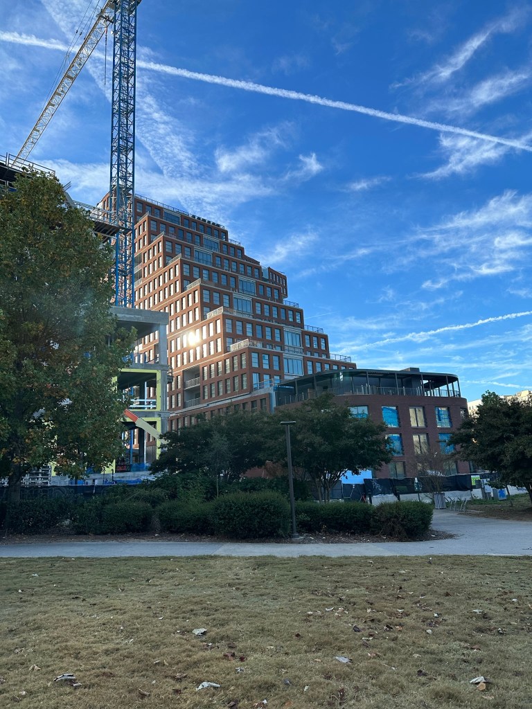
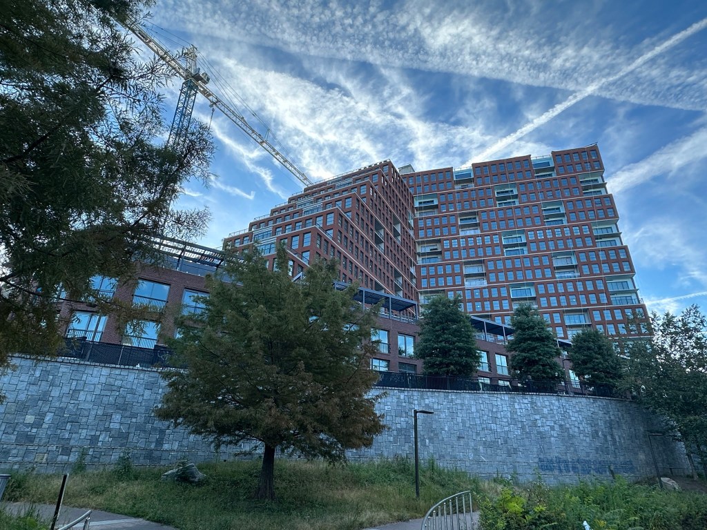
Infill for the win!3300 units could be coming to the Westside soon with a good portion of affordable units. A mobility rich location located near the Bankhead MARTA Station, Westside Beltline with easy access to Downtown. One of the best things we could do.
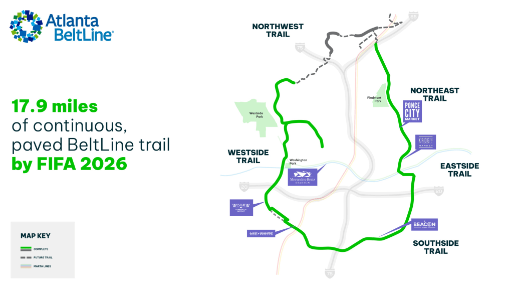
18 miles of continuous Beltline by 2026! The construction timeline of a few Beltline segments are being sped up so that the “U” shaped portion will be open for continuous enjoyment by 2026.
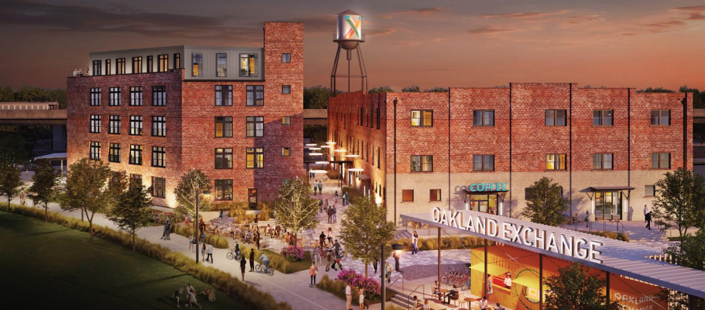
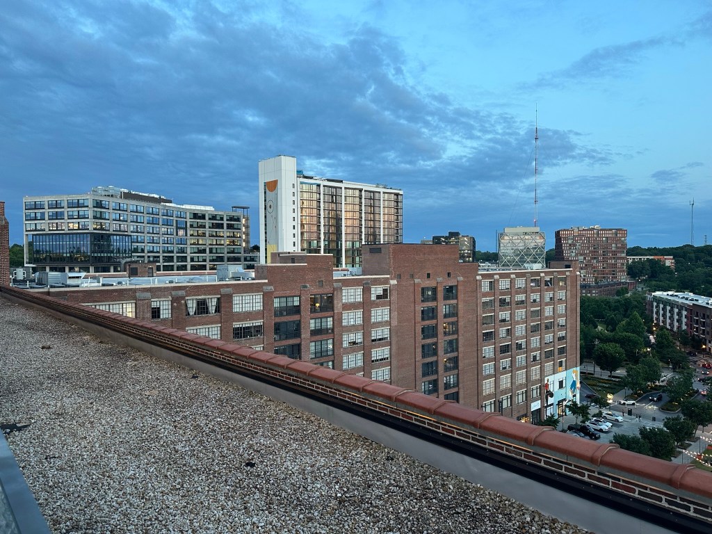
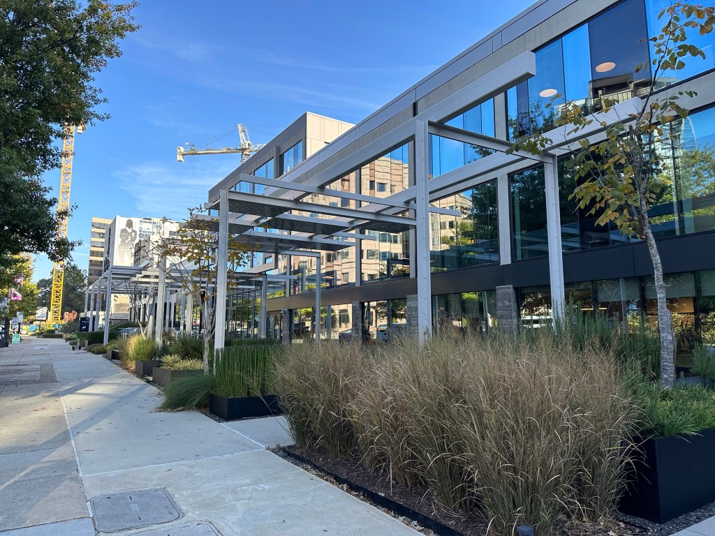
Amazing SW ATL Warehouse Redevelopment. A fantastic looking development from the great people over at Kronberg Urbanists and Associates.
Oakland Exchange/Urban Realty Partners
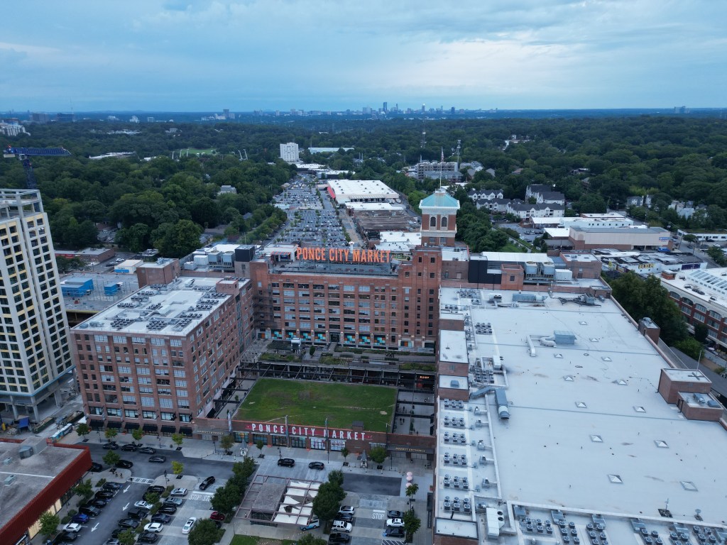
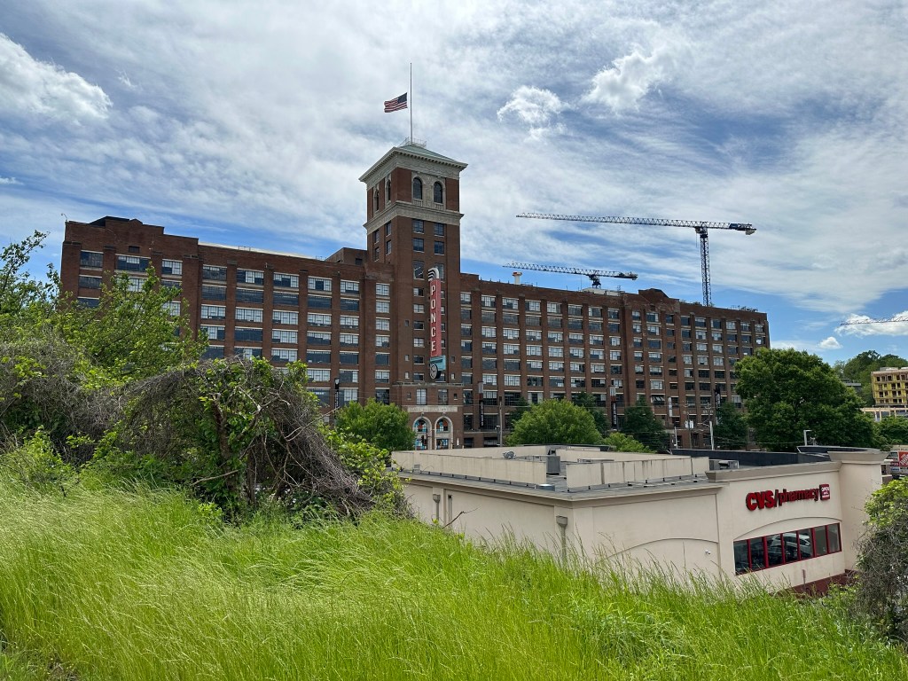
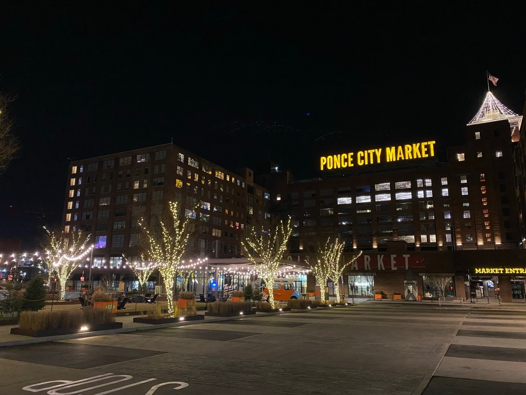
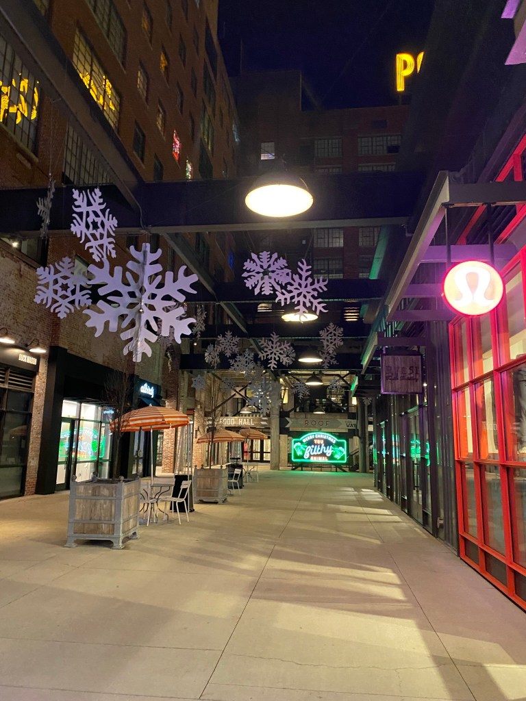
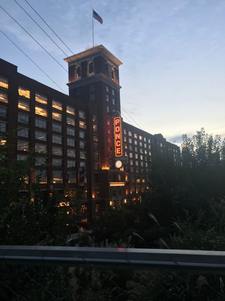
Ponce City Market New Phase Complete. The much anticipated mass-timber building on Ponce City Market’s new phase is open.
Affordable housing project in SW ATL.Avenue at Oakland City features 36 units from about $250,000.
Out with the HomeDepot BackYard, in with more mixed-use?! Mixed-use > a couple hundred parking spots in the middle of some of the biggest destinations in the South.
I’m sure this newsletter will evolve as time goes on. Comments or suggestions? Let me know! I hope to see many of you at CNU 32 in Cincinnati!
Phil Veasley is a Professional Engineer working with Toole Design Groupto design safer multimodal infrastructure in cities throughout the US.
My goal is to create cites that are safe and effective for all people to move about outside of cars. To achieve that we have to focus on creating equitable, dense, and vibrant cities full of walkable neighborhoods with a various mix of housing choices, schools, restaurants, and services. We cannot have safe multimodal infrastructure without the density to support it and we cannot have equitable density without safe multimodal infrastructure. Outside of designing safe streets, my passions are sketching ideas for infill neighborhoods, floor plans, urban photography, and exploring our cities on foot or bike. Please check out the menus above for all of my ideas and also check out my YouTube, Instagram, and Twitter accounts.
Opinions and insights are my own and are not representative of my employer or any organization.
Phil Veasley is a Professional Engineer working to design safer multimodal infrastructure in cities throughout the US. My goal is to create cites that are safe and effective for all people to move about outside of cars. To achieve that we have to focus on creating equitable, dense, and vibrant cities full of walkable neighborhoods with a various mix of housing choices, schools, restaurants, and services. We cannot have safe multimodal infrastructure without the density to support it and we cannot have equitable density without safe multimodal infrastructure. Outside of designing safe streets, my passions are sketching ideas for infill neighborhoods, floor plans, urban photography, and exploring our cities on foot or bike. Please check out the menus above for all of my ideas and also check out my YouTube, Instagram, and Twitter accounts.
Opinions and insights are my own and are not representative of my employer or any organization.
Raleigh taught me a lot – how to truly love cities and how to get involved in the community.
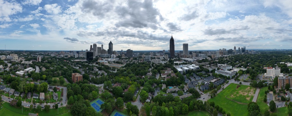
Raleigh Panorama – DJI Mini 3 Pro – July 2023
Thanks to great organizations like Oaks and Spokes, RaleighForward, and the Wendell Planning Board or blogs like the Downtown Raleigh Community, I’ve learned not just how to be a Transportation Engineer but an advocate for a better future.
Articles featuring ideas for the future of the Triangle.
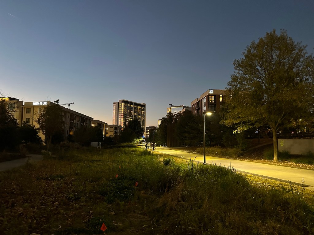
But it was time to get back to the city that made me who I am, and the city that I care deeply about – Atlanta.
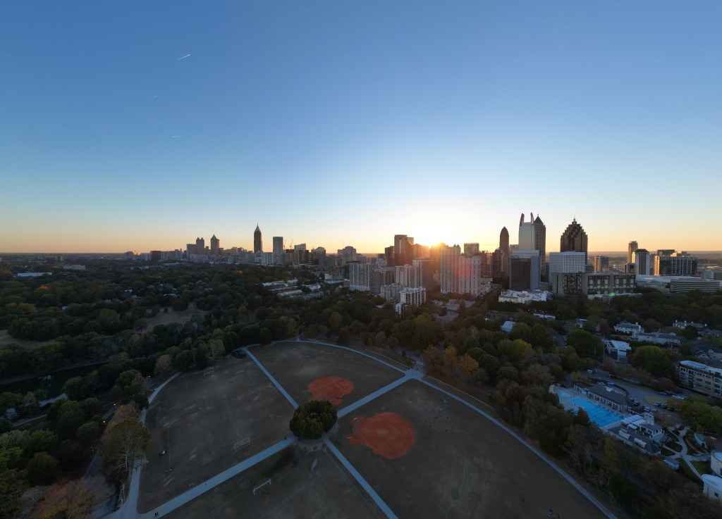
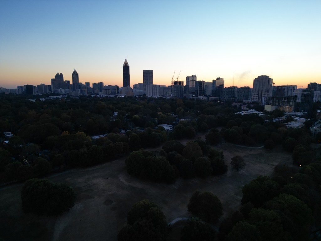
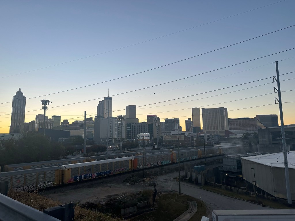
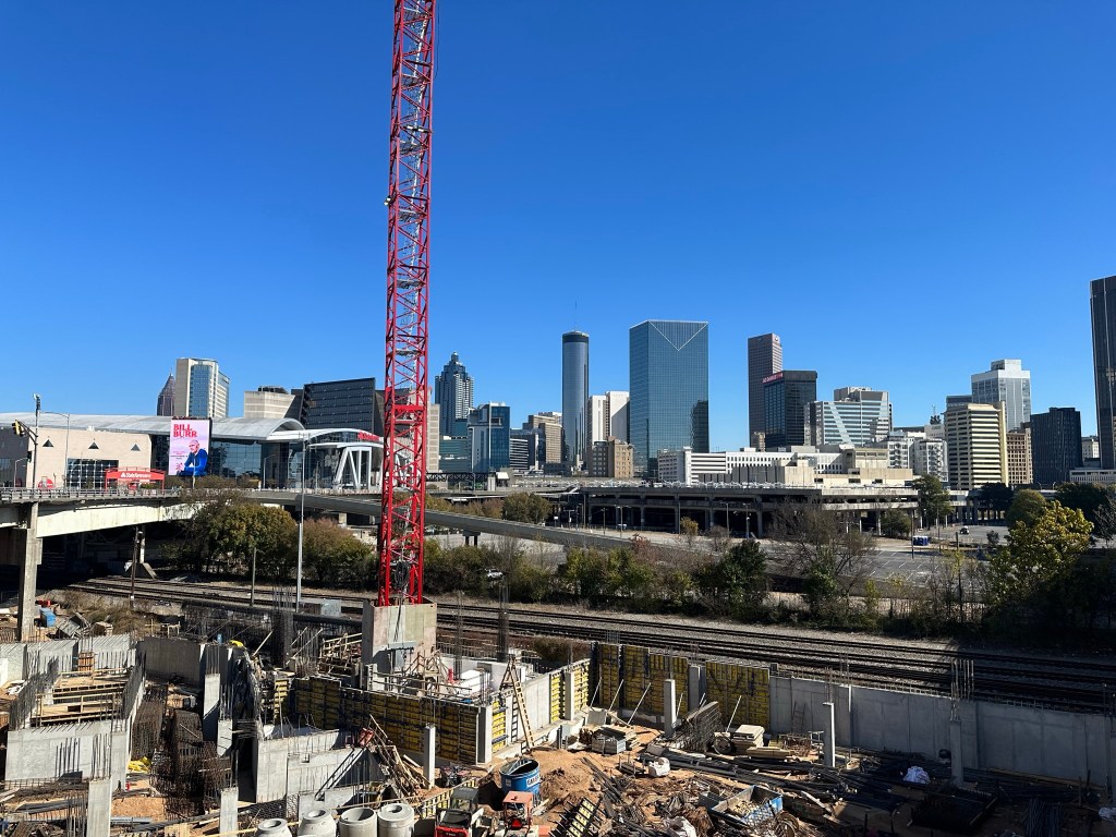
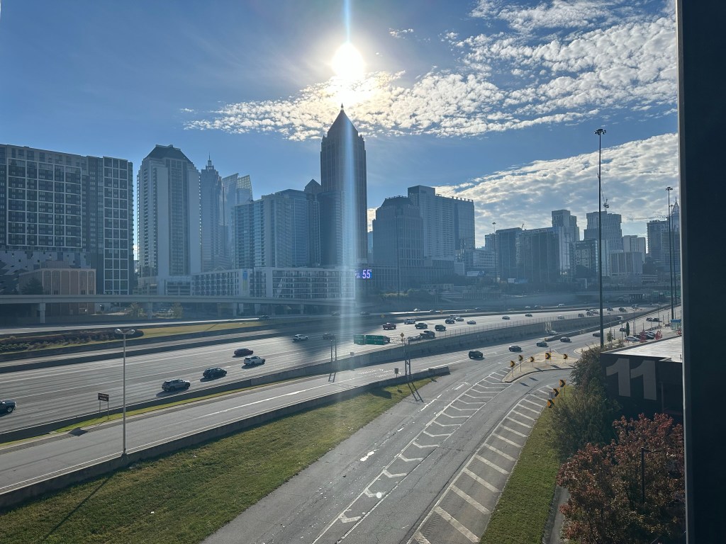
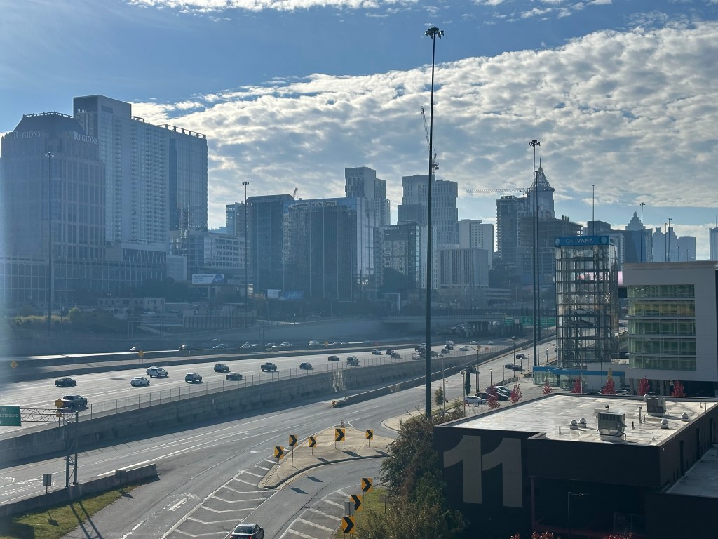
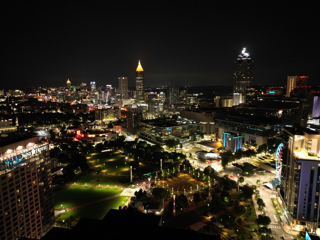
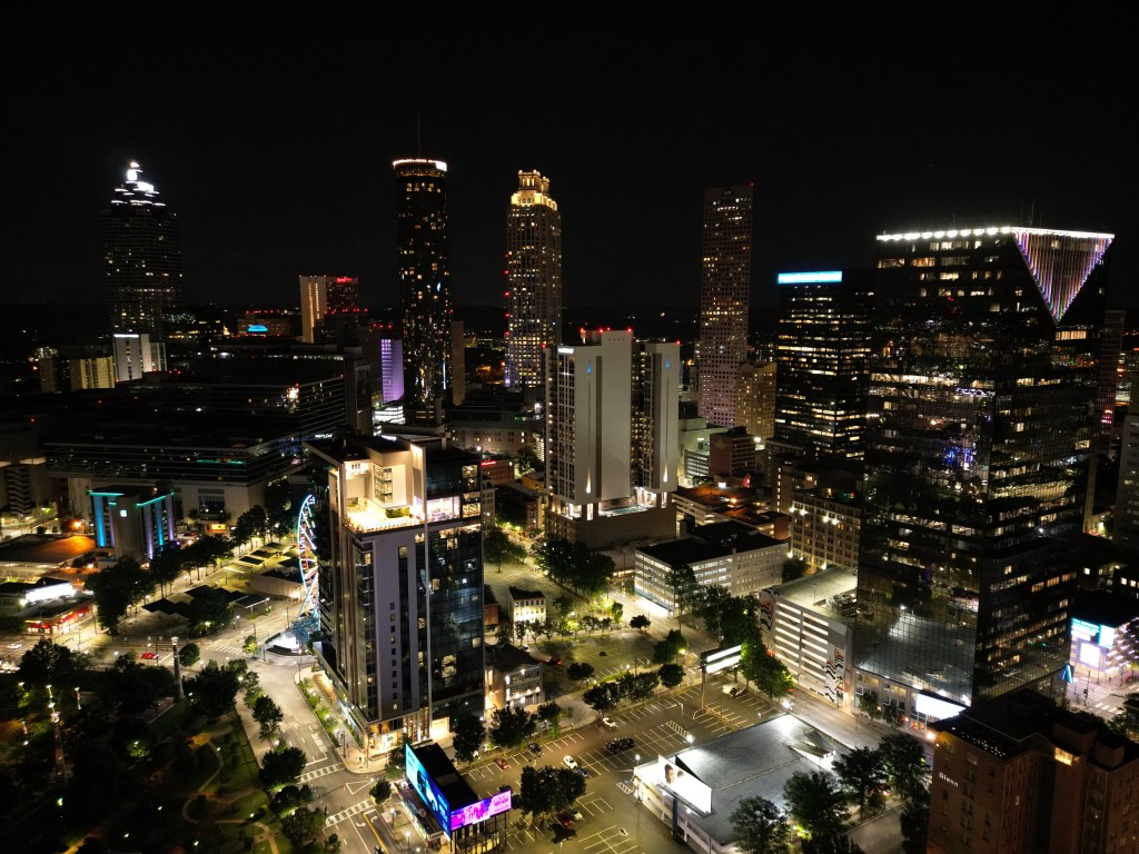
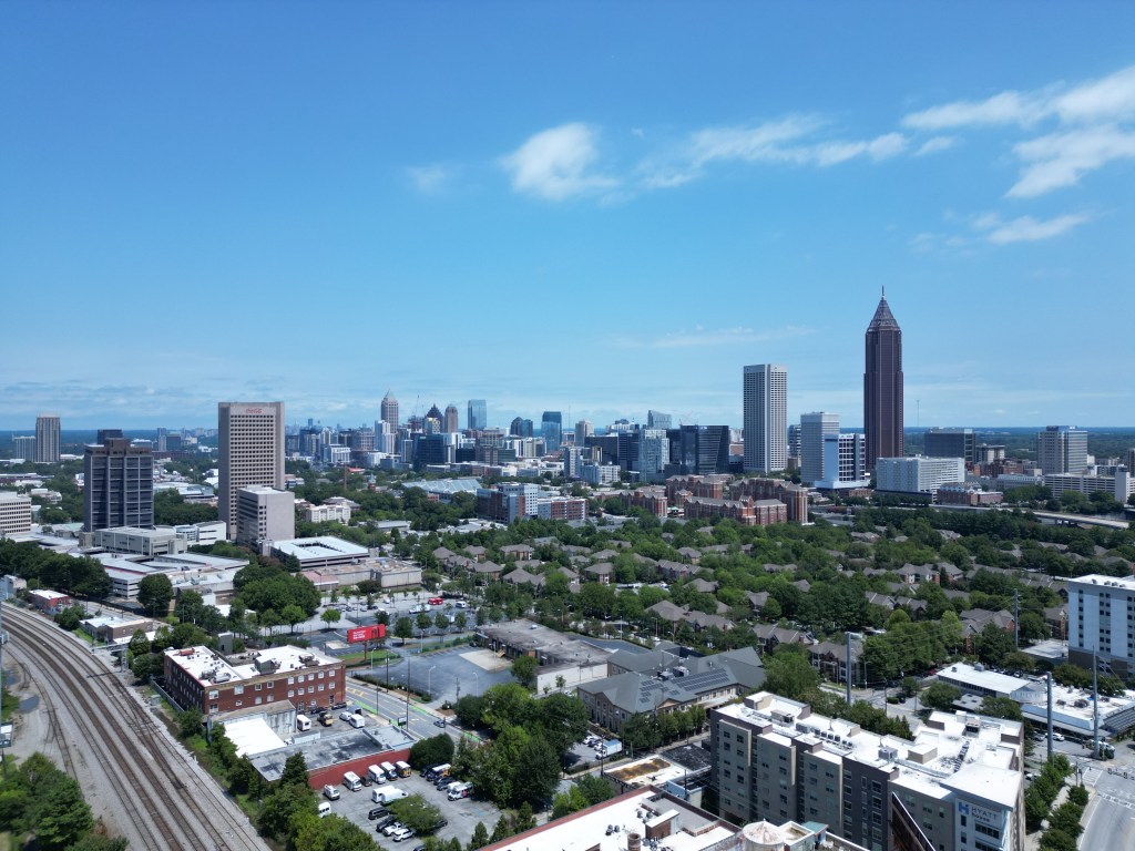
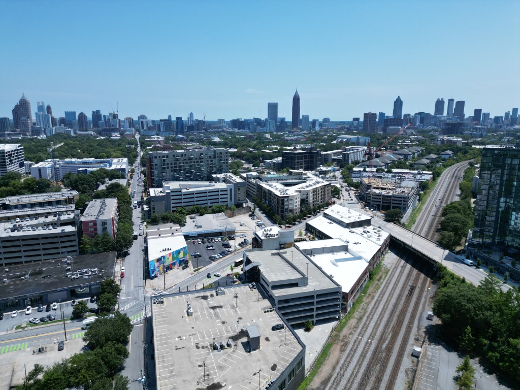
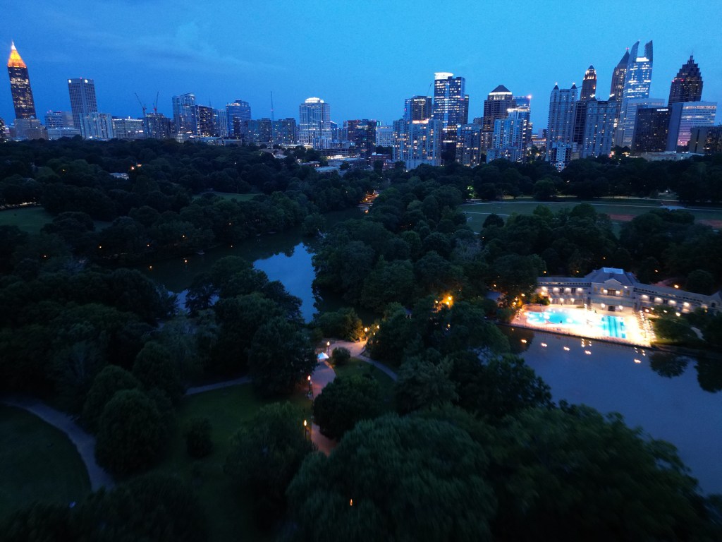
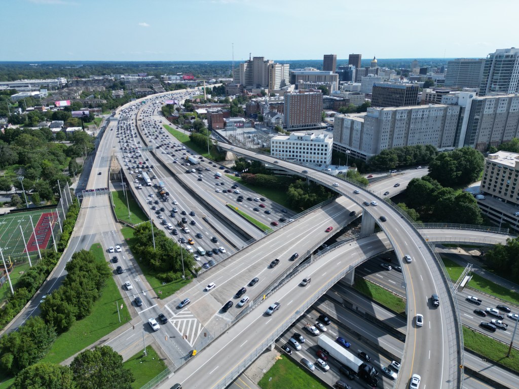
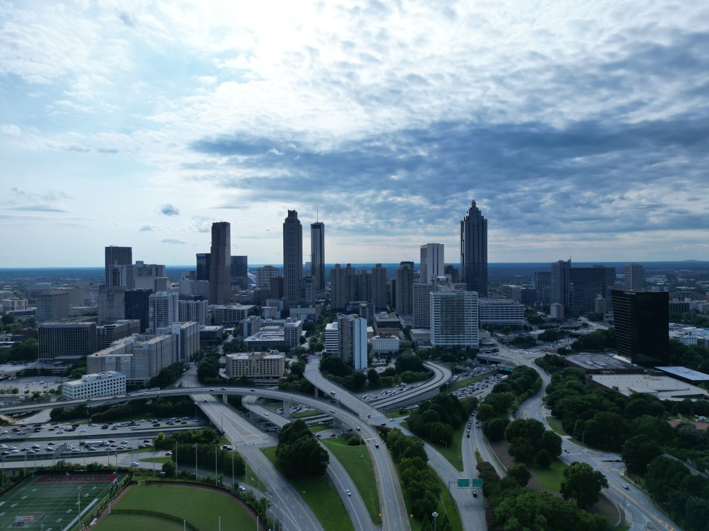
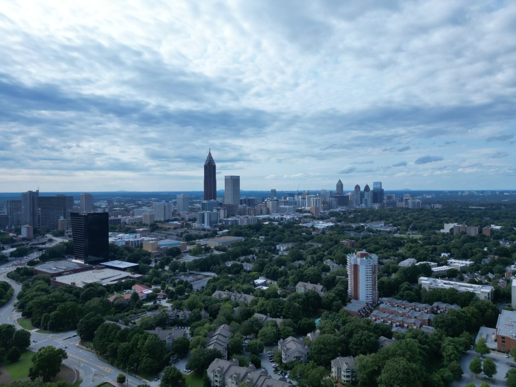
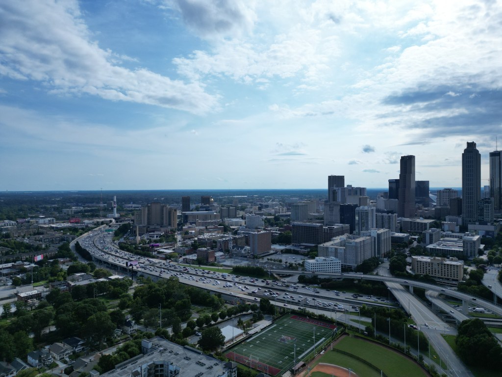
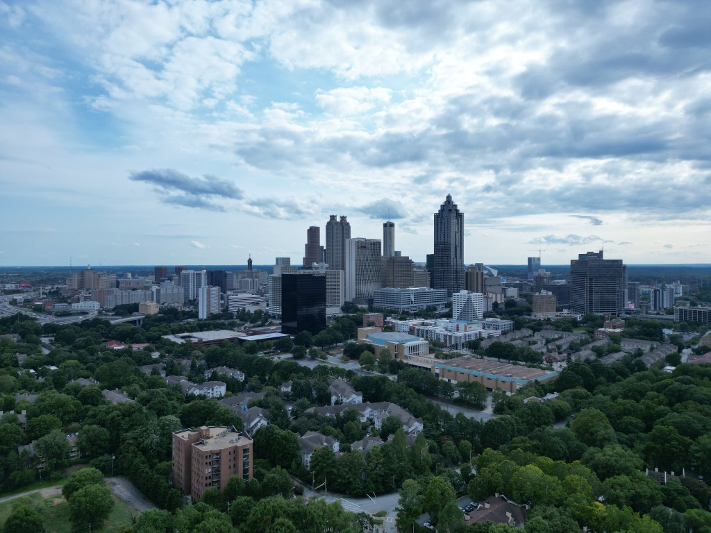
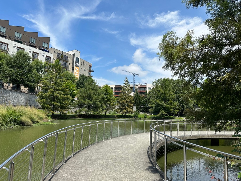
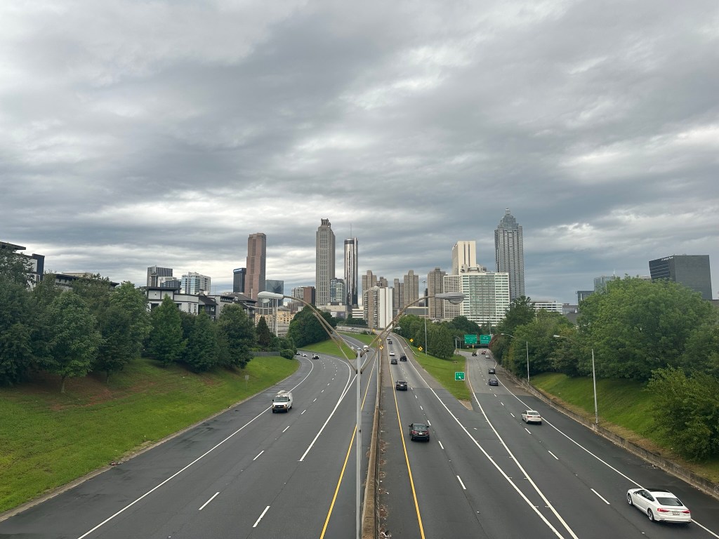
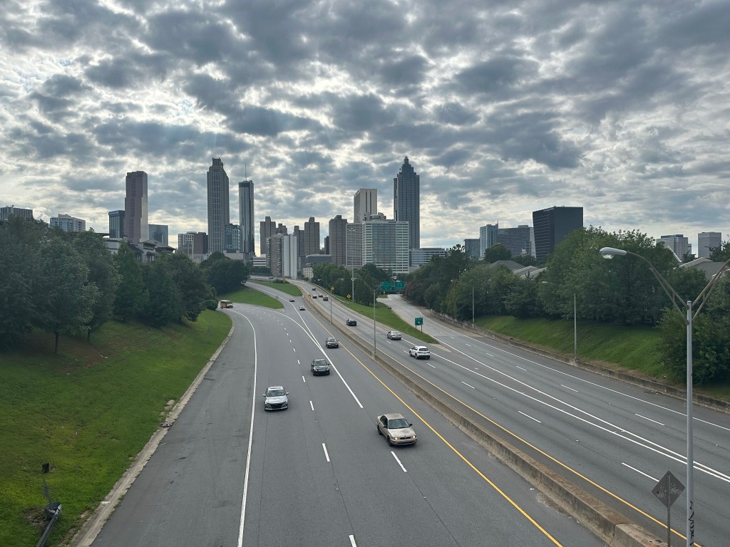
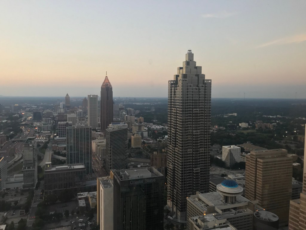
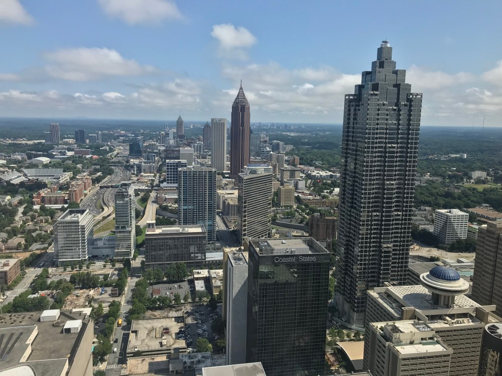
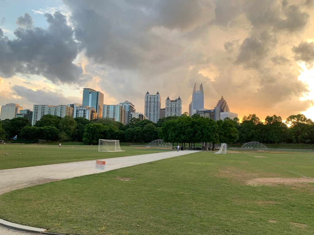
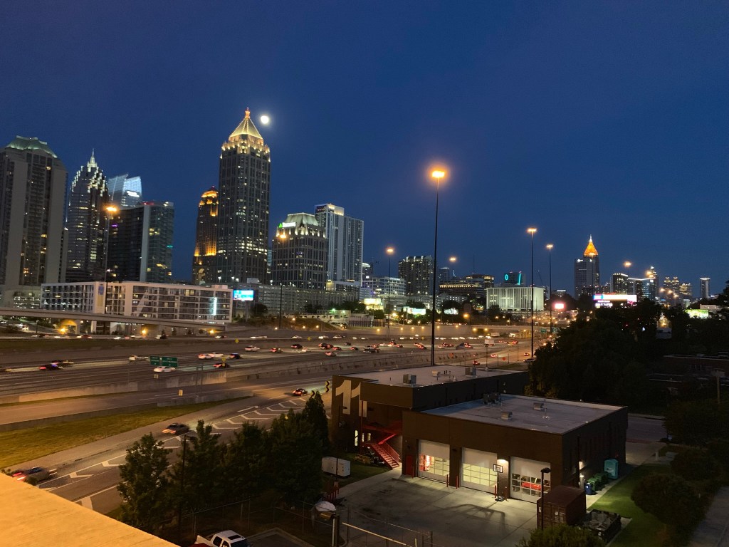
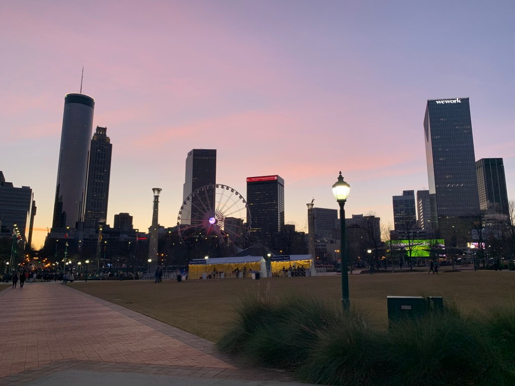
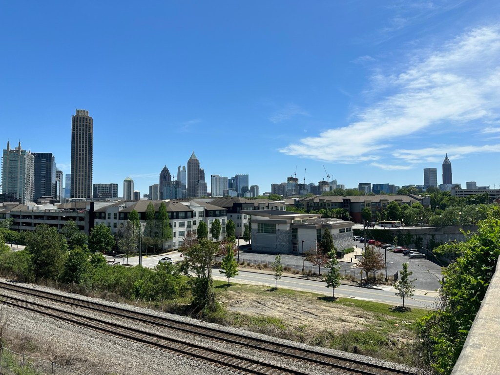
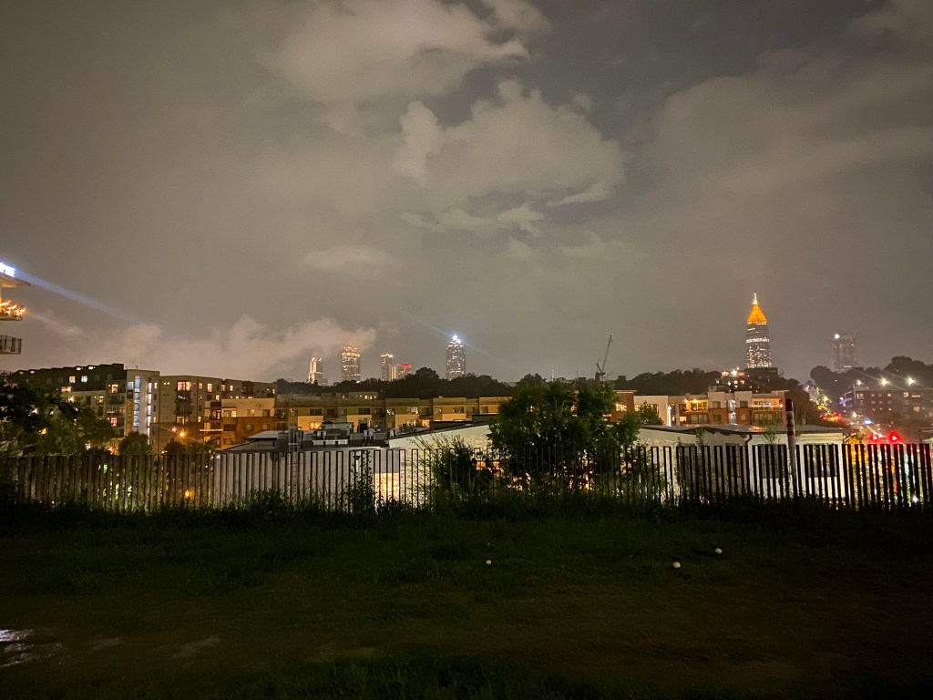
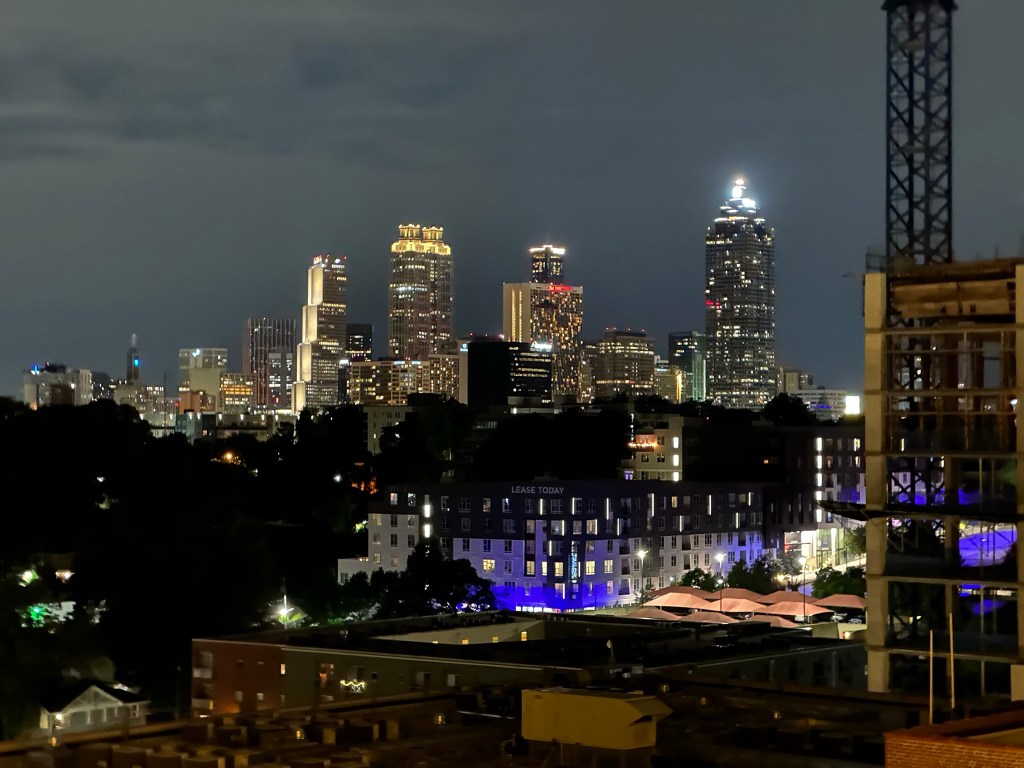
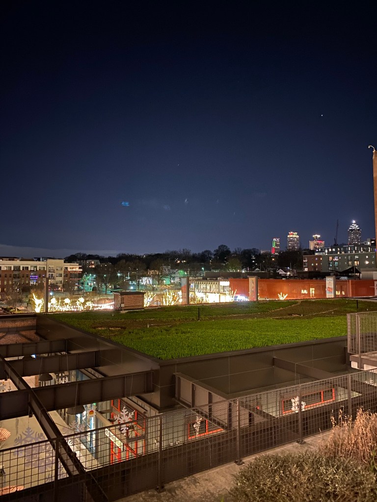
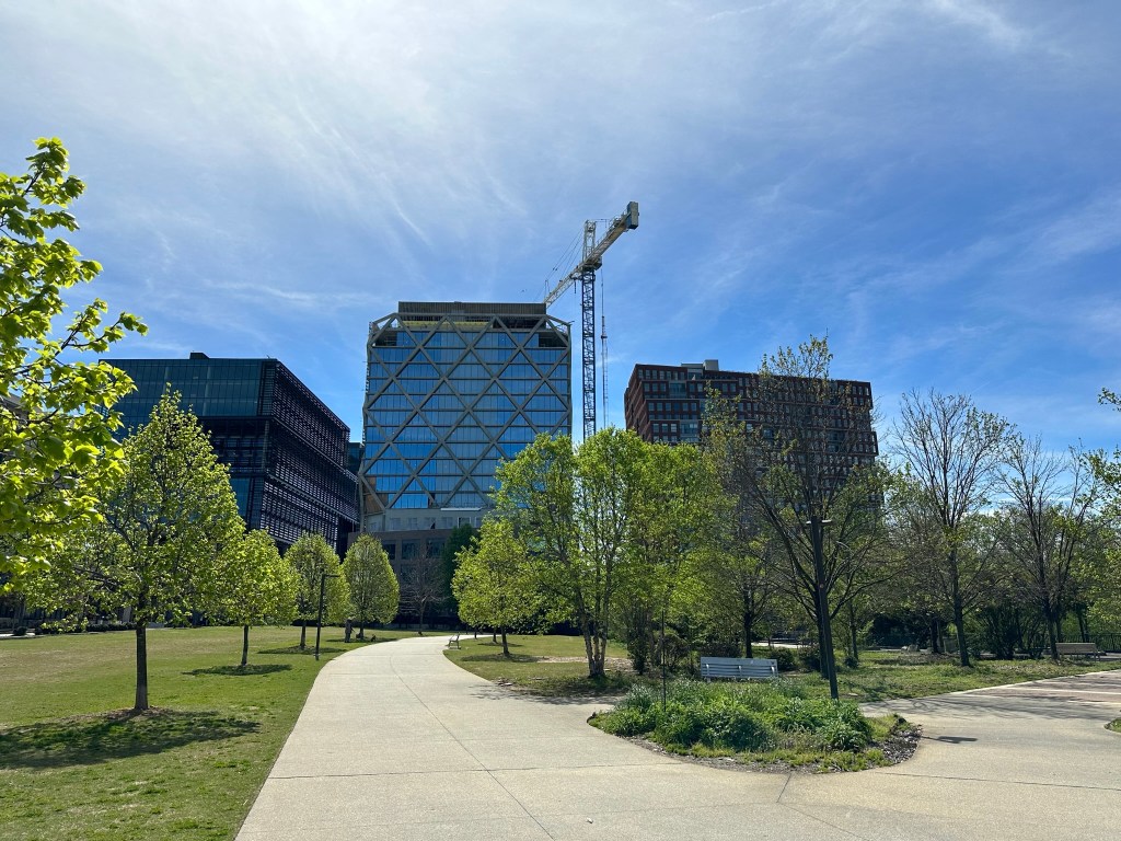
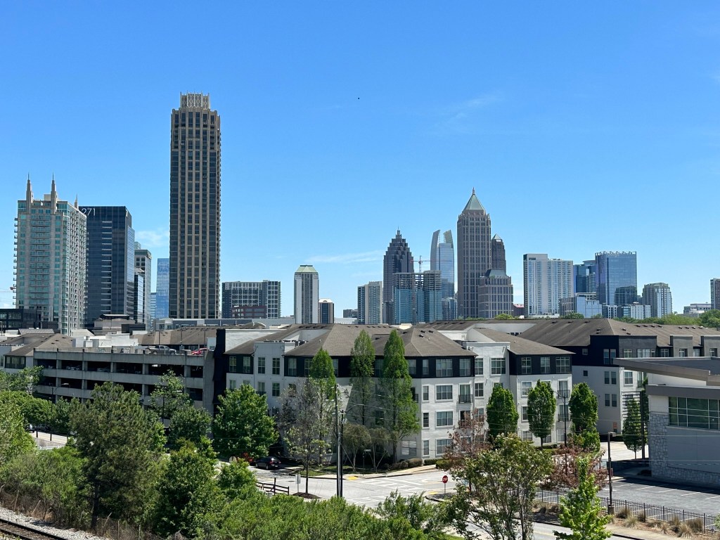
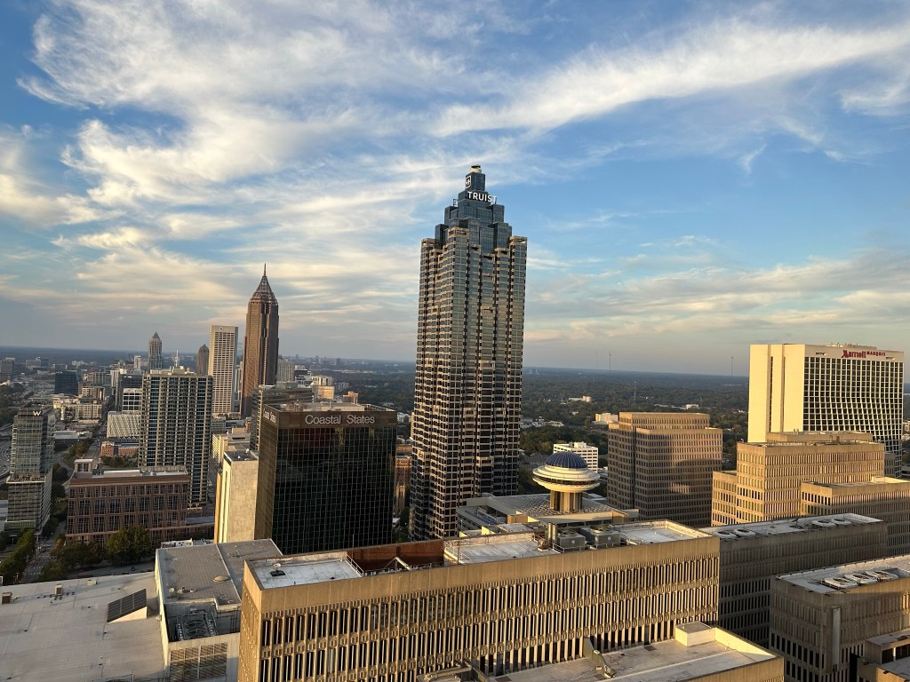
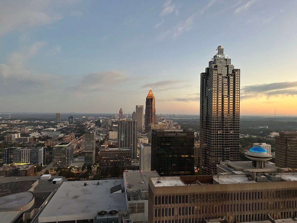
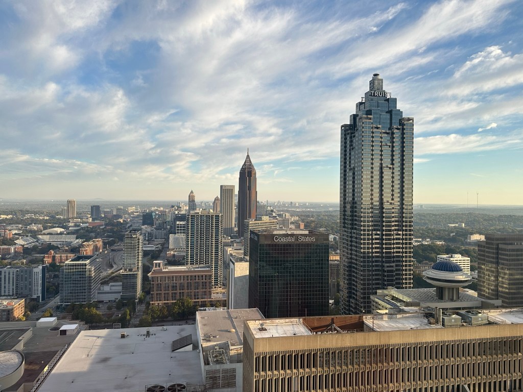
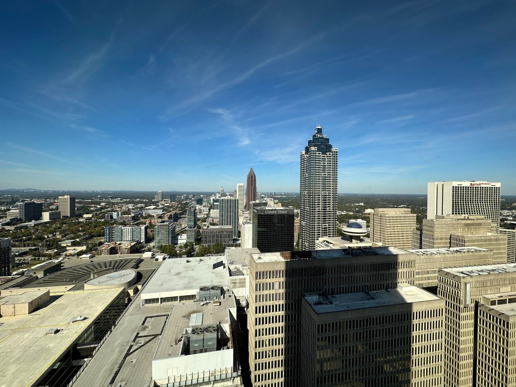
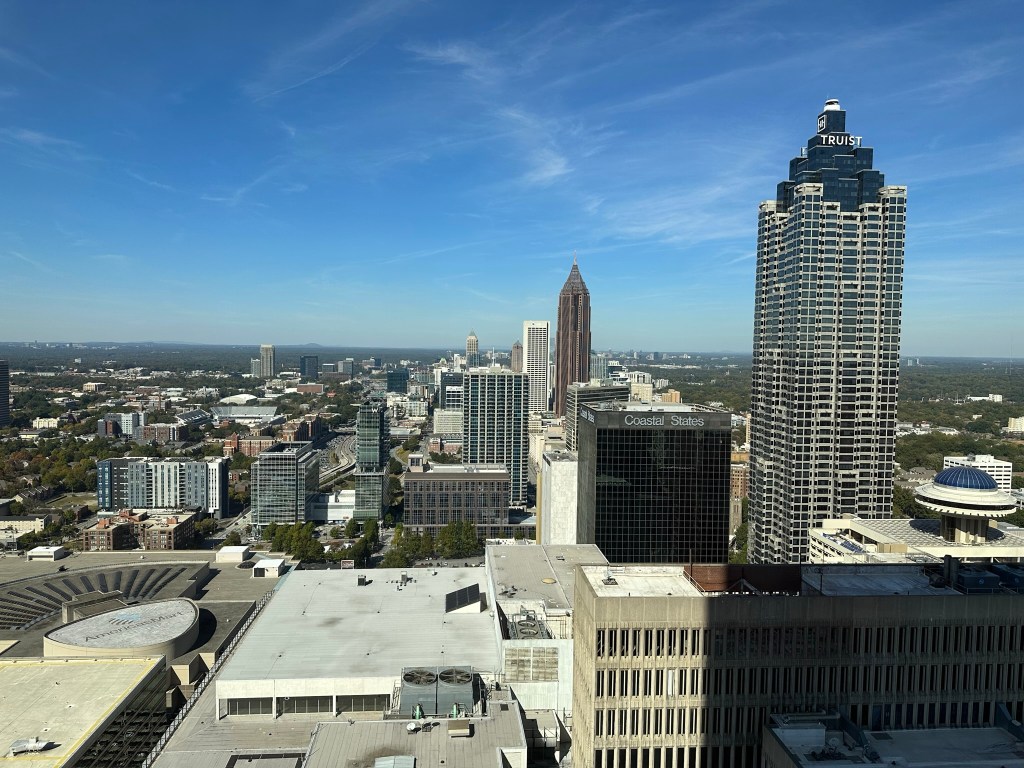
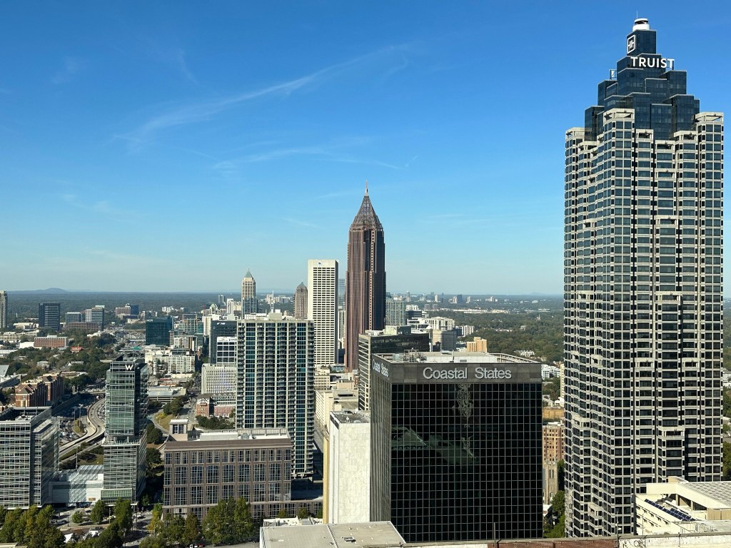
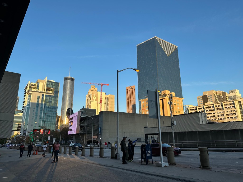
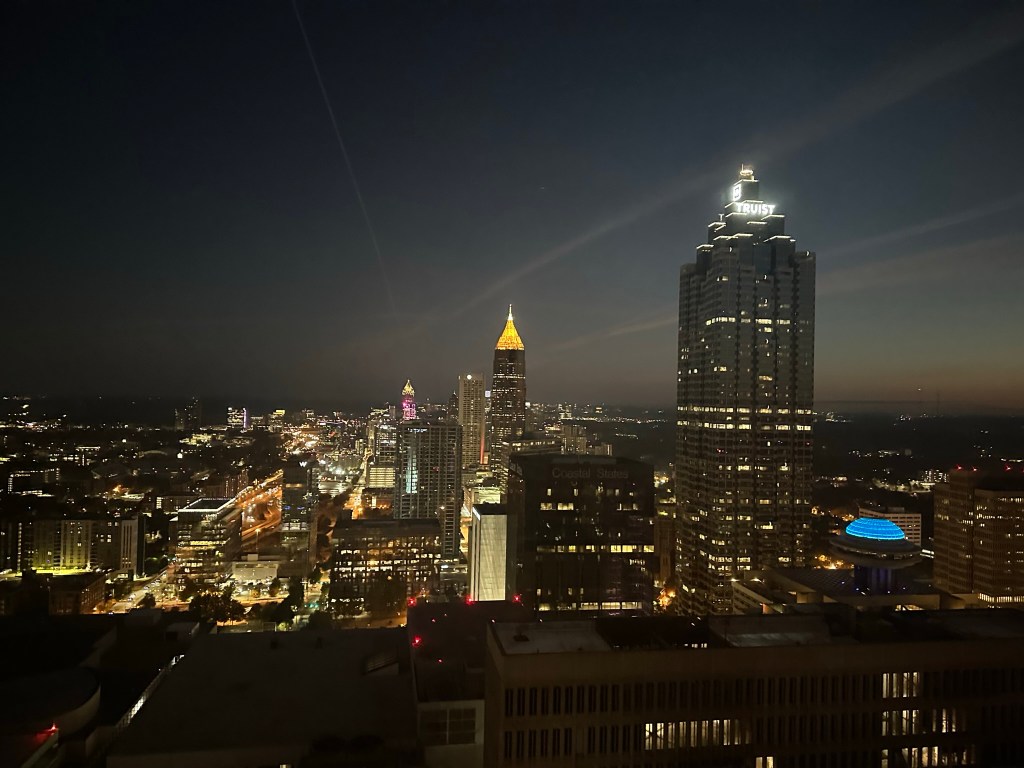
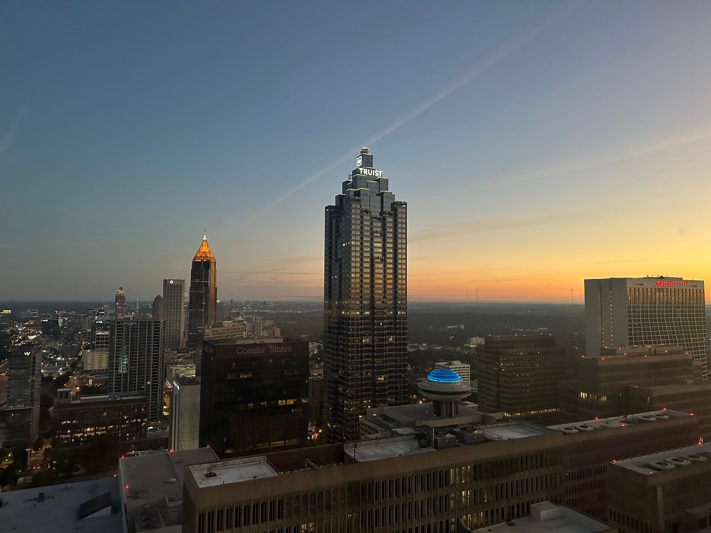
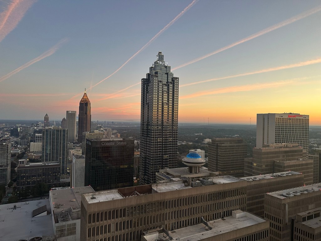
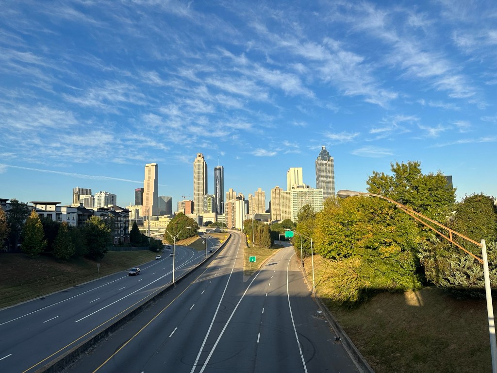
Downtown Atlanta – DJI Mini 3 Pro – August 2023
I come home full of ideas and ready to make an impact whether it’s helping shape safer streets, coming up with sketches for dense and sustainable neighborhoods, advocating for our future, or just meeting with and getting to know you all.
Articles featuring ideas for the future of Atlanta
Atlanta, for all it’s flaws and challenges is home. It’s not perfect but the future is bright. Next time you see me on the Beltline, be sure to stop and say hi. Let’s get to work!
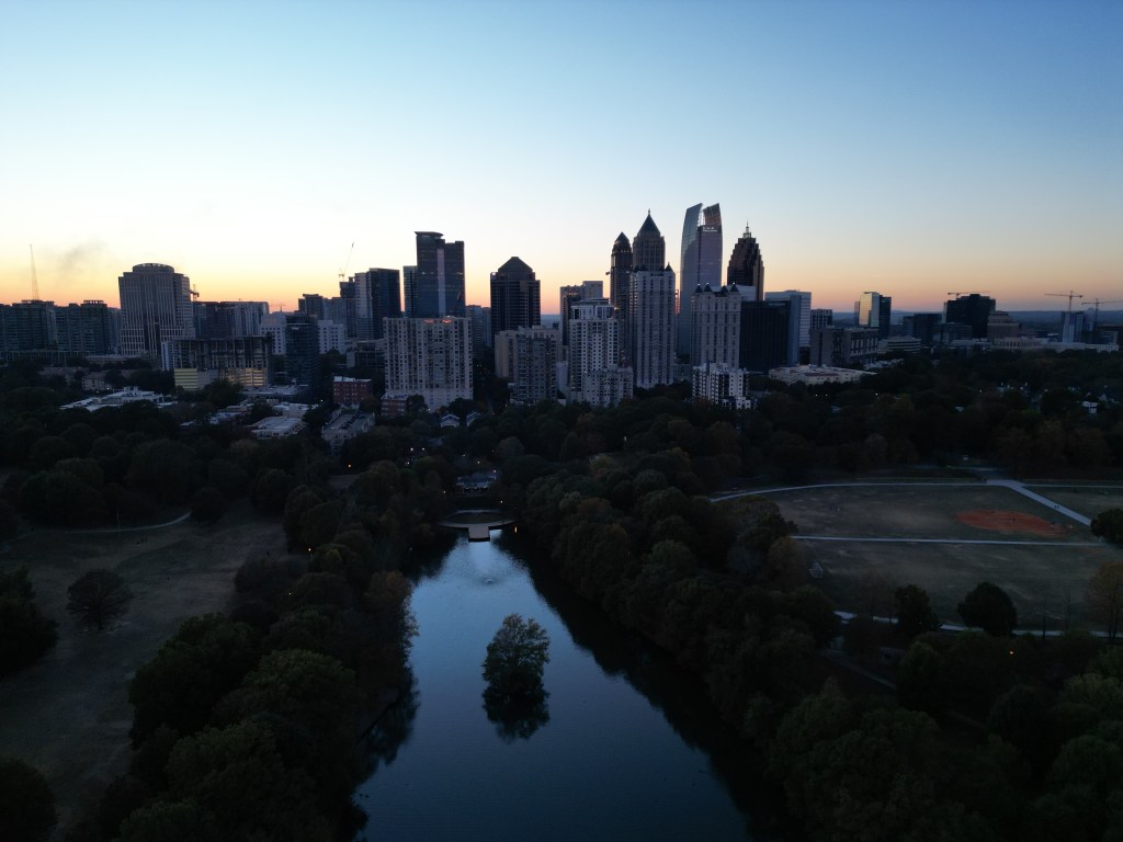
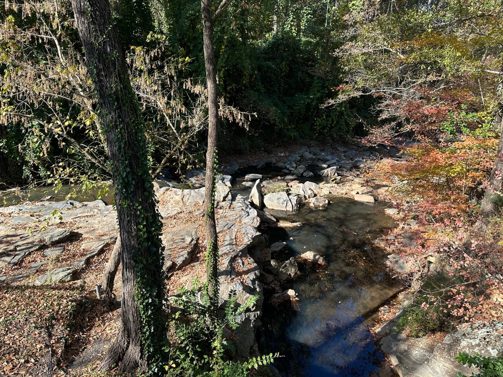
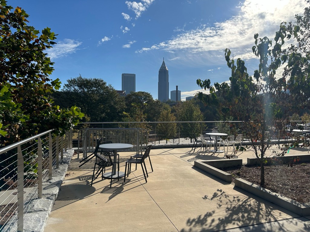
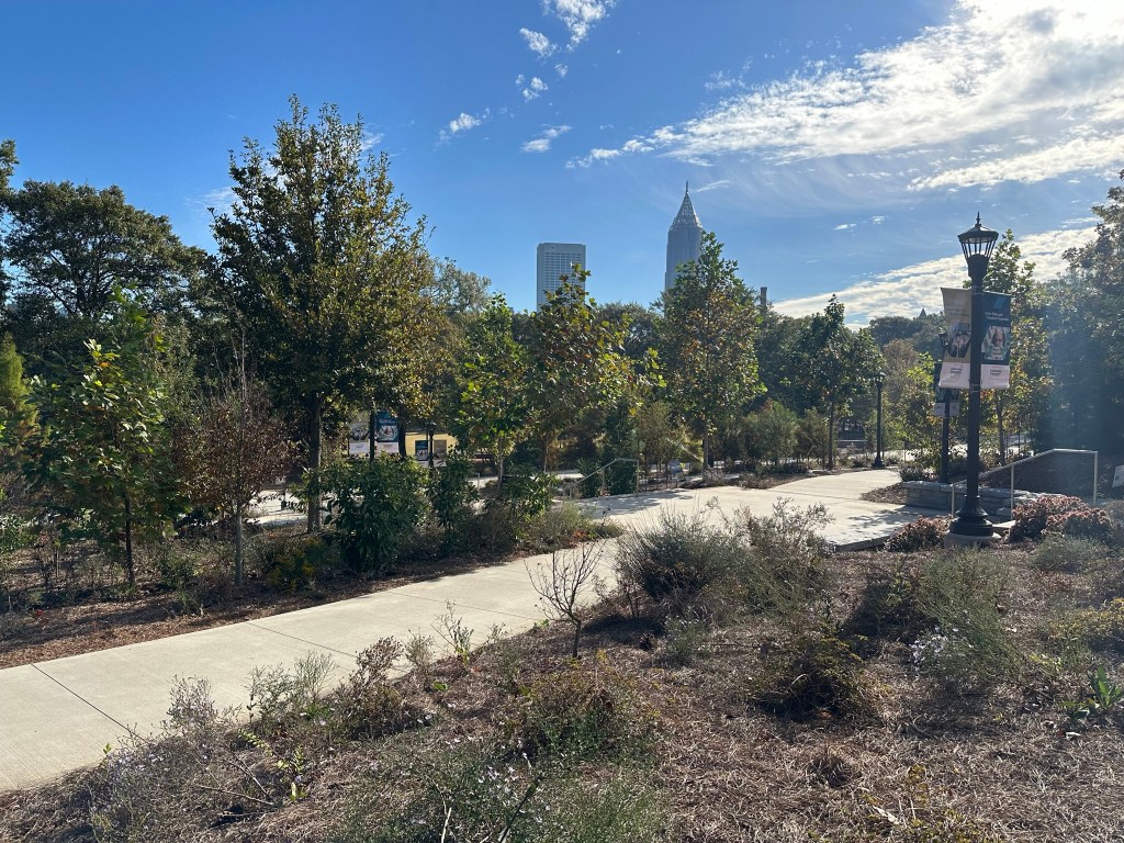
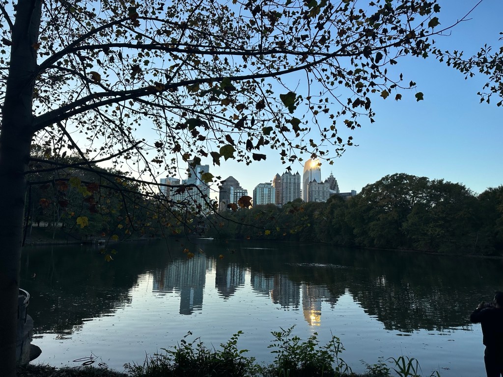
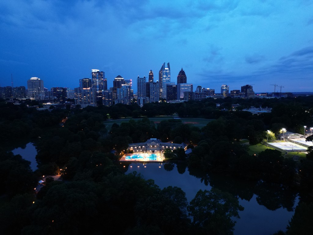
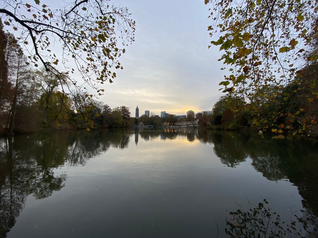
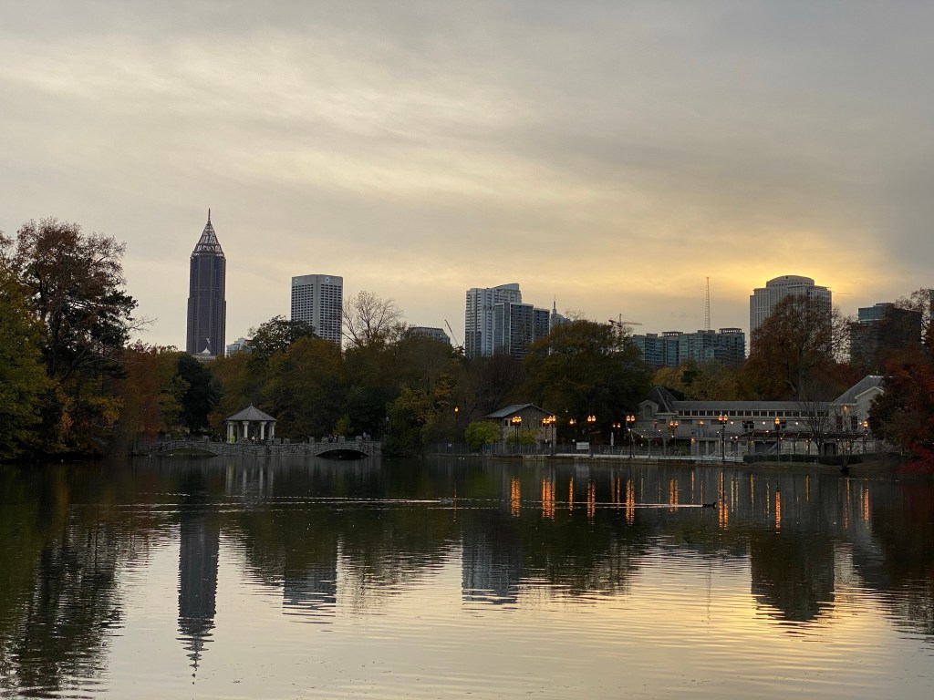
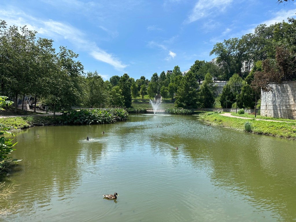
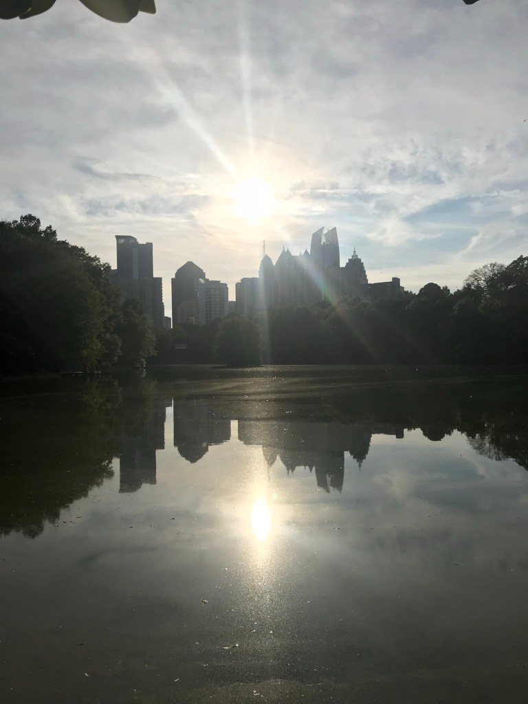
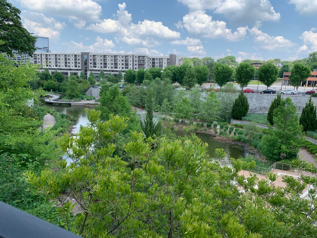
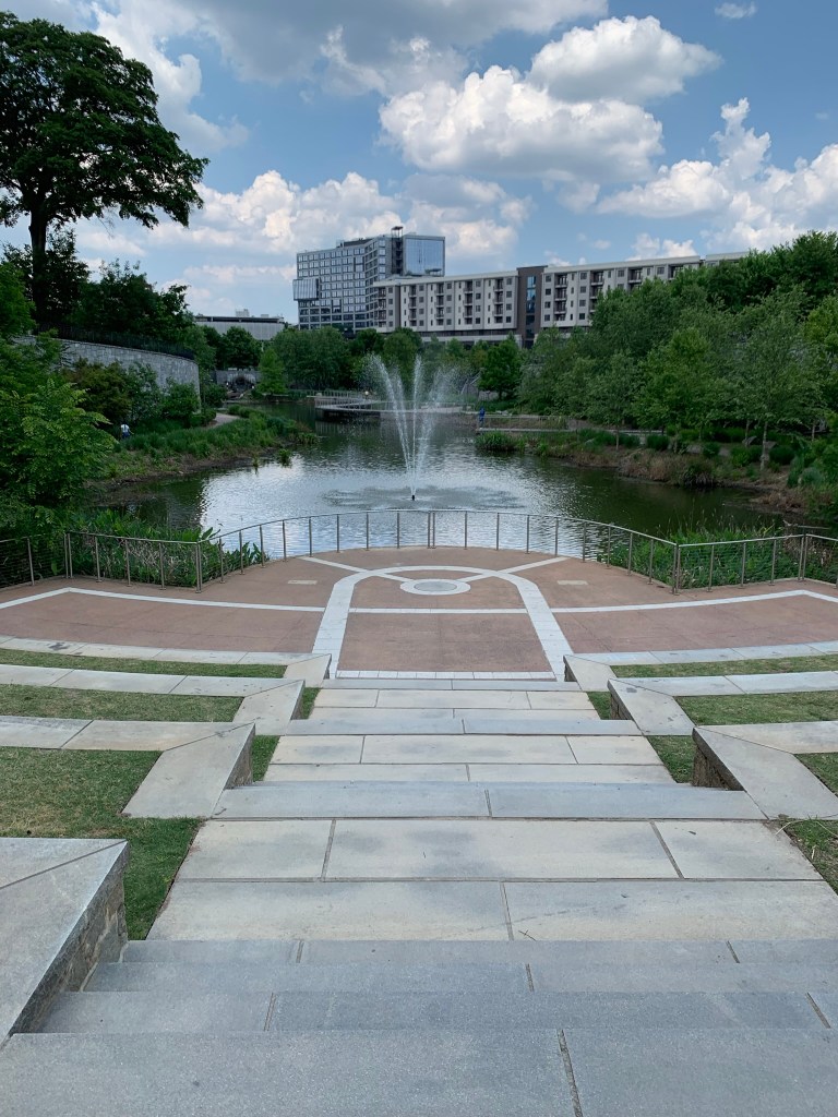
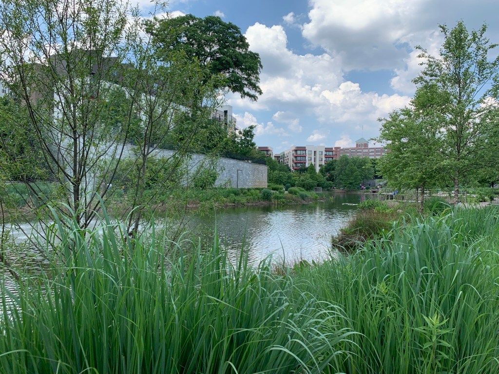
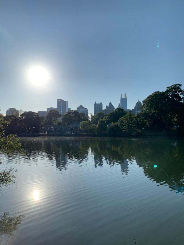
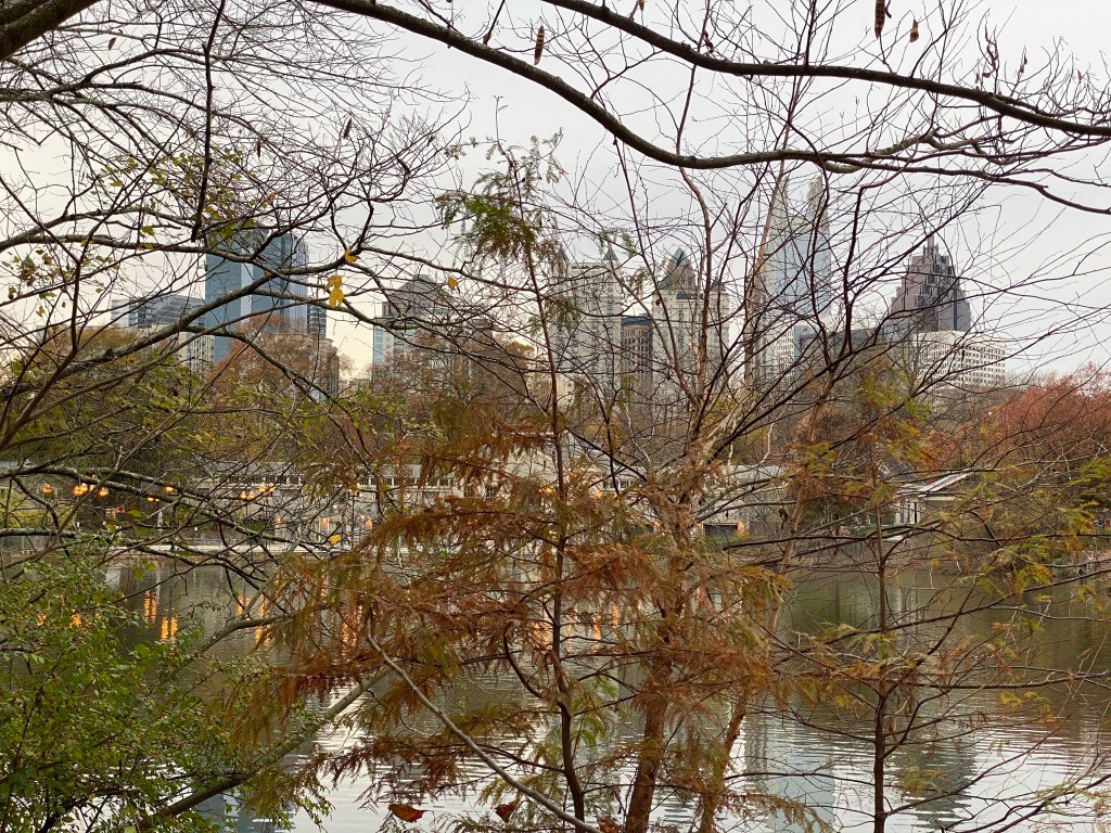
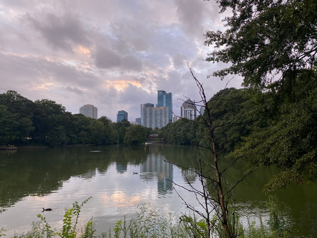
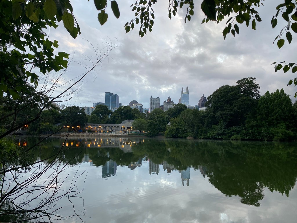
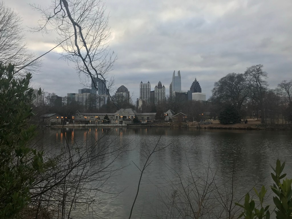
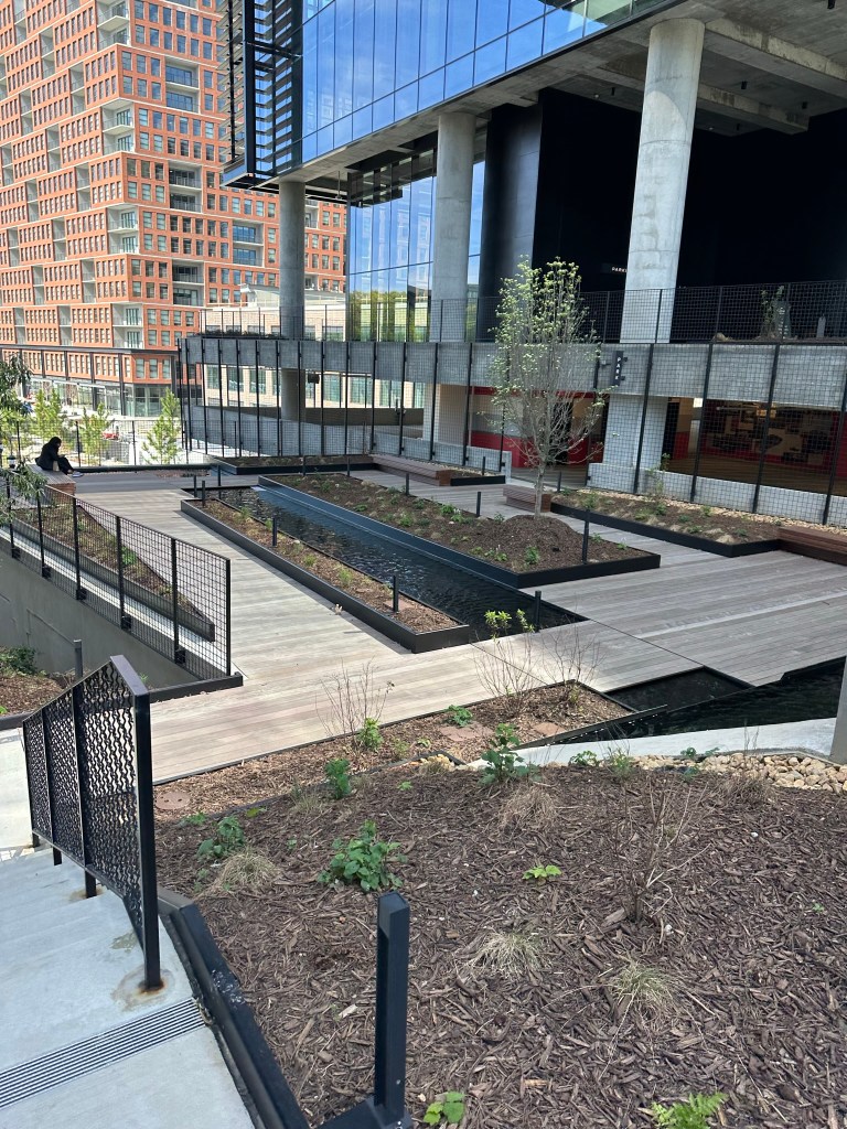
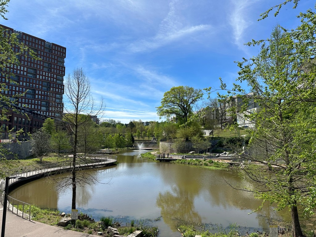
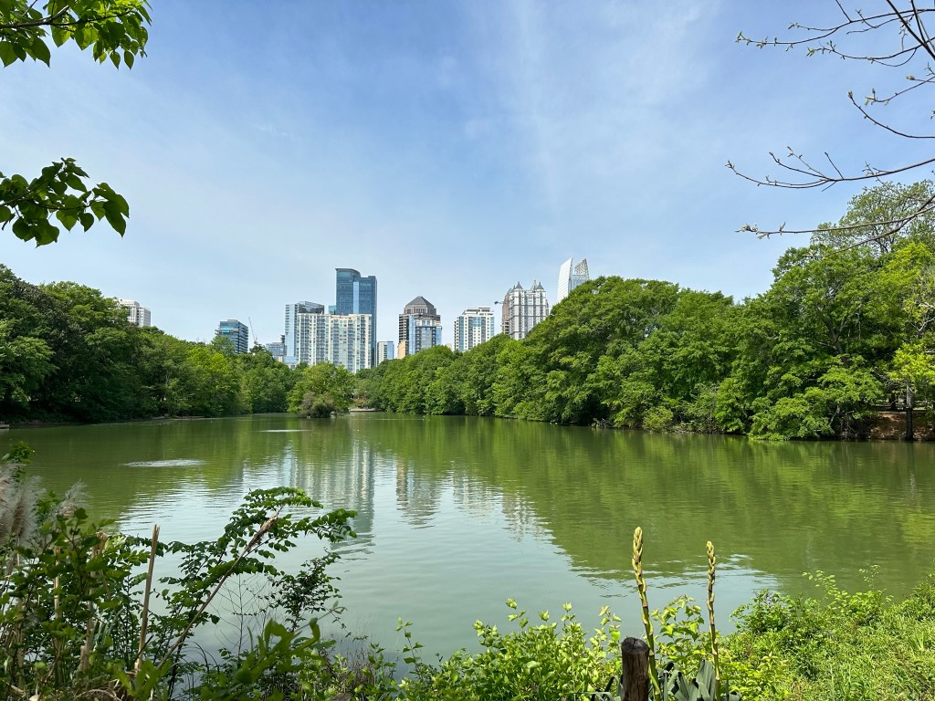
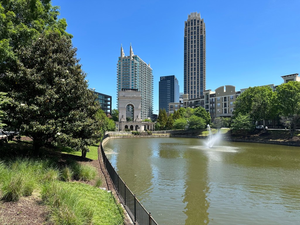
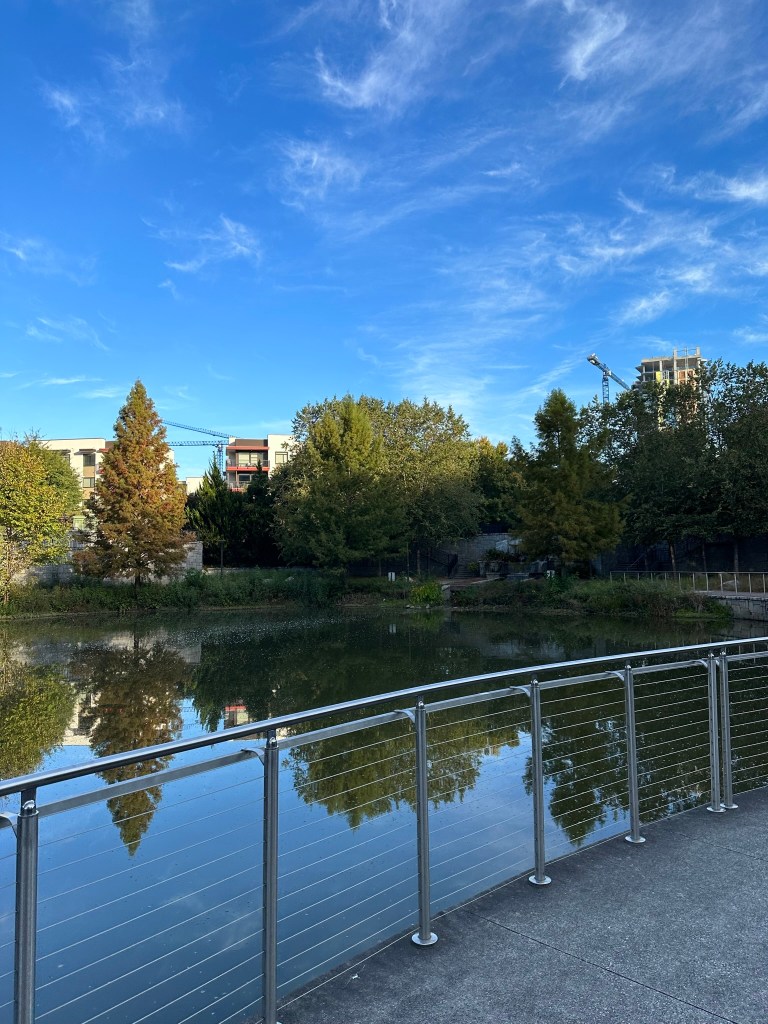
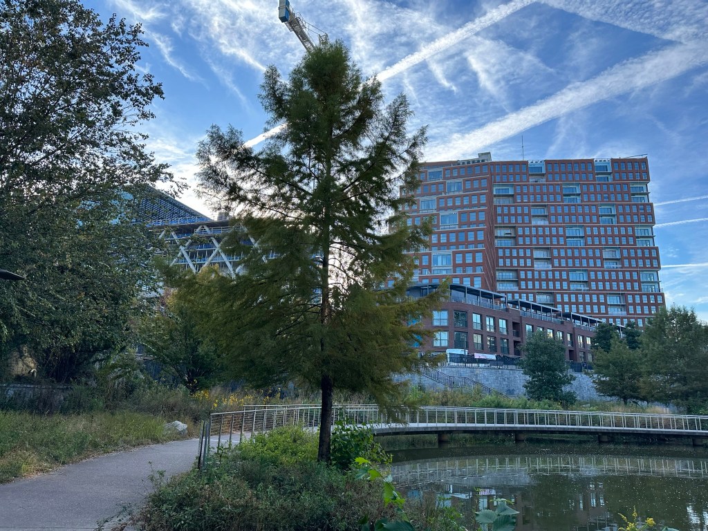
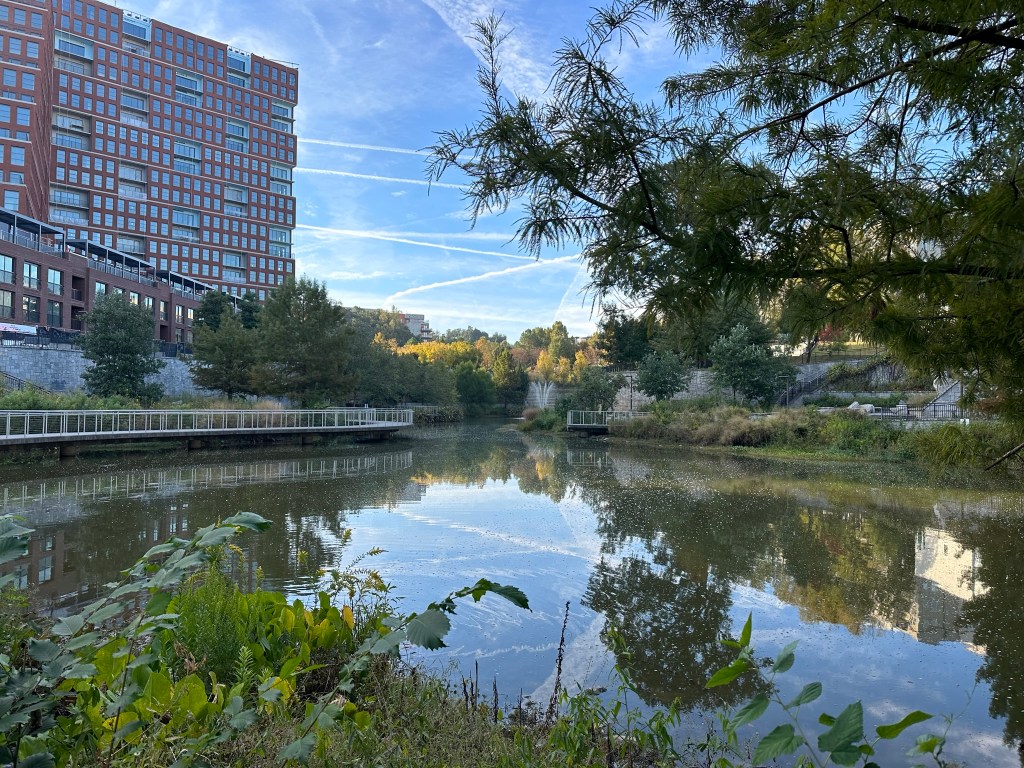
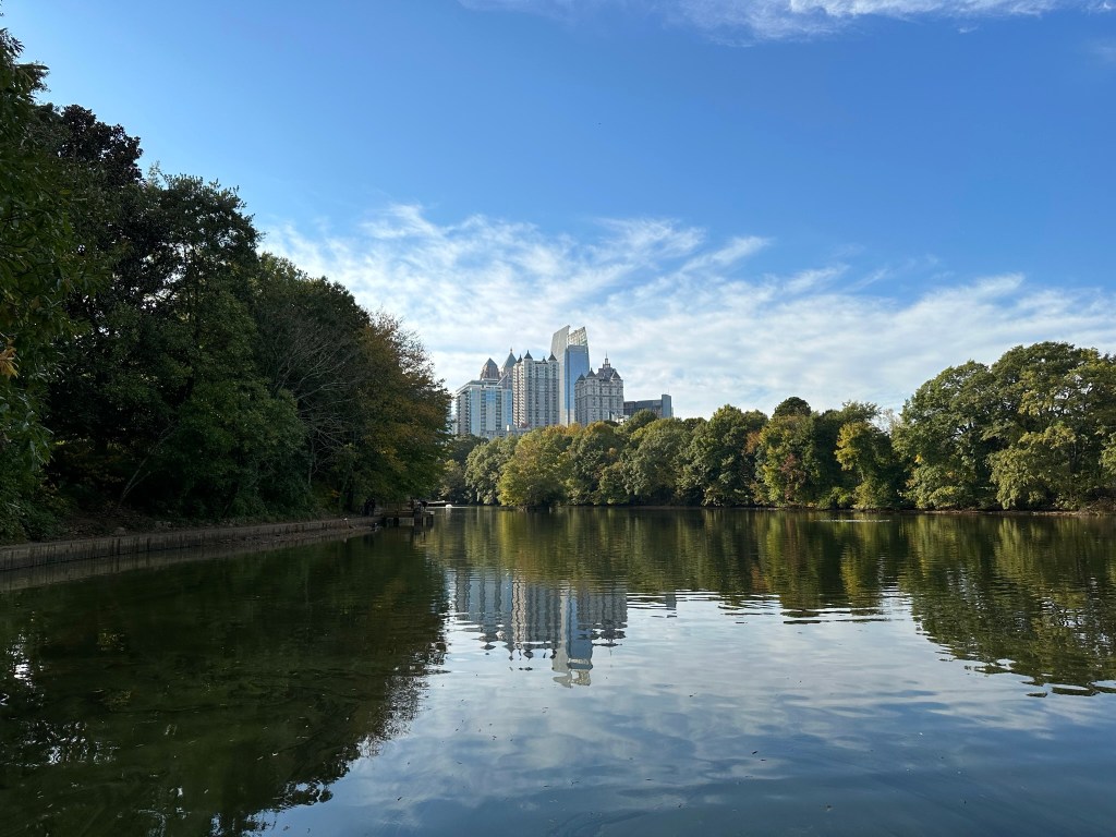
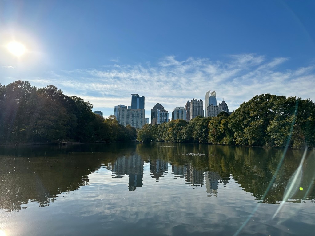
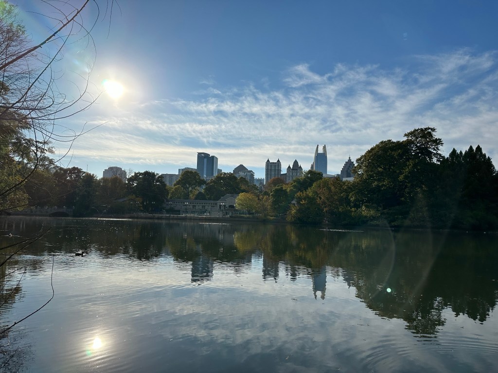
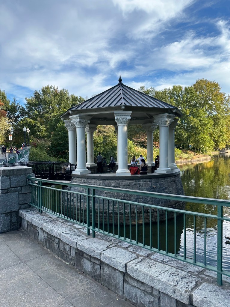
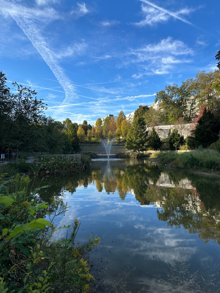
Old Fourth Ward Park Pond – November 2023
Phil Veasley is a Professional Engineer working to design safer multimodal infrastructure in cities throughout the US. My goal is to create cites that are safe and effective for all people to move about outside of cars. To achieve that we have to focus on creating equitable, dense, and vibrant cities full of walkable neighborhoods with a various mix of housing choices, schools, restaurants, and services. We cannot have safe multimodal infrastructure without the density to support it and we cannot have equitable density without safe multimodal infrastructure. Outside of designing safe streets, my passions are sketching ideas for infill neighborhoods, floor plans, urban photography, and exploring our cities on foot or bike. Please check out the menus above for all of my ideas and also check out my YouTube, Instagram, and Twitter accounts.
Opinions and insights are my own and are not representative of my employer or any organization.
Subscribe to receive email notifications for new articles.
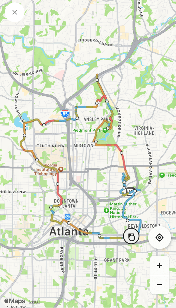
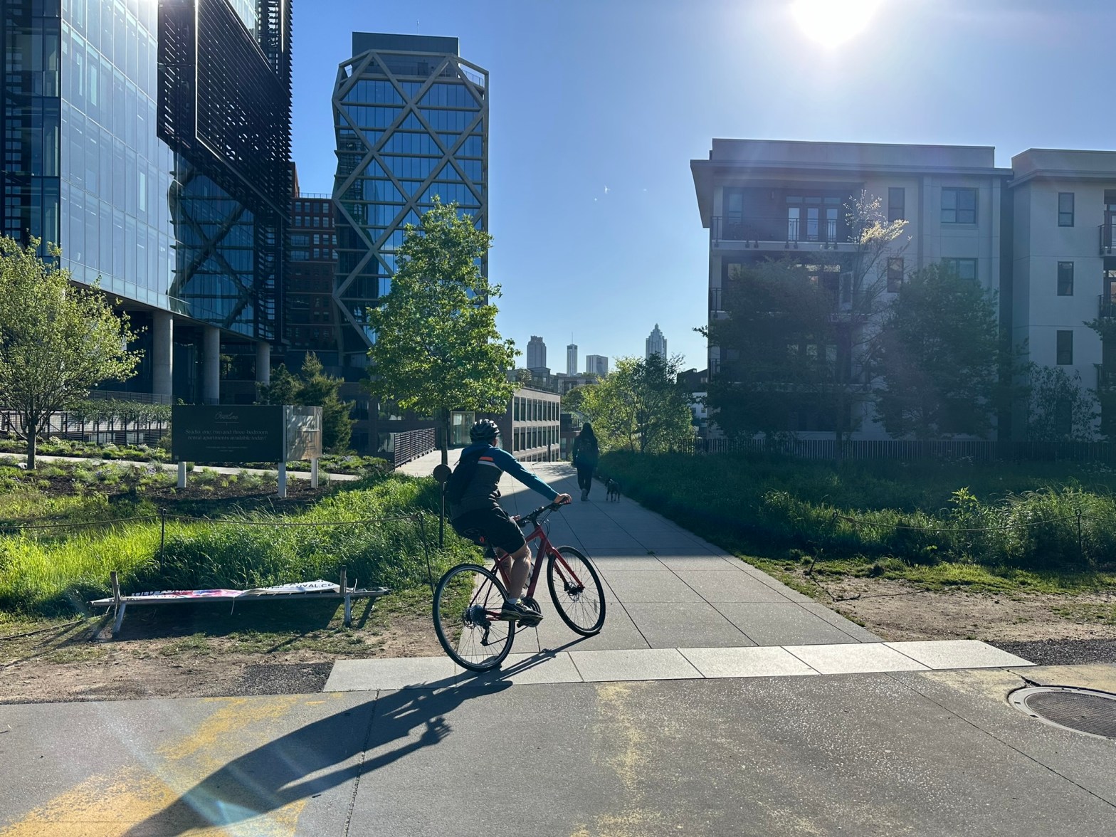
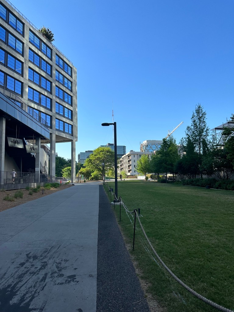
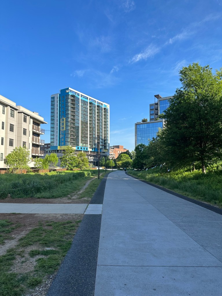
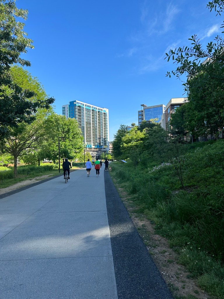
The following is from a thread of rapid fire thoughts and images from a 20 mile bike ride around the City of Atlanta.
We are so close to completely being able to get around safely by bike!
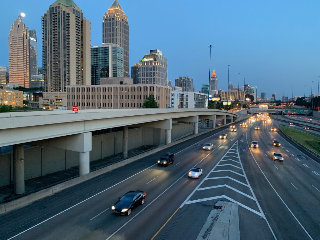
My thoughts and pics from a 20 mile ride around Atlanta.
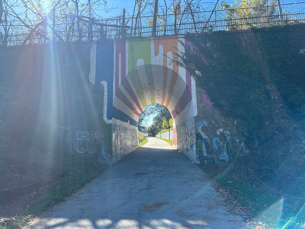
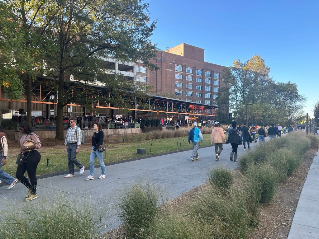
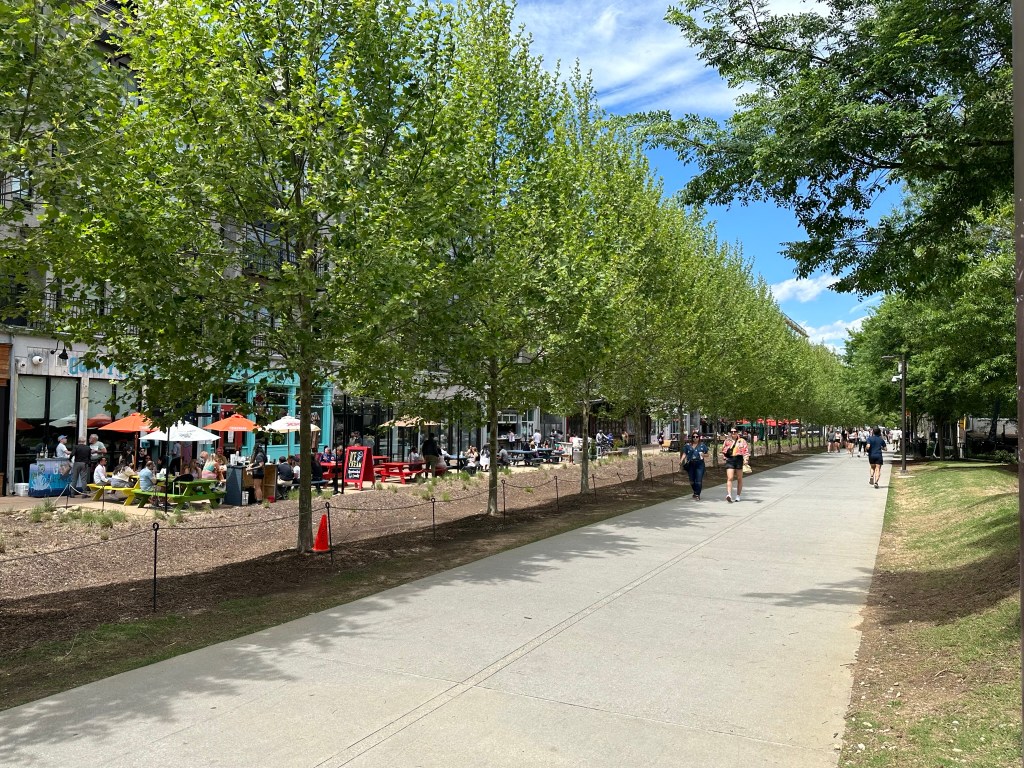
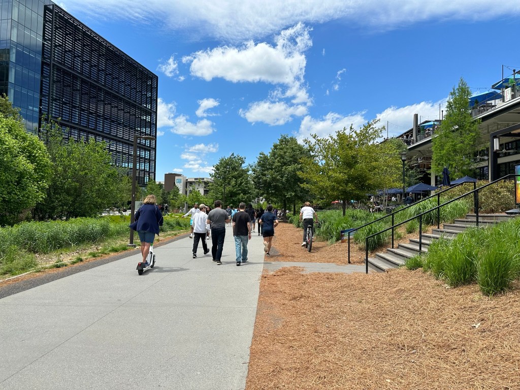
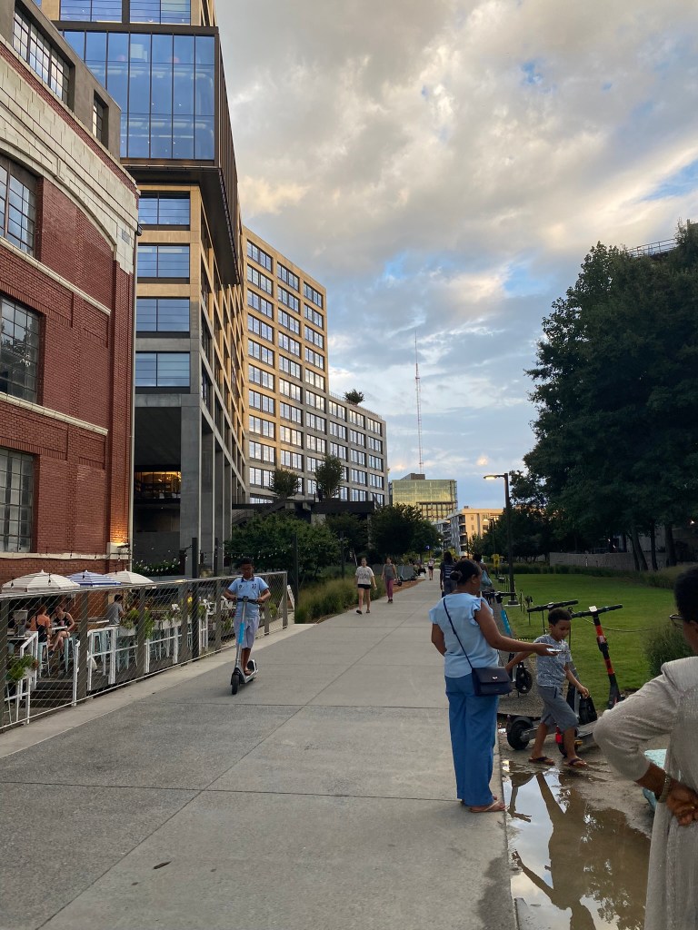
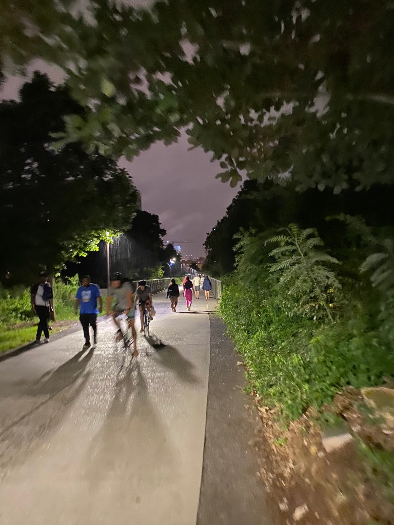
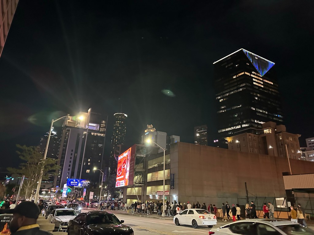
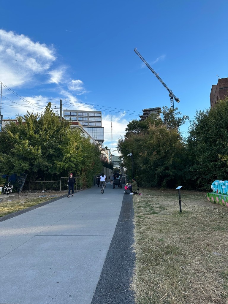
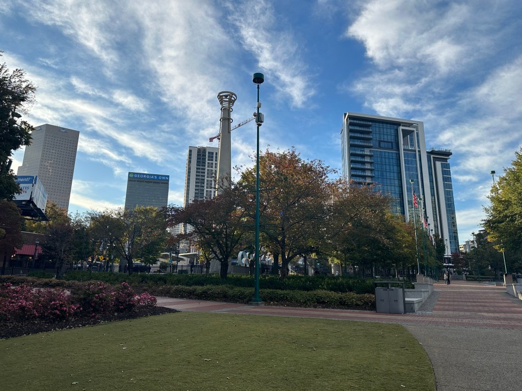
The Beltline of course is great, but it can be incredibly hard to bike with any pace during peak times due to crowding. Imagine saying this 10 years ago.
The section of Beltline next to Piedmont can’t open soon enough! Due to festival, no bikes were allowed in the park and had to detour along Piedmont Ave’s sidewalk which was not fun!
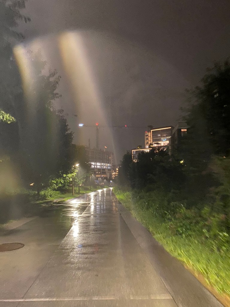
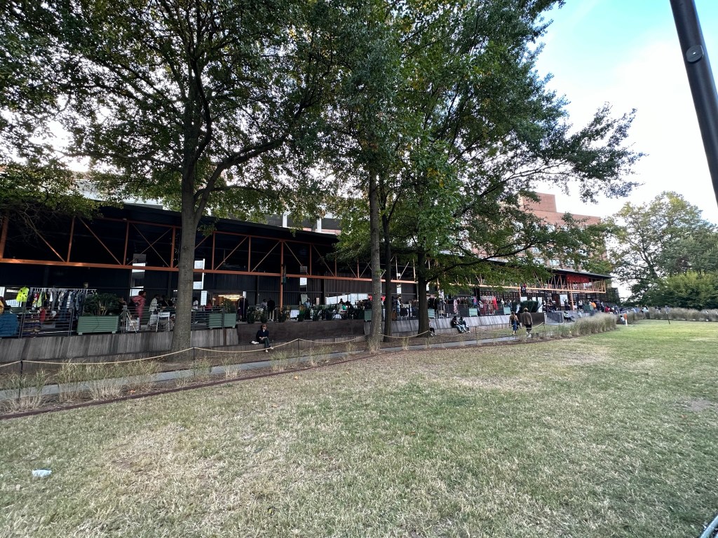
Once I got back to the park the new boardwalk and Beltline section are amazing! The newer section heading toward Armour Yards is in full bloom and looking great. Traffic on Buford-Spring is not.
Riding through Ansley park has its challenges but most of the roads are quiet and 25 mph. The hills suck when a car gets behind you though.
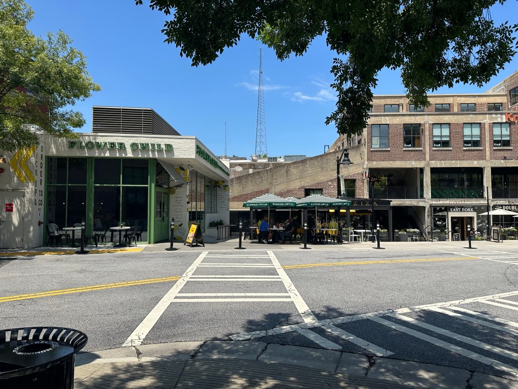
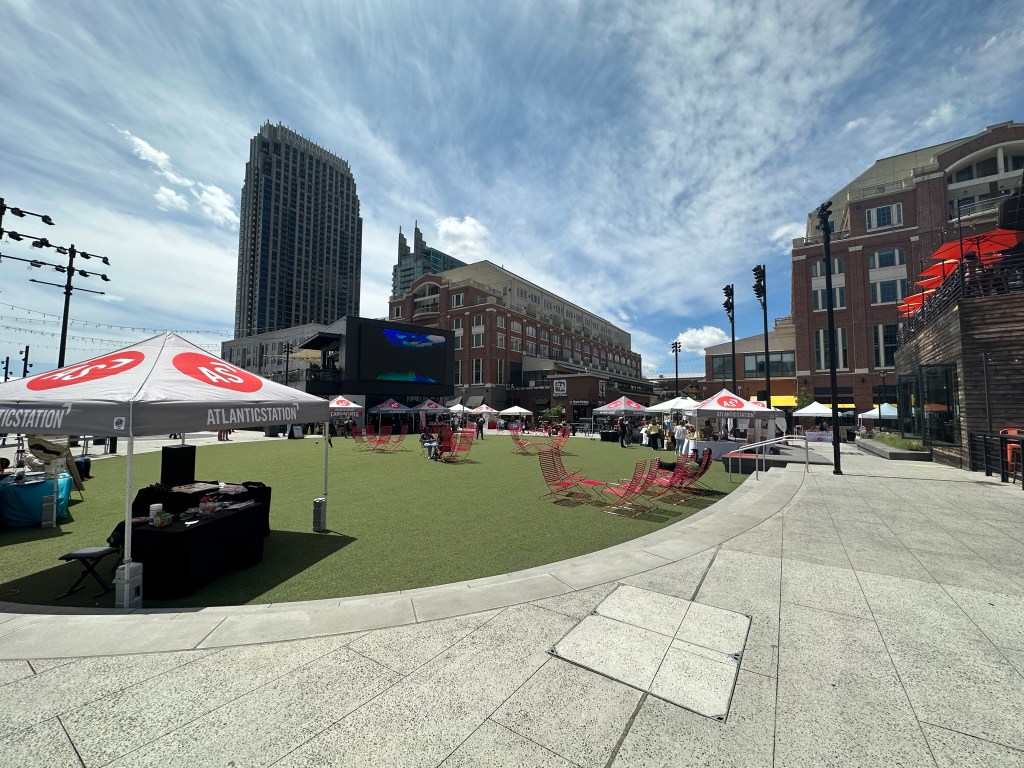
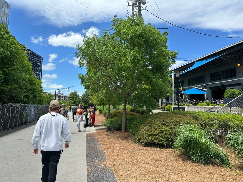
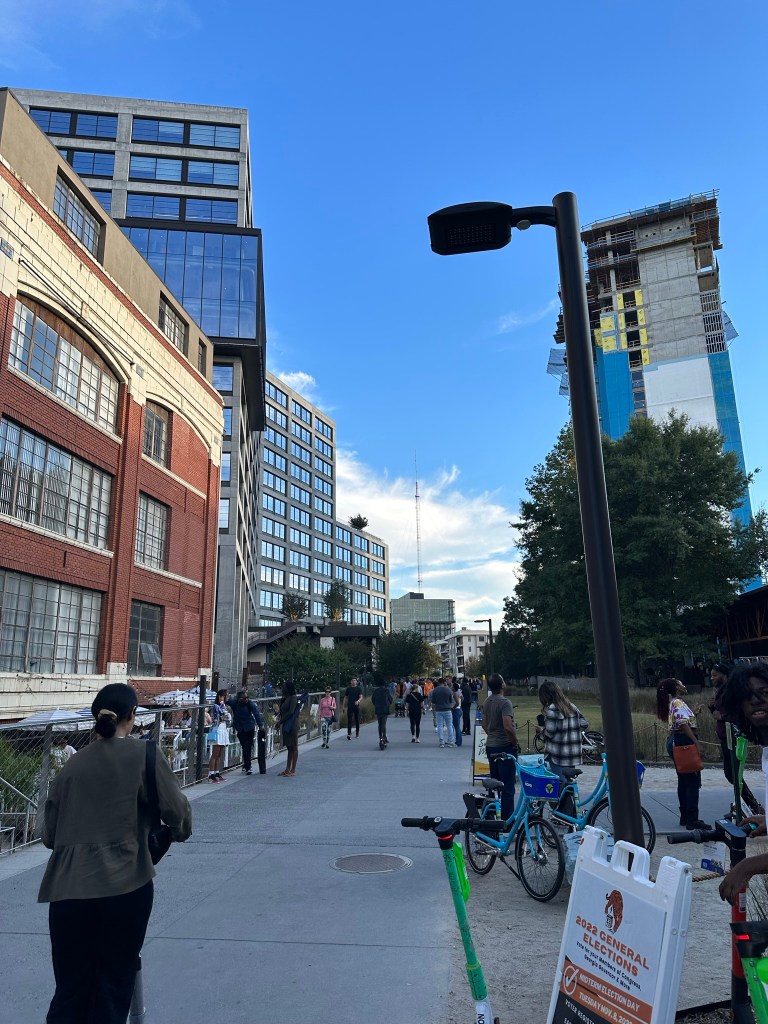
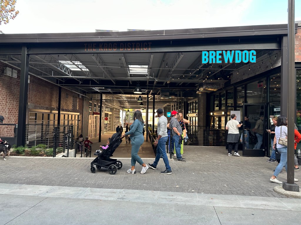
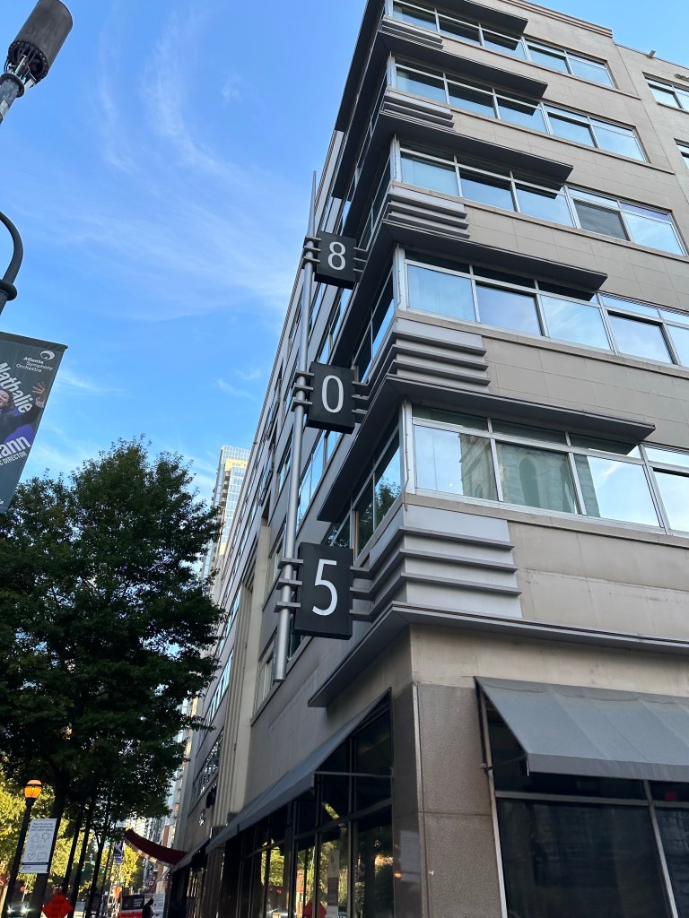
Opted to take the sidewalk through Atlantic Station. It just felt safer.
The bridge renovation can’t come soon enough. Hopefully they’ll be some restriping and protection along the rest of 17th too.17th street west of Northside..YIKES. I’m thinking there will at least be a path with the waterworks park plan.
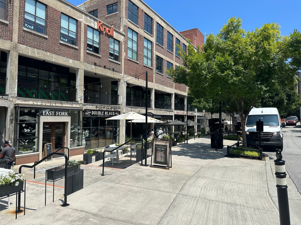
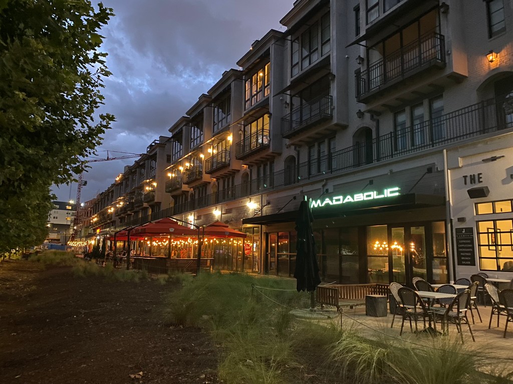
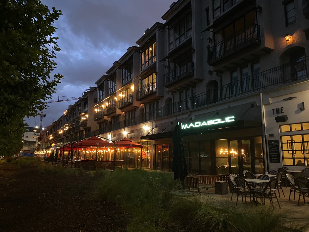
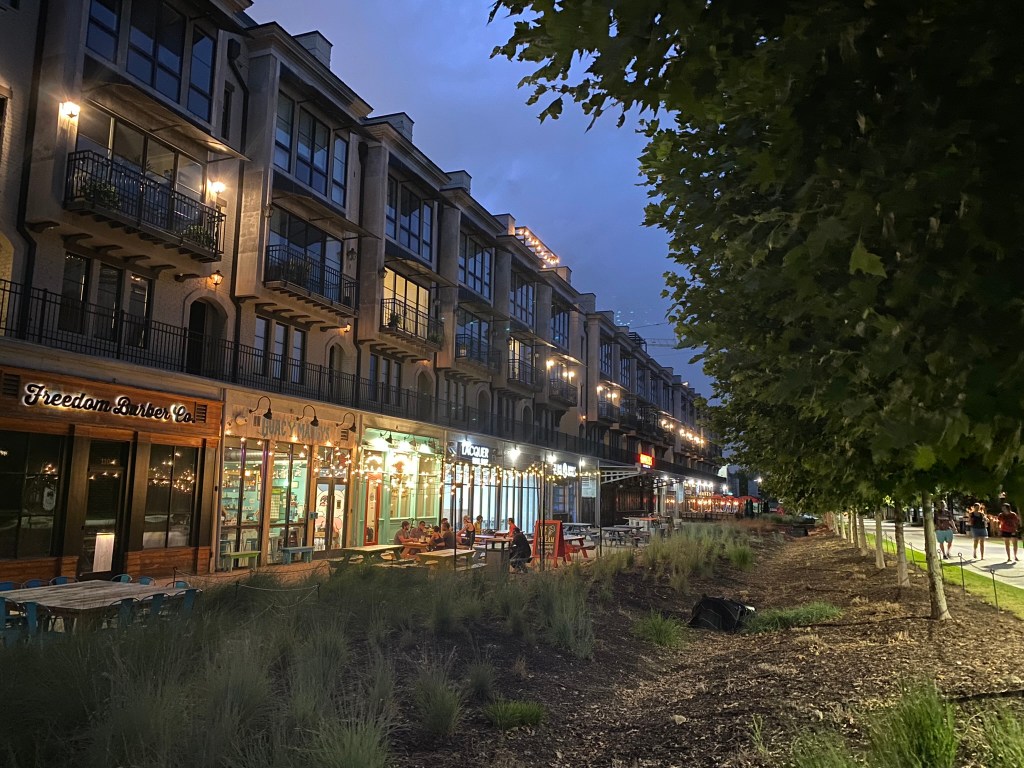
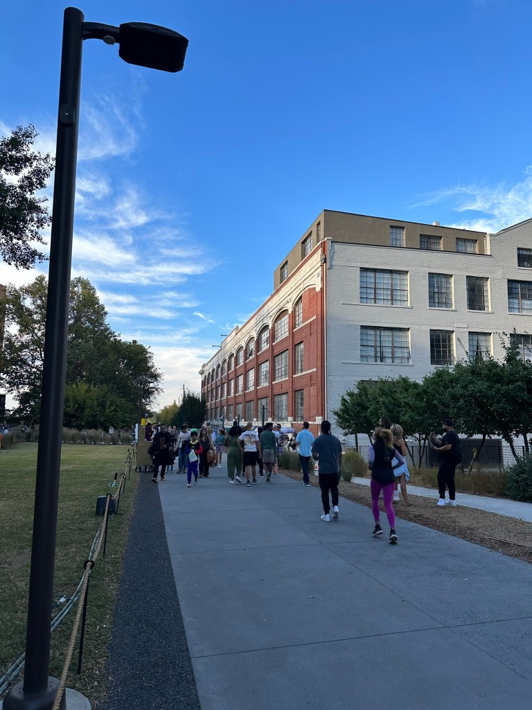
Howell mill will be better soon which will really compliment the Brady Ave cycle track. This area has some of the best mix of buildings and development in the city.
We’ll need another solid E-W route on 14th and/or 10th to really take it to the next level.
Parkway through Georgia Tech is just perfect.
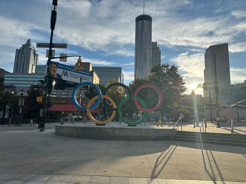
There’s some interesting configs along Centennial Park.
Forsyth’s final striping should be installed soon! Bike lanes with protection similar to the other South Downtown streets is coming.
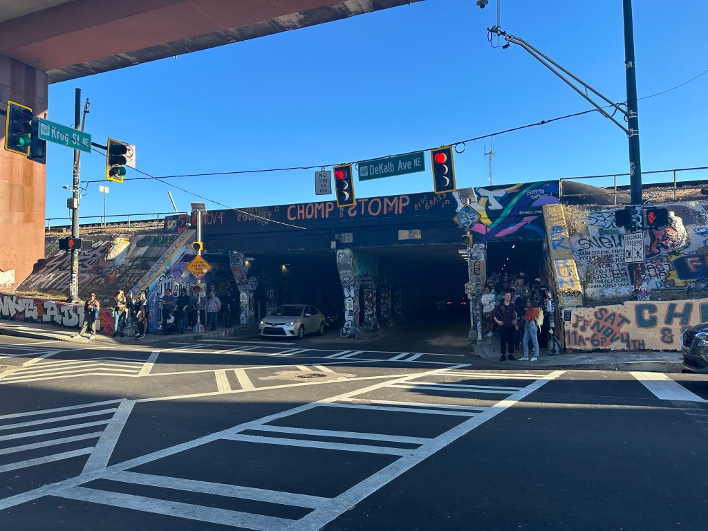
MLK Cycle Track! We need the extensions to the East and West of the main part ASAP.
Woodard is a pretty good temporary option until memorial is redone – which may be soon. The crossing at Boulevard almost got me killed though. There may be a light added here one day with the Boulevard complete street project. I’m interested to see what will be the long term play for the 2 blocks between Pearl & The Beltline. Curb to curb there’s no width to restripe like the rest. The sidewalks are wide enough to be shared but lots of utility poles muck it up.
Overall a great time and perfect weather! Love this city, man!
Phil Veasley is a Professional Engineer working to design safer multimodal infrastructure in cities throughout the US. My goal is to create cites that are safe and effective for all people to move about outside of cars. To achieve that we have to focus on creating equitable, dense, and vibrant cities full of walkable neighborhoods with a various mix of housing choices, schools, restaurants, and services. We cannot have safe multimodal infrastructure without the density to support it and we cannot have equitable density without safe multimodal infrastructure. Outside of designing safe streets, my passions are sketching ideas for infill neighborhoods, floor plans, urban photography, and exploring our cities on foot or bike. Please check out the menus above for all of my ideas and also check out my YouTube, Instagram, and Twitter accounts.
Opinions and insights are my own and are not representative of my employer or any organization.
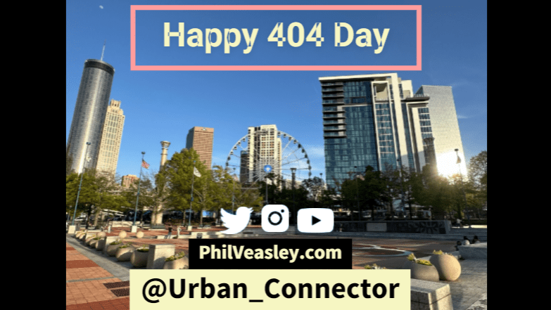
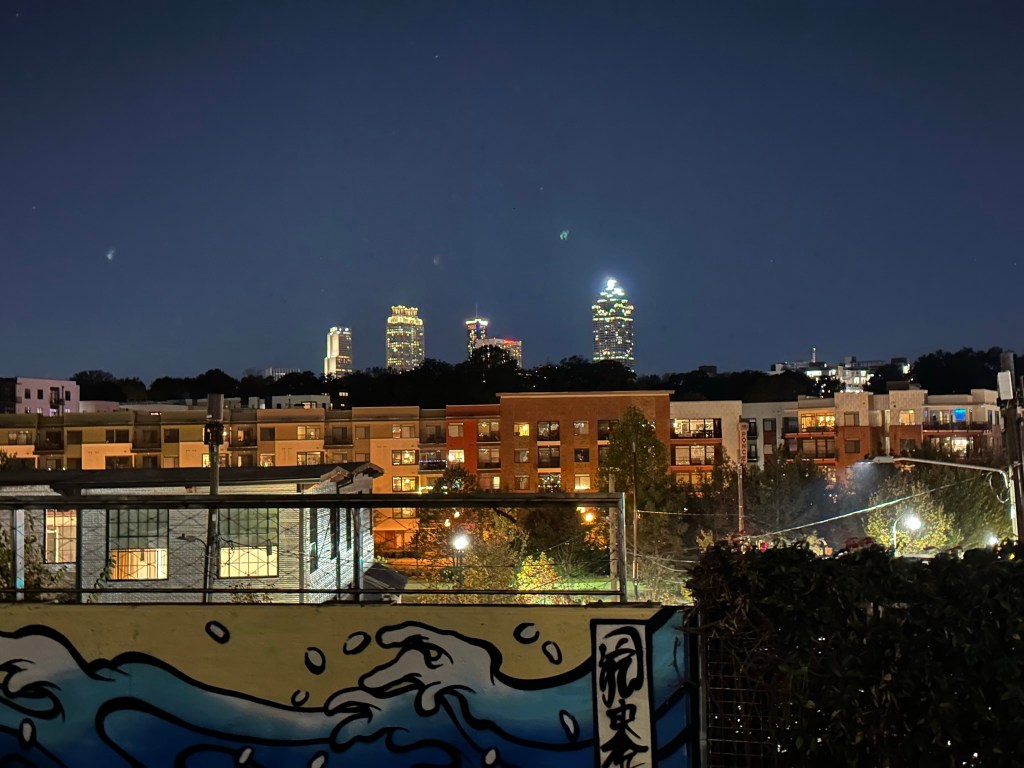
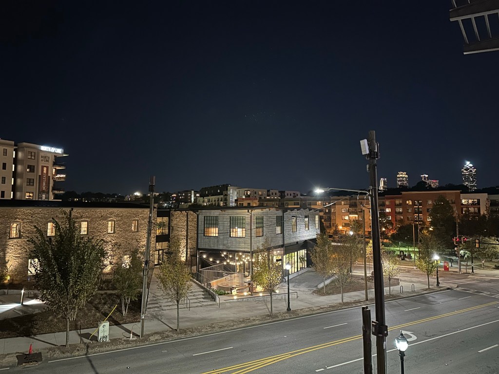
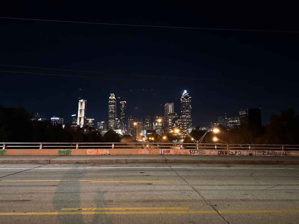
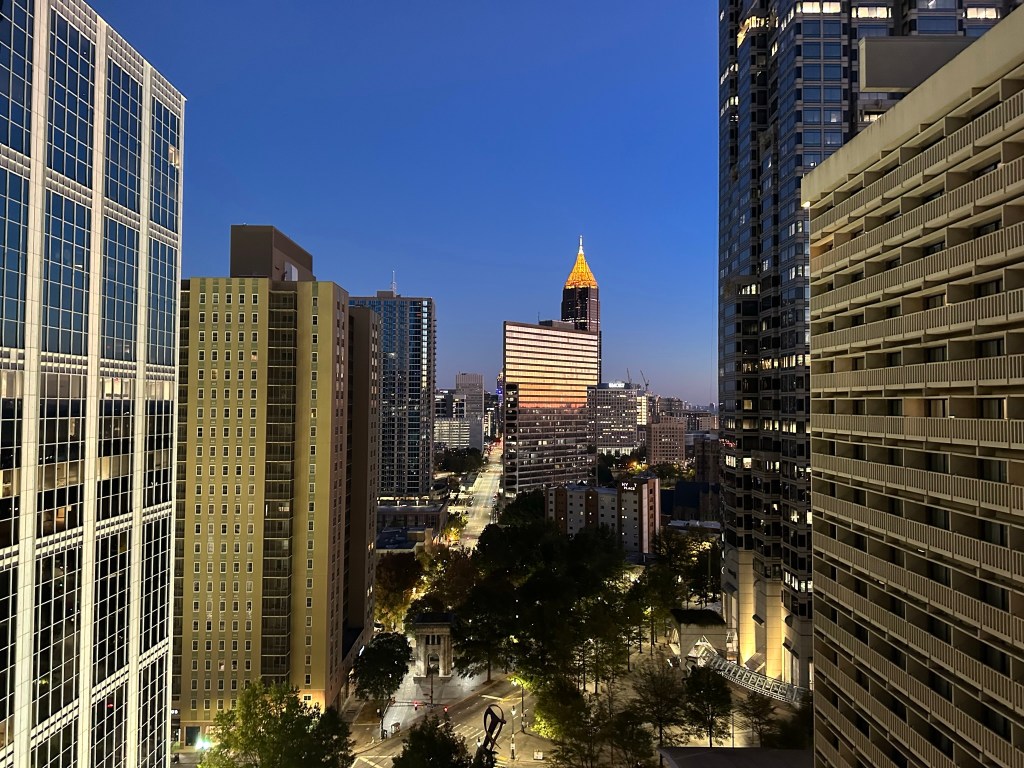
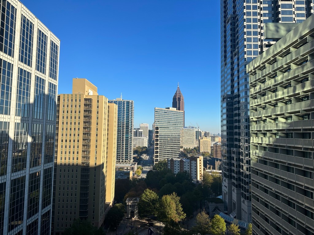
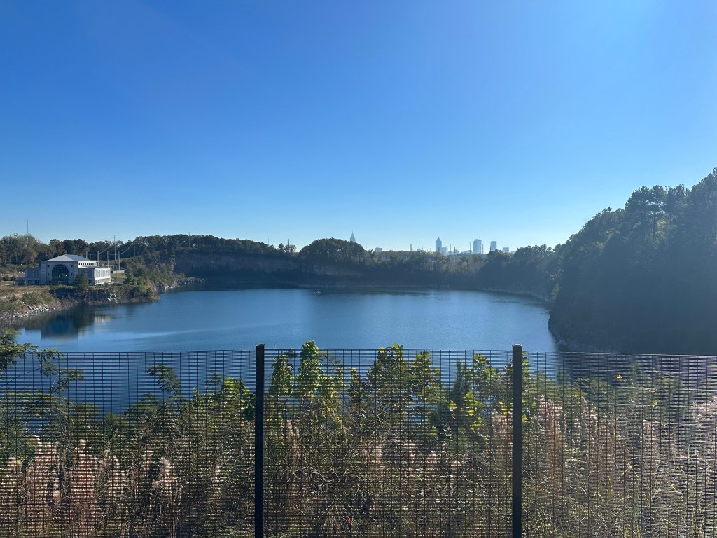
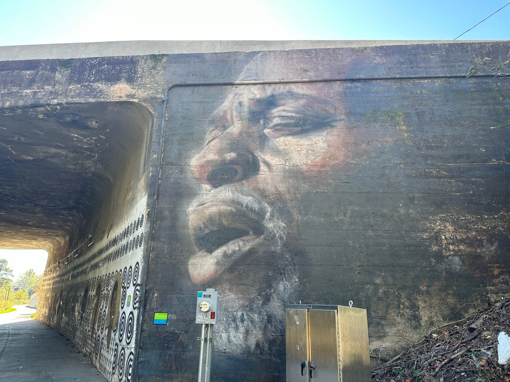
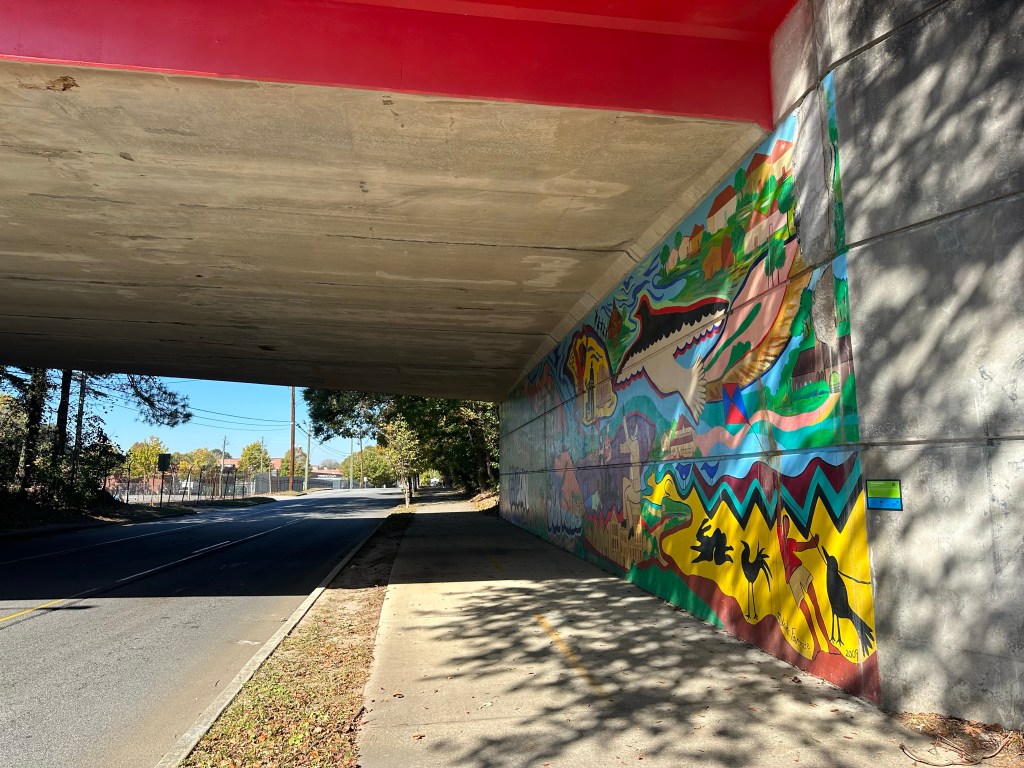
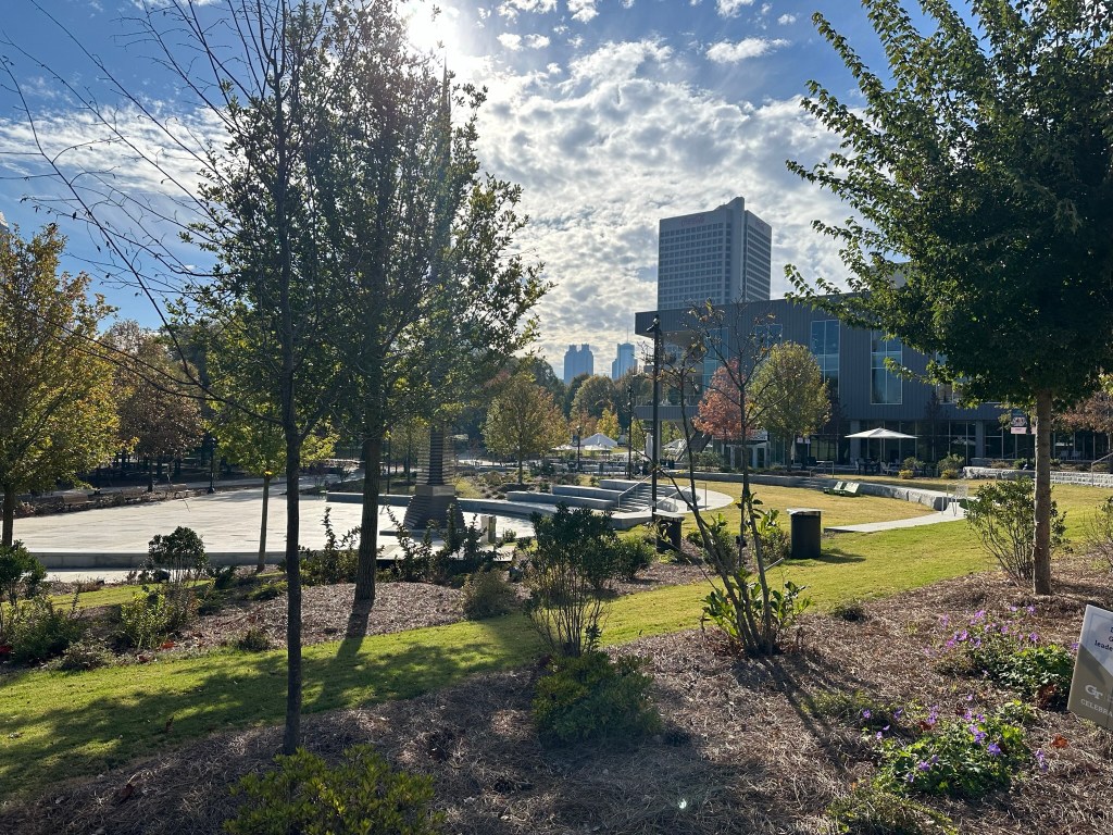
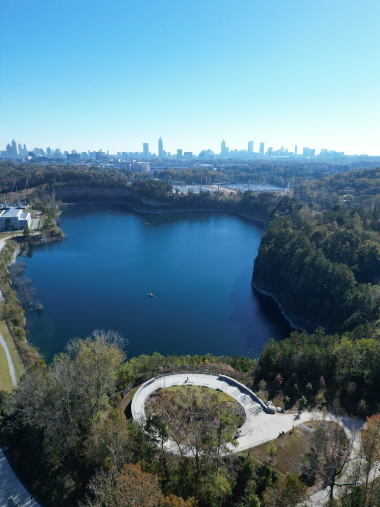
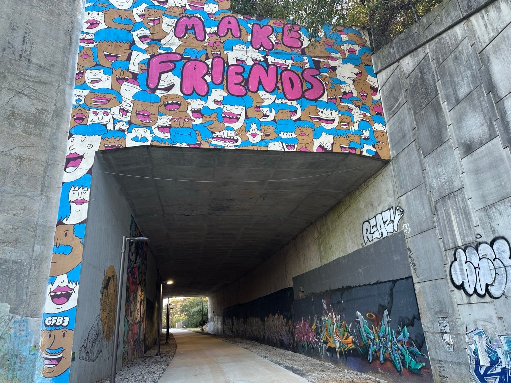
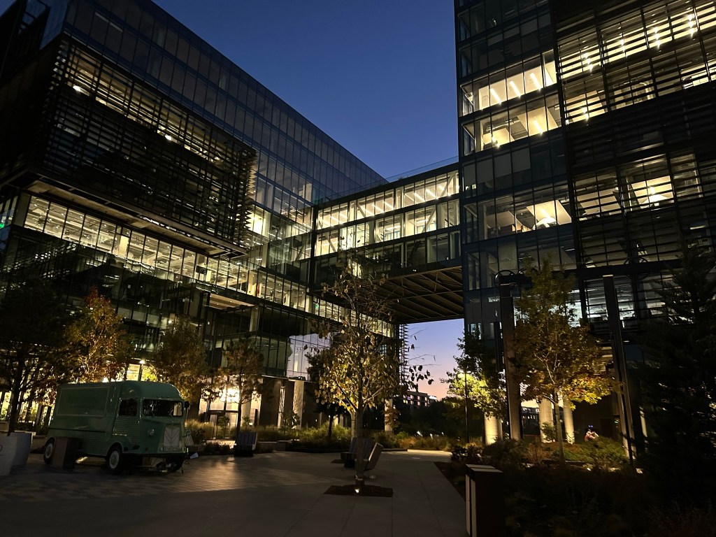
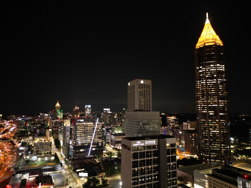
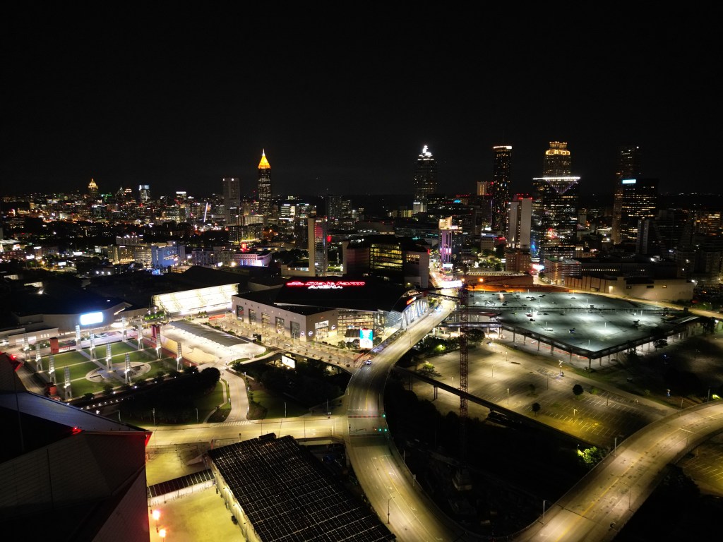
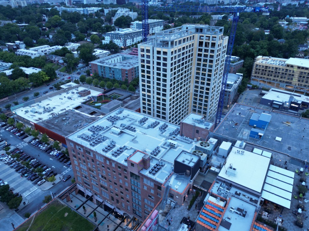
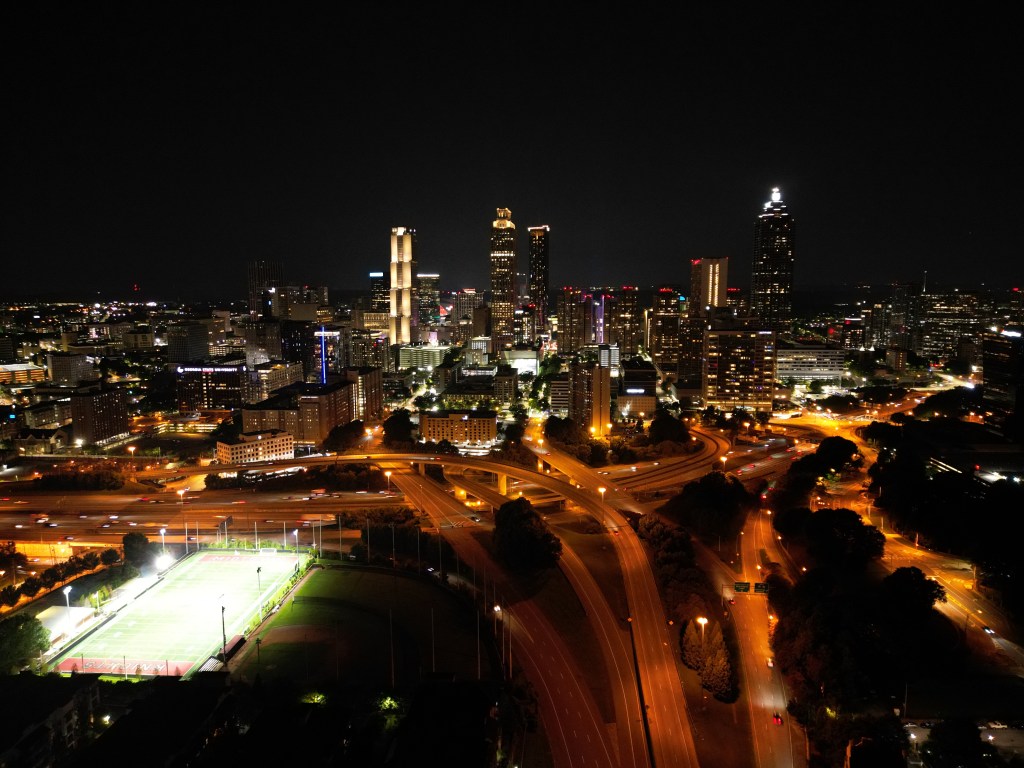
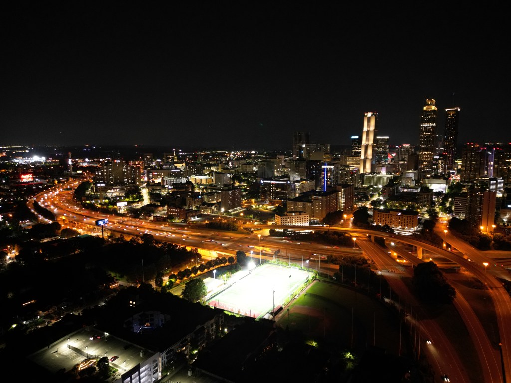
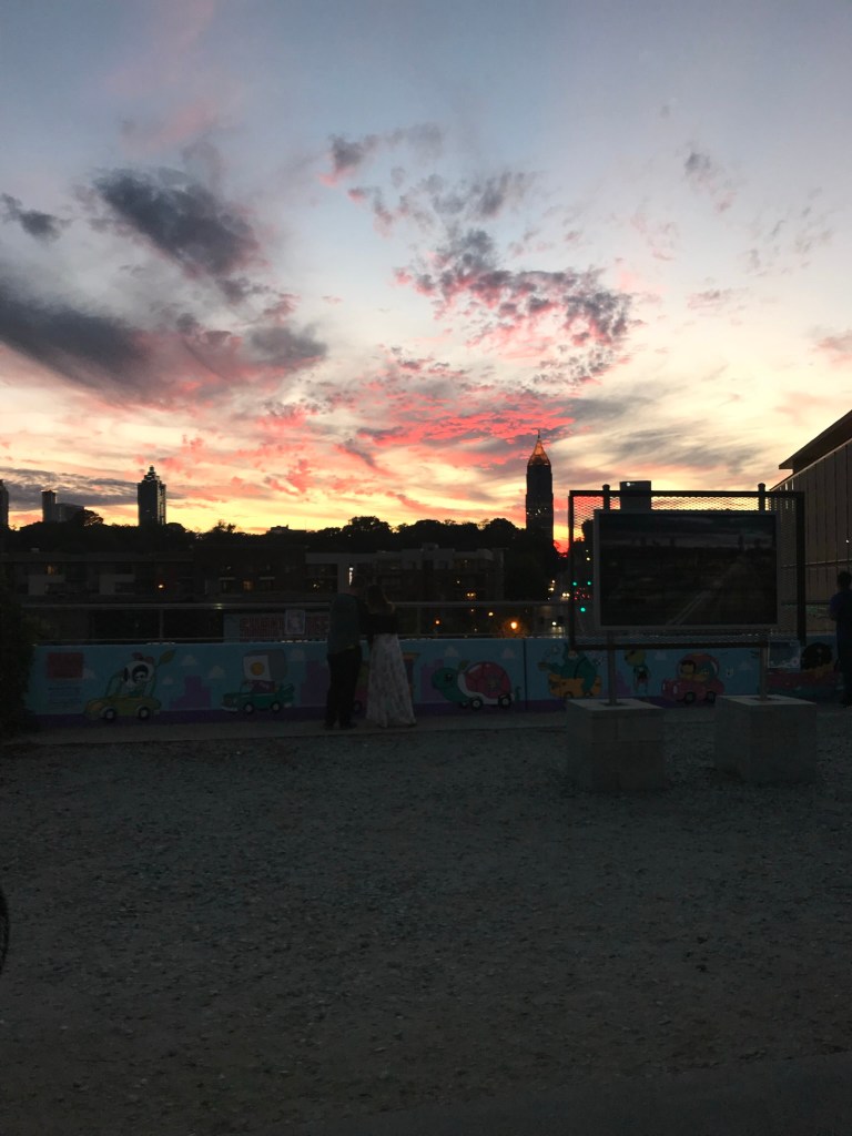
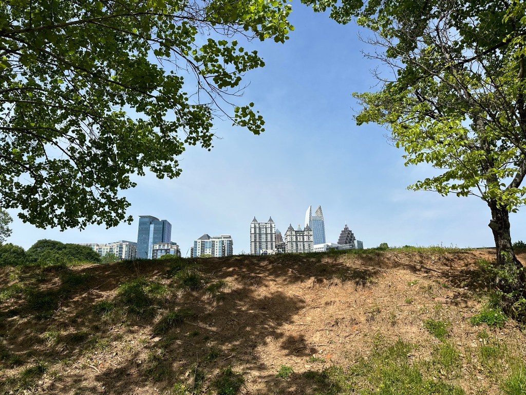
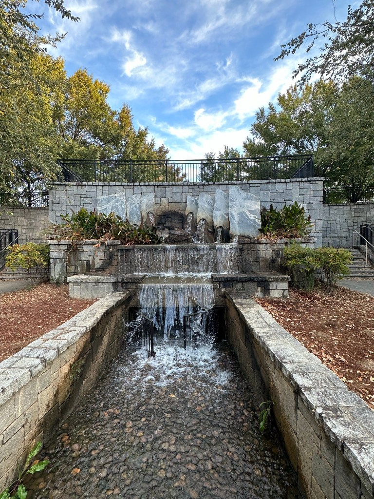
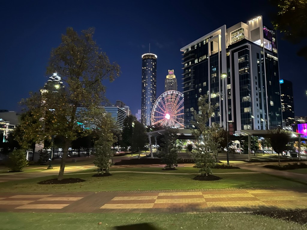
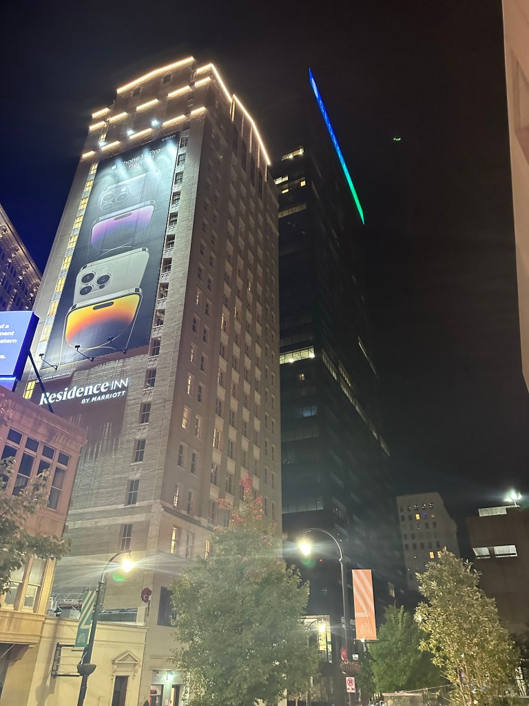
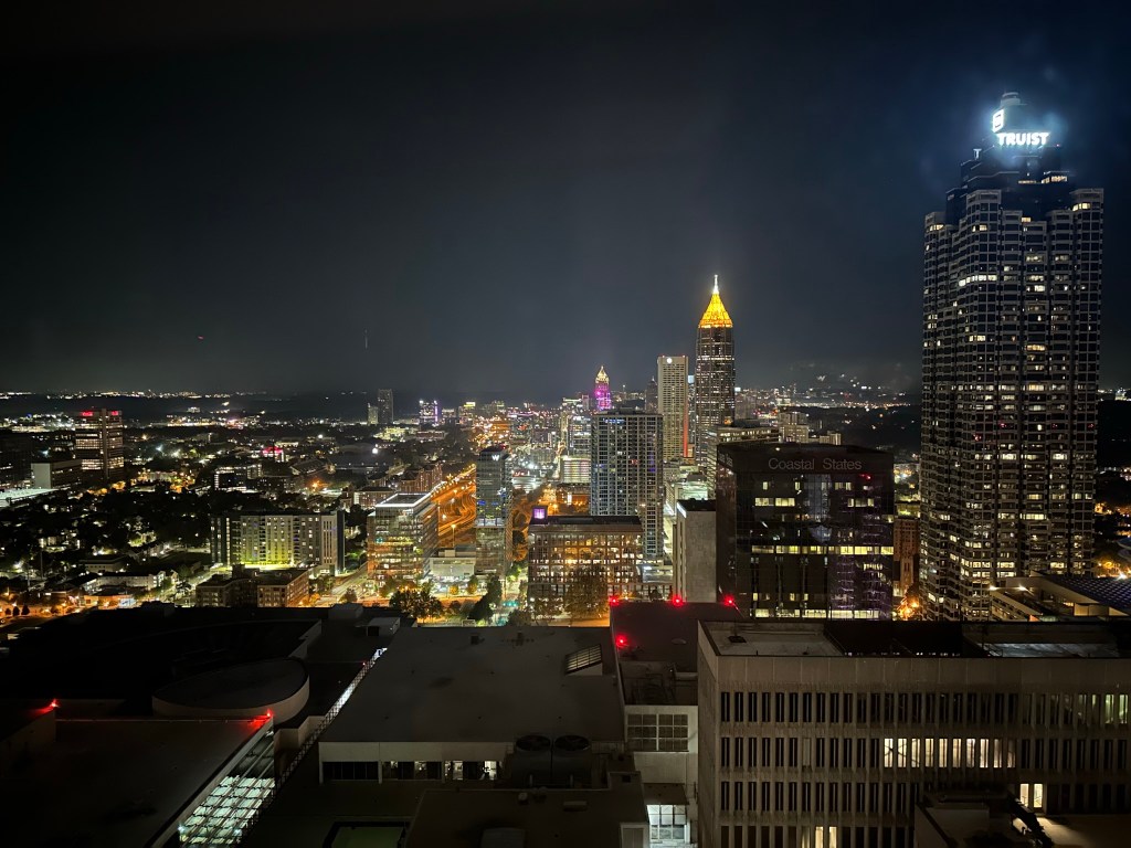
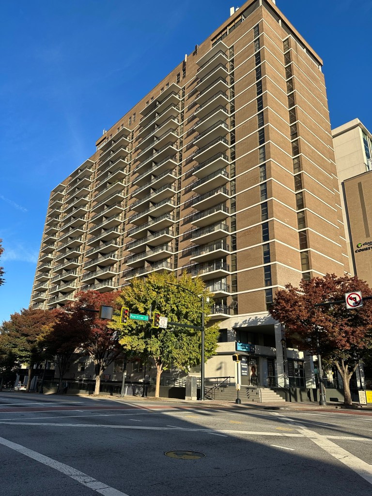
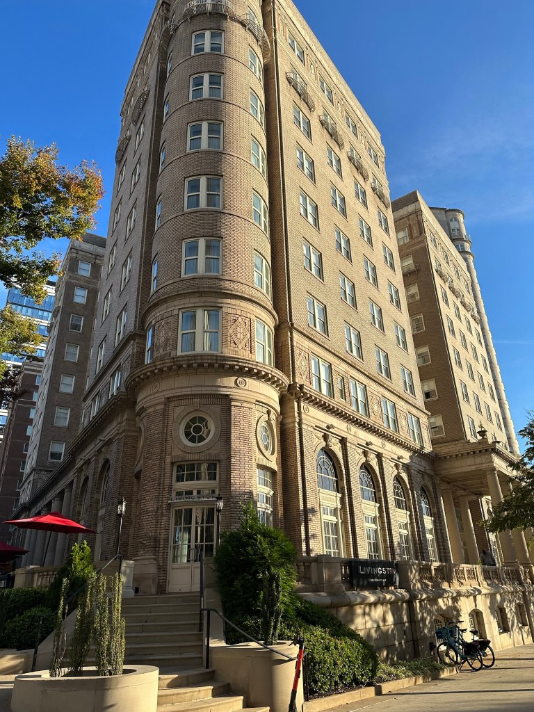
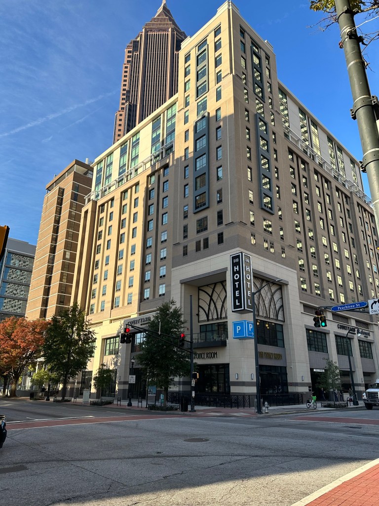
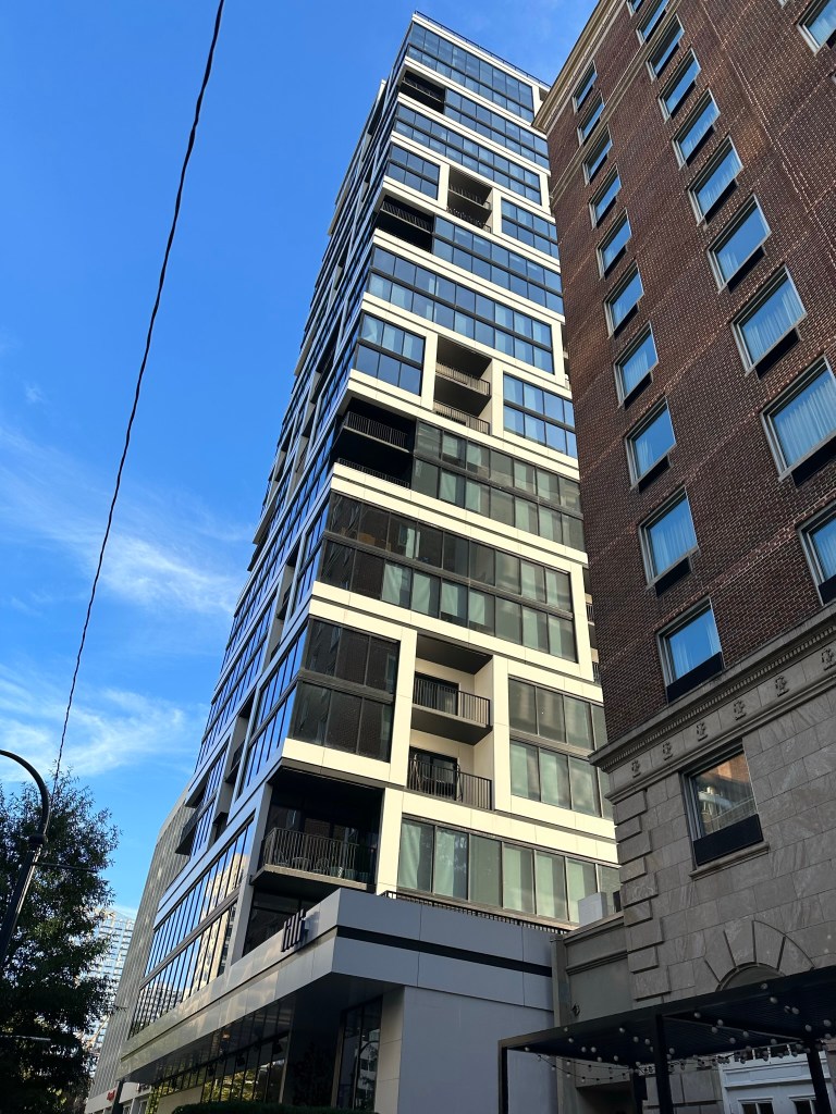
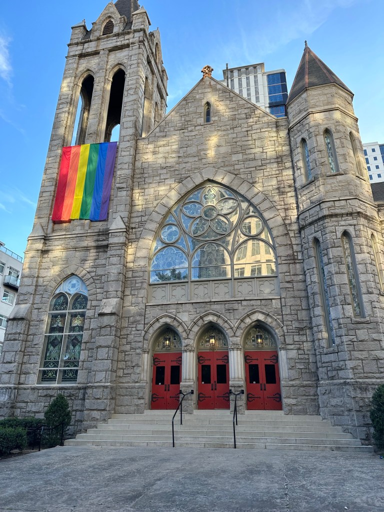
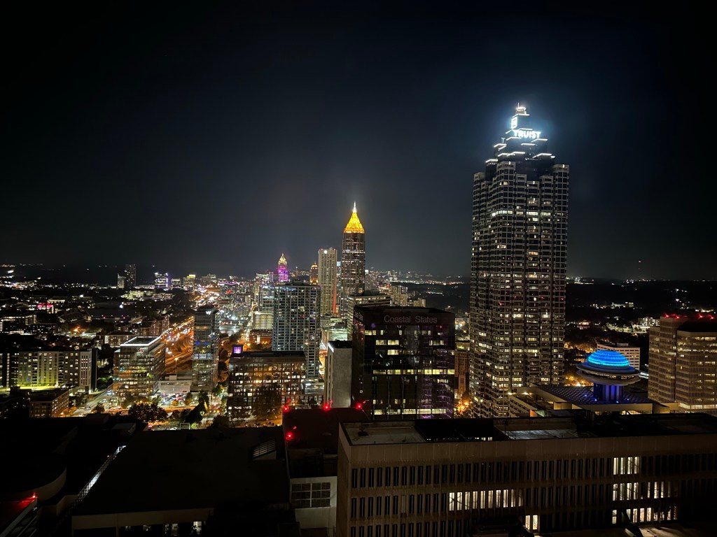
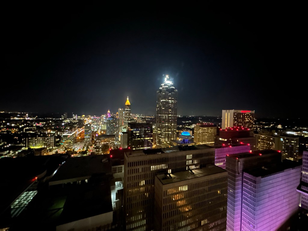
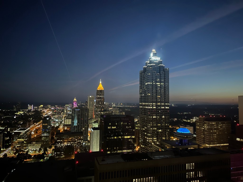
Atlanta’s own holiday is here! To celebrate check out 100s of my favorite shots of the City through the last few years. Feel free to use however you’d like but please cite Phil Veasley | @Urban_Connector. Happy 404 day, y’all!
Much more of my Atlanta content can be found here.
For drone videos of our great city, head over to my YouTube Channel
Subscribe to receive email notifications for new articles
defaultdefault
Phil Veasley is a Professional Engineer working to design safer multimodal infrastructure in cities throughout the US. My goal is to create cites that are safe and effective for all people to move about outside of cars. To achieve that we have to focus on creating equitable, dense, and vibrant cities full of walkable neighborhoods with a various mix of housing choices, schools, restaurants, and services. We cannot have safe multimodal infrastructure without the density to support it and we cannot have equitable density without safe multimodal infrastructure. Outside of designing safe streets, my passions are sketching ideas for infill neighborhoods, floor plans, urban photography, and exploring our cities on foot or bike. Please check out the menus above for all of my ideas and also check out my YouTube, Instagram, and Twitter accounts.
Opinions and insights are my own and are not representative of my employer or any organization.
The weather has been perfect! I hope you all have been able to brave the pollen and enjoy the outdoors. The Urban Connector monthly newsletter looks back on the best of the previous month as well as ways to get involved in the coming month.
Please make sure you sign up below to have these delivered straight to your inbox and follow on YouTube, Twitter, and Instagram.
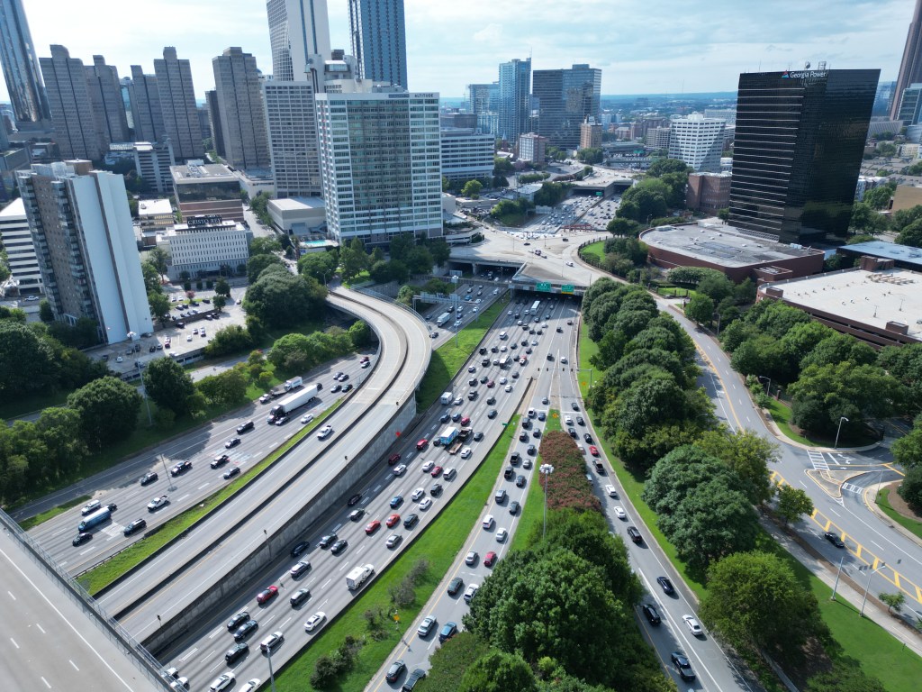
The Stitch is happening! But it’s not the only highway deserving of Reconnecting Communities grants.
“I-20 east and west of downtown are ripe for mitigation efforts” he wrote. “Selective closings of ramps, more pedestrian crossings and active bridges should be considered. It would be costly, but it would go a long way in making the city whole again and restoring equity in forgotten neighborhoods, he concluded.”
Articles featured where I’ve explored some highway mitigation or removal concepts. I hope to revisit these with a little more detail soon.
The Stitch won 157 Million Dollars in Federal Funding. It is anticipated that construction could begin by 2026. In addition to bridging the gap between Midtown and Downtown, there’s the potential to infusion a much needed amount of affordable and market rate housing into an area desperately needing residents. Even more exciting for me is the multimodal street improvements that will also come to the area. As mentioned above, there’s also a few public open houses coming up.
Atlanta Downtown Improvement District
Bike Lanes are coming to Forsyth Street! In another project that I had the opportunity to actually work on a little bit, Forsyth Street will see the addition of buffered bike lanes soon from Memorial Drive to Marietta Street. These will connect to the recently completed MLK, Memorial Drive, and Mitchell Steet facilities. Little by little, we’re reaching the point of having a really good protected network through South Downtown. Now, we just need the MLK gaps filled between Forsyth and Northside as well as East of Downtown out toward the Cemetery.
GoogleMaps
The City has released an RFQ for the first phase of the Thomasville Heights redevelopment. This first phase is a seven acre parcel which will feature affordable and market rate for-sale and rental housing.
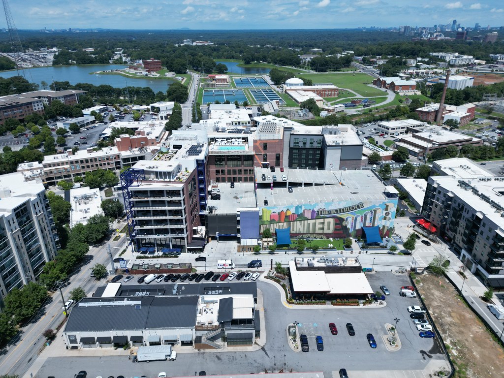
Urban Oasis Development will team with Culdesac for the key redevelopment of Murphy’s Crossing along the Beltline. The development will bring over 1000 units to the community with around 30% being reserved for residents making 60-80% AMI.
More MARTA?! In a shock, Mayor Dickens announced that four new MARTA infill stations would be constructed. There hasn’t been much more detail than that, but MARTA did quell suspicion that this would replace the Beltline rail plan. Time will tell, but infill stations is a great move for the system. Check out my version of a dream MARTA expansion I mocked up a few years back. V2 coming soon!
Downtown Raleigh Alliance Dream Big event REGISTER
4:30 PM
4/15
BPAC Meeting
6:00 PM
4/16
City Council Meeting
11:00 AM & 1:00 PM
4/23
Planning Commission
9:00 AM
Raleigh Calendar of Events
I’m sure this newsletter will evolve as time goes on. Comments or suggestions? Let me know!
Phil Veasley is a Professional Engineer working to design safer multimodal infrastructure in cities throughout the US. My goal is to create cites that are safe and effective for all people to move about outside of cars. To achieve that we have to focus on creating equitable, dense, and vibrant cities full of walkable neighborhoods with a various mix of housing choices, schools, restaurants, and services. We cannot have safe multimodal infrastructure without the density to support it and we cannot have equitable density without safe multimodal infrastructure. Outside of designing safe streets, my passions are sketching ideas for infill neighborhoods, floor plans, urban photography, and exploring our cities on foot or bike. Please check out the menus above for all of my ideas and also check out my YouTube, Instagram, and Twitter accounts.
Opinions and insights are my own and are not representative of my employer or any organization.
Subscribe to receive email notifications for new articles
A conceptual design to transform a single family lot in Raleigh to ten townhomes on just under 1/2 acre. The surrounding community features a mix of single family homes along with some apartments, and newer townhomes. Many existing modest homes are being torn down for multi-million dollar McMansions. The community also features adjacent neighborhood retail, and is walkable and bikeable to regional scaled mixed-use development.
Alternative One: A row of six rear entry townhomes facing the main road with a court of four in the rear of the lot and a small amenity area.
Alternative Two: Two sets of five townhomes with the front row facing the road. The two right end units would be oriented so the front elevation faces the side road.
Alternative Three: Two sets of five townhomes with the front row facing the road and a small amenity area.
Alternative Four: Four sets of townhomes with one oriented to maximize visibility along the corner of the lot and a small amenity area.
While not for everyone, providing housing choices and increasing density is the only way to ensure an equitable, sustainable, and affordable future in the Triangle.
For more ideas on transforming neighborhoods through infill, visit my Urban Spaces and InPhil Designs pages.
Phil Veasley is a Professional Engineer working to design safer multimodal infrastructure in cities throughout the US. My goal is to create cites that are safe and effective for all people to move about outside of cars. To achieve that we have to focus on creating equitable, dense, and vibrant cities full of walkable neighborhoods with a various mix of housing choices, schools, restaurants, and services. We cannot have safe multimodal infrastructure without the density to support it and we cannot have equitable density without safe multimodal infrastructure. Outside of designing safe streets, my passions are sketching ideas for infill neighborhoods, floor plans, urban photography, and exploring our cities on foot or bike. Please check out the menus above for all of my ideas and also check out my YouTube, Instagram, and Twitter accounts.
Opinions and insights are my own and are not representative of my employer or any organization.
The weather is warming up and the sunsets are getting later! March has arrived and it’s time to get outside. The Urban Connector monthly newsletter looks back on the best of the previous month as well as ways to get involved in the coming month. Please make sure you sign up below to have these delivered straight to your inbox and follow on YouTube, Twitter, and Instagram.
A collection of articles and ideas to transform communities by adding varied housing types.
Things to Know – Raleigh
Date
Event
Notes
3/5
City Council Meeting
1:00 PM & 7:00 PM
3/7
Raleigh Forward MeetUp – Alamo Drafthouse
7:00 PM
3/12
Planning Commission
9:00 AM
3/12
City Council Meeting
4:00 PM & 7:00 PM
3/15
District A Affordable Housing Town Hall – 4201 Green Rd
7:00 PM
3/18
BPAC Meeting
6:00 PM
3/19
City Council Meeting
1:00 PM
3/26
Planning Commission
9:00 AM
Things to Know – Atlanta
Date
Event
Notes
3/4
City Council Meeting
1:00 PM
3/11
Zoning Committee
11:00 AM
3/13
Transportation Committee
10:00 AM
3/18
City Council Meeting
1:00 PM
3/25
Zoning Committee
11:00 AM
3/27
Transportation Committee
11:00 AM
3/29
Critical Mass Ride – Woodruff Park
6:00 PM
Developments that excited me
The Downtown Raleigh Alliance has released Part 1 of the Economic Development Strategy which focuses on activating Fayetteville Street. There are some big ideas to transform North Carolina’s Main Street to transform it to somewhere people want to be!
More infill near the Southeast Beltline Trail! Toll Brothers has released initial plans for their new neighborhood in Chosewood Park which includes condos. This joins Empire’s Zephyr community, Englewood, Boulevard Park renovation, and more as developments in the area. Maybe one day the prison land can become a neighborhood too. When we look back a decade from now, this segment of Beltline adjacent neighborhoods may be more cohesive and livable than the Eastside.
US Penitentiary in SE Atlanta – GoogleMaps
This nearly all-affordable community in the West End is nearly complete.
Direct, safe bike access along Memorial Drive to and from Downtown and Reynoldstown, coming soon! I can’t wait for this one. Connected and protected facilities in and out of Downtown is high on my World Cup wish list (coming soon!)
Propel ATL – via POND design plans
The first segment of trail to link the Beltline to the Silver Comet Trail has broken ground.
Out with parking minimums near the Atlanta Beltline and No Turn on Red is no more in Downtown! Major props to Atlanta Councilmember Jason Dozier for being on the forefront of making both of these happen.
I’m sure this newsletter will evolve as time goes on. Comments or suggestions? Let me know!
Phil Veasley is a Professional Engineer working to design safer multimodal infrastructure in cities throughout the US. My goal is to create cites that are safe and effective for all people to move about outside of cars. To achieve that we have to focus on creating equitable, dense, and vibrant cities full of walkable neighborhoods with a various mix of housing choices, schools, restaurants, and services. We cannot have safe multimodal infrastructure without the density to support it and we cannot have equitable density without safe multimodal infrastructure. Outside of designing safe streets, my passions are sketching ideas for infill neighborhoods, floor plans, urban photography, and exploring our cities on foot or bike. Please check out the menus above for all of my ideas and also check out my YouTube, Instagram, and Twitter accounts.
Opinions and insights are my own and are not representative of my employer or any organization.