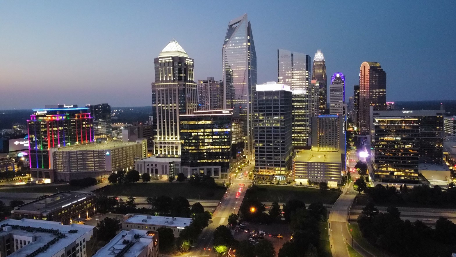
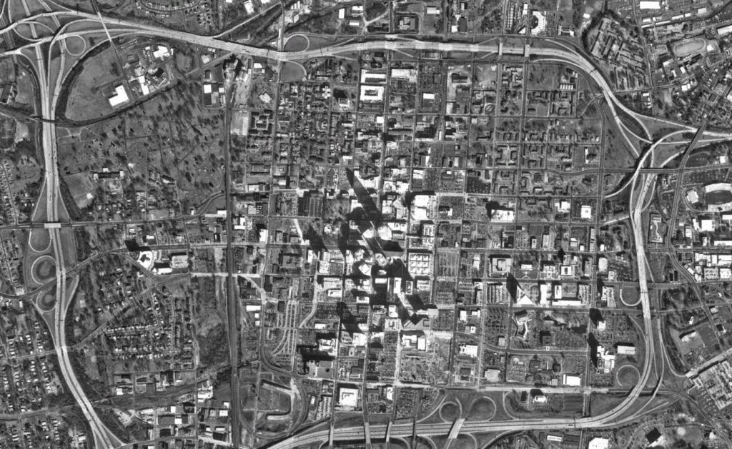
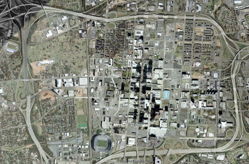
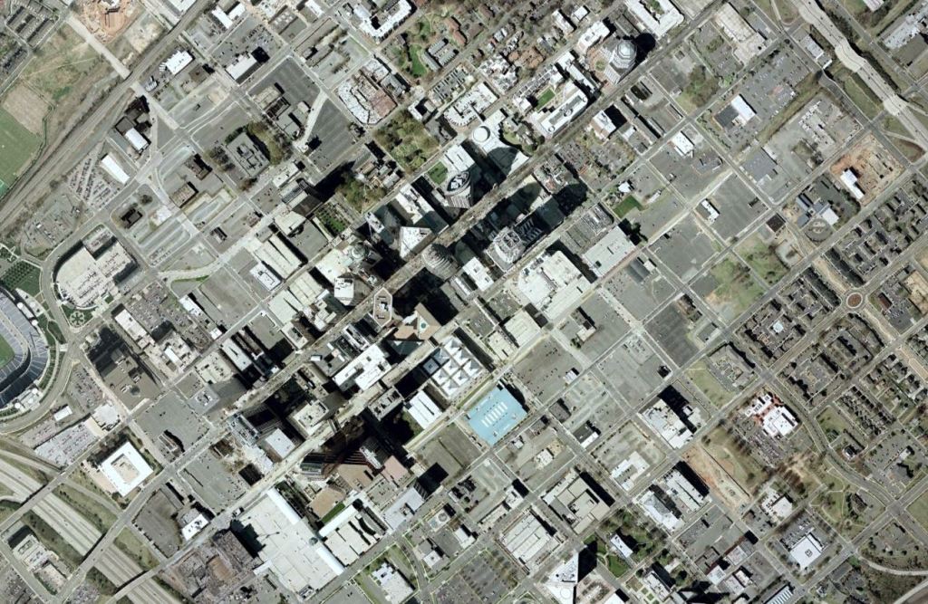
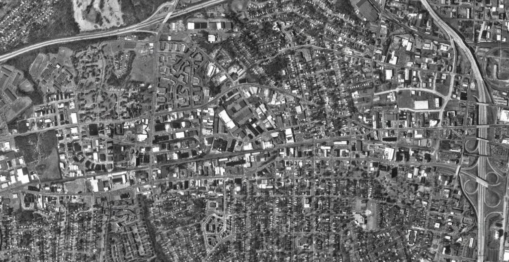
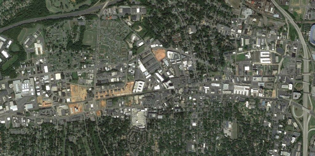
After taking a look at how the Cities of Atlanta and Raleigh have grown, we turn our attention to the Queen City. As the Charlotte continues to grow, let’s take a look back through the past 30 years via Google Earth to see just how far the City has come. Images are via GoogleEarth and are 1993, 2002, 2012, and 2023 captures with a couple of older bonus images from Brooklyn Village.
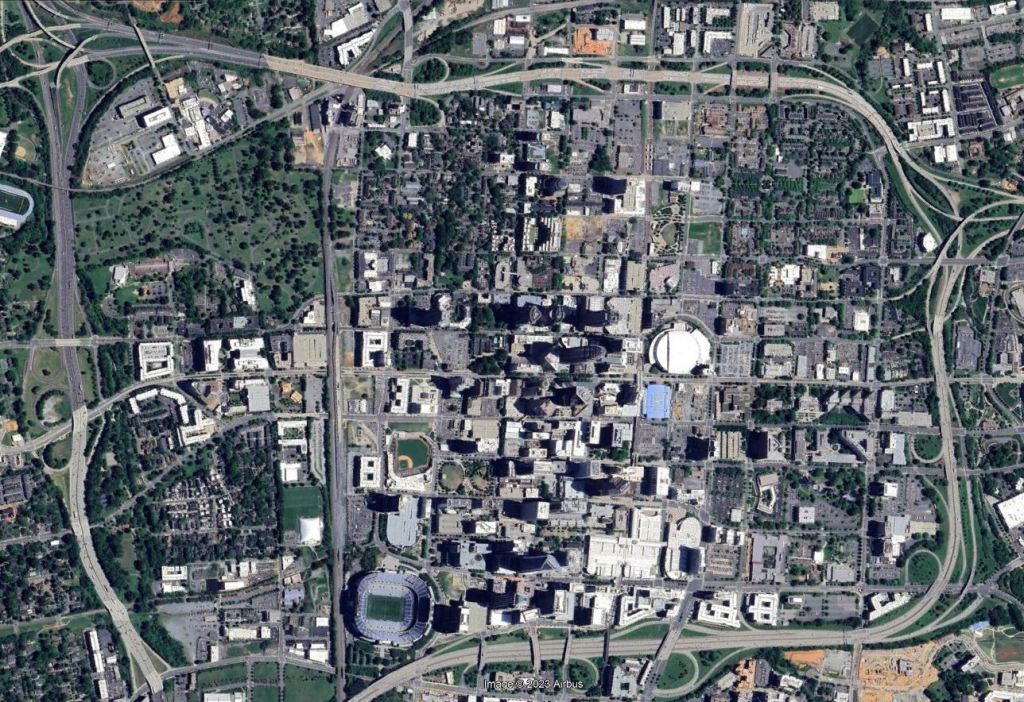
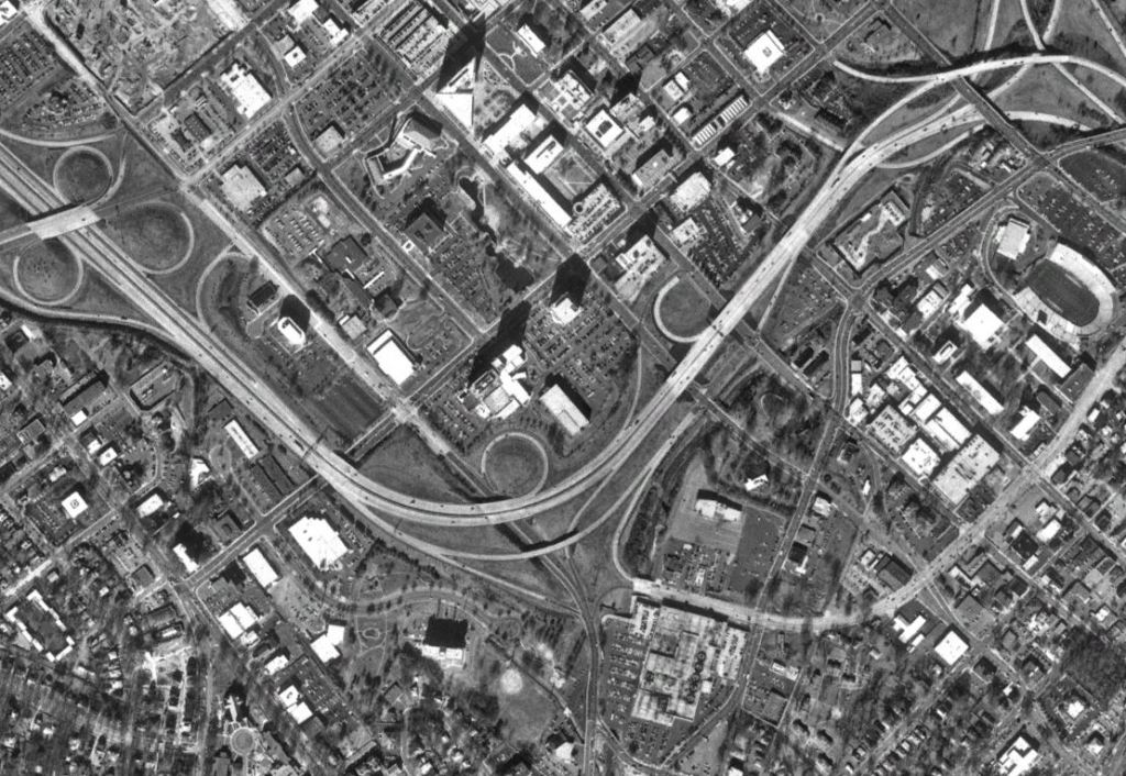
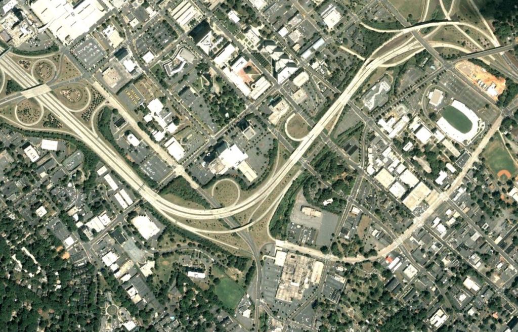
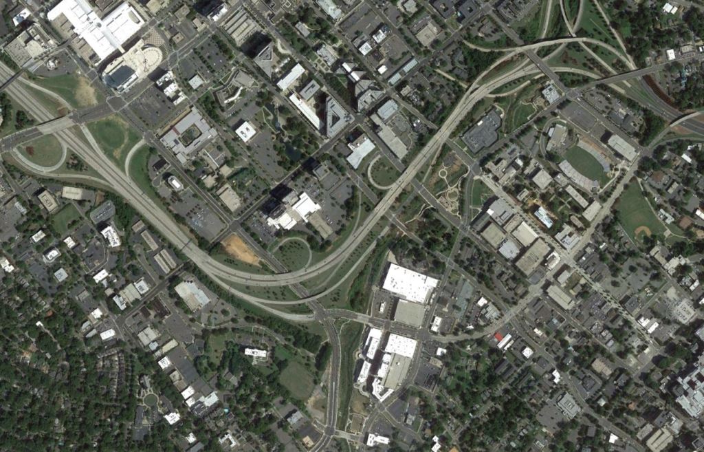
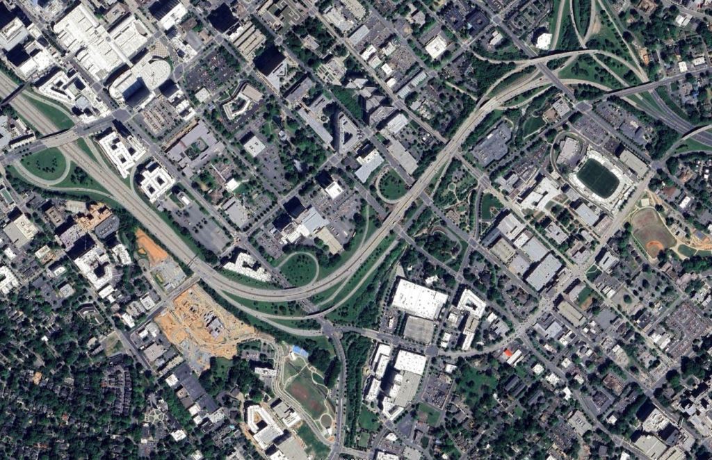
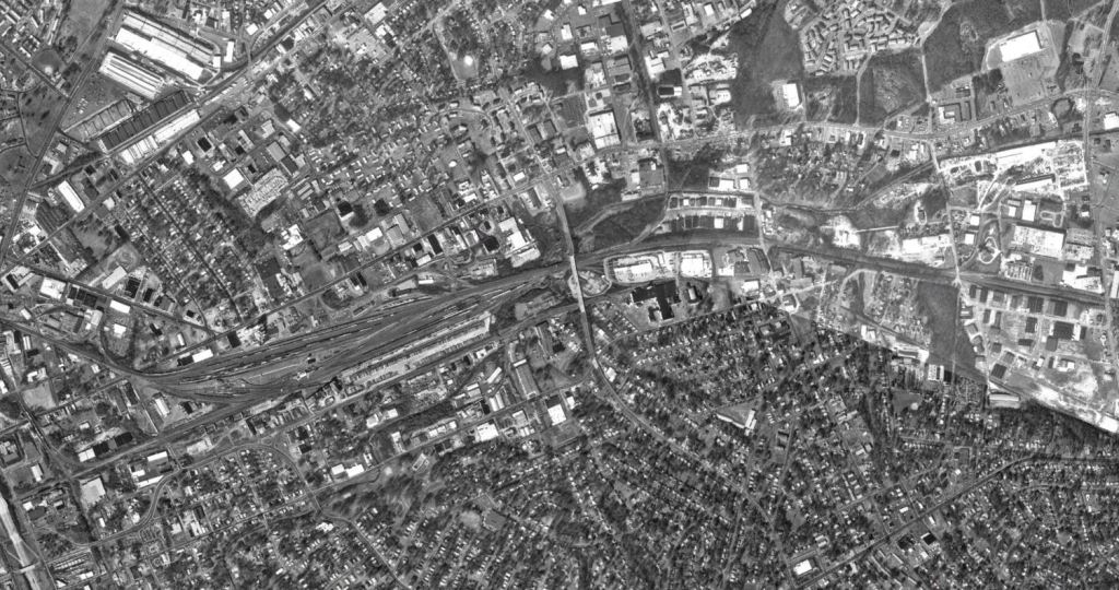
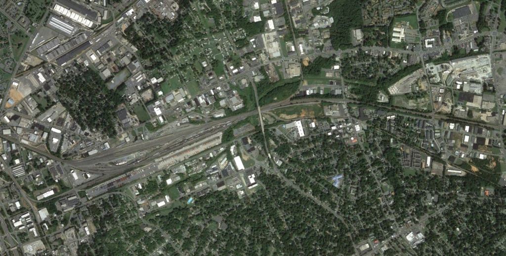
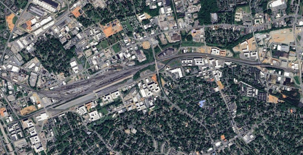
Uptown
You know those posts where they show Downtowns that are literally just a parking lot? Charlotte was that in 2002. While there’s still far too many empty surface lots it’s crazy to see how far they’ve come in the past few decades. Now if we could just do something about I-277…more on that in a moment.

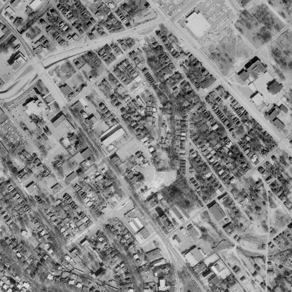
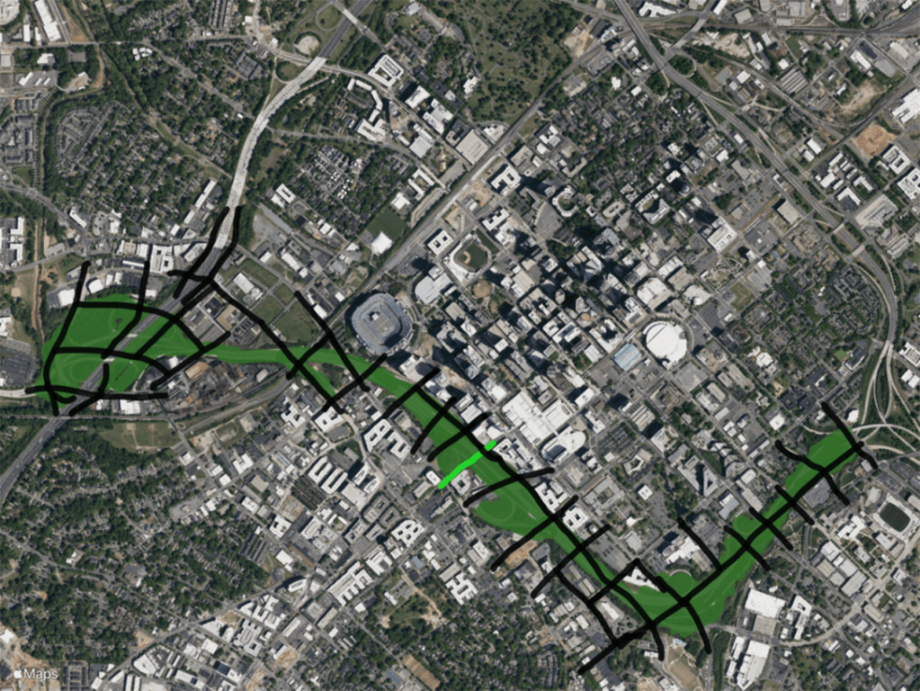
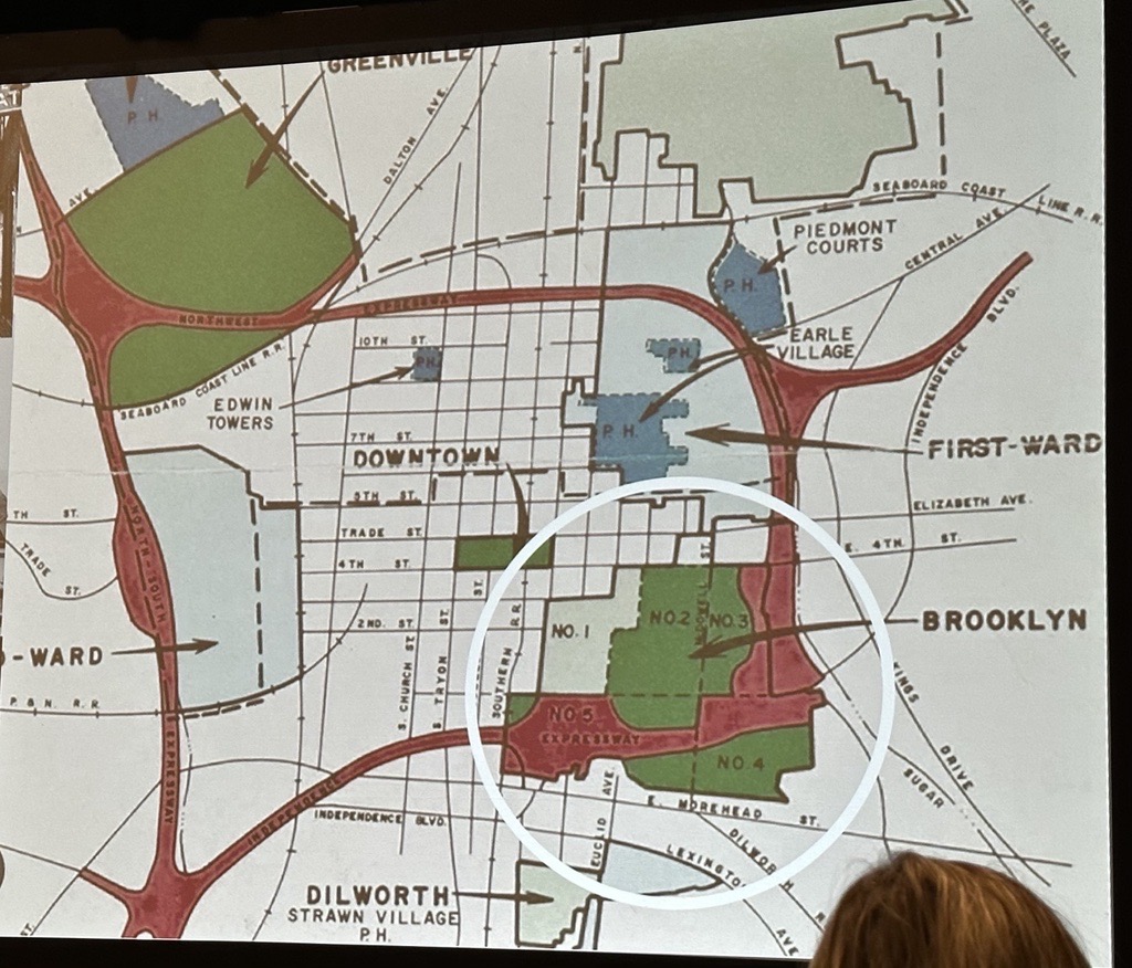
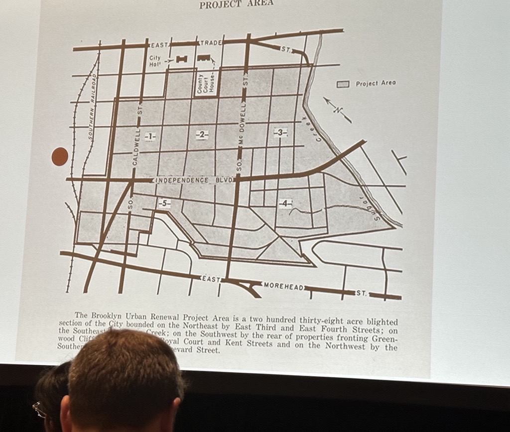
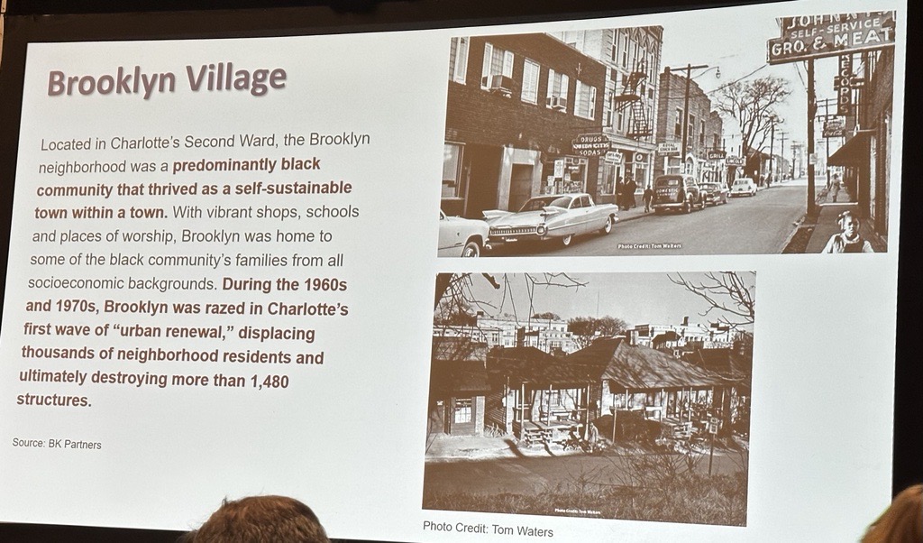
Brooklyn Village
Brooklyn Village was the epicenter of Charlotte’s Black Community until the mid 1900’s when it was bulldozed in an urban renewal effort. Then to compound things, they ran the final two sections of I-277 right through it. Hopefully one day, these redundant sections of I-277 can be removed and Brooklyn Village can somewhat be restored.
Non map images from Mitchell Silver’s and Terry Shook’s CNU 31 presentations.

South End
Most of Charlotte’s high energy areas are in South End, and for good reason. The converted warehouses, rail trail, mix of shops and restaurants, transit access and overall good vibes make it one of the most vibrant places in the South. It’s all happened very quickly. See what transit investment and proper Transit and Trail Oriented Development do.


NODA (And surrounding neighborhoods)
Another stellar example of how good TOD can transform things. 1000s of units have been added in the past few years with over 4000 in the pipeline!

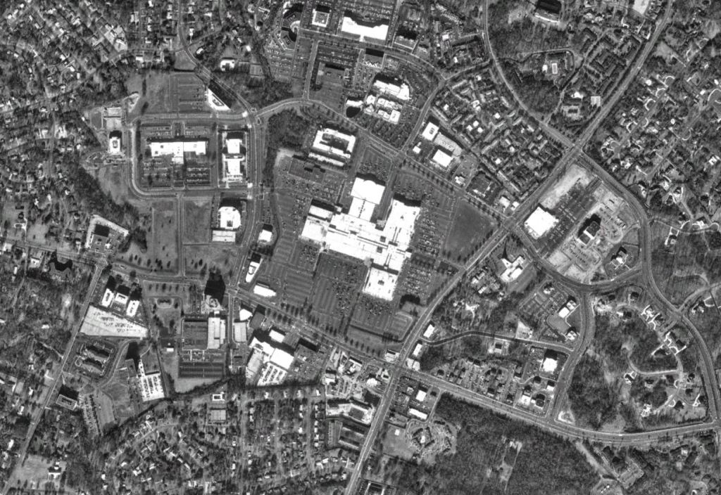
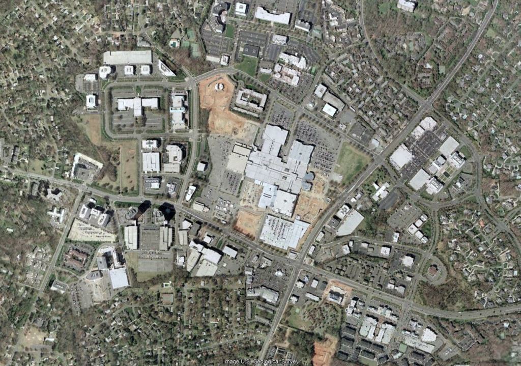
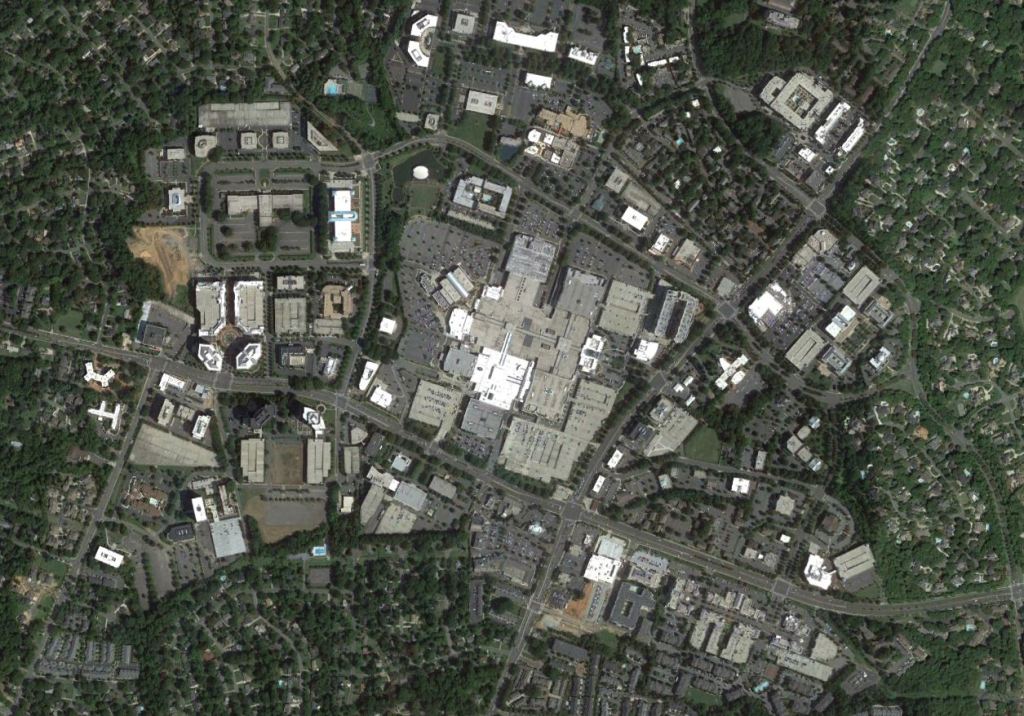
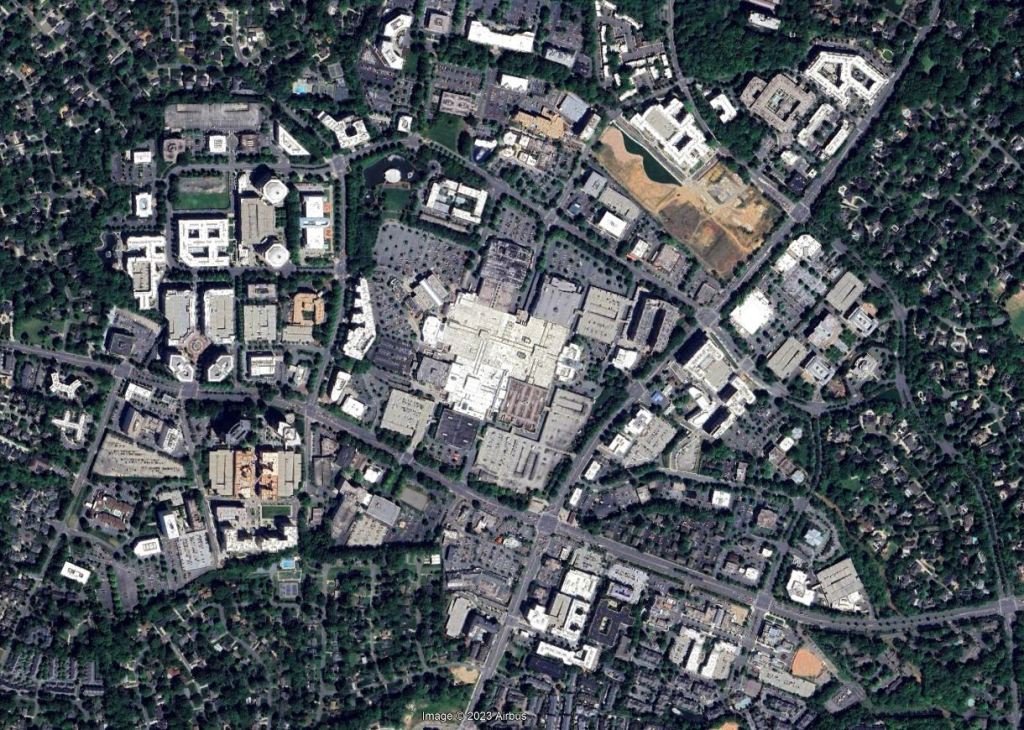
South Park
South Park has always been very interesting to me. Tons of jobs, tons of shopping, but not on Charlotte’s light rail or highway system. Also just surrounded by low density estates. That hasn’t slowed things down one bit. Maybe one day the mall can be flipped into more of an outward facing town center type concept and the street corner parcels can be something other than Fast Food and Gas Stations.
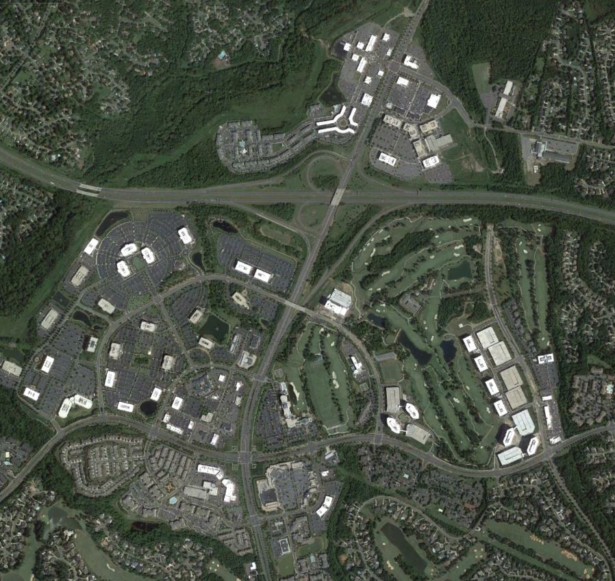
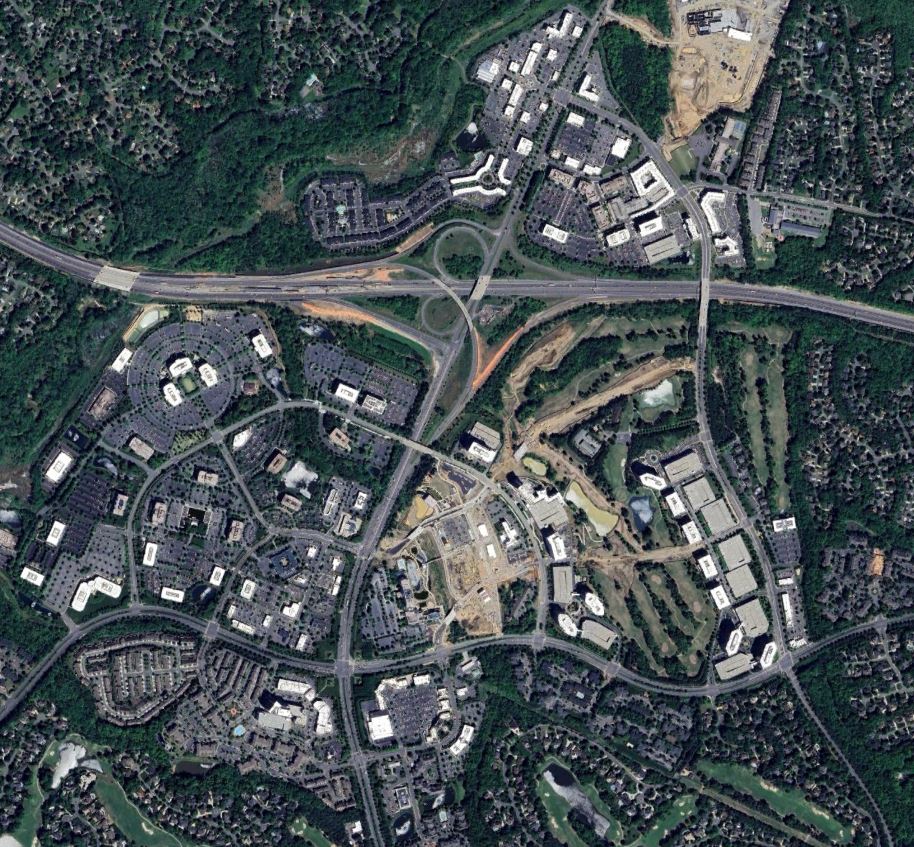
Ballantyne
This has to be the most striking one of the series so far. Look at 1993. Literally nothing! Not even I-485 was open yet. There’s a lot to be desired (look at those massive surface parking lots), but it’s a pretty cool area that’s continuing to evolve and densify. Hopefully that Blue Line extension will happen one day.


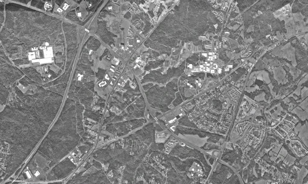
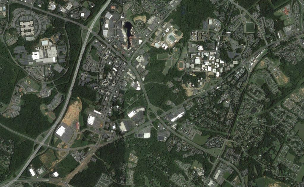
University City
Another part of Charlotte that has benefited greatly from transit investments has been the University City area. It’s transformed from a sleepy commuter suburban style school to finally having a bit of an identity and influx of commerce and housing.


Next time we’ll explore some of the explosive areas of growth Atlanta’s suburban areas.
For more photos, ideas, and insights on Charlotte visit https://philveasley.com/charlotte/
Click here for all of my articles and ideas. Through June 30th hit subscribe and you’ll be entered into a drawing to win a $50 gift card to a bike shop in your city.
Phil Veasley is a registered Professional Engineer in NC and GA. Opinions and insights are my own and are not representative of my employer or any organization. Any ideas displayed on this site are purely that – just ideas to help improve the future of the built environment and begin discussions.
