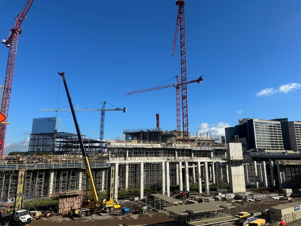
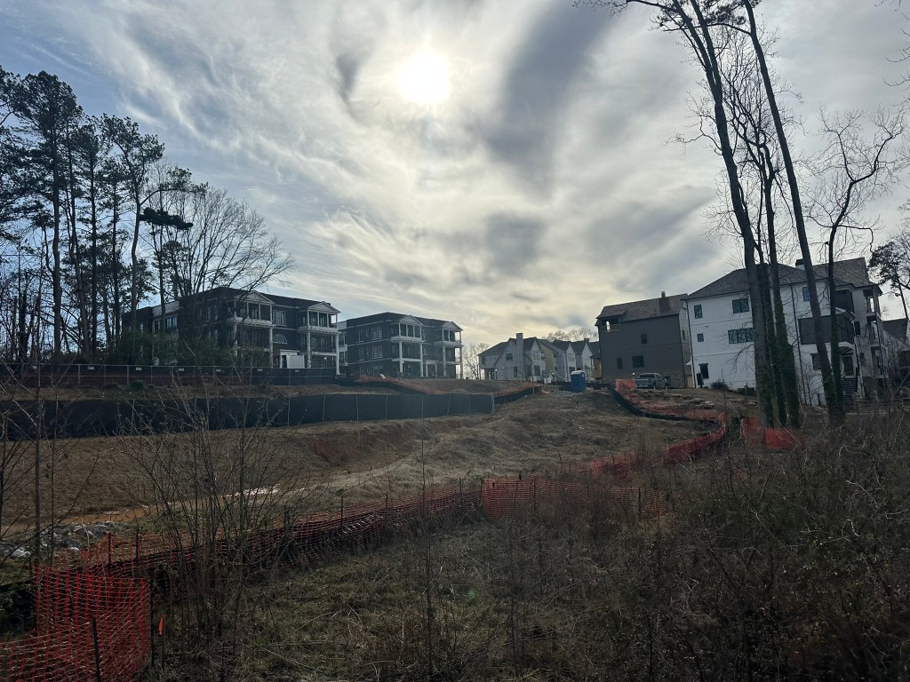
A look at construction progress on the highly anticipated South Side Trail. Officials maintain that the trail will be ready for the World Cup next June! Head to YouTube to watch!
Phil Veasley is a Professional Engineer, certified drone pilot, and CNU accredited member working to design safer multimodal infrastructure in cities throughout the US.
My goal is to create cities that are safe and effective for all people to move about outside of cars. To achieve that we have to focus on creating equitable, dense, and vibrant cities full of walkable neighborhoods with a various mix of housing choices, schools, restaurants, transit, and services. We cannot have safe multimodal infrastructure without the density to support it and we cannot have equitable density without safe multimodal infrastructure. Outside of designing safe streets, my passions are sketching ideas for infill neighborhoods, floor plans, urban photography, and exploring our cities on foot or bike. Please check out the menus above for all of my ideas and also check out my YouTube, Instagram,BlueSky Social, and Twitter accounts.
Opinions and insights are my own and are not representative of my employer or any organization.
August is here, school is back, and the weather somehow thinks it’s November!
The Urban Connector monthly newsletter looks back on the best of the previous month as well as ways to get involved in the coming month. Please make sure you sign up below to have these delivered straight to your inbox and follow on YouTube,Twitter,BlueSky Social, and Instagram.
Urban Thoughts: Too small for an article, too big to miss
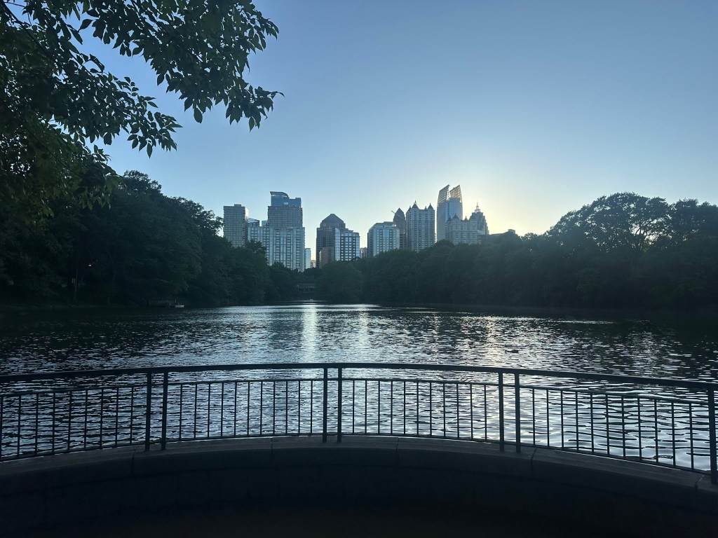
BeltLine Rain
Ever been on the BeltLine on a rainy day? Outside of a few brave runners, it’s a ghost town! This is one of my main confusions about people who say we don’t need rail. Rail would give users of all ages and abilities access to the greatness of the corridor during all weather. Another thing I’m curious about is how much less money all those business owners who somehow think rail would kill their business make on these rainy days.
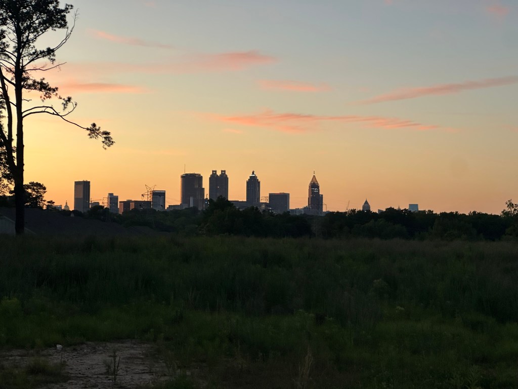
Atlanta Shrinking?!
An article is getting a lot of attention the last few weeks about Atlanta’s growth streak being over. Many are running with it and making some very hot (BAD) takes. Let’s slow down though – it’s one year of data. If it was really just due to affordability, traffic, lack of transit, and sprawl, then every single Sun Belt city would be shrinking too. One could say we’re actually set up better on a few of those fronts than our peers. I’m going to chalk it up to a one-year blip. If there was a clear trend, or if it continues next year, then we’ll talk. Until then, relax. PS, we’re not full – not even close.
Park Size
Size is overrated when it comes to parks. We constantly point to the size of S.C. Franklin Park (Westside Park) but fail to mention how disconnected from residential neighborhoods and how desolate it can feel. I much prefer some of our great neighborhood parks like Lang-Carson in Reynoldstown. To each their own though!
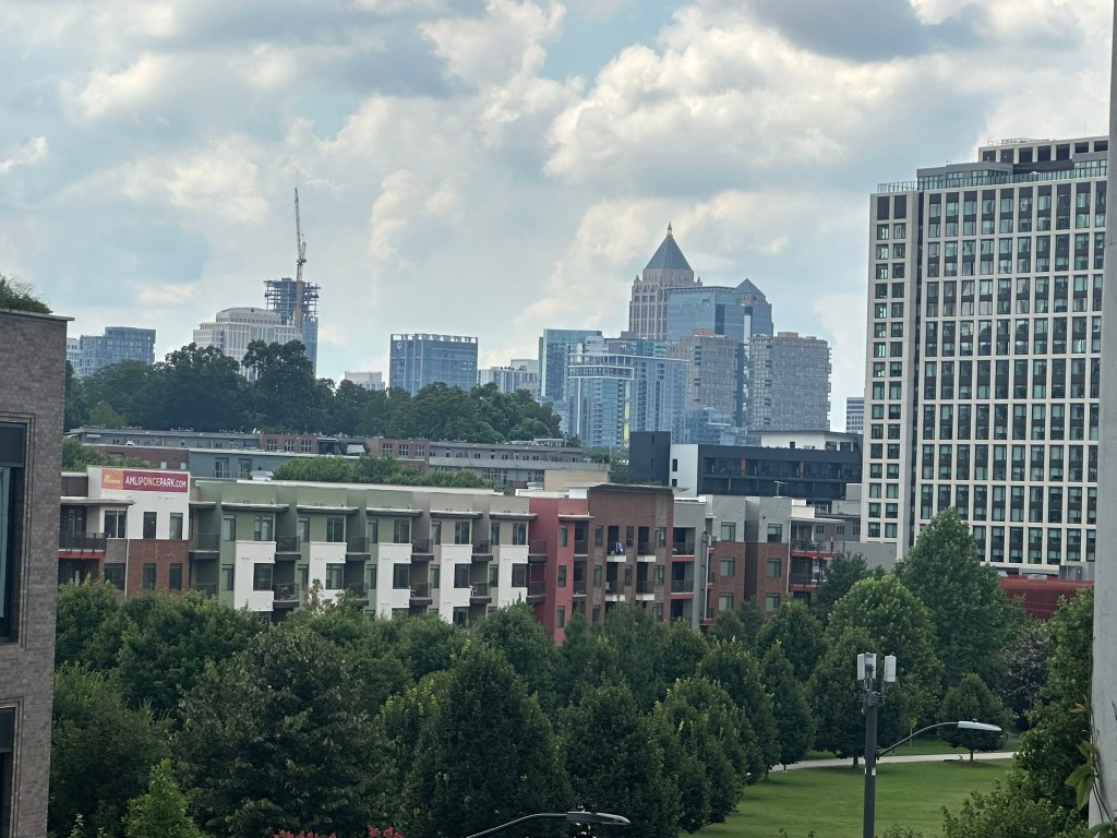
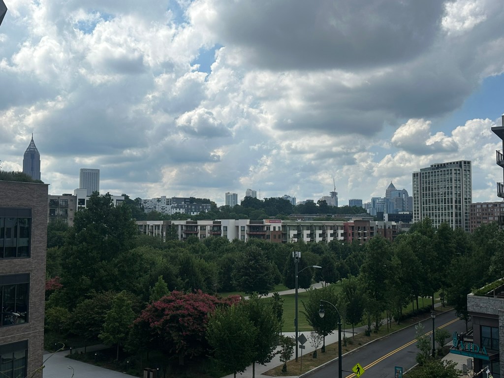
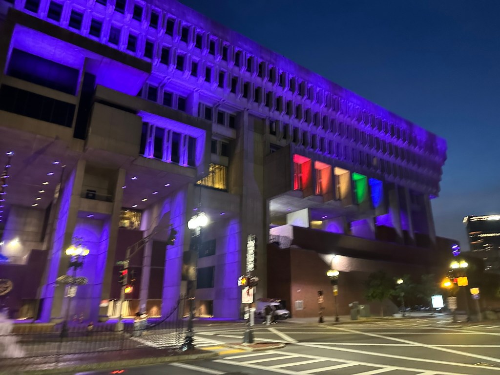
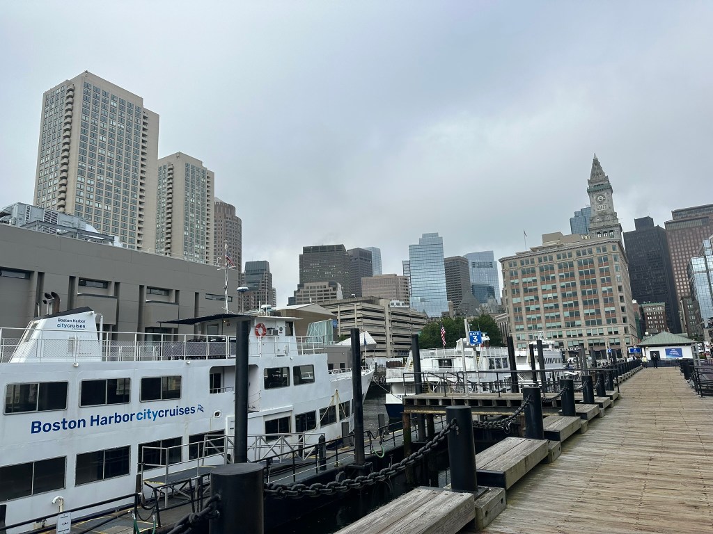
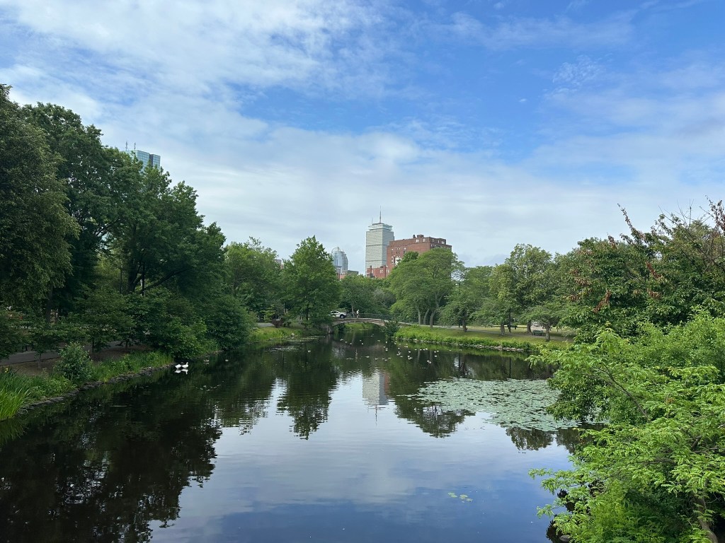
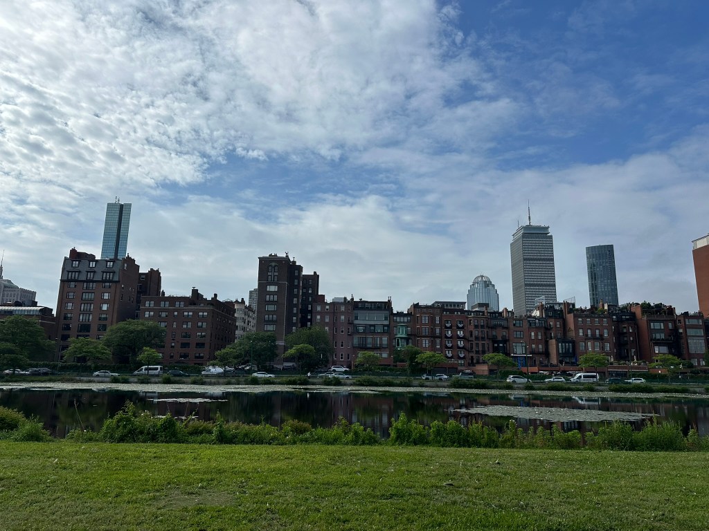
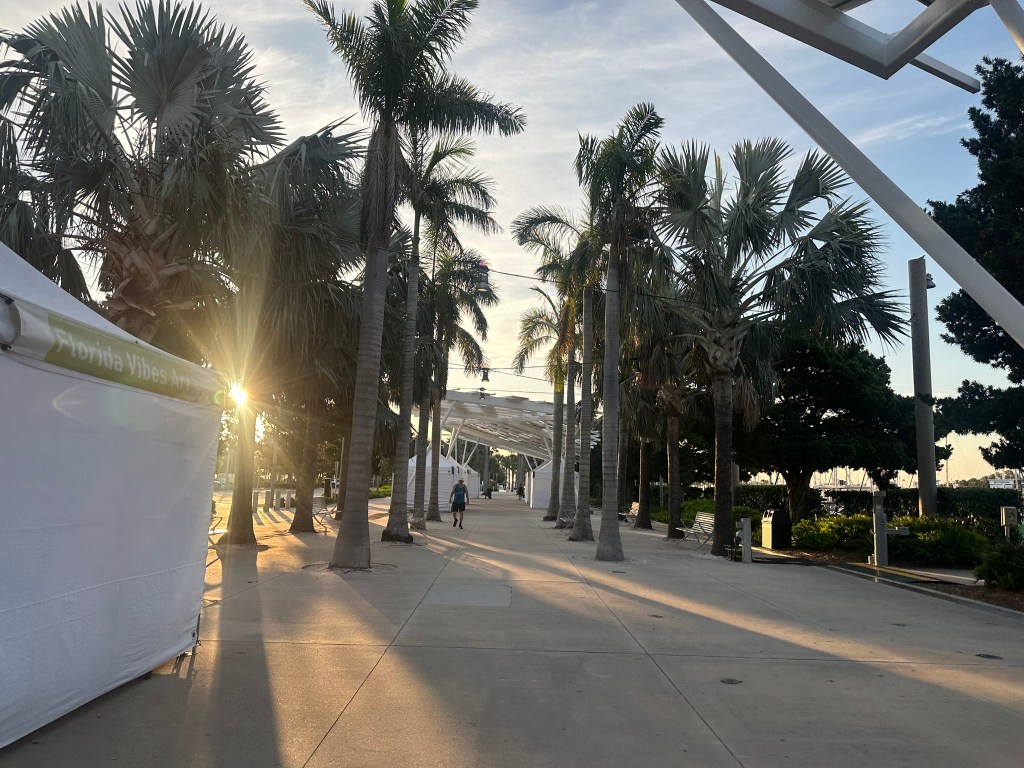
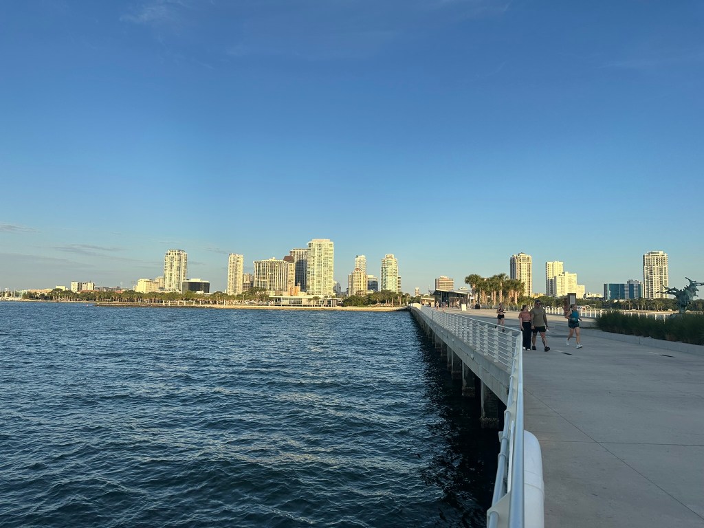
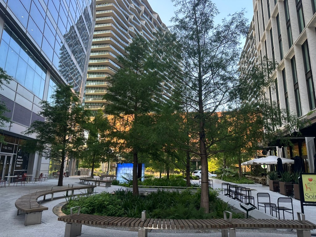
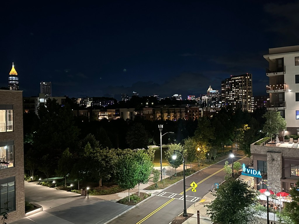
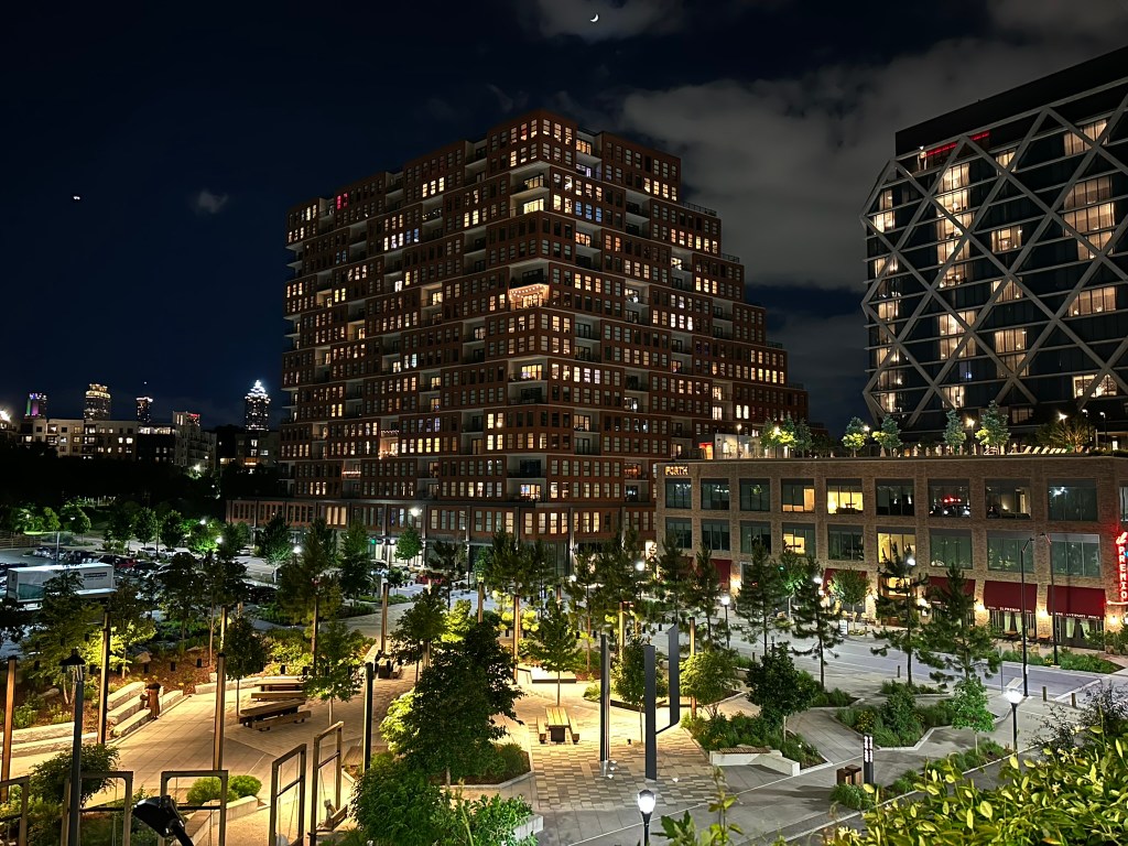
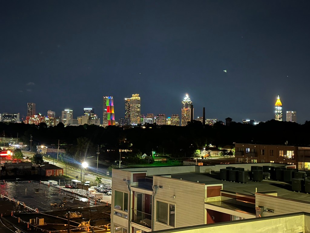
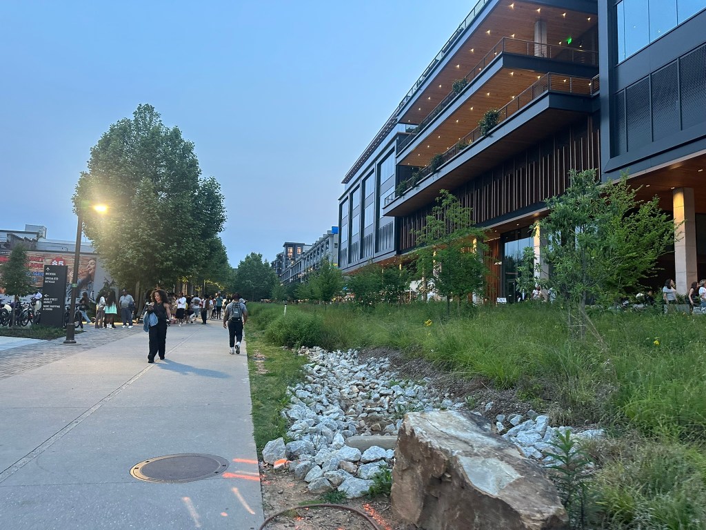
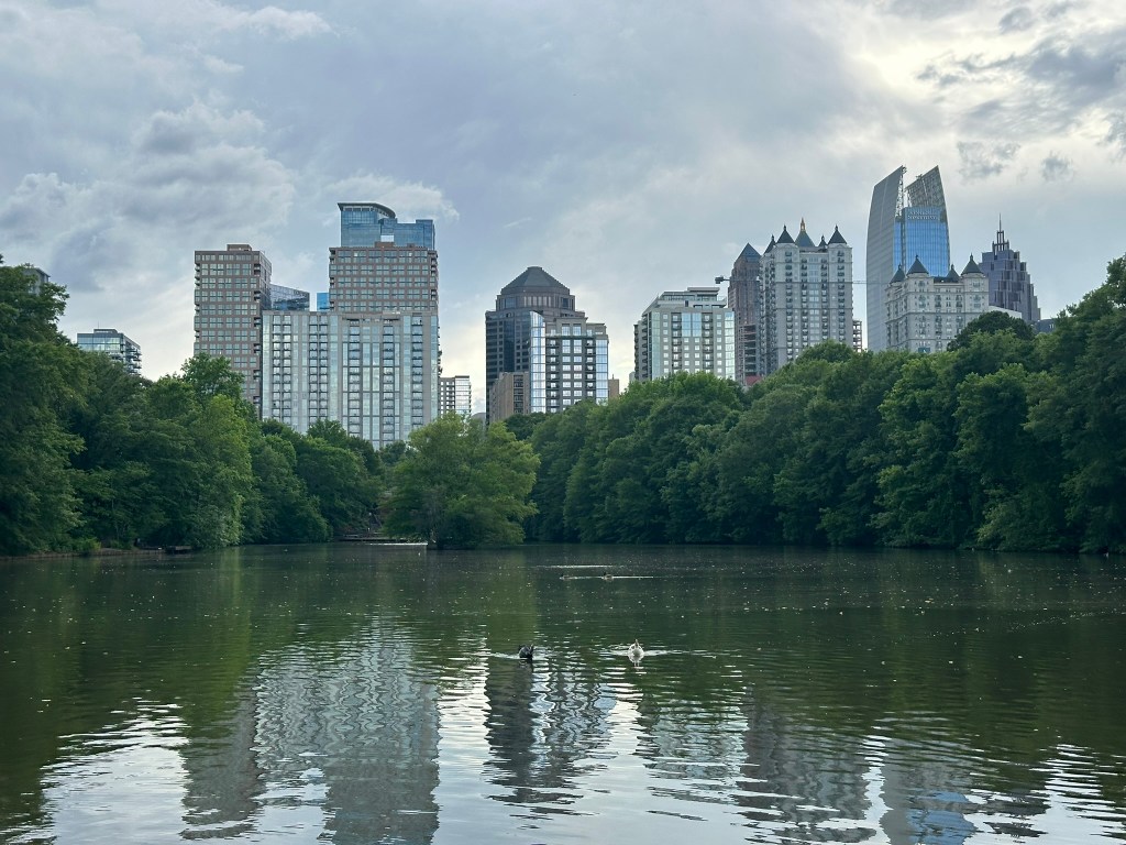
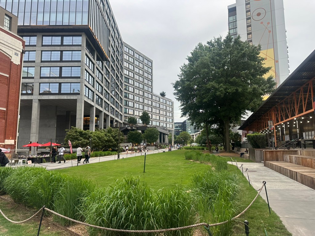
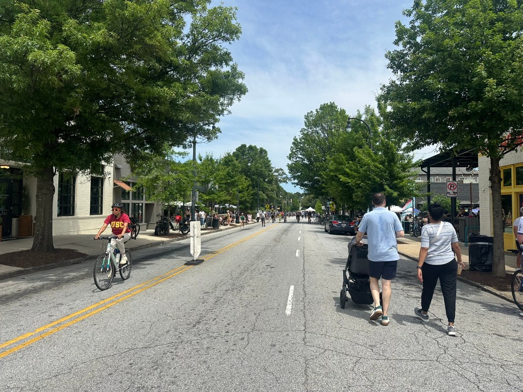
Photos of the Month
Developments that Excited Me
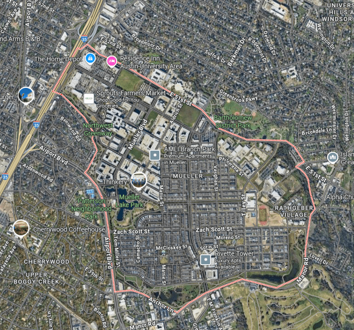
Tyler Perry Entertianment District – I’ll believe it when I see it, but if it does happen it’ll be so much better than what’s there now. I still can’t help but think of how much we fumbled an opportunity for this to be a truly special redevelopment site like Baldwin Park in Orlando, Mueller in Austin, Stapleton in Denver or other airfield / base sites.
GoogleMaps
The Center – I think this one is flying under the radar a bit in terms of impact it’ll have.
Georgia Tech: Multimodal Capital of the South – Georgia Tech’s campus continues to serve as a shining example of how great street design can be. I’ll definitely be planning another full ride-through again soon. ICYMI, check out my ride along from when things were still in-progress a few months ago.
I’m sure this newsletter will evolve as time goes on. Comments or suggestions? Let me know!
Phil Veasley is a Professional Engineer and CNU-Accredited Professional member working to design safer multimodal infrastructure in cities throughout the US.
My goal is to create cities that are safe and effective for all people to move about outside of cars. To achieve that we have to focus on creating equitable, dense, and vibrant cities full of walkable neighborhoods with a various mix of housing choices, schools, restaurants, and services. We cannot have safe multimodal infrastructure without the density to support it and we cannot have equitable density without safe multimodal infrastructure. Outside of designing safe streets, my passions are sketching ideas for infill neighborhoods, floor plans, urban photography, and exploring our cities on foot or bike. Please check out the menus above for all of my ideas and also check out my YouTube, Instagram,BlueSky Social, and Twitter accounts.
Opinions and insights are my own and are not representative of my employer or any organization.
Phil Veasley is a Professional Engineer and CNU accredited member working to design safer multimodal infrastructure in cities throughout the US.
My goal is to create cities that are safe and effective for all people to move about outside of cars. To achieve that we have to focus on creating equitable, dense, and vibrant cities full of walkable neighborhoods with a various mix of housing choices, schools, restaurants, transit, and services. We cannot have safe multimodal infrastructure without the density to support it and we cannot have equitable density without safe multimodal infrastructure. Outside of designing safe streets, my passions are sketching ideas for infill neighborhoods, floor plans, urban photography, and exploring our cities on foot or bike. Please check out the menus above for all of my ideas and also check out my YouTube, Instagram,BlueSky Social, and Twitter accounts.
Opinions and insights are my own and are not representative of my employer or any organization.
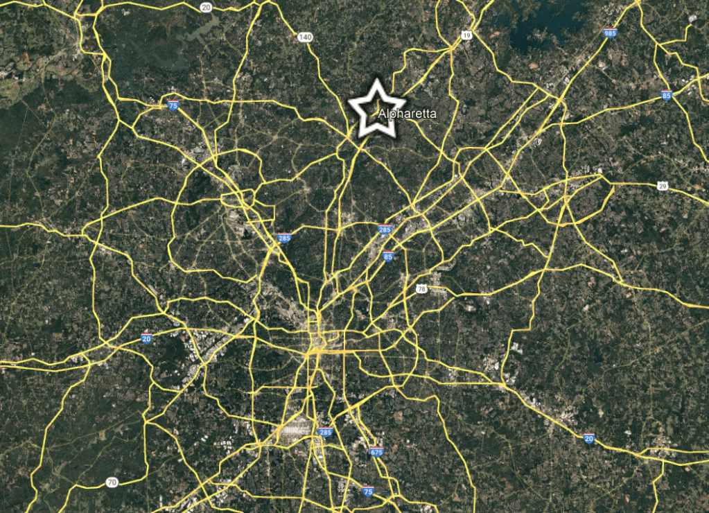
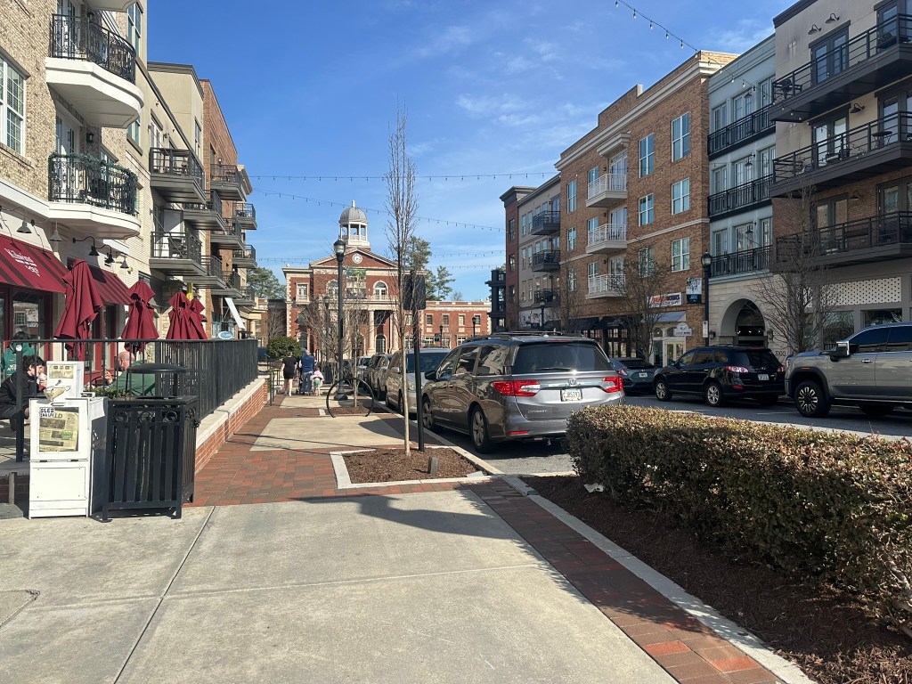
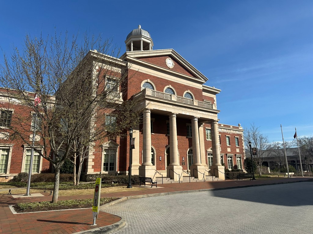
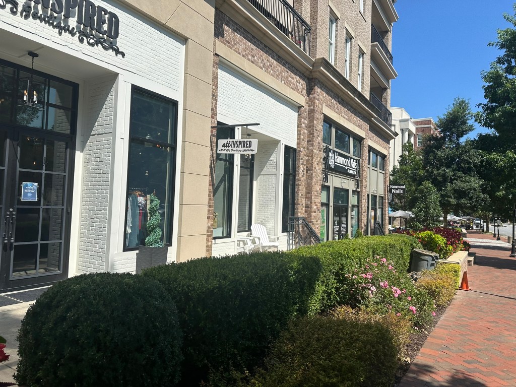
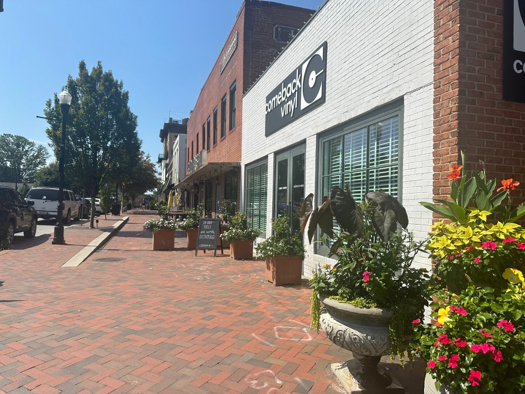
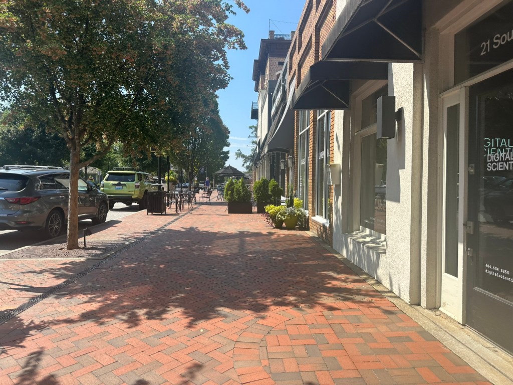
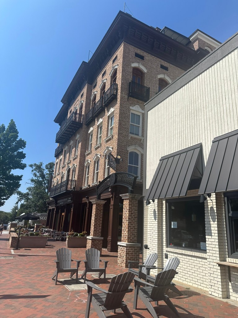
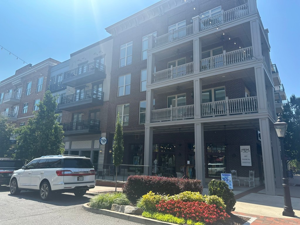
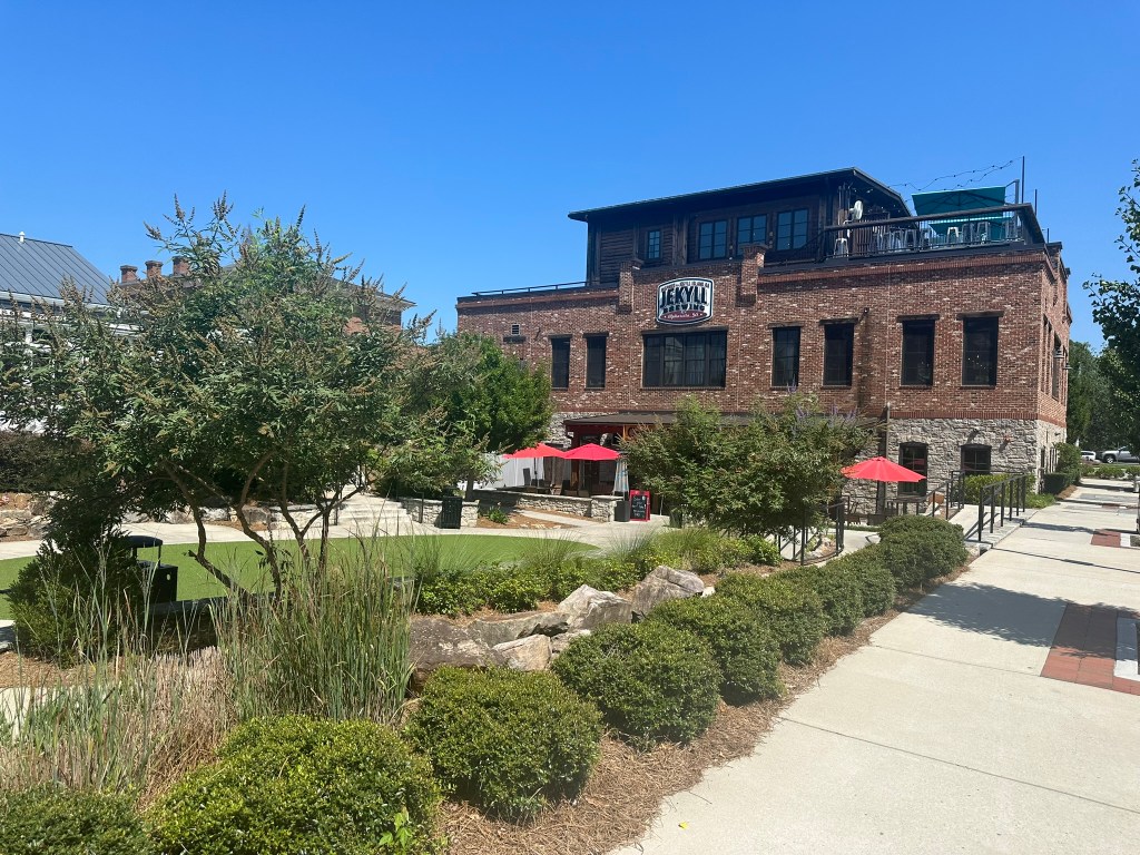
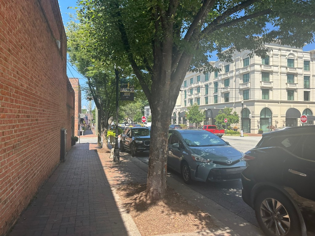
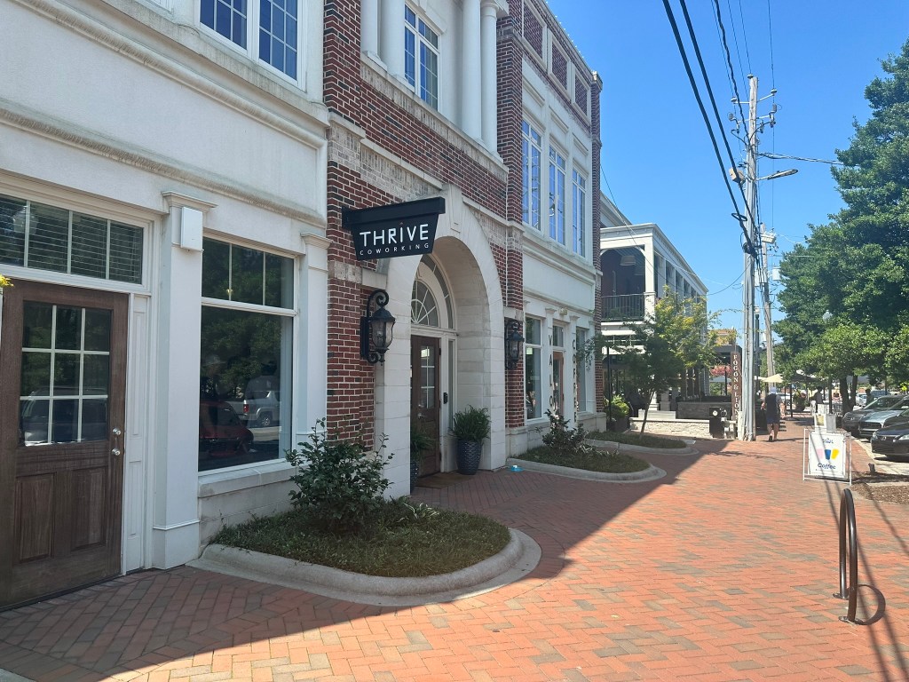
Continuing the Suburban Spotlight series after a long break with a look at Alpharetta. But first, take a look back at the earlier installments of the series.
Alpharetta sits about 25 miles North of Downtown Atlanta along GA-400. The vast majority of workers endure long commute times. However, a few bus routes connect to the North Springs station. Despite early talks of extending the Red Line up to Windward Pkwy in the mid-2000’s, those plans were never serious and have shifted to potential BRT service which will run in-line GA 400’s 9 Billion Dollar Express Lanes system.
Google Earth
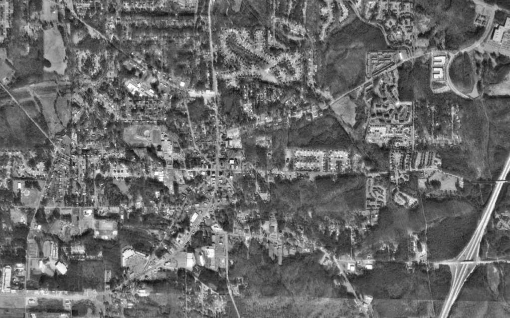
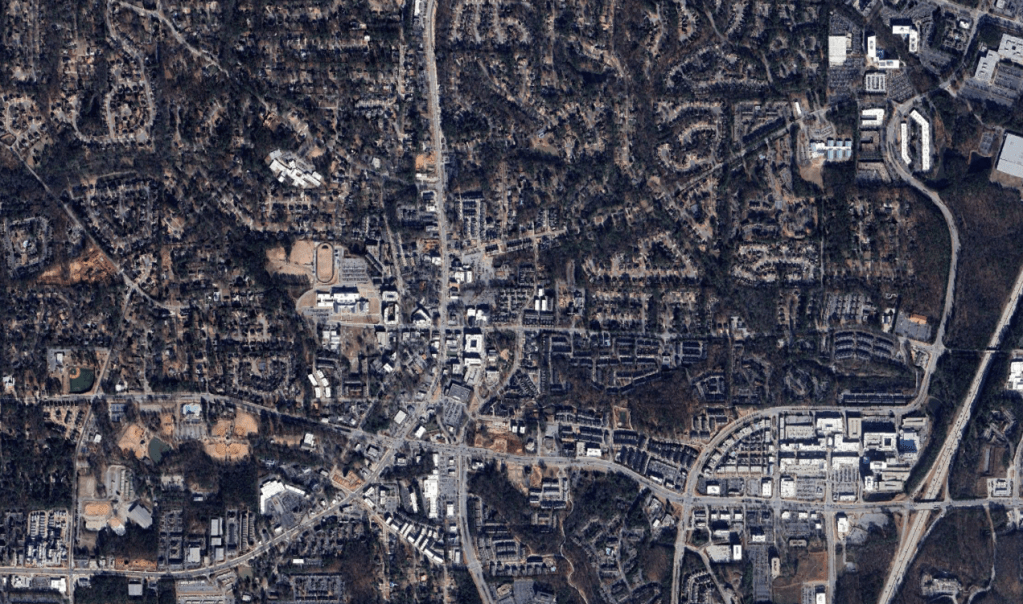
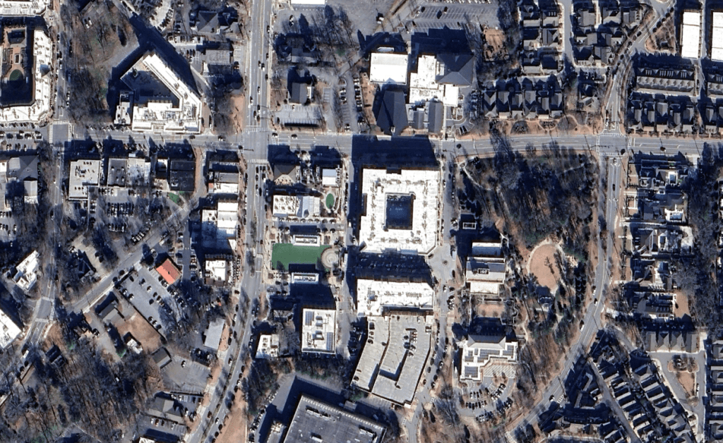
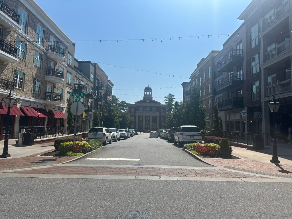
Through the years, the City has evolved from a sleepy outer-ring suburb with a small traditional center surrounded by low density sprawl to a thriving mixed-use City through years of infill design and connectivity.
19932002201220252025
Images: GoogleEarth
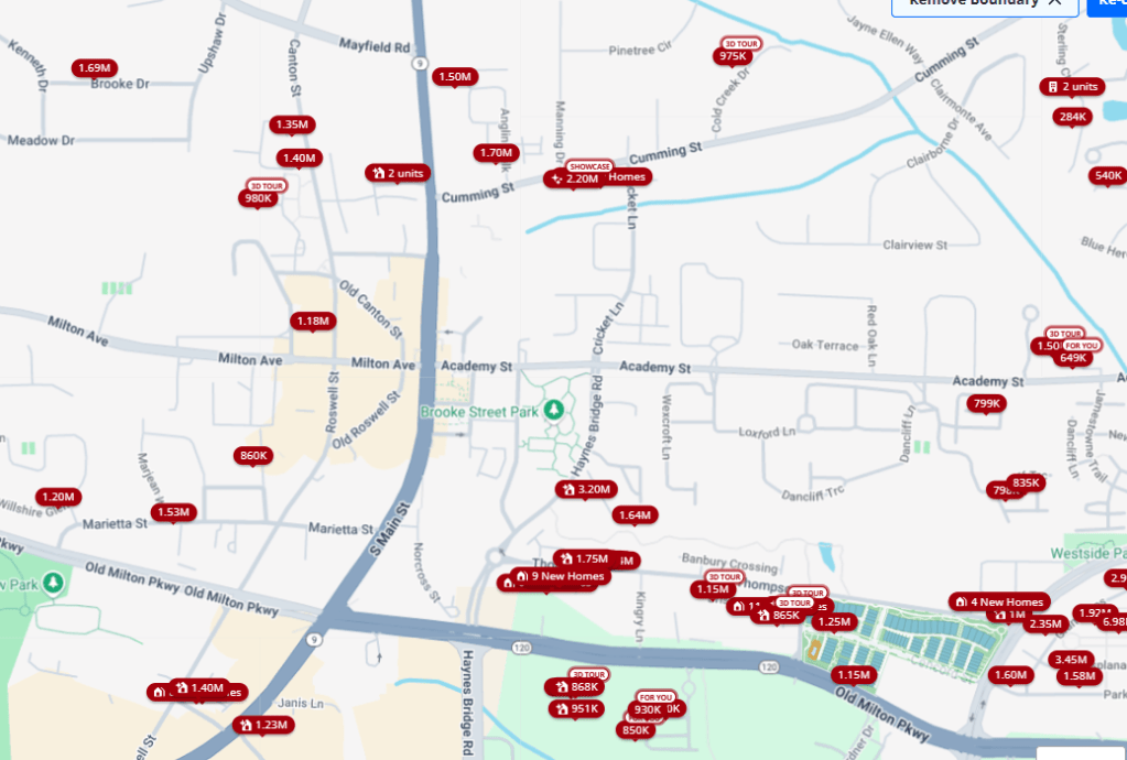
As with most of these higher end suburbs, the design is impeccable. However, this leads to outrageous housing prices. Just about everything for sale within walking distance of the core is well over $1 million. Another unfortunate thing about these higher end suburbs is their tendency to be extremely anti-renter as evident by the lack of rental units in the core. It’s almost like people will pay a premium to live in walkable areas and we should maybe build more of them!
Images: Zillow
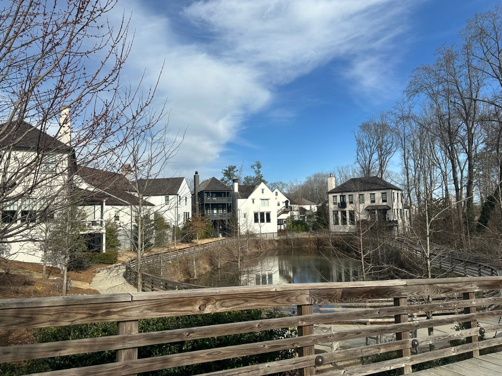
Despite this, I can’t help but appreciate the quality of design, outdoor spaces, connectivity, and mix of housing styles present all within walking distance of everything needed for daily activities. For many suburbanites, these types of developments are their introduction to “urban lifestyles” and play an extremely important role in the future of sprawl repair and the building of better suburbs.
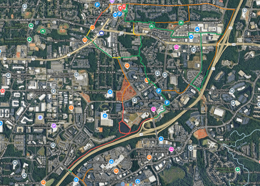
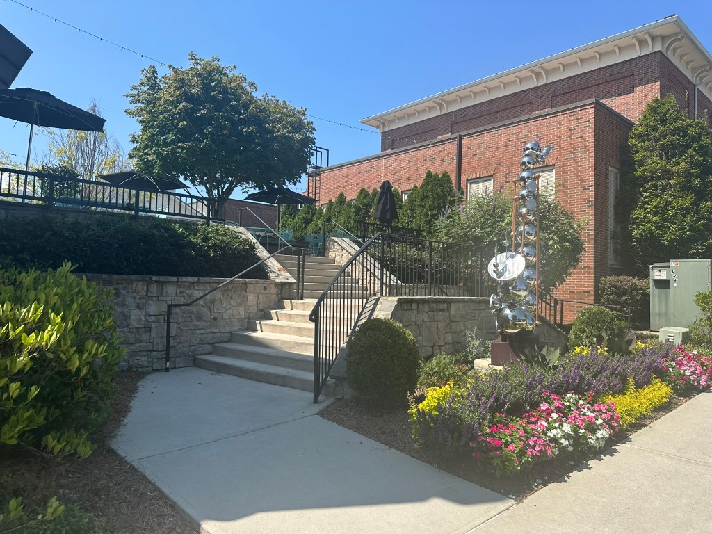
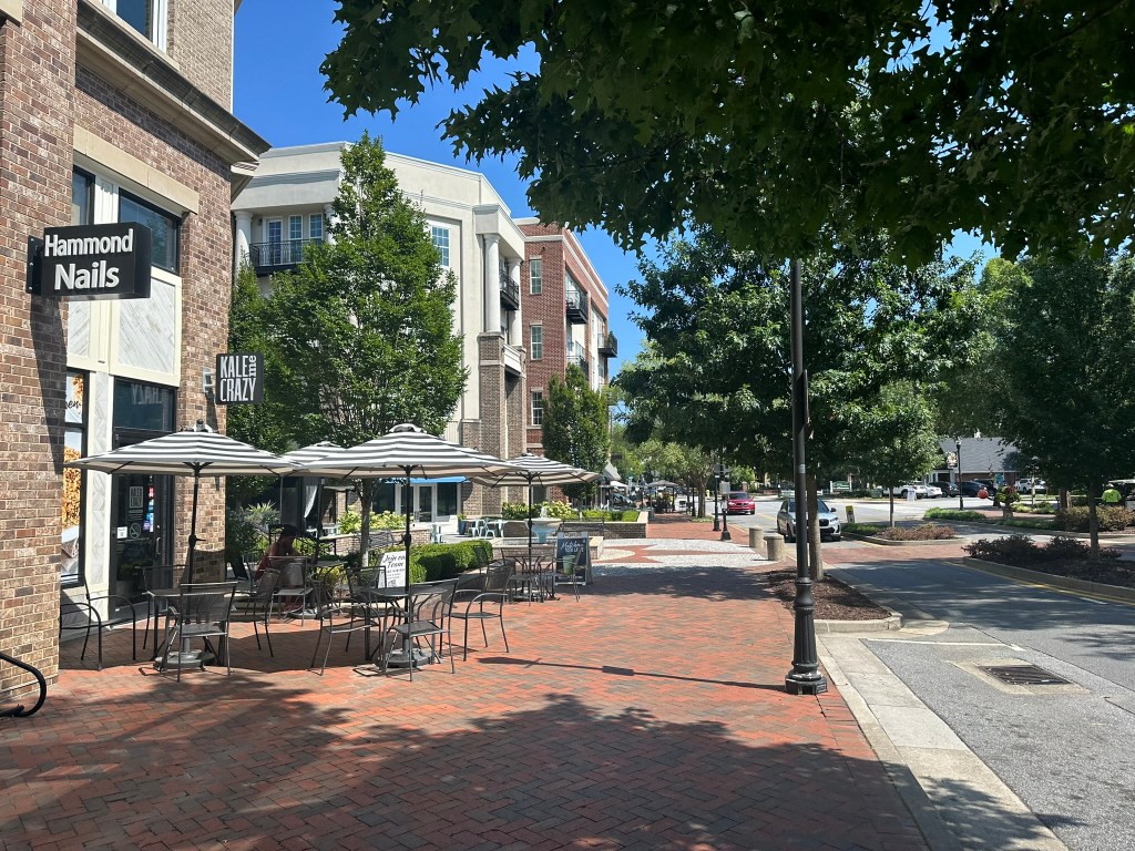
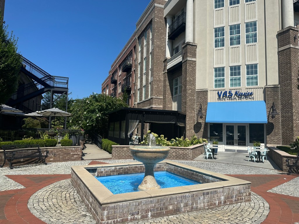
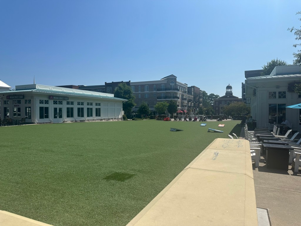
Alpharetta has demonstrated that it’s not just for show either, dedicating tons of resources to parks, greenspaces, and their version of the BeltLine, the AlphaLoop which will cohesively connect most of the City.
Alpharetta’s early answer to Atlantic Station – Avalon, has been a hit success to and has nearly seamlessly blended with Downtown at this point connected with dense infill and a trail system.
Google Earth
Despite the economic slowdown, the development pipeline remains strong with key parcels getting developed, office parks evolving, the traditional mall potentially being redeveloped, and a NHL arena?! Ok, that last one isn’t technically Alpharetta, but actually South Forsyth with an Alpharetta mailing address.
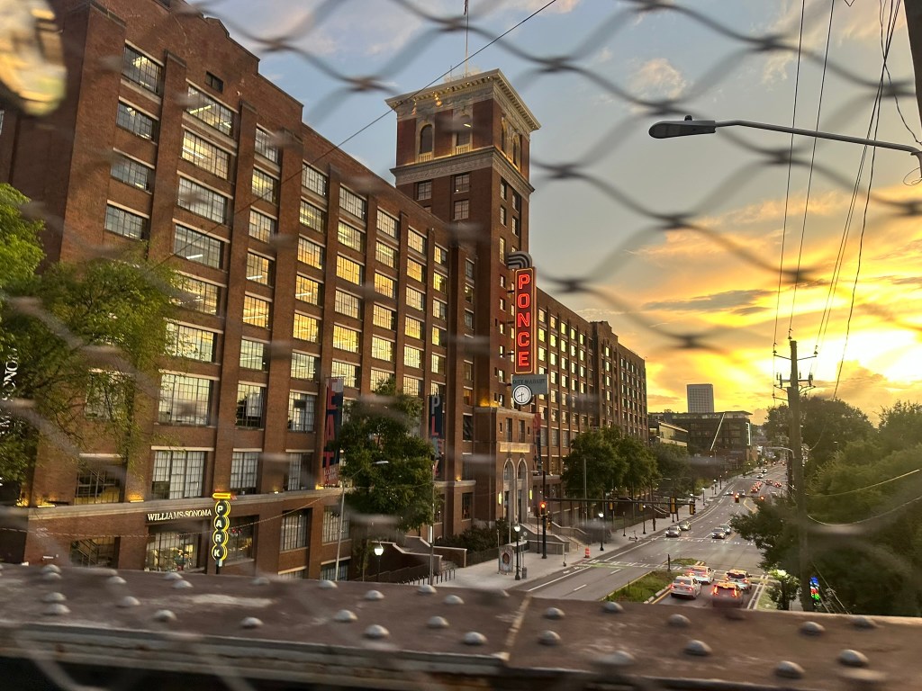
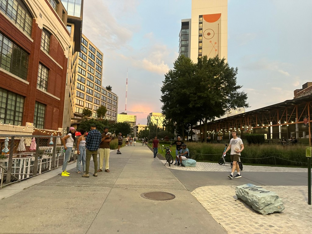
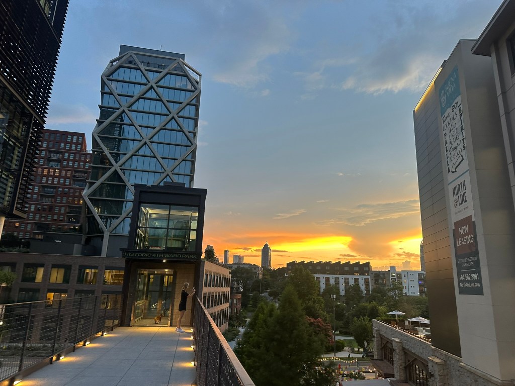
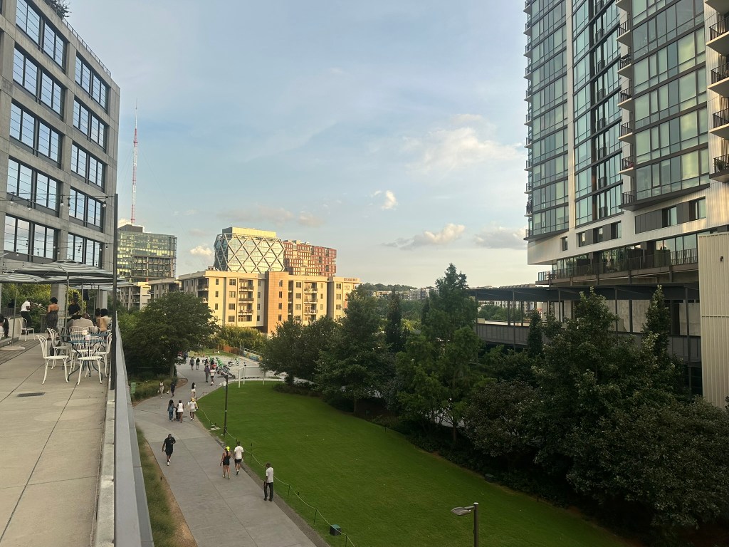
Check out my collection of photos from a few recent visits to the Downtown Center.
Overall, Alpharetta is a beautiful City with impressive architecture, density, and mix of uses that shows that we can design suburbs better. Unfortunately, until we build more of them all over, they will continue to be out of reach to most due to inflated prices. As more and more suburban cities take note, I believe suburban sprawl repair will become the norm! Let’s hope so.
Stay tuned as next time we’ll explore Milton / Crabapple.
Phil Veasley is a Professional Engineer and CNU accredited member working to design safer multimodal infrastructure in cities throughout the US.
My goal is to create cities that are safe and effective for all people to move about outside of cars. To achieve that we have to focus on creating equitable, dense, and vibrant cities full of walkable neighborhoods with a various mix of housing choices, schools, restaurants, transit, and services. We cannot have safe multimodal infrastructure without the density to support it and we cannot have equitable density without safe multimodal infrastructure. Outside of designing safe streets, my passions are sketching ideas for infill neighborhoods, floor plans, urban photography, and exploring our cities on foot or bike. Please check out the menus above for all of my ideas and also check out my YouTube, Instagram,BlueSky Social, and Twitter accounts.
Opinions and insights are my own and are not representative of my employer or any organization.
The newest segment of Atlanta BeltLine trail is open over on the Westside. Something tells me it will be mind-blowing to revisit this video a decade from now and see how far things have come. Head to YouTube to watch!
Phil Veasley is a Professional Engineer and CNU accredited member working to design safer multimodal infrastructure in cities throughout the US.
My goal is to create cities that are safe and effective for all people to move about outside of cars. To achieve that we have to focus on creating equitable, dense, and vibrant cities full of walkable neighborhoods with a various mix of housing choices, schools, restaurants, transit, and services. We cannot have safe multimodal infrastructure without the density to support it and we cannot have equitable density without safe multimodal infrastructure. Outside of designing safe streets, my passions are sketching ideas for infill neighborhoods, floor plans, urban photography, and exploring our cities on foot or bike. Please check out the menus above for all of my ideas and also check out my YouTube, Instagram,BlueSky Social, and Twitter accounts.
Opinions and insights are my own and are not representative of my employer or any organization.
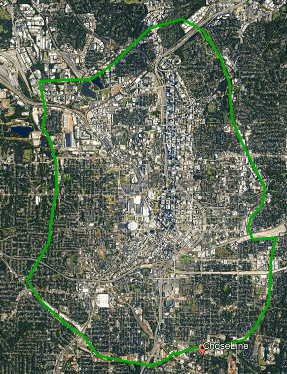
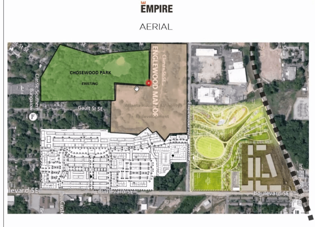
Filling in a key piece of underutilized BeltLine adjacent property is not only essential to making rail on the BeltLine successful but is also crucial in providing much needed housing and services in the underserved Chosewood Park neighborhood.
Location along the BeltLine and within the neighborhood: GoogleEarth
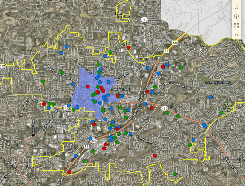
The area today is a mix of underused warehouses and maintenance yards surrounded by booming residential development. In the immediate vicinity there are currently over 2000 units approved with Zephyr, Englewood South, and Skylar. There’s also plans for a massive new park, Boulevard Crossing Park adjacent to the site but has no identified funding.
Atlanta Housing AuthorityEmpire Homes
Despite rumors of a Publix-anchored shopping center within Zephyr a few years ago, there’s been no movement or signs of that being true. This has left the area severely under-served by grocery, services, and general commercial offerings.
The Future
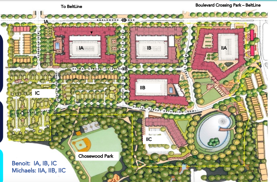
My sketch idea sees a community of roughly 1000 homes ranging from apartments and condos to courtyard focused townhomes.
The retail aspects contain BeltLine fronting grocery, kiosk style small-scale shops, and eateries. There is also an adaptive reuse food hall. Larger neighborhood-focused restaurants and retail are shown too.
The community would be stitched in a cohesive way to the BeltLine and surrounding neighborhood by numerous pedestrian pathways, expanded grid system, and multiple greenspaces, event lawns, and plazas.
We can not afford to have this level of under-utilization along a key stretch of BeltLine frontage which is also now slated to contain the first phase of rail according to the Mayor.
NOTE: I do not own, control, have actual say, etc over any of the proposed redeveloped parcels. This is just an idea and just a sketch.
Phil Veasley is a Professional Engineer and CNU accredited member working to design safer multimodal infrastructure in cities throughout the US.
My goal is to create cities that are safe and effective for all people to move about outside of cars. To achieve that we have to focus on creating equitable, dense, and vibrant cities full of walkable neighborhoods with a various mix of housing choices, schools, restaurants, transit, and services. We cannot have safe multimodal infrastructure without the density to support it and we cannot have equitable density without safe multimodal infrastructure. Outside of designing safe streets, my passions are sketching ideas for infill neighborhoods, floor plans, urban photography, and exploring our cities on foot or bike. Please check out the menus above for all of my ideas and also check out my YouTube, Instagram,BlueSky Social, and Twitter accounts.
Opinions and insights are my own and are not representative of my employer or any organization.
2025 is somehow halfway over! It’s felt like 10 years at times but we’re still pushing.
The Urban Connector monthly newsletter looks back on the best of the previous month as well as ways to get involved in the coming month. Please make sure you sign up below to have these delivered straight to your inbox and follow on YouTube,Twitter,BlueSky Social, and Instagram.
Urban Thoughts: Too small for an article, too big to miss
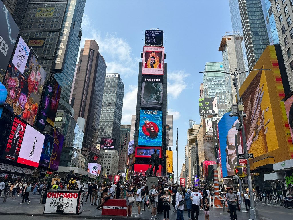
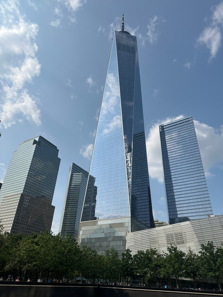
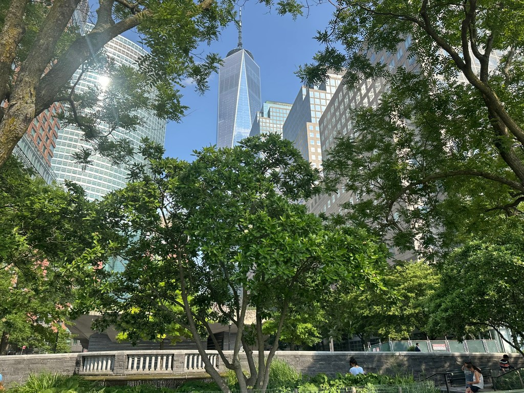
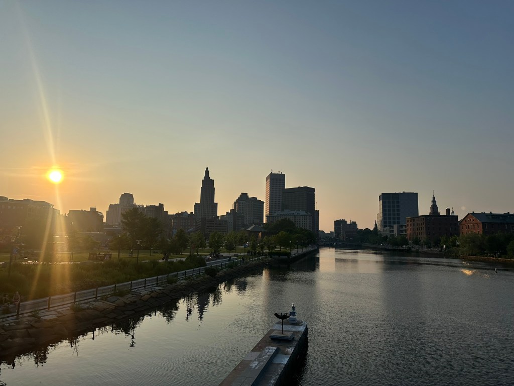
The Northeast
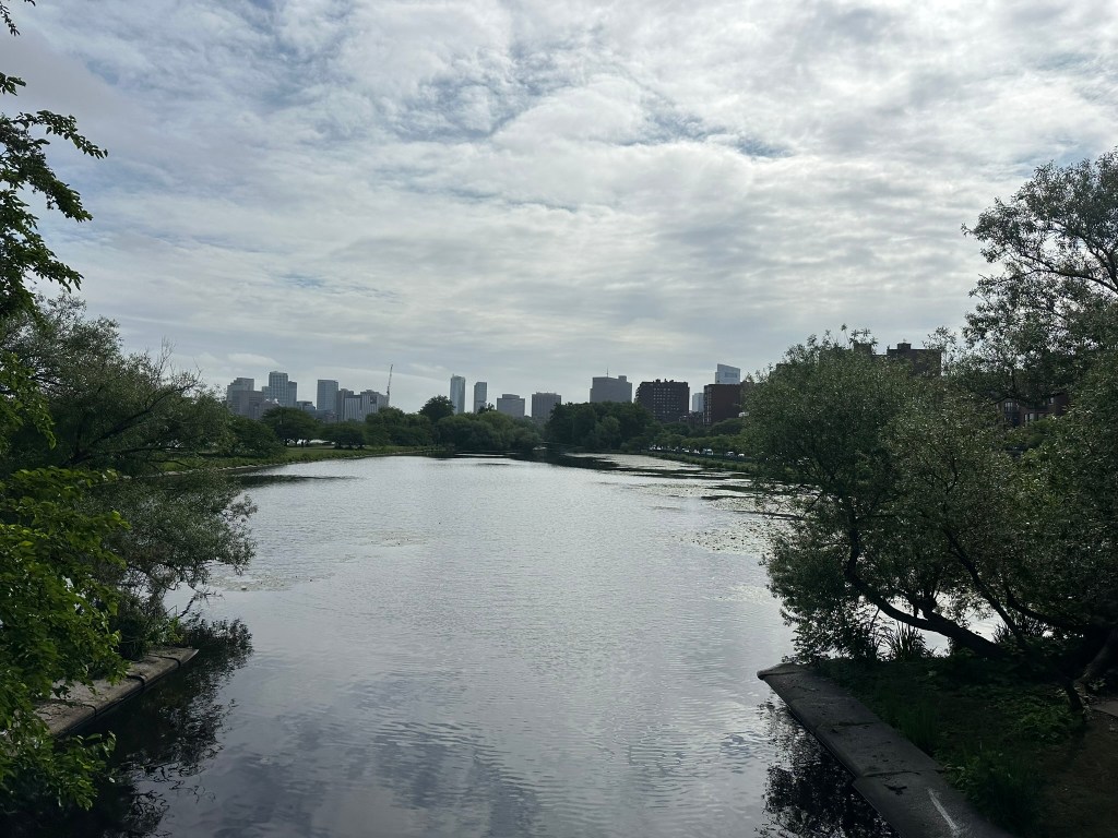
There’s something special about the Northeast. It’s been 20 years since I called it home. I was a child then, so there’s a lot I didn’t know. But it still feels like home every time, from the adequate transit, bones of the cities, neighborhoods and more. There’s just one huge issue, housing – well and the weather! I’ll have many more thoughts from my time at CNU, New York, and Southern New England in upcoming pieces.
What I’m working on this month(and probably later)
Updates to earlier drawings of the Reconnecting Communities sketches
More suburban spotlights
InPhil Designs ideas
UrbanConnector First Thoughts: Chicago, Providence
I’m sure this newsletter will evolve as time goes on. Comments or suggestions? Let me know!
Phil Veasley is a Professional Engineer and CNU-Accredited Professional member working to design safer multimodal infrastructure in cities throughout the US.
My goal is to create cities that are safe and effective for all people to move about outside of cars. To achieve that we have to focus on creating equitable, dense, and vibrant cities full of walkable neighborhoods with a various mix of housing choices, schools, restaurants, and services. We cannot have safe multimodal infrastructure without the density to support it and we cannot have equitable density without safe multimodal infrastructure. Outside of designing safe streets, my passions are sketching ideas for infill neighborhoods, floor plans, urban photography, and exploring our cities on foot or bike. Please check out the menus above for all of my ideas and also check out my YouTube, Instagram,BlueSky Social, and Twitter accounts.
Opinions and insights are my own and are not representative of my employer or any organization.
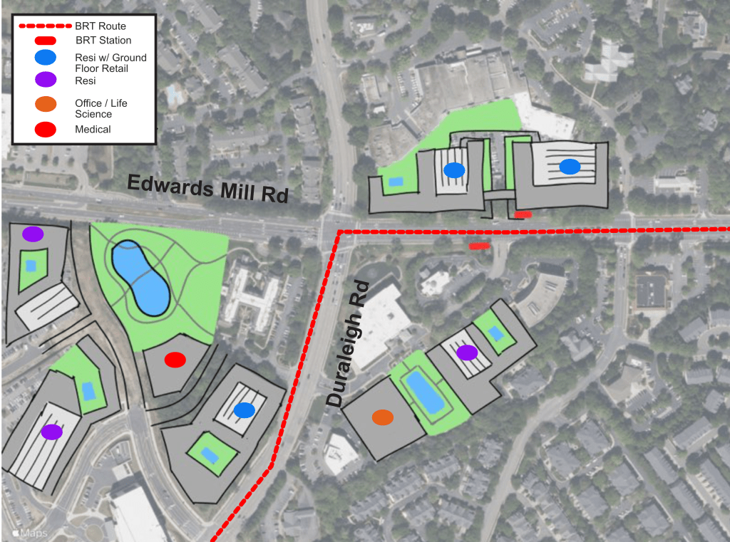
The Old Raleigh Village and Glenlake stations provide an opportunity to create walkable infill. They also make the most of a large shopping center surface lot.
Today, the area is a mix of surface lots and outparcels ripe for better use along a high capacity transit line.
GoogleEarthGoogleEarth
In the future, filling out the remaining parcels North of UNC rex can create a walkable village. Revamping the surface lot of the shopping center also contributes to this vision for the Old Raleigh Village BRT station.
Further up Edwards Mill Rd, the Glenlake station could add a close to 500 more residences and some ground floor retail to complete the Glenlake development.
NOTE: I do not own, control, have actual say, etc over any of the proposed redeveloped parcels. This is just an idea and just a sketch.
Stay tuned over the coming months as we’ll work through all of the stations along the corridor.
Phil Veasley is a Professional Engineer and CNU accredited member working to design safer multimodal infrastructure in cities throughout the US.
My goal is to create cities that are safe and effective for all people to move about outside of cars. To achieve that we have to focus on creating equitable, dense, and vibrant cities full of walkable neighborhoods with a various mix of housing choices, schools, restaurants, transit, and services. We cannot have safe multimodal infrastructure without the density to support it and we cannot have equitable density without safe multimodal infrastructure. Outside of designing safe streets, my passions are sketching ideas for infill neighborhoods, floor plans, urban photography, and exploring our cities on foot or bike. Please check out the menus above for all of my ideas and also check out my YouTube, Instagram,BlueSky Social, and Twitter accounts.
Opinions and insights are my own and are not representative of my employer or any organization.
We have concrete! We have concrete! A look at construction progress on the highly anticipated Southeast Trail. Meanwhile, north of Ormewood, things seem much further off. Head to YouTube to watch!
Phil Veasley is a Professional Engineer and CNU accredited member working to design safer multimodal infrastructure in cities throughout the US.
My goal is to create cities that are safe and effective for all people to move about outside of cars. To achieve that we have to focus on creating equitable, dense, and vibrant cities full of walkable neighborhoods with a various mix of housing choices, schools, restaurants, transit, and services. We cannot have safe multimodal infrastructure without the density to support it and we cannot have equitable density without safe multimodal infrastructure. Outside of designing safe streets, my passions are sketching ideas for infill neighborhoods, floor plans, urban photography, and exploring our cities on foot or bike. Please check out the menus above for all of my ideas and also check out my YouTube, Instagram,BlueSky Social, and Twitter accounts.
Opinions and insights are my own and are not representative of my employer or any organization.
The Urban Connector monthly newsletter looks back on the best of the previous month as well as ways to get involved in the coming month. Please make sure you sign up below to have these delivered straight to your inbox and follow on YouTube,Twitter,BlueSky Social, and Instagram.
Urban Thoughts: Too small for an article, too big to miss
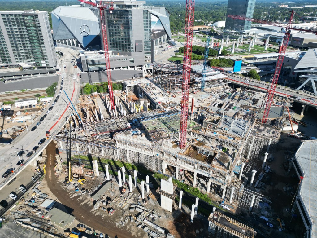
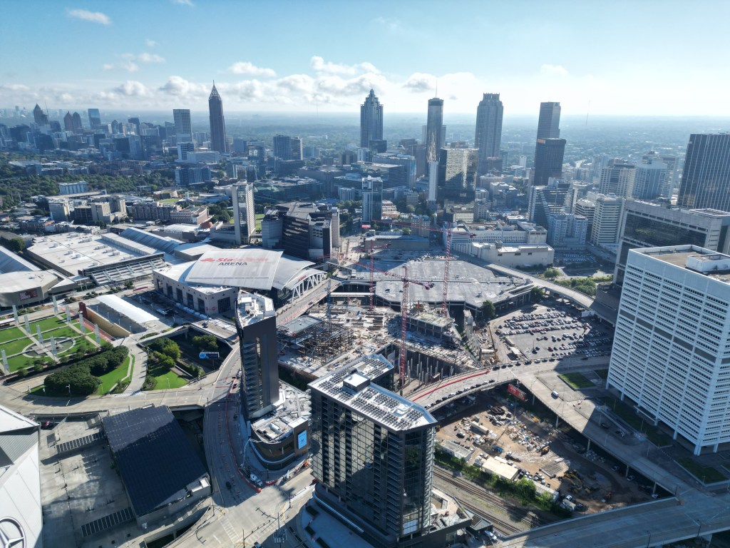
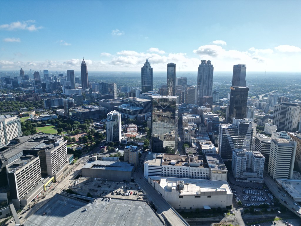
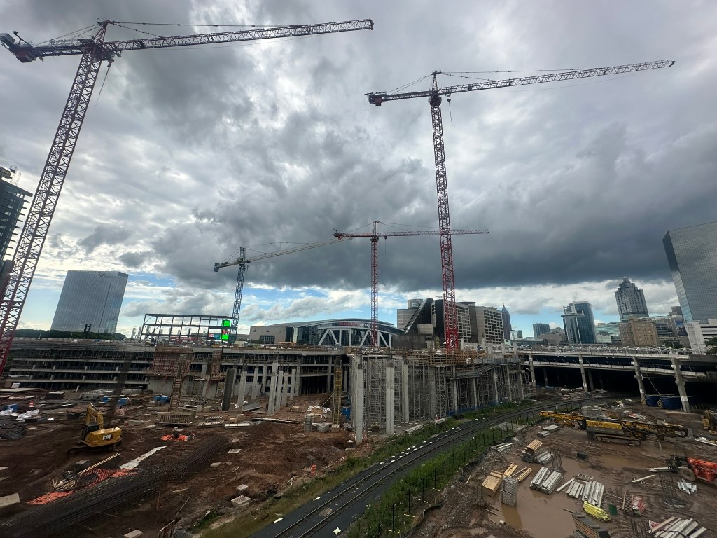
Downtown Ghost Town: A recent walk from Downtown to Midtown to the Eastside Beltline really highlighted the stark difference in foot traffic and activity during a non-event evening. I still believe that when Centennial Yards, Downtown South, and the Stitch (if the feds still award the grant) get going momentum will massively shift! We need people to want to visit and linger outside of events and even call Downtown home. Another good sign is the sheer number of cranes right now in Downtown. They outnumber the amount of cranes in Midtown for the first time I can remember. I wrote about my belief in Downtown a few years ago and despite some changes since then, most of it still rings true.
Urban “Environmentalists”: A big pet peeve of mine is the self proclaimed group of people who consider themselves urban environmentalists. It’s usually not even about trees for these people. It’s about stopping any and all development. If they really cared about trees or the environment, they’d allow more intense development in existing neighborhoods. This would slow down destructive sprawl and increased traffic, which are the real issues contributing to climate change and affordability problems. 1000 trees per acre being clear cut for .25 acre lots and forced car dependency is seen as no issue. Meanwhile, a few trees on an infill lot to build a duplex or small apartment building where people can easily walk and bike is met with swift resistance in the name of environmentalism. It’s purely performative. It’s mainly just another hurdle and tax on the primary people trying to develop sustainable, attainable housing products in urban areas.
What I’m working on this month(and probably later)
South side BeltLine infill concepts
Updates to earlier drawings of the Reconnecting Communities sketches
More suburban spotlights
InPhil Designs ideas
UrbanConnector First Thoughts: Chicago, Providence
I’m sure this newsletter will evolve as time goes on. Comments or suggestions? Let me know!
Phil Veasley is a Professional Engineer and CNU-Accredited Professional member working to design safer multimodal infrastructure in cities throughout the US.
My goal is to create cities that are safe and effective for all people to move about outside of cars. To achieve that we have to focus on creating equitable, dense, and vibrant cities full of walkable neighborhoods with a various mix of housing choices, schools, restaurants, and services. We cannot have safe multimodal infrastructure without the density to support it and we cannot have equitable density without safe multimodal infrastructure. Outside of designing safe streets, my passions are sketching ideas for infill neighborhoods, floor plans, urban photography, and exploring our cities on foot or bike. Please check out the menus above for all of my ideas and also check out my YouTube, Instagram,BlueSky Social, and Twitter accounts.
Opinions and insights are my own and are not representative of my employer or any organization.