Subscribe to my YouTube Channel
Subscribe to receive email notifications for new articles.
Last week, I had the incredible opportunity to spend a week touring the best multimodal infrastructure in the world with the Georgia ITE section.
Here are some of my intimal takeaways from an unforgettable journey. In the coming weeks, I’ll be diving deeper with a closer look at each day of the tour.
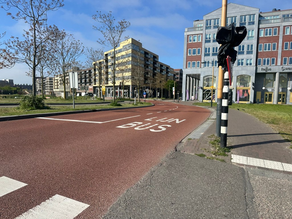
Trains are everywhere!
All the time, day and night, city to city, intercity (express), and sprinter (local).
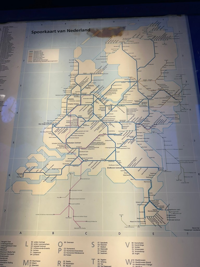
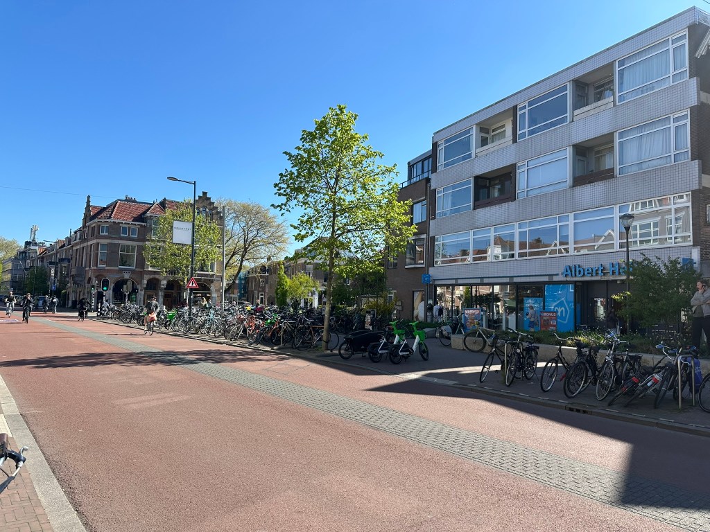
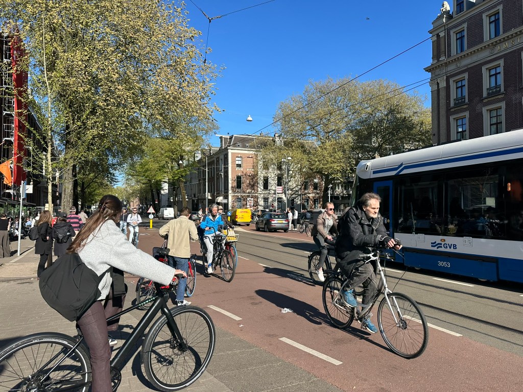
NS Railways (Nederlandse Spoorwegen / Dutch Railways) runs a comprehensive nationwide network of electrified passenger rail. Most routes run every 15 minutes so you never really even have to look a schedule until you arrive at the station to find your platform. Also many of the intercity routes operate 24/7. That’s just the National level – In the major cities, there’s one to two additional rail layers – trams and metros for more direct local access.
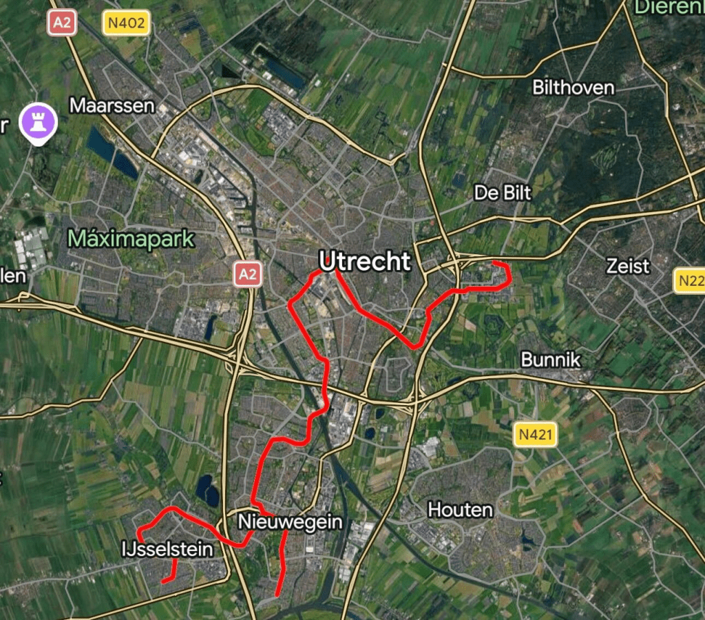
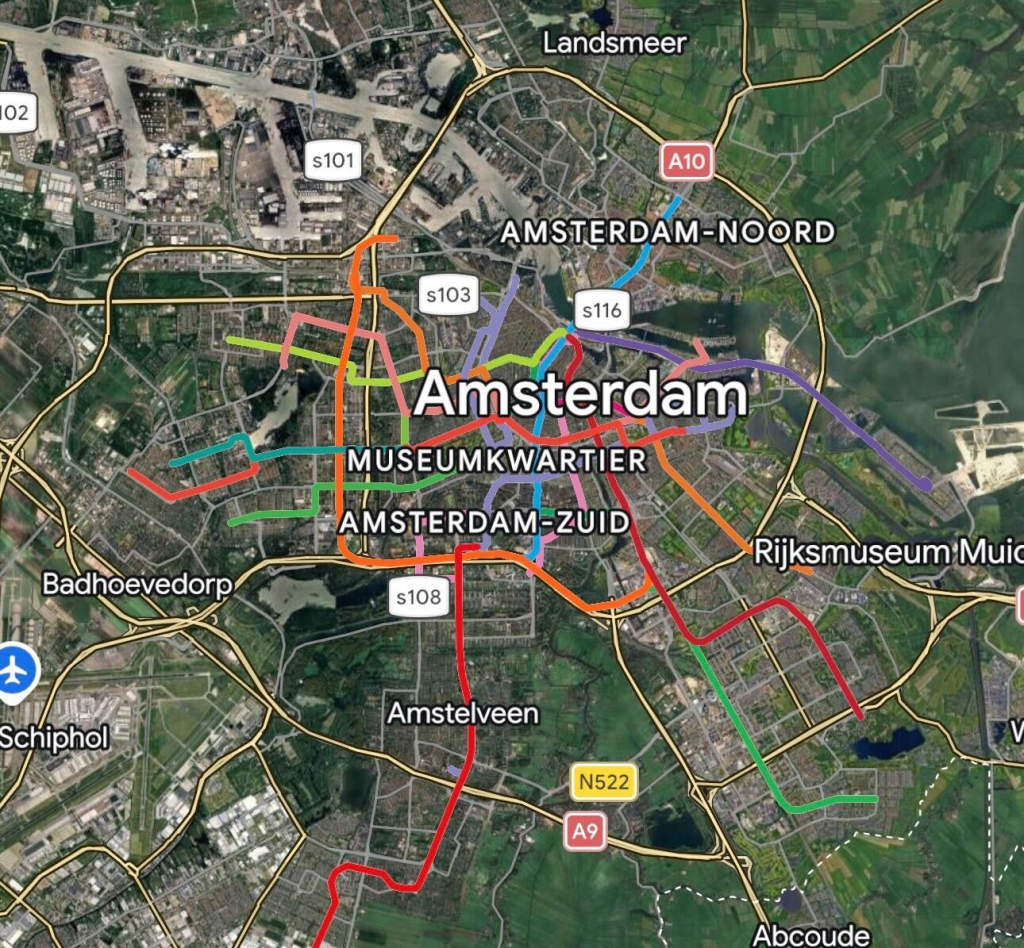
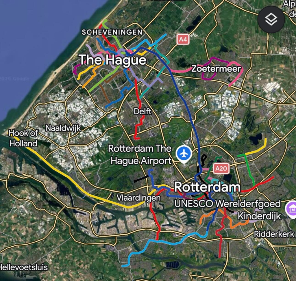
Tram / Metro maps of Utrecht, Amsterdam, and Rotterdam / The Hague – GoogleMaps
On top of these layers, there’s also tons of frequent local bus service to provide unmatched access.
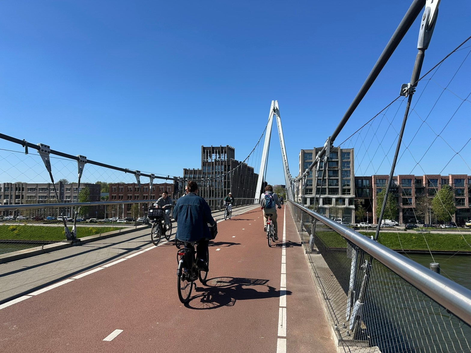
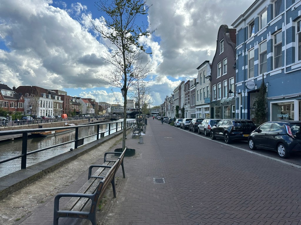
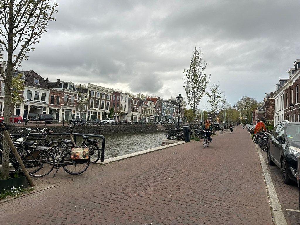
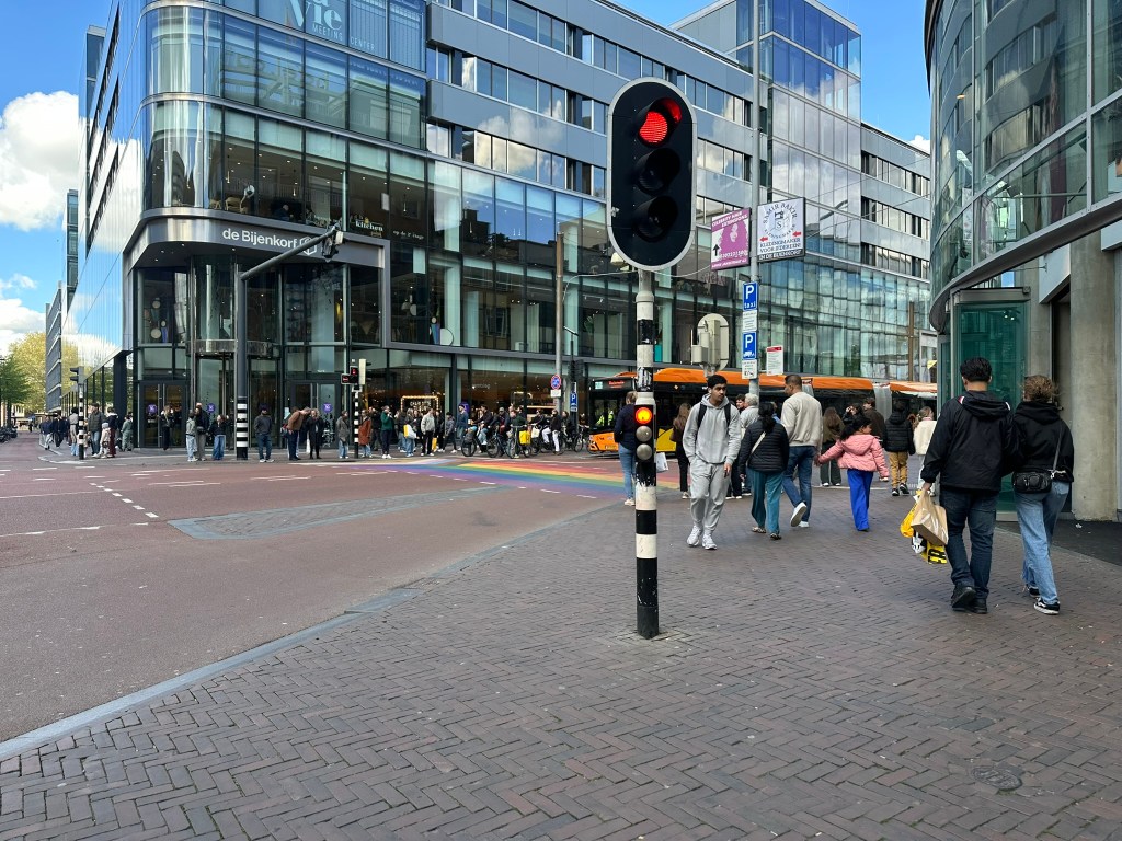
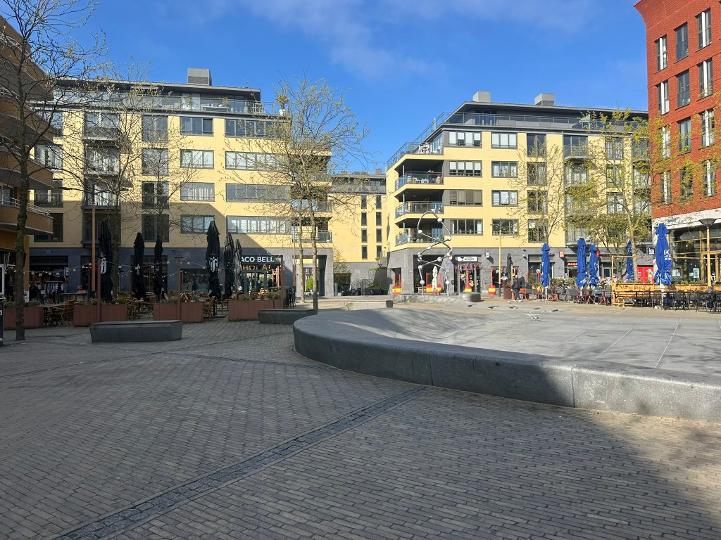
Cars are Guests – Not Banned
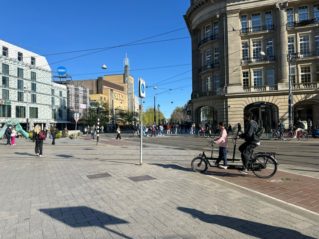
In many city centers and residential districts, many streets are built for their intended use – people. Bikes and pedestrians are given priority. Even though cars are allowed in most of these spaces for local access and parking, the spaces are clearly designed for the movement of people on bike or foot.
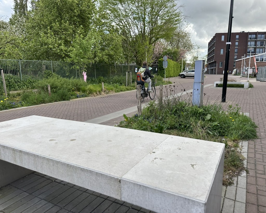
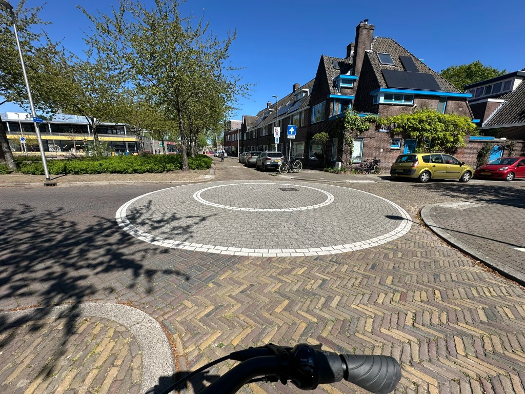
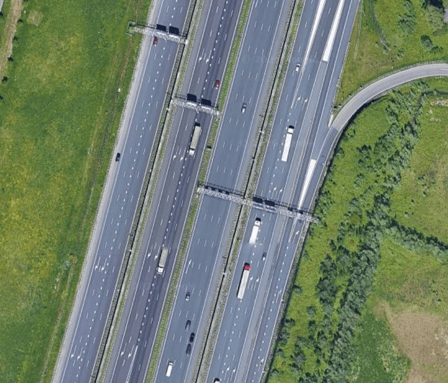
There are still tons of cars, tons of on-street parking, huge 6+ lane motorways, and massive interchanges. They’re just not plowed into city centers and there’s no arterials (stroads) that are trying to function as actual streets. Next time someone accuses a bike lane project of trying to ban cars, just mention this. We can design for the mobility of all users while still reasonably accommodating cars.
Social Order
There is a higher respect for right-of-way of cars, bikes, pedestrians, and transit that just make it all work. In many places that may mean that cars have complete right of way but everyone follows the flow and it works seamlessly. You rarely see stop signs and signals in places that we typically would. And many signals go into flash mode after rush hour. I consider it “controlled chaos” meaning that it may look like a clustered jumble but it all flows and works at in it’s own way.
No Sprawl
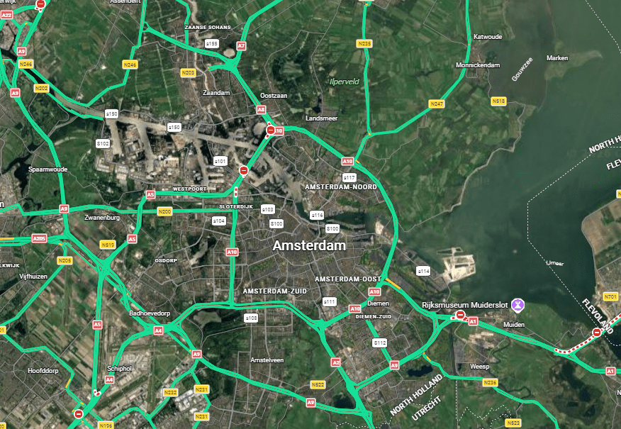
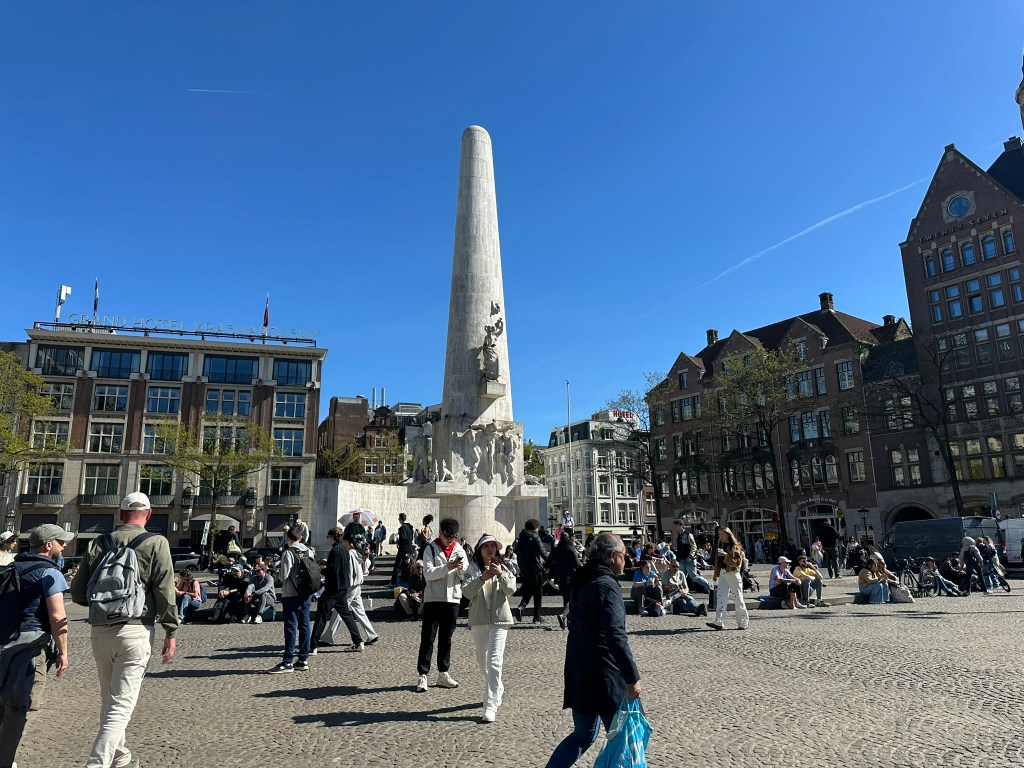
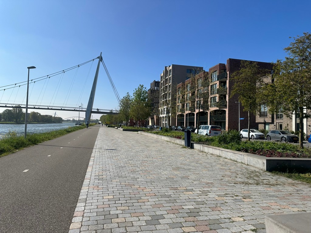
Cities are cites, the country is the country, period. The Randstad cities of Amsterdam, Rotterdam, The Hague, and Utrecht form a triangle where all sides are around 30 miles. In America, this would likely mean massive amounts of endless sprawl filling in the region.
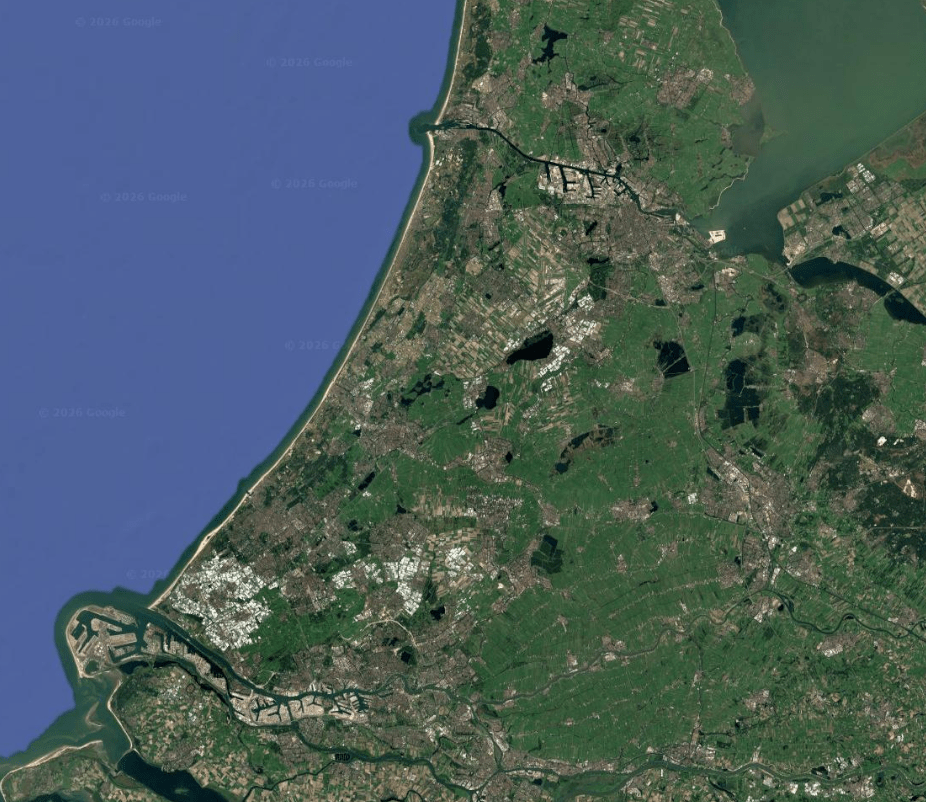
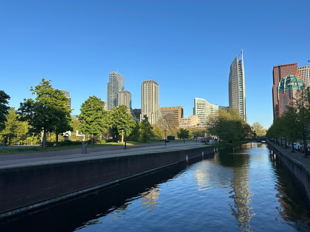
This isn’t the case here though. Each city has a clear limit with ample countryside in between. The region is slightly bigger than metro Atlanta yet over half is untouched countryside. It’s also not like the cities are packed with towers either. Most of the density comes from low to mid-rise residential neighborhoods. Outside of Rotterdam (we’ll touch on the reason further in a future post), the skylines are very modest for cities of this size.
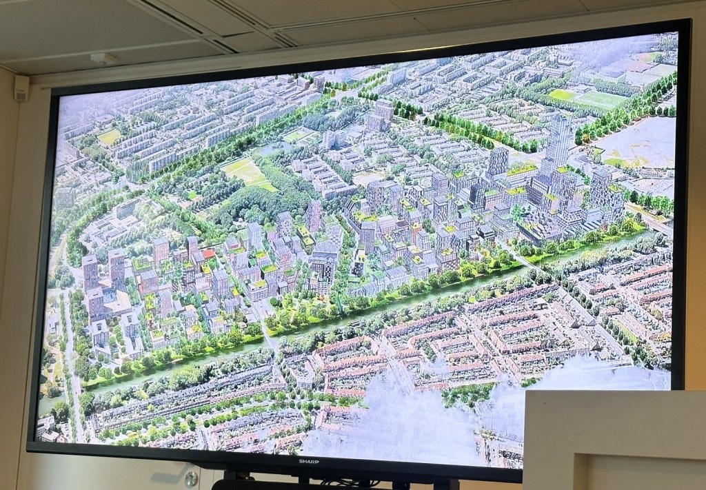
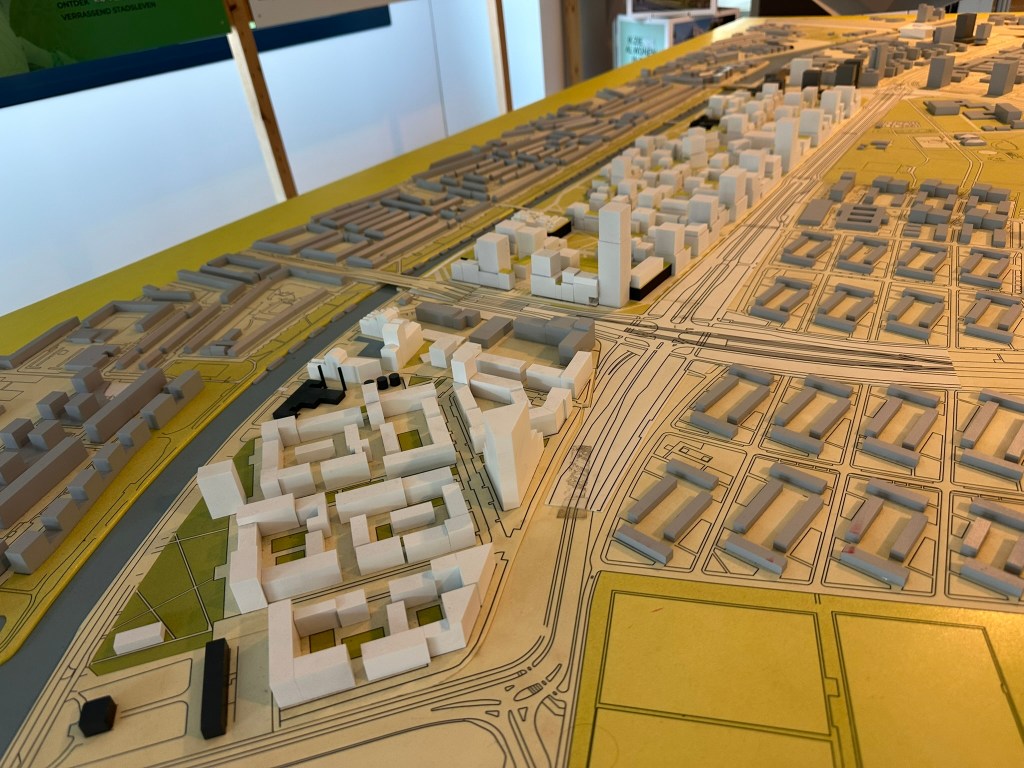
The lack of sprawl isn’t a product of slow or low development either. There’s tons of new development being done in thoughtful ways. There’s your classic infill within the cites all over the place. And when they do turn to greenfield, it’s dense, vibrant, walkable, bike-friendly, and directly connected to transit.
Care for the Future
Large swaths of The Netherlands are below sea level. The nation is trying their best to make sure they’re set up for the future. It wasn’t always like this. In the 1970’s they were on a similar car-dependent tract like the US but through decades of change and commitment to density, sustainability, investment and care they’re on a completely different path.
My long-stated vision for places is that they are connected, cohesive, and accessible for all. Places in the Netherlands consistently check all three.
In the coming weeks, I’ll be taking a closer look back at each day of the tour.
All Articles: The Urban Connector
Subscribe to my YouTube Channel
Subscribe to receive email notifications for new articles.
I’ll be reposting my favorite ideas to date plus all new content over on Substack! As always, everything will remain free so hop on over and subscribe!
Phil Veasley, PE, CNU-A, The Urban Connector, is a Professional Engineer with Nelson\Nygaard Consulting Associates focused on creating safer, more vibrant cities through strategic multimodal infrastructure design. With expertise spanning traffic analysis, hand sketching, conceptual design, and full construction documentation, he thrives on transforming roads into great streets where people of all ages and abilities can flourish. Based in Atlanta, Phil is a passionate advocate for walkable, dense, and equitable neighborhoods. Outside of work, his passion is exploring urban life through sketching infill ideas and navigating cities primarily by bike or foot. His on-the-ground perspective informs his professional work, helping him design transportation systems that are not only functional but also people-centered and inspiring. Phil brings both technical depth and a city lover’s enthusiasm to every project, drawing on the belief that infrastructure and urban form must go hand in hand to support vibrant, inclusive communities where everyone has access to opportunity and quality of life.
Please check out the menus above for all of my ideas and also check out my YouTube, Instagram, Website, Substack, and Twitter accounts.
Opinions and insights are my own and are not representative of my employer or any organization.

2 thoughts on “Takeaways From a Week in The Netherlands”